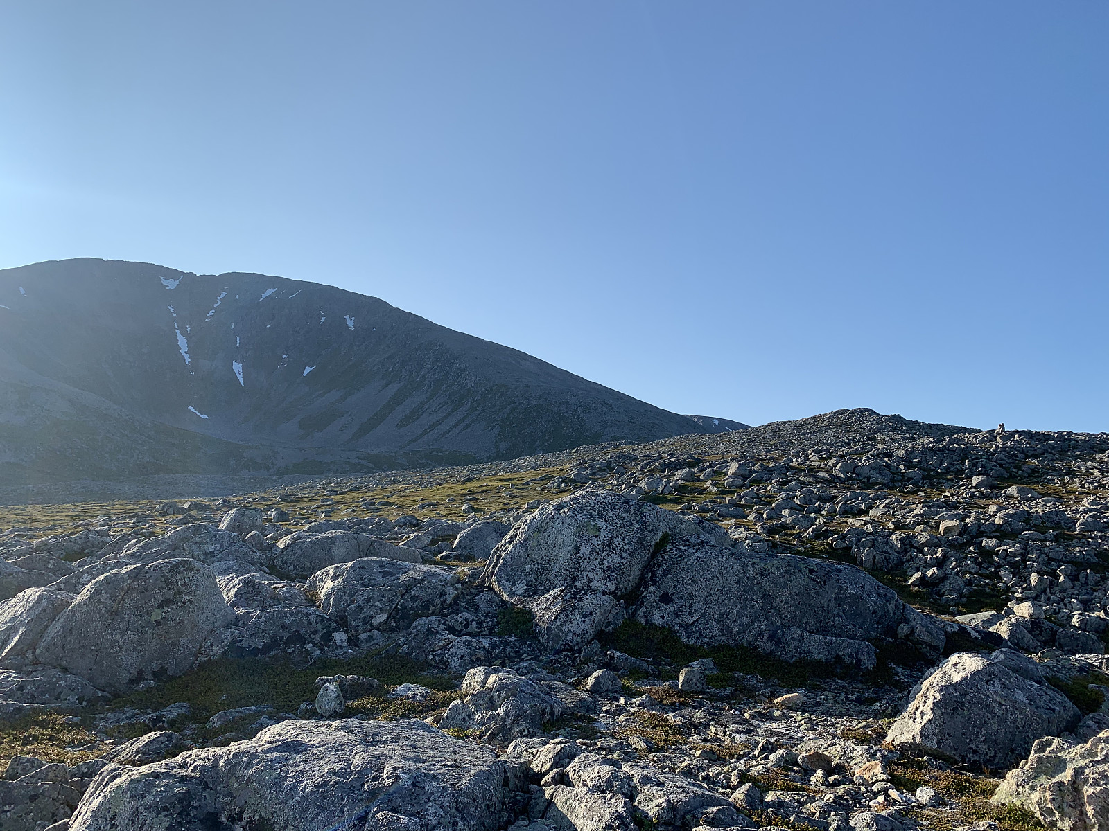
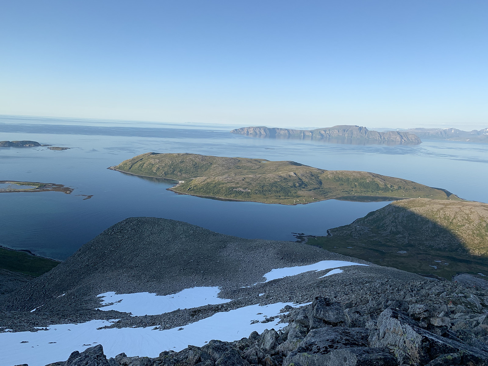
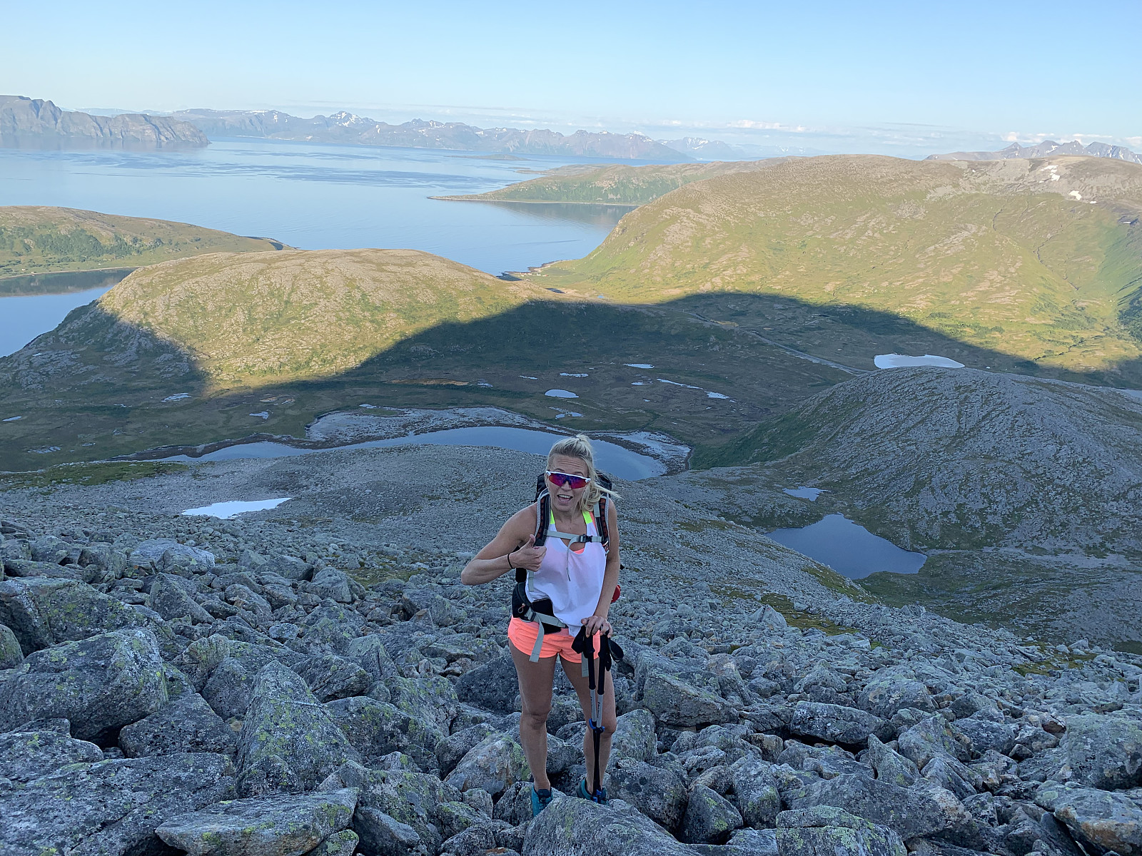
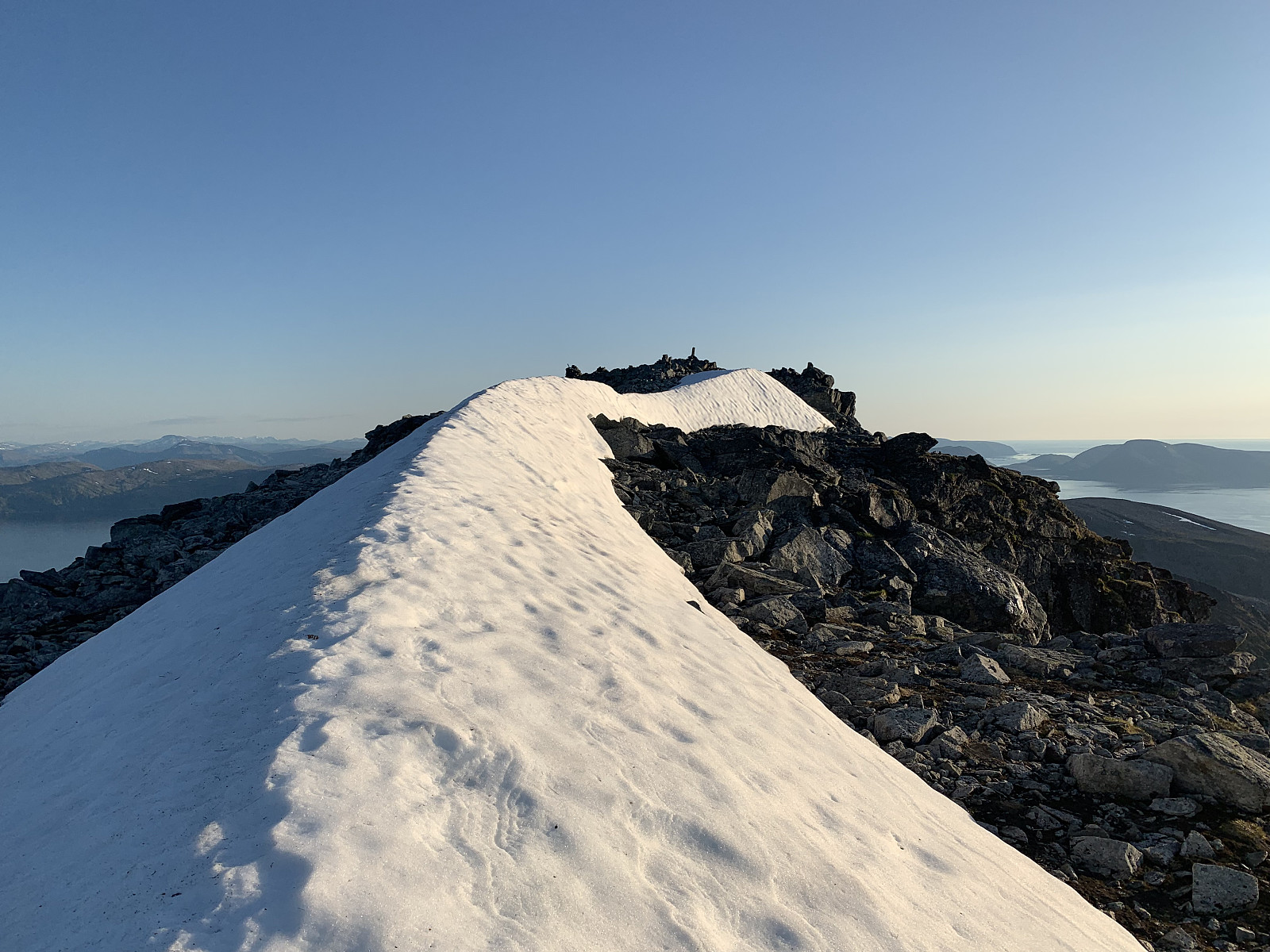
Kari & I started our weekend off in Vannøya with a late evening trip to Tvinnaren. We parked by the side of the smaller lake and started the trail from the sign. There was a faint path that was marked with red dots, though the trail was quite meandering and difficult to follow. We walked in a relaxed pace and after we came up to Lille Tvinnaren (242) we followed the markers to the right and the terrain became quickly more rocky. From here it was well marked to the top. We had a small break to take in the 360 degree views and then headed down again. We followed red markers on the way back but ended up on a different trail with a much steeper grass gully it sounds like otto (Otto Lund) followed on the way up. Perhaps better as a morning hike, as the midnight sun was out in full force but we walked in the shady side for majority of the hike.


User comments