
Luttinden (09.07.2019)


Skrevet av Skippy (Innika De Rosa)
| Startsted | Steinfjord (5moh) |
|---|---|
| Sluttsted | Luttinden |
| Turtype | Fjelltur |
| Turlengde | 2t 58min |
| Distanse | 4,3km |
| Høydemeter | 796m |
| GPS |
|
| Bestigninger | Luttinden (759moh) | 09.07.2019 |
|---|
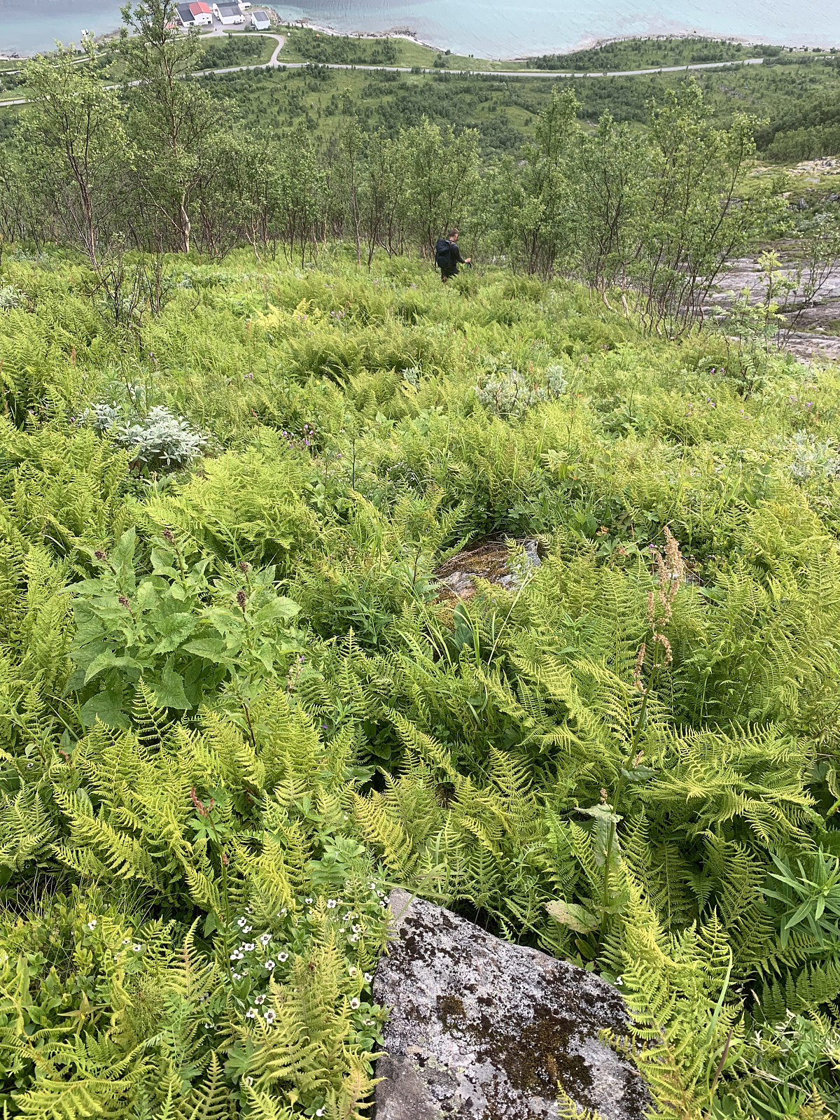
We set up camp at a small private beach in Steinfjord and drove to Hatten, which goes straight up behind Ersfjord. We struggled to find a good trail and ended up bush-bashing for half an hour through shoulder-high bug infested bushes before we gave up and headed back down to the beach. Luttinden sticks straight up from our campsite so we decided to give it try, though we were sceptical about the lack of trail.
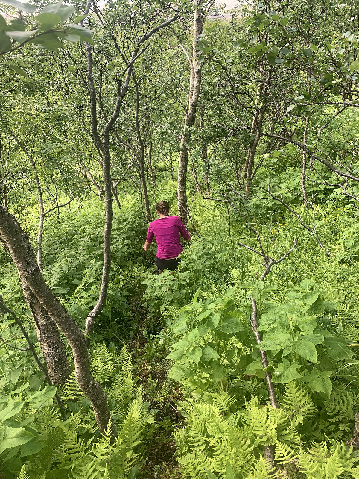
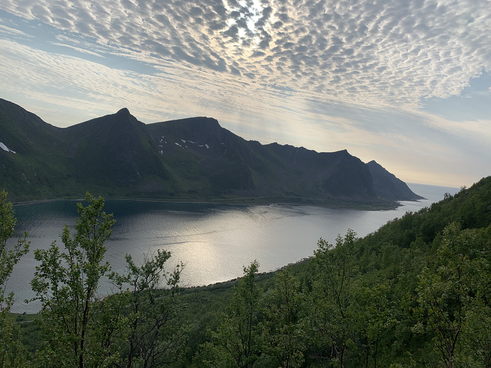
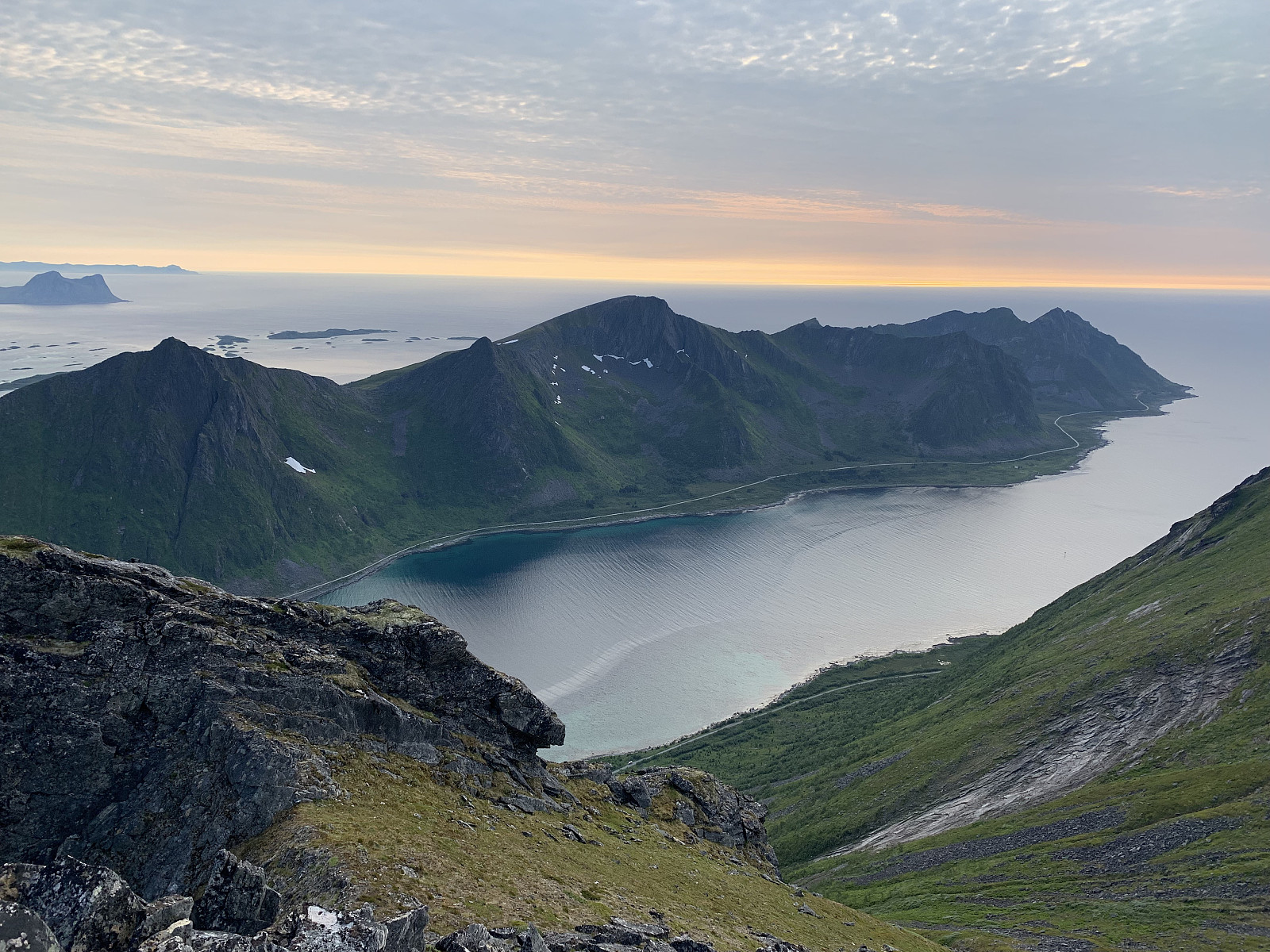
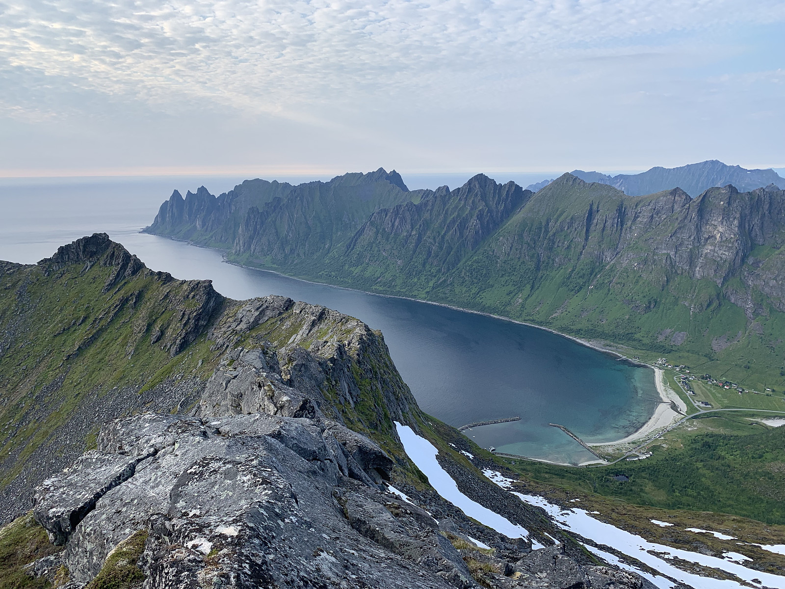
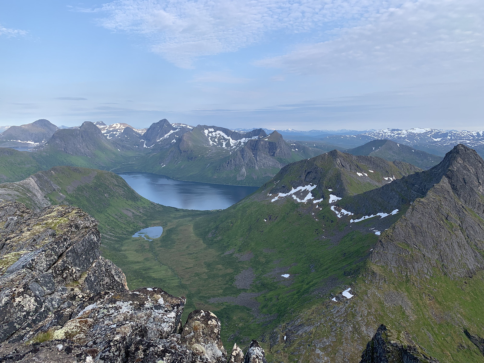
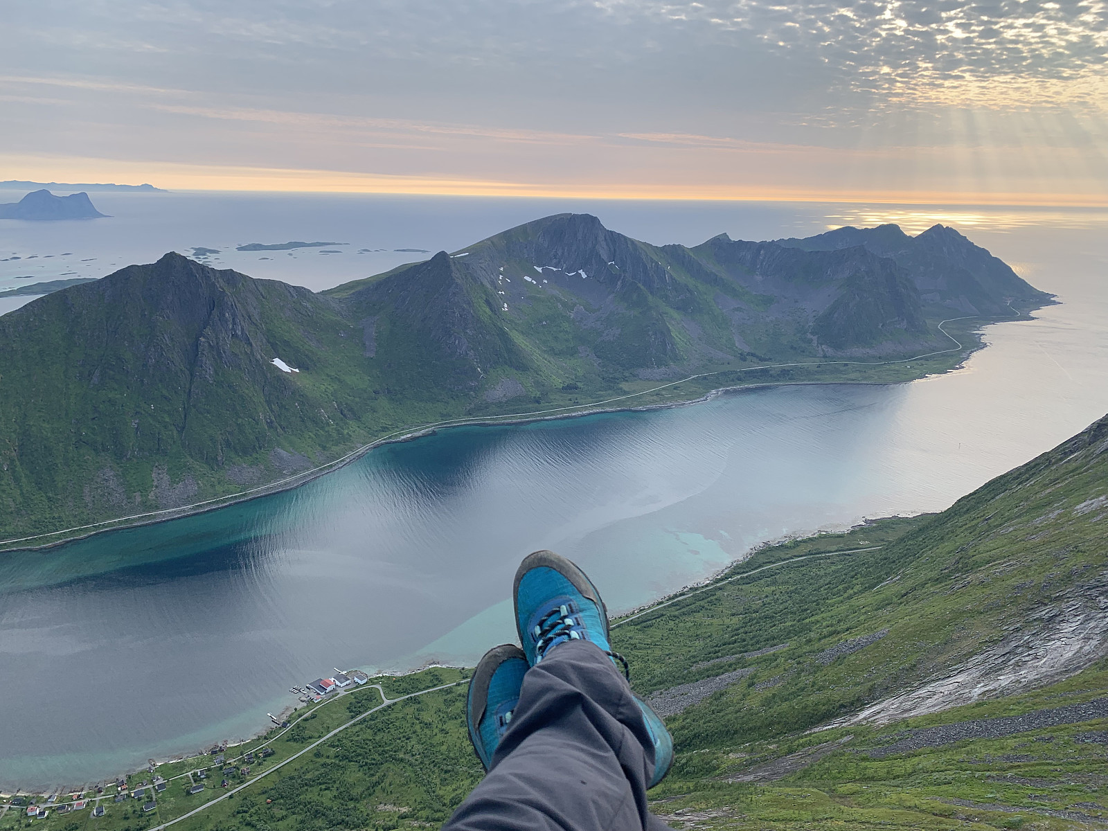
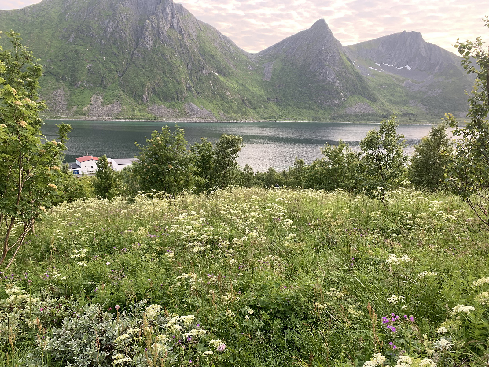
We started off heading up through uneven terrain covered in bushes again. We followed a green field up the mountain, which was a steady 30-40 degrees steep the whole way. Loads of bushes and rocks made for difficult walking but we gained elevation quickly and were soon out of the tree line. Here we found remenants of a faint trail which came and went as we headed up the final 350m of elevation. The terrain became easier, soft moss and blueberry bushes with some small scrambling at the top. We headed for the left top with the big varde first, then down and scrambled to reach the highest point on the right. What a view!!! It exploded in all directions, panoramic from hamn and all of south senja, over Oksehorner and towards mefjordvær. We took this in for a long time before starting the journey back down to our tent.
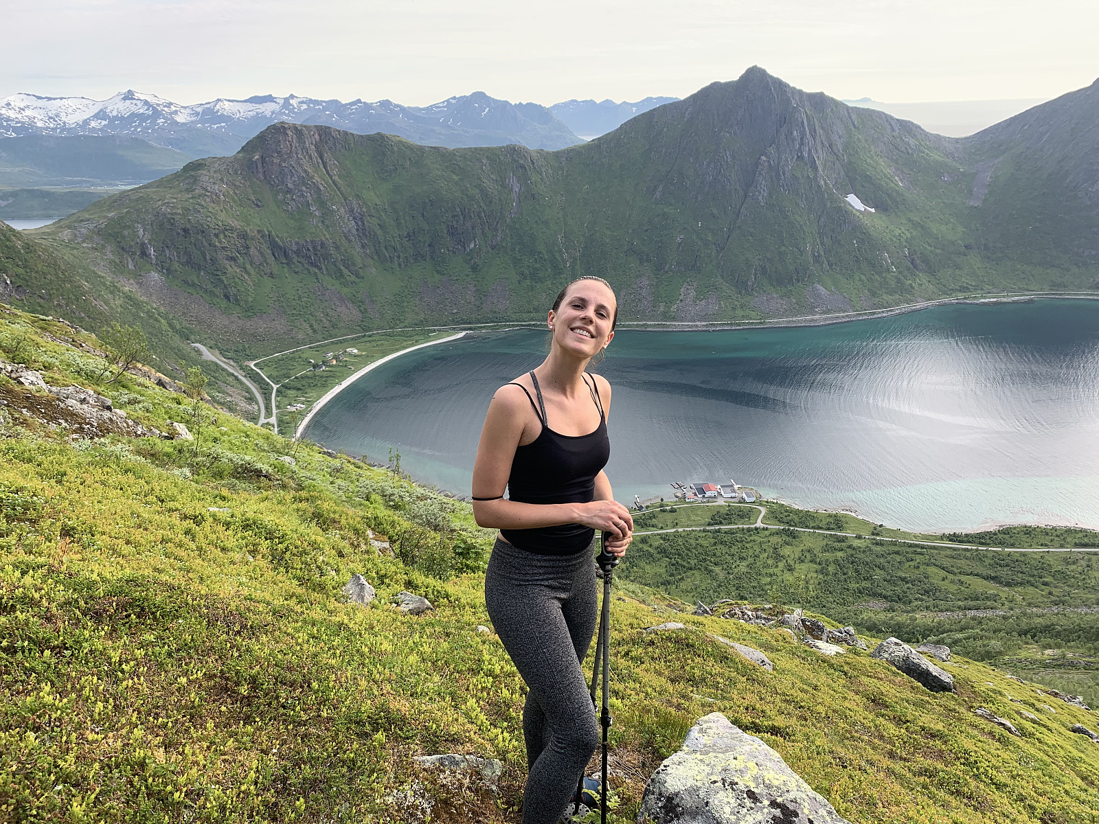
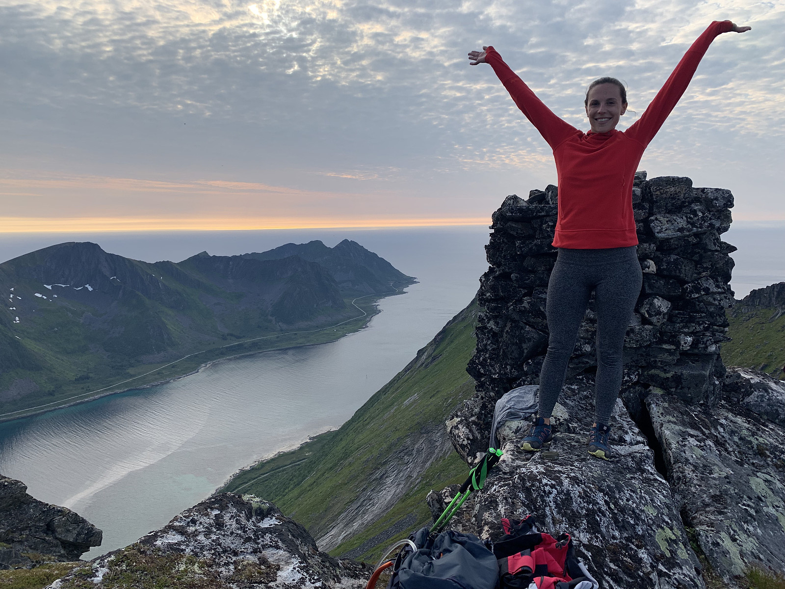
I am really not a fan of walking off trail on this kind of terrain but the views definitely made the trip worth it. Amazing to be completely alone on the mountain with views this stunning in July. Props to Lani for tackling this hike like a total champ!!!


Kommentarer
Bush bashing
Skrevet av hmsv1 10.07.2019 17:58You weren't kidding about those bushes going up to your boobs! Good work ;-)