
Hjortåsen on Strøno (07.07.2019)

Geschrieben von HHauser (Helwig Hauser)

| Startpunkt | Hjortåsen parking north (50m) |
|---|---|
| Endpunkt | Hjortåsen parking north (50m) |
| Tourcharakter | Bergtour |
| Tourlänge | 2h 00min |
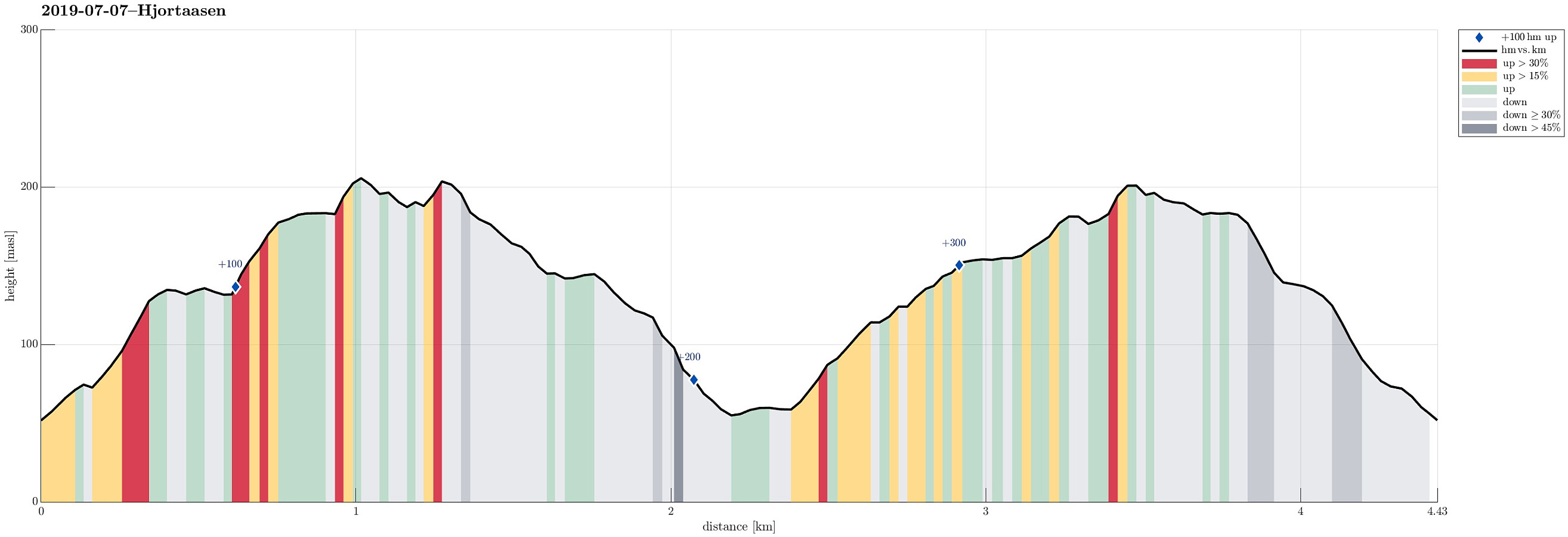
| Entfernung | 4,4km |
| Höhenmeter | 368m |
| GPS |
|
| Besteigungen | Hjortåsen Nord (208m) | 07.07.2019 |
|---|---|---|
| Hjortåsen Sør (207m) | 07.07.2019 | |
| Besuche anderer PBE | Hjortåsen nord parkeringslomme (50m) | 07.07.2019 |

Trip Summary
We took the car to the south of Bergen, driving then road 160 from Ulven to Strøno. After crossing the narrow bridge to Strøno and driving up just a little to the T-junction, where the streets to Nordstrøno/Sørstrøno split, we turned right (towards Nordstrøno). Only a couple of meters before getting close to the first houses on the north-side of the island, we stopped next to the road and started hiking, following a simple forest road that starts from the street there in southwestern direction. At about 80mosl, where the forest road ends, we then continued on a well-visible path (further up in southern direction). At about 140mosl, we spotted Såta nearby (in northeastern direction) and thought that we may have a nice view from up there. It took only a few minutes to get over (no trail). Unfortunately, all the trees are making difficult to catch any open view from around there. From Såta, we then proceeded further towards Hjortåsen (parallel to the trail). At about 185mosl, we then reconnected with the trail. We then first visited the northeastern top of Hjortåsen (the one with the mast on it), before we then walked over to the southwestern top of Hjortåsen. According to some other Peakbook reports, the southwestern top of Hjortåsen is actually a little higher (almost the same, though). From Hjortåsen, we followed a nice trail into southwestern direction, descending towards Gjelet, where a path crosses over from Sørstrøno to Nordstrøno. We then walked down Gjelet (in northwestern direction) until we came very close to the houses down there. Instead actually stepping out onto the street, we chose an opportunity to turn right (into northeastern direction) and proceed through the forest instead. Only with some very vague ideas of a trail (much more deer tracks than a trail!), we ascended more or less in a straight line in northeastern direction (in the southeast of Lauvåsen). At about 110mosl, where several directions seemed possible, we chose to continue in northern direction to reach a nice saddle just east of Lauvåsen. From there, continuing over some minor heights, we connected back to the trail that we earlier had taken down from Hjortåsen. Once back on the trail, we hiked back up Hjortåsen (once again). From Hjortåsen, we then followed the trail back down to where we had started. All in all, given all the forest on Strøno, it was positively surprising to find (the southwestern top of) Hjortåsen as a top with some nice views (mostly towards the north/northwest).
Photos
Selected photos are available as Google photo album.
Useful Resources
See also the related FB-page Hiking around Bergen, Norway.
Petter Bjørstad has a useful page about Hjortåsen and also web page WestCoastPeaks.com provides useful information about Hjortåsen.
Web page UT.no from the Norwegian Trekking Association recommends a hiking round on Strøno.


Benutzerkommentare