
Storlifjellet and Husafjellet - Roundtrip (06.07.2019)

Skrevet av hbar (Harald Barsnes)

| Startsted | Gamlesæter (82moh) |
|---|---|
| Sluttsted | Gamlesæter (82moh) |
| Turtype | Fjelltur |
| Turlengde | 3t 07min |
| Distanse | 9,9km |
| Høydemeter | 654m |
| GPS |
|
| Bestigninger | Husafjellet (552moh) | 06.07.2019 |
|---|---|---|
| Storlifjellet (565moh) | 06.07.2019 | |
| Andre besøkte PBE'er | Eiterdalen (388moh) | 06.07.2019 |
| Eiterdalen bro (379moh) | 06.07.2019 | |
| Svartholet (215moh) | 06.07.2019 |
Storlifjellet and Husafjellet - Roundtrip


Today's hike had two goals. The primary being to ascend Storlifjellet from Gamlesæter, and the secondary, if time permitted, to turn the hike into a roundtrip via Eiterdalen. The latter inspired by arntfla (Arnt Flatmo)'s external trip report.
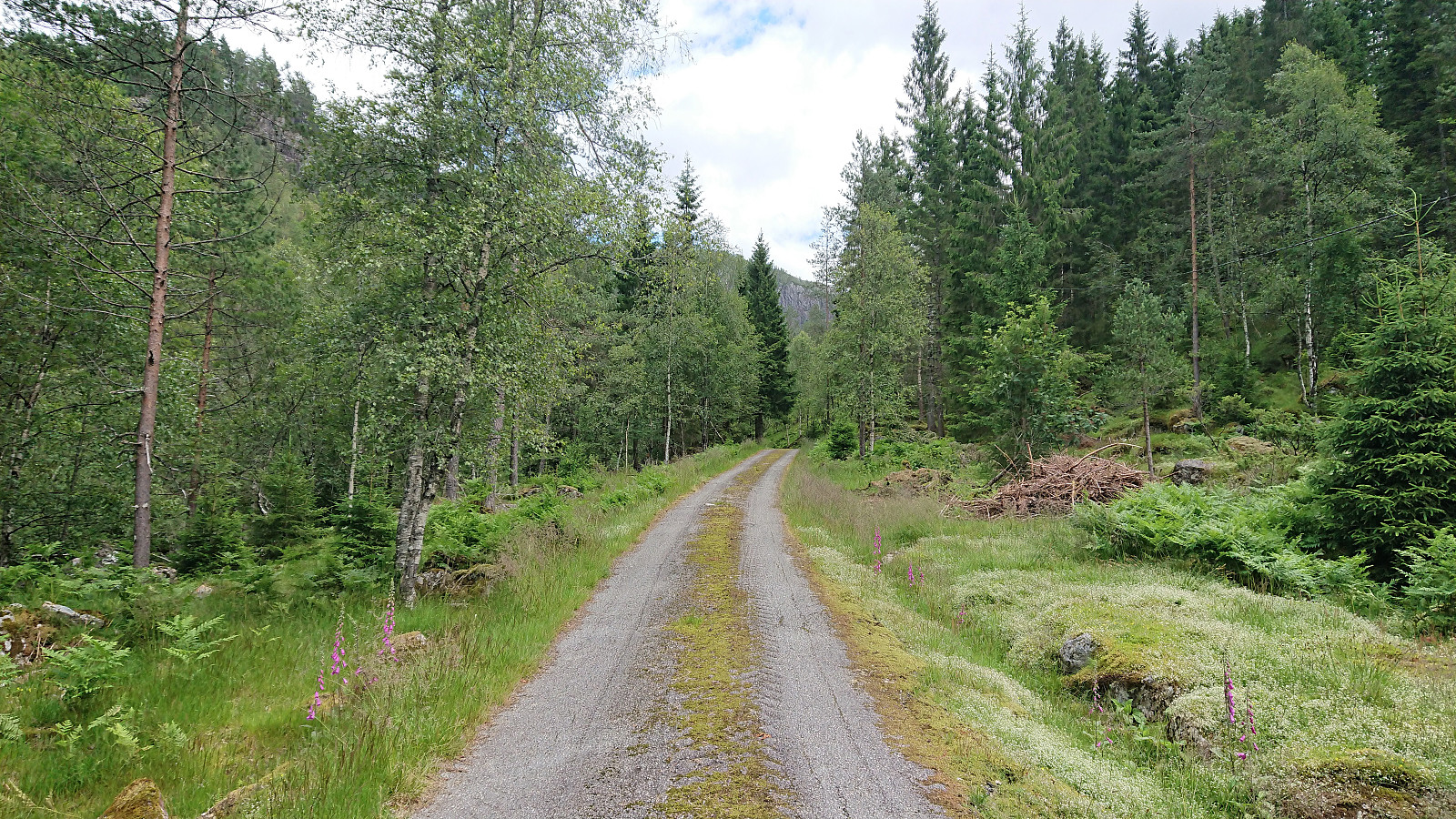
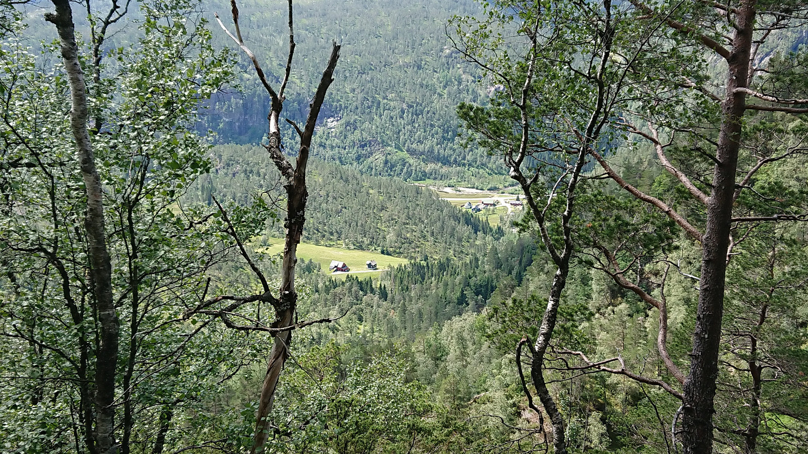
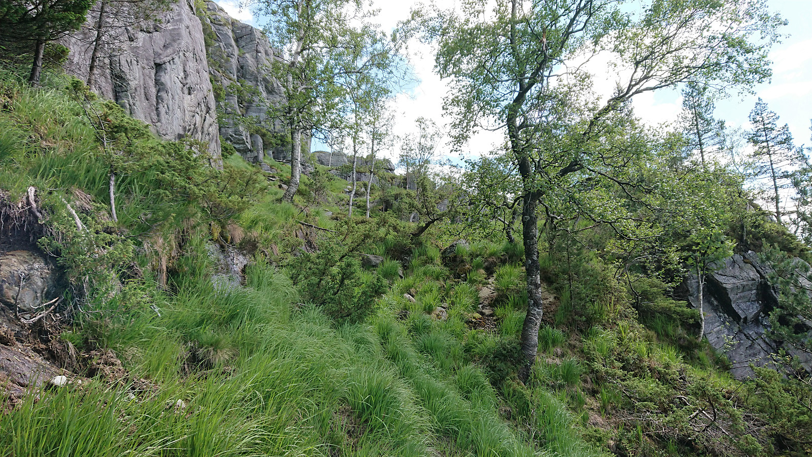
Started by taking the bus to Gamlesæter (see bus tip below) and followed the gravel road up to Nymark. From there I continuing along the tractor road until it came to an end. After reading the previous PB-reports for Storlifjellet, it seemed clear that the terrain from this point onward required that a fairly specific route was followed. So in order to not waste lots of time trying to find my own alternative route, I more or less followed in knutsverre (Knut S. Andersen)'s footsteps (although I guess GeirL (Geir Lie) should get the credit for providing the first GPS tracks along the same route.).
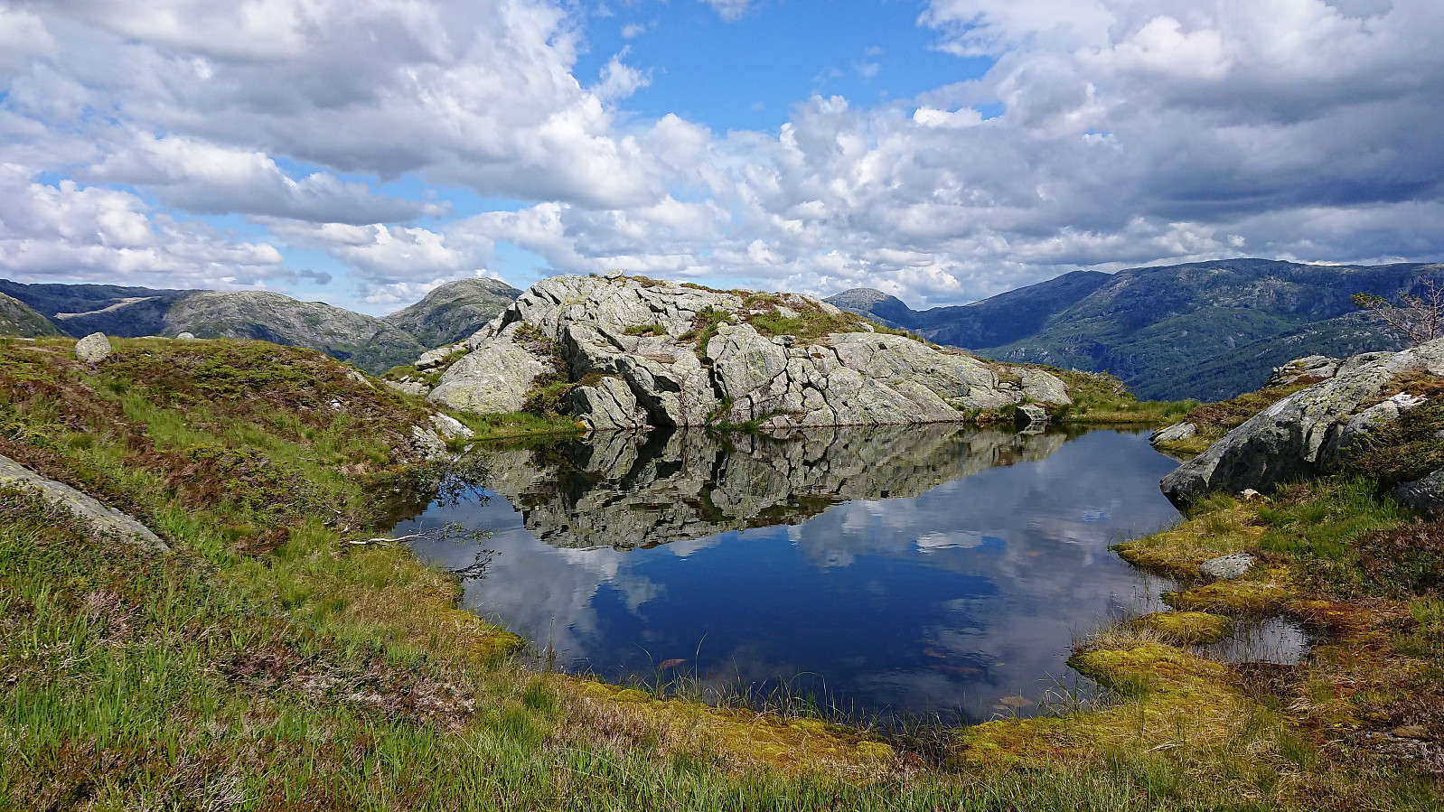
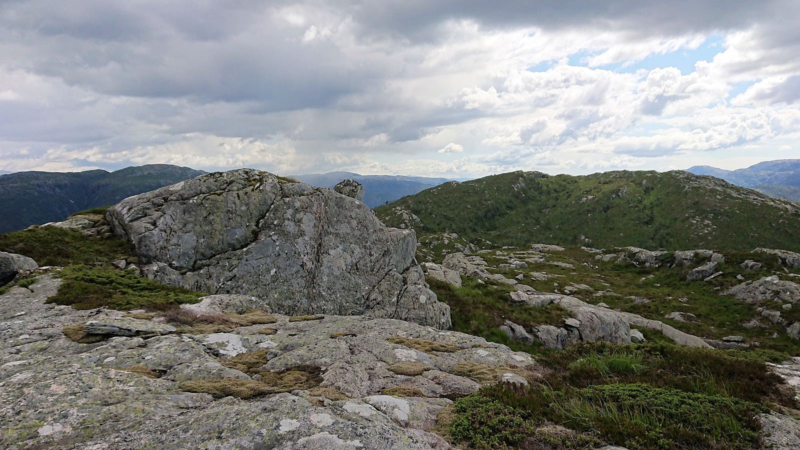
Combined with the numerous deer tracks also showing the way, this made what would probably otherwise have been a more challenging ascent into a relatively straightforward one, and I arrived at the summit after around an hour where I could enjoy excellent views in all directions. After a short break, I figured that I would most likely have the time to complete the planned roundtrip and make it back to Gamlesæter in time for the bus back to Bergen.
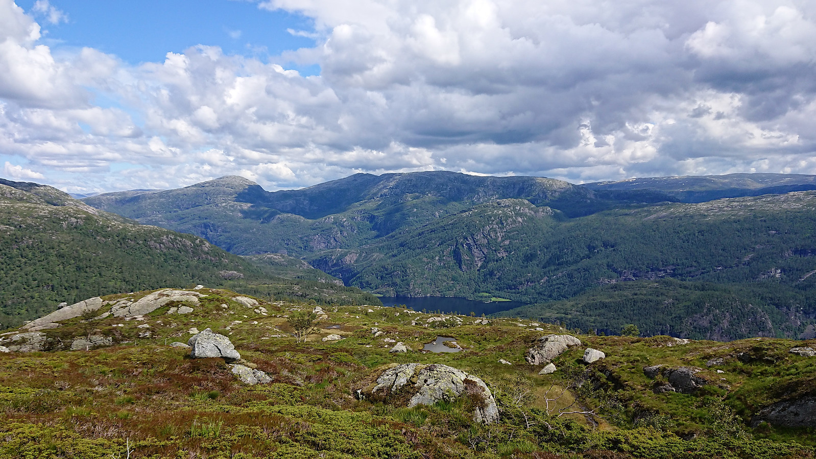
The idea was to head directly towards Husafjellet and from there follow the ridge down to Eiterdalen. The first part was fairly straightforward and did not present any real difficulties. As an added bonus, just before reaching the summit of Husafjellet I startled a deer, but it ran away before I had the time to take a picture. Nice views from Husafjellet as well, but not as good as Storlifjellet. But the fact that the weather for a short period turned grayer did not help either I guess.
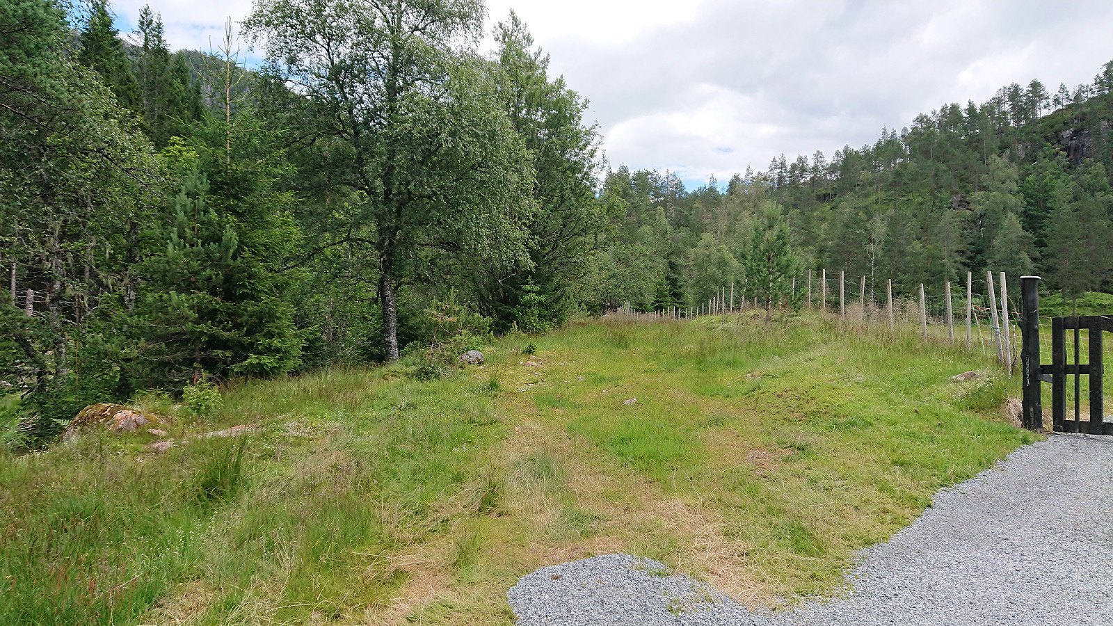
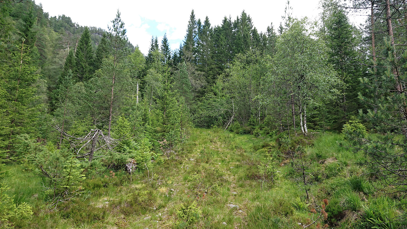
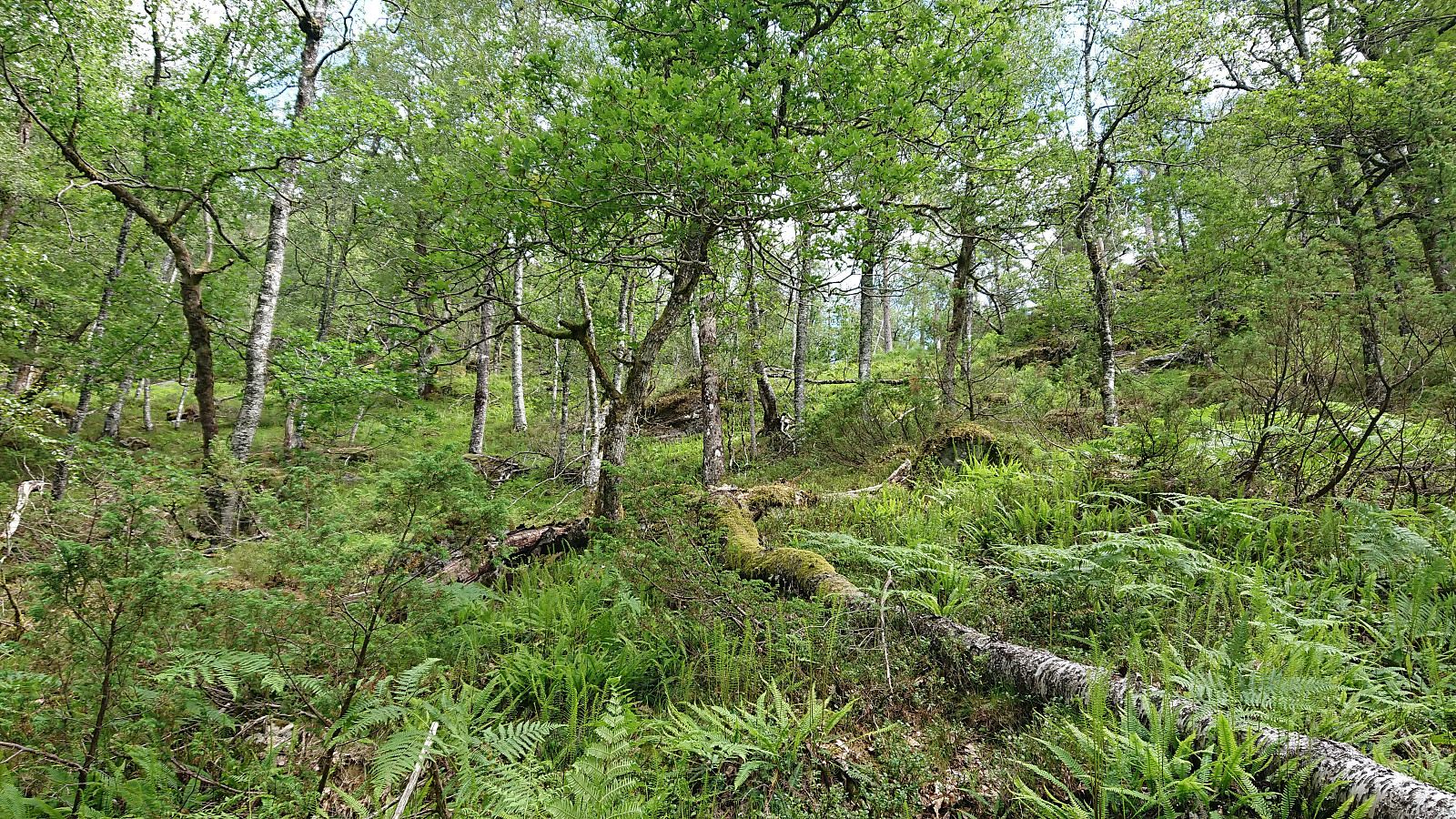
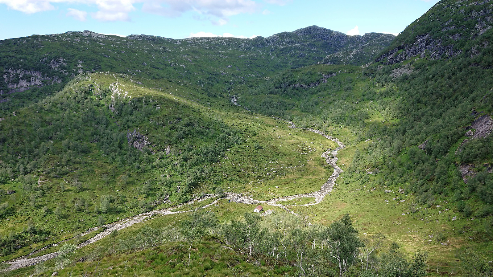
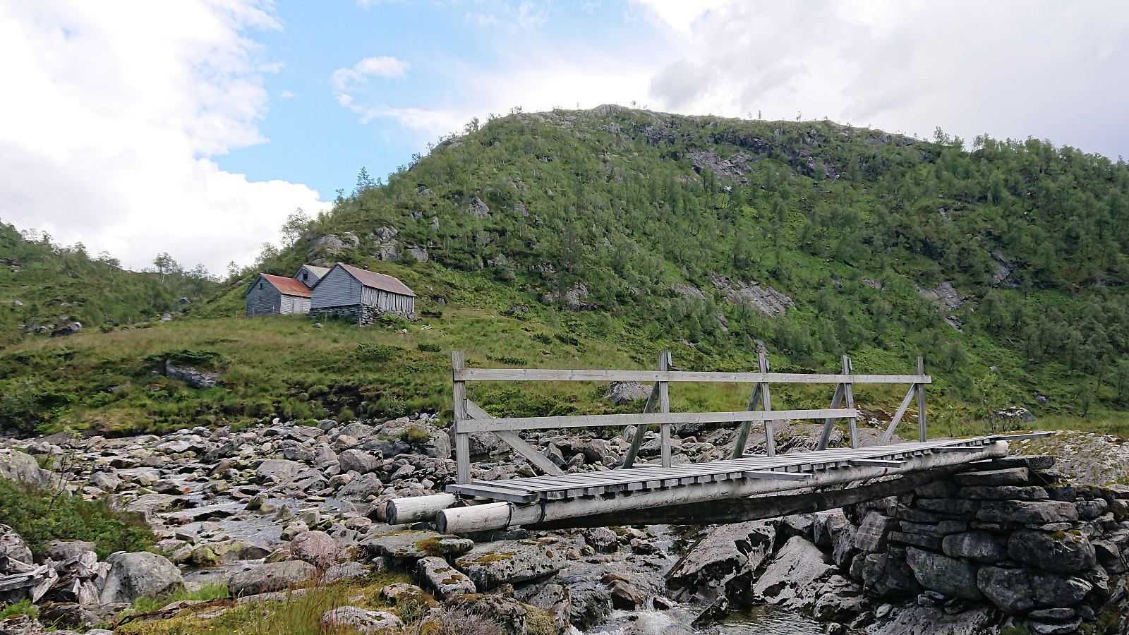
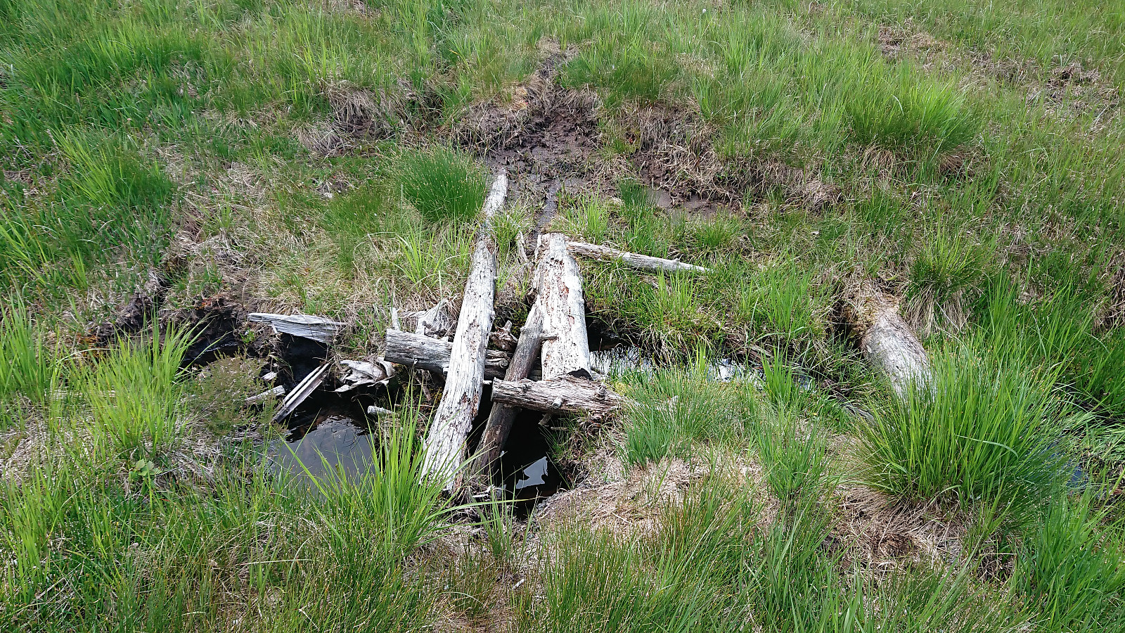
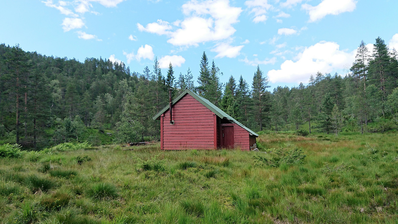
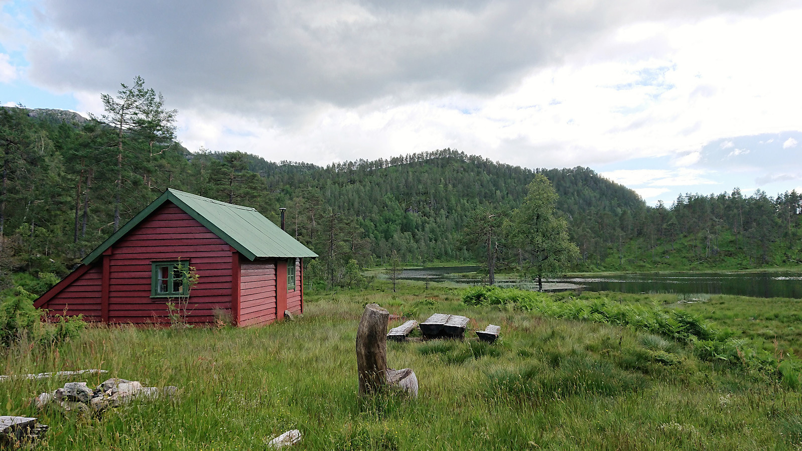
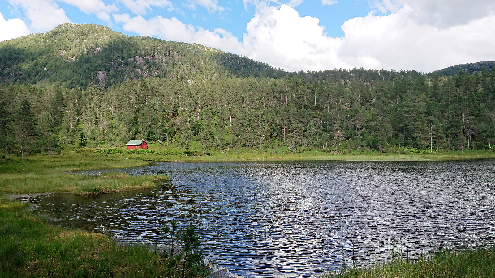
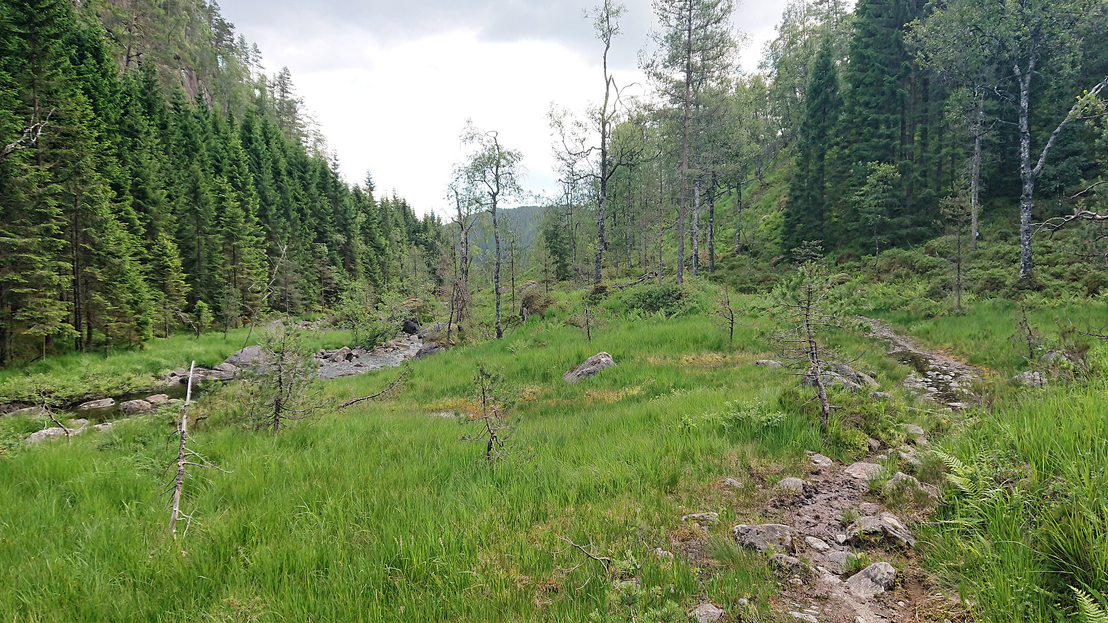
Following the ridge down to Eiterdalen was also easy, although there were some steep areas to avoid. It is probably also possible to find a more direct route than the one I ended up using. After crossing the bridge south of the two cabins, I struggled a bit to locate the trail indicated on the map. But after starting to walk in the direction where the trail ought to be, it did not take long before a weak trail appeared. From there on the trail was overall easy to follow, with some notable exceptions when crossing open fields or wet areas where the trail pretty much disappeared.
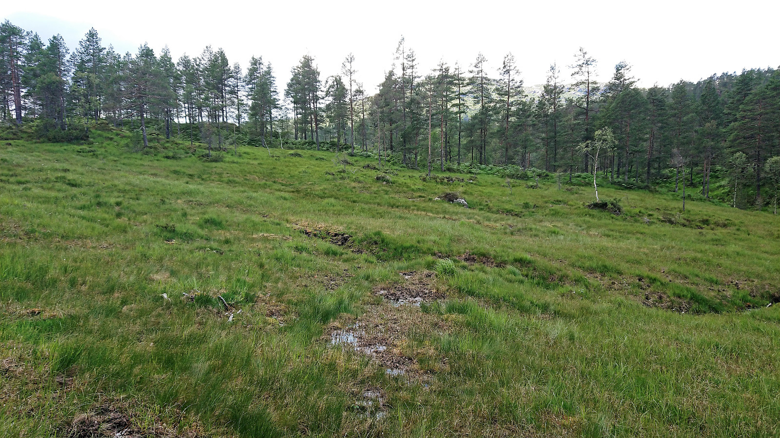
I soon arrived at Svartholet, but after crossing the river (not on a bridge this time, but stepping from stone to stone) I again had a minor struggle to relocate the trail. But from that point onwards the trail was generally of good quality and easy to follow, and it did not take long before I found myself back at the main road, of which I only had to walk alongside for about 100 meters before reaching the bus stop. Still with ten minutes to spare for the planned bus back to Bergen.
In summary, an interesting hike that can very much be recommended to those wanting to visit Storlifjellet and would like to make it into a roundtrip, with the added bonus of having a much nicer descent compared to simply returning to Gamlesæter.
Bonus tip: If hiking via public transport to this part of Lindås be sure to check out the arrangement with Fjordekspressen (information only in Norwegian), which makes the bus ride both much cheaper (than the usual prices on the express buses) and significantly faster compared to the normal bus routes! :)
| Starttidspunkt | 06.07.2019 13:45 (UTC+01:00 ST) |
| Sluttidspunkt | 06.07.2019 16:53 (UTC+01:00 ST) |
| Totaltid | 3t 07min |
| Bevegelsestid | 2t 57min |
| Pausetid | 0t 10min |
| Snittfart totalt | 3,2km/t |
| Snittfart bevegelsestid | 3,3km/t |
| Distanse | 9,9km |
| Høydemeter | 653m |


Kommentarer