
Øyanovi, Storafjellet and Gløvret (Storfossen to Vaksdal) (27.06.2019)

Written by hbar (Harald Barsnes)

| Start point | Storfossen/Storfossdammen (416m) |
|---|---|
| Endpoint | Vaksdal (18m) |
| Characteristic | Hillwalk |
| Duration | 9h 15min |
| Distance | 21.3km |
| Vertical meters | 1,158m |
| GPS |
|
| Ascents | Bjørnafjellet (752m) | 27.06.2019 |
|---|---|---|
| Gløvret (947m) | 27.06.2019 | |
| Grånipa (806m) | 27.06.2019 | |
| Javnasåta (636m) | 27.06.2019 | |
| Møyadalsnubben (881m) | 27.06.2019 | |
| Storafjellet (950m) | 27.06.2019 | |
| Øyanovi (793m) | 27.06.2019 | |
| Visits of other PBEs | Kåresteinen (554m) | 27.06.2019 |
| Vaksdal stasjon (17m) | 27.06.2019 | |
| Øyanovi utsiktspunkt (790m) | 27.06.2019 |
Øyanovi, Storafjellet and Gløvret (Storfossen to Vaksdal)
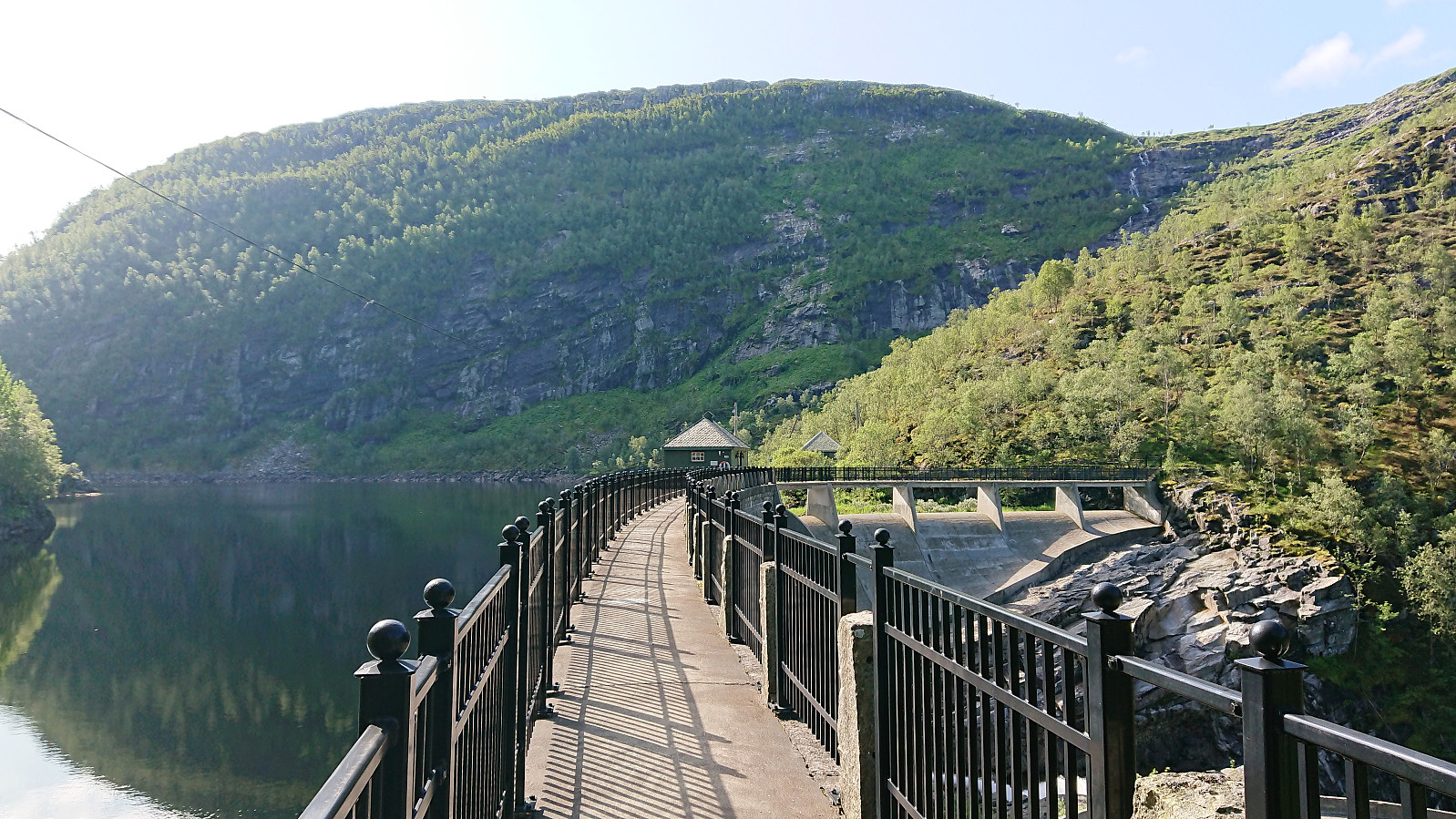
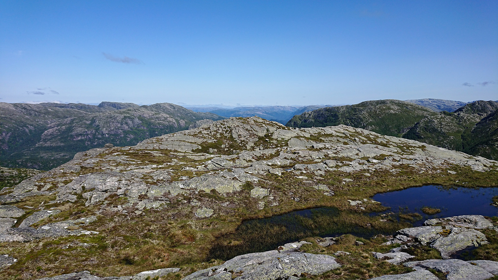
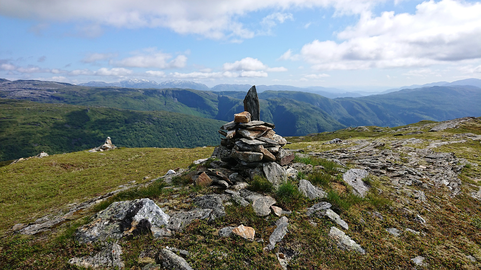
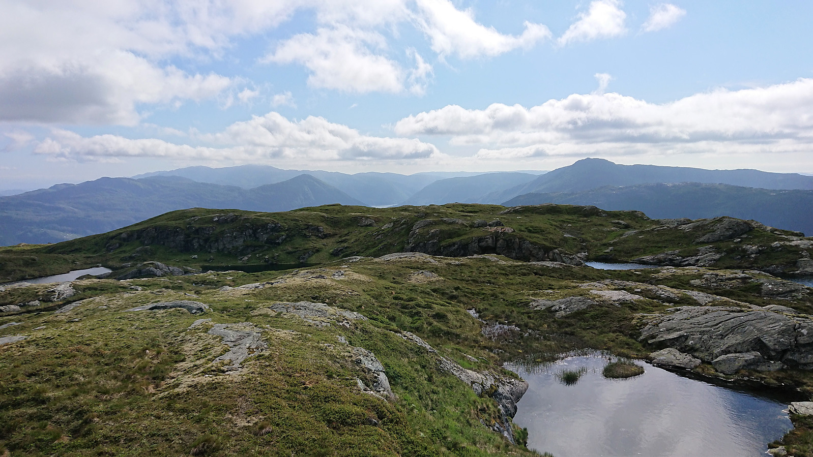
We started by taking the train to Dale and from there the connecting bus up to Storfossen/Storfossdammen. After crossing along the top of the dam, we followed the marked (but clearly not very heavily used) trail up Øyaskaret. Did not see any trails in the direction of Øyanovi, but when reaching the top of Øyaskaret it was straightforward to make progress towards the summit.
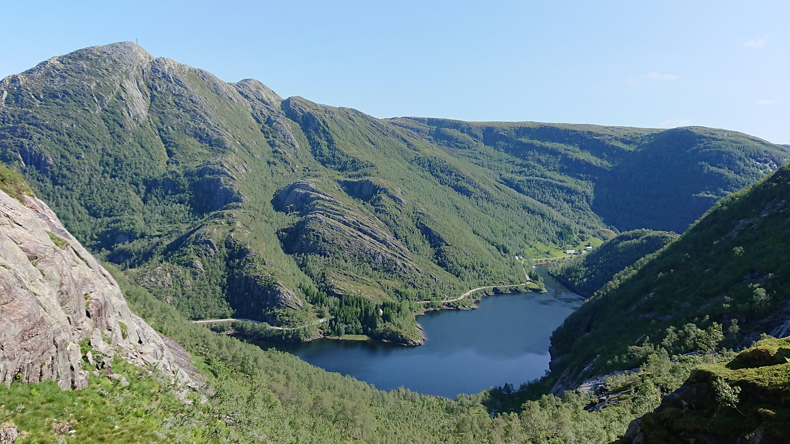
Note that the best views from Øyanovi were not obtained at the summit itself, but rather 100 meters further north (now added as a separate PB element). For our return to the marked trail, we made a shortcut heading more directly south, but it would probably have been just as fast, due to the terrain, to rather retrace our steps to where we left the trail earlier on.
We then followed the marked trail towards Møyadalsnubben, but missed our exit and had to turn back when noticing that we seemed to be heading in the direction of Blåfjellet. The mistake was easily corrected, but we did not manage to locate a trail to Møyadalsnubben, which was still easily reached, and became the location of our first lunch break.
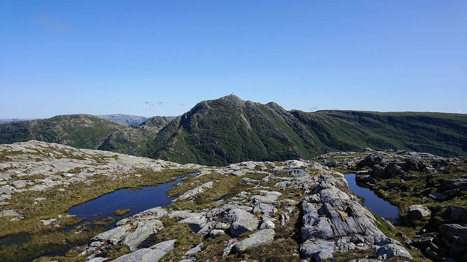
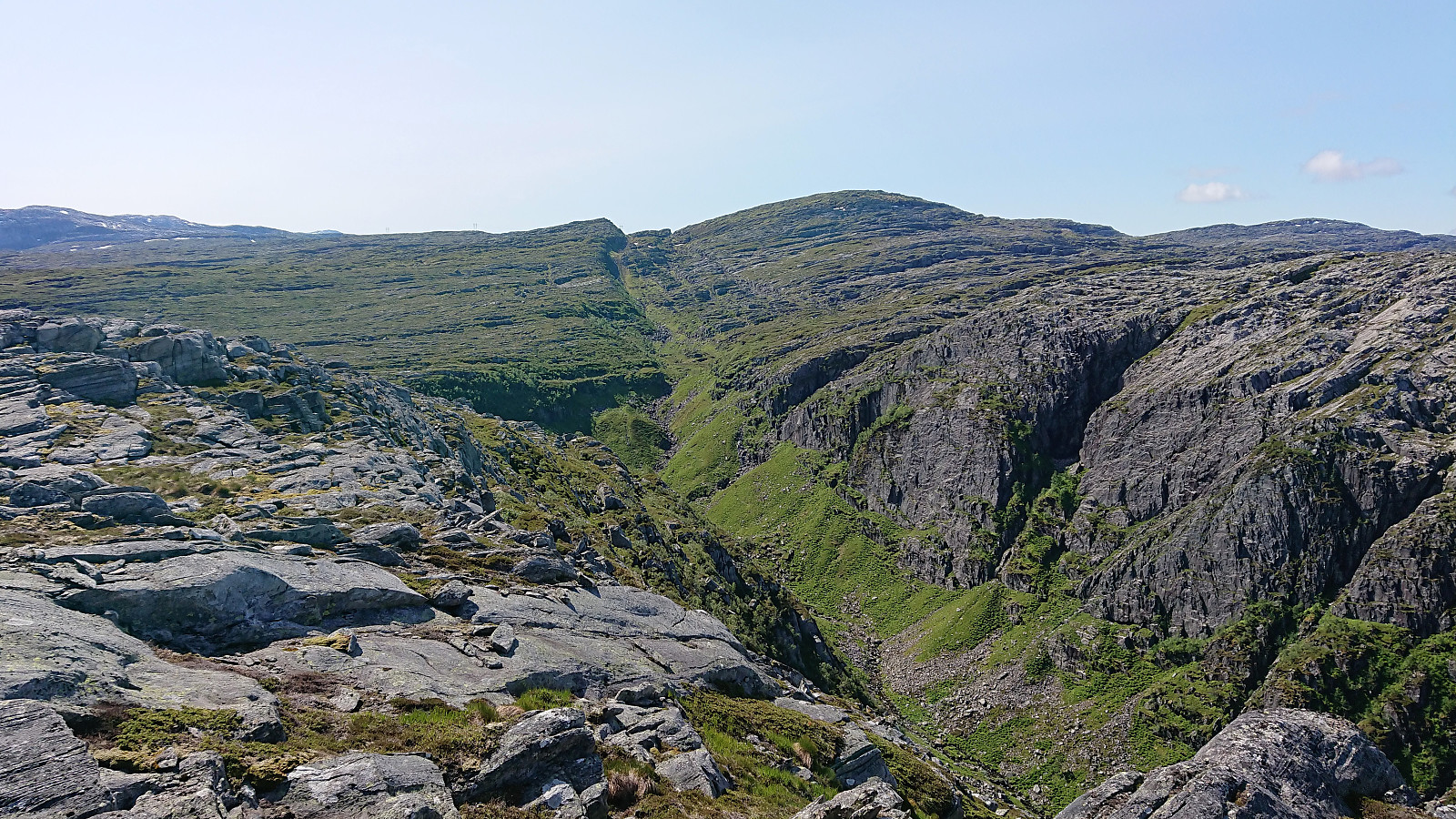
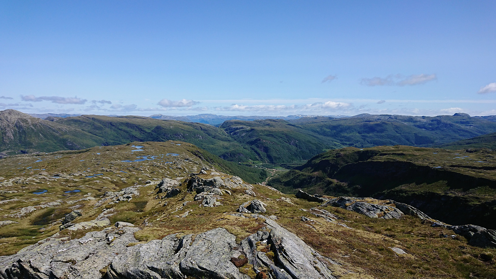
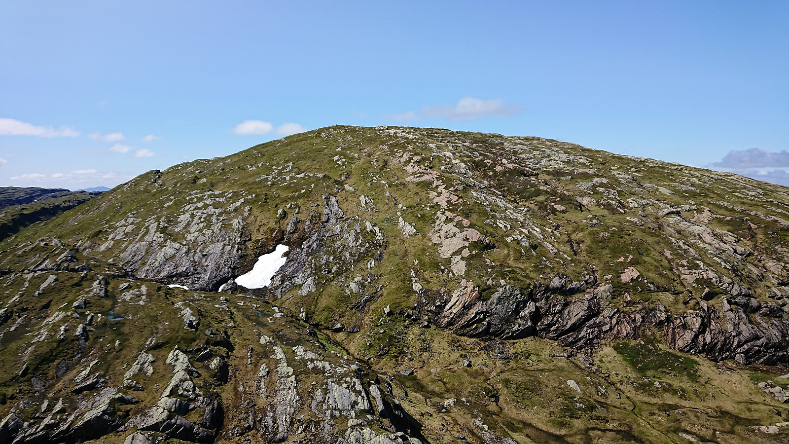
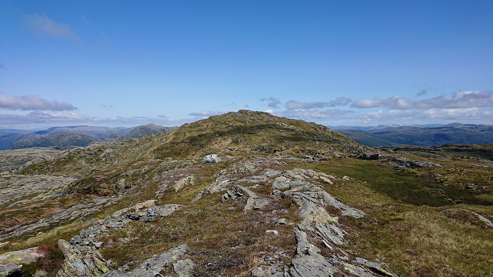
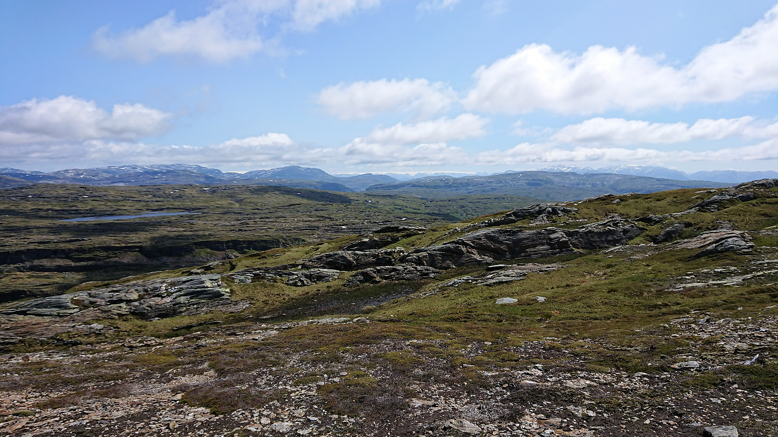
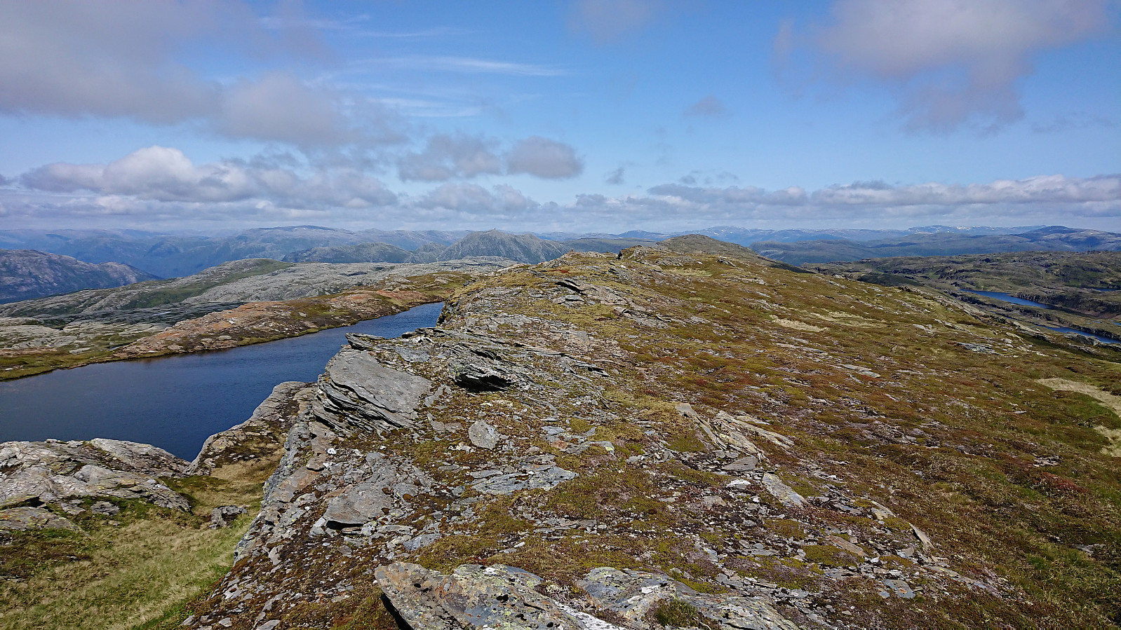
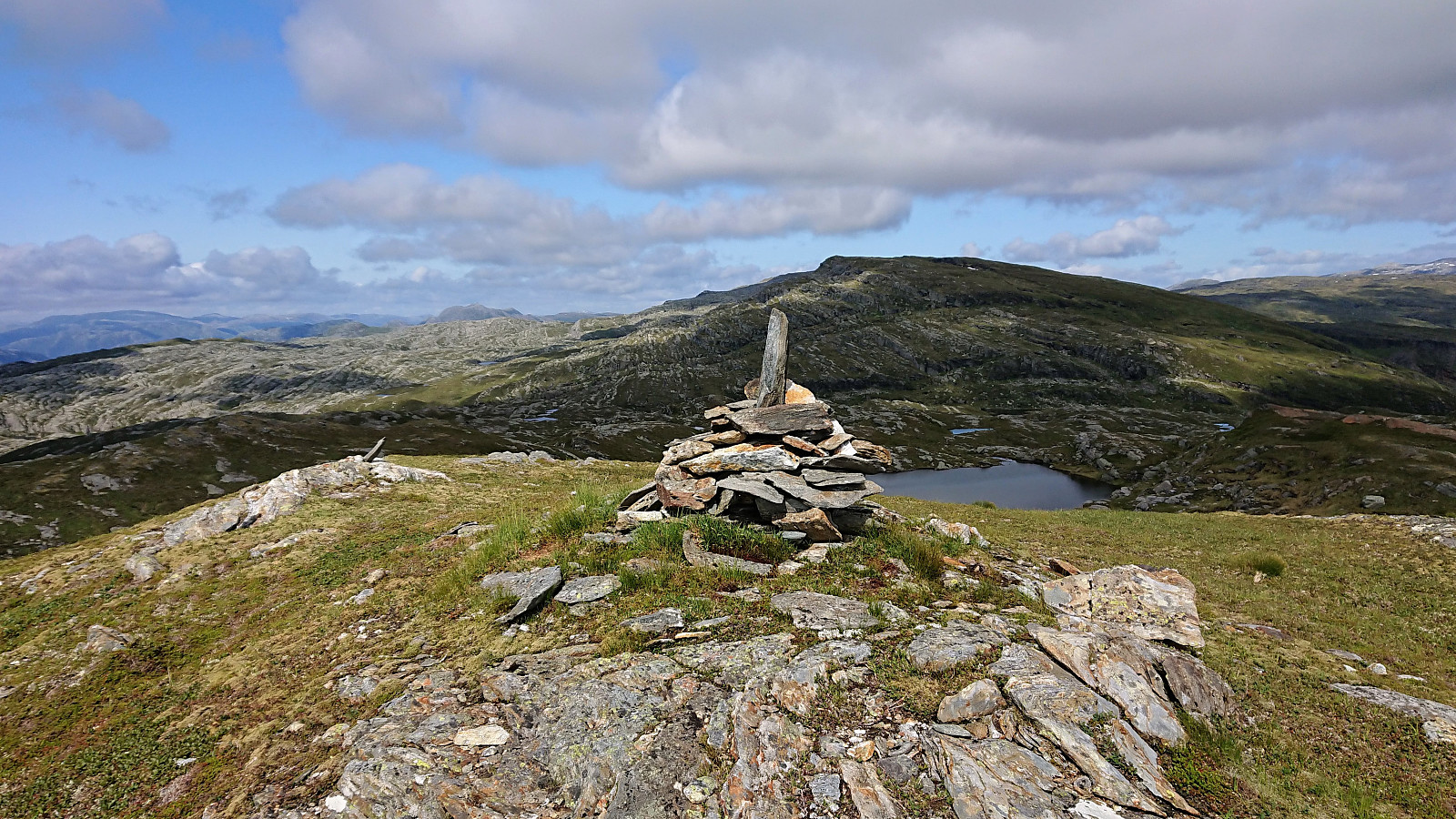
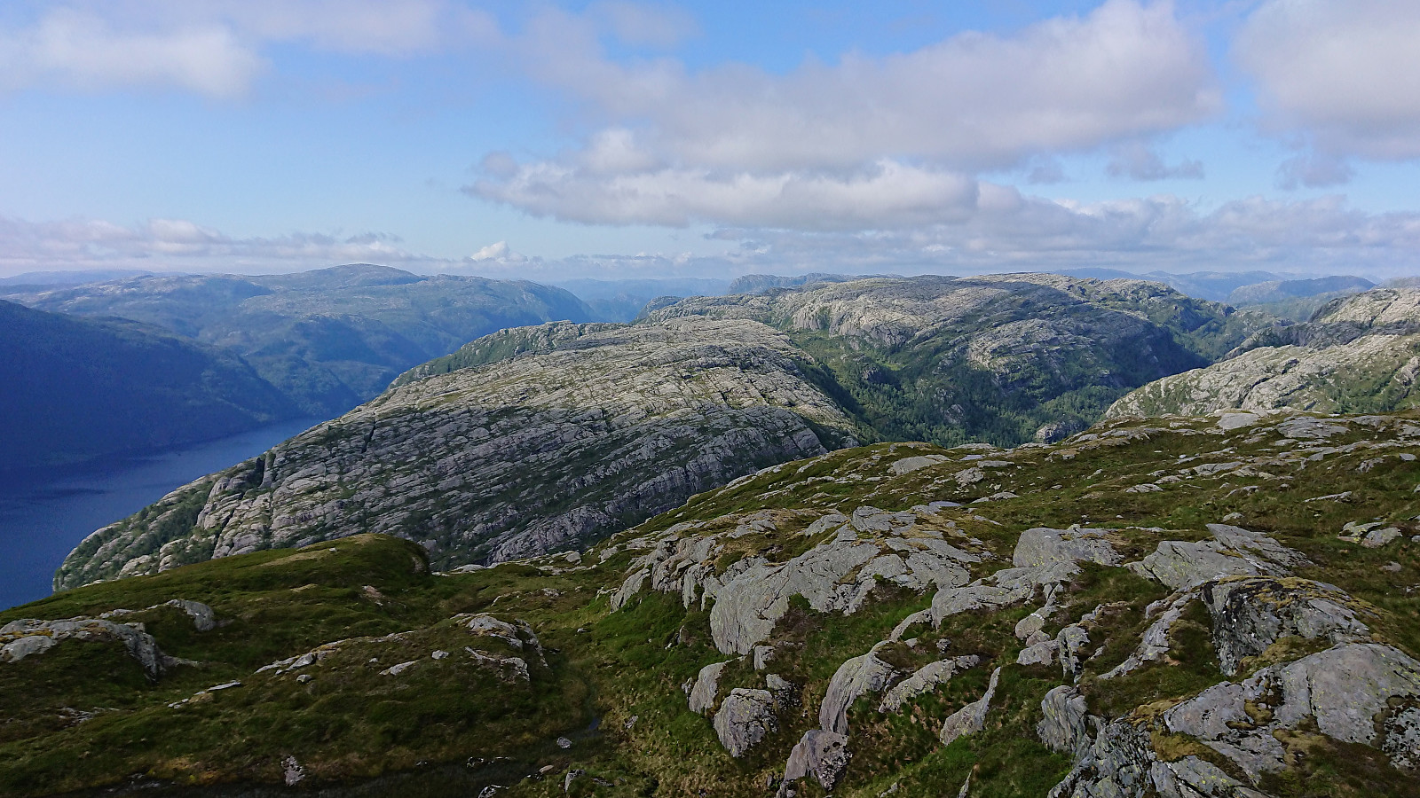
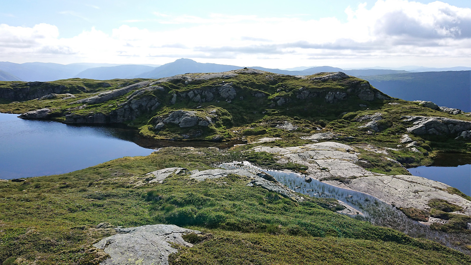
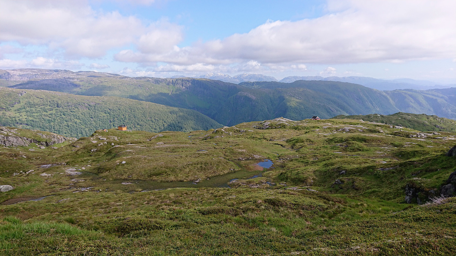
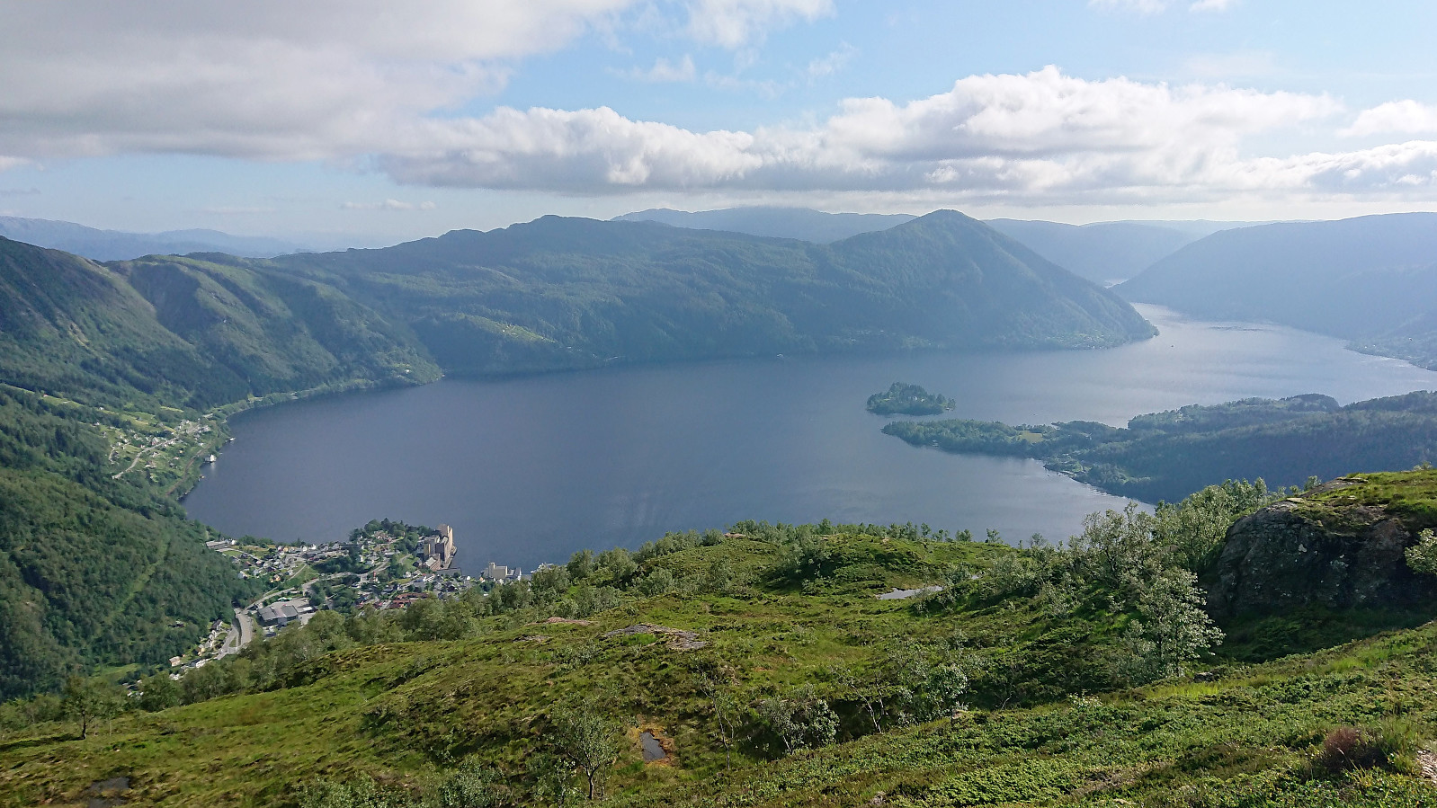
From Møyadalsnubben we continued south across the summit, where we came across a weak trail that greatly simplified the first part of the descent. Finding a suitable location to start the ascent of Storafjellet was also not too difficult, and we shortly arrived at the summit, where we could enjoy the great views and get an excellent overview southwest to Gløvret and beyond.
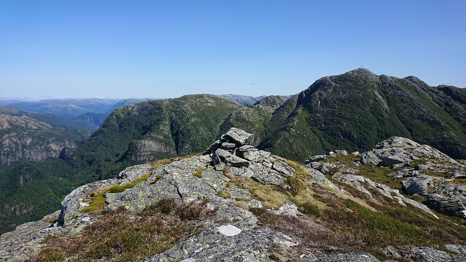
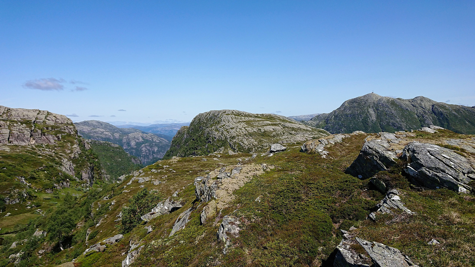
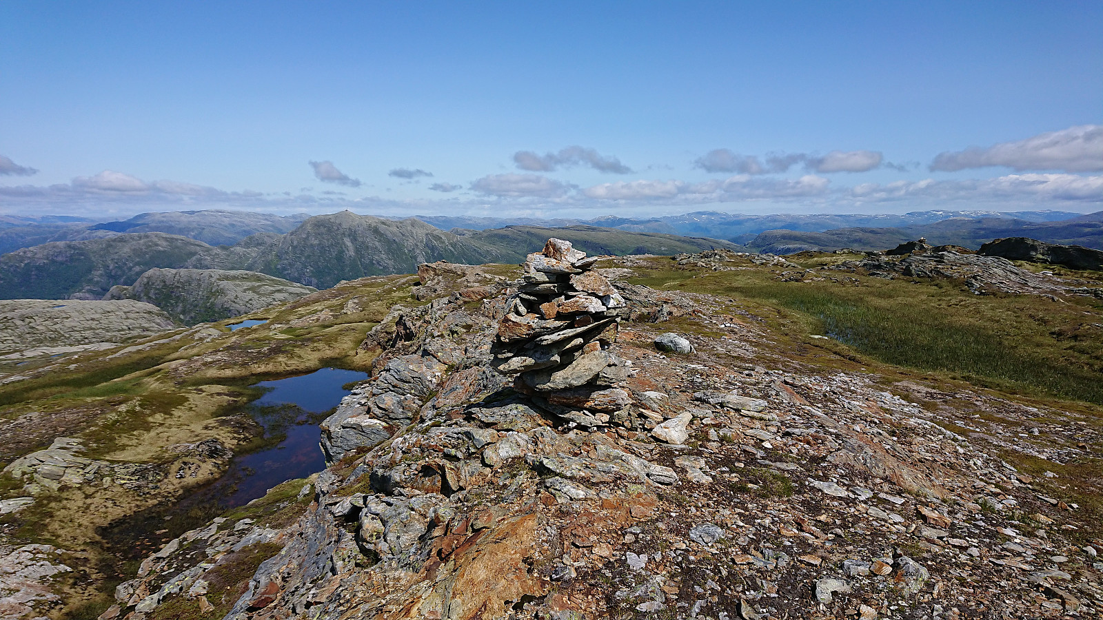
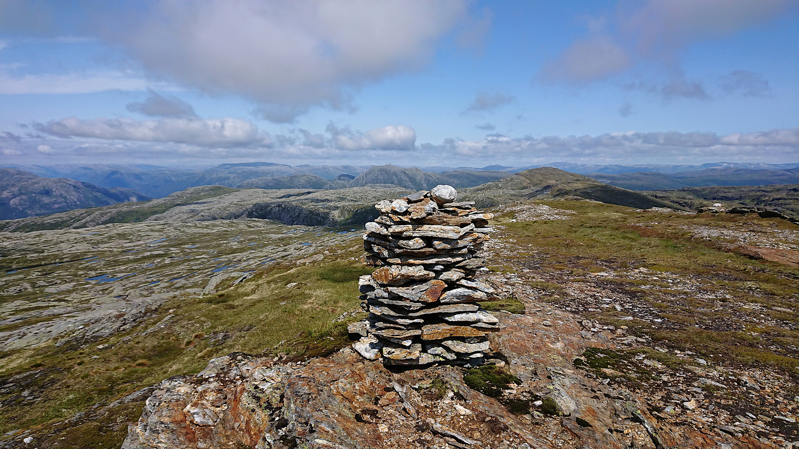
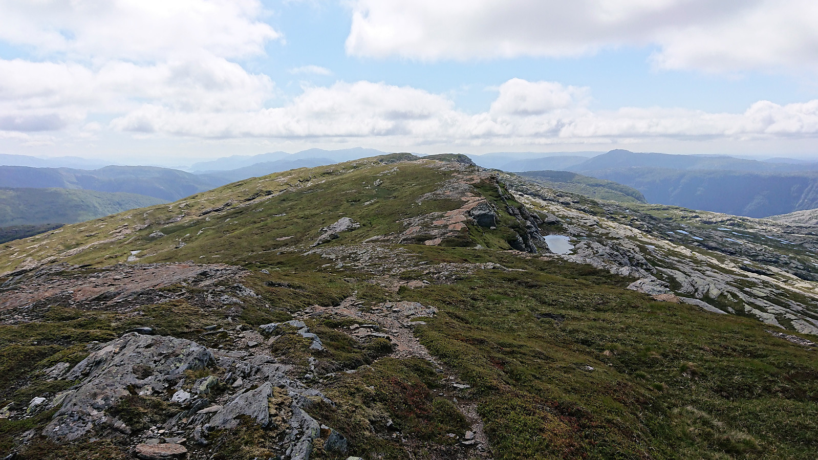
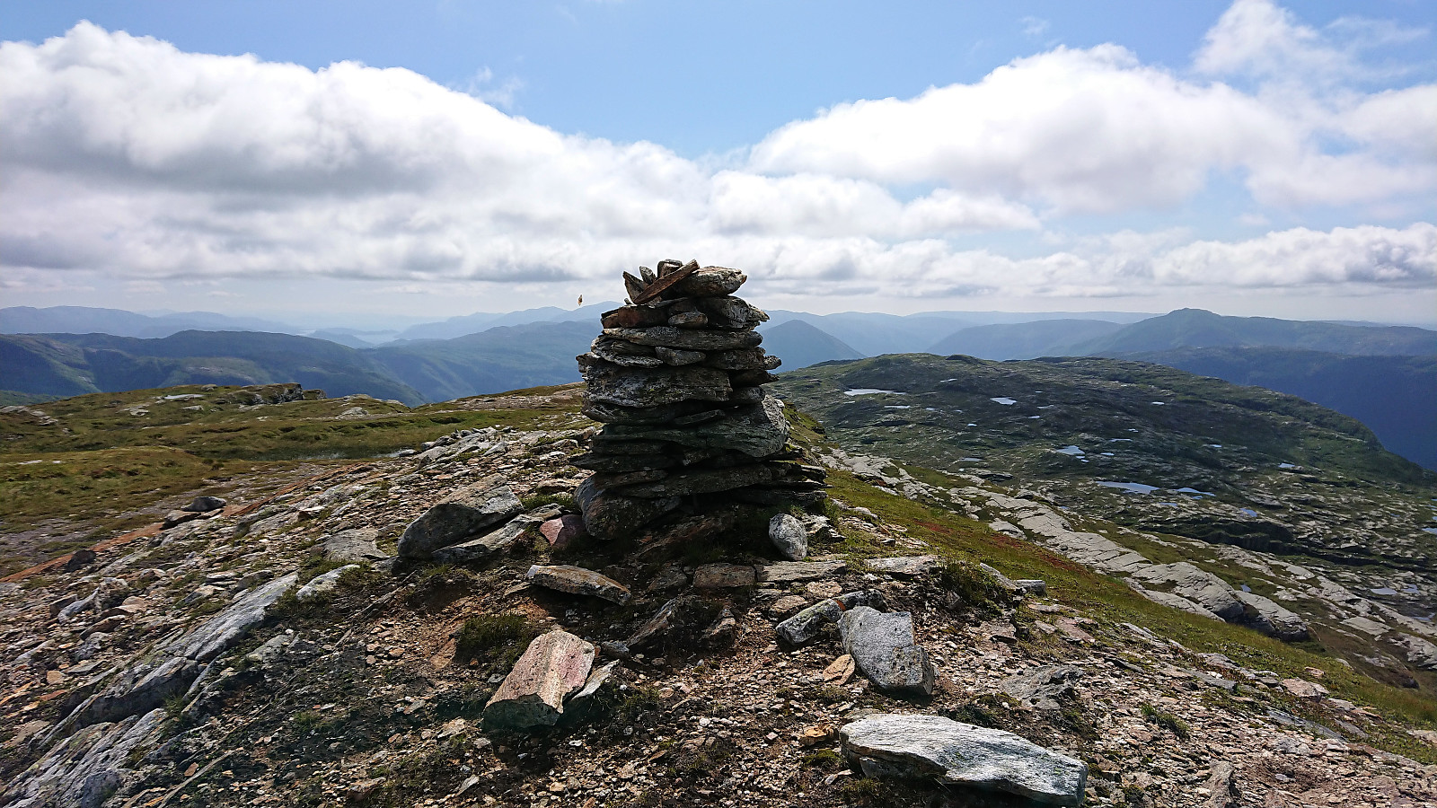
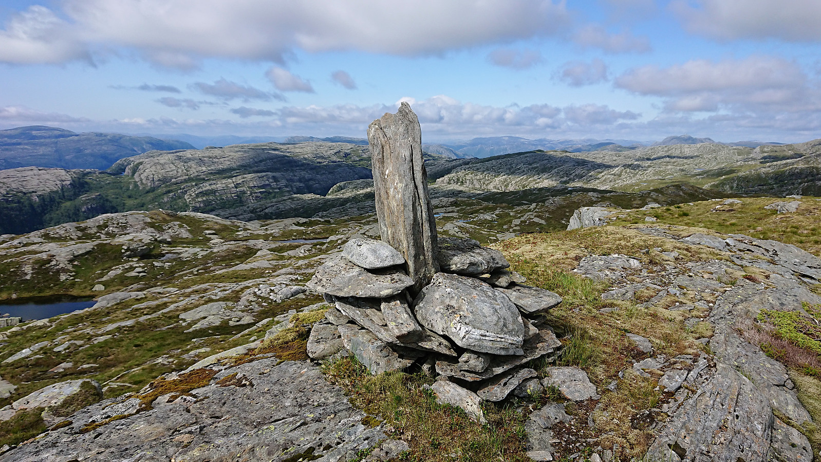
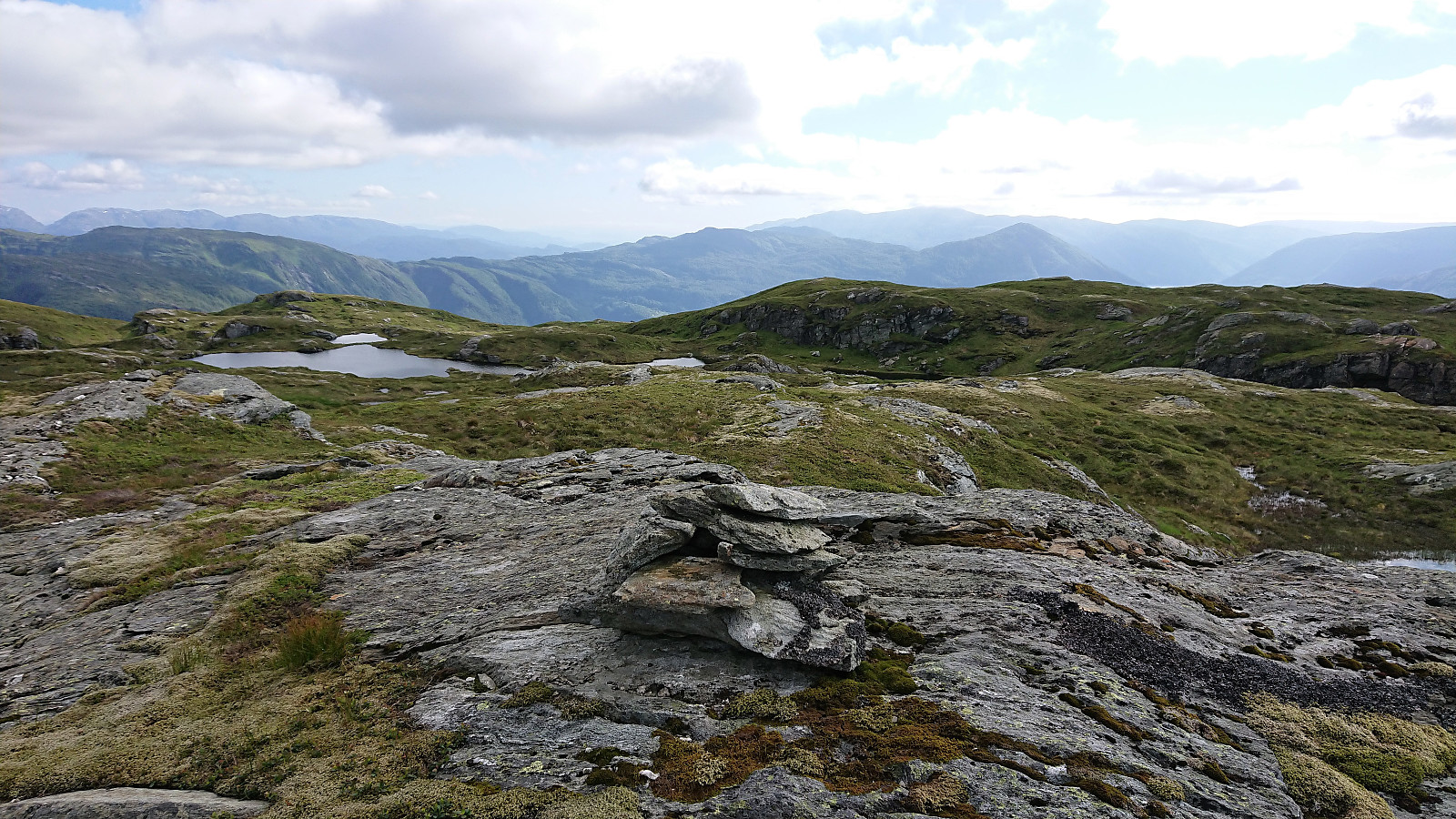
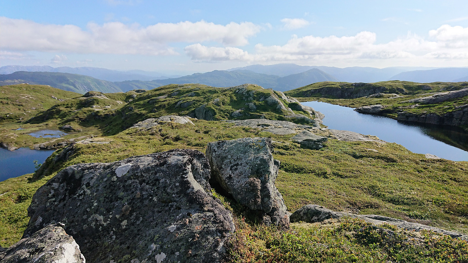
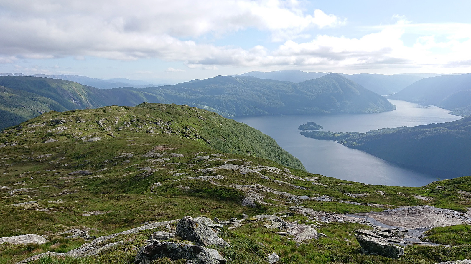
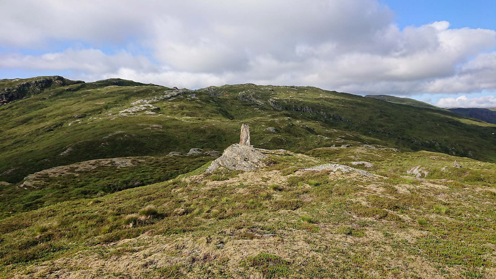
By following the ridge southwest, at times even along trails/animal tracks, it was surprisingly easy to get from Storafjellet to Gløvret, and the distance was quickly covered. Gløvret had a large cairn at hill 943, but the slightly higher summit is around 200 meters further southwest. We continued about the same distance southwest, where we came across a natural stone bench that was perfect for our second lunch break, and where we could also enjoy the excellent views, including very nice views towards Folgefonna.
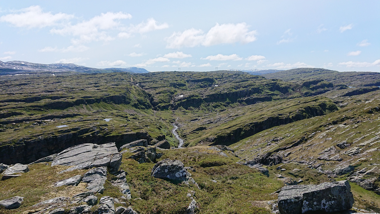
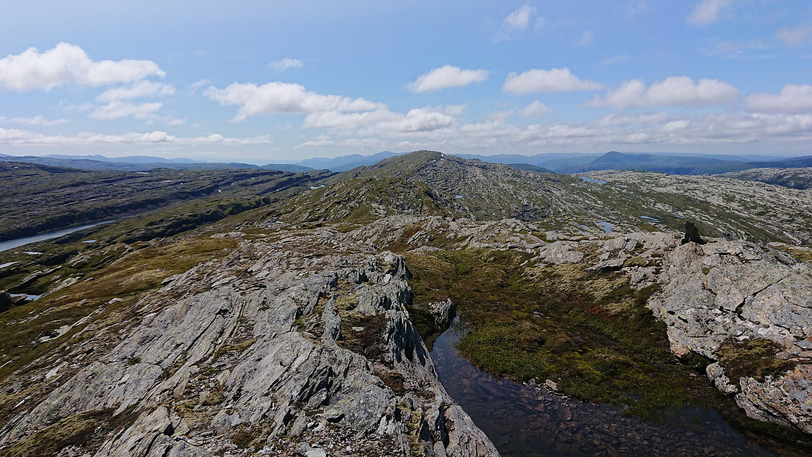
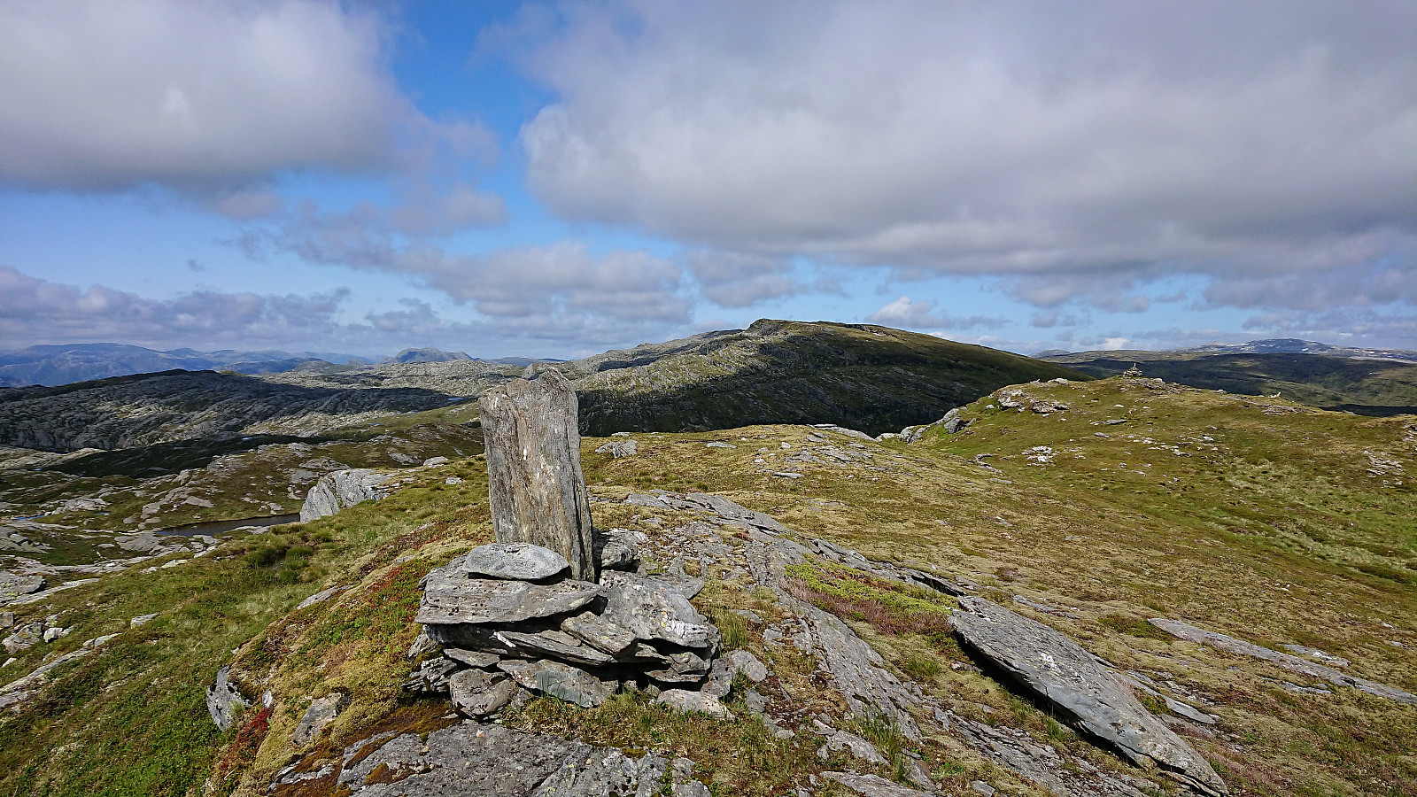
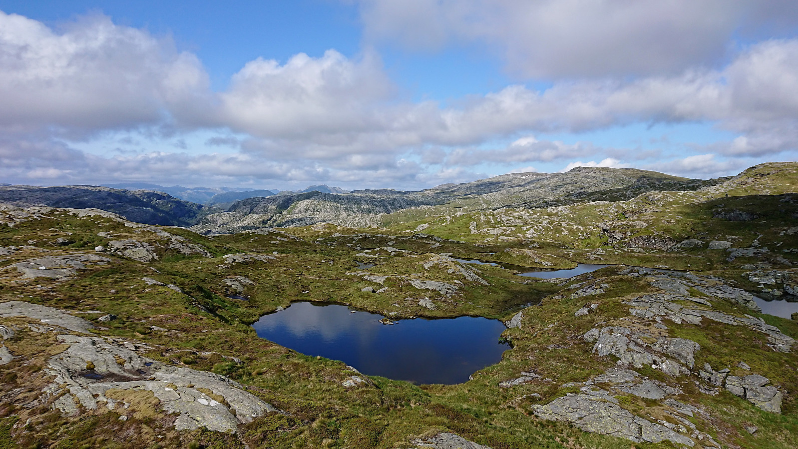
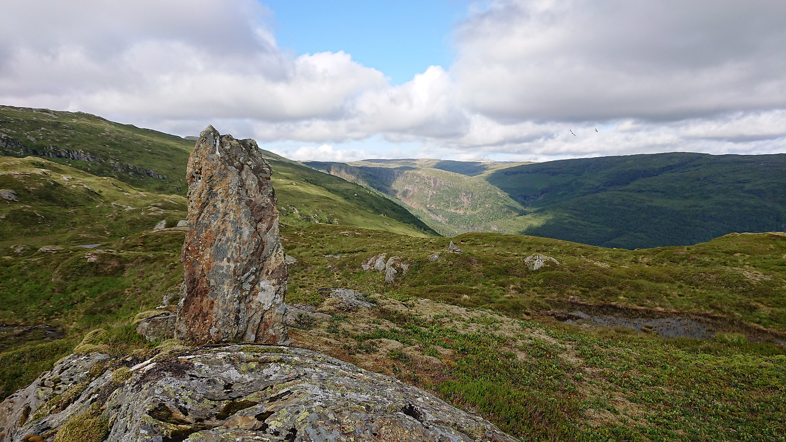
After the break we continued southwest along Gløvreegga, still along the ridge and still partly on trails/animal tracks, passing by the large cairn at hill 897. Here the trail continued down into the valley between Gløvreegga and Grånipa, and following it was very useful for finding a good place the descend, as there were some steep areas to avoid.
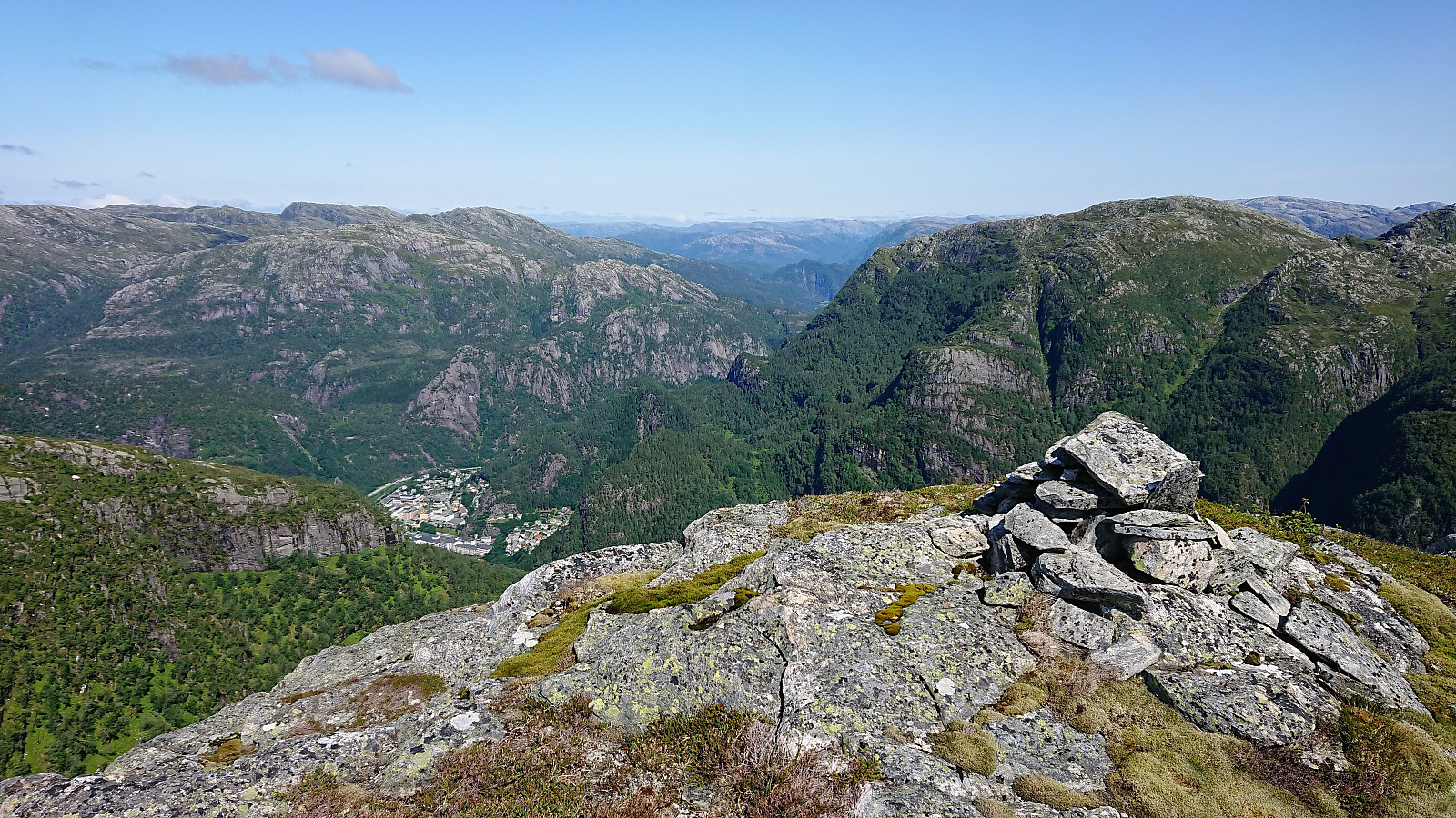
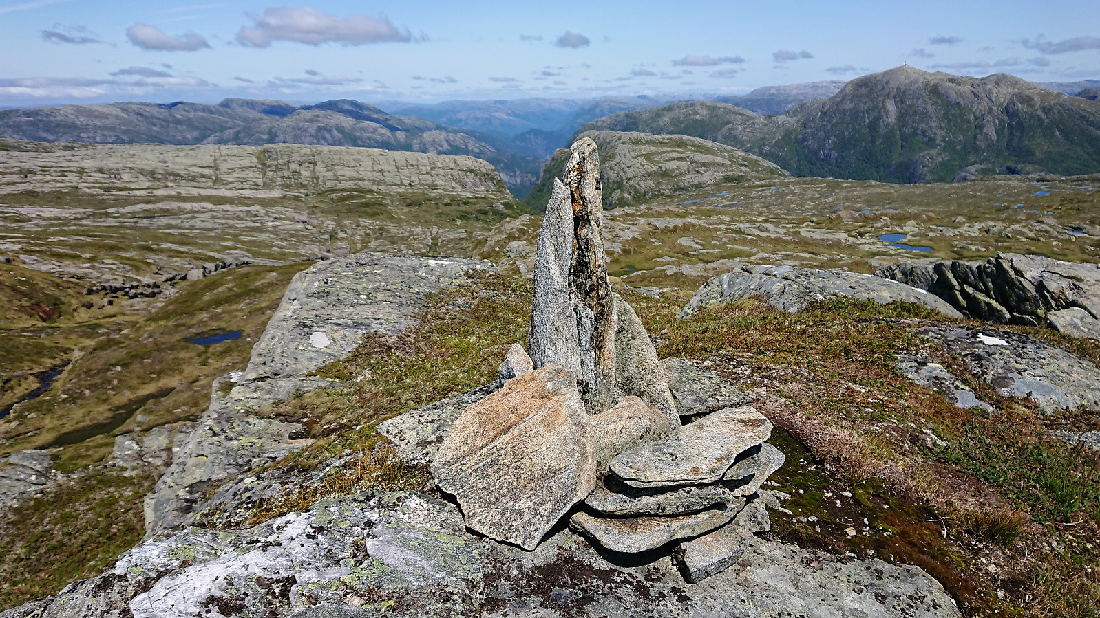
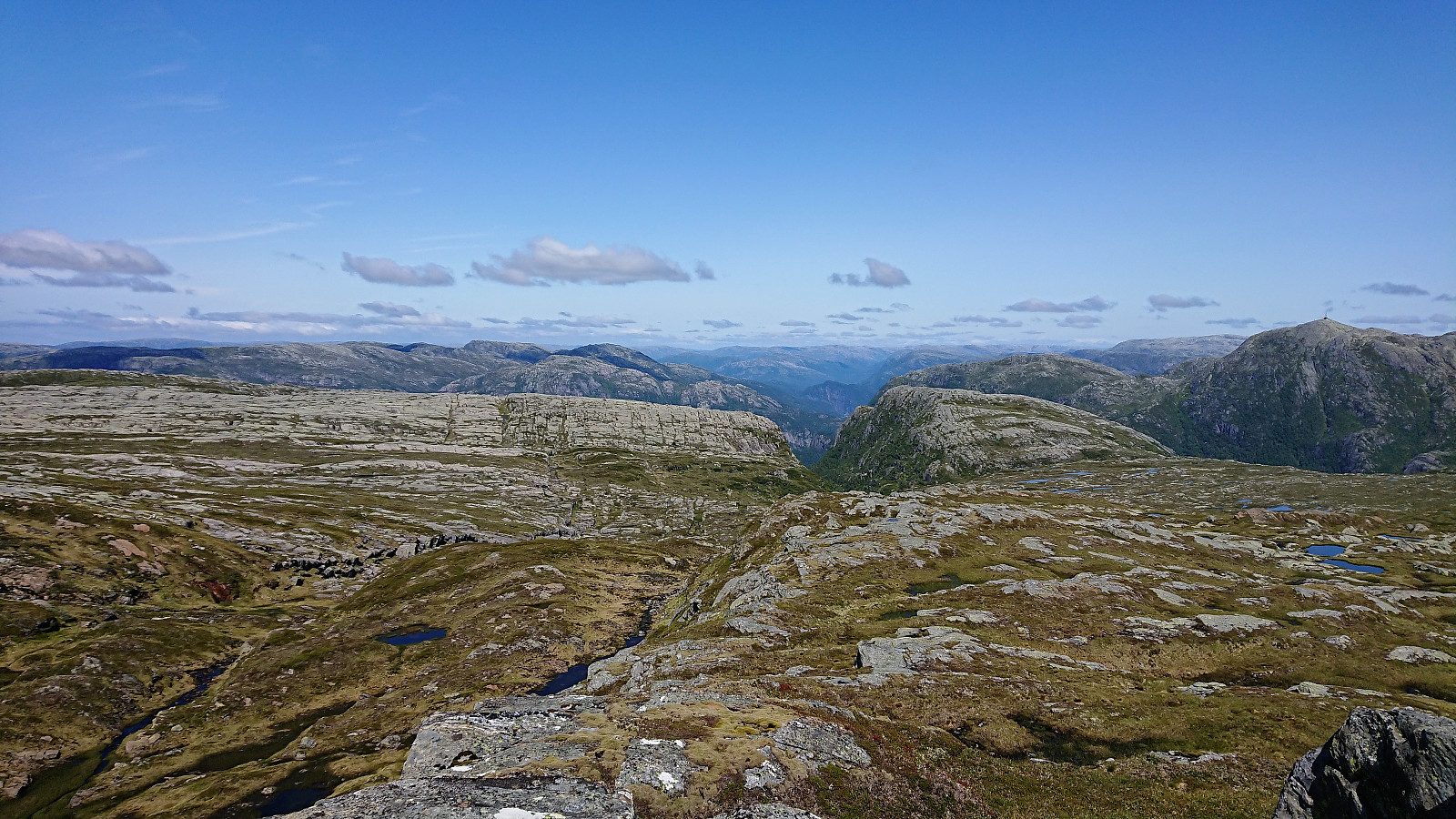
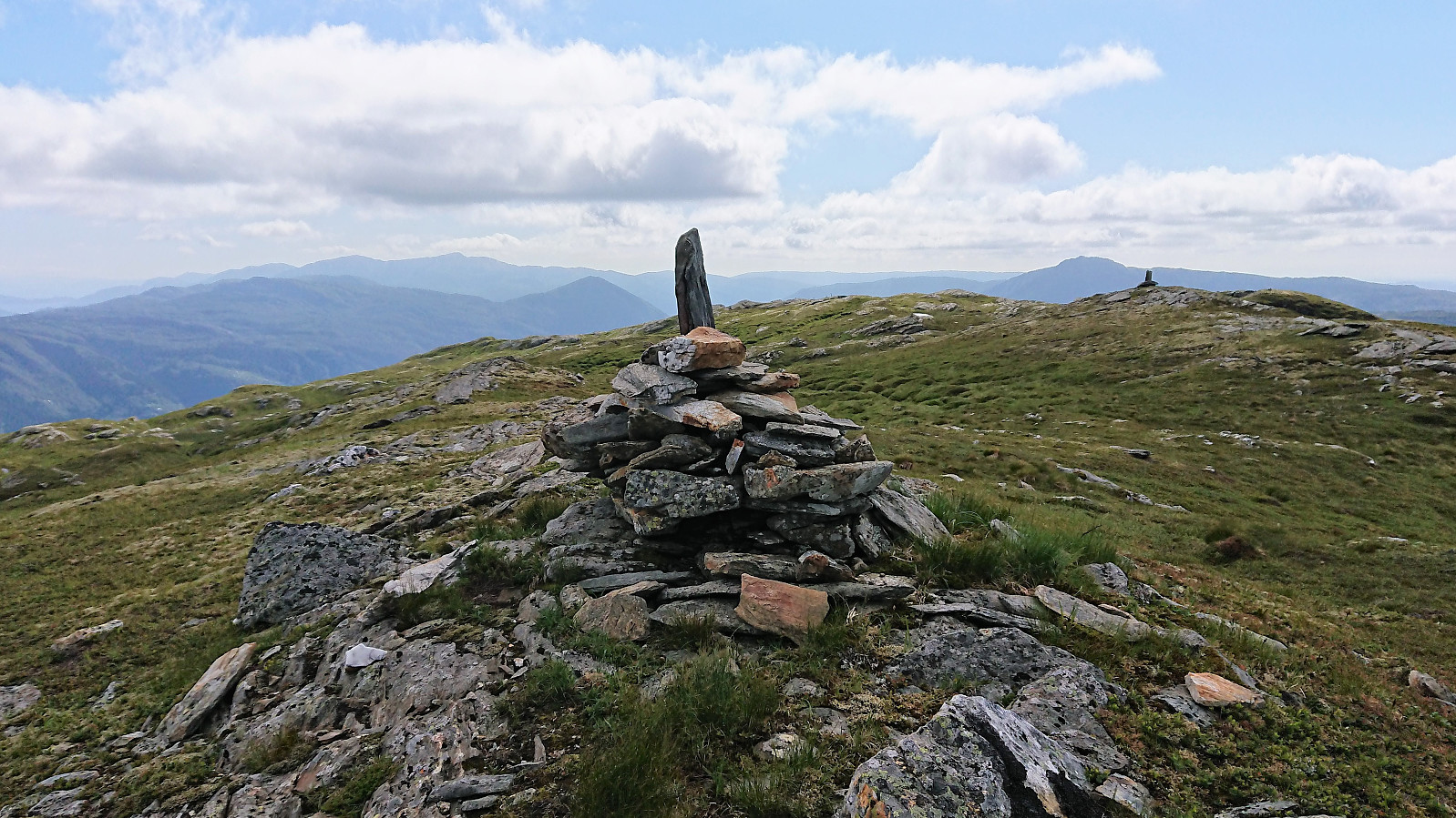
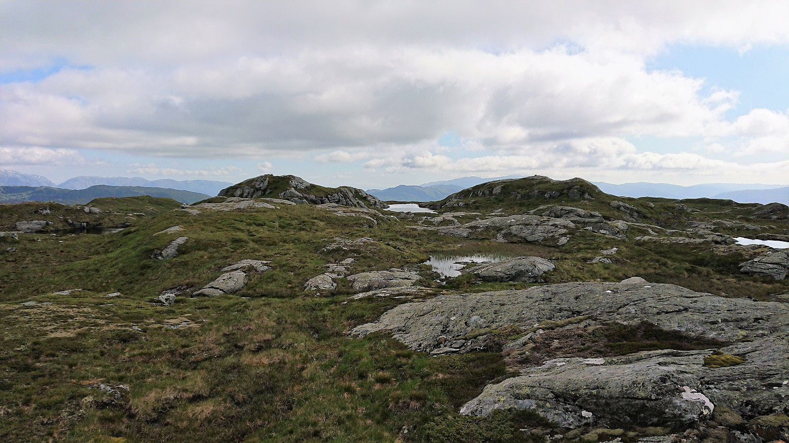
In the valley the trail more or less disappeared, or at least we could not see any trails heading in the direction of Grånipa. (A later inspection of the map uncovered a path heading south of Grånipa. See HHauser (Helwig Hauser)'s trip report for more details on this option.) But even without a trail to follow, it was still relatively easy to make progress towards Grånipa, which provided two cairns at two hills of very similar height. As far as I could tell the eastern one is the summit, but both were of course visited to be on the safe side.
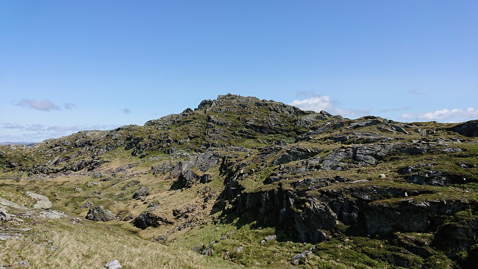
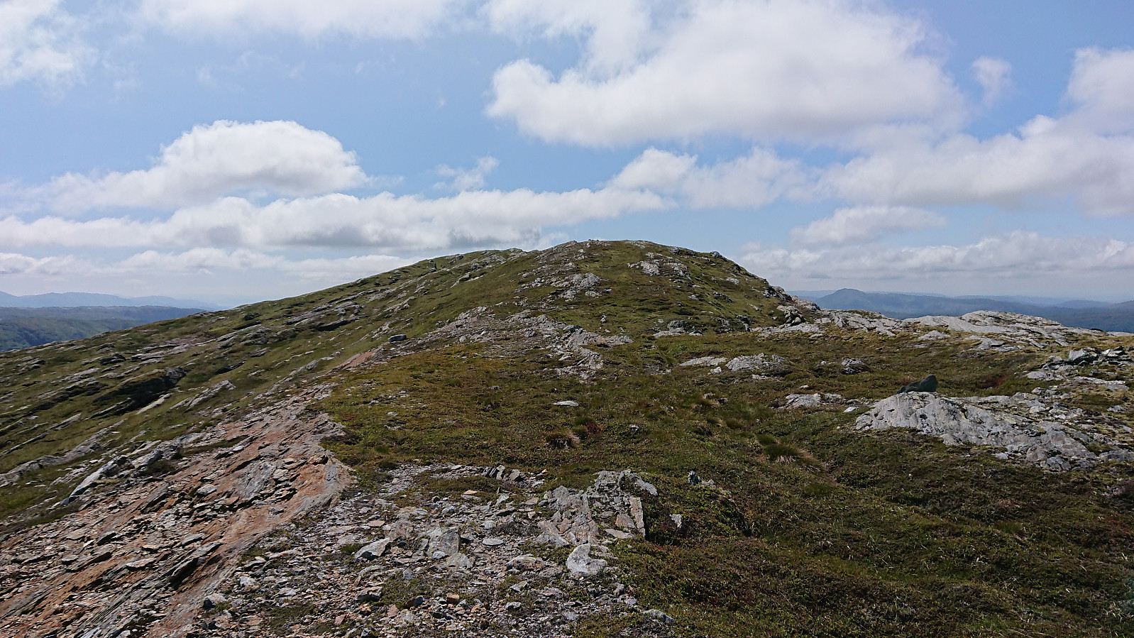
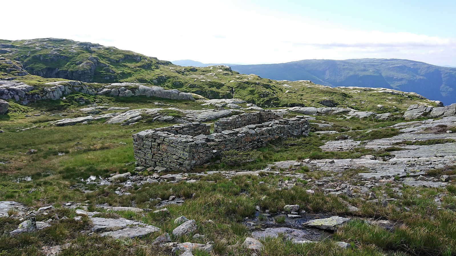
We now had to make a choice regarding which train to aim for at Vaksdal, and given the nice weather we decided on the later of the two considered options, and should thus have plenty of time to also include a visit of Bjørnafjellet. From Grånipa we therefore headed straight west, passing by the remains of Jamnasætra, before finding a simple ascent to Bjørnafjellet, avoiding the step sections of Budalen, and getting some nice views towards Flatafjellet on the way.
Similar to Grånipa, Bjørnafjellet also consisted of two twin hills of almost identical height, and again both were visited, with a third short lunch break at the western summit. After a quick visit of the eastern summit, we made our own way down to the cabins at Flærne, from where we followed a trail down to Javnasåta, making sure to also include a quick visit of the summit.
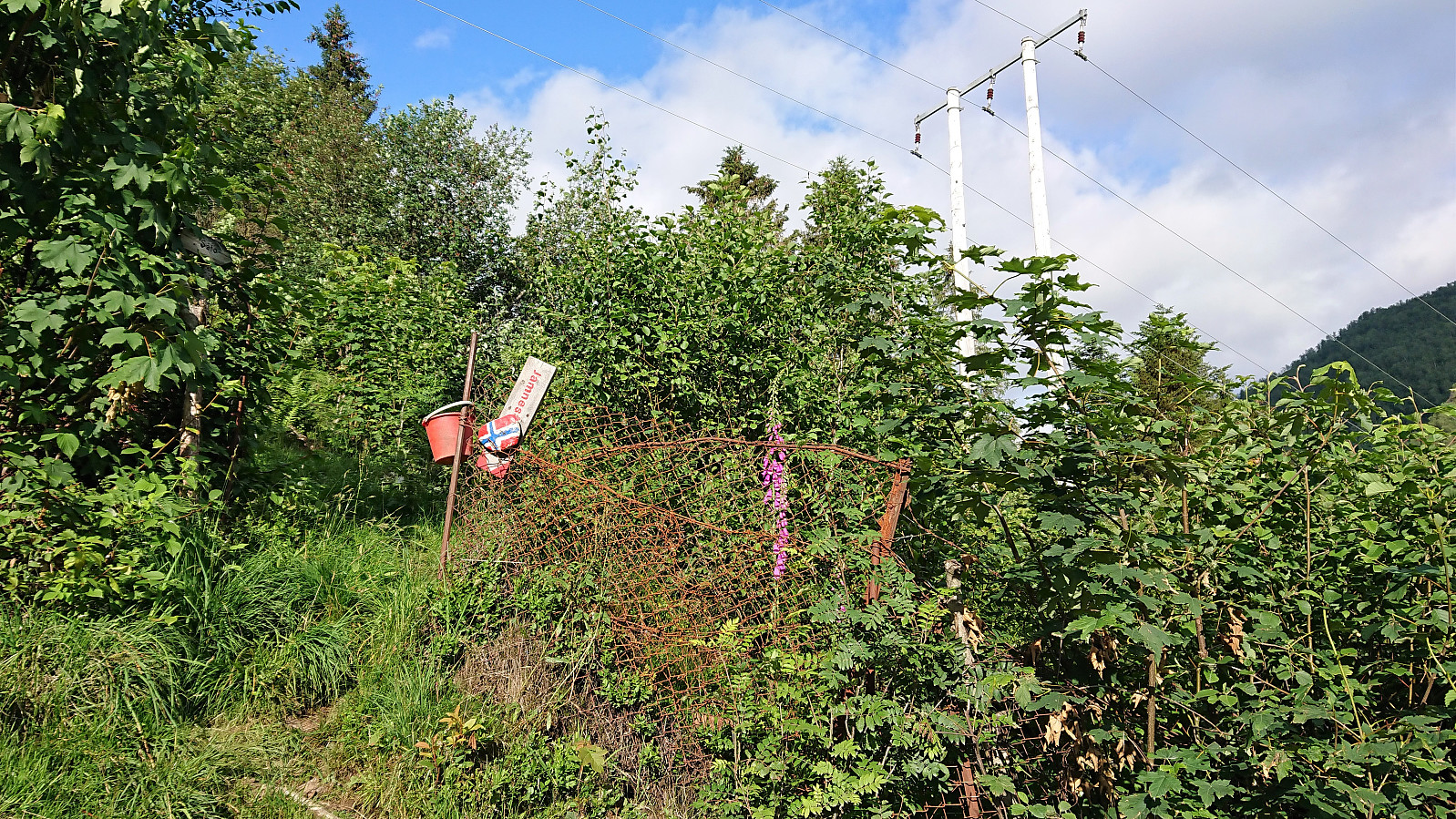
All that remained was now the surprisingly steep and slippery descent to Javna. And while we initially assumed that we would have plenty of time for the planned train at Vaksdal, this last part of the hike took significantly longer than expected, and we actually had to push to make sure that we would indeed reach the train station in time. In the end we made it with 10-15 minutes to spare and could even slow down when reaching the paved road and the marked trailhead at Javna.
In summary, an excellent hike that can be very highly recommended. Spectacular views along the way and a terrain that makes it surprisingly easy to make progress, even for the sections without a clear trail. The key exception being the steep and slippery descent from Javnasåta to Vaksdal. So be sure to factor this in if having a train to catch!
| Start date | 27.06.2019 09:56 (UTC+01:00 DST) |
| End date | 27.06.2019 19:11 (UTC+01:00 DST) |
| Total Time | 9h 15min |
| Moving Time | 7h 34min |
| Stopped Time | 1h 40min |
| Overall Average | 2.3km/h |
| Moving Average | 2.8km/h |
| Distance | 21.3km |
| Vertical meters | 1,158m |


User comments