
Våkendalen (23.06.2019)

Skrevet av hbar (Harald Barsnes)

| Startsted | Årstadveien (57moh) |
|---|---|
| Sluttsted | Lønborg (56moh) |
| Turtype | Fjelltur |
| Turlengde | 3t 57min |
| Distanse | 17,9km |
| Høydemeter | 959m |
| GPS |
|
| Bestigninger | Rundemanen (568moh) | 23.06.2019 |
|---|---|---|
| Andre besøkte PBE'er | Bergen Radio Stasjonsbygning (553moh) | 23.06.2019 |
| Brushytten (412moh) | 23.06.2019 | |
| Grindarasten (375moh) | 23.06.2019 | |
| Hardbakka (ruin) (220moh) | 23.06.2019 | |
| Hardbakkaplasset (130moh) | 23.06.2019 | |
| Hardbakkhaugen (ruin) (301moh) | 23.06.2019 | |
| Hellegrind (199moh) | 23.06.2019 | |
| Hus vest for Rundemansmasten (546moh) | 23.06.2019 | |
| Ishuset ved Langevatnet (127moh) | 23.06.2019 | |
| Lundekvam (tuft) (495moh) | 23.06.2019 | |
| Solhaugen søyle (107moh) | 23.06.2019 | |
| Tarlebødemningen (365moh) | 23.06.2019 | |
| Tarlebøtræet (ruin) (283moh) | 23.06.2019 | |
| Vannverkshus i Skiveien (244moh) | 23.06.2019 |
Våkendalen
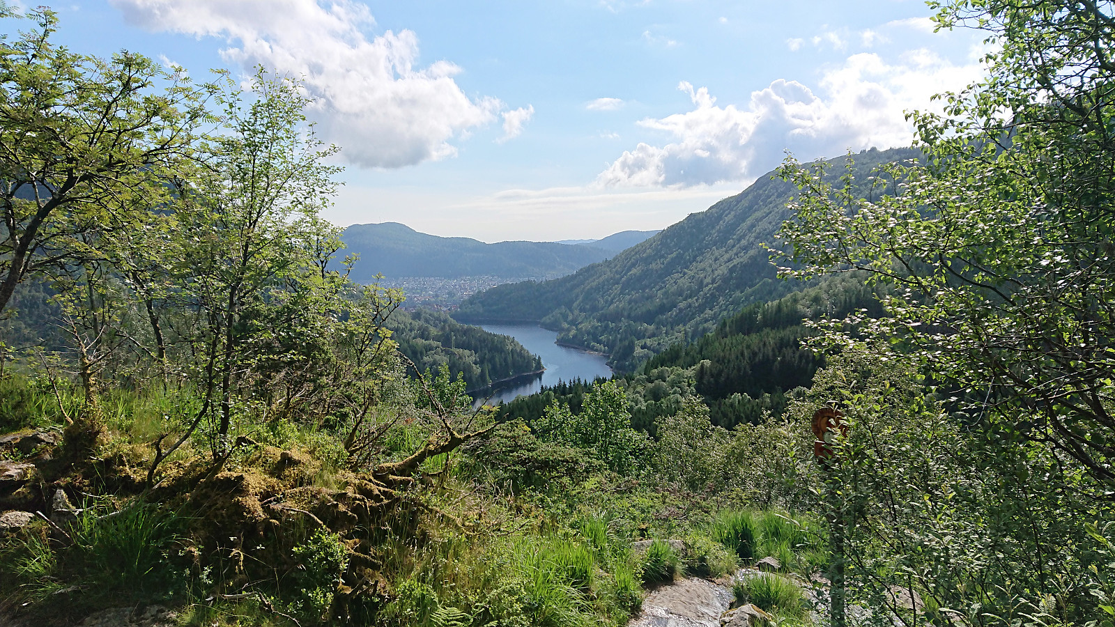
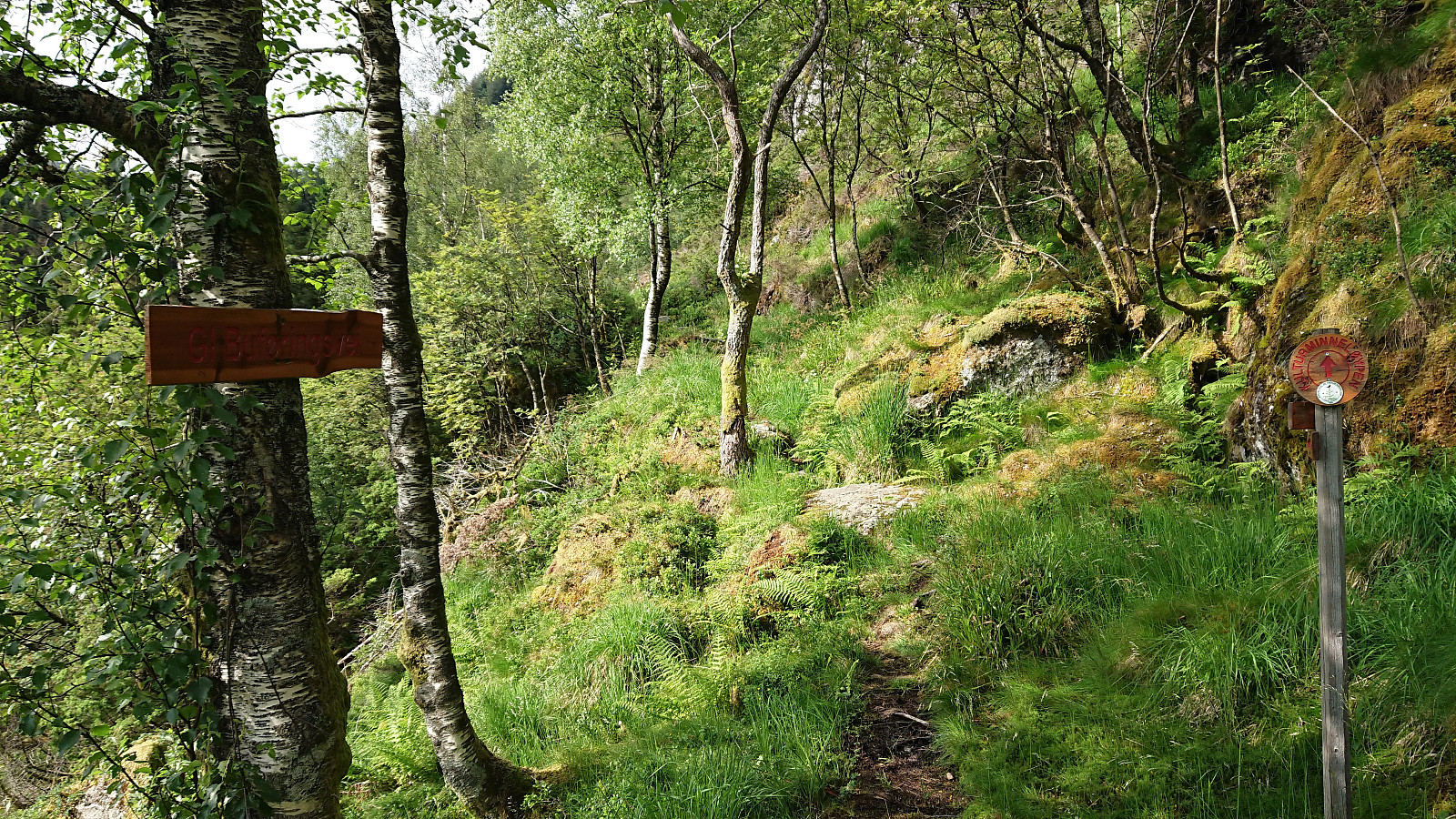
It was already late afternoon when it finally stopped raining and too late to visit any new peaks. I therefore settled on a new trail instead and hopped on a bus to Årstadveien. Upon reaching the northern end of Svartediket I left the main road and followed the trail up to Hardbakkedalen. Just before the trail enters the upper part of Hardbakkedalen, I turned left (north) for the new trail of the day: Buføringsvegen. My hope was that I would discover a new route up to Langelivatnet, or if this did not work out, end up somewhere below Tarlebøvatnet.
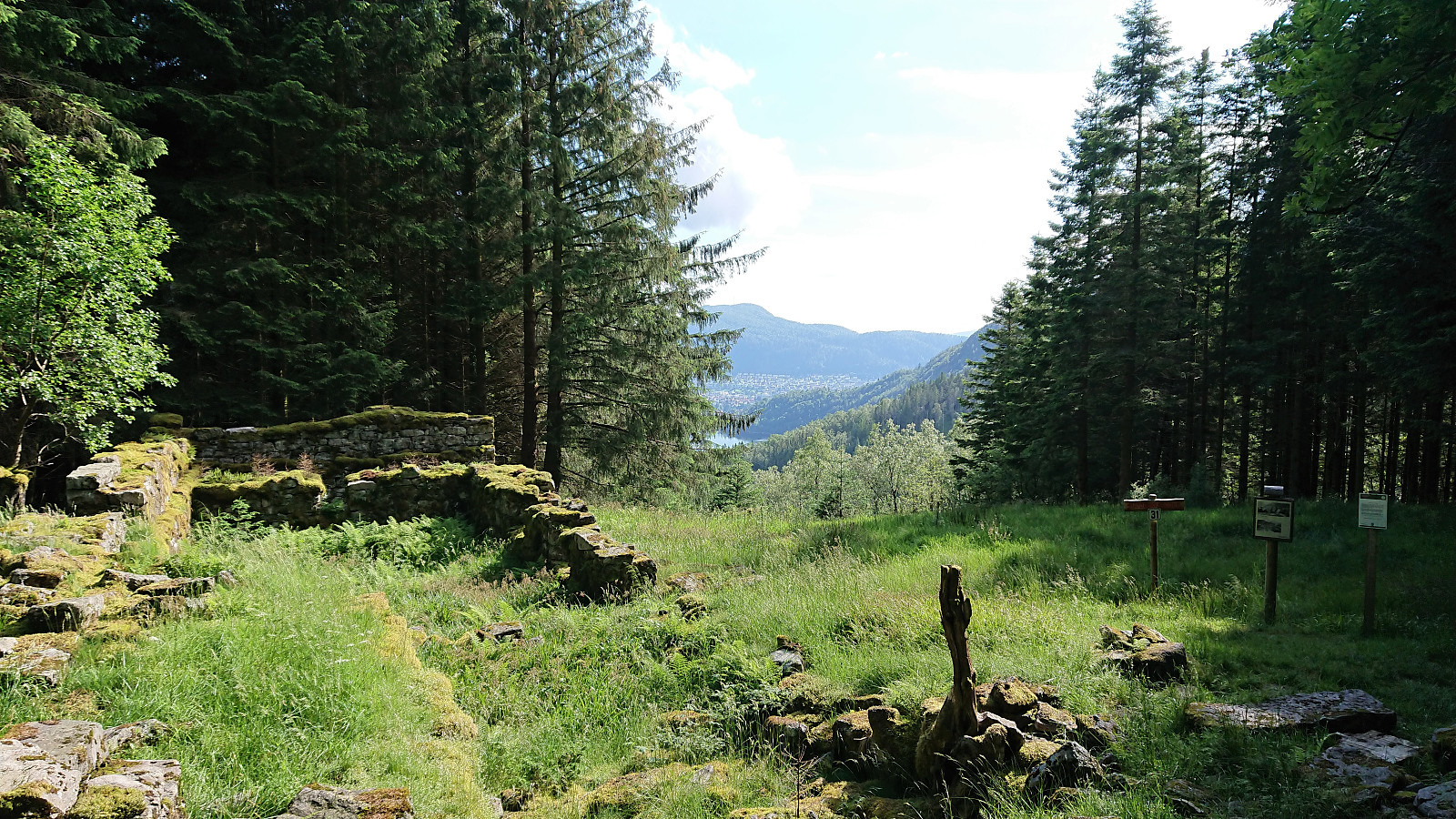
The trailhead was marked, but the trail itself did not seem very frequently used. It was however overall easy to follow and I soon arrived at the ruins at Hardbakkhaugen, where an information sign, mainly about the small farm, also mentioned that there used to be a trail from this location up to Langelivatnet. Initially it also looked very promising, as a weak trail, including relatively fresh footprints, seemed to lead in the wanted direction.
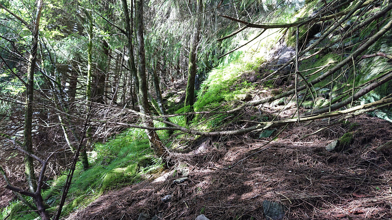
The two key words on the sign sadly turned out to be "used to", as the trail disappeared just as the ascent started getting steep. I pushed on for a bit longer, but then decided to give up and return to the marked trail. When descending I noticed several bicycle tire tracks and realized that the footprints I had seen earlier probably did not belong to fellow hikers, but rather to mountain bikers.
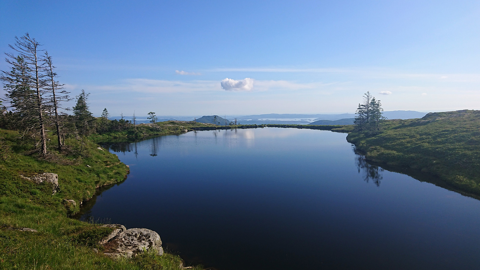
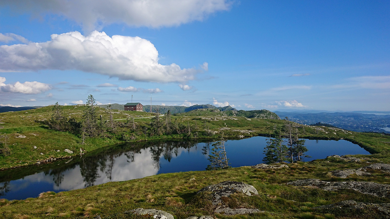
After reconnecting with the trail, I shortly arrived at the gravel road just below Tarlebøvatnet. The hike was concluded by crossing over Rundemanen and walking along the gravel roads to Lønborg. So while the hike did not turn out the way I had hoped, the visiting of all the ruins in Våkendalen still made for an interesting hike.
| Starttidspunkt | 23.06.2019 17:03 (UTC+01:00 ST) |
| Sluttidspunkt | 23.06.2019 21:00 (UTC+01:00 ST) |
| Totaltid | 3t 57min |
| Bevegelsestid | 3t 47min |
| Pausetid | 0t 9min |
| Snittfart totalt | 4,5km/t |
| Snittfart bevegelsestid | 4,7km/t |
| Distanse | 17,9km |
| Høydemeter | 958m |


Kommentarer