
Løtane, Myrbærstøfjellet, Nonkletten, Sørkletten and Klubben (07.06.2019)

Written by hbar (Harald Barsnes)

| Start point | Tyssebotn kai (2m) |
|---|---|
| Endpoint | Kleppe (113m) |
| Characteristic | Hillwalk |
| Duration | 4h 58min |
| Distance | 15.3km |
| Vertical meters | 1,079m |
| GPS |
|
| Ascents | Klubben (352m) | 07.06.2019 |
|---|---|---|
| Løtane (241m) | 07.06.2019 | |
| Myrbærstøfjellet (318m) | 07.06.2019 | |
| Nonkletten (313m) | 07.06.2019 | |
| Sørkletten (341m) | 07.06.2019 | |
| Visits of other PBEs | Vikatjørni p-plass (100m) | 07.06.2019 |
Løtane, Myrbærstøfjellet, Nonkletten, Sørkletten and Klubben

Given the poor weather forecast for the upcoming extended weekend, and with excellent hiking conditions on the Friday, I decided to take Friday off and work during the rainy weekend instead. To take full advantage of the increased number of buses available on a normal weekday, I hopped on a bus to Tysse (or rather bus + bus + ferry + bus) where I arrived around two hours later.
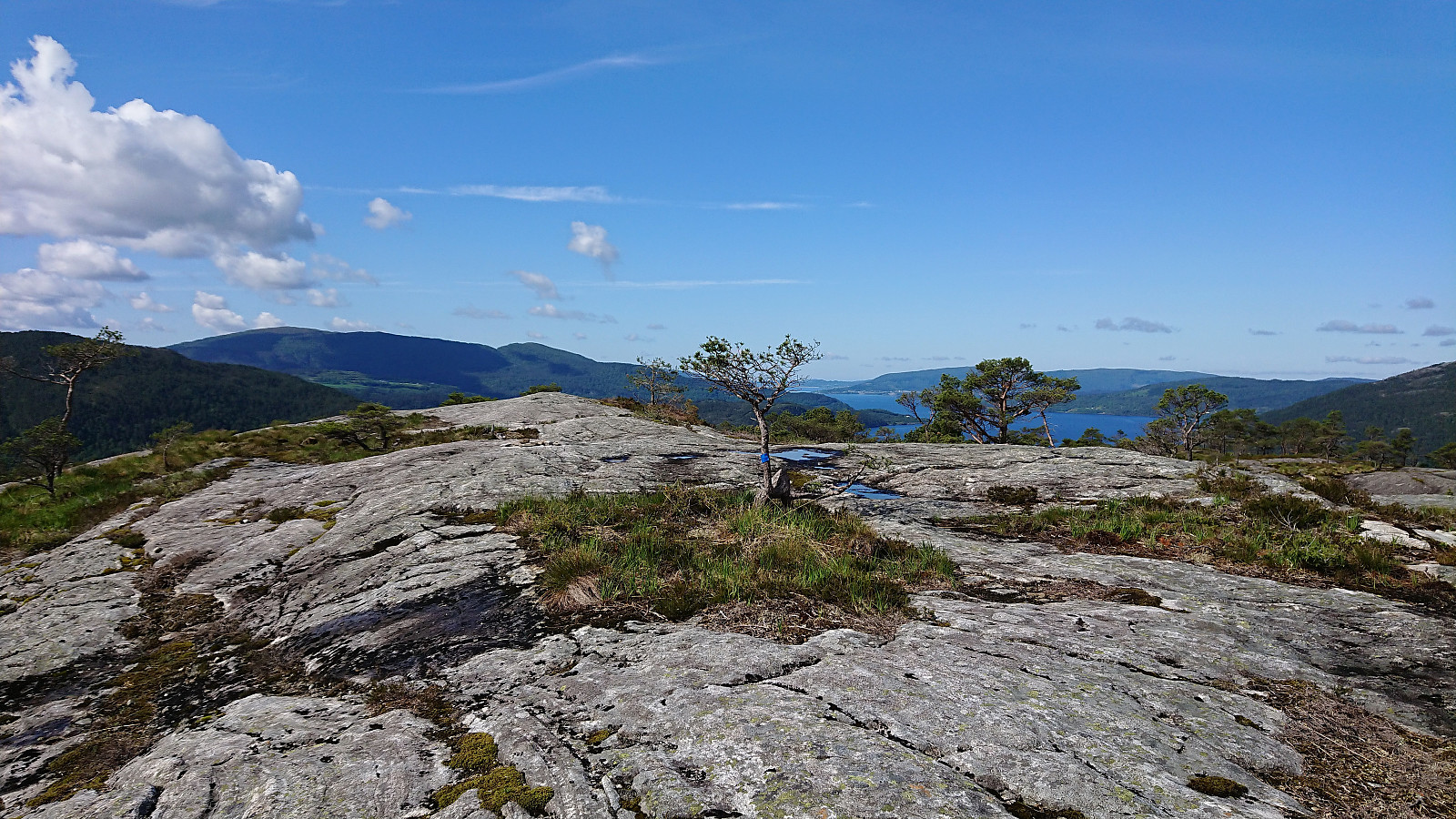
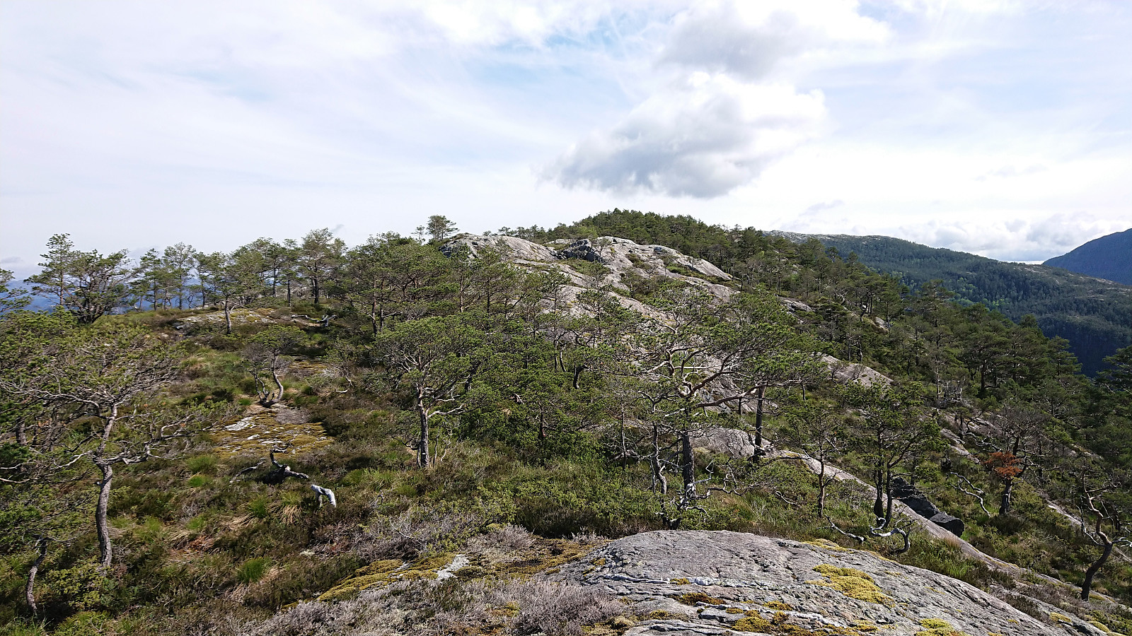
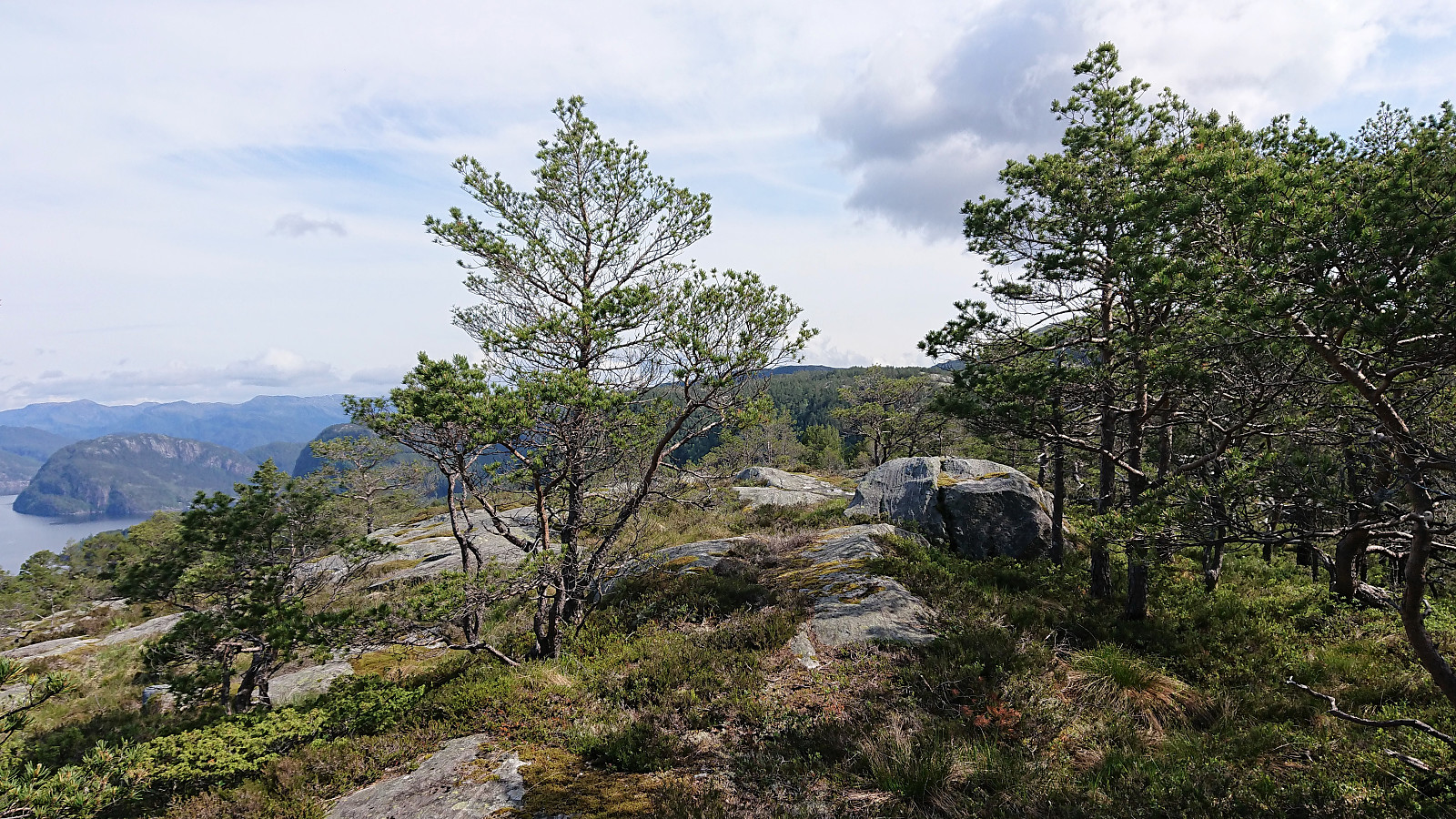
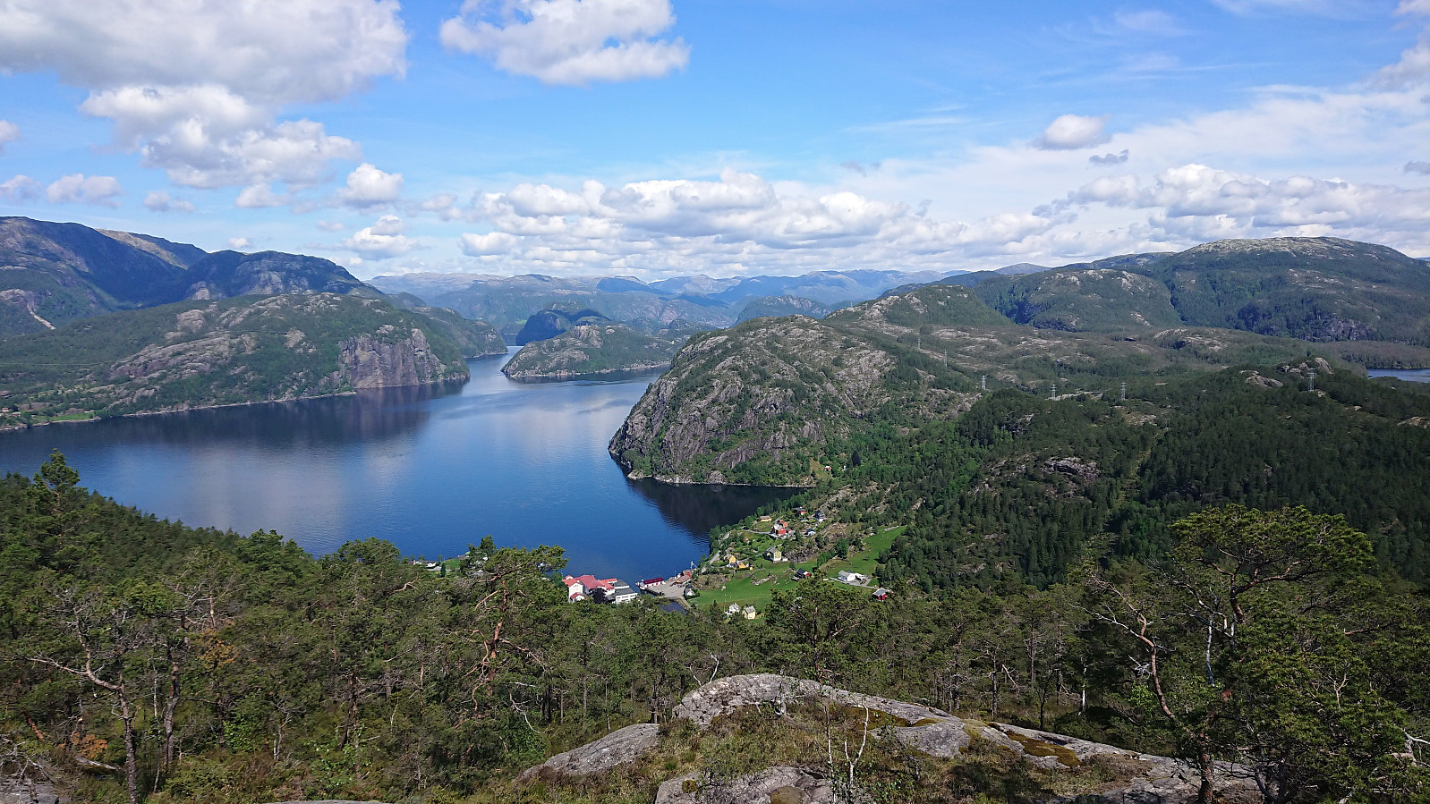
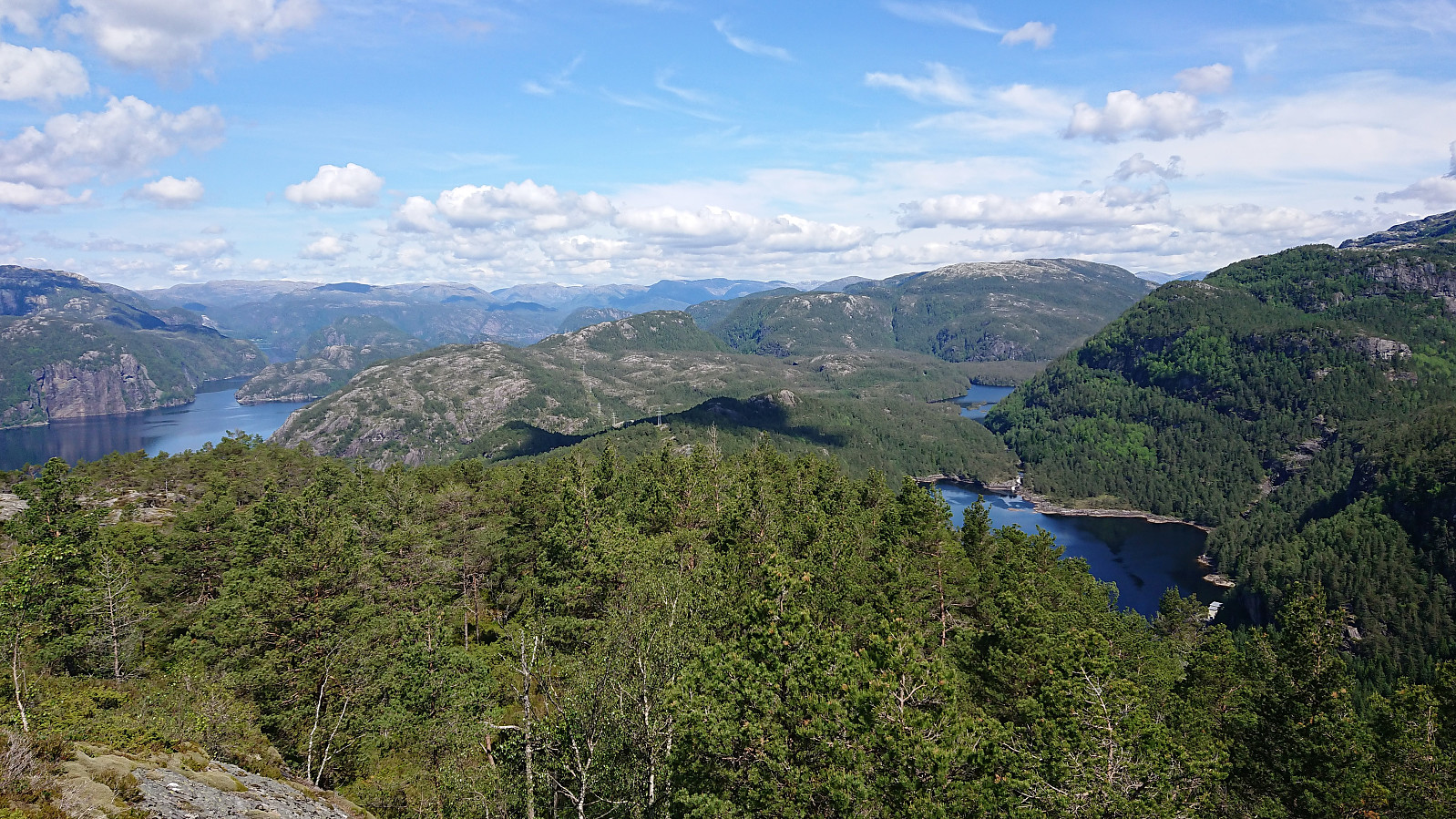
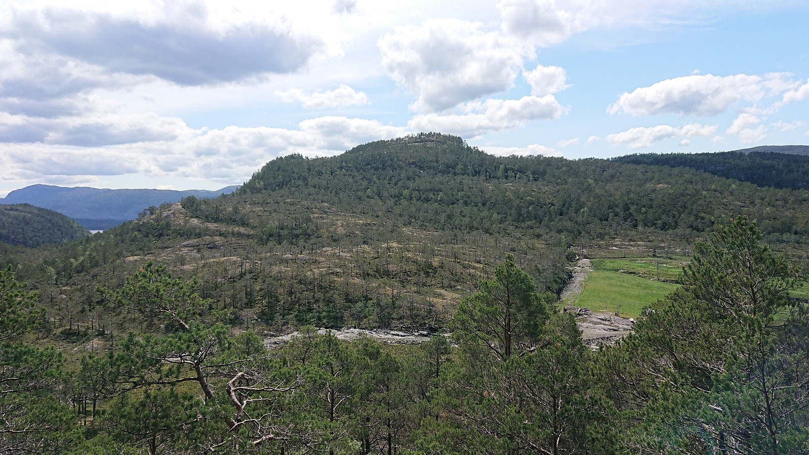
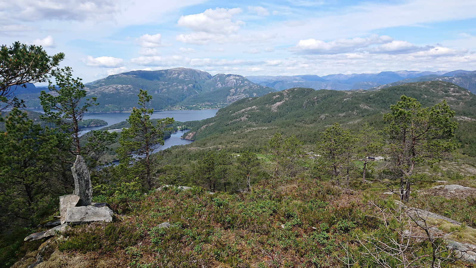
My first goals were Løtane and Myrbærstøfjellet, so I continued northeast along the road until locating the marked trailhead for Løtane. The trail itself was marked with blue plastic markers, making it straightforward to reach the summit of Løtane, which provided very nice views.
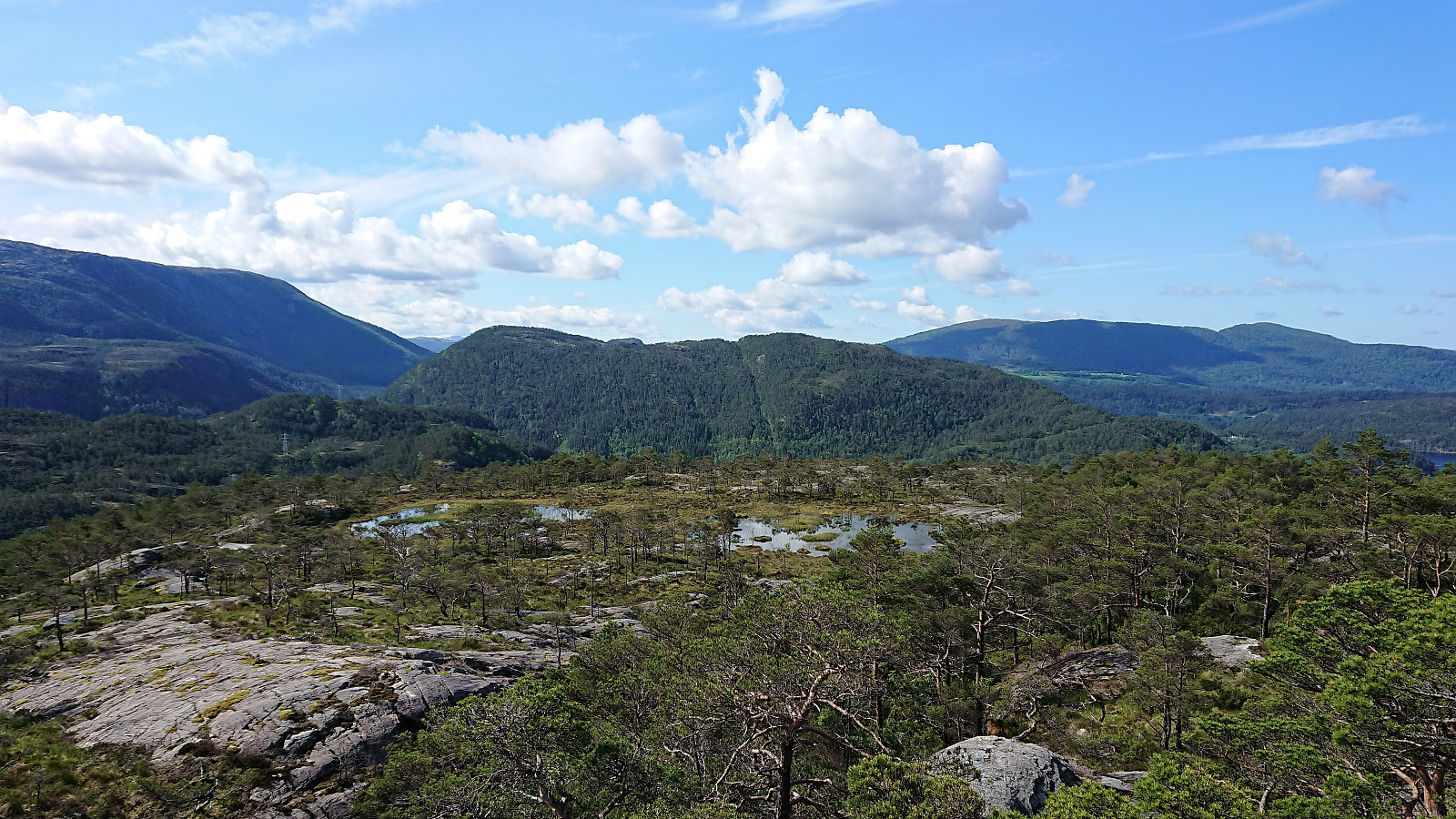
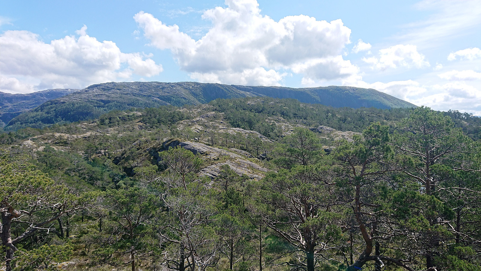
I did not stay long before heading for Myrbærstøfjellet. First along the blue trail, and later on a weaker trail following the ridge. The trail more or less disappeared, until reappearing close to the summit, but it was not really needed anyway, as the direction was obvious. Nice views at Myrbærstøfjellet as well. From Myrbærstøfjellet I doubled back, returning to the blue trail, which I then followed back to the road. But not along the same trail as for the ascent, rather an alternative trail slightly further east. A bit wetter, but still of ok quality.
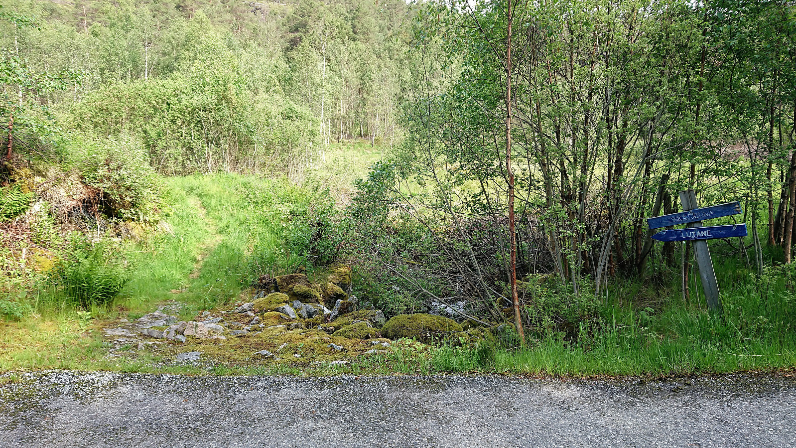
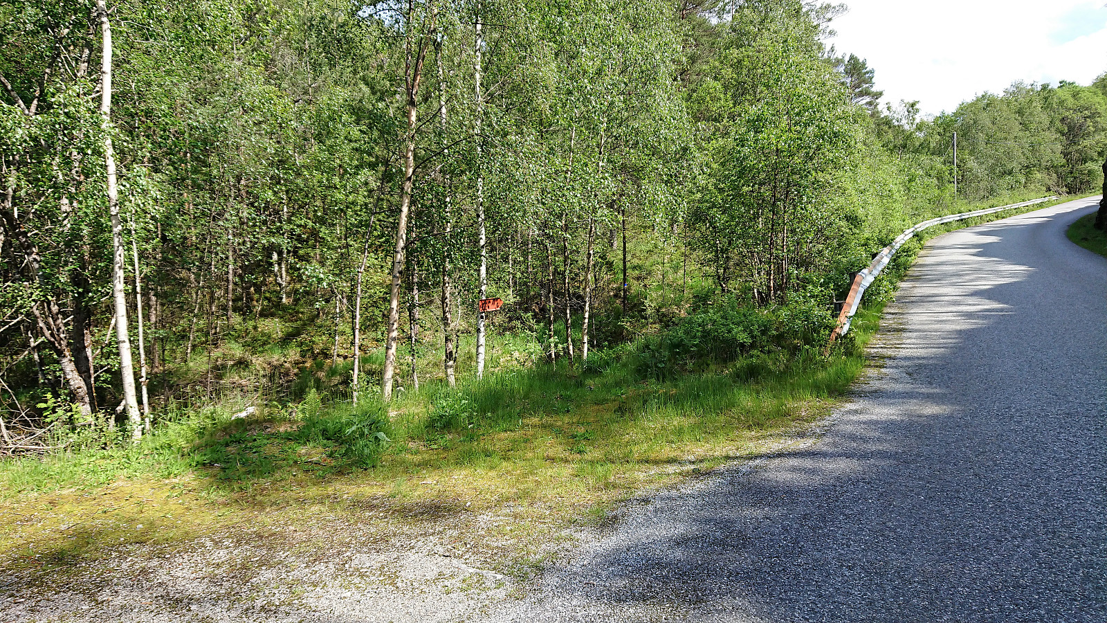
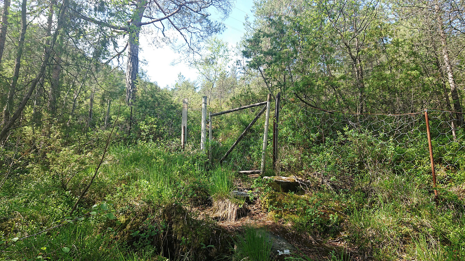
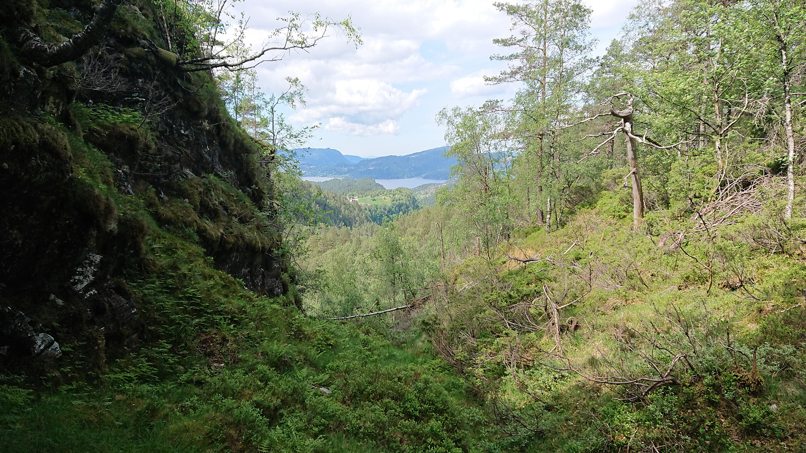
Upon reaching the road, I returned to Tysse to locate the trailhead for Nonkletten. But even though this trail was clearly marked on the map, and getting to the area where the trail was supposed to start was straightforward, the trail itself was not to be found. In the end I had to "cheat" and check previous PB-reports. It turned out that the trailhead is unmarked and difficult to spot. One should instead look for a small gate 5-10 meters south of the road (see pictures).
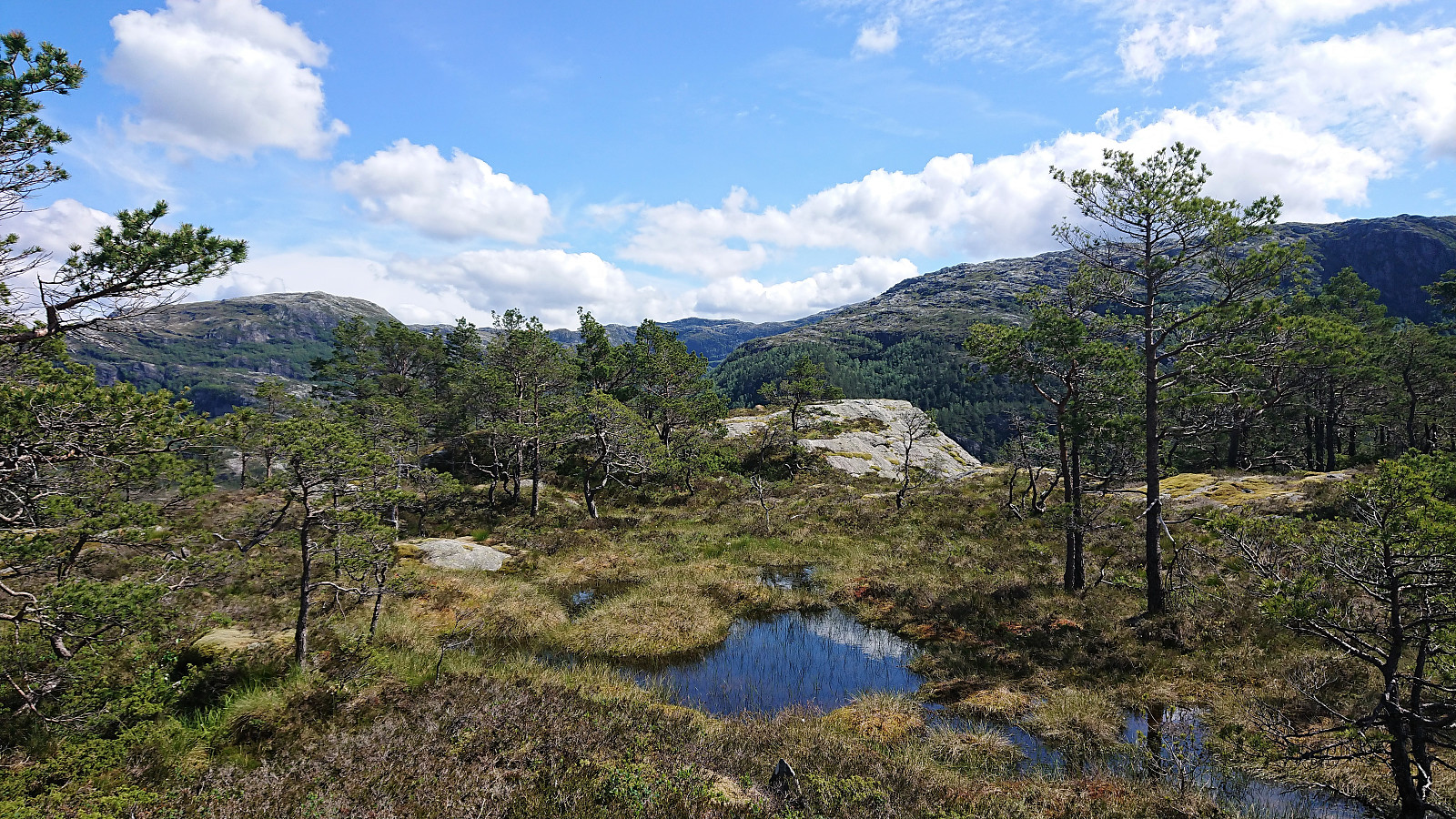
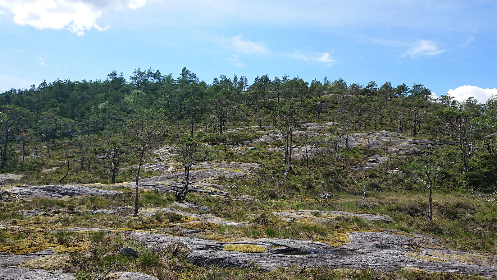
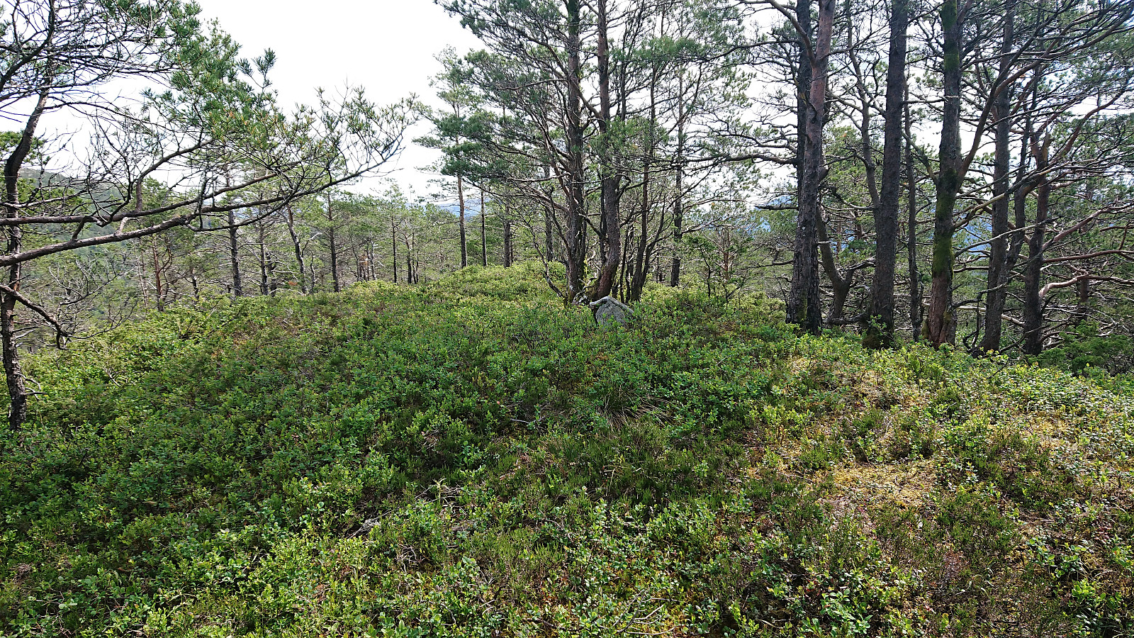
After finally locating the start of the trail, the trail itself was easily followed, and even marked with white plastic markers, although on this day the trail was overall wet and muddy. I was hoping this would improve as I got higher up, but on the contrary, it actually got even more wet and muddy. The summit of Nonkletten was still reached without any real difficulties, but I only stayed long enough to sign my name in the visitor register before continuing to Sørkletten.
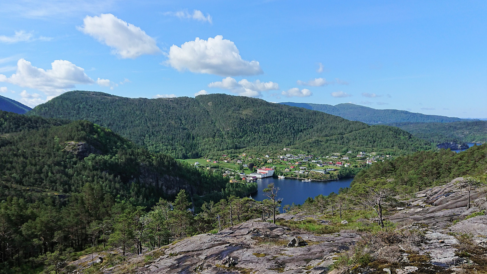
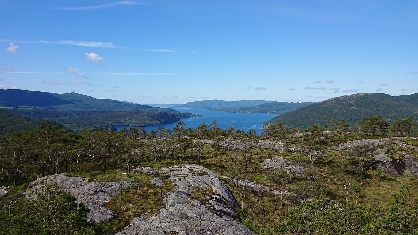
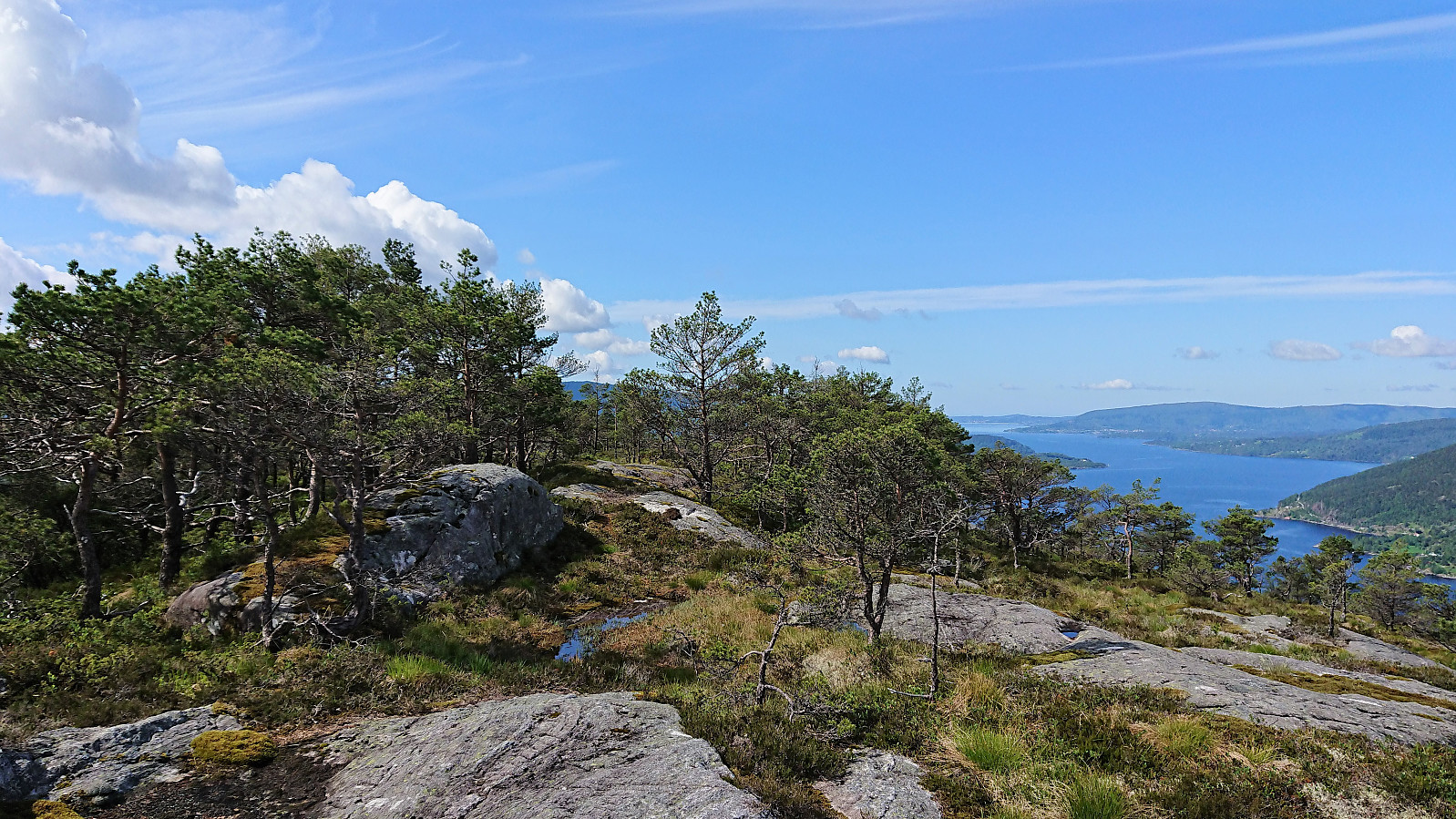
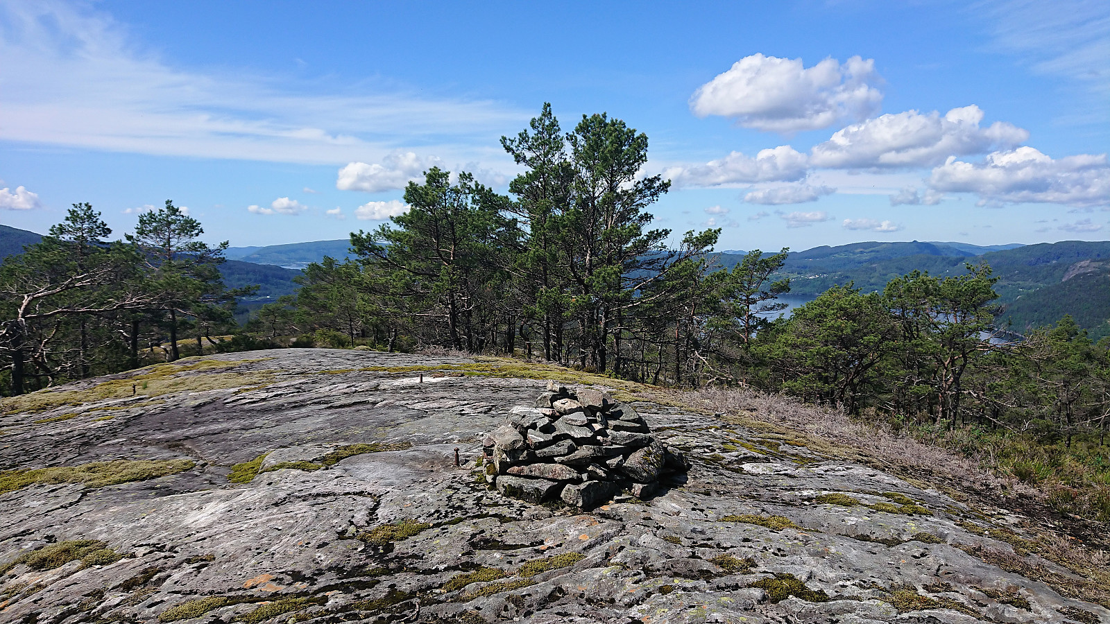
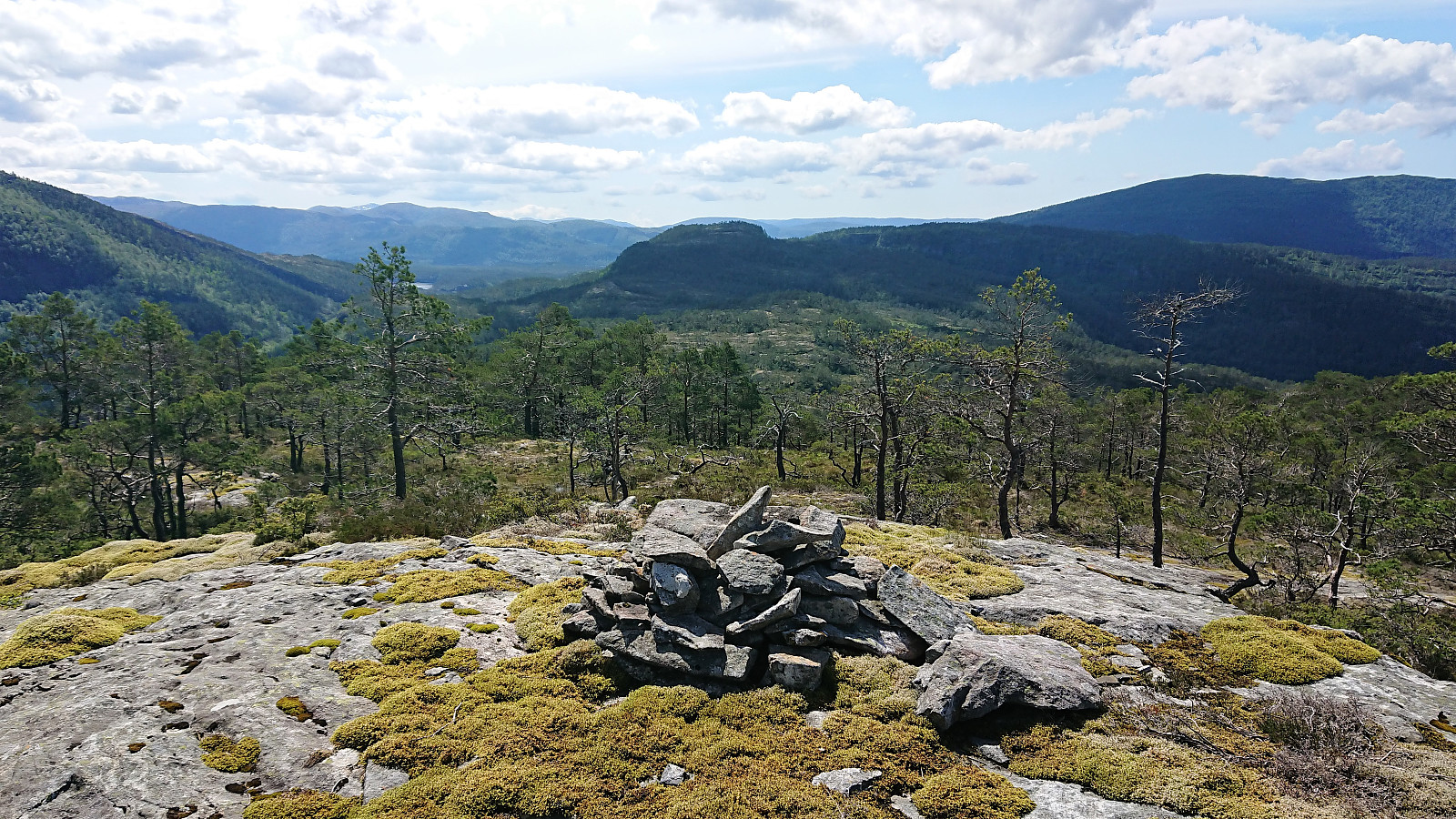
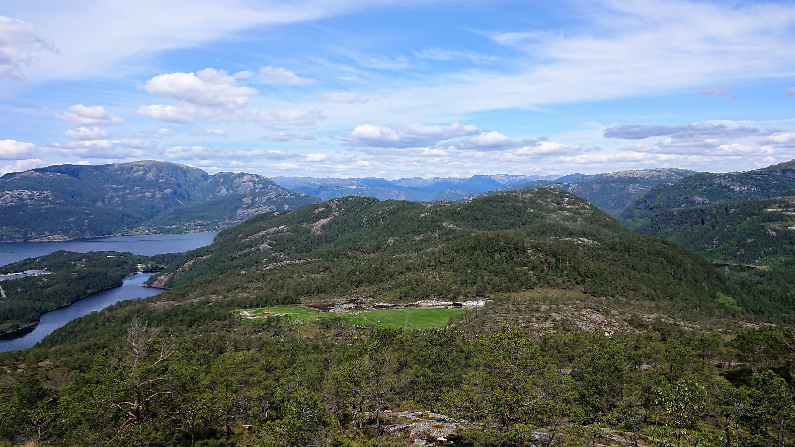
There was a weak trail which thankfully was also marked with blue plastic markers, and although the markers were often hard to spot, they did make it much easier to make progress towards Sørkletten, especially for the rather steep descent just to the east of Nonkletten. So with the help of the blue markers, I soon found myself at the summit of Sørkletten, providing excellent views and a good place to eat my lunch.
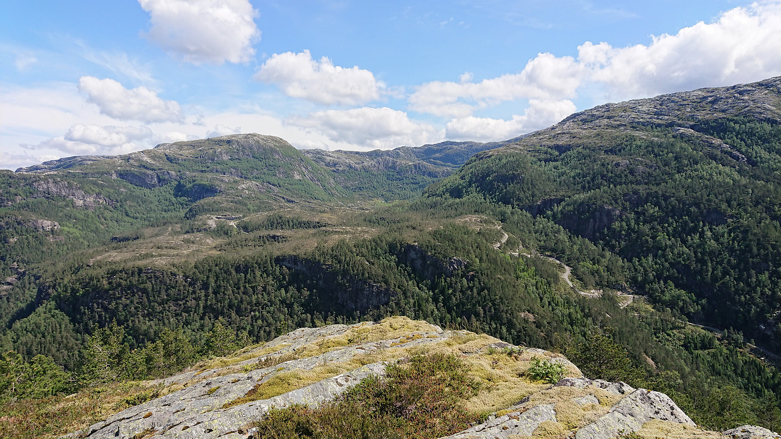
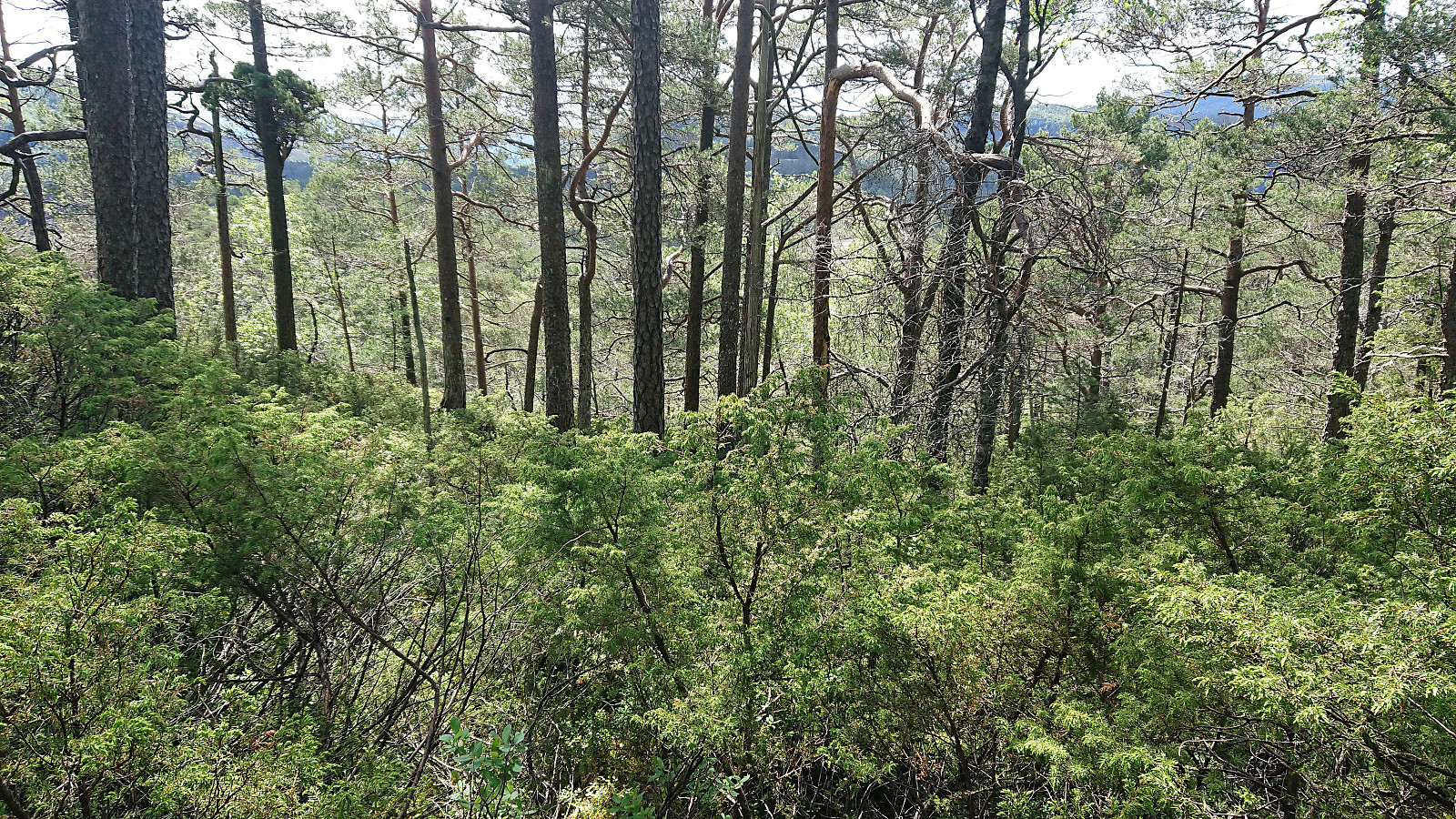
My final goal of the day was to make the connection south from Sørkletten to Klubben. Based on my reading of the previous reports from the same area, I was not really looking forward to this part, as they all described difficult and wet terrain. However, either I was much luckier with my chosen route, consisting of following various deer tracks, or my expectations had been lowered too much, because I was actually positively surprised about how (relatively) easy I could make progress toward Klubben.
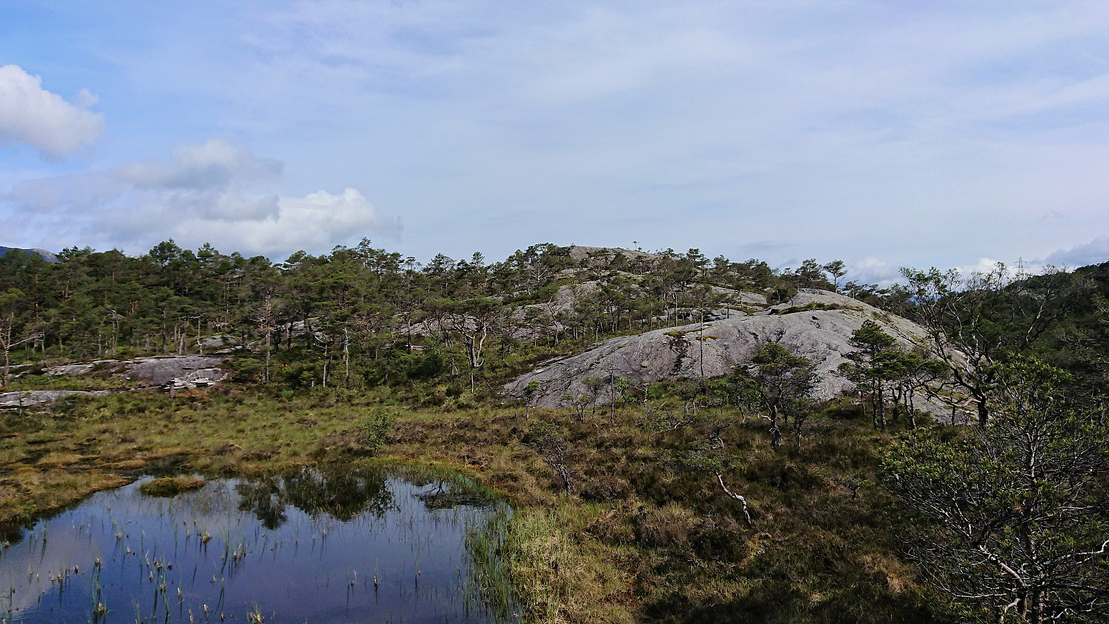
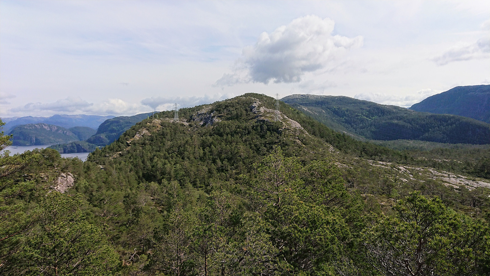
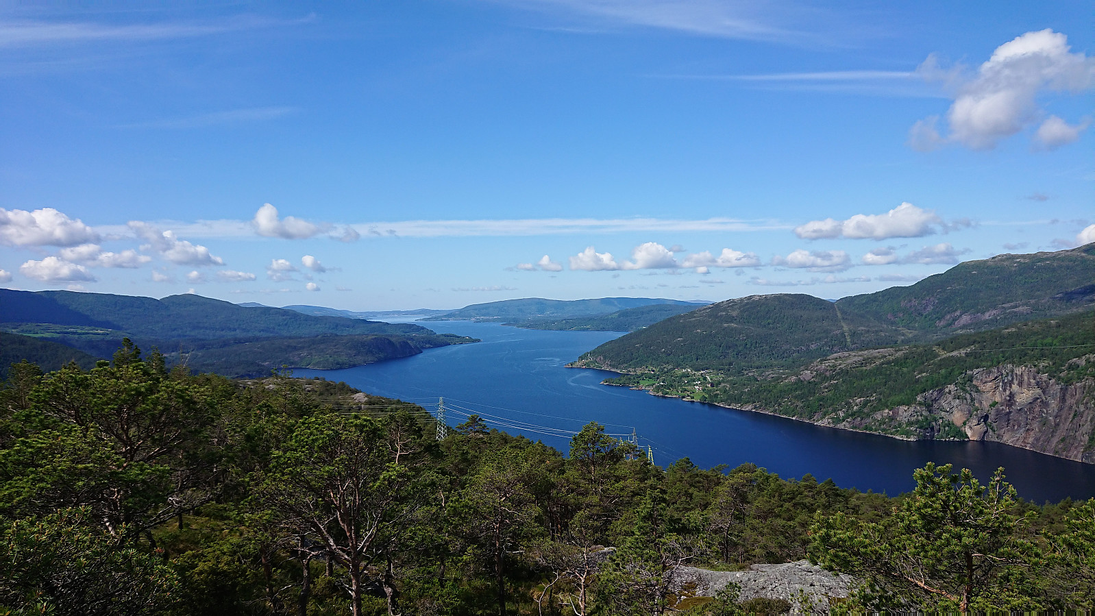
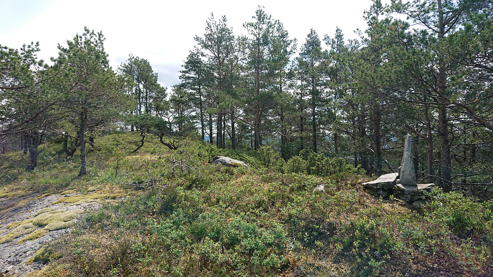
Don't get me wrong, there were still lots of low to medium high bushes that had to be powered through, and lots of wet areas, but there were also numerous stretches where moving in the wanted direction was relatively straightforward. So within not too long I arrived at the summit of Klubben, where the best views were not obtained from the summit itself, but rather at the cairn to the north.
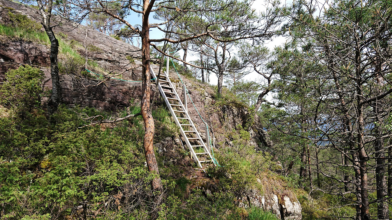
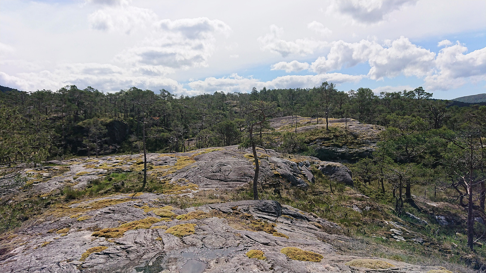
I continued southwest across the summit with the goal of descending to Budalen after an idea from (a previous trip report) by Kjell51 (Kjell Øijorden). And except for one or two steep areas that had to be avoided, the plan was carried out without any problems. At first I did not reach Budalen itself though, but rather a small valley further north, but from there it was not too difficult to reach the actual trail. It was not of the best quality at first, but it improved during the ascent.
As I was getting close to the road, I realized that it would perhaps be possible to catch a bus more than one hour earlier than my initial plan. This I of course figured out a bit later than I should have, and even when I switched to running when reaching the road, I still made it to the bus stop two minutes too late. However the bus was thankfully also late and actually showed up three minutes later!
All that remained was then the long bus (and ferry) ride back to Bergen. This turned out to take even longer than expected though as the connecting bus from Breistein to Åsane terminal decided to leave just as the ferry was arriving, instead of waiting two more minutes for the passengers from the ferry. I therefore ended up with a 2 km "bonus" hike from the ferry up to the main road at Haukås…
In summary, a varied hike with greatly different levels of enjoyment. The first part of the hike, including the visits of Løtane and Myrbærstøfjellet was undoubtedly the most enjoyable, and can easily be recommended. The three remaining peaks are clearly more of an acquired taste, but also had their positive elements, for example the surprisingly good views from Sørkletten.
| Start date | 07.06.2019 10:02 (UTC+01:00 DST) |
| End date | 07.06.2019 15:00 (UTC+01:00 DST) |
| Total Time | 4h 58min |
| Moving Time | 4h 36min |
| Stopped Time | 0h 21min |
| Overall Average | 3.1km/h |
| Moving Average | 3.3km/h |
| Distance | 15.3km |
| Vertical meters | 1,078m |


User comments