
Preikestolen and Kvamsfjellet (19.05.2019)

Written by hbar (Harald Barsnes)

| Start point | Osvatnet p-plass (75m) |
|---|---|
| Endpoint | Osvatnet p-plass (75m) |
| Characteristic | Hillwalk |
| Duration | 5h 12min |
| Distance | 10.5km |
| Vertical meters | 813m |
| GPS |
|
| Ascents | Kvamsfjellet (694m) | 19.05.2019 |
|---|---|---|
| Preikestolen Osterøy (425m) | 19.05.2019 | |
| Visits of other PBEs | Osvatnet p-plass (75m) | 19.05.2019 |
Preikestolen and Kvamsfjellet
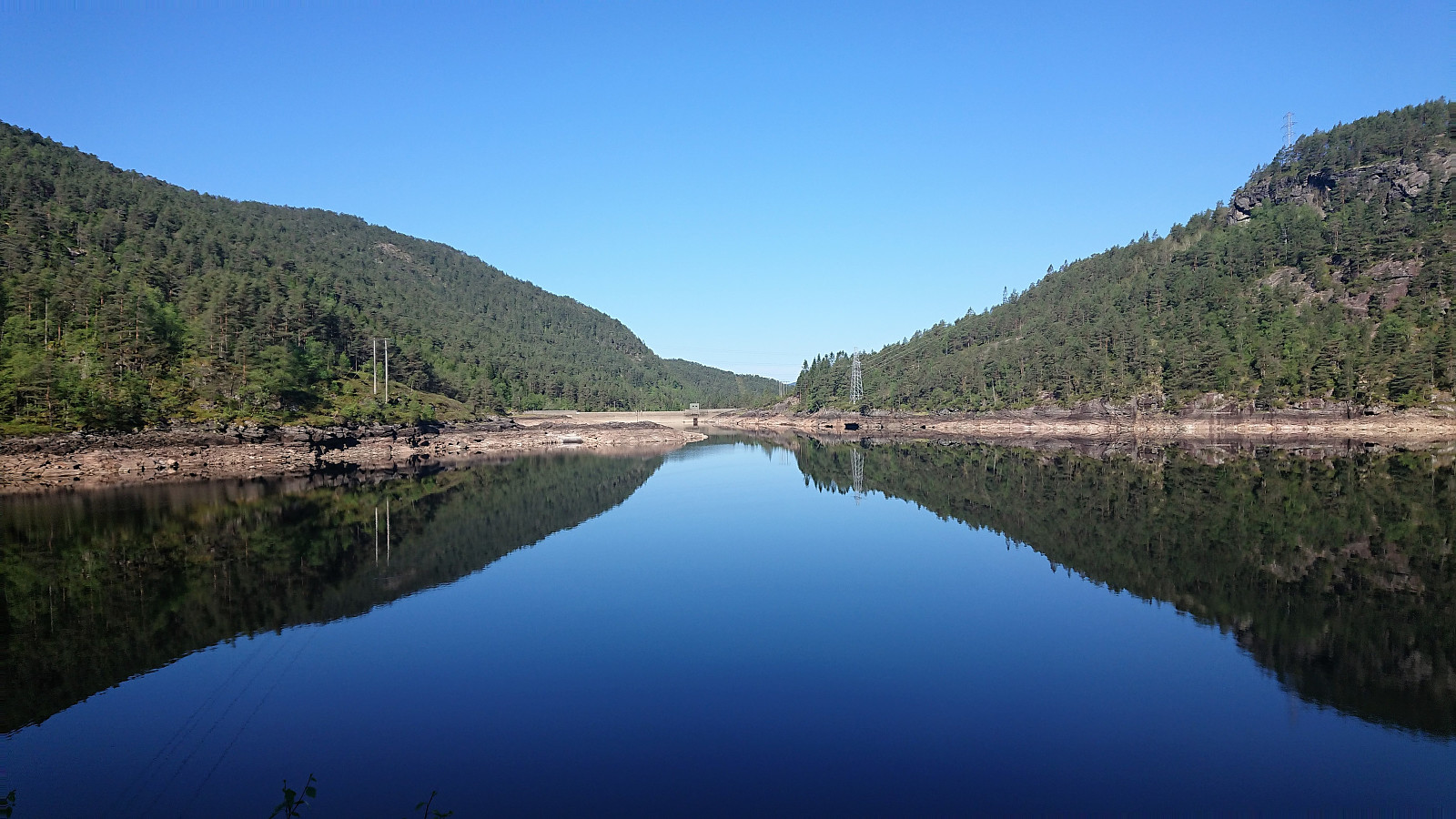
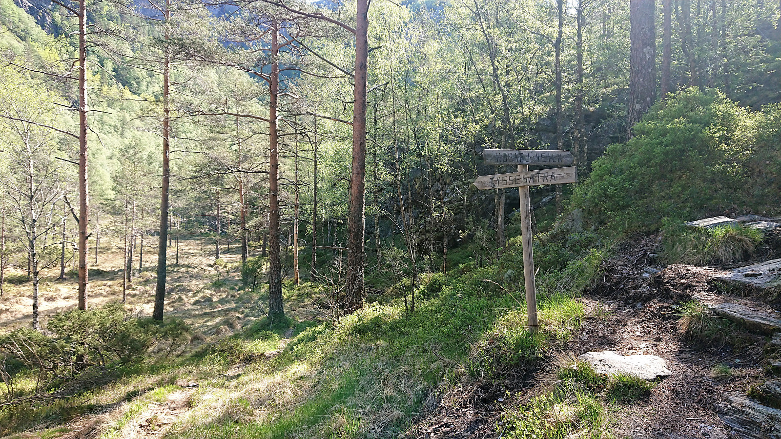
We started from the parking lot at Osvatnet and followed the standard trail up to Kupene. Here we left the main trail and followed the sign for Tyssesætra. However we soon lost the trail and had to search a bit to relocate it, but from there on it was relatively easy to follow. (Seems like the trick may be to turn right when the trail splits when leaving the wet area behind, but as we ended up losing the trail at more or less in the same location on the descent, the trail may simply be weak in this particular area.)
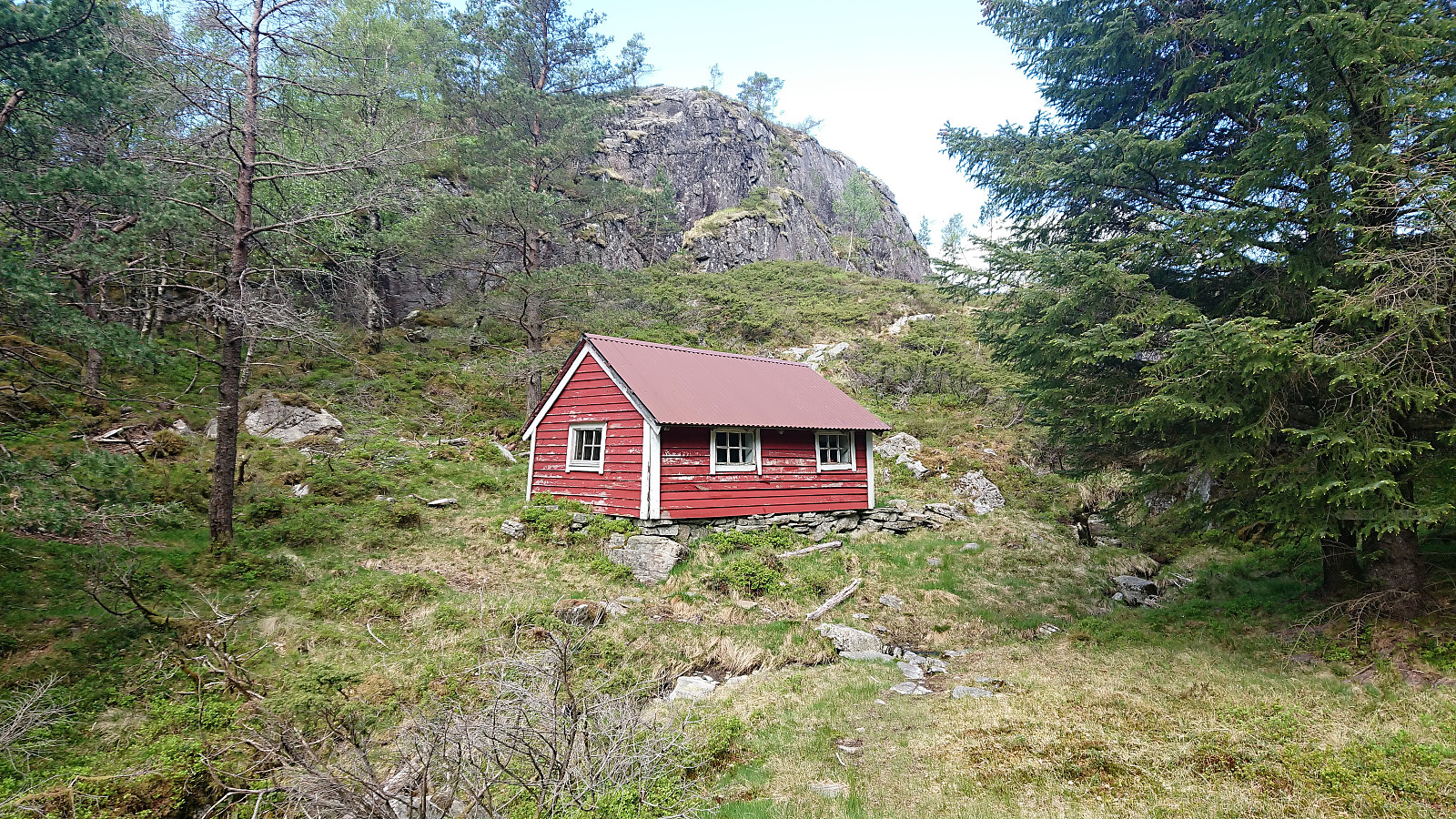
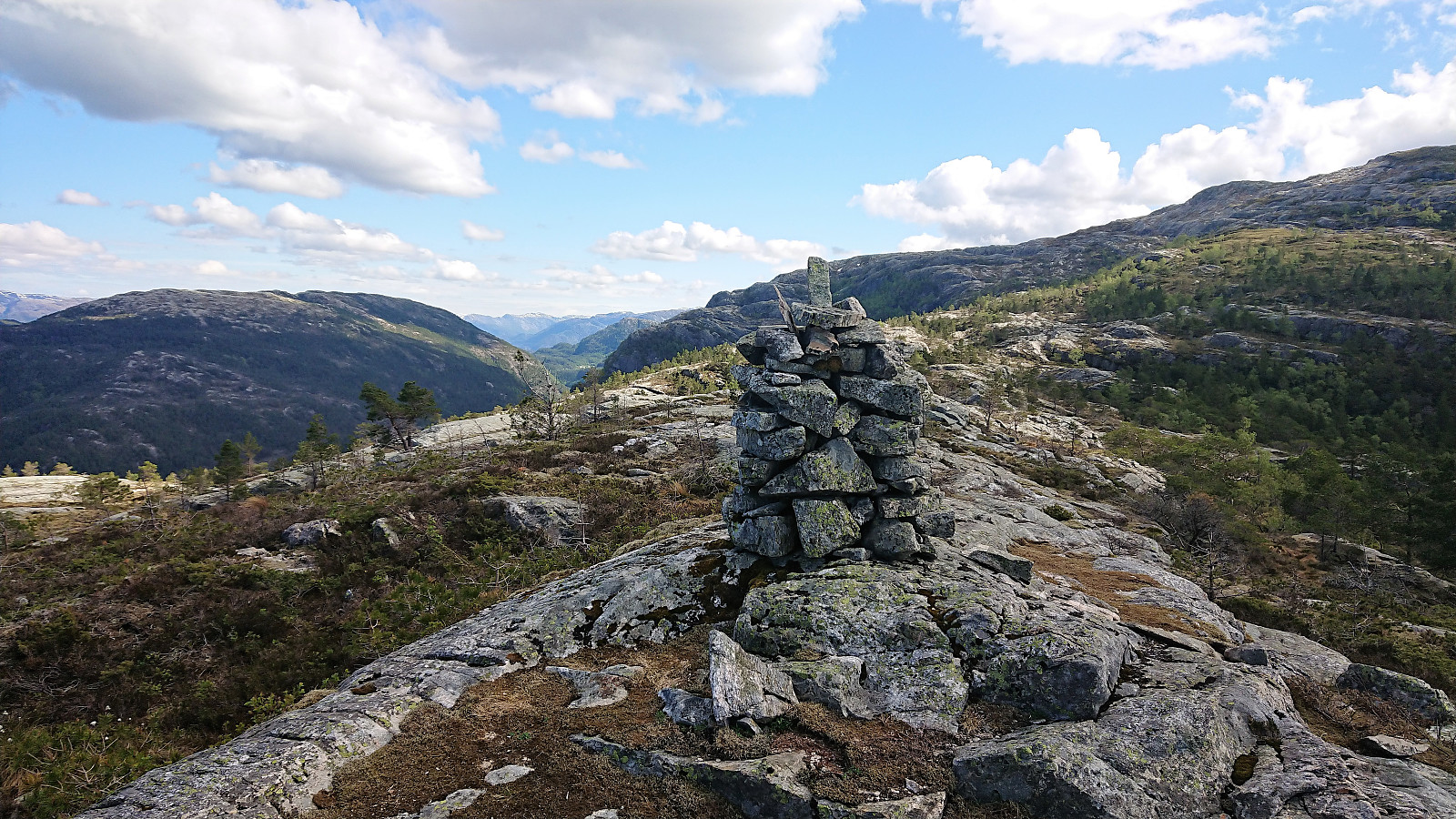
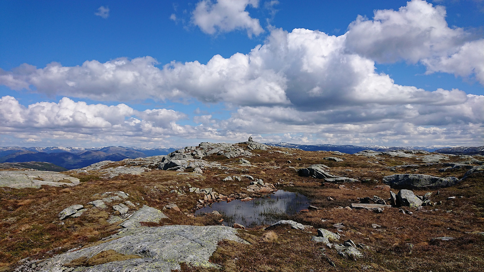
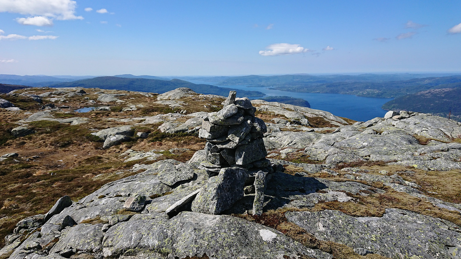
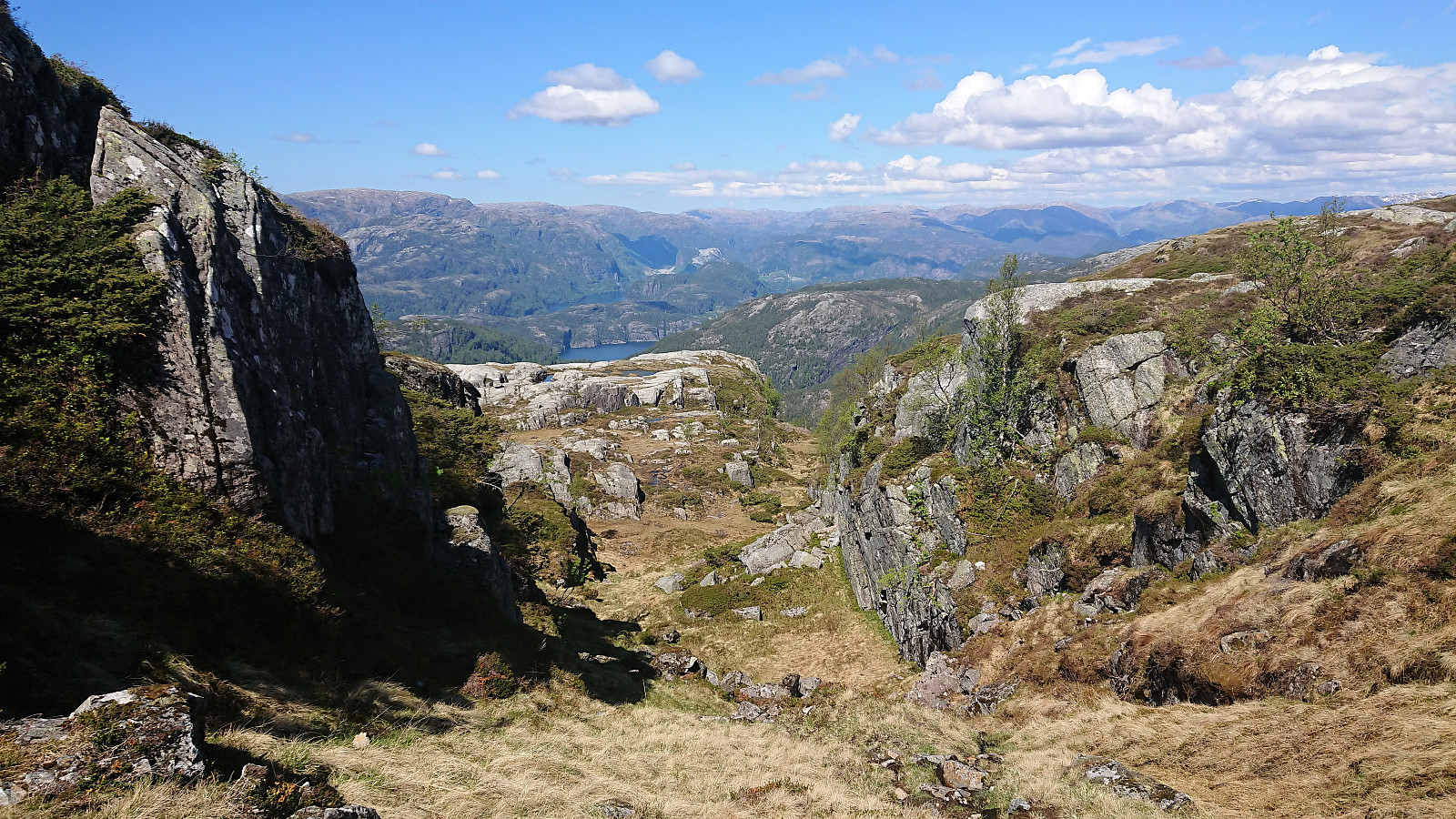
The one cabin at Tyssesætra soon appeared and from there we followed the sign west to Preikestolen. First a long a nice trail, but it more or less disappeared before reaching the summit. At that point it was not really needed anyway. Preikestolen provided nice views, but we did not stay long before continuing towards our main goal of Kvamsfjellet.
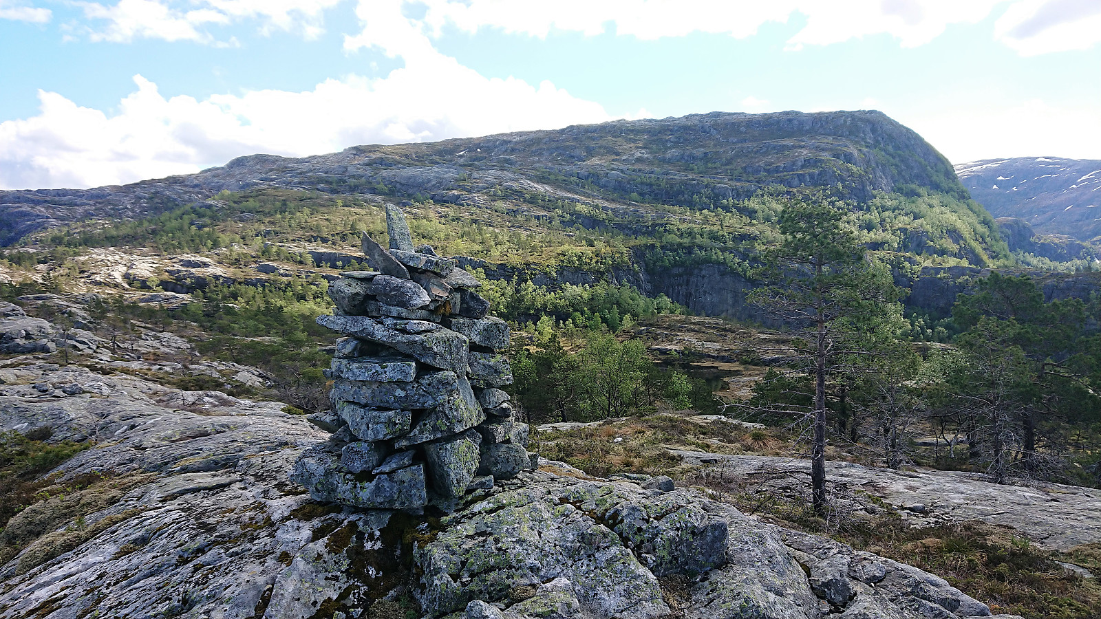
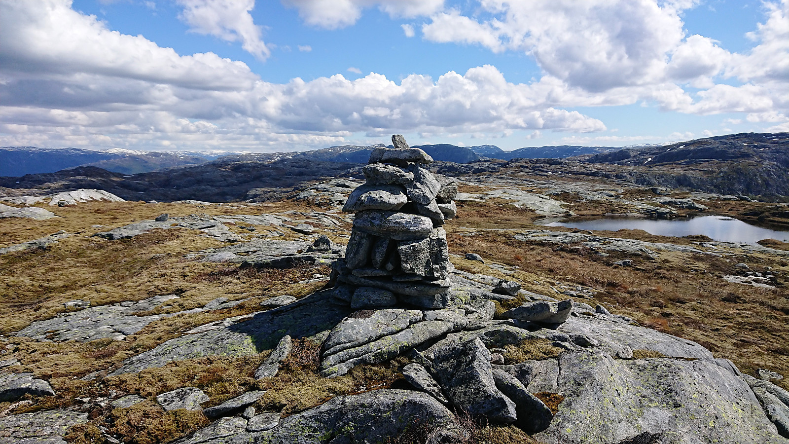
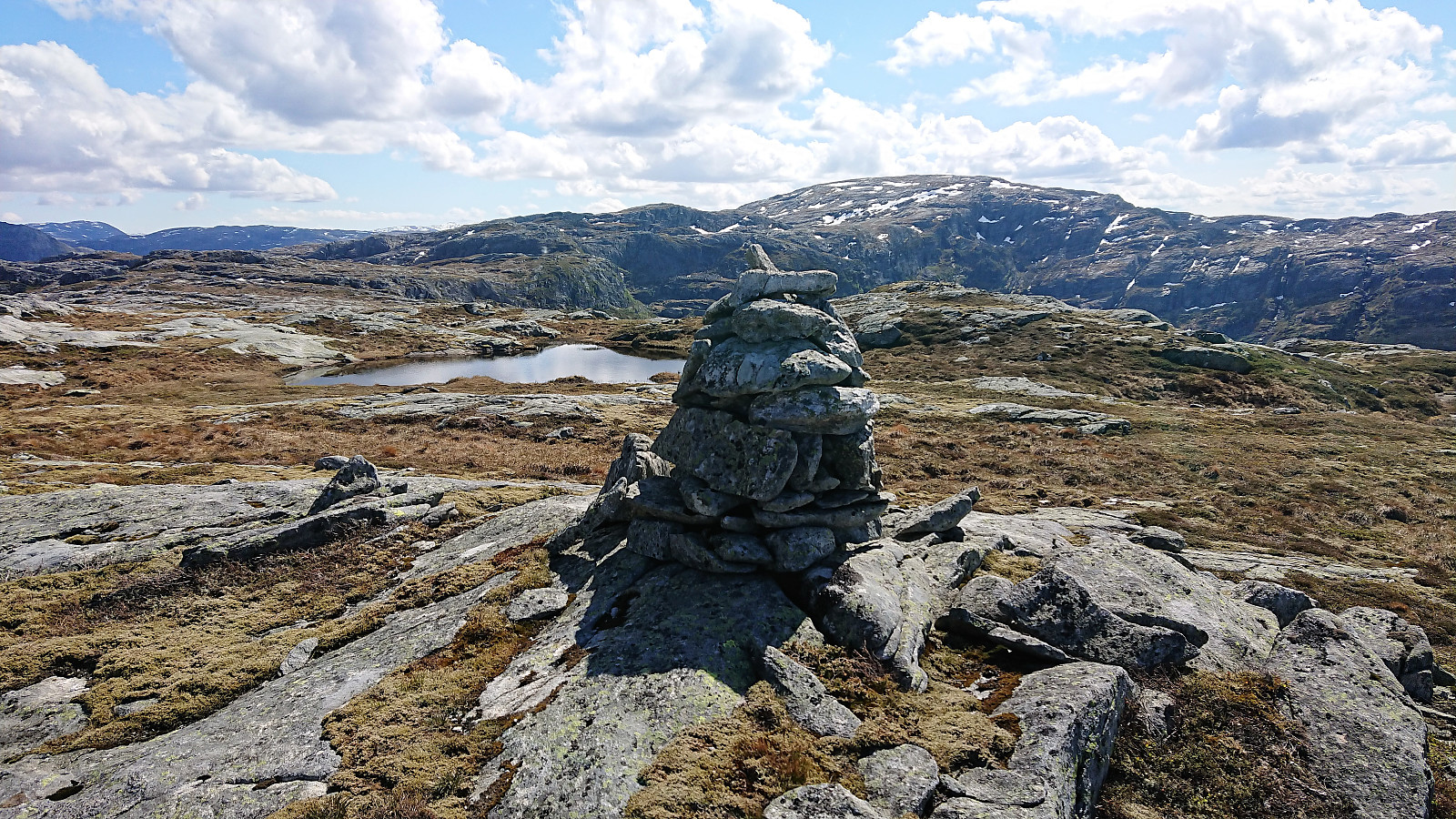
No clear trail at the beginning, but we soon came across cairns which seemed to indicate a trail heading in the right direction. The trail itself was not always easy to see, but it could be followed without any real issues until reaching the small valley to the west of Kvamsfjellet. Here the trail disappeared, and we decided to follow a weak animal track going up on the west side of the valley, which turned out ok, but it would probably have been simpler to head up inside the valley instead (which we did on the descent).
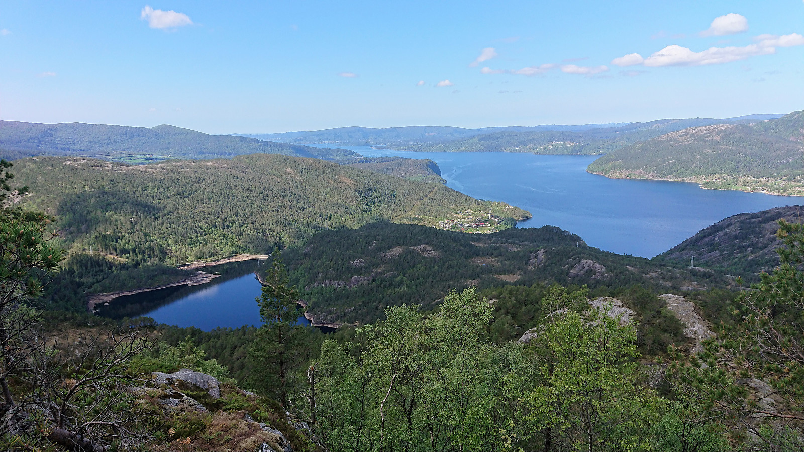
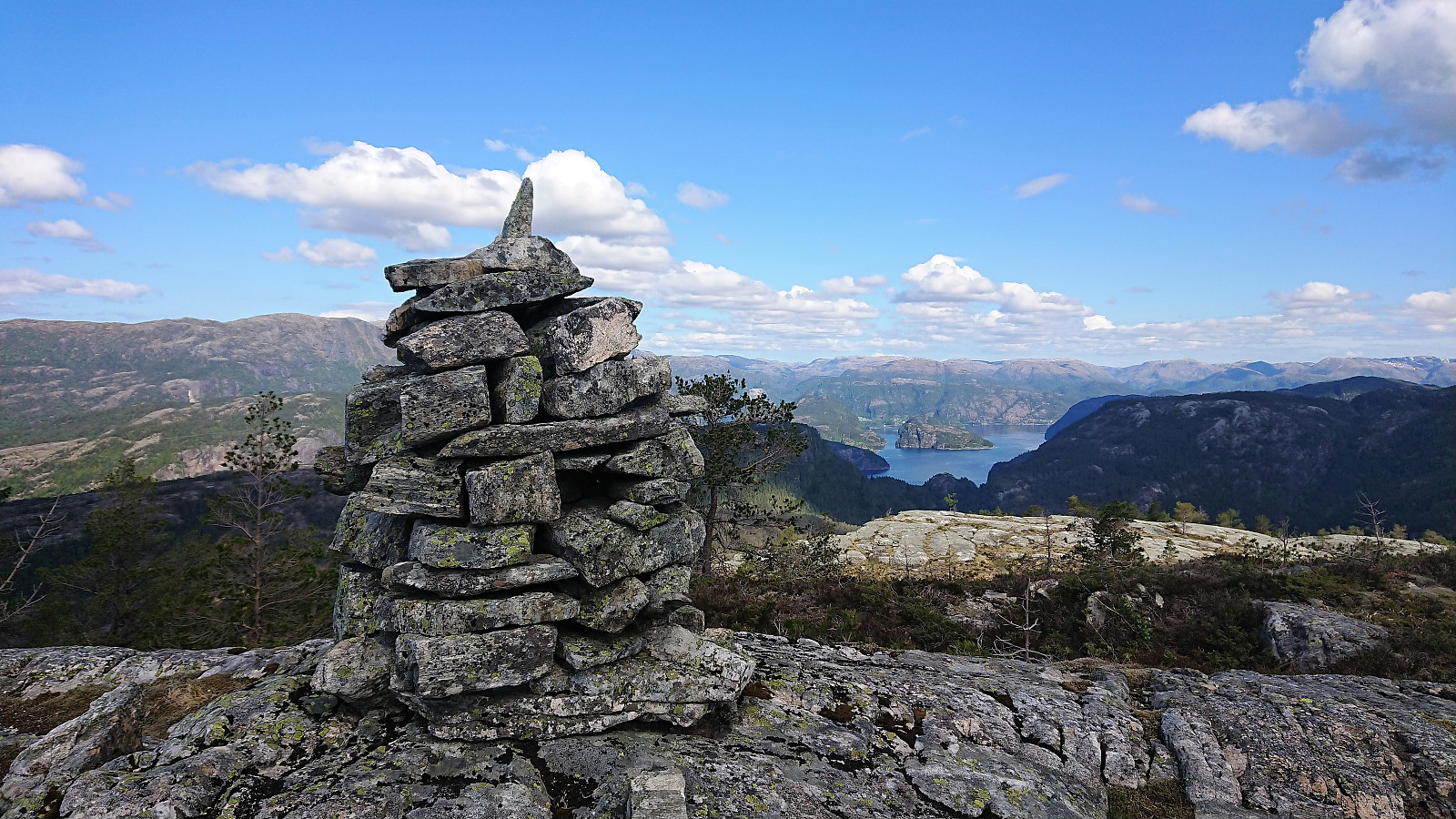
The summit of Kvamsfjellet was then reached without any difficulties, and provided excellent views. After a quick lunch we started our descent, following more or less the same route as for the ascent. We skipped a revisit of Preikestolen though, and instead followed the trail directly to Tyssesætra.
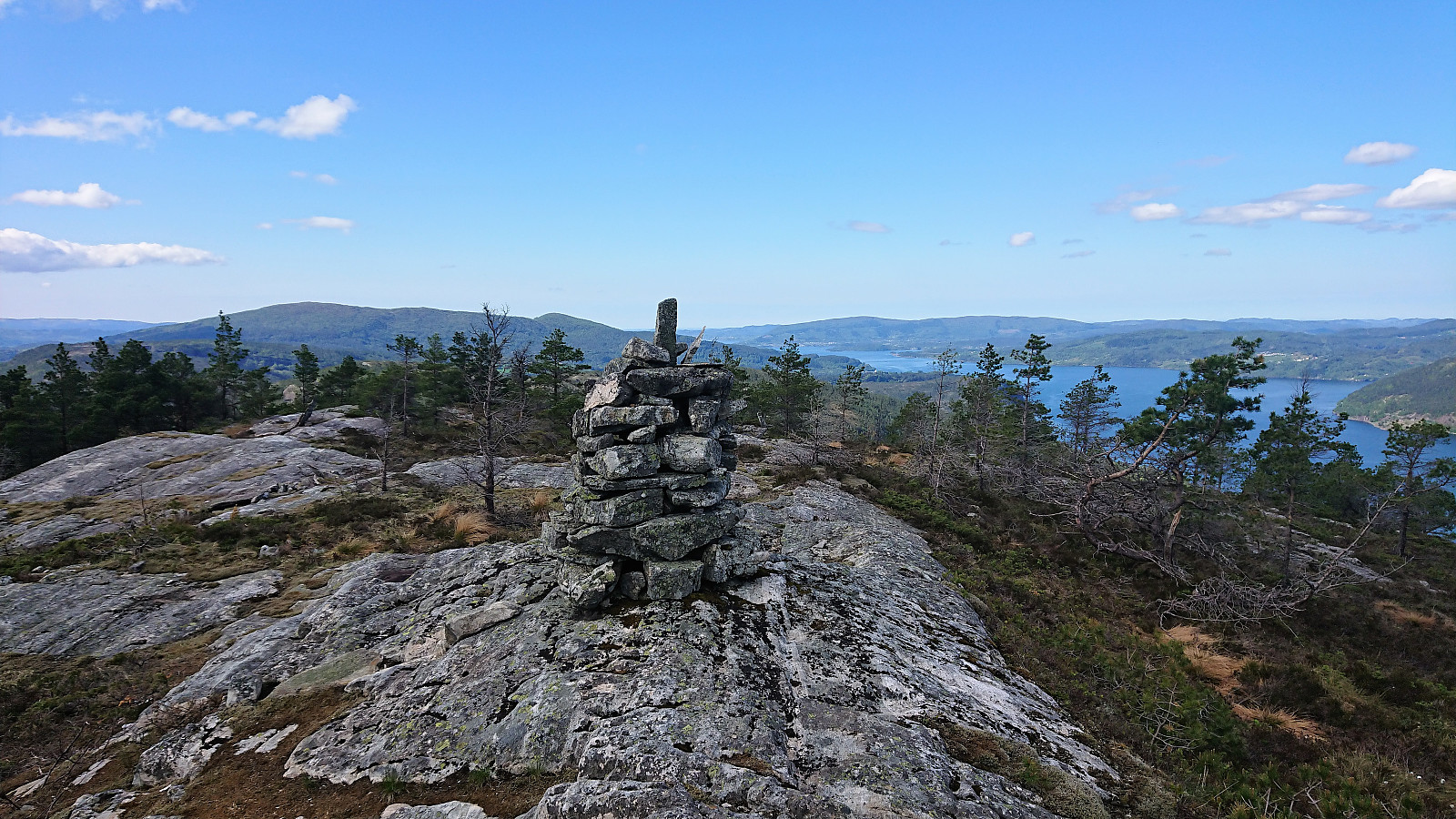
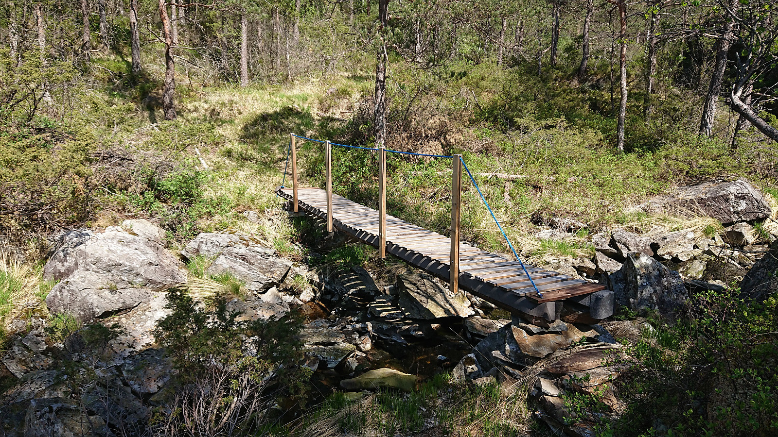
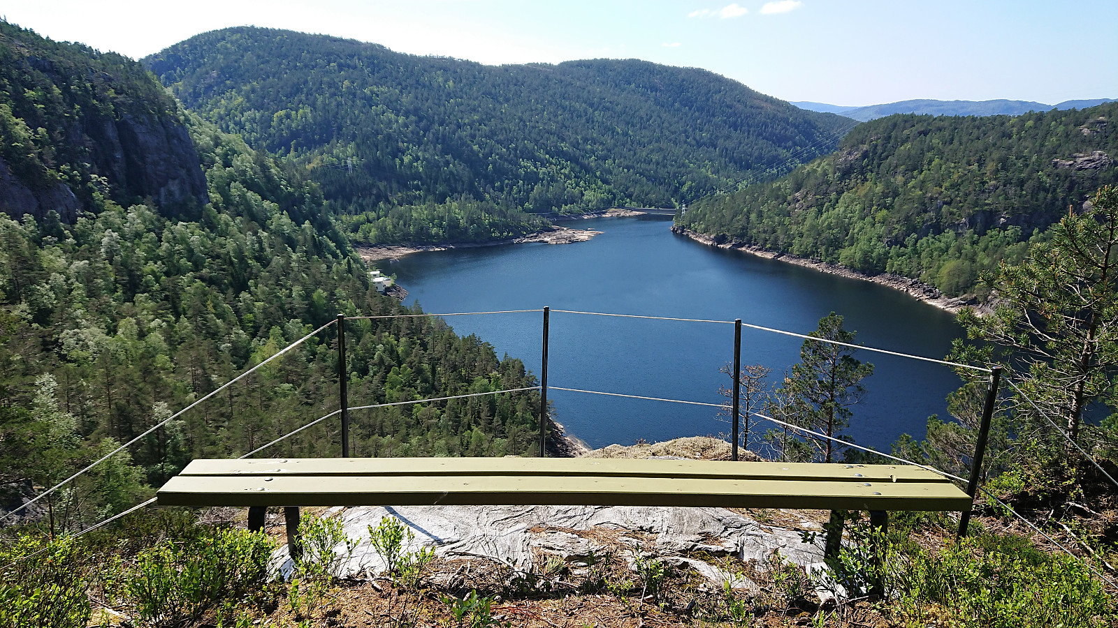
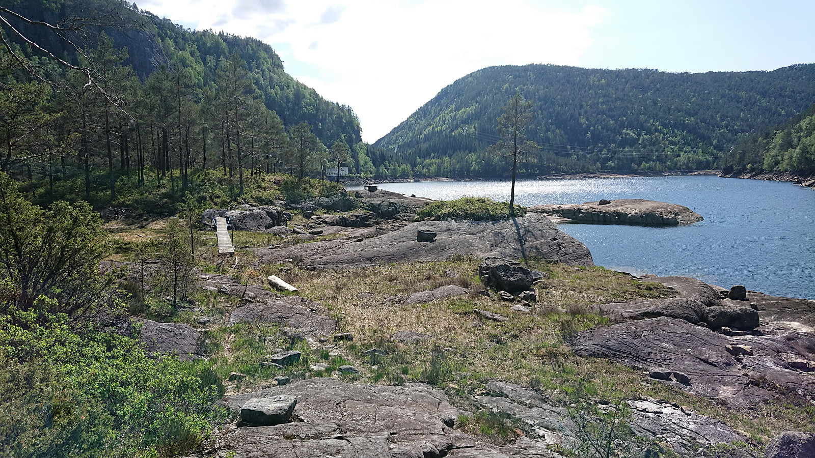
Upon reaching the viewpoint south of Kupelva, we decided to try an alternative descent from there after coming across a relatively new bridge across the river. Shortly after crossing the river we arrived at a spot with an even better view of Osvatnet, also including a small bench. From there the marked trail continued north (although weak at times), finally reaching Storatjønna, from where the trail headed south along Osvatnet.
After re-crossing Kupelva, the trail again started to climb until connecting with the trail we used for the ascent just where the second staircase (counting from the parking lot) begins, and we thus shortly arrived back at the parking lot.
| Start date | 19.05.2019 10:09 (UTC+01:00 DST) |
| End date | 19.05.2019 15:22 (UTC+01:00 DST) |
| Total Time | 5h 12min |
| Moving Time | 4h 24min |
| Stopped Time | 0h 48min |
| Overall Average | 2.0km/h |
| Moving Average | 2.4km/h |
| Distance | 10.5km |
| Vertical meters | 812m |


User comments