
Kongsfjellet via boat from Bergen (12.05.2019)

Written by hbar (Harald Barsnes)

| Start point | Bekkjarvik kai |
|---|---|
| Endpoint | Bekkjarvik kai |
| Characteristic | Hillwalk |
| Duration | 2h 28min |
| Distance | 6.3km |
| Vertical meters | 281m |
| GPS |
|
| Ascents | Kongsfjellet (186m) | 12.05.2019 |
|---|---|---|
| Visits of other PBEs | Kongsfjellet - høyeste punkt (185m) | 12.05.2019 |
Kongsfjellet via boat from Bergen
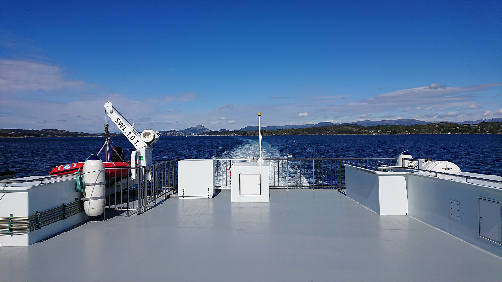
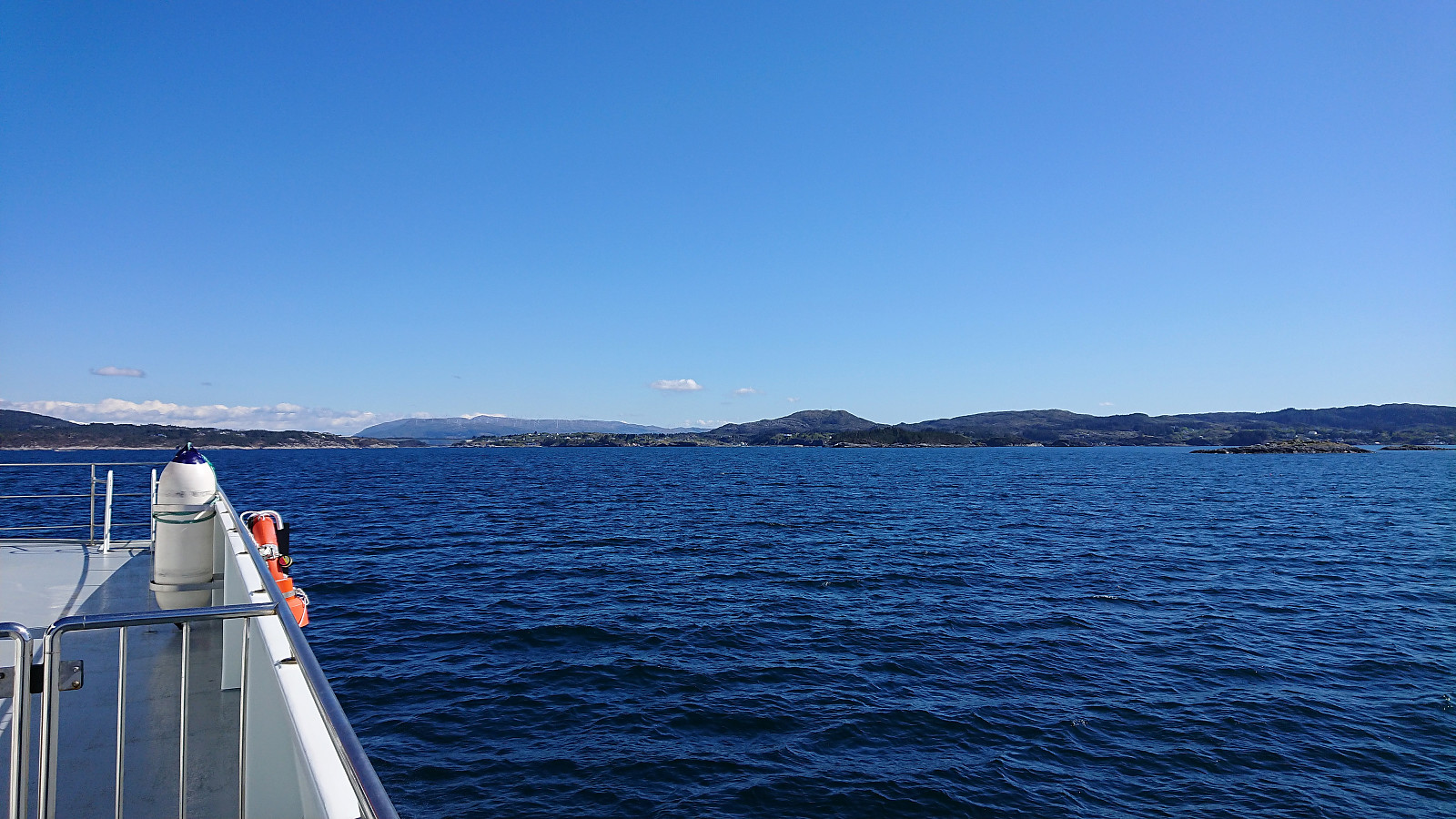
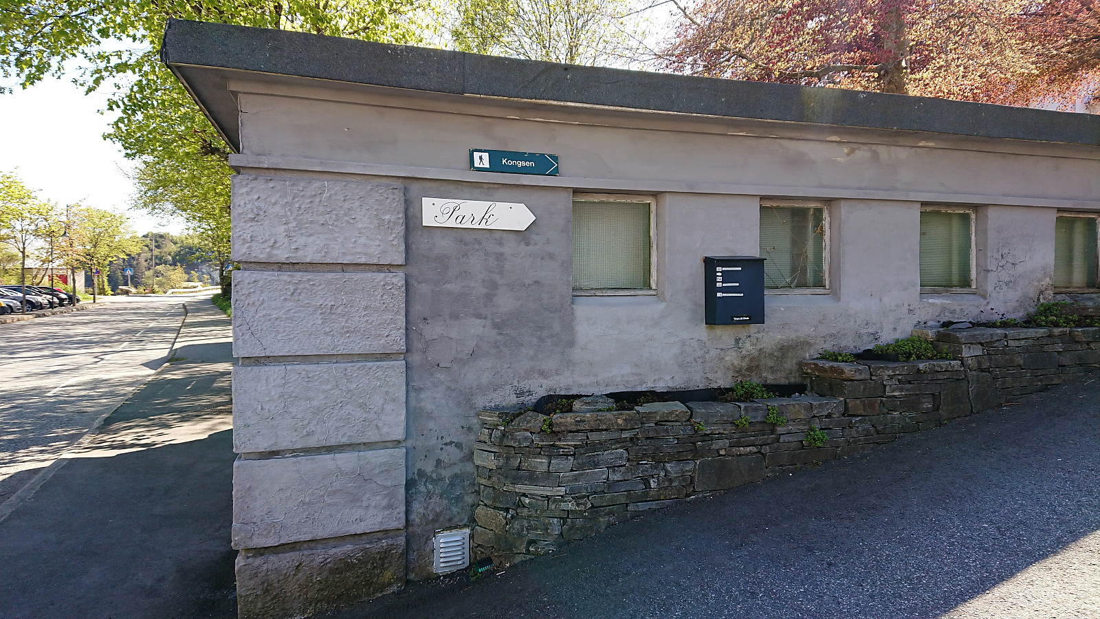
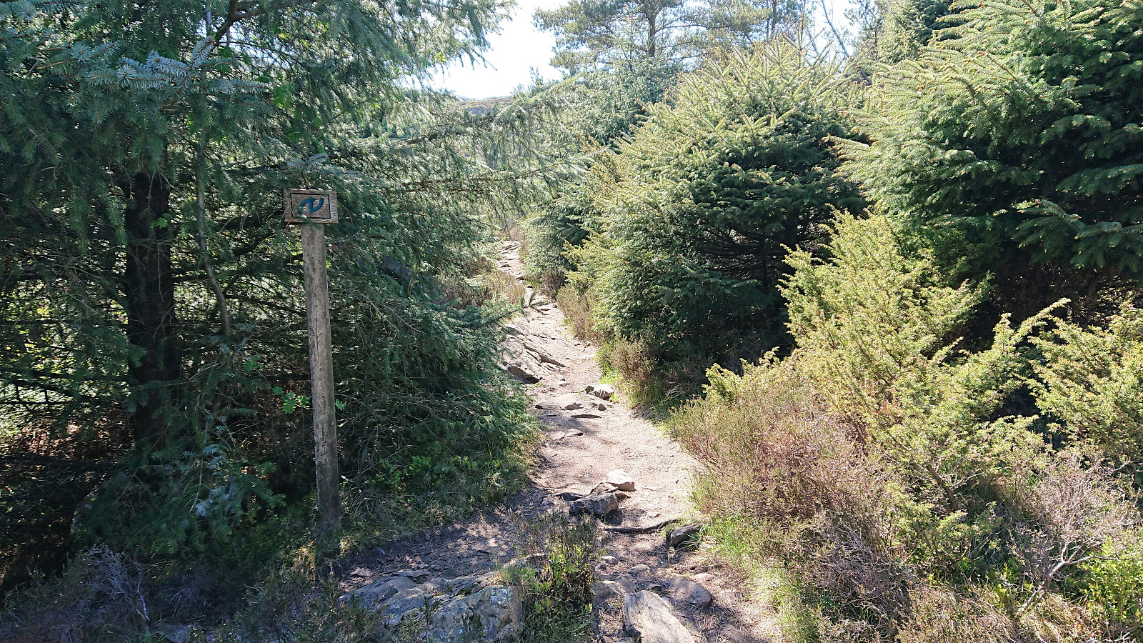
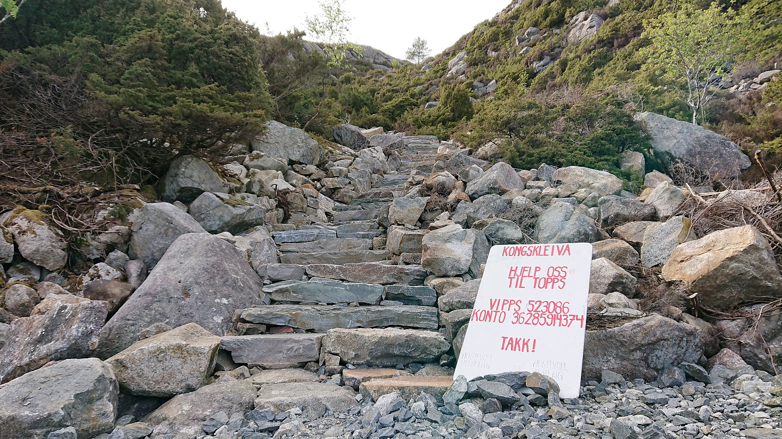
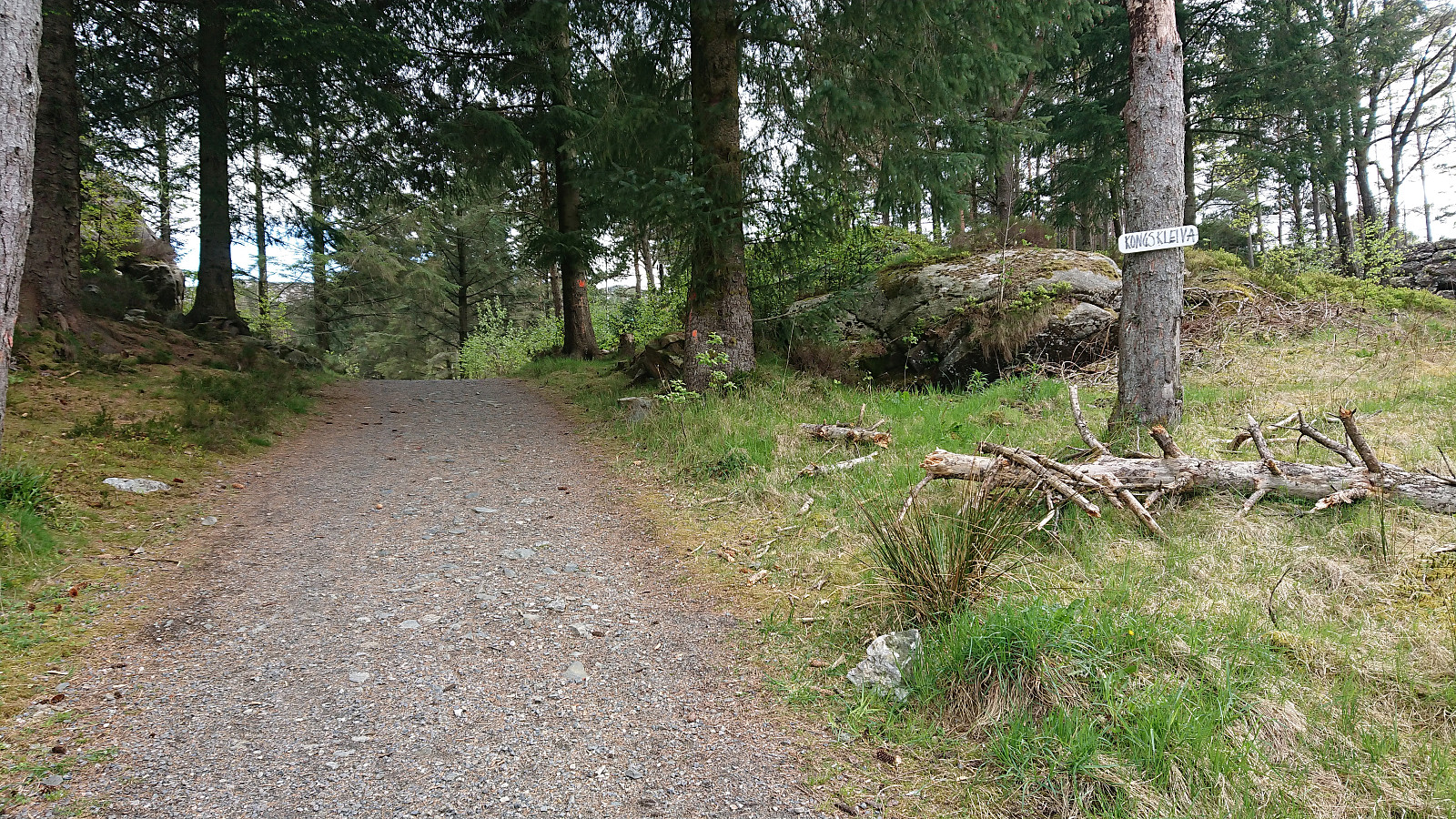
The trip started by taking the boat from Strandkaiterminalen in Bergen to Bekkjarvik, which took around one hour and provided excellent views along the way. Shortly after disembarking, we came across a hiking sign for "Kongsen", which we assumed was short for Kongsfjellet. Did not see any additional signs though, except for a sign for Kongskleiva (which we did not follow, but which we will come back to later), but soon arrived at the football field north of Kongsfjellet where we easily located the trailhead, marked with the familiar blue "N" for "Nordsjøløypa".
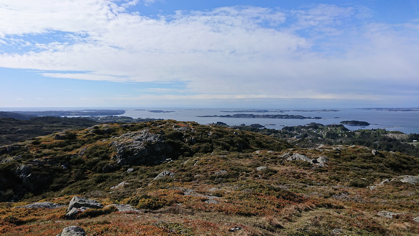
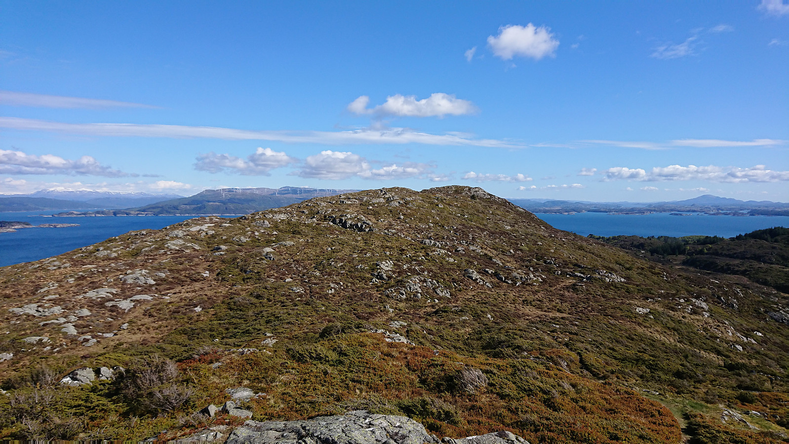
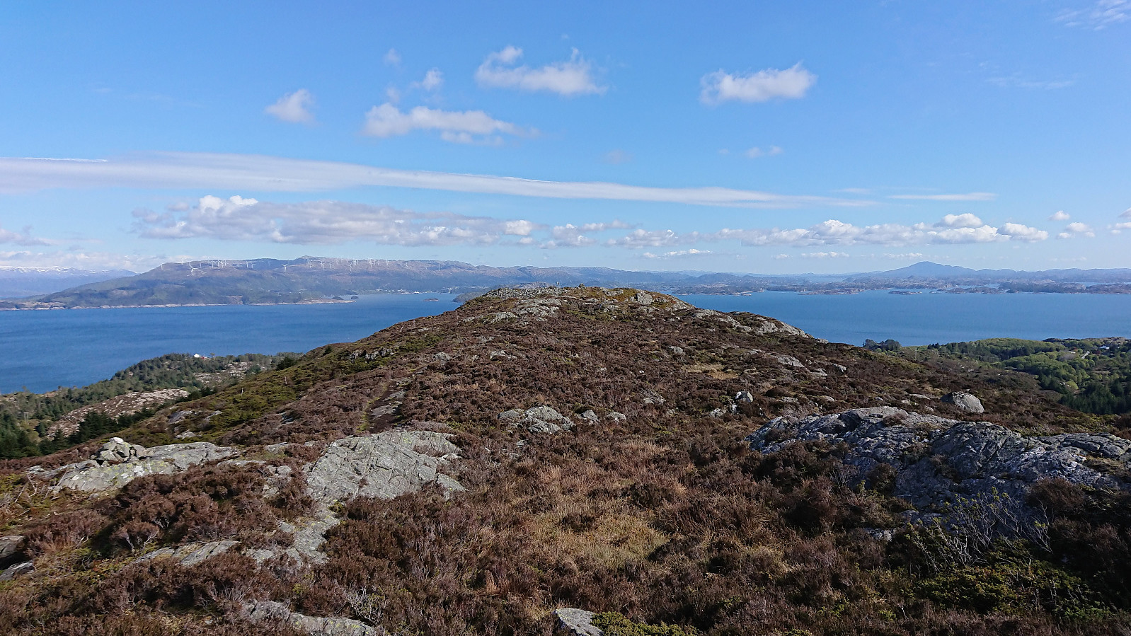
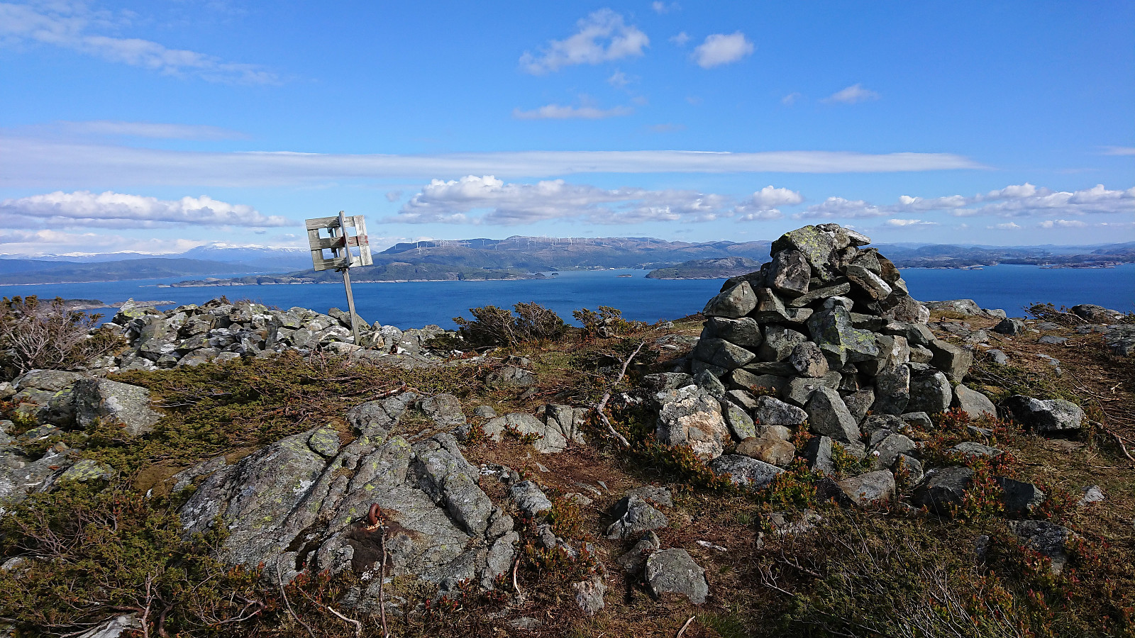
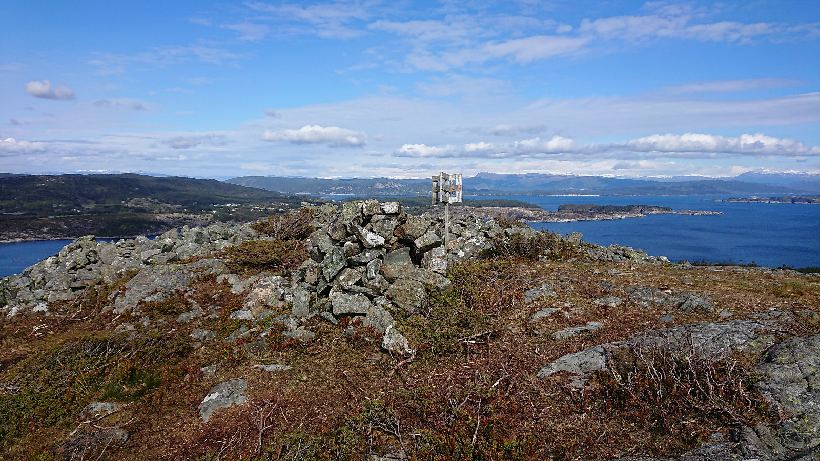
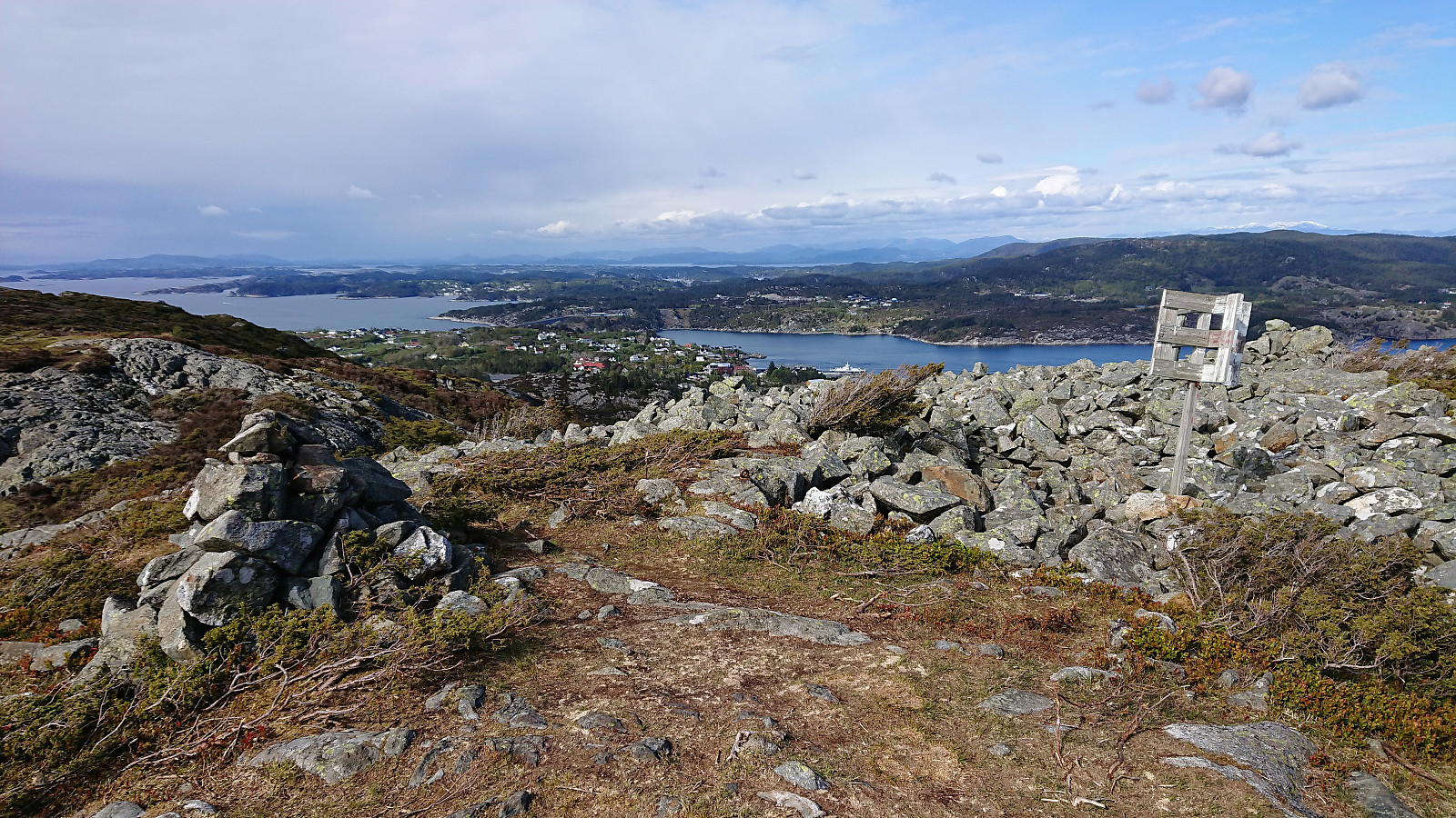
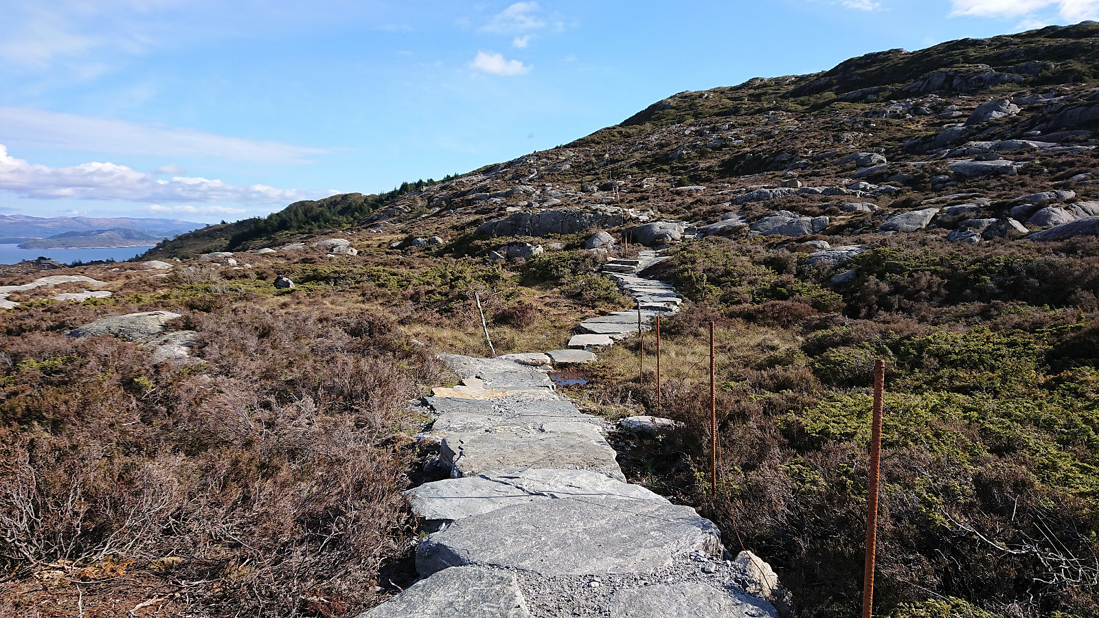
From there on it was straightforward to follow the trail all the way to Kongsfjellet, enjoying the rapidly improving views. The summit itself provided excellent views in all directions. We still had plenty of time to spare until the planned boat back to Bergen, so we continued south along the ridge for a bit longer, before turning back at Fjellsenden. We briefly considered going even further south, as there was a trail indicated on the map, but the actual trail pretty much ended at Fjellsenden as far as we could see.
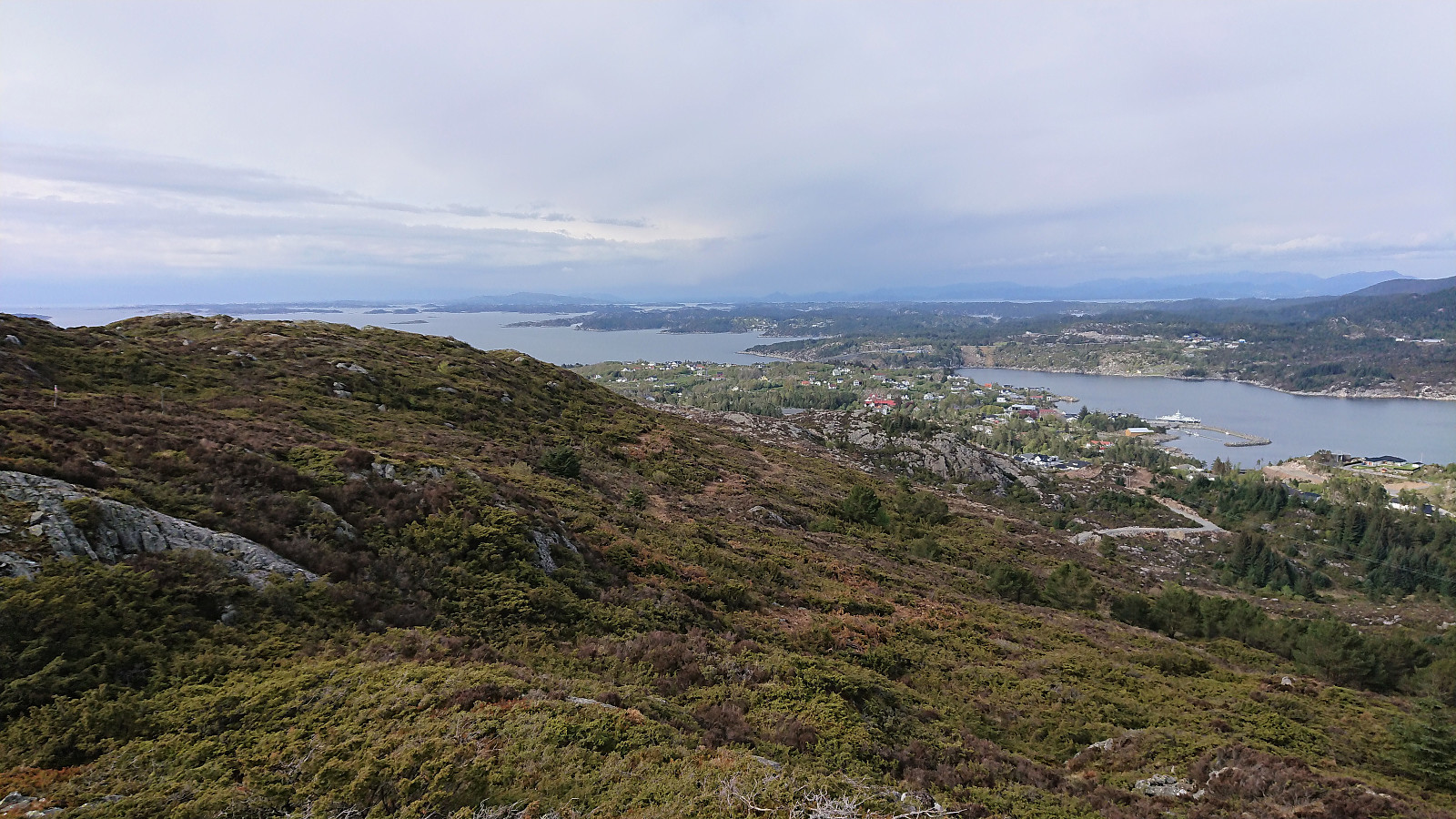
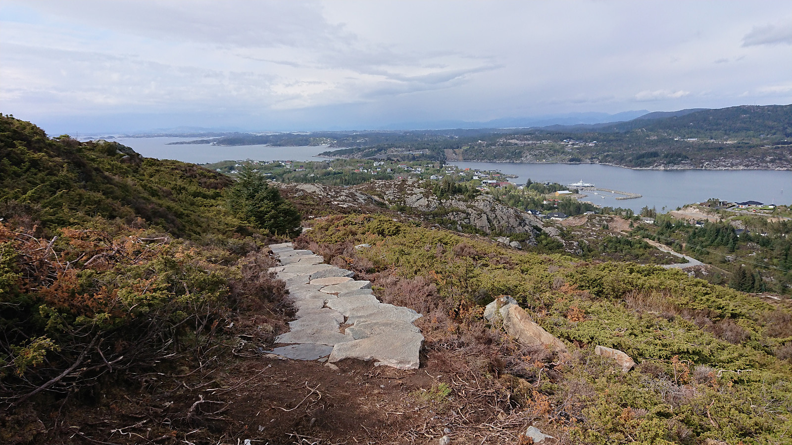
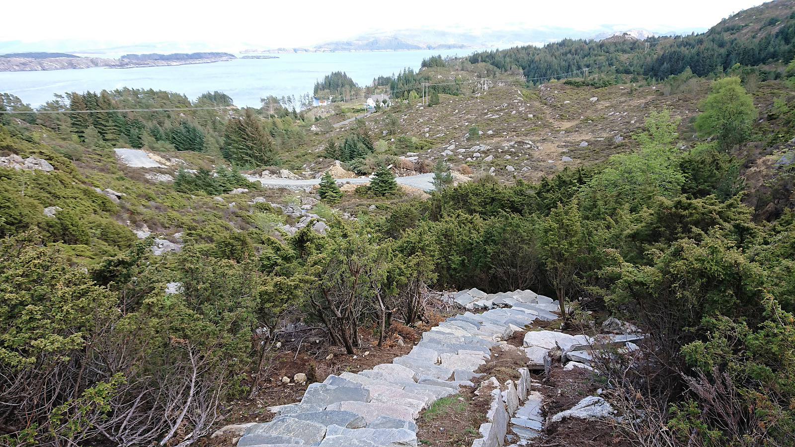
We then returned to the summit, but instead of returning northwest, we found what appeared to be a relatively new trail heading more or less directly north, and decided to give it a go. The first stretch was a bit wet and not of the best quality, but this would soon change, as the trail turned into lots of very nice stone steps that would take us all the way down to a new gravel road coming up from Alvamyrvegen. This turned out to be the above-mentioned Kongskleiva, which probably soon will be extended all the way to the summit.
The hike was concluded by walking along the roads back to Bekkjarvik for the boat back to Bergen. Overall an excellent trip that can be highly recommended!
| Start date | 12.05.2019 15:46 (UTC+01:00 DST) |
| End date | 12.05.2019 18:14 (UTC+01:00 DST) |
| Total Time | 2h 28min |
| Moving Time | 2h 07min |
| Stopped Time | 0h 21min |
| Overall Average | 2.6km/h |
| Moving Average | 3.0km/h |
| Distance | 6.3km |
| Vertical meters | 281m |


User comments