
Synnevaskjer from Rindabotn (15.04.2019)

Geschrieben von hbar (Harald Barsnes)

| Startpunkt | Rindabotn (598m) |
|---|---|
| Endpunkt | Rindabotn (598m) |
| Tourcharakter | Tourenskilauf |
| Tourlänge | 5h 06min |
| Entfernung | 22,2km |
| Höhenmeter | 1.113m |
| GPS |
|
| Besteigungen | Synnevaskjer (1.543m) | 15.04.2019 |
|---|---|---|
| Besuche anderer PBE | Britabu (963m) | 15.04.2019 |
| Rindabotn p-plass (595m) | 15.04.2019 |
Synnevaskjer from Rindabotn
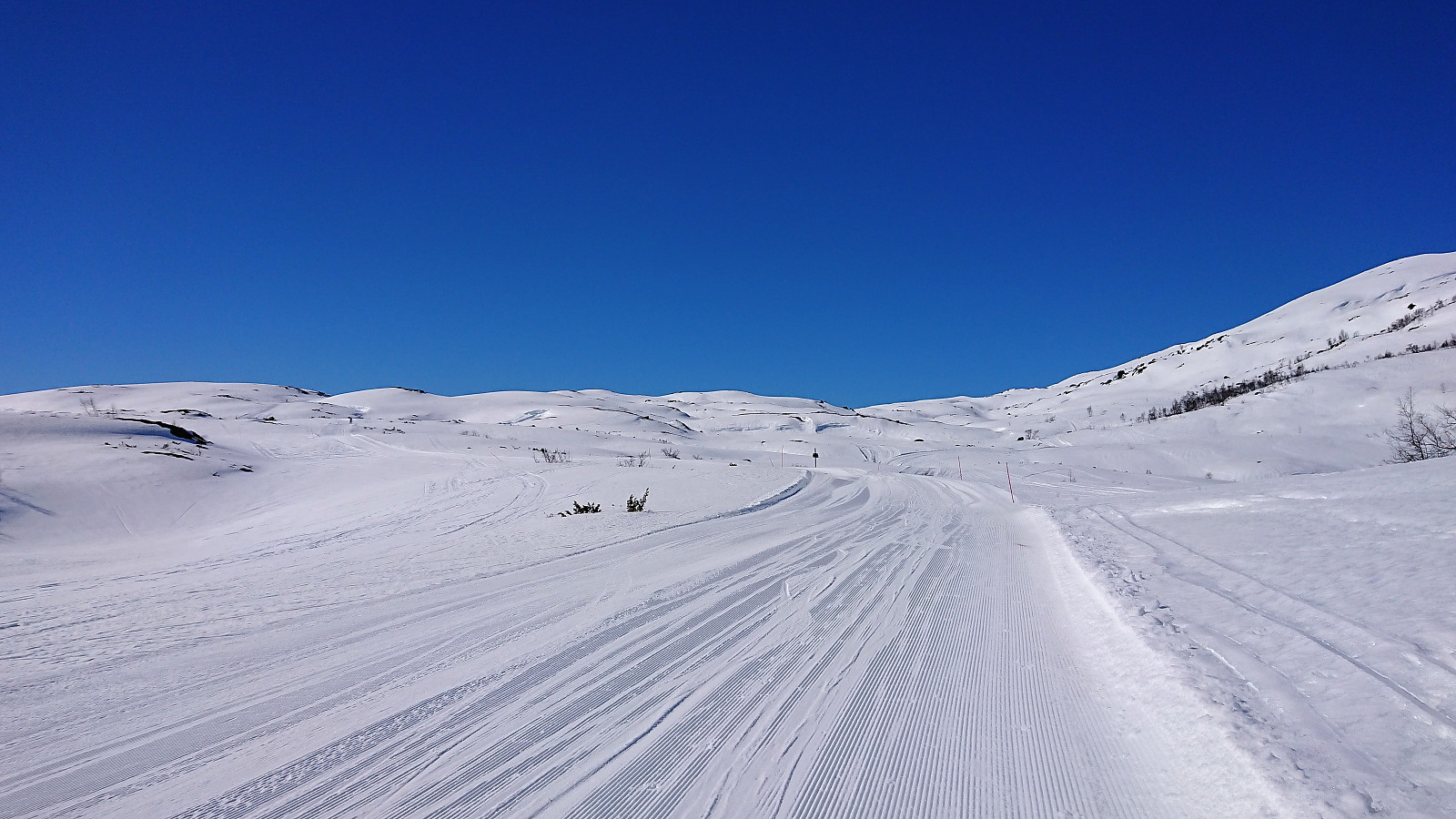
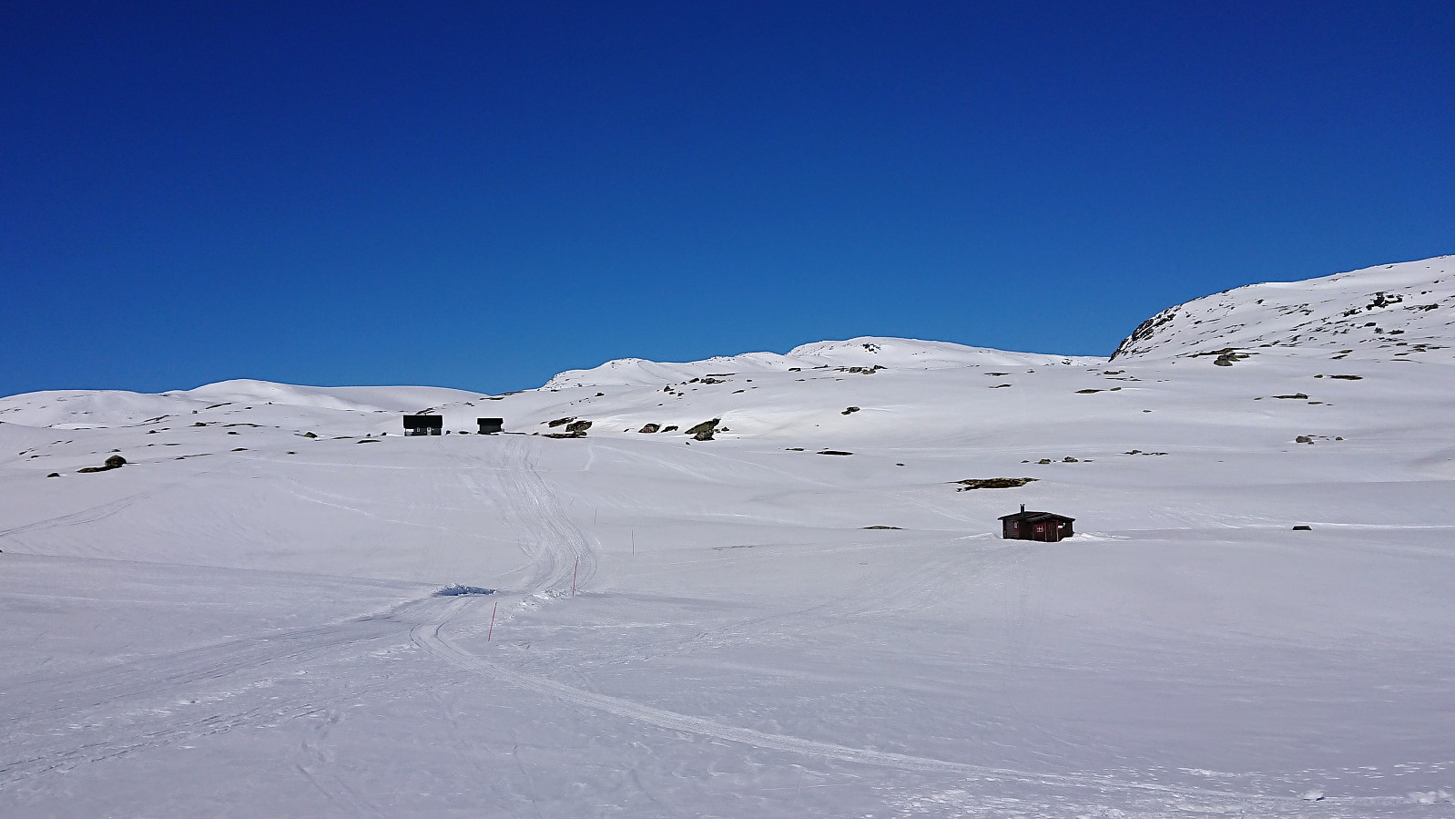
I followed the marked ski trail to Høgehaug but turned north just before reaching the summit, passing by the Red Cross cabin Britabu next to Britasteinen, from where I started the real ascent to Synnevaskjer. There were a couple of old tracks in the snow that I could follow, but when the these split I chose the wrong tracks and ended up with a minor detour before finally heading around Vetla Trastadalsvatnet on the northern side as planned.
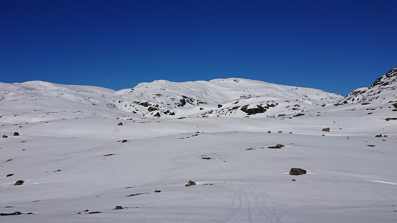
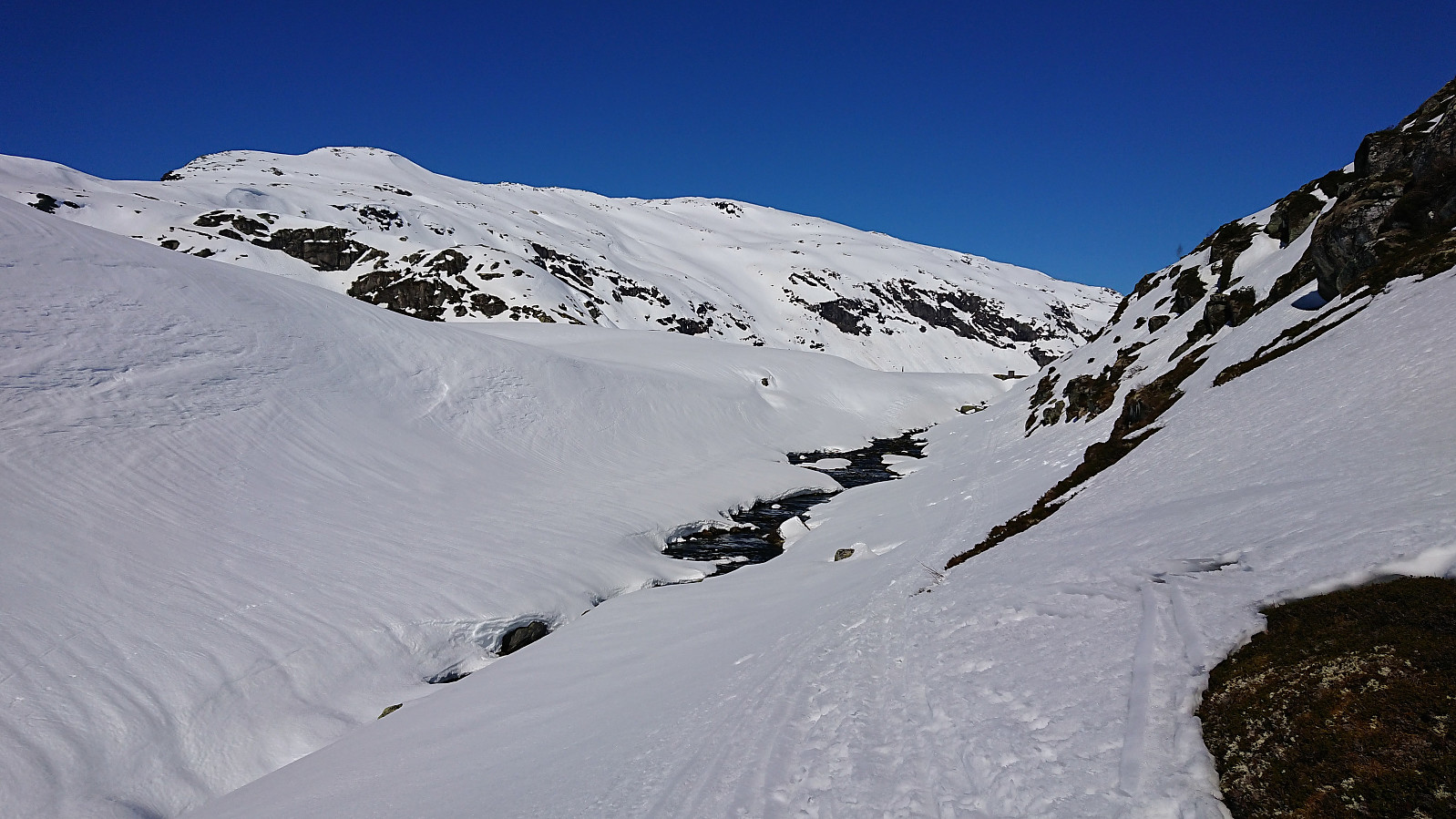
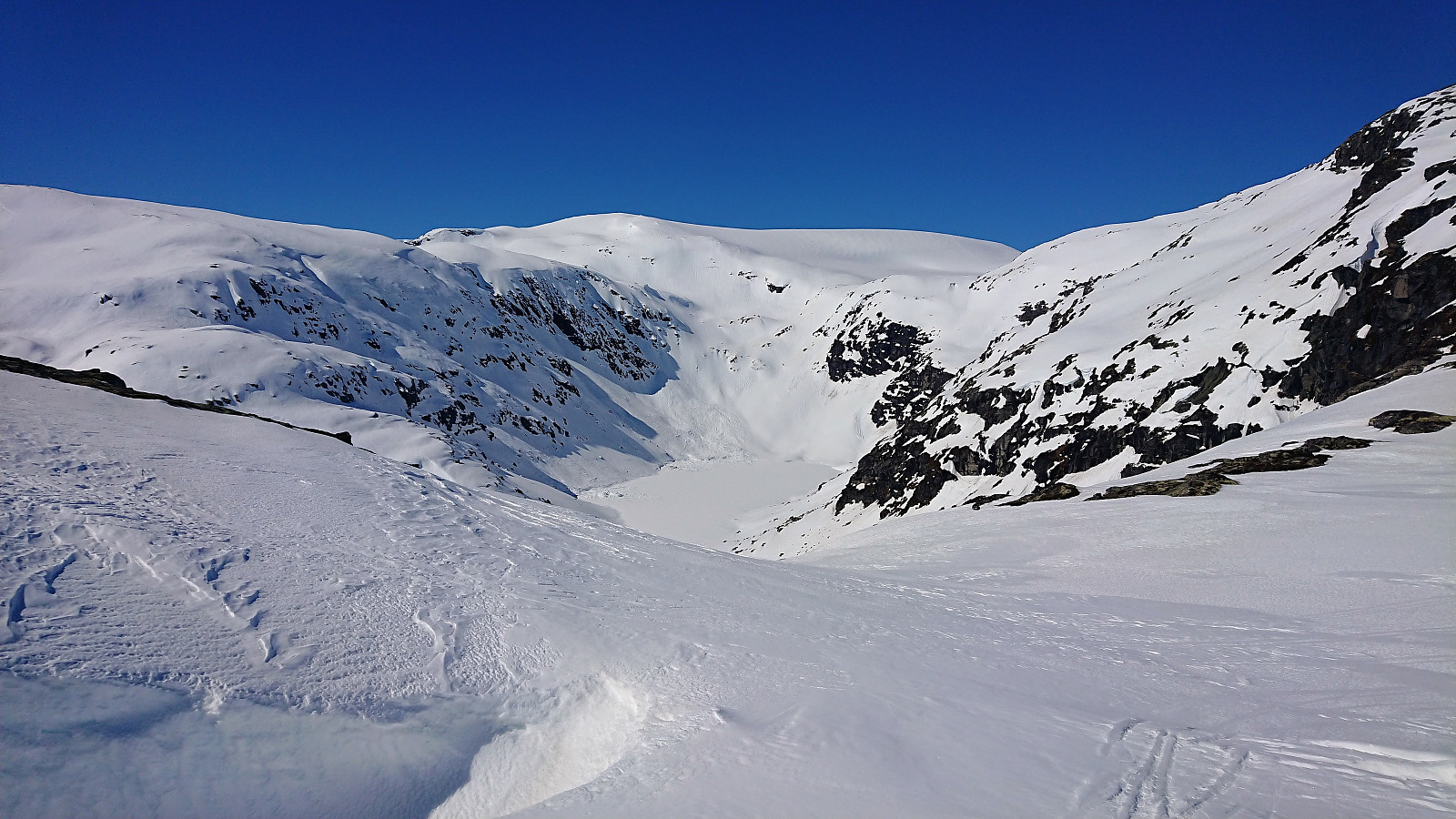
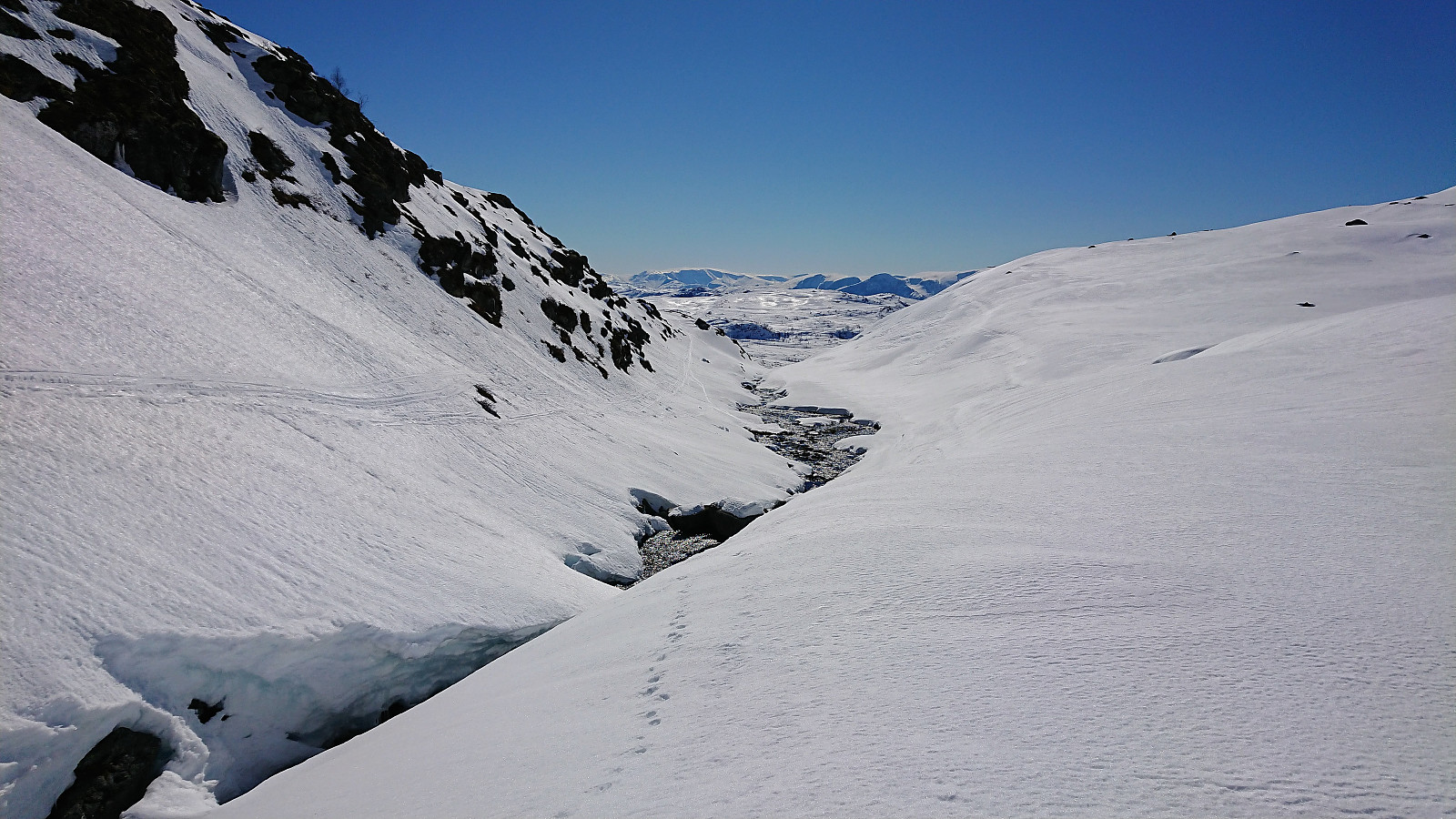
Upon entering the narrow valley of Trastadalen I was a bit concerned about the overhanging snow on the western side of the valley, but thankfully there was much less snow on the eastern side and I thus made it to Store Trastadalsvatnet without any issues. But clearly a spot to watch out for if visiting under more challenging conditions!
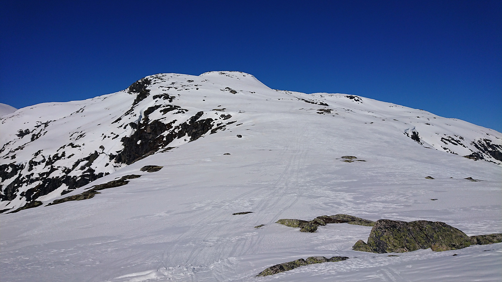
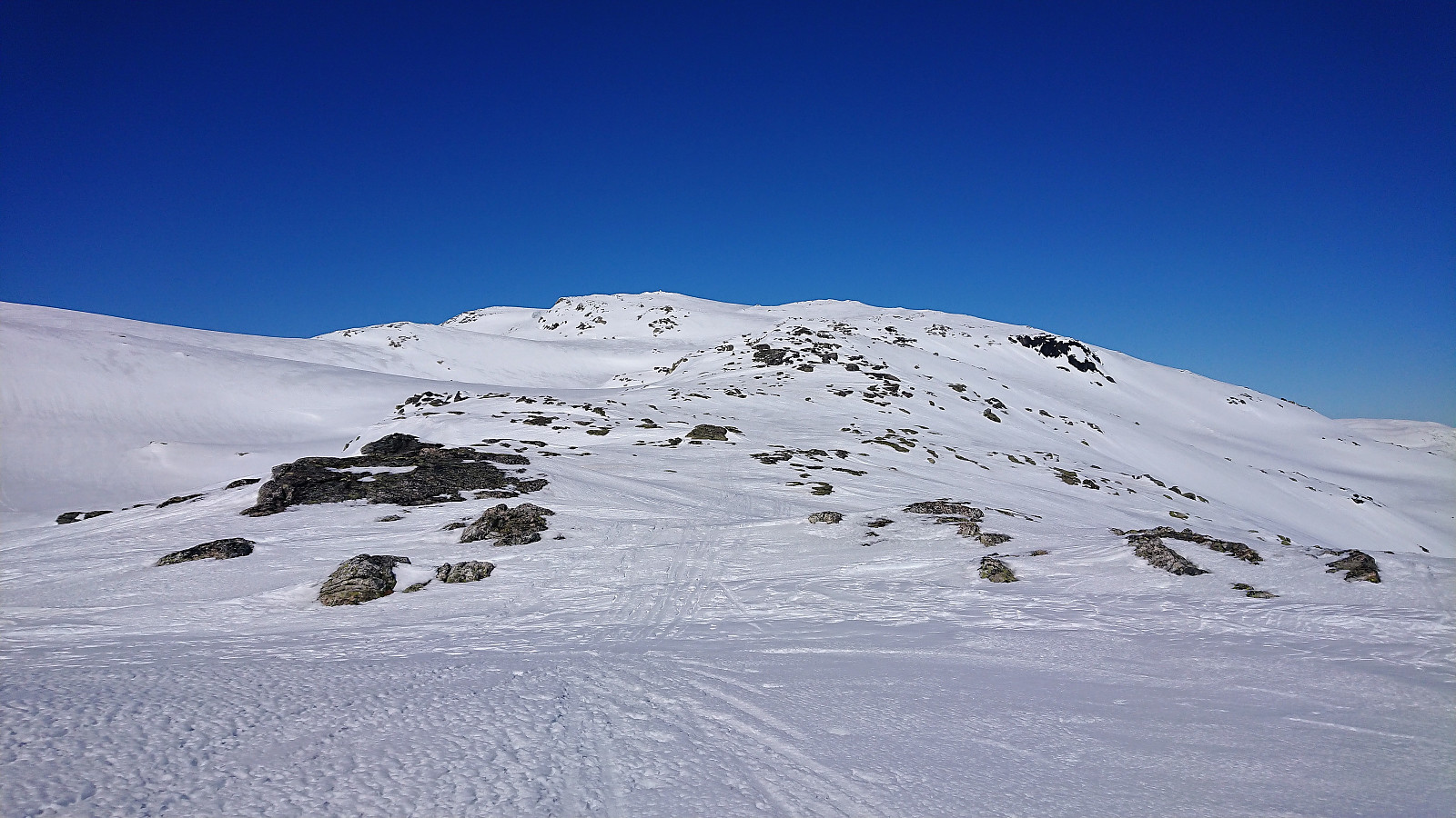
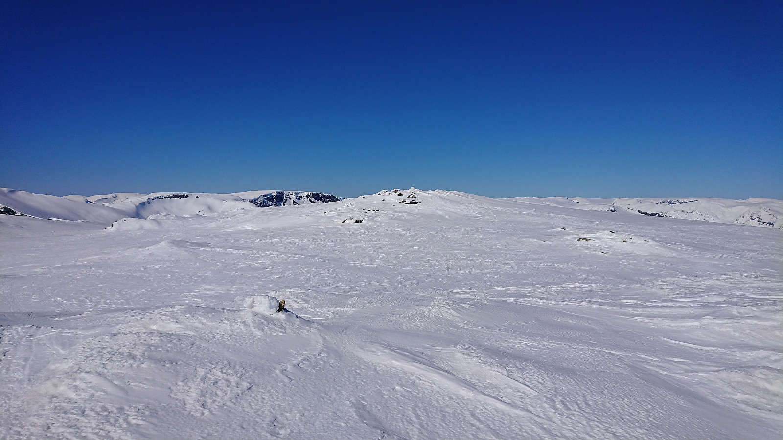
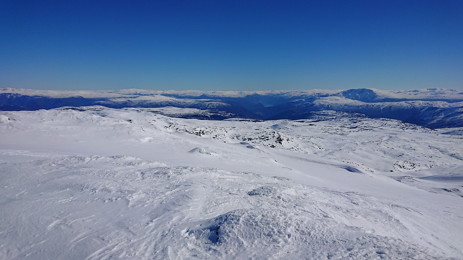
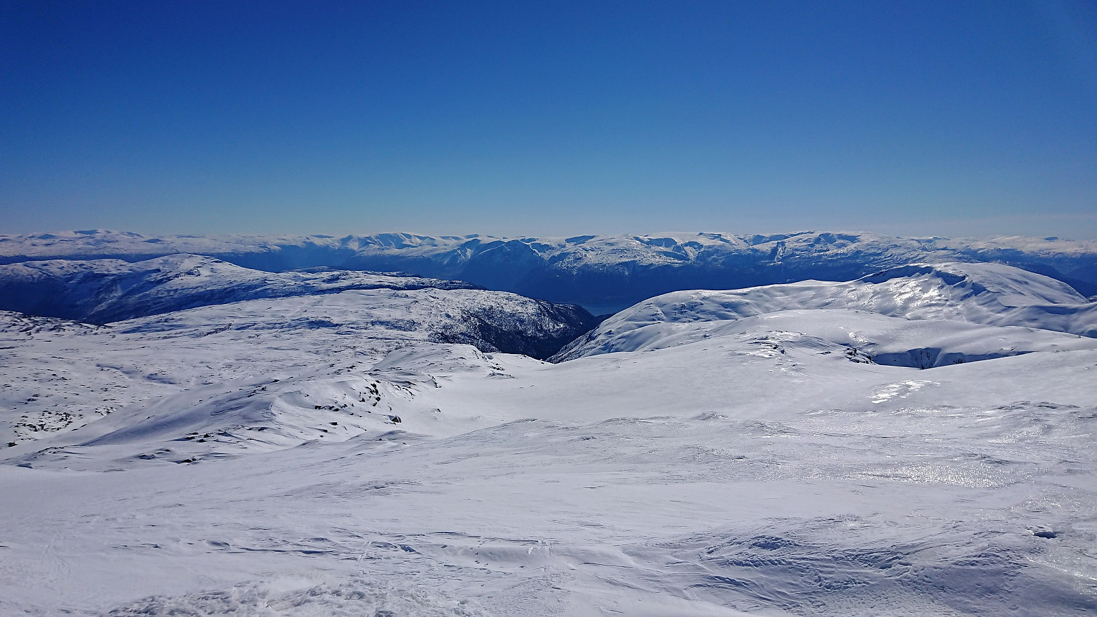
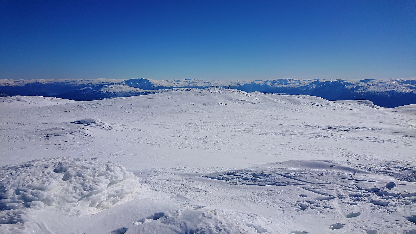
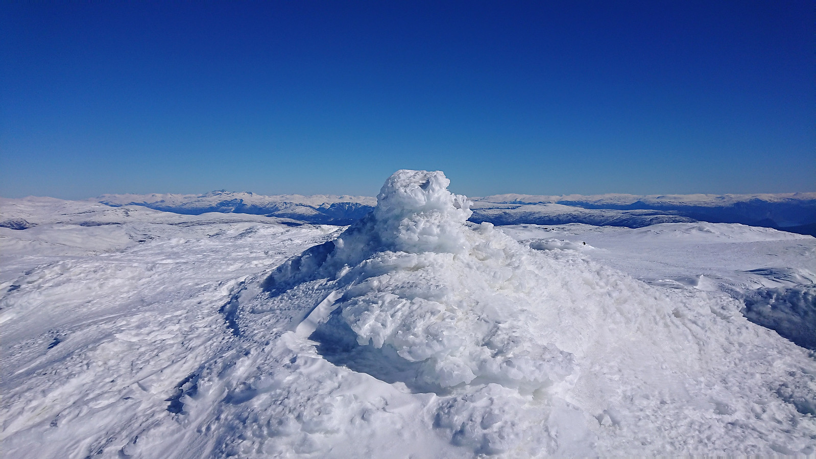
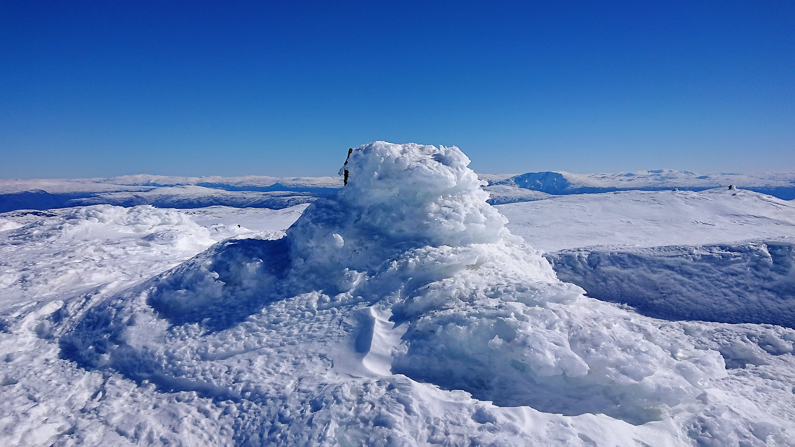
With the most uncertain section of the route out of the way, I soon arrived on a ridge which could be relatively easily followed all the way to the summit. For the last part of this ascent I was sure that I could spot the cairn at the summit, and was therefore rather surprised when this was not the actual summit. The real summit was however just about 100 meters further to the northwest and was easily reached.
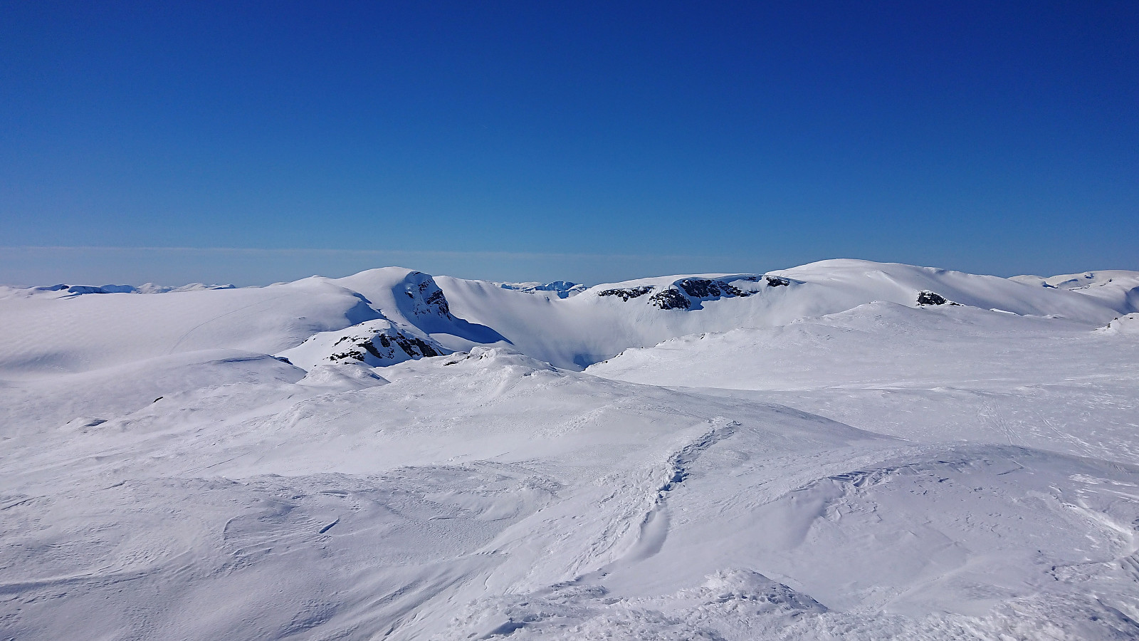
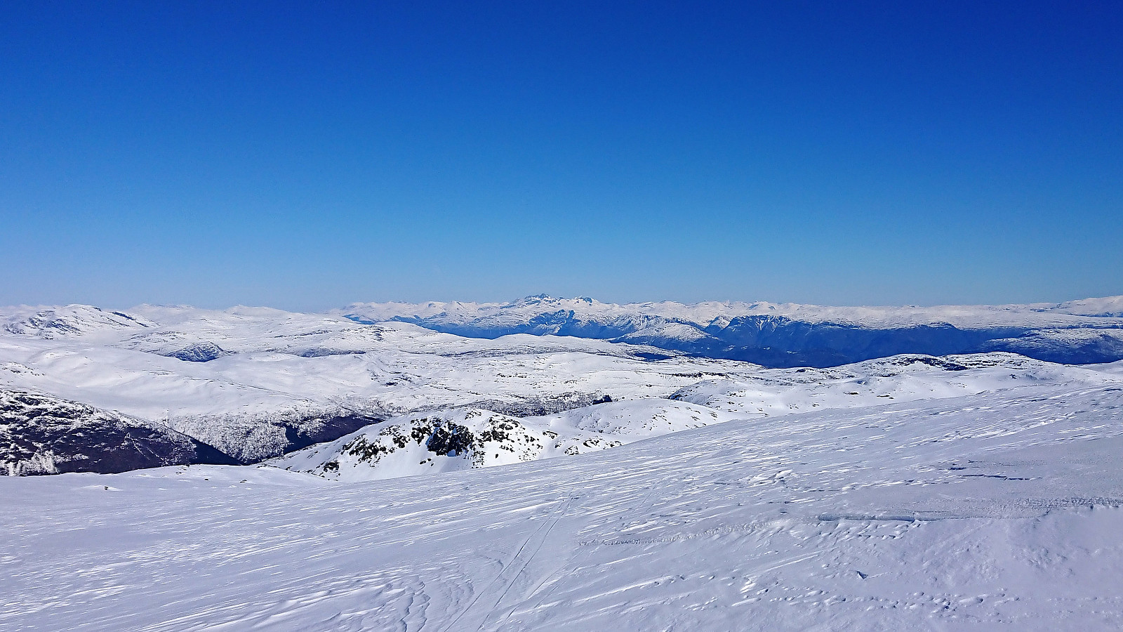
After enjoying the excellent views, I followed the same route back down, but skipping the visit to Britabu and instead taking a shortcut east to more quickly reconnect with the marked trail. Sadly the skiing conditions were not the best, with various forms of icy snow, hence the descent took longer and was not as enjoyable as I had hoped.
Overall a very nice trip that can be highly recommended, and that I would not mind repeating under better skiing conditions.
| Startzeitpunkt | 15.04.2019 11:26 (UTC+01:00 SZ) |
| Endzeitpunkt | 15.04.2019 16:33 (UTC+01:00 SZ) |
| Gesamtzeit | 5h 06min |
| Zeit in Bewegung | 4h 15min |
| Pausenzeit | 0h 51min |
| Gesamtschnitt | 4,3km/h |
| Bewegungsschnitt | 5,2km/h |
| Entfernung | 22,2km |
| Höhenmeter | 1.113m |


Benutzerkommentare