
Dyrhovden (14.04.2019)

Geschrieben von hbar (Harald Barsnes)

| Startpunkt | Rindabotn (598m) |
|---|---|
| Endpunkt | Rindabotn (598m) |
| Tourcharakter | Tourenskilauf |
| Tourlänge | 3h 50min |
| Entfernung | 14,1km |
| Höhenmeter | 567m |
| GPS |
|
| Besteigungen | Dyrhovden (948m) | 14.04.2019 |
|---|---|---|
| Besuche anderer PBE | Rindabotn p-plass (595m) | 14.04.2019 |
Dyrhovden
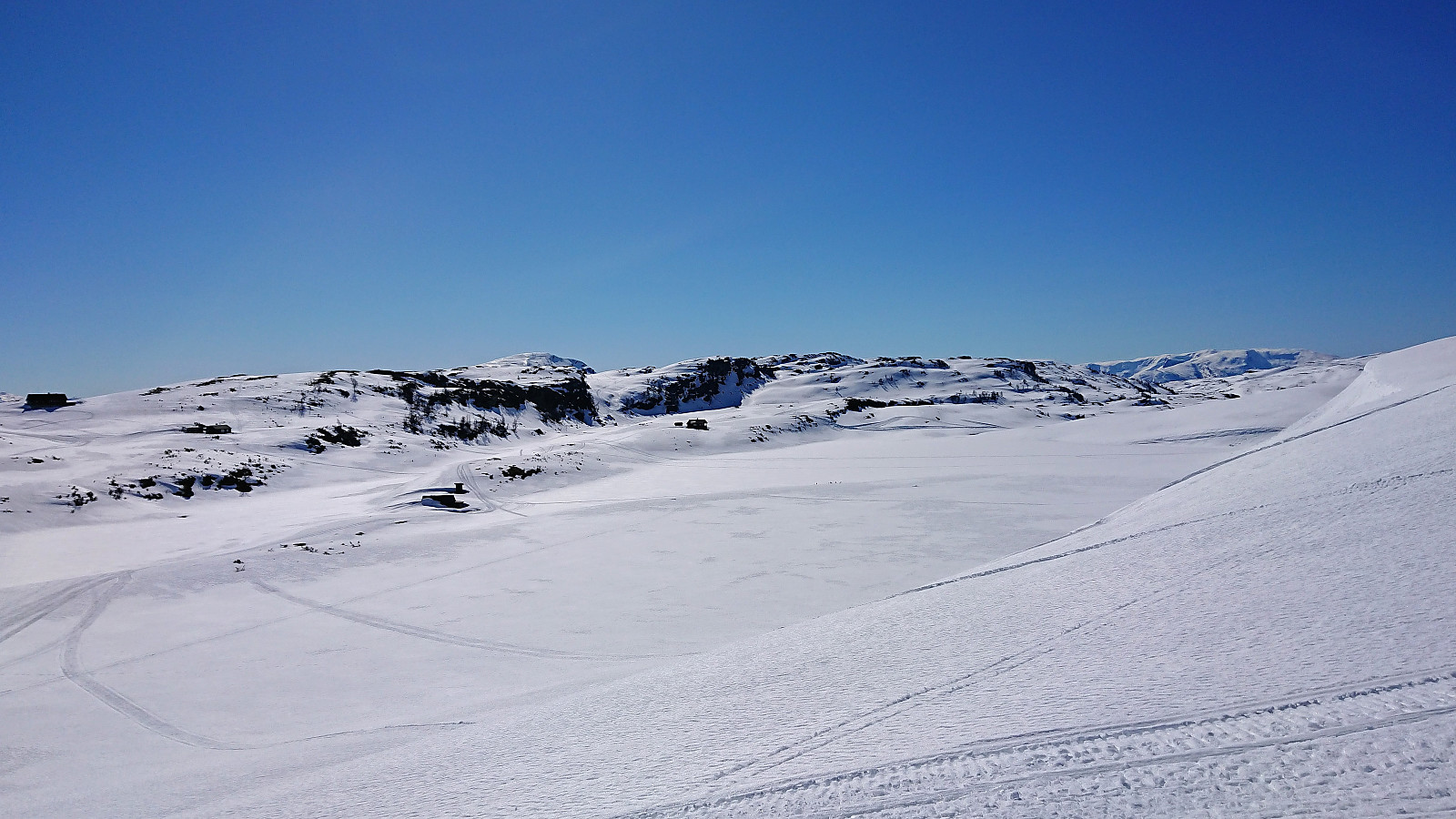
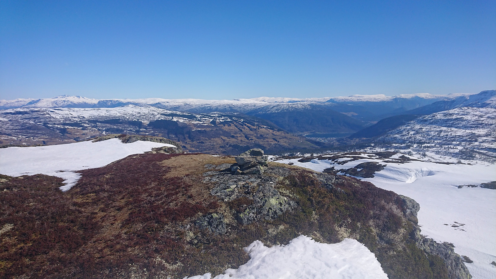
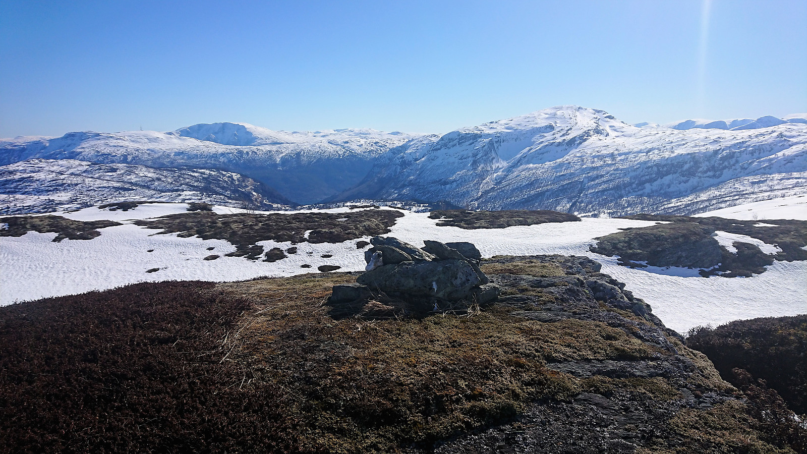
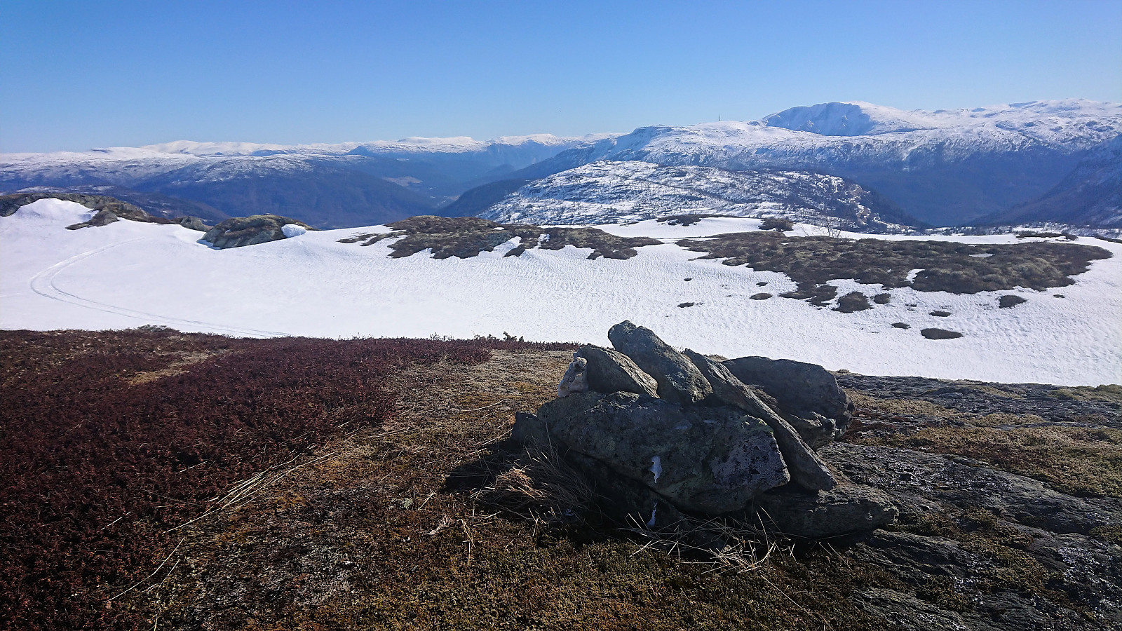
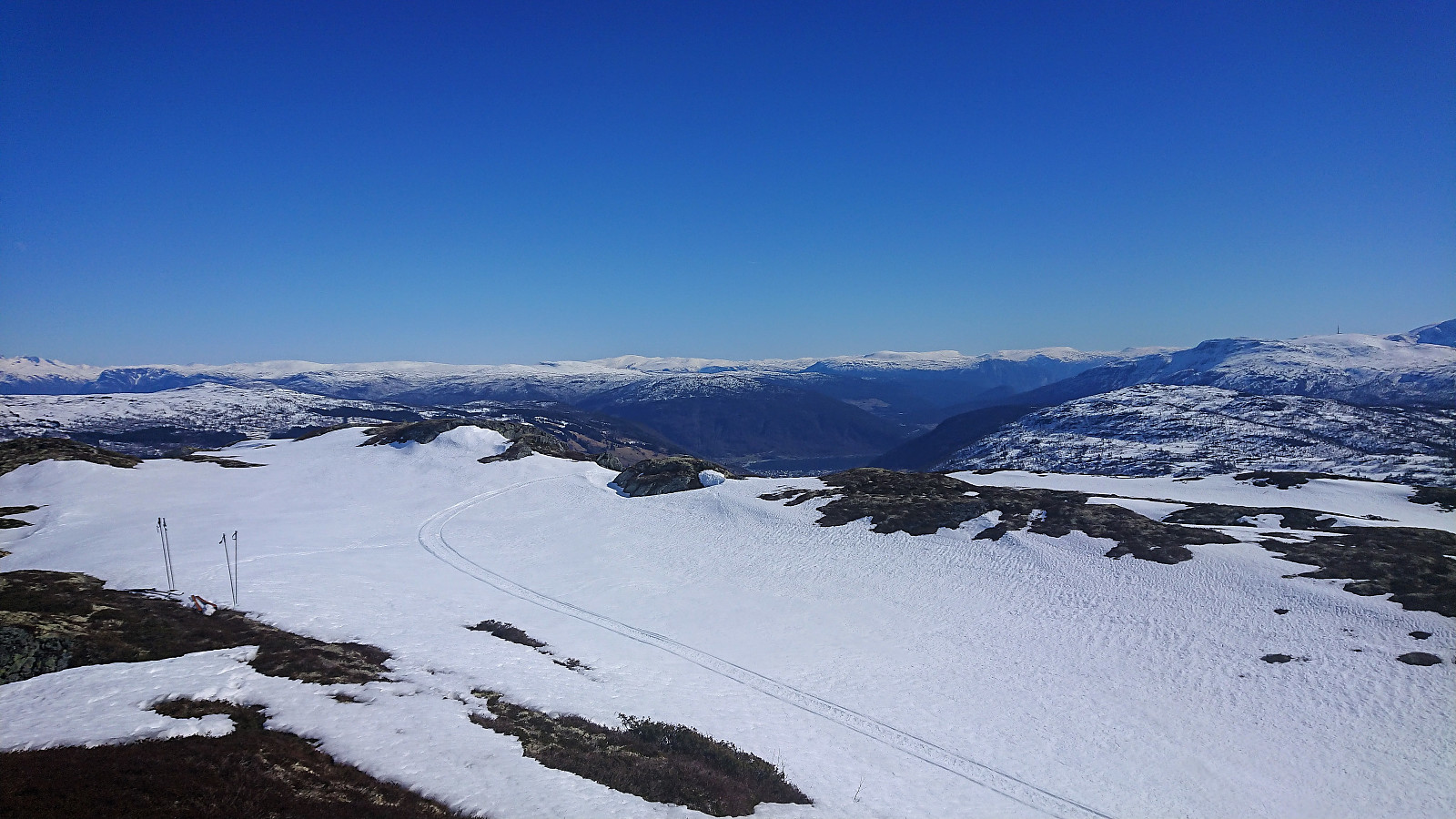
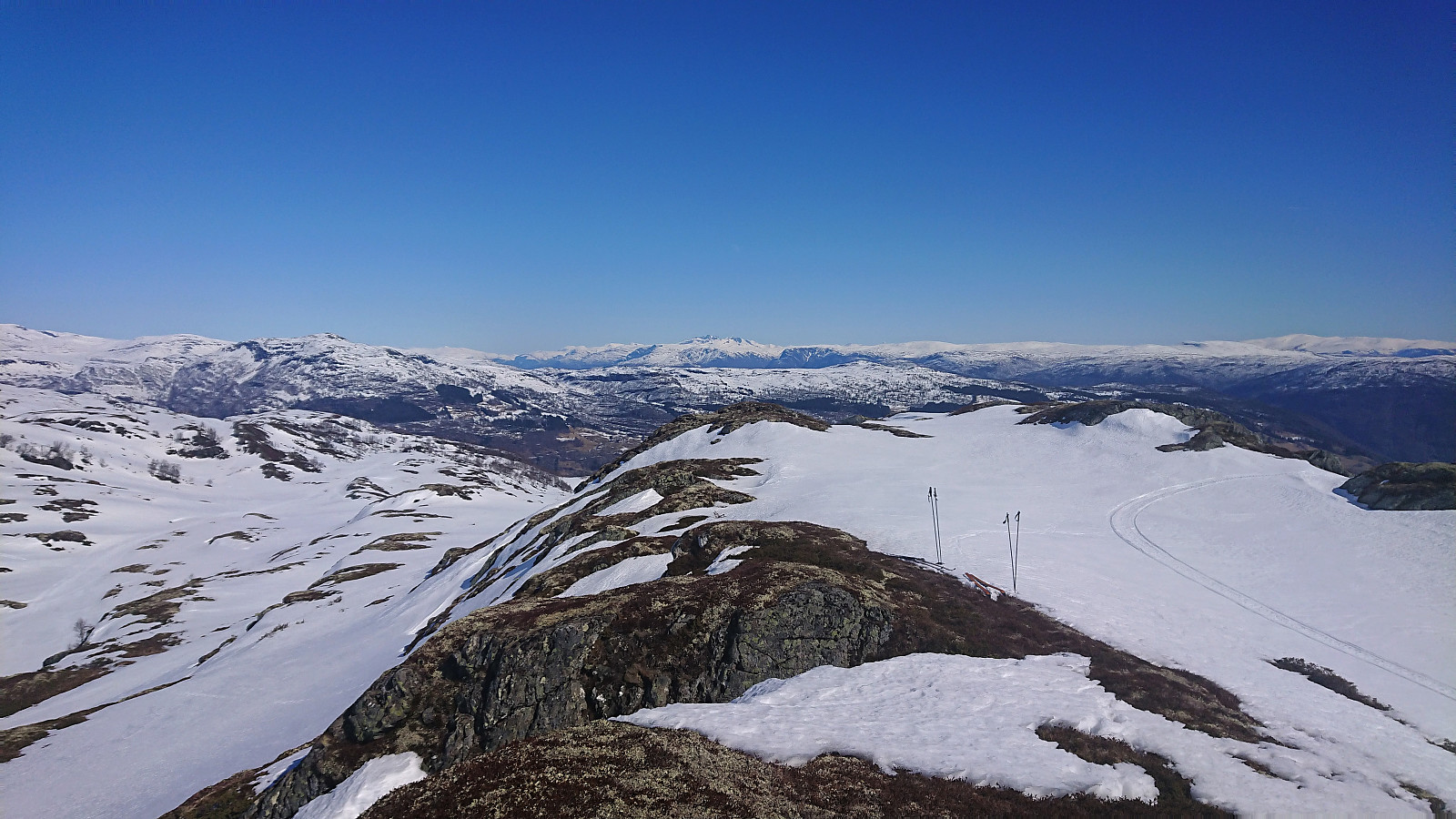
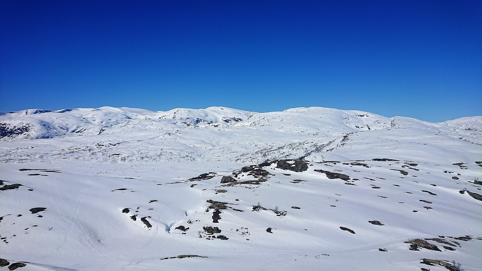
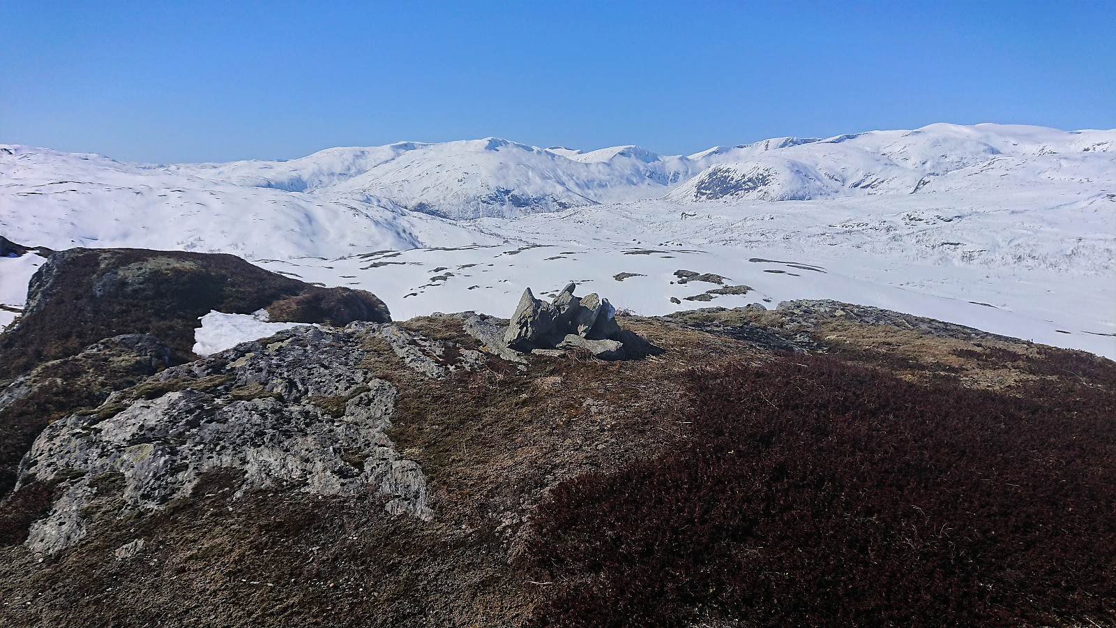
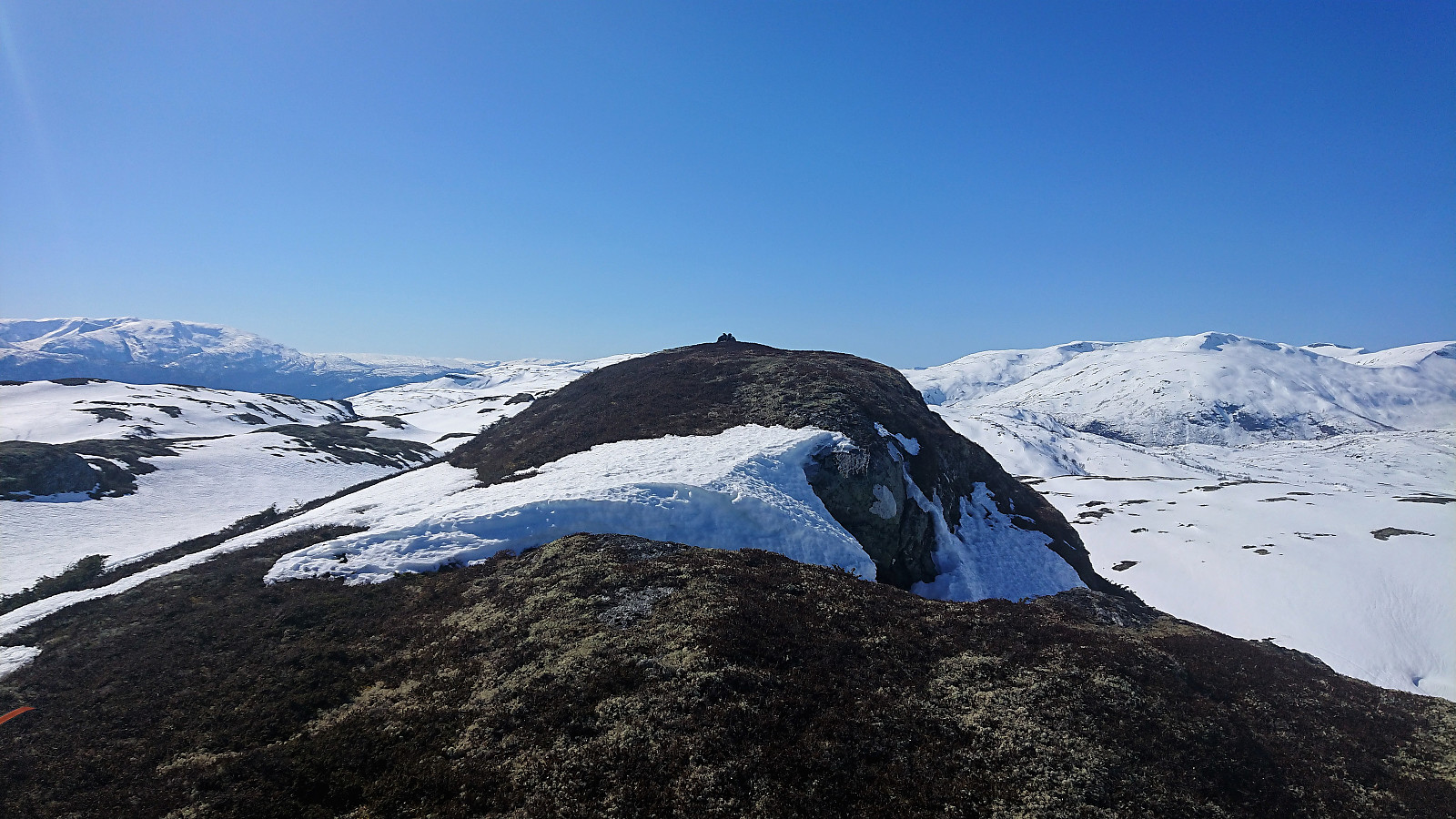
Started on the marked trail from Rindabotn but soon took a shortcut up to Skavasshaugane before reconnecting with the trail until reaching the cabins south of Reppanipa. From there we more or less followed the ridge towards Dyrhovden. The trig marker east of the summit had fallen down and the remains were only partly visible from the south. After a quick lunch at the summit we followed the same route back down to Rindabotn.

| Startzeitpunkt | 14.04.2019 11:39 (UTC+01:00 SZ) |
| Endzeitpunkt | 14.04.2019 15:29 (UTC+01:00 SZ) |
| Gesamtzeit | 3h 50min |
| Zeit in Bewegung | 3h 07min |
| Pausenzeit | 0h 42min |
| Gesamtschnitt | 3,7km/h |
| Bewegungsschnitt | 4,5km/h |
| Entfernung | 14,1km |
| Höhenmeter | 566m |


Benutzerkommentare