
Vannkista (08.04.2019)


Skrevet av Skippy (Innika De Rosa)
| Startsted | Vannøya fergekai (7moh) |
|---|---|
| Sluttsted | Vannkista (947moh) |
| Turtype | Randonnée/Telemark |
| Turlengde | 3t 17min |
| Distanse | 12,7km |
| Høydemeter | 983m |
| GPS |
|
| Bestigninger | Vannkista (947moh) | 08.04.2019 |
|---|
Flott turrapport kan leses på otto (Otto Lund).
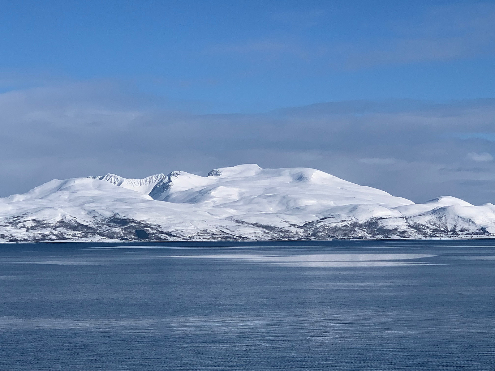
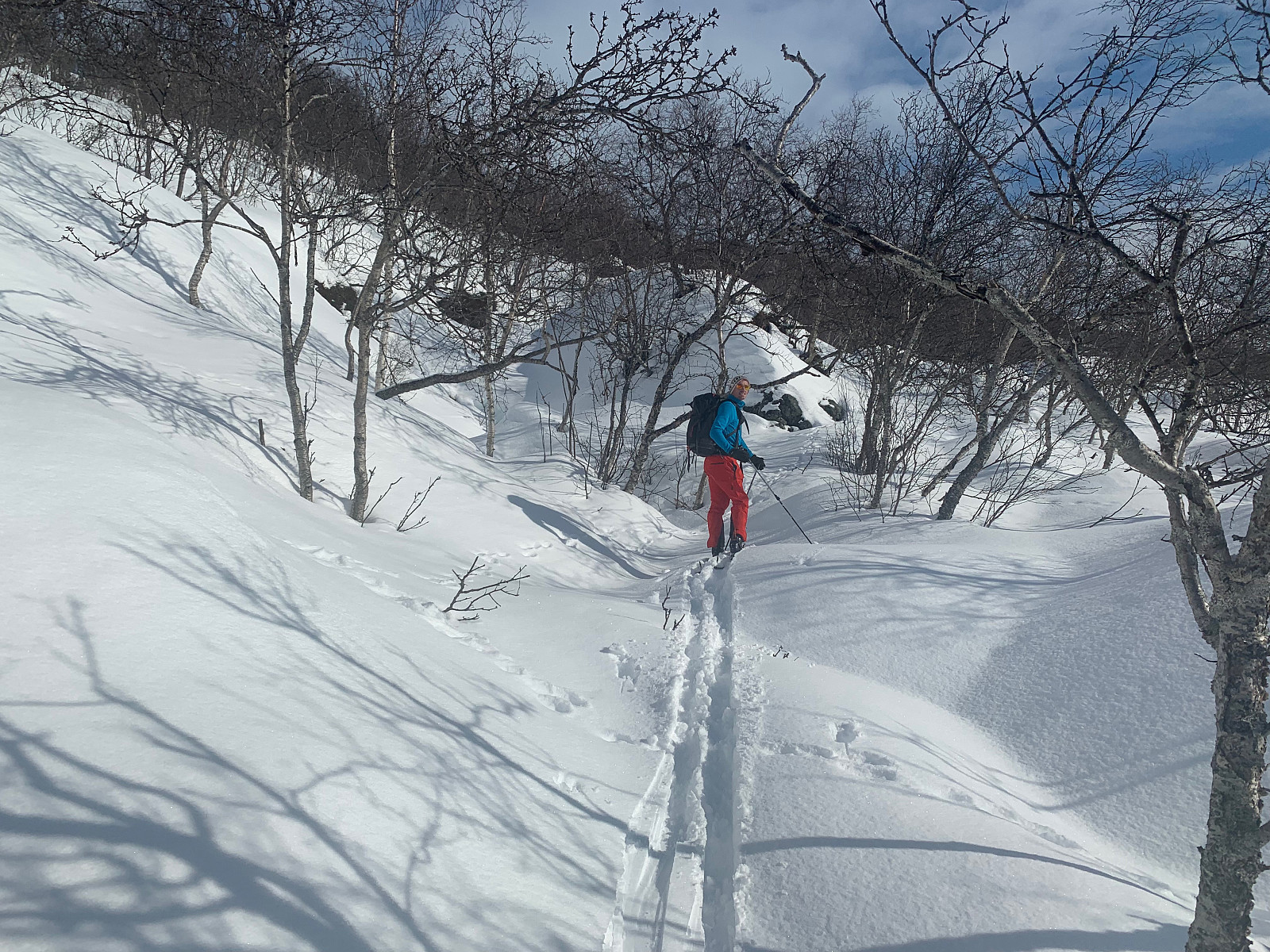
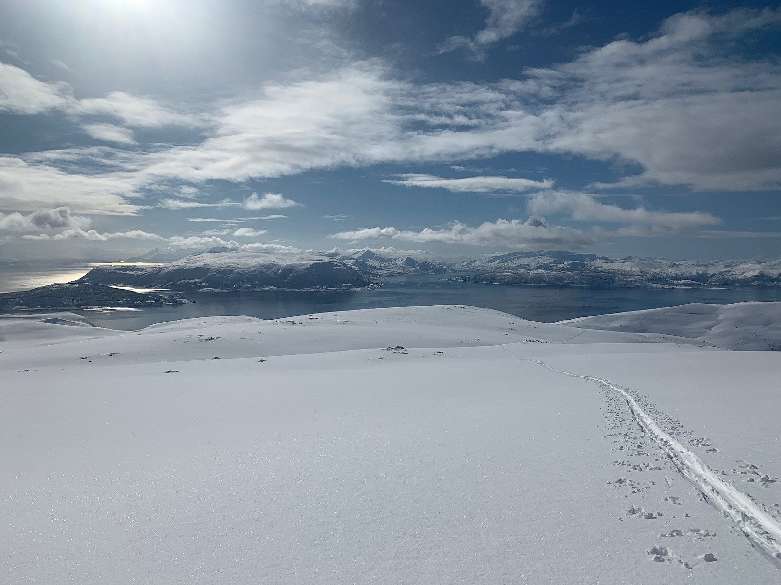
After driving to Hansnes and taking the 10.30ferry, the trip started in the warmest conditions this year to date. We drove a few hundred meters to the left of the ferry and parked along side of the road and set a trail up through the forrest. We gained elevation pretty slowly and had a somewhat long approach. The view behind us was absolutely stunning, and at around 4.5km we got our sights on the summit. We could see a big group heading up from the right coming from the village. From around 650moh we started gaining elevation more steadily and otto ran up to the top as he could see some clouds coming in. We reached the top soon after but were covered in clouds and snow, so unfortunately no nice view for us today :(
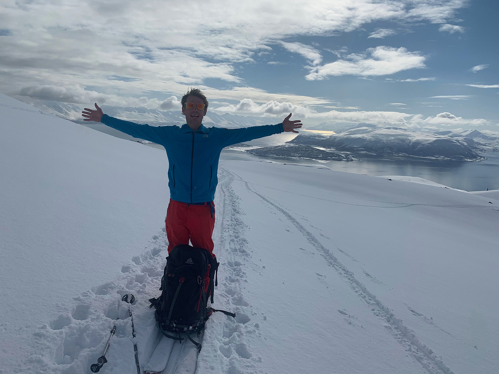
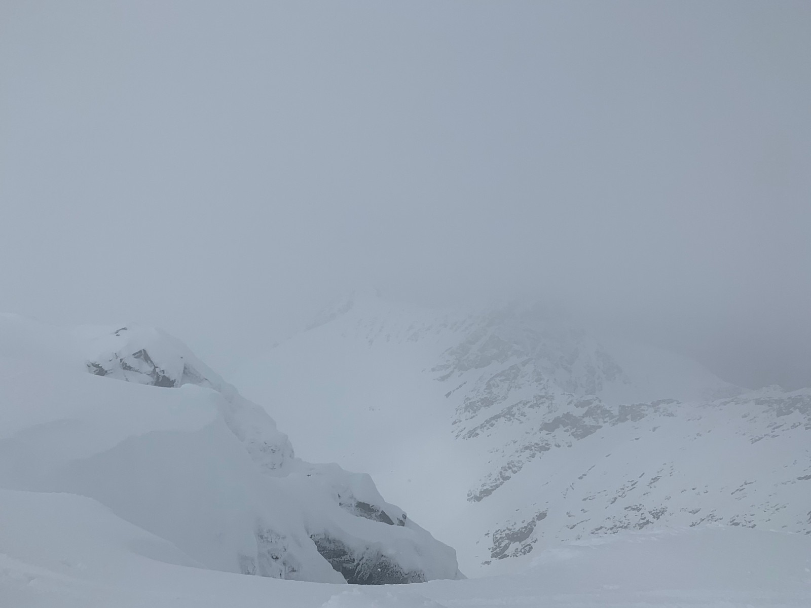
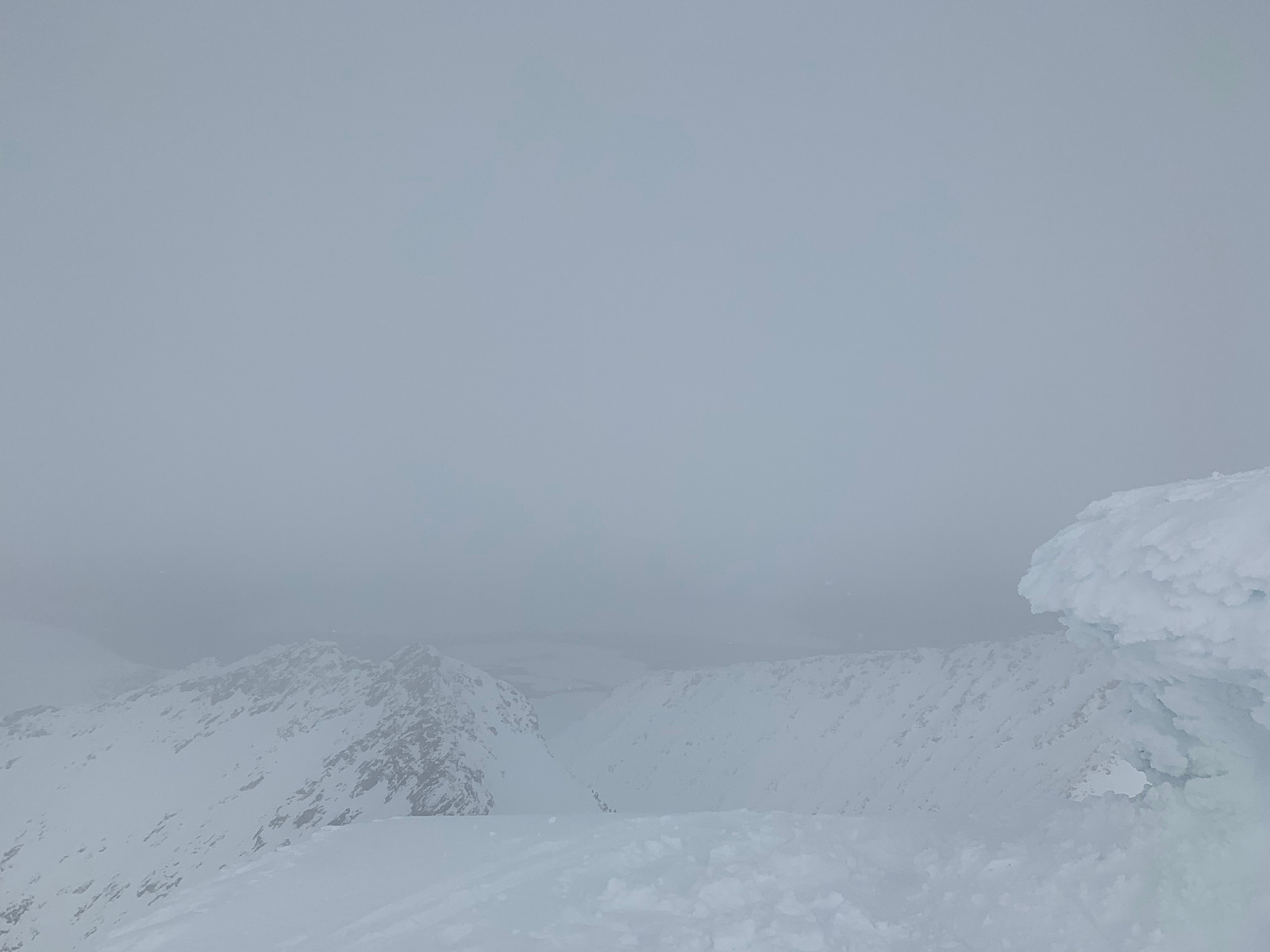
Difficult conditions on the way down with extremely flat light and snow. Ironically Yr had still forecast sun and 'pent vær resten av dagen' when we came down to the ferry with total cloud cover and snow. ill have to come back again for the view, but will definitely take a more direct approach as the descent was for the most part too flat for randonee gear. Takk for turen otto (Otto Lund) og uglefisk (Paal Andre Lund)!


Kommentarer
Tittel mangler
Skrevet av uglefisk 08.04.2019 22:16Du er så flink honey :D