
Fusafjellet and Bogafjellet (03.10.2018)

Written by hbar (Harald Barsnes)

| Start point | Prestegardsmarka (27m) |
|---|---|
| Endpoint | Eikhovda (54m) |
| Characteristic | Hillwalk |
| Duration | 3h 35min |
| Distance | 12.1km |
| Vertical meters | 921m |
| GPS |
|
| Ascents | Bogafjellet (442m) | 03.10.2018 |
|---|---|---|
| Fusafjellet (665m) | 03.10.2018 | |
| Vetlahorgi (627m) | 03.10.2018 | |
| Visits of other PBEs | Bogafjellet utsiktspunkt (438m) | 03.10.2018 |
Fusafjellet and Bogafjellet
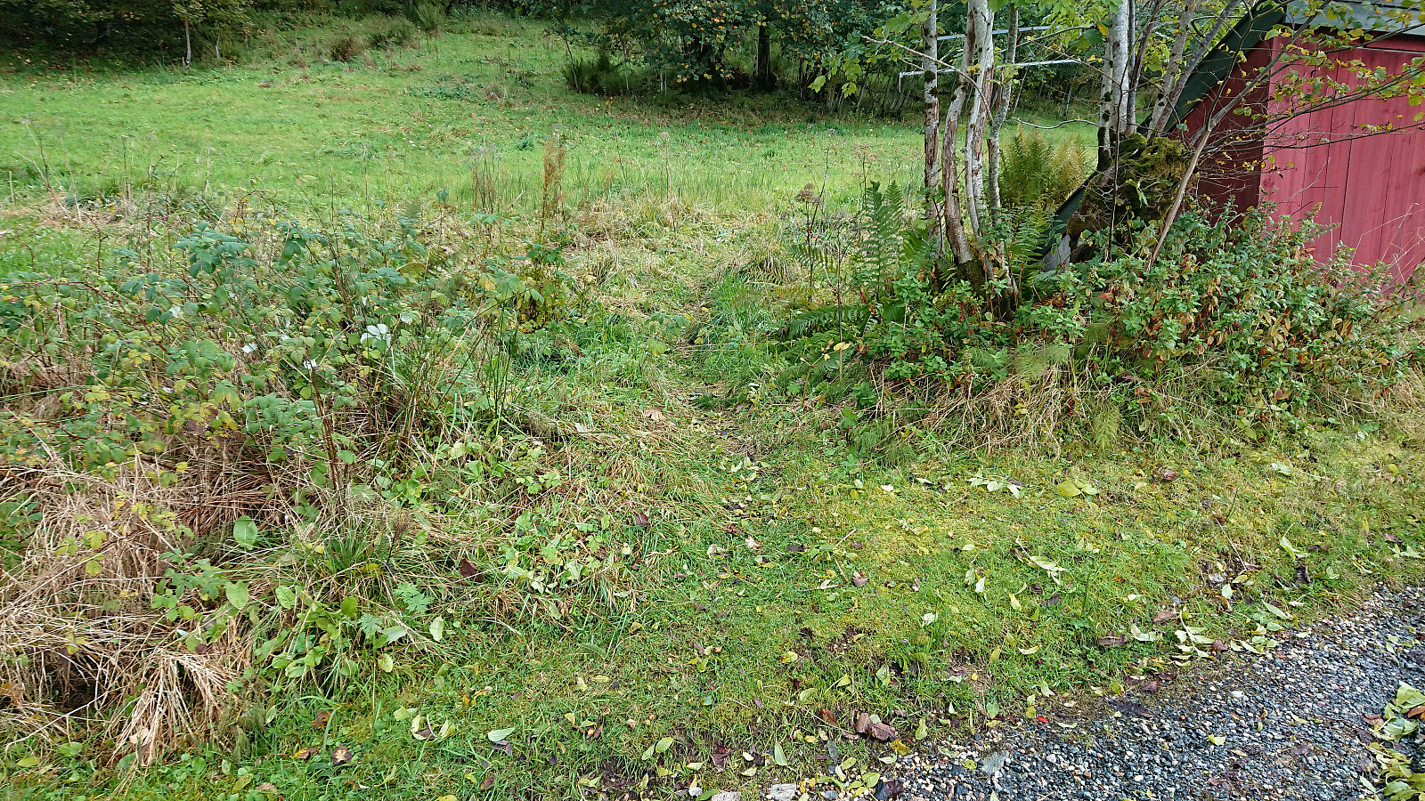
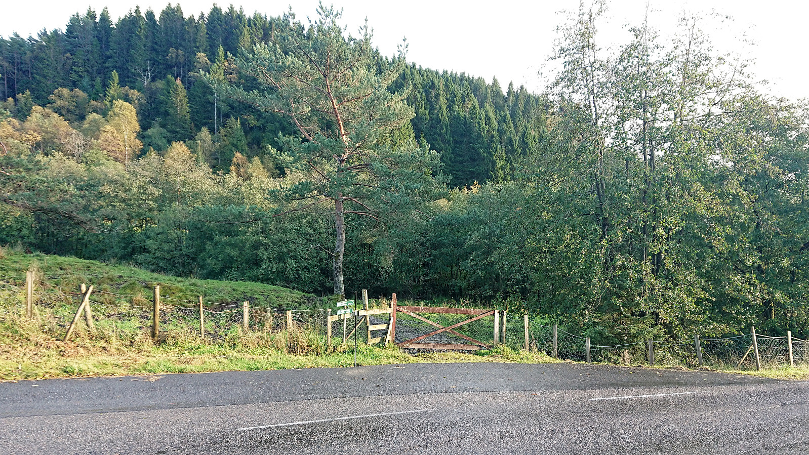
When a two-day meeting at Solstrand ended just after lunch, I used the opportunity for a hike in the Fusa region. Started by taking the bus (and ferry) across Fusafjorden and the bus stop called Prestegardsmarka. Here the map indicated the start of a rather steep trail towards the summit of Fusafjellet, and from the bus stop the ascent indeed looked very steep.
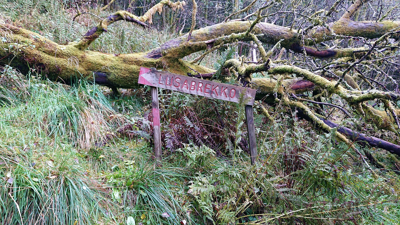
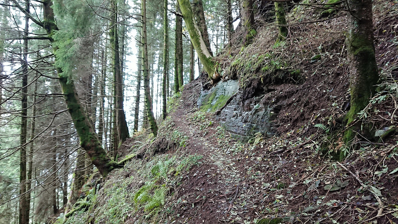
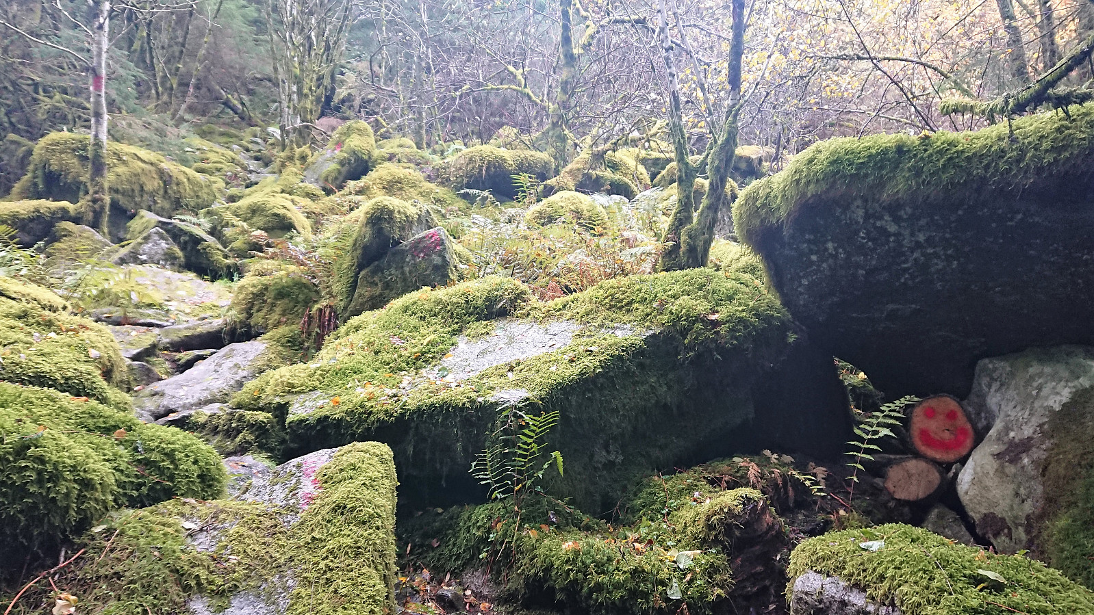
After locating the unmarked trailhead I soon came across the first sign for Lusabrekko. A second smaller sign soon followed, and from there on the trail was marked with red paint. While the trail could be fairly easily followed, it quickly turned very steep, so much that it would have been very difficult, if not impossible, to ascend without the markers.
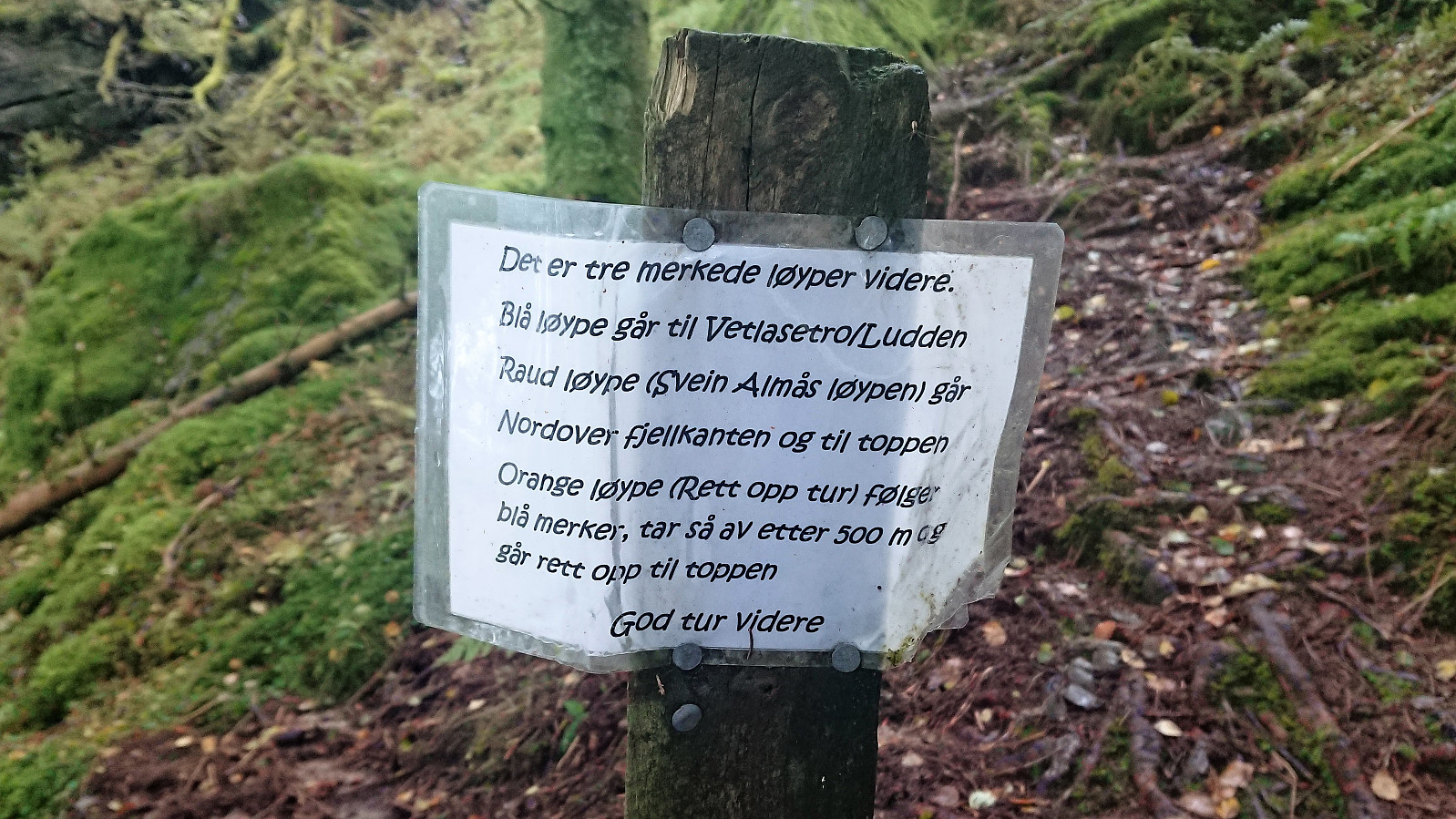
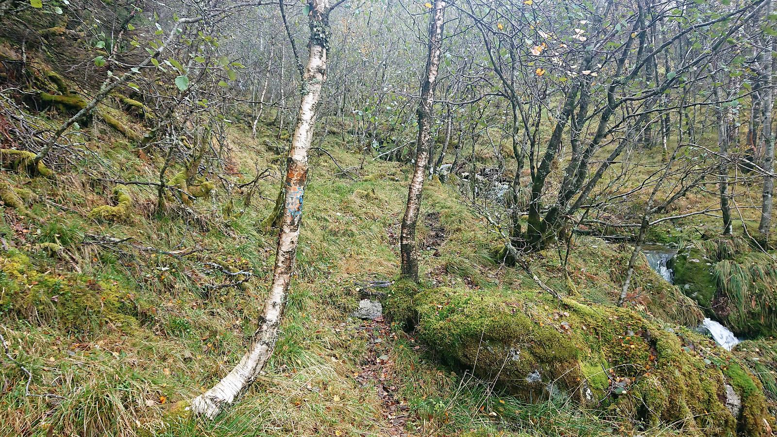
The trail gradually got less steep after the first kilometer and from there on it was straightforward to reach the summit. Here the trail also split into three options: red, blue and orange. I chose the orange route, which thankfully started out overlapping with the blue trail, given that the orange markers where not always easy to spot, especially this time of the year with all the orange and brown leaves.
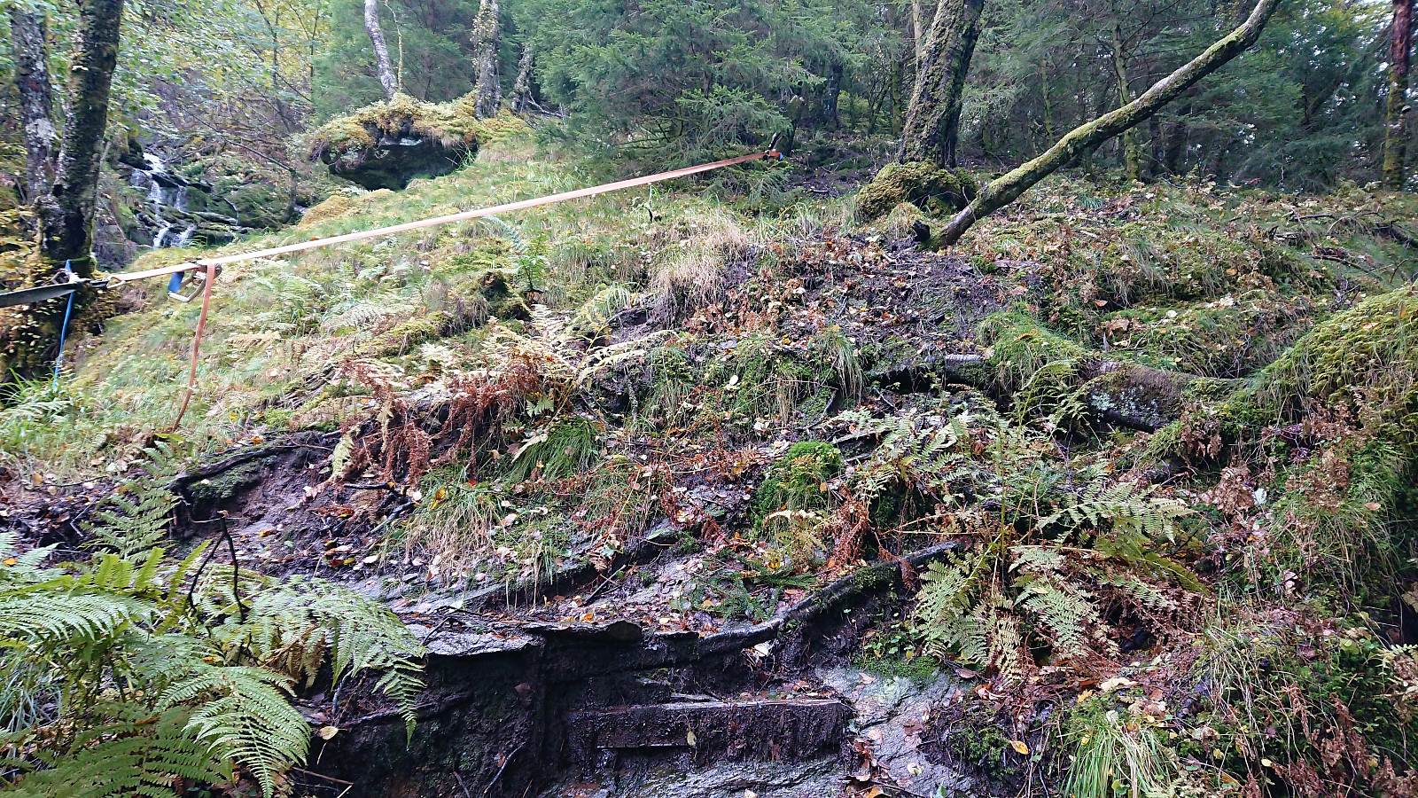
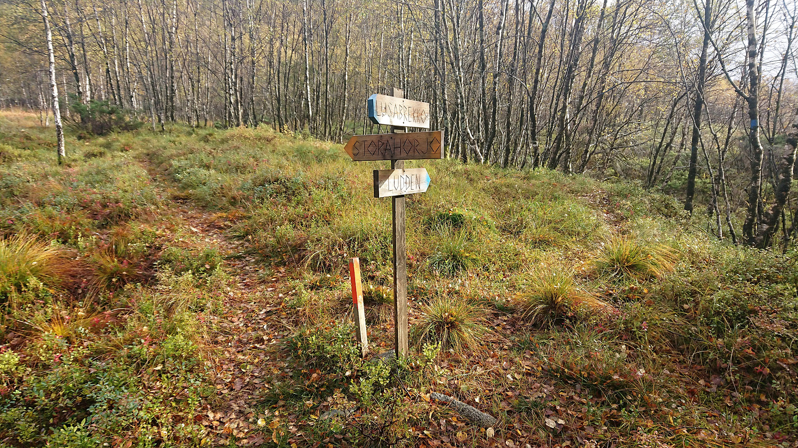
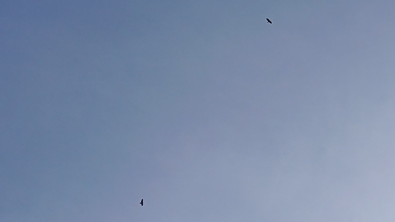
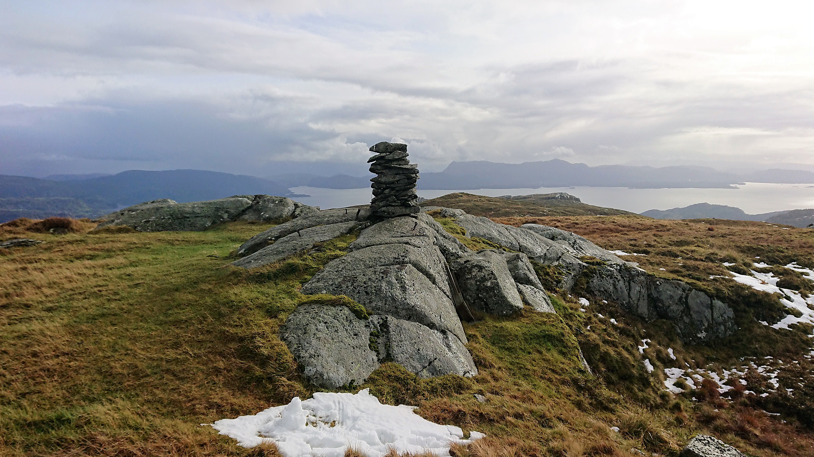
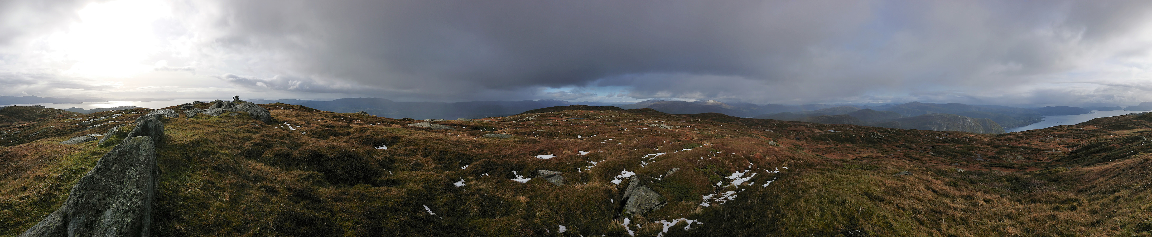
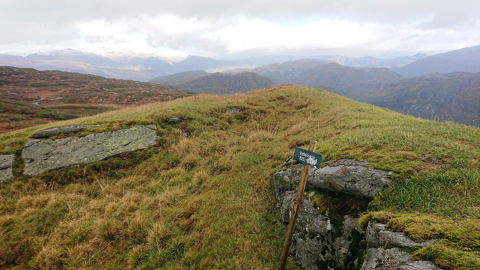
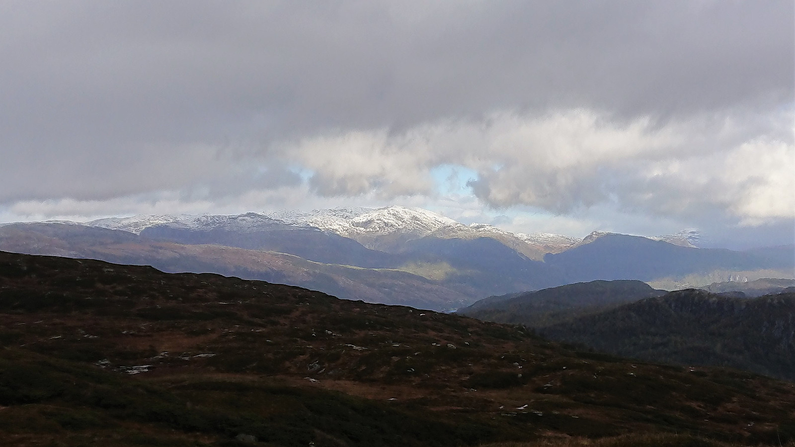
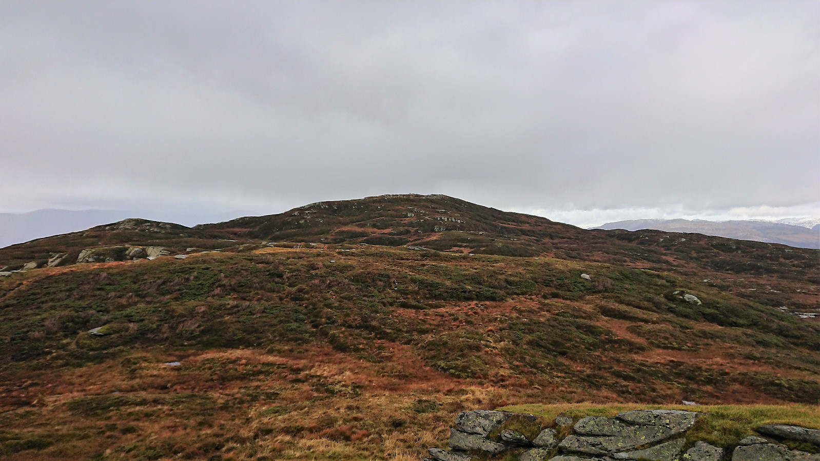
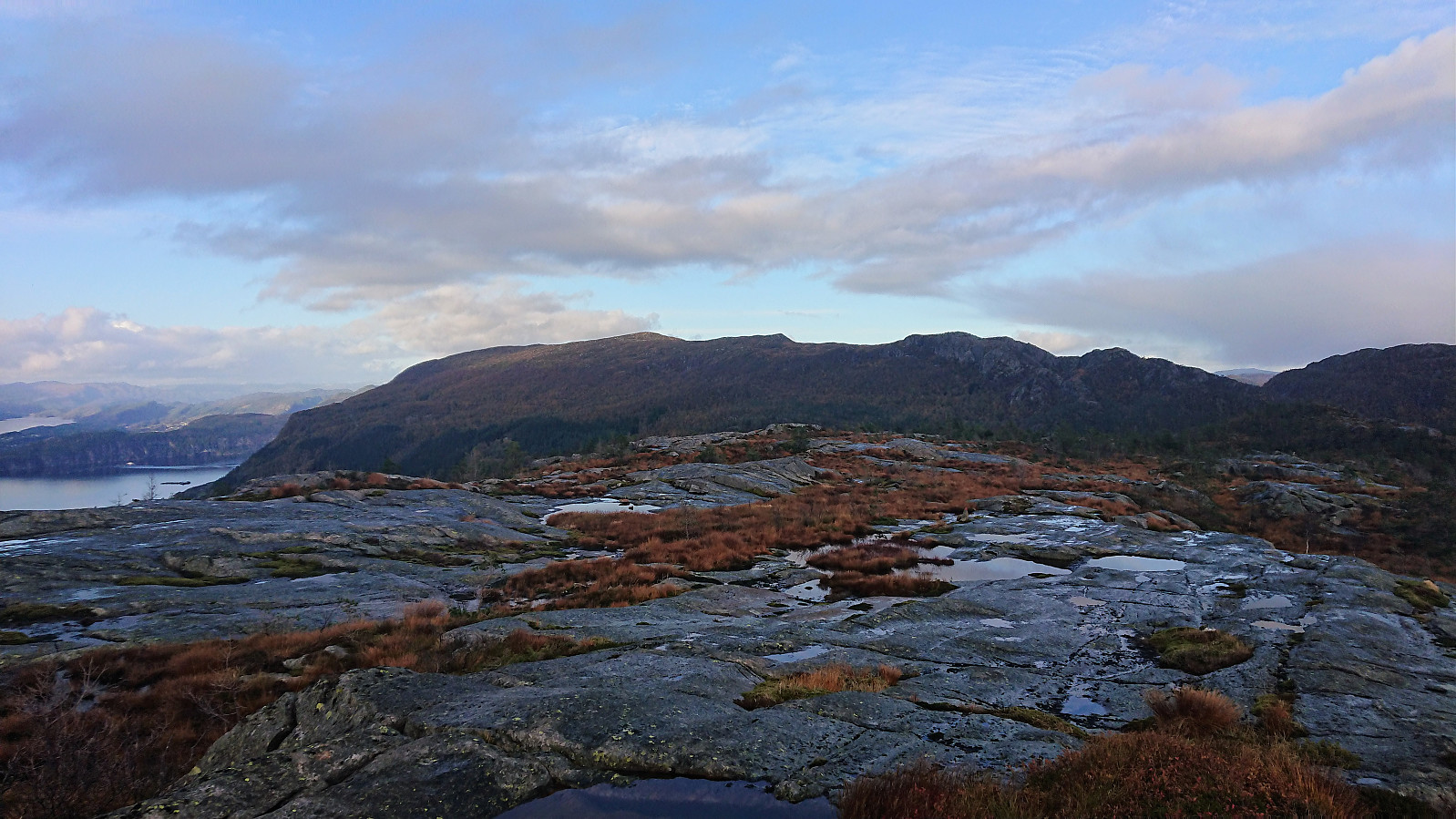
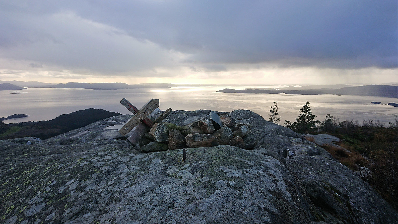
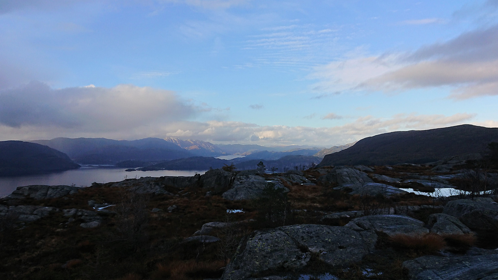
But as the orange and blue trails parted ways, the orange markers improved, and I soon found myself approaching the summit, welcomed by at least three eagles watching over the small cairn south of the summit. The summit itself provided excellent views, but today limited by the low-hanging clouds and the rain/snow that started shortly after reaching the summit. I therefore did not stay long before continuing south toward Bogafjellet, making a quick stop at Vetlehorga on the way. The trails had been very wet all day, and the new rain did not help. Resulting in trails that at times looked more like small streams.
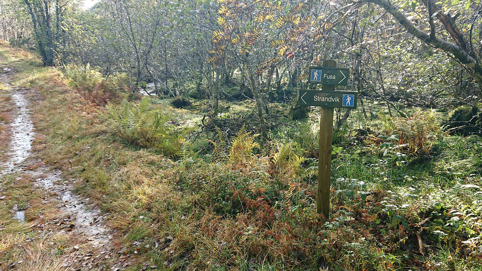
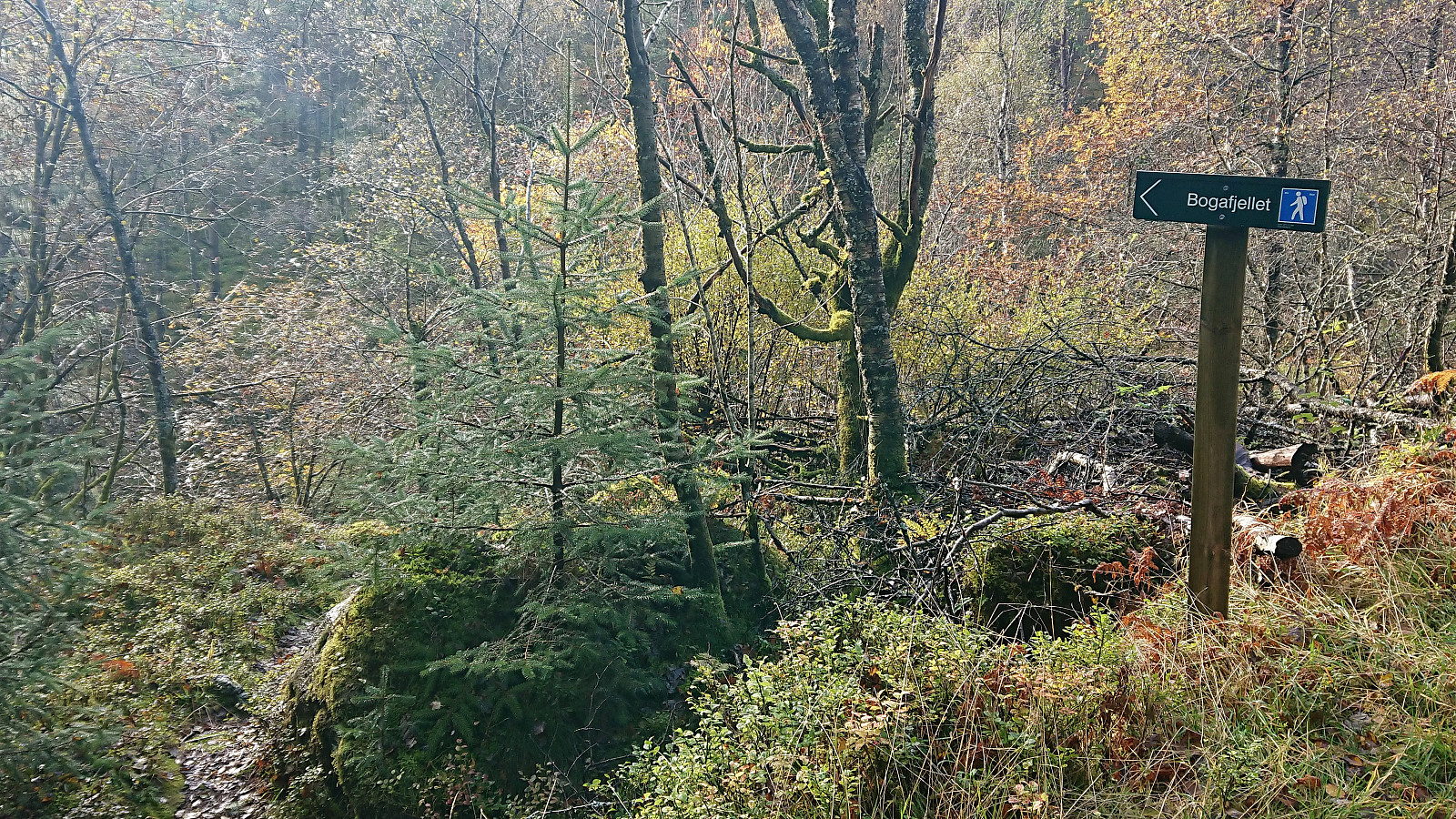
On my way down to the valley between Fusafjellet and Bogafjellet, I initially made a wrong turn at the first marked crossroads, but soon corrected my mistake and instead followed the signs for Strandvik. Parts of this trail was weak at times, but soon connected with a tractor road where I again followed the signs for Strandvik. After less than 100 meters I then followed the sign for Bogafjellet, taking me off the tractor road and west across Vikaelva.
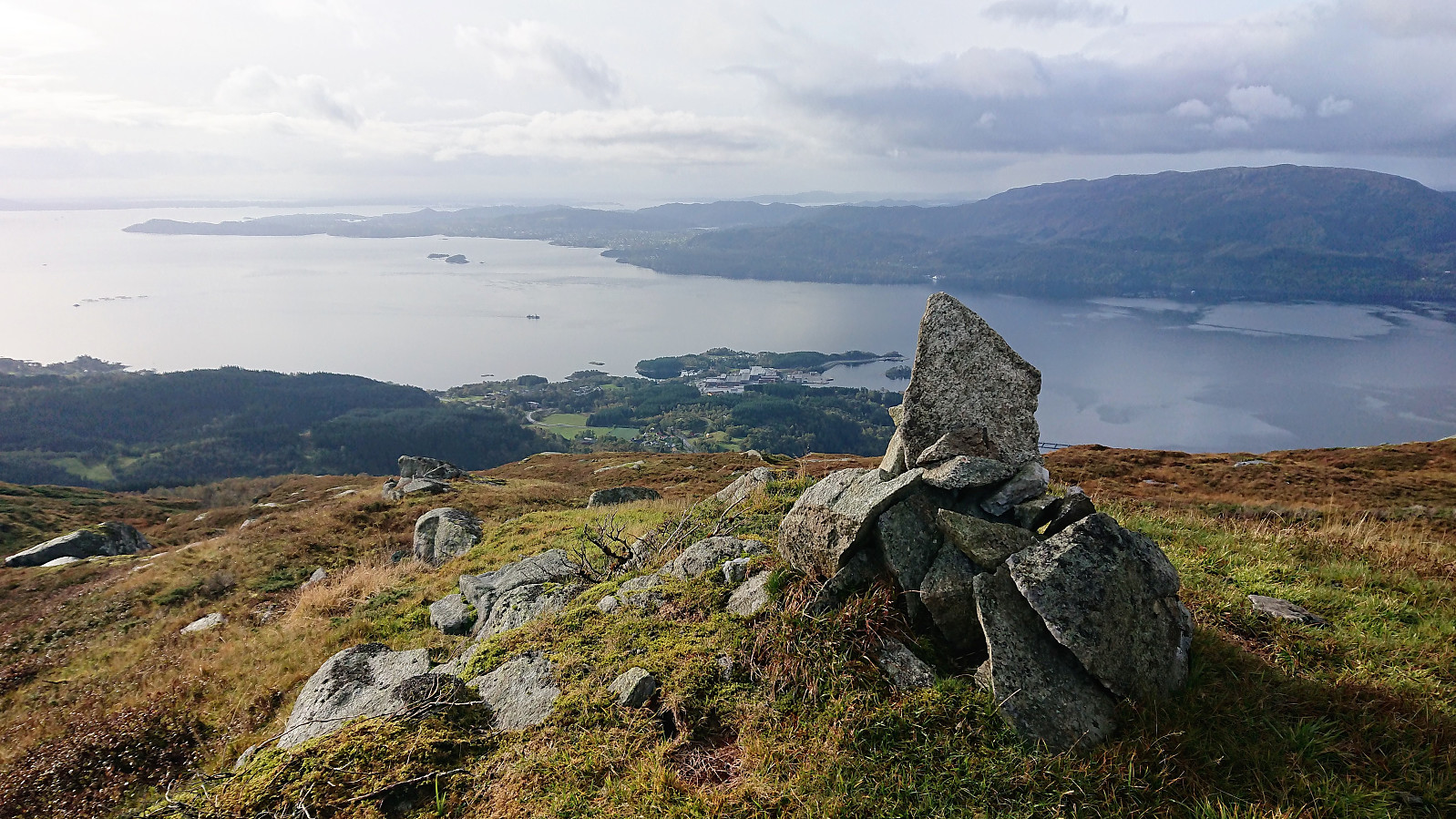
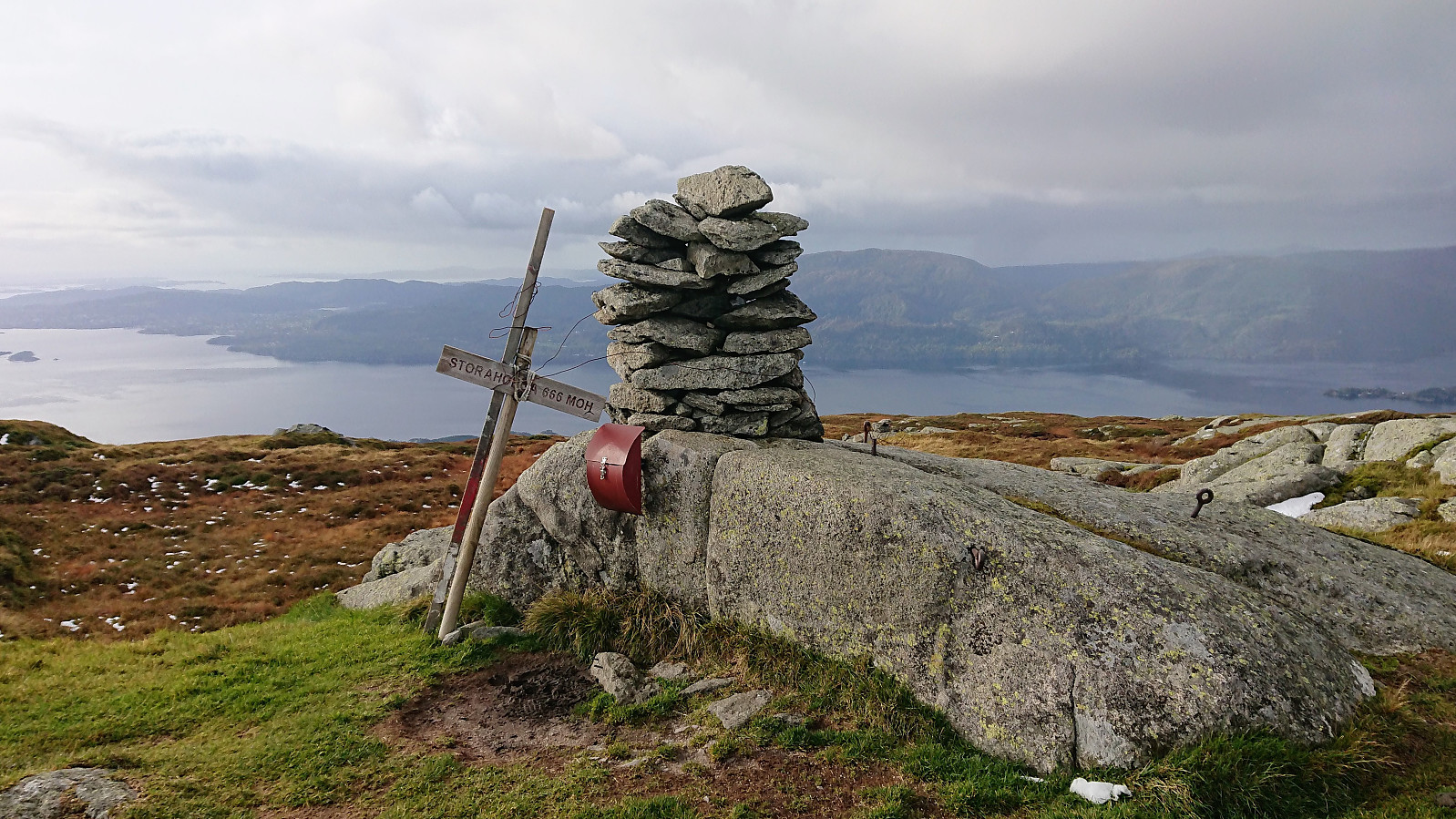
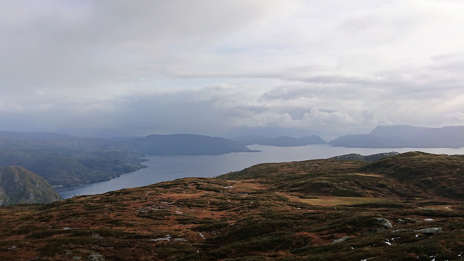
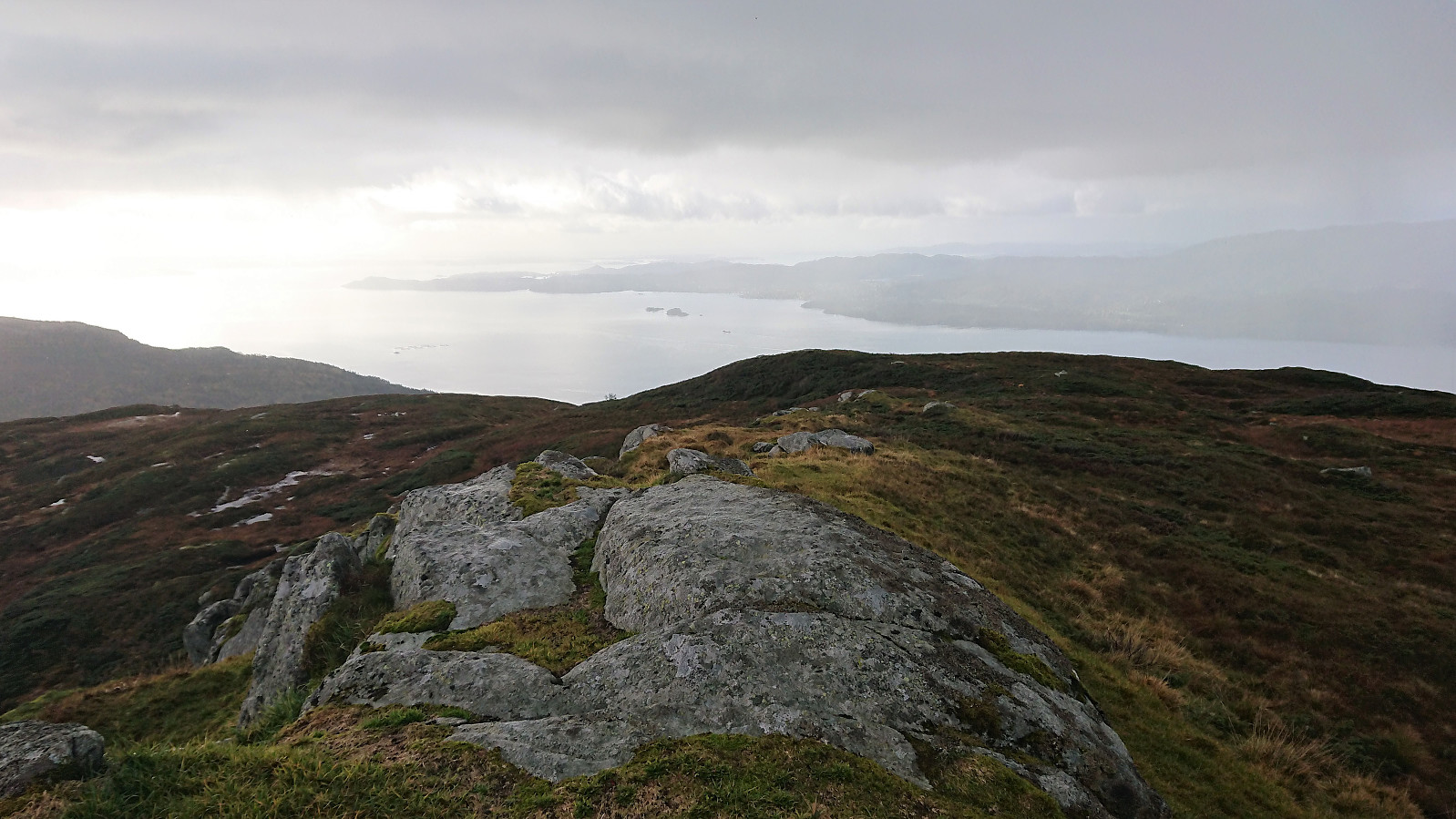
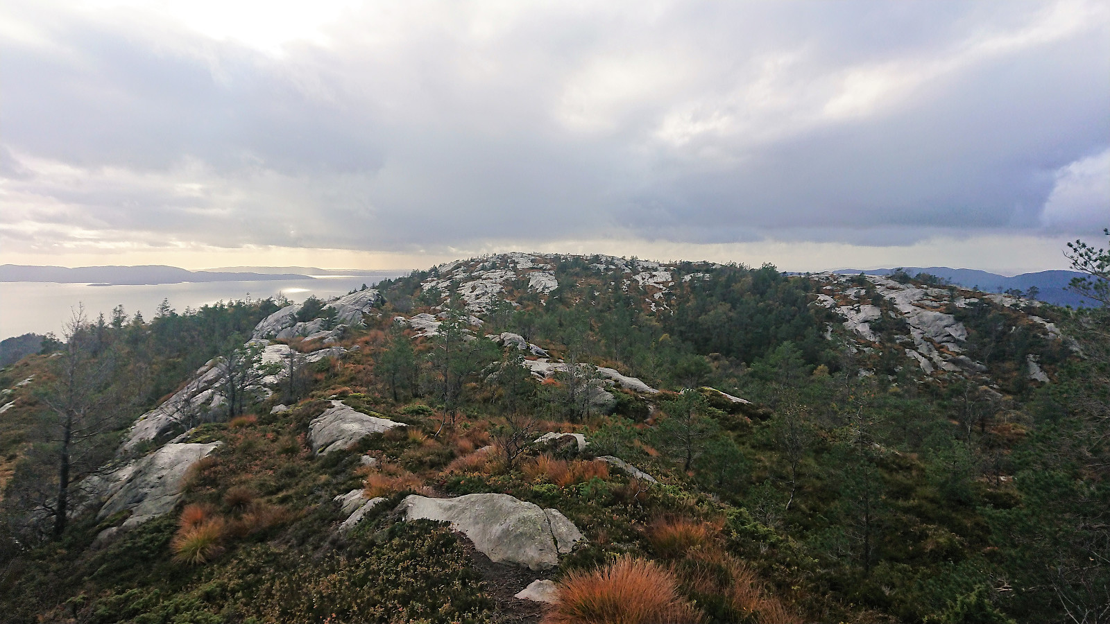
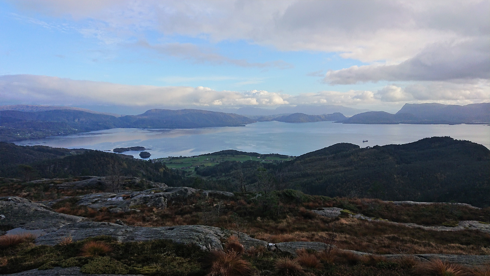
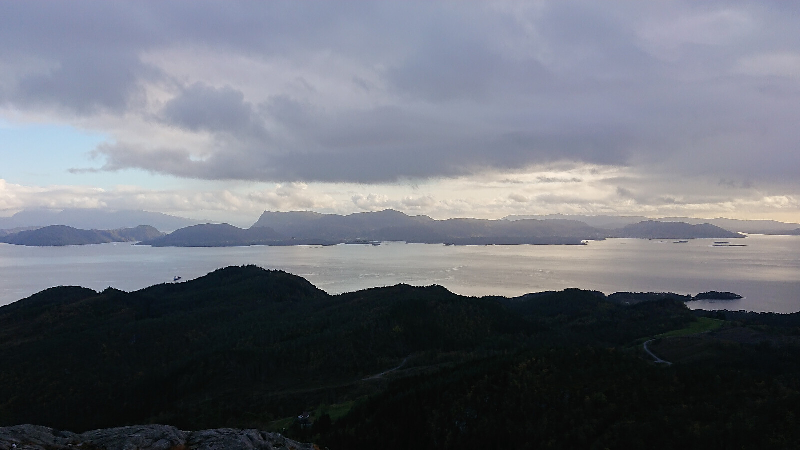
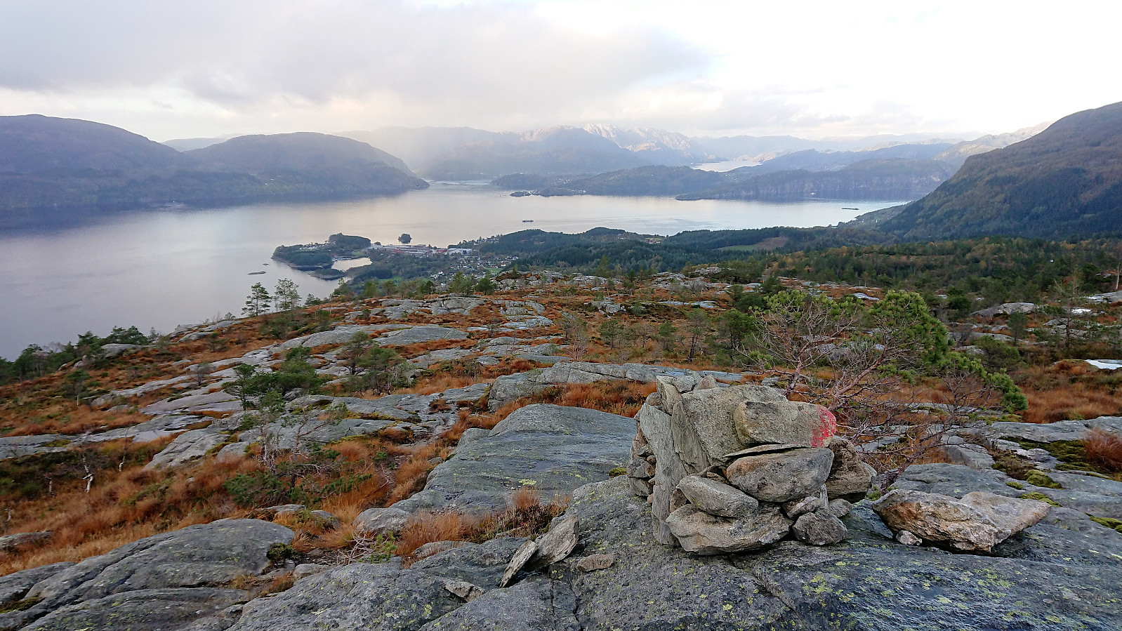
Shortly after crossing the river I came across two deer, that proceeded to run off into the forest before I managed to take any pictures. The first part of this trail went inside the forest with limited views, but as I reached the ridge the views opened up with great views towards Bjørnafjorden. The summit of Bogafjellet also provided nice views, as did the viewpoint with the cairn and sign further west.
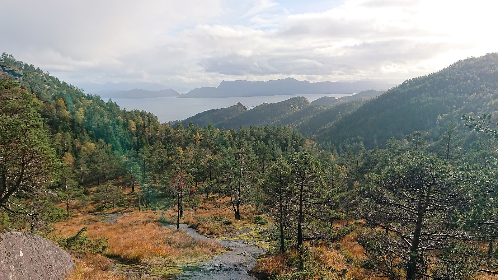
Sadly I could not enjoy the views for long, as my time was running out. I now had less than an hour until I had to be at the bus stop at Eikhovda. If not I would miss the last bus back to Bergen. Thankfully the trail was fairly easy to follow (although I started off in the wrong direction when leaving the summit…) and within not too long I reached a tractor road that greatly increased my progress. I still included several stretches of light running, if only to be on the safe side, making it to the bus stop with around ten minutes to spare.
Overall, a very interesting hike that can be highly recommended. The steep start will not be everyone's cup of tea though, and I guess the same goes for the generally rather wet trails. But I would clearly not mind returning in better weather and without the tight schedule.
| Start date | 03.10.2018 14:11 (UTC+01:00 DST) |
| End date | 03.10.2018 17:46 (UTC+01:00 DST) |
| Total Time | 3h 35min |
| Moving Time | 3h 27min |
| Stopped Time | 0h 8min |
| Overall Average | 3.4km/h |
| Moving Average | 3.5km/h |
| Distance | 12.1km |
| Vertical meters | 920m |


User comments