
Vedafjellet and Såtefjellet (23.09.2018)

Geschrieben von hbar (Harald Barsnes)

| Startpunkt | Gjerstad (60m) |
|---|---|
| Endpunkt | Takkvam (51m) |
| Tourcharakter | Bergtour |
| Tourlänge | 5h 31min |
| Entfernung | 18,8km |
| Höhenmeter | 1.186m |
| GPS |
|
| Besteigungen | Setevarden (636m) | 23.09.2018 |
|---|---|---|
| Såtefjellet (666m) | 23.09.2018 | |
| Vedafjellet (673m) | 23.09.2018 |
Vedafjellet and Såtefjellet
Setevarden and Vedafjellet
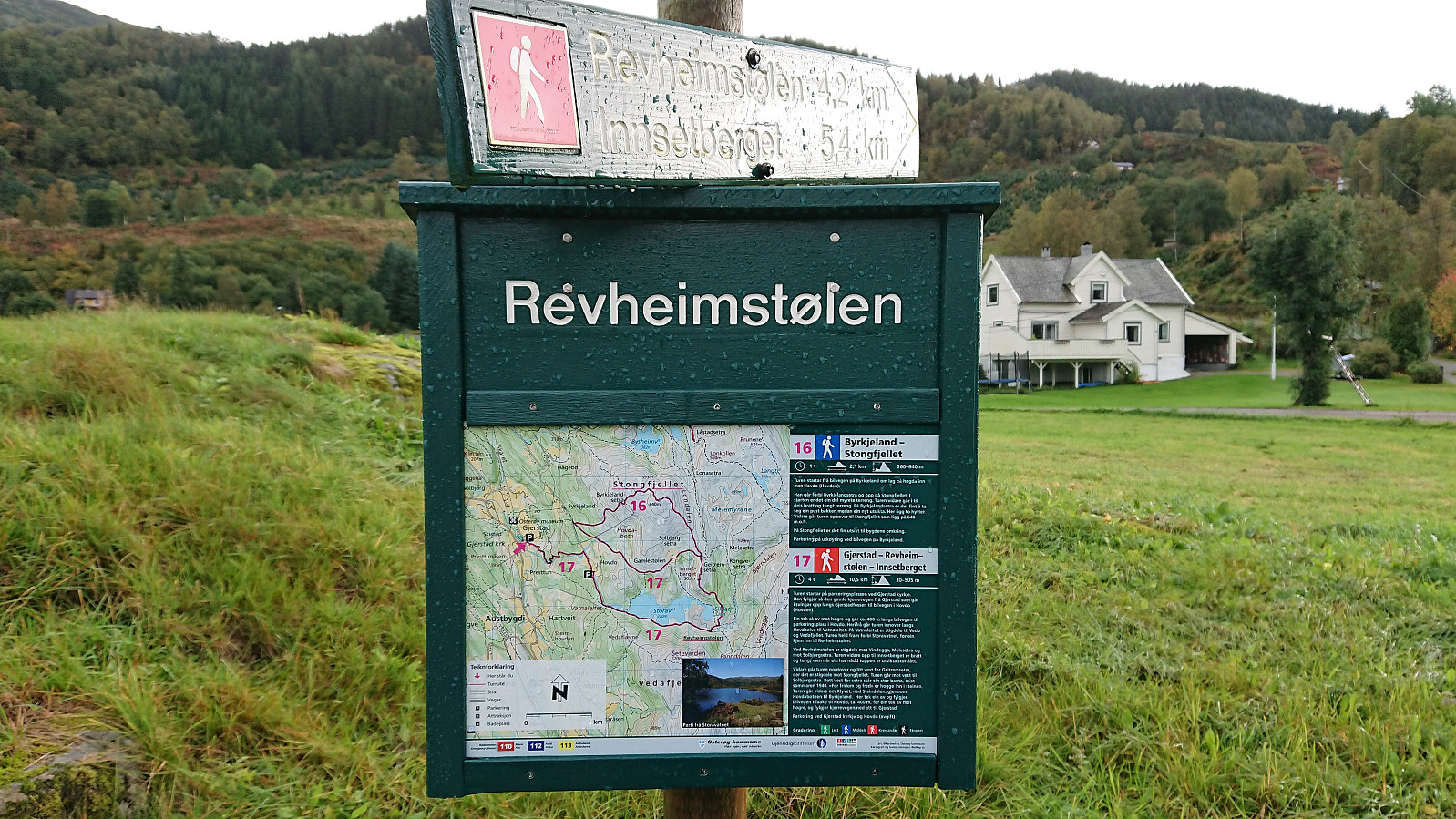
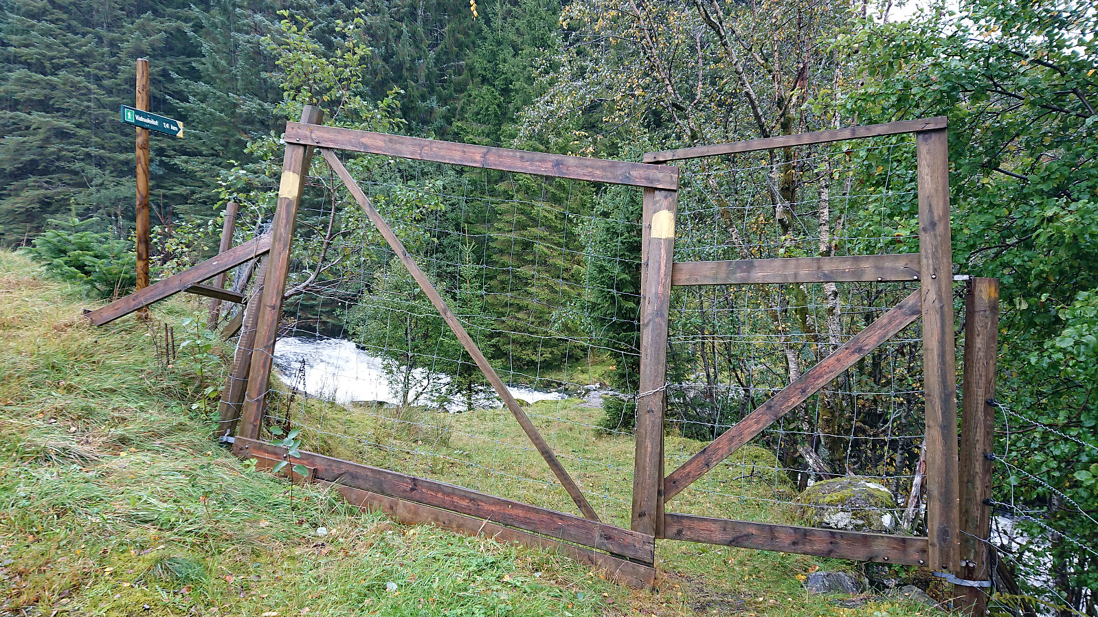
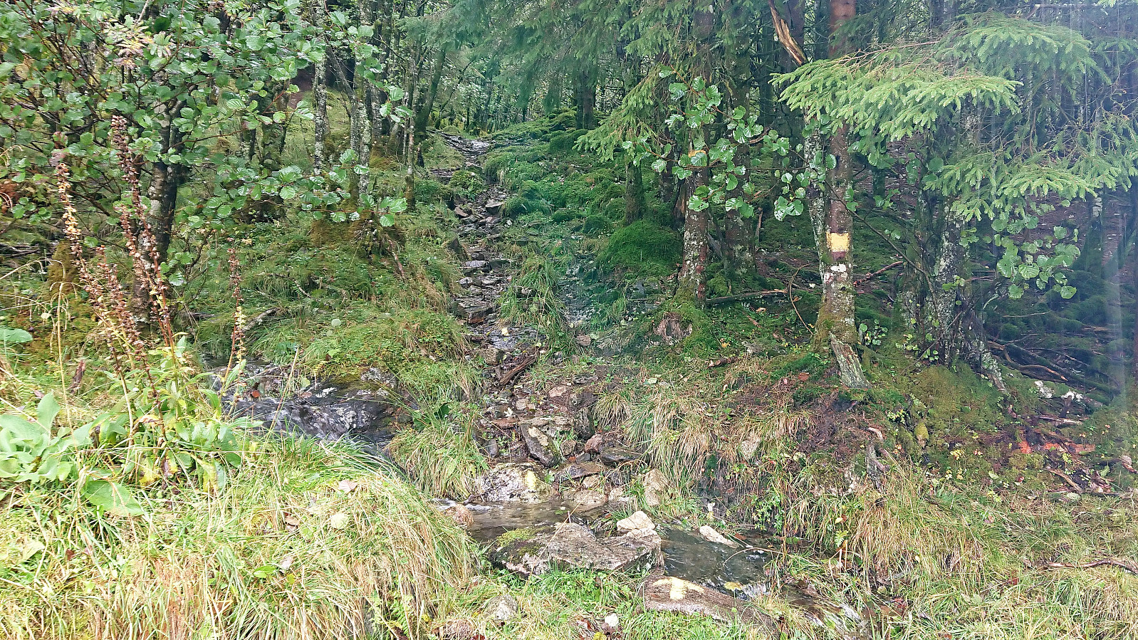
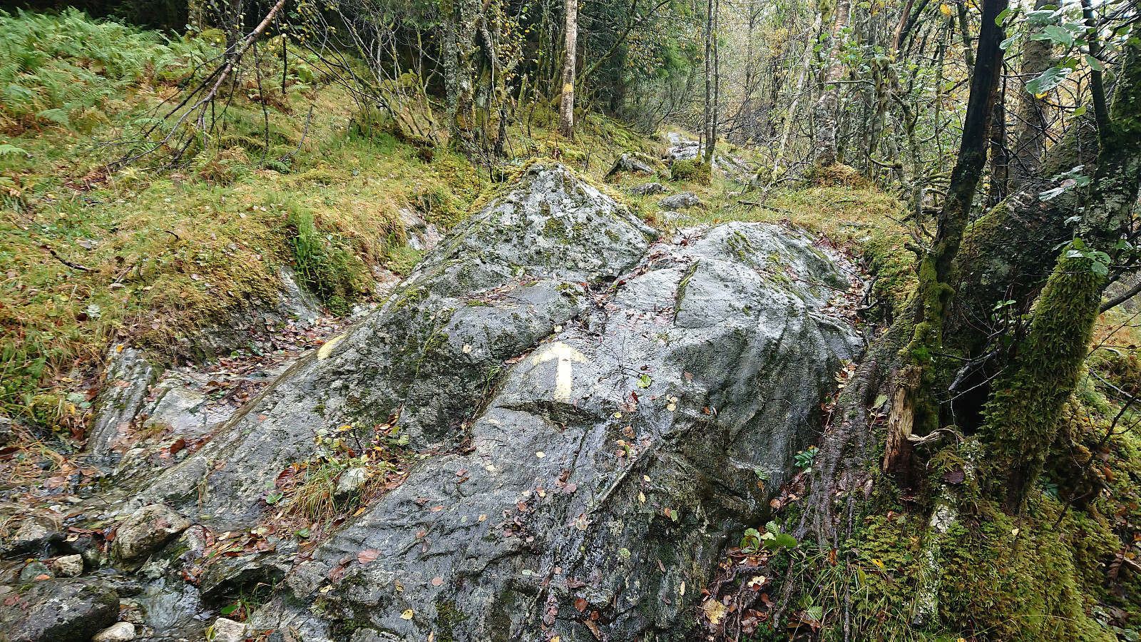
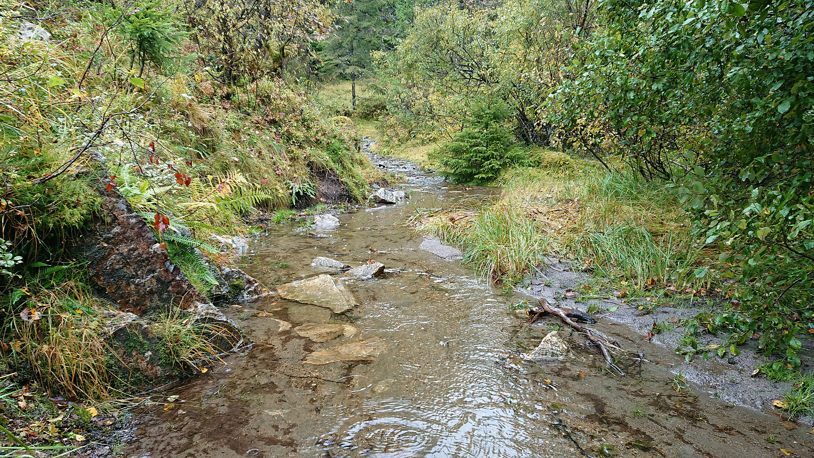
Started by taking the bus (or rather, bus, train and then bus again) to Gjerstad and the bus stop called Presttun. From there I followed the road and later trail in the direction of Storavatnet. This included passing through a couple of gates before crossing the river south of Gjerstadfossen. There was an information sign at Gjerstad, and after the initial confusion of which road to pick, it was straightforward to follow the marked trail (marked with yellow paint) all the way to Litlavatnet.
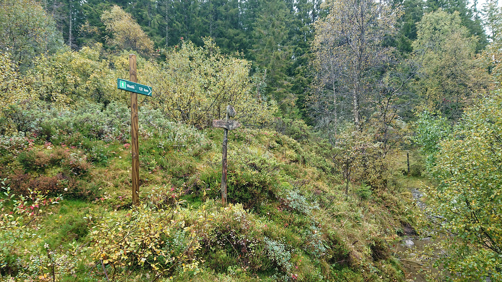
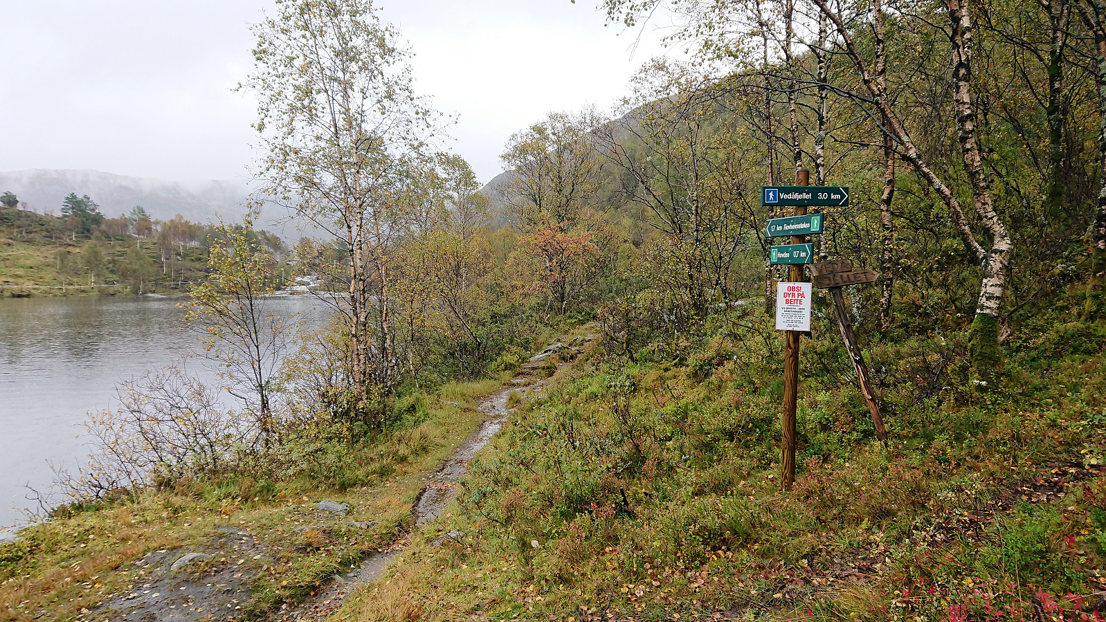
I did however still manage to make two unnecessary detours. The first shortly after crossing the bridge, where I missed the trail splitting left (east) and leaving the tractor road. This one was however quickly corrected. The second detour was a slightly more costly, and occurred when I came across a sign for Vedå, just before reaching Litlavatnet, where I assumed that this trail would also lead me in the direction of Vedafjellet. Only after about 200 meters on a very wet trail did I realize that this was not the case and had to retrace my steps to Litlavatnet, where I shortly after located the sign for Vedafjellet.
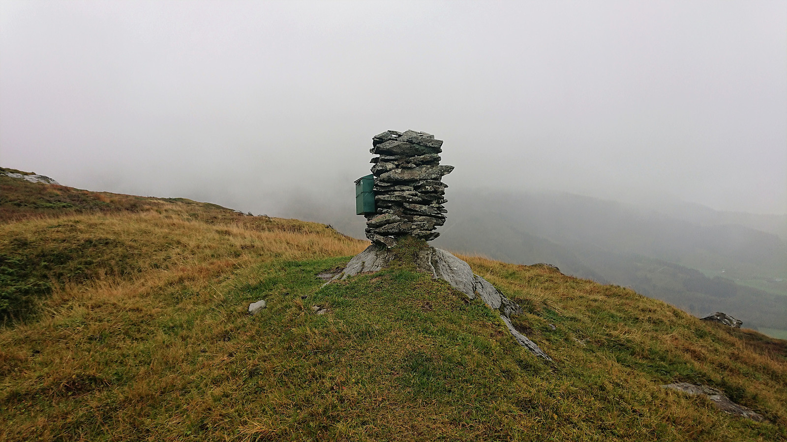
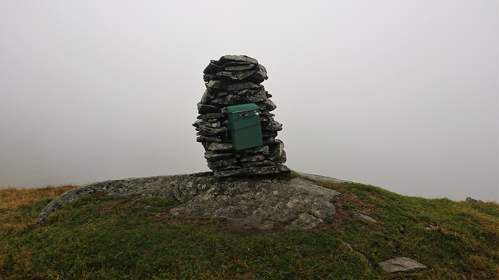
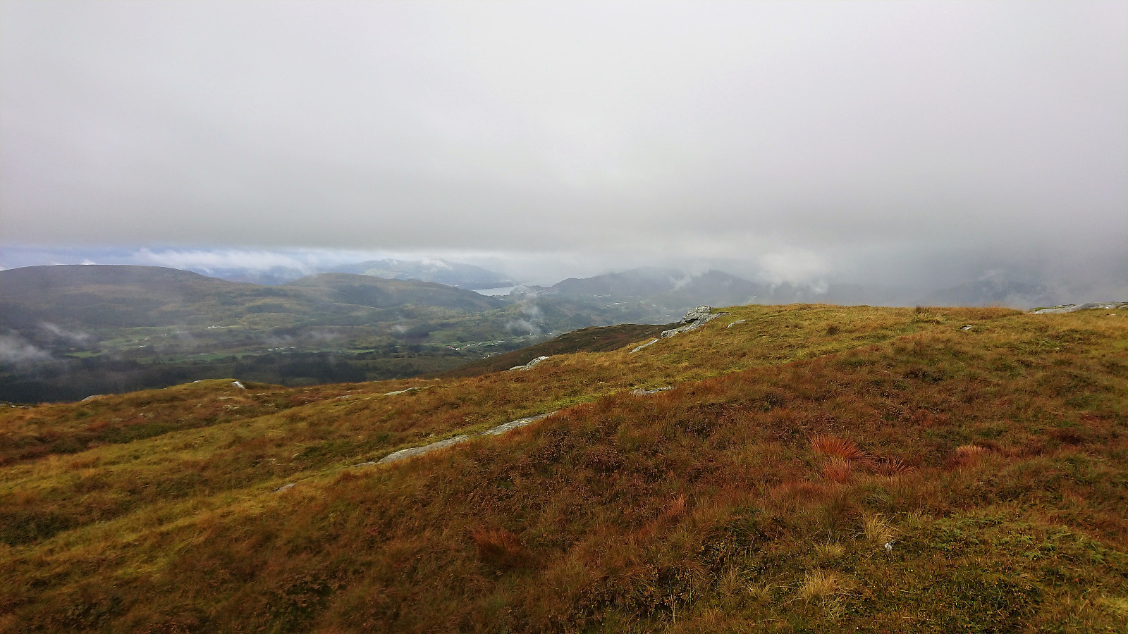
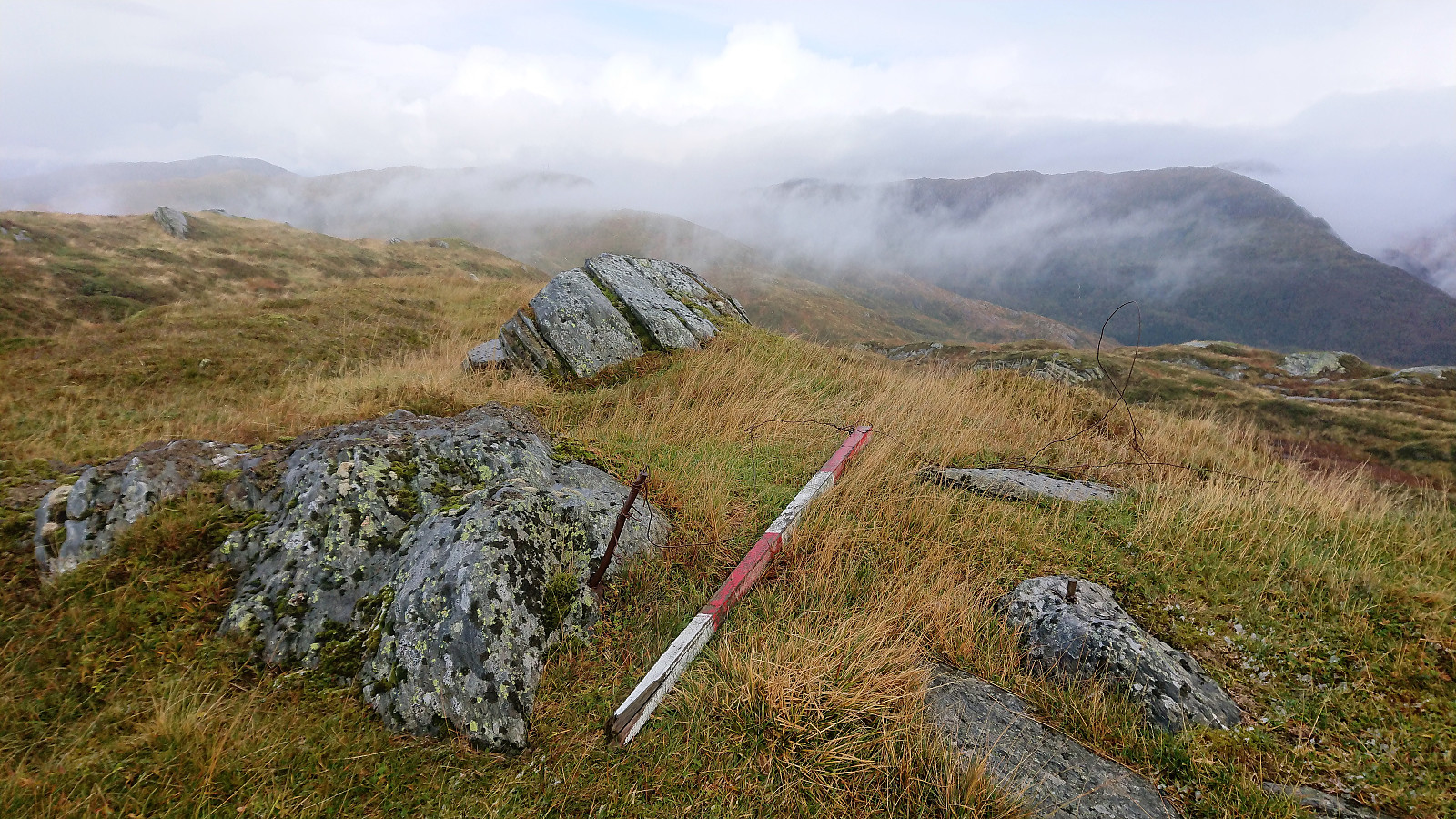
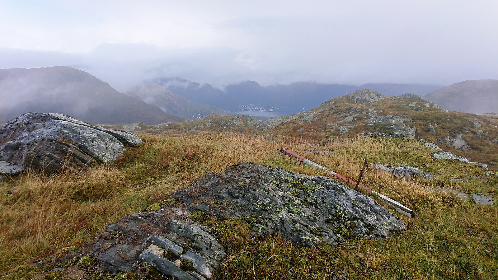
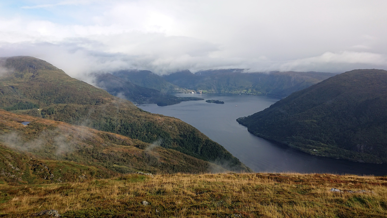
With these initial detours out of the way I then made it to the large cairn at Setevarden without any problems. The trail here was marked and easy to follow, although very wet. Soon low-hanging clouds also blocked most of the views. As I continued towards the highest point of Setevarden east of the cairn, it also started snowing. Definitely not the weather I had been hoping for.
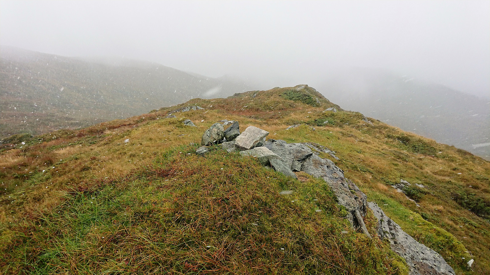
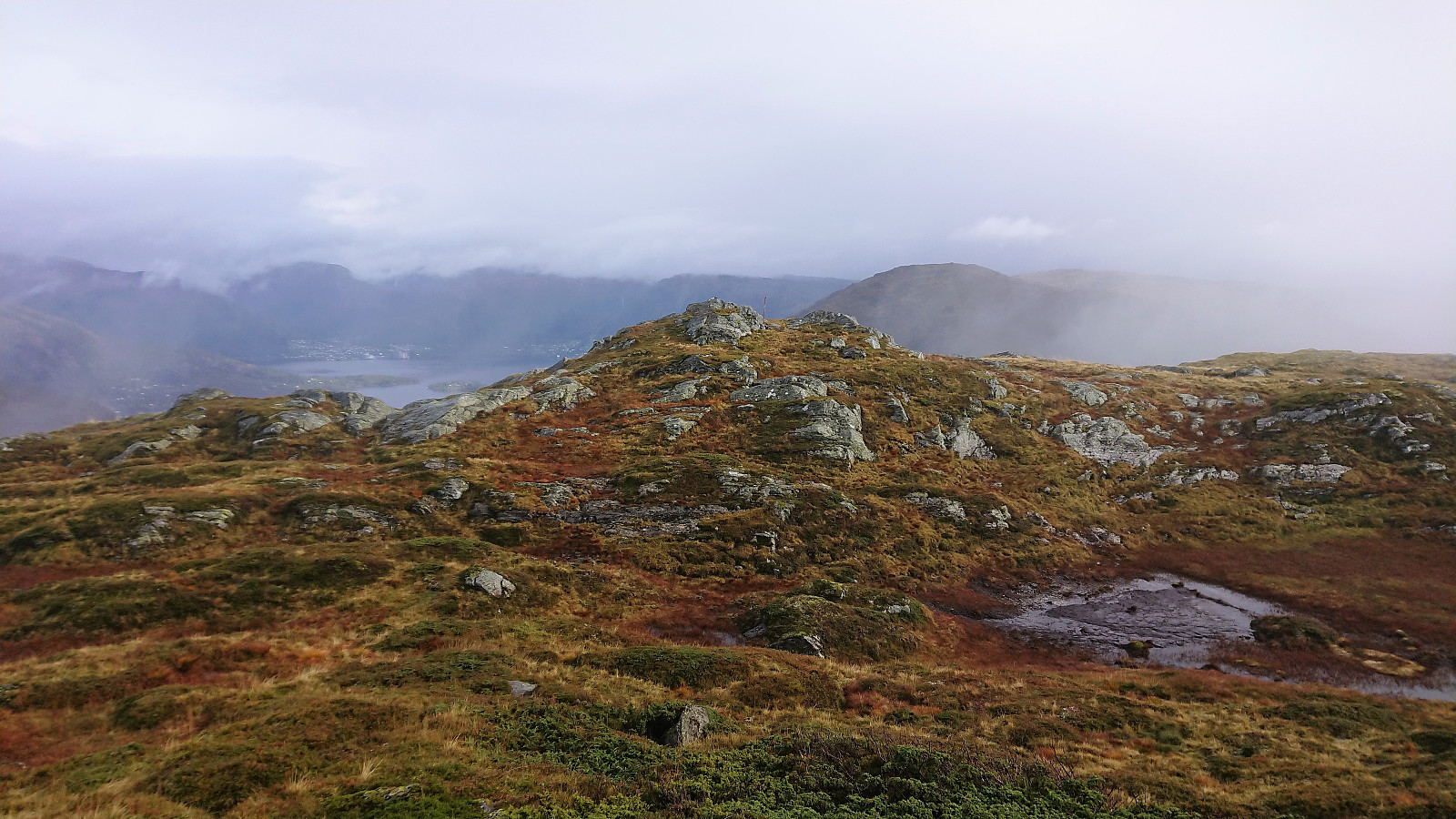
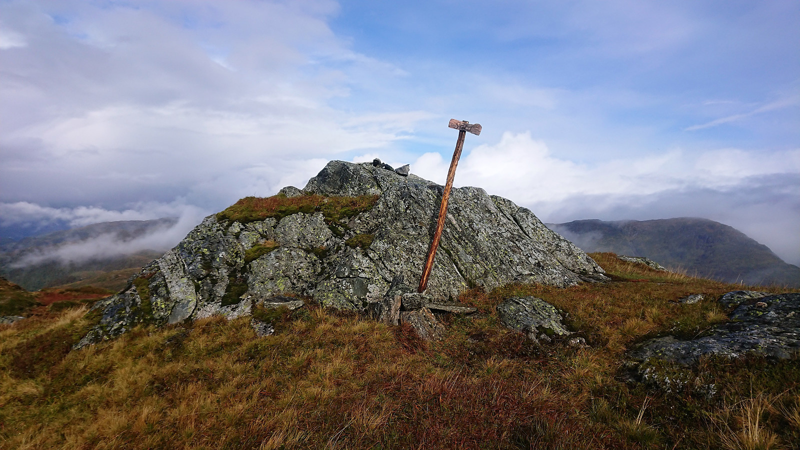
I decided to continue anyway, and luckily the weather cleared up just before reaching the summit of Vedafjellet. And for a short while the sun even came out. The views were still rather limited, but a big improvement compared to the earlier snow. But the sun did not stick around for long, and was gone even before I left Vedafjellet to continue south towards Såtefjellet.
Såtefjellet
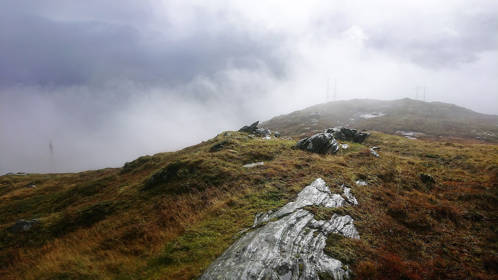
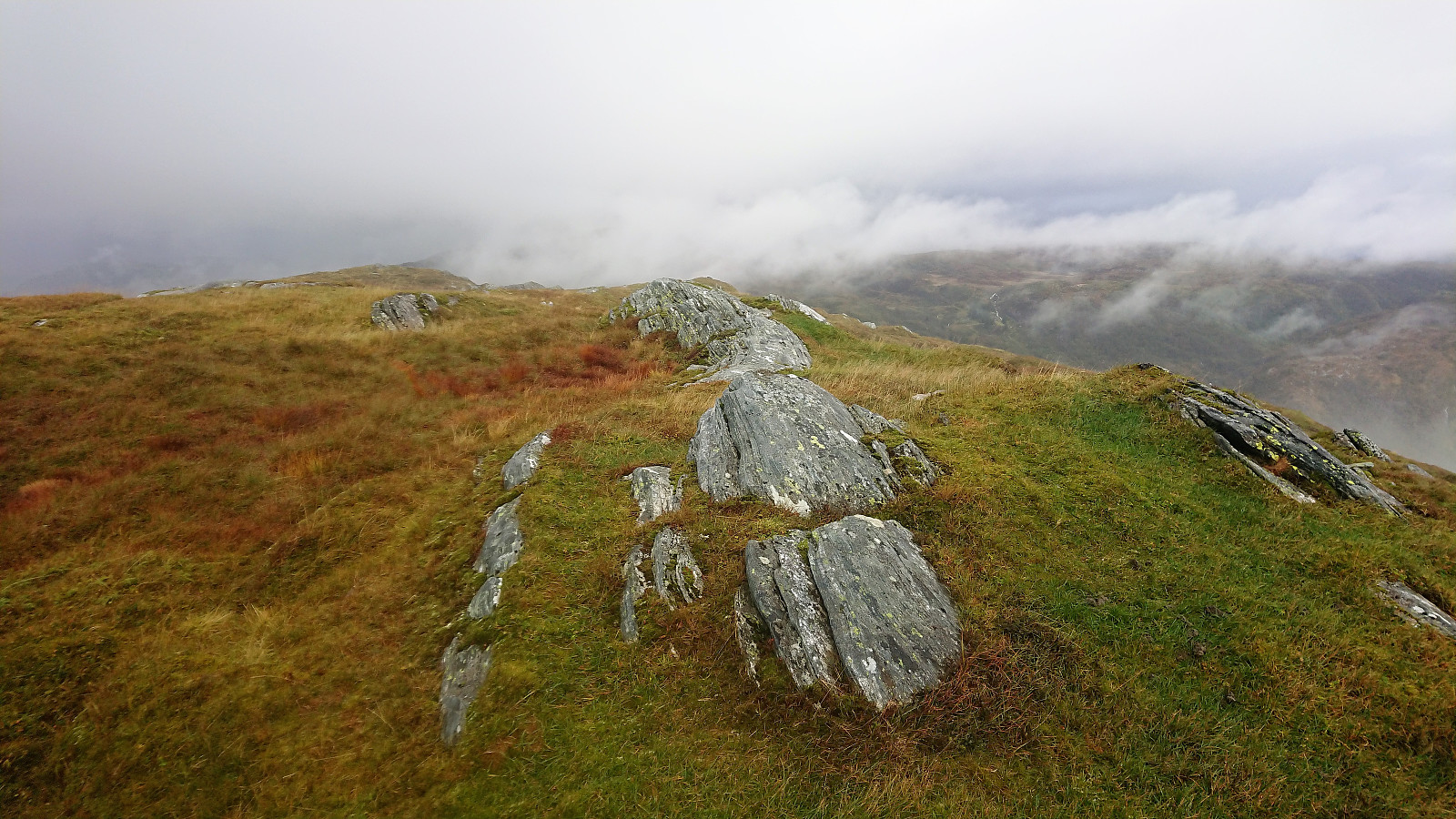
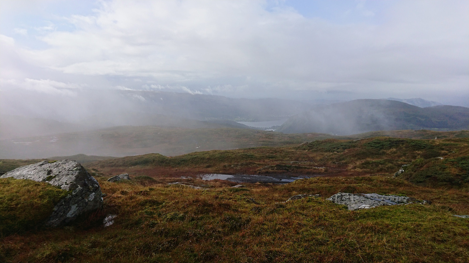
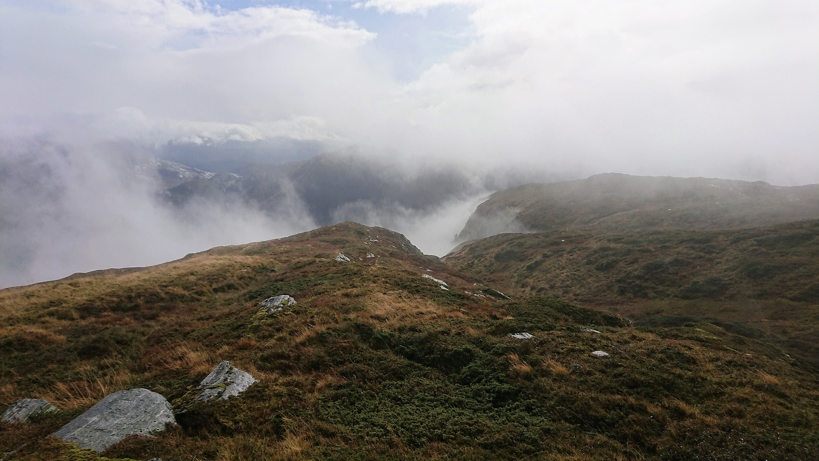
At first there was a weak trail, but this soon disappeared, and I ended up having to make my own way, only at rare intervals connecting with weak traces of trails or animal tracks. The terrain consisted of numerous smaller hills that had to be traversed, often requiring going down one hill only to go up the next one. The only positive being that this allowed me to sometimes get out of the wind that had started to pick up. Ended with half-climbing up a steep grass-covered hill in order to reach the summit area of Såtefjellet.
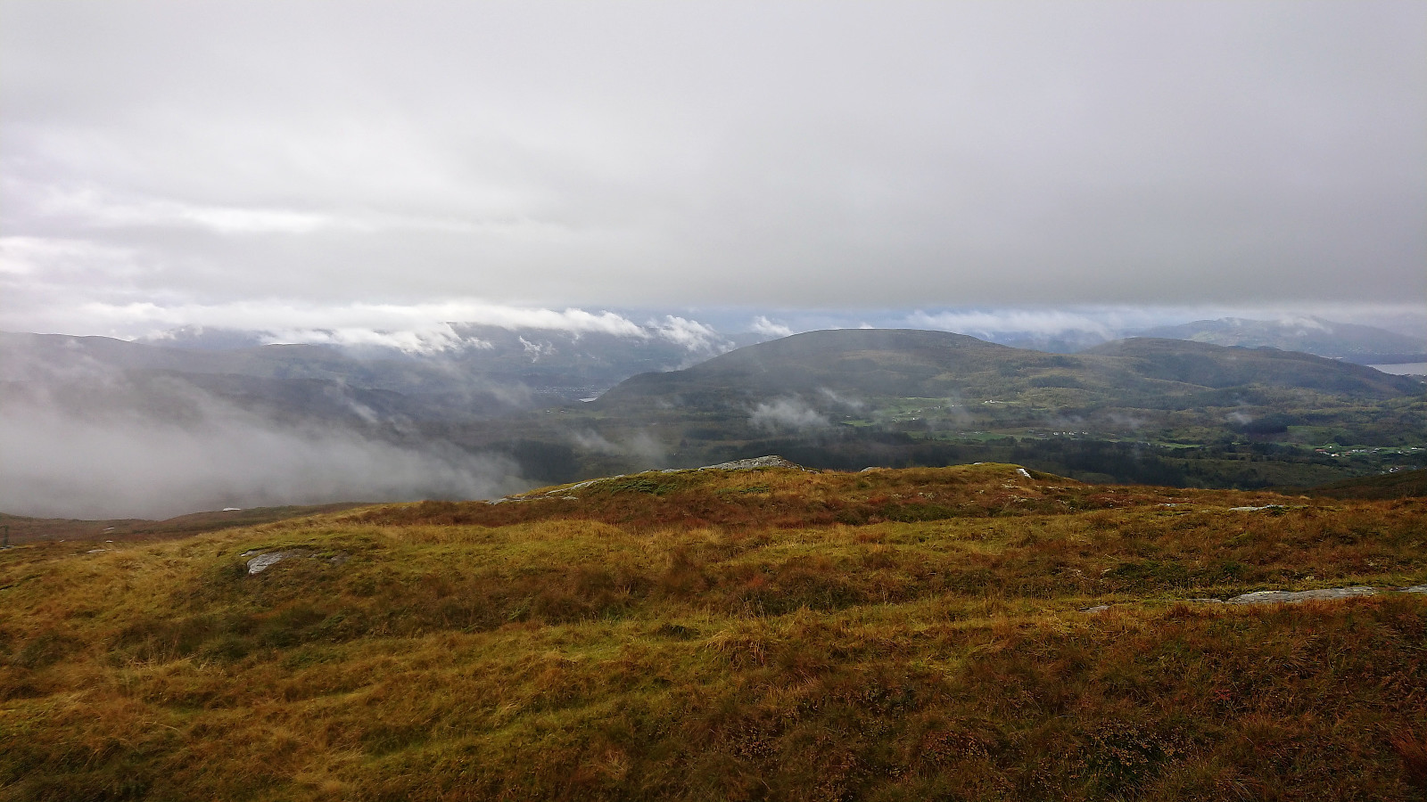
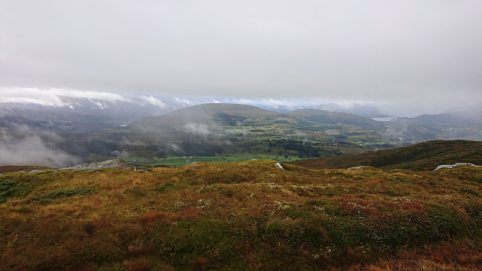
But again I was lucky with the weather at the summit. Once again it stopped raining and the sun came out. The views were still limited, but at least I could get a nice view toward Bruvik and Vaksdal. Did not stay long, as I was now starting to get rather wet and cold. It was only going to get worse though...
Shortly after leaving Såtefjellet behind, it started raining/snowing again. This time even heavier than before and now combined with slightly stronger winds. In order to not damage my phone, I placed it safely in my backpack, thus leaving myself without a map. Normally this would not have been a big problem in such an open area, but with the low-hanging clouds blocking everything but the next hill in front of me, this made the navigation rather challenging.
I was therefore very happy when I finally arrived at the eastern side of Havredalen and could see the valley below me. The only remaining issue was how to actually get down there? Did not see any trails, and was not in the mood for spending a lot of time searching for one, so I decided to try the most direct route possible. This did require a bit of light climbing in between the trees, but was overall fairly easy. There are probably much better routes though.
As I finished the descent I came to a fence with lots of cattle on the other side. Decided to follow the fence south, assuming there would be an opening or a gate, but instead ended up getting to where the fence turned west, from where I could easily connect with the tractor road down to Blom.
Down to Blom
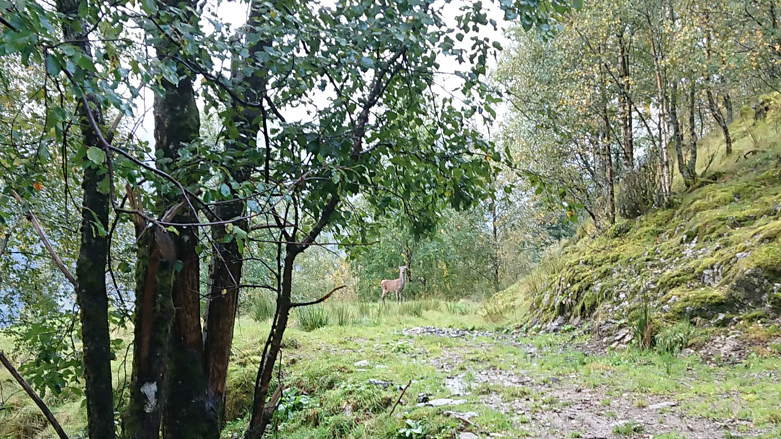
I was prepared for coming across more cattle as I was descending toward Blom, but to my surprise I first came across a deer in the middle of the road. I guess the wind came from the right direction, as I managed to get my phone out of my backpack and take a picture before it noticed me and quickly ran off.
Before reaching Blom I also came across a small herd of cattle, but these could be passed without much difficulty. From Blom I followed the road west to the bridge with the plan to take the bus either from Kvisti or Herland on the opposite side. But as I got closer to the bridge I realized that all of the potential busses required too much waiting, especially now that I was even wetter and colder than before. I was therefore lucky to manage to arrange to be picked up, which happened just after reaching Takvam.
Conclusion
While I was prepared for a wet hike, this hike clearly turned out significantly wetter and colder than expected. The lack of any real trails all the way from Vedafjellet until reaching Havredalen also resulted in a harder hike than I had hoped for. In other words, not really a hike that can be recommended. Although better weather would have helped a bit. But maybe I should have been prepared for all of these struggles after knowing the ominous height of Såtefjellet: 666 meters..? ;)

| Startzeitpunkt | 23.09.2018 10:59 (UTC+01:00 SZ) |
| Endzeitpunkt | 23.09.2018 16:31 (UTC+01:00 SZ) |
| Gesamtzeit | 5h 31min |
| Zeit in Bewegung | 5h 07min |
| Pausenzeit | 0h 23min |
| Gesamtschnitt | 3,4km/h |
| Bewegungsschnitt | 3,7km/h |
| Entfernung | 18,8km |
| Höhenmeter | 1.185m |


Benutzerkommentare