
Dyrfjallstindur (13.08.2018)

Written by torehum (Tore Humstad)
| Start point | Bakkagerði (44m) |
|---|---|
| Endpoint | Bakkagerði (50m) |
| Characteristic | Hillwalk |
| Duration | 4h 54min |
| Distance | 10.7km |
| Vertical meters | 1,028m |
| GPS |
|
| Ascents | Dyrfjallatindur (1,024m) | 13.08.2018 |
|---|
Afternoon climb to the easiest of the three summits of the Dyrfjöll mountain range in the minicipality of Borgarfjörður in Eastern Iceland. We started in the village Bakkagerði and hiked the mountain from the eastern side.
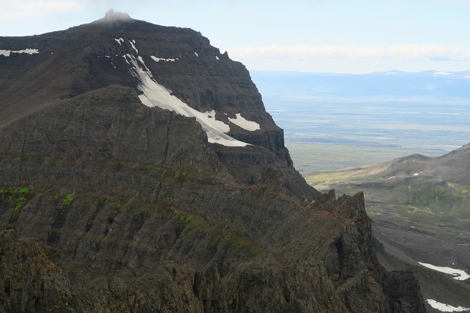
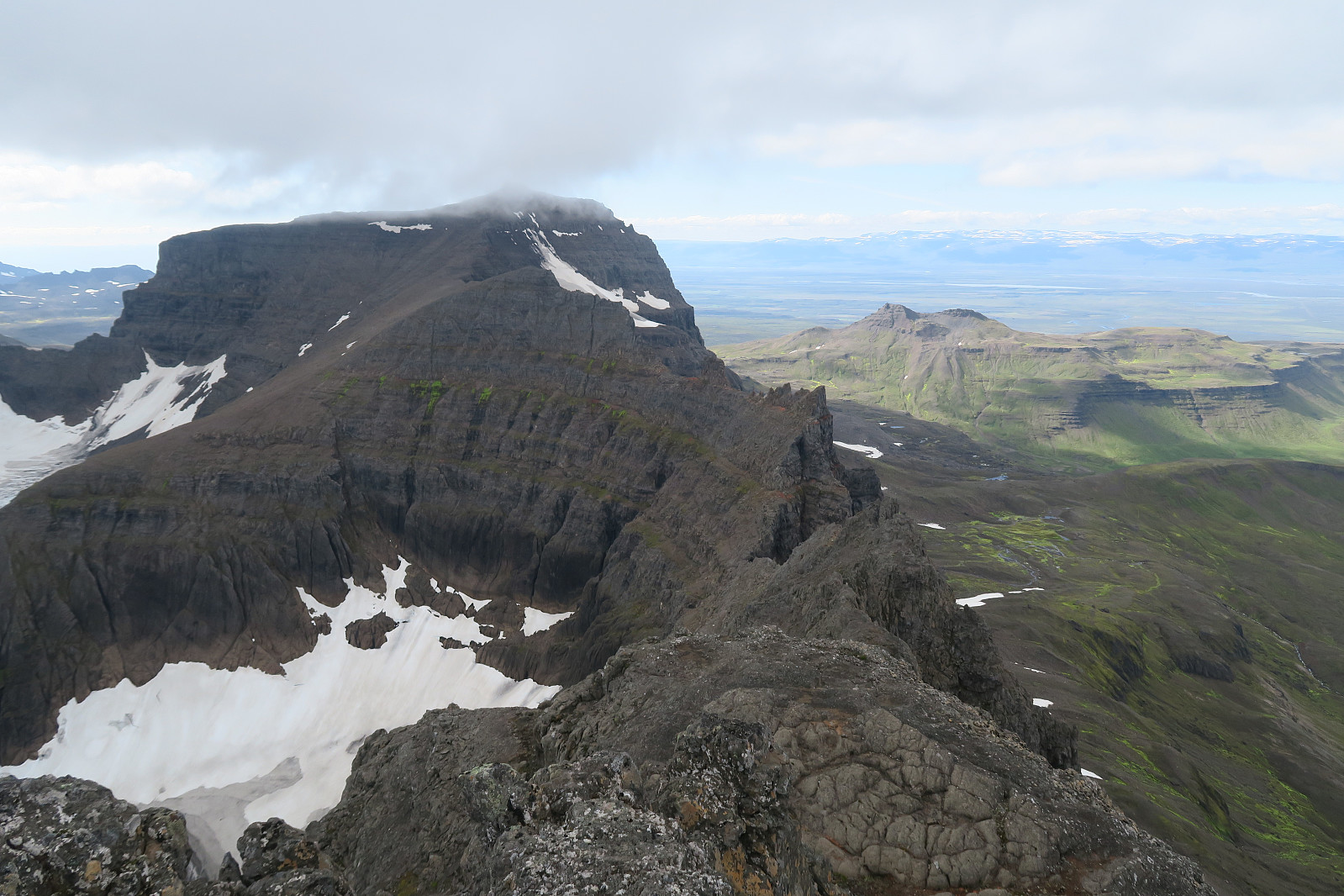
Dyrfjöll
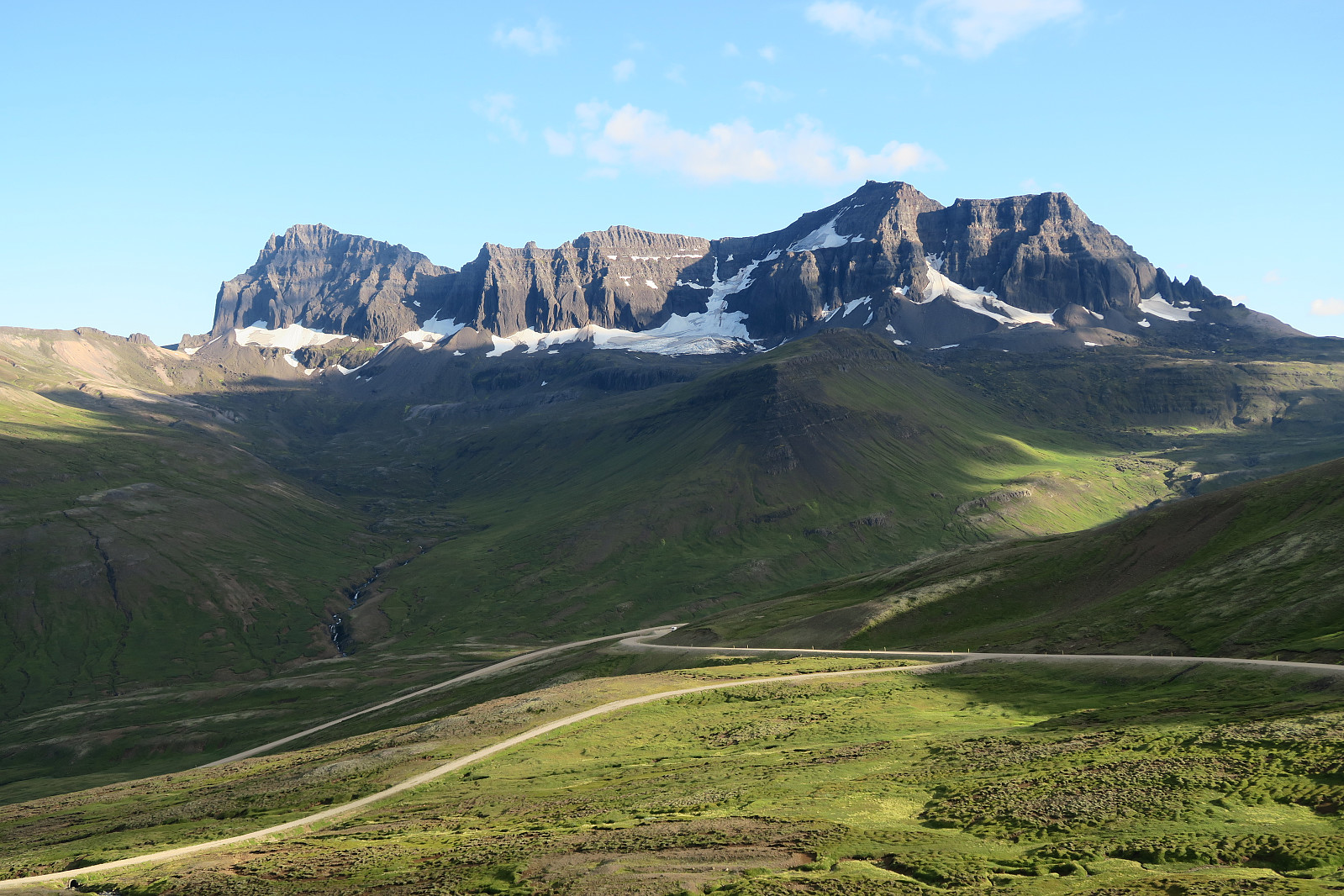
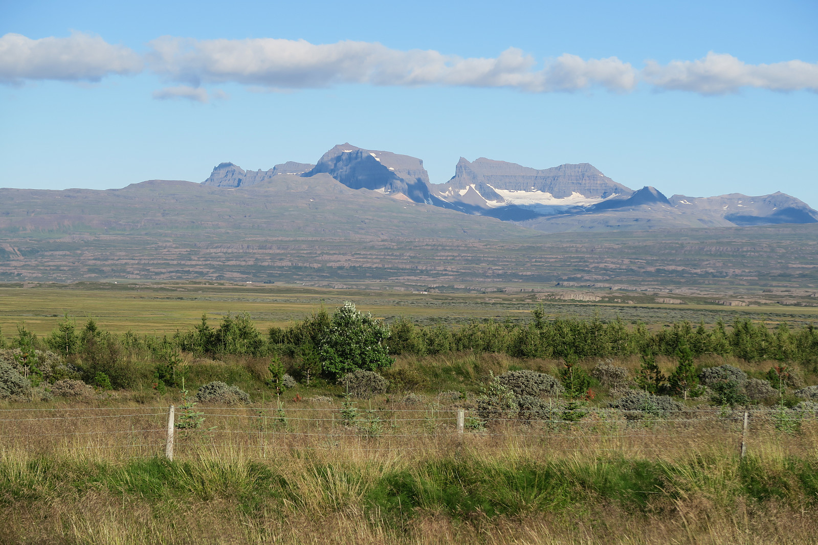
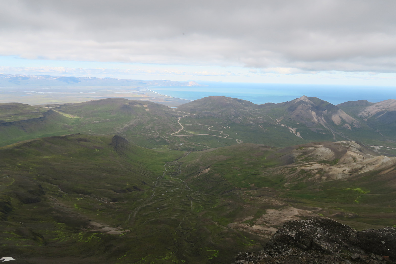
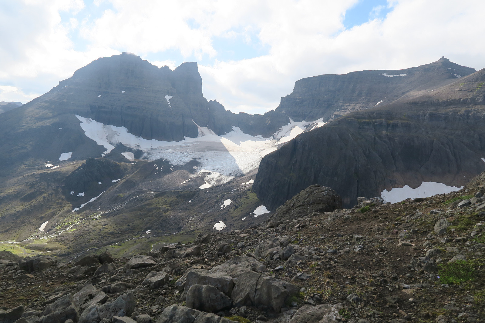
Dyrfjöll (meaning the Door Mountains) are the highest mountains (1136 m) on the Borgarfjordur Bay. They consist of Ytra-Dyrfjall (also called Súla), Fremja-Dyrfjall and Dyrfjallstindur (this mountain). Their name is derived from a prominent mountain pass called Dyr (the Door) at 856 m above sea level. We stayed at the campground Bakkagerði, and through Google and visual impression, Dyrfjallstindur seemed to be the only one possible to climb with out climbing equipment. We still don´t know for sure if this is true, so any comments or local information is welcomed.
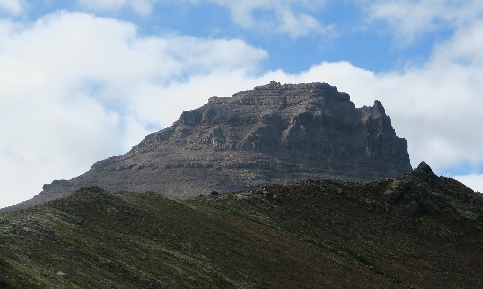
Dyrfjallstindur
We drove 1,0 km into Hólalandsvegur (road 946) from Borgarfjörðarvegur (road 94), and after 1 km we took first right, and then quickly left and another 300 m along a narrow dustroad to the trailhead (see tracklog for trail head). Here we parked the car carefully so it shouldn´t obsruct the tractors that were used at the field next to us. A trail along the river Grótlja was marked with green and yellow poles. We followed this trail for a while, before we headed for the west rigde of Dyrfjallstindur.
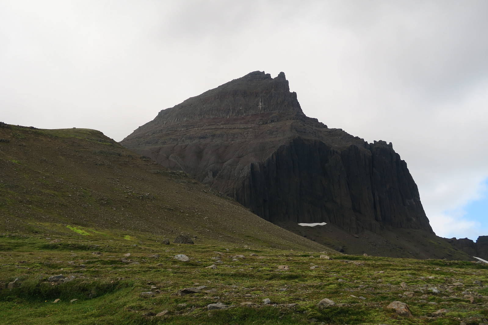
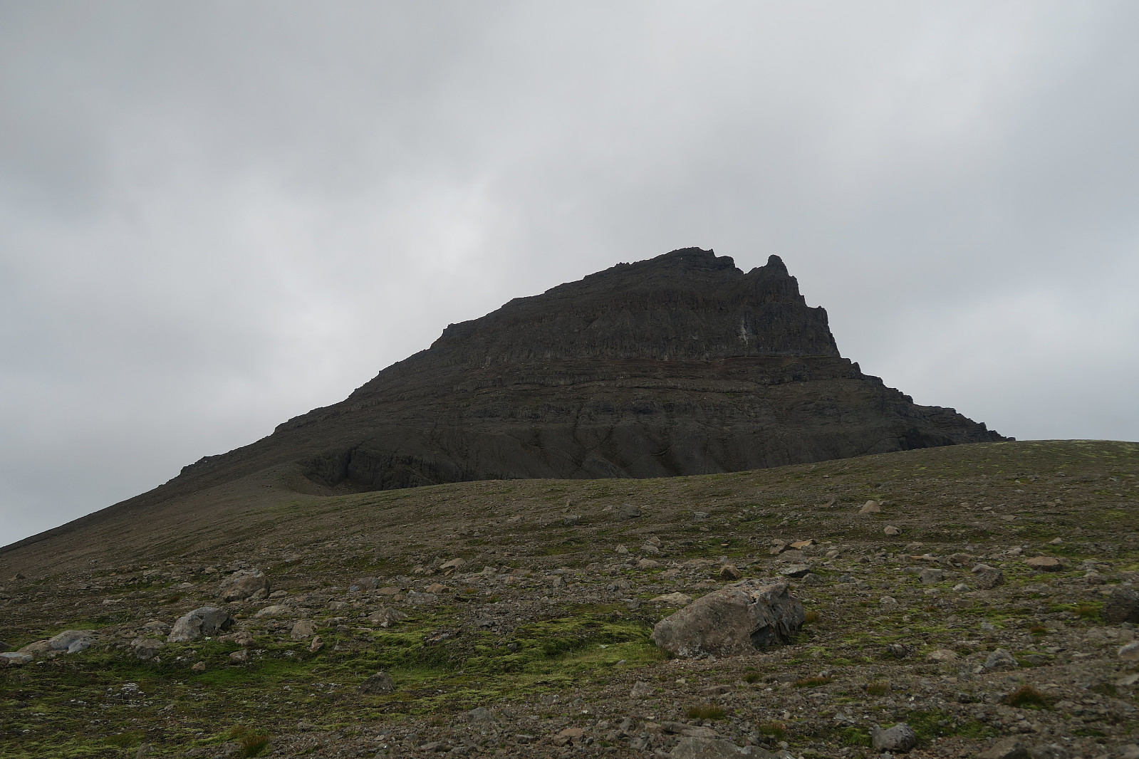
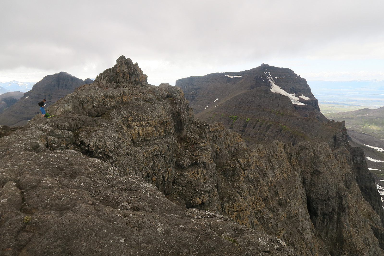
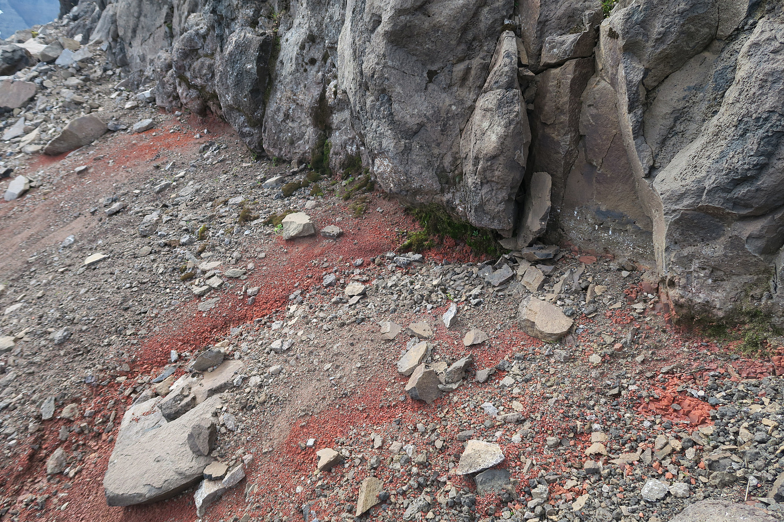
As we had crossed over to the western ridge, we could continue the ascend. But we didn´t follow the very ridge up to the summit. We rather followed a form for scar or lineament crossing the mountain diagonally over to the eastern ridge.
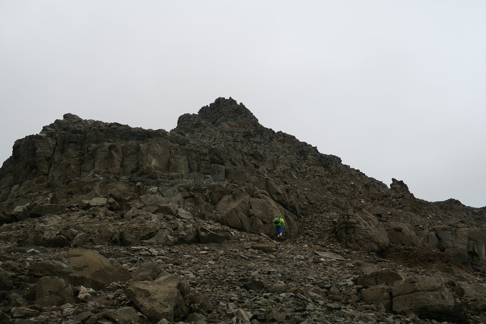
From the eastern corner, we could again go towards west, this time 50 m traversing on a somewhat flat ledge.
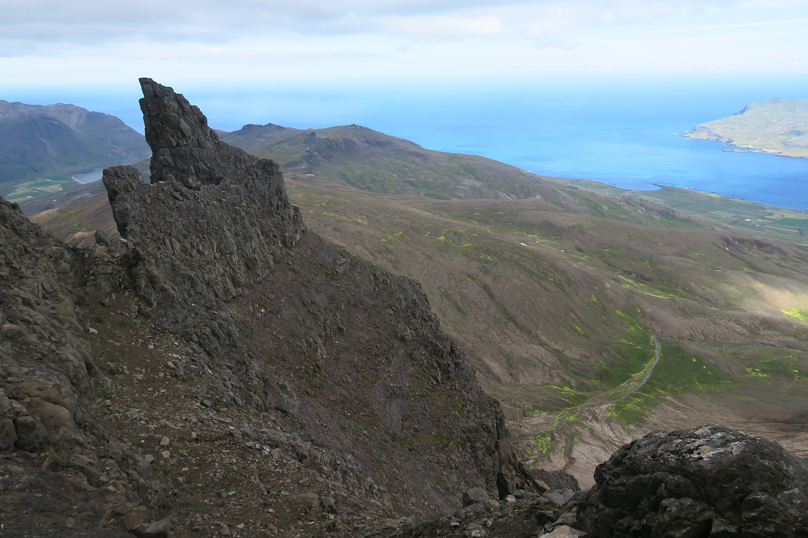
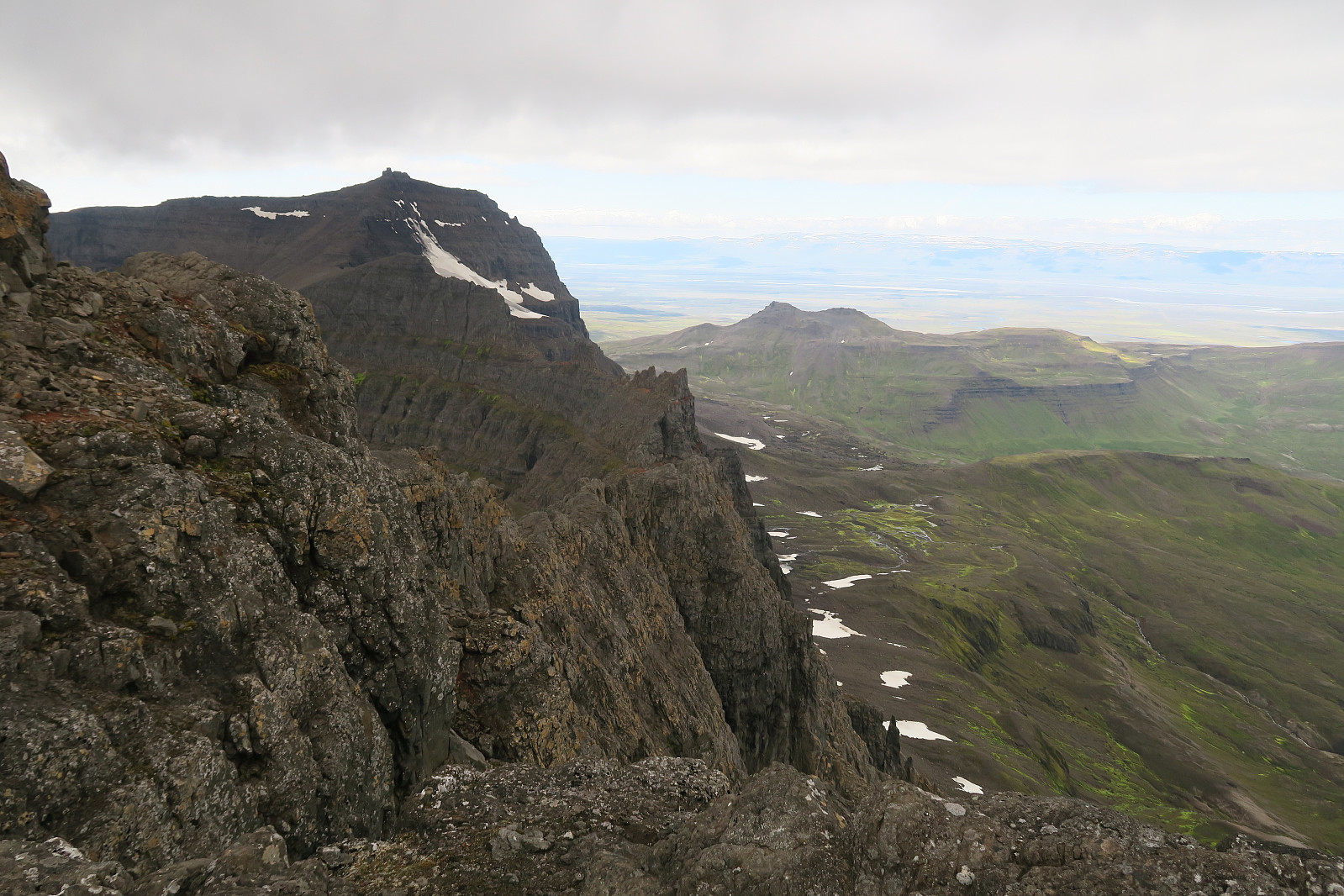
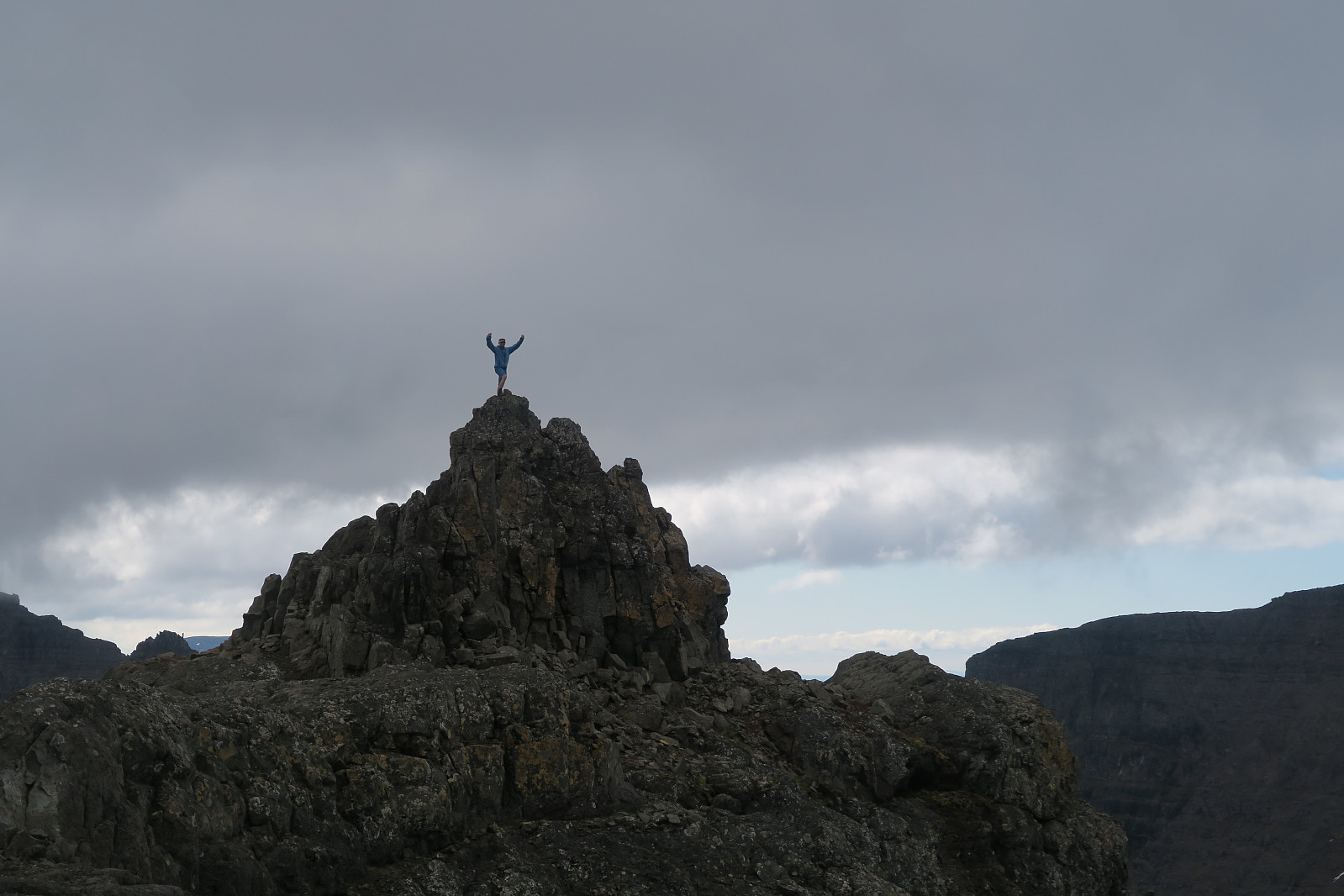
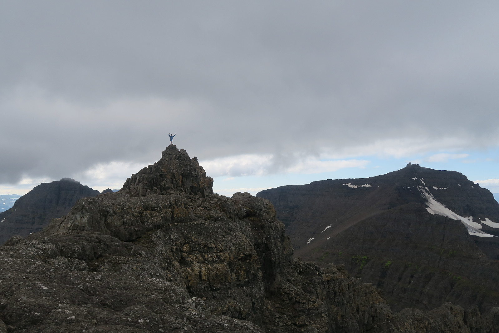
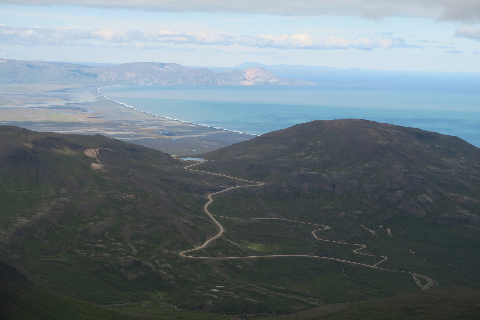
From here we scrambled easily straight up to the top ridge. The view from the top was obvously very good. Some pictures may be seen below.

The descend followed the same lineament down to the western ridge. From here we took a more straight route back to the trailhead where we started.
| Start date | 13.08.2018 13:20 (UTC+01:00 DST) |
| End date | 13.08.2018 18:14 (UTC+01:00 DST) |
| Total Time | 4h 54min |
| Moving Time | 3h 56min |
| Stopped Time | 0h 57min |
| Overall Average | 2.2km/h |
| Moving Average | 2.7km/h |
| Distance | 10.7km |
| Vertical meters | 1,028m |


User comments