
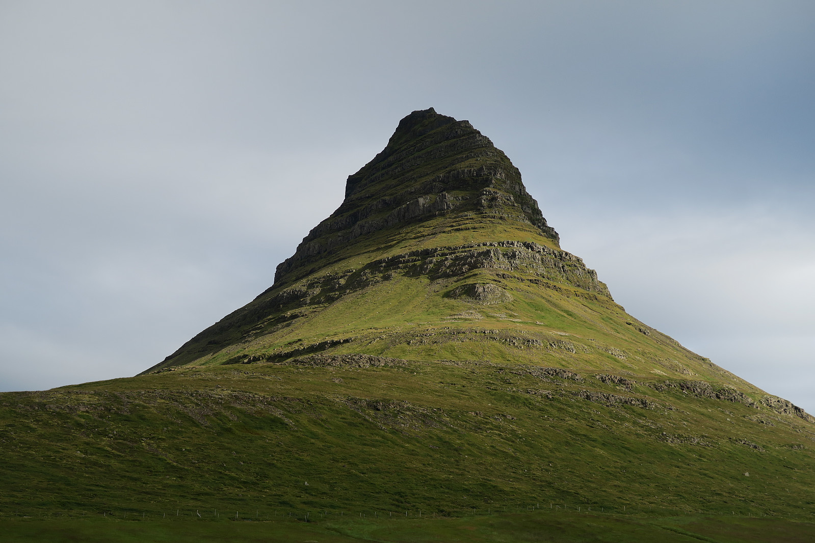
Kirkjufell (16.08.2018)

Skrevet av torehum (Tore Humstad)
| Turtype | Fjelltur |
|---|---|
| Turlengde | 2t 57min |
| Distanse | 5,7km |
| Høydemeter | 539m |
| GPS |
|
| Bestigninger | Kirkjufell (463moh) | 16.08.2018 |
|---|
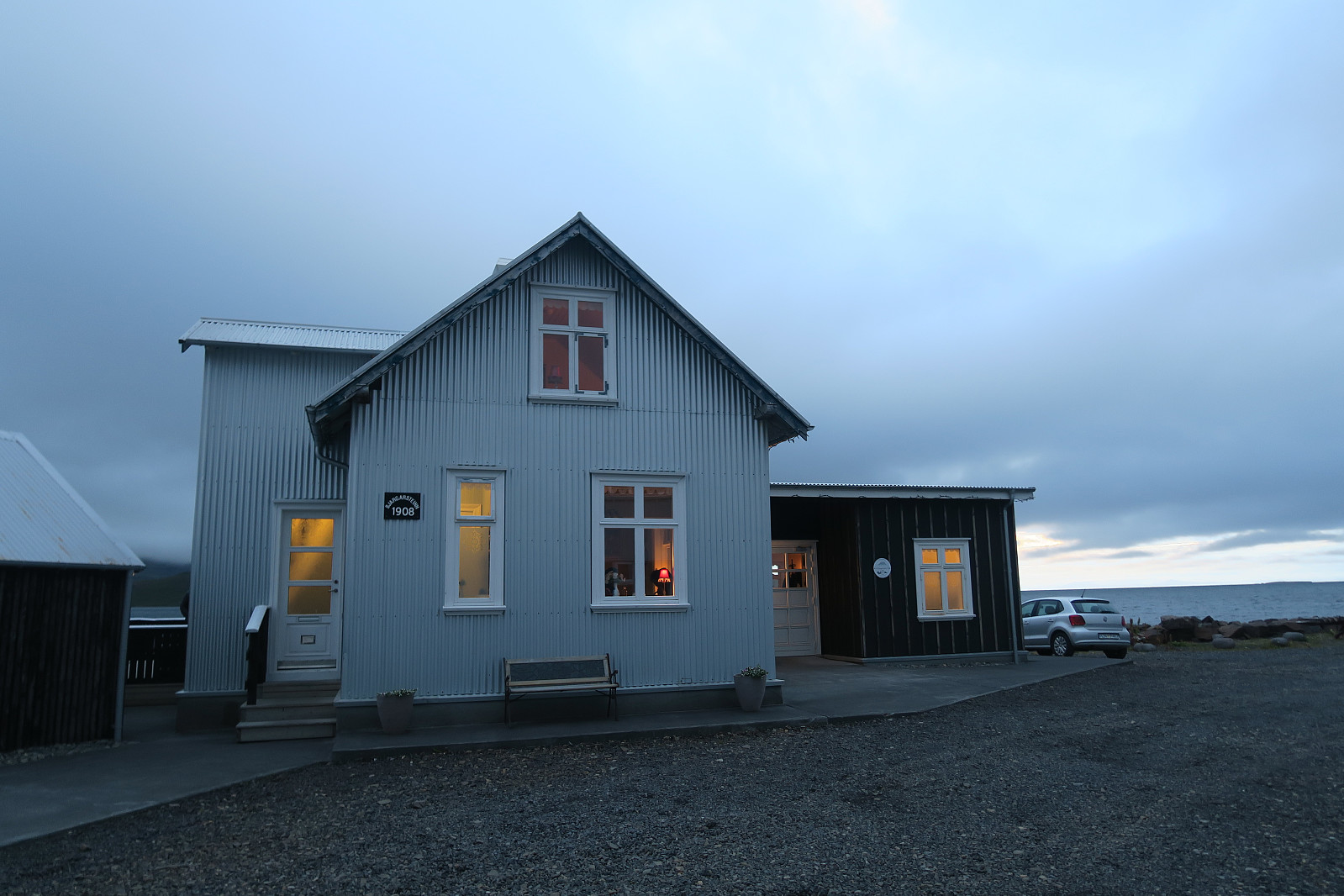
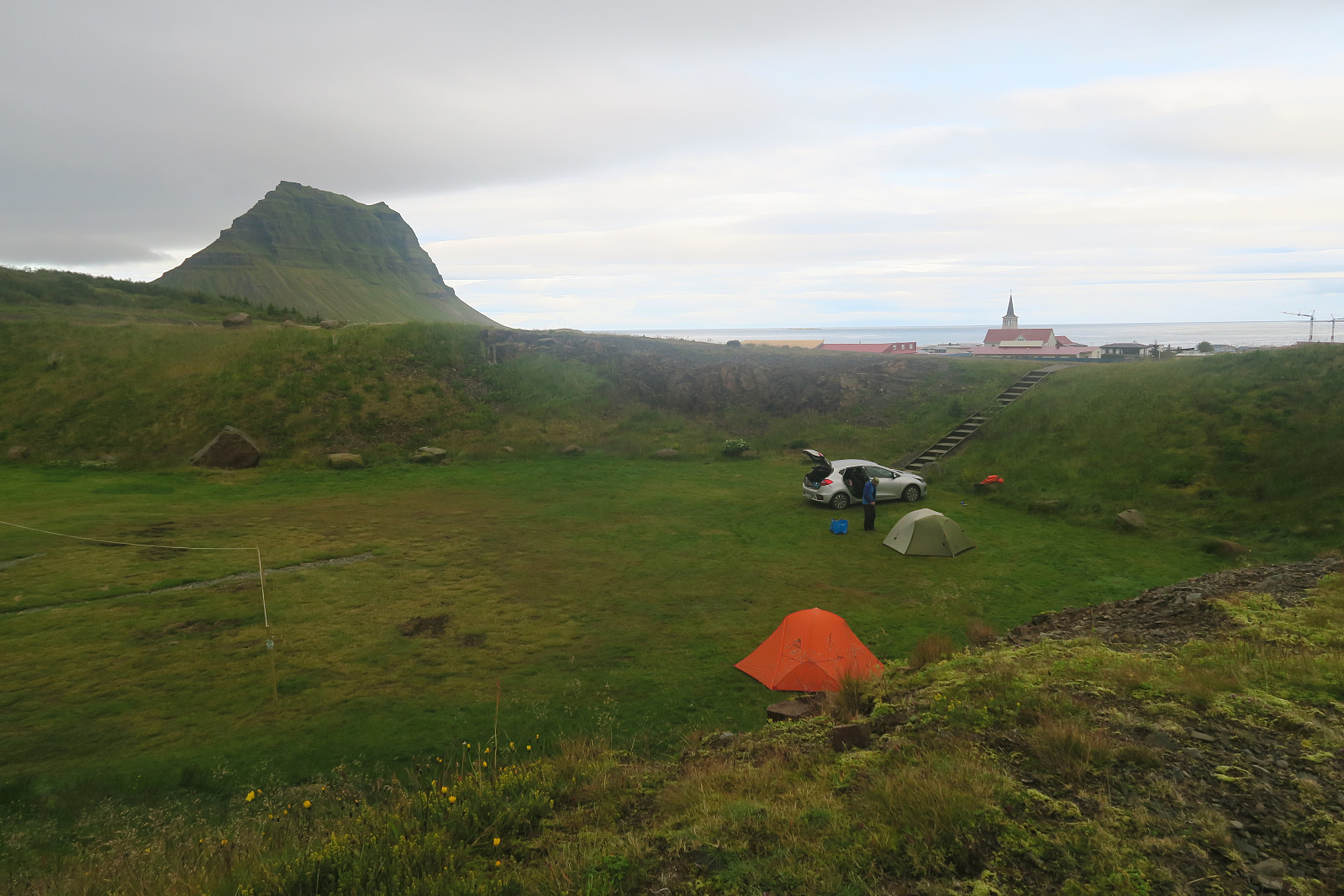
Having travelled along the Ring road for some days, climbing Kirkjufell (m a.s.l) seemed to be a natural thing to do before heading further around the Snæfellsnes peninsula. A good warm-up was to take a better meal at at the excellent Bjargarsteinn Mathús with a good view towards the mountain) the evening before – and to camp at the campground in Grundarfjörður (also with a view).
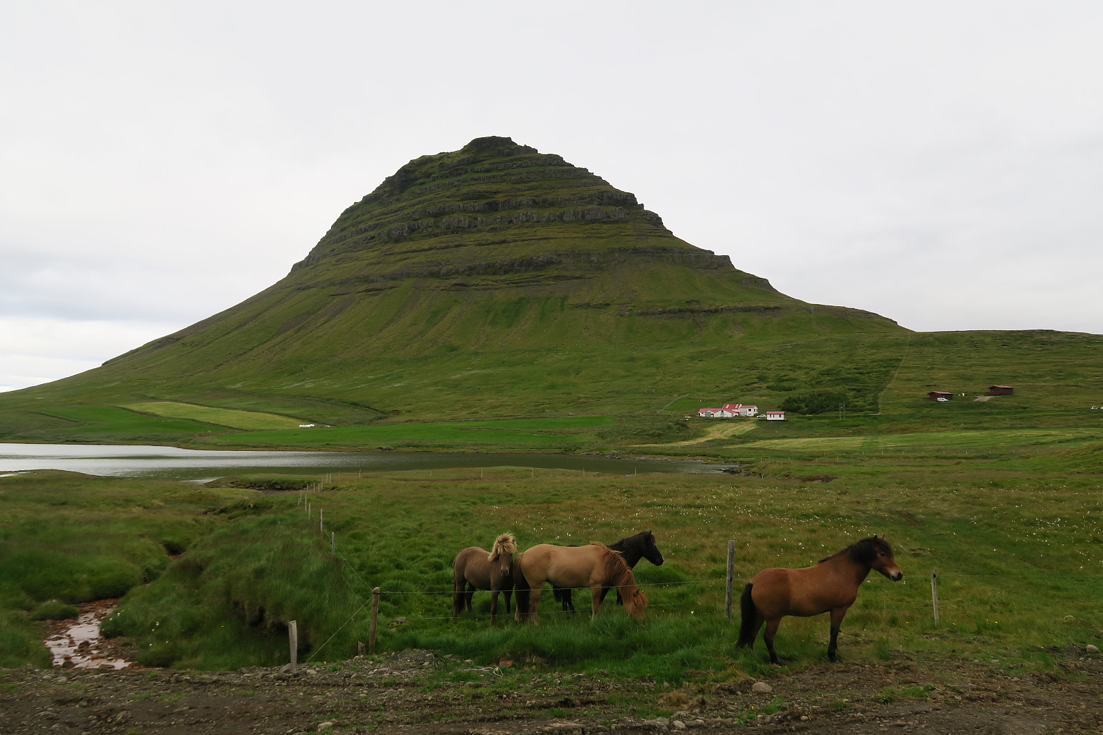
Kikjufell is for many known as the Arrowhead Mountian in the Game of Thrones series (season 6 and 7).
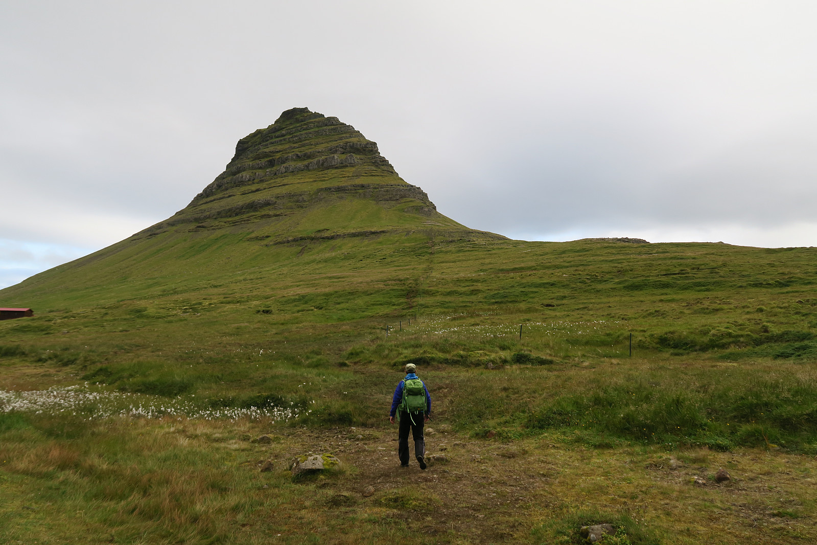
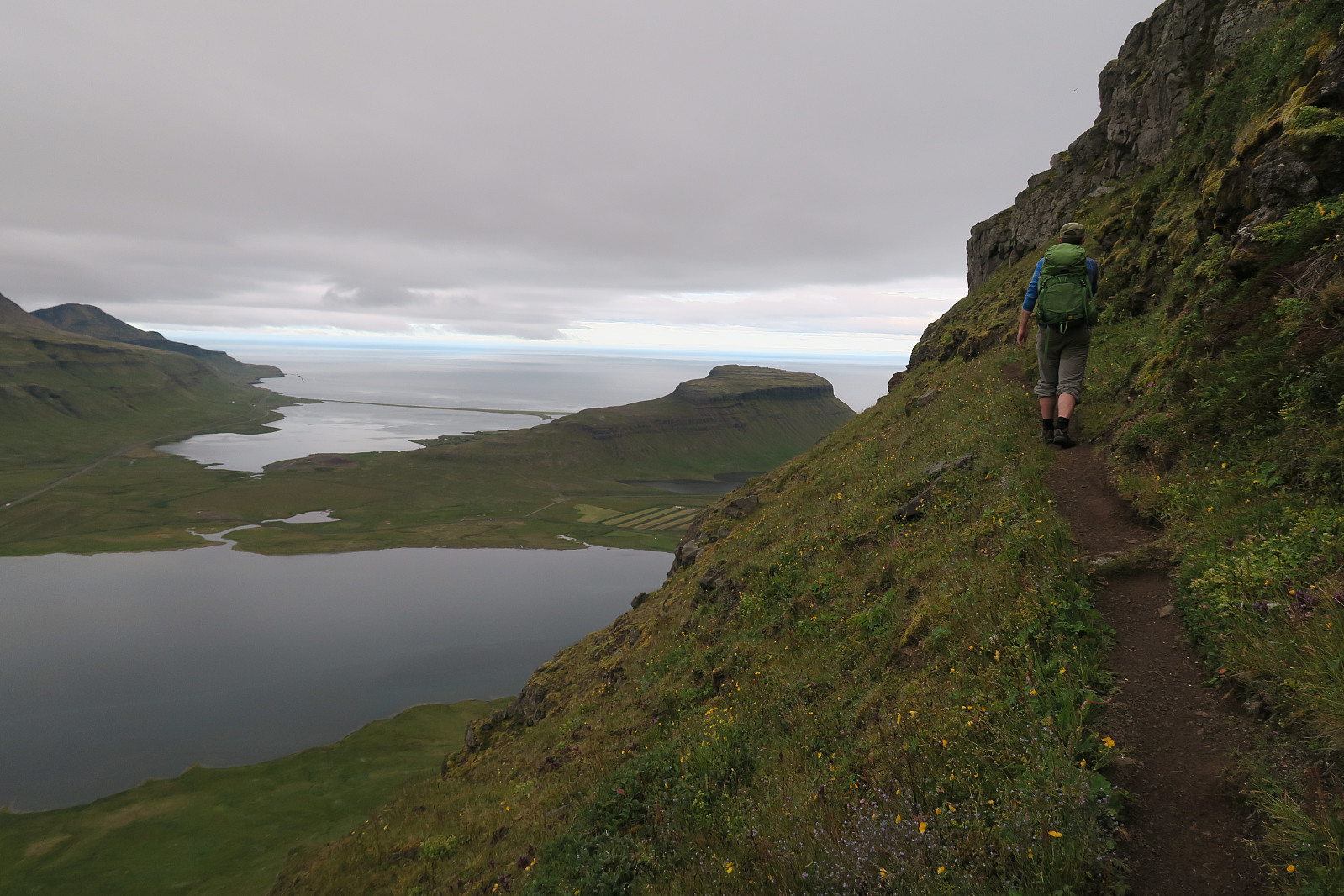
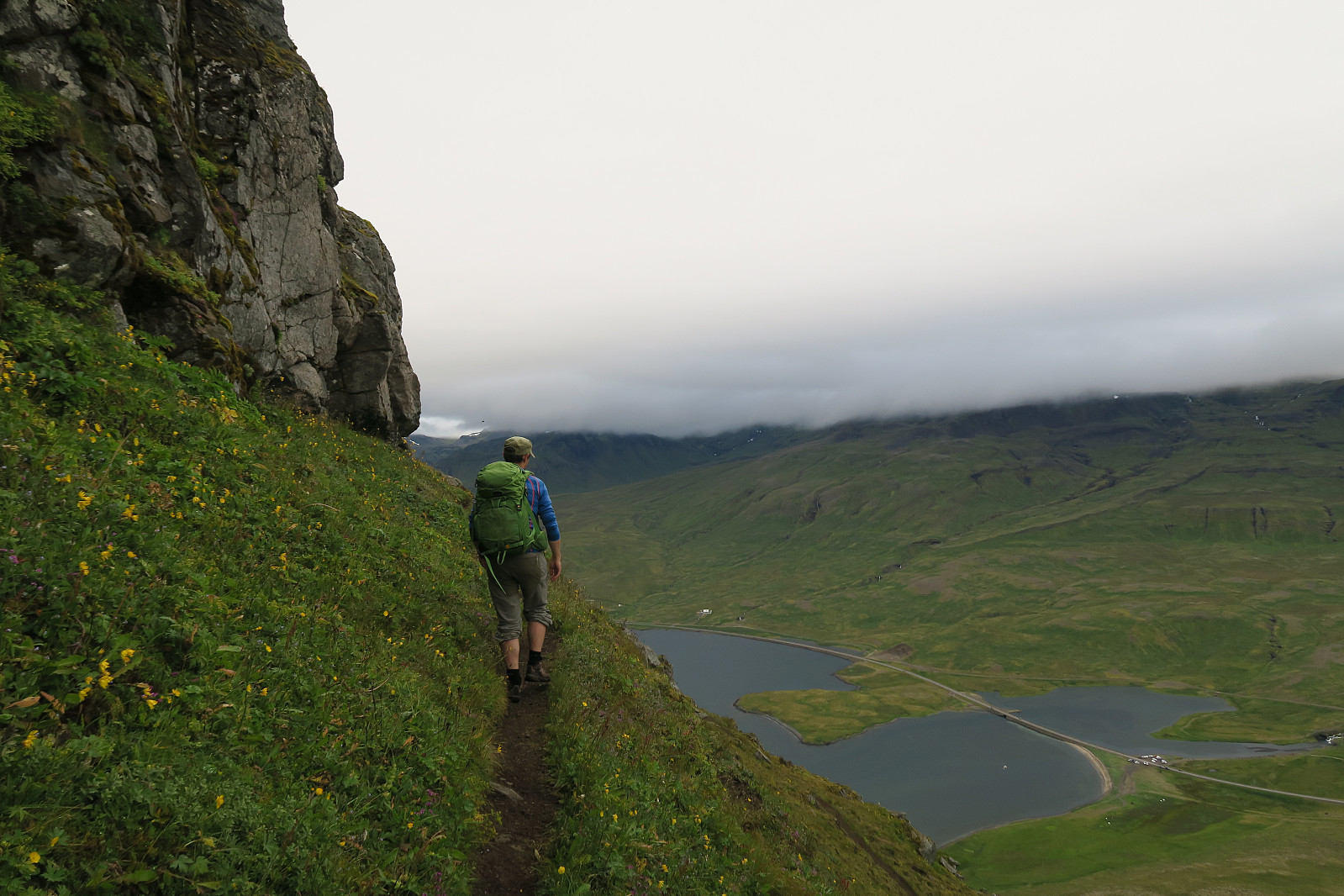
We parked at the parking for Kirkjufellsfoss since the more natural choice at Háls was marked with a "no parking" sign. From there we hiked about 100 m along Snæfellsvegur (54) up to Háls, and continued on the left side of a fenced pasture.
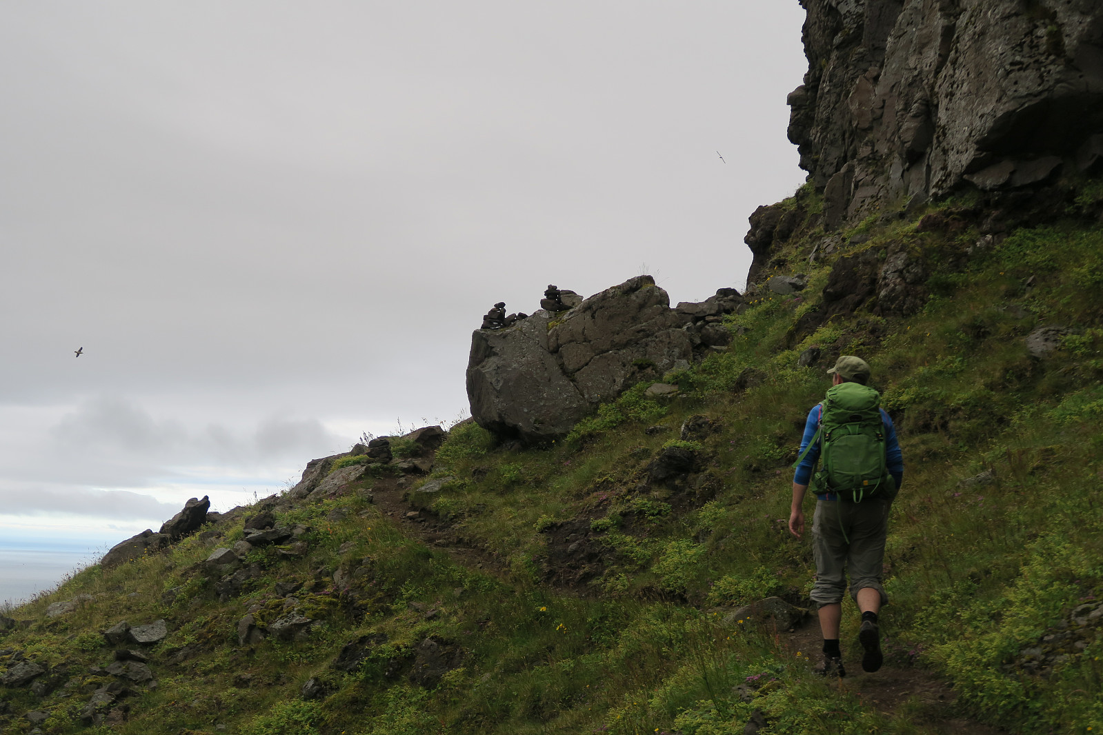
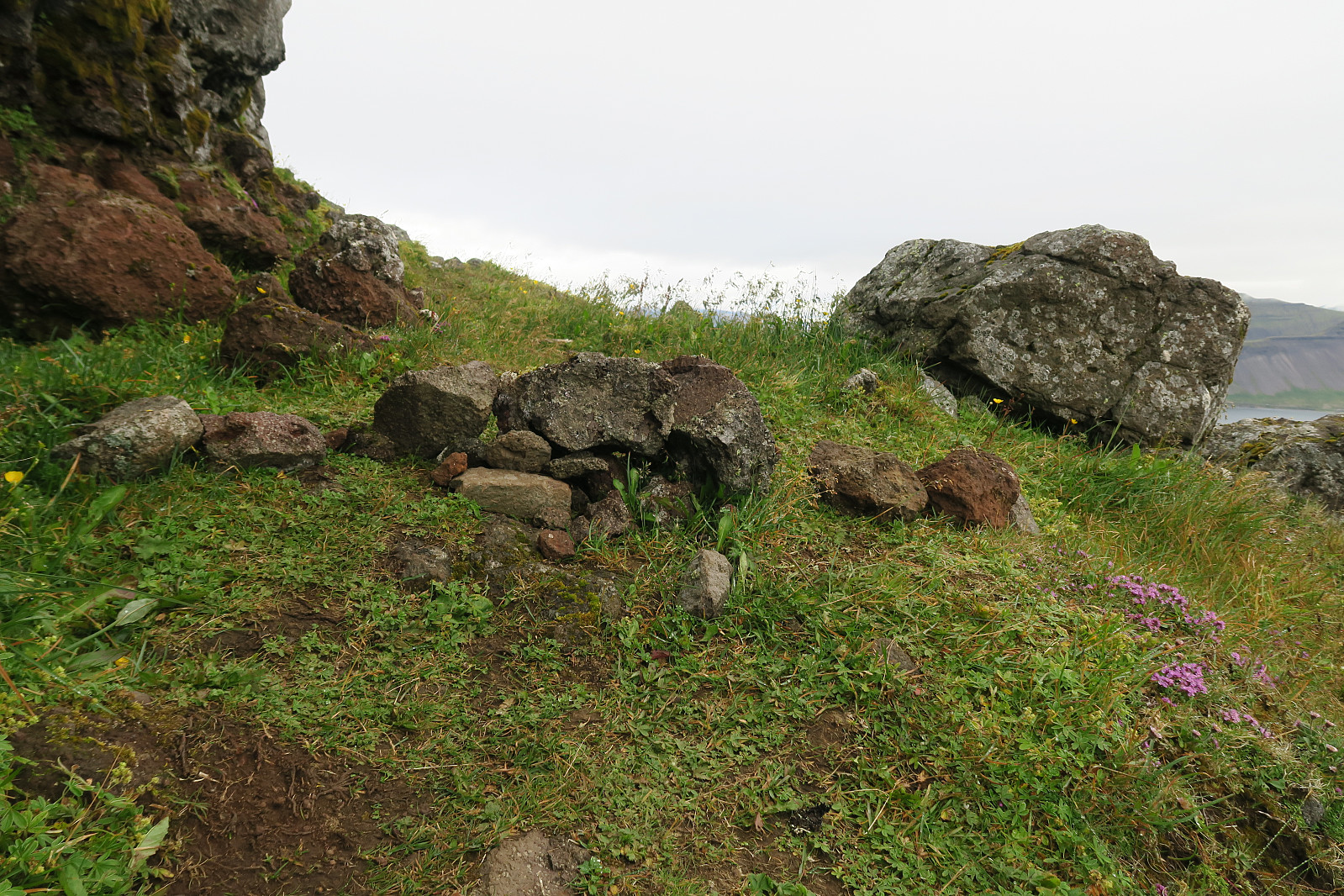
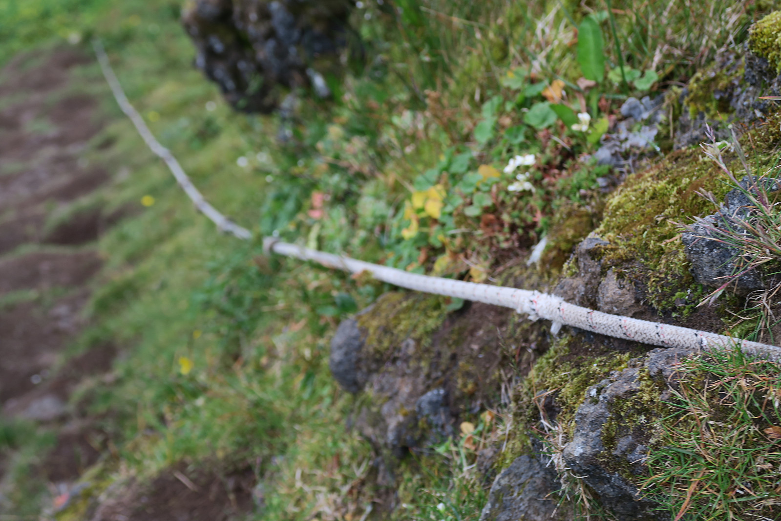
In addition, small barriers and cairns are put up to (hopefully) help you. It is, anyway, important to be awake so you don´t get lost and find yourself in a steep grassy hill not knowing to get neither up nor down.
 |
 |
 |
 |
 |
 |
 |
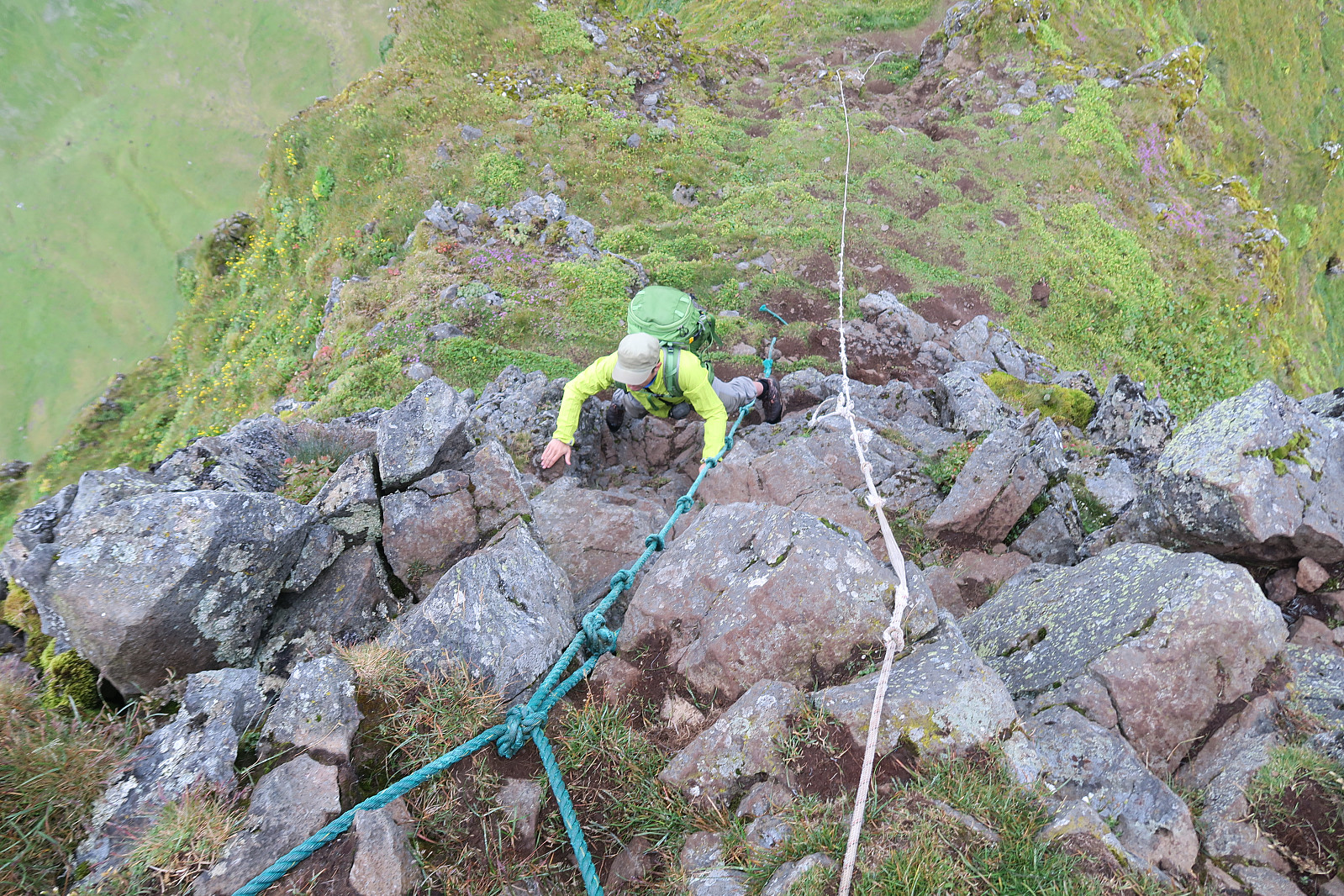 |
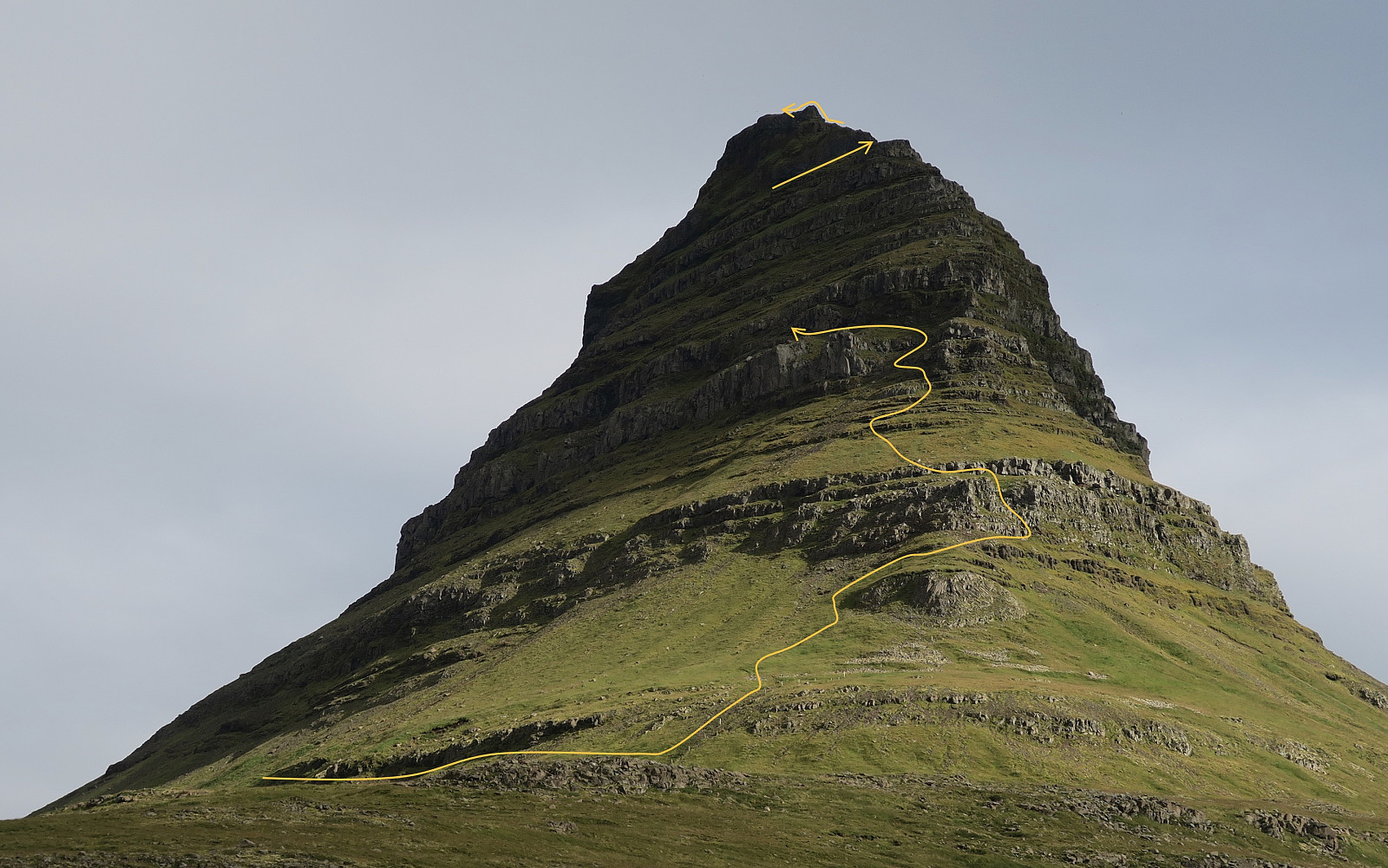
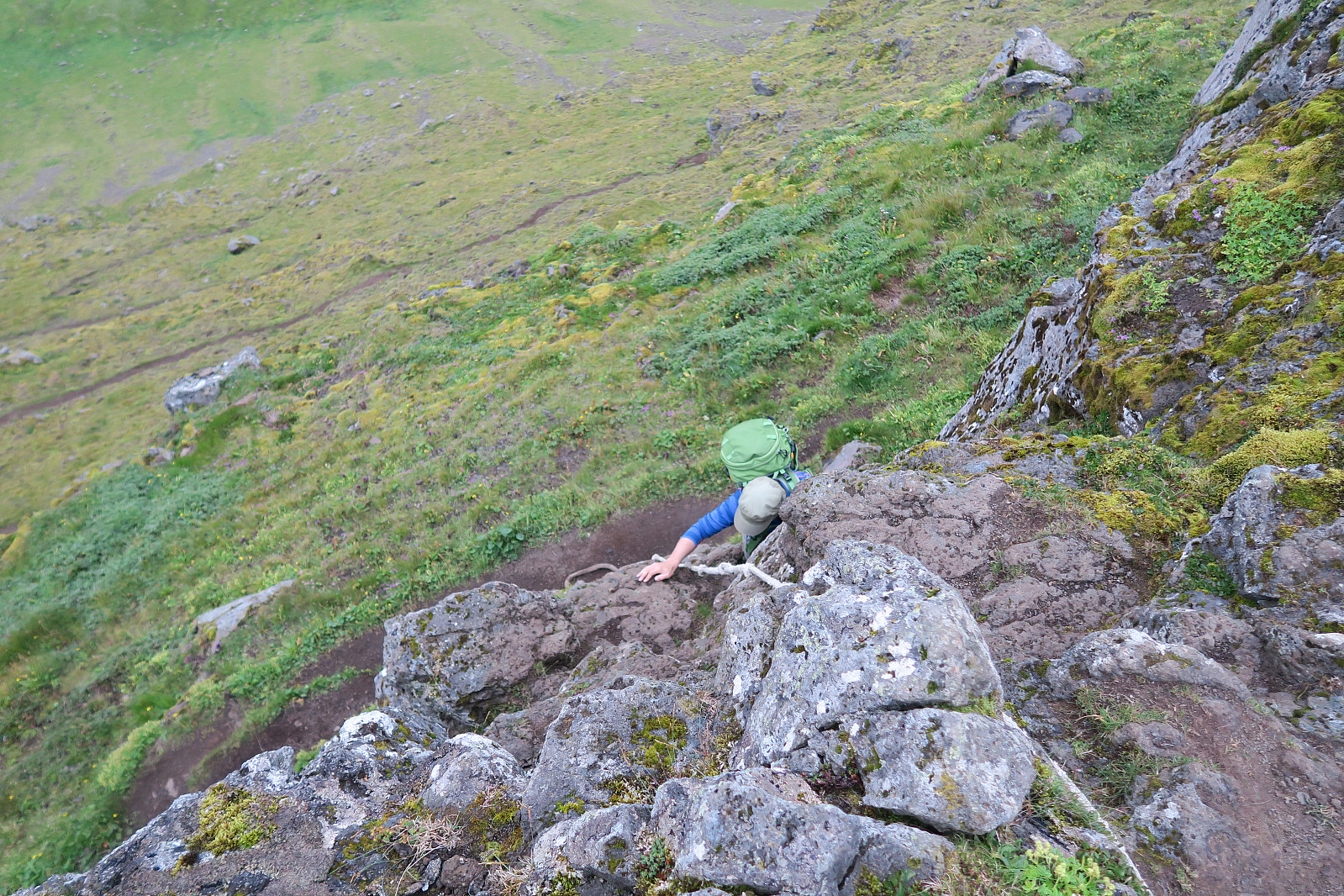
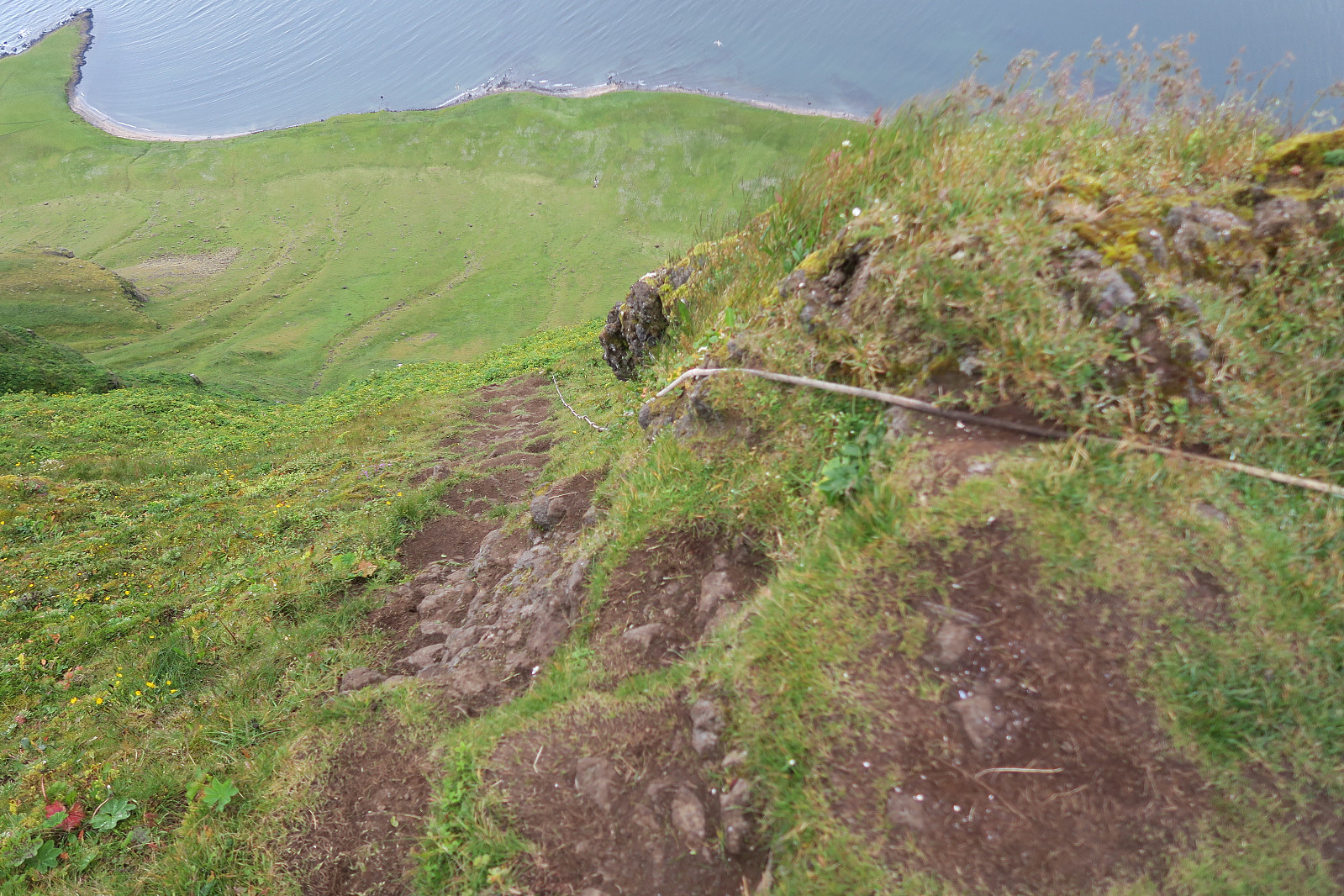
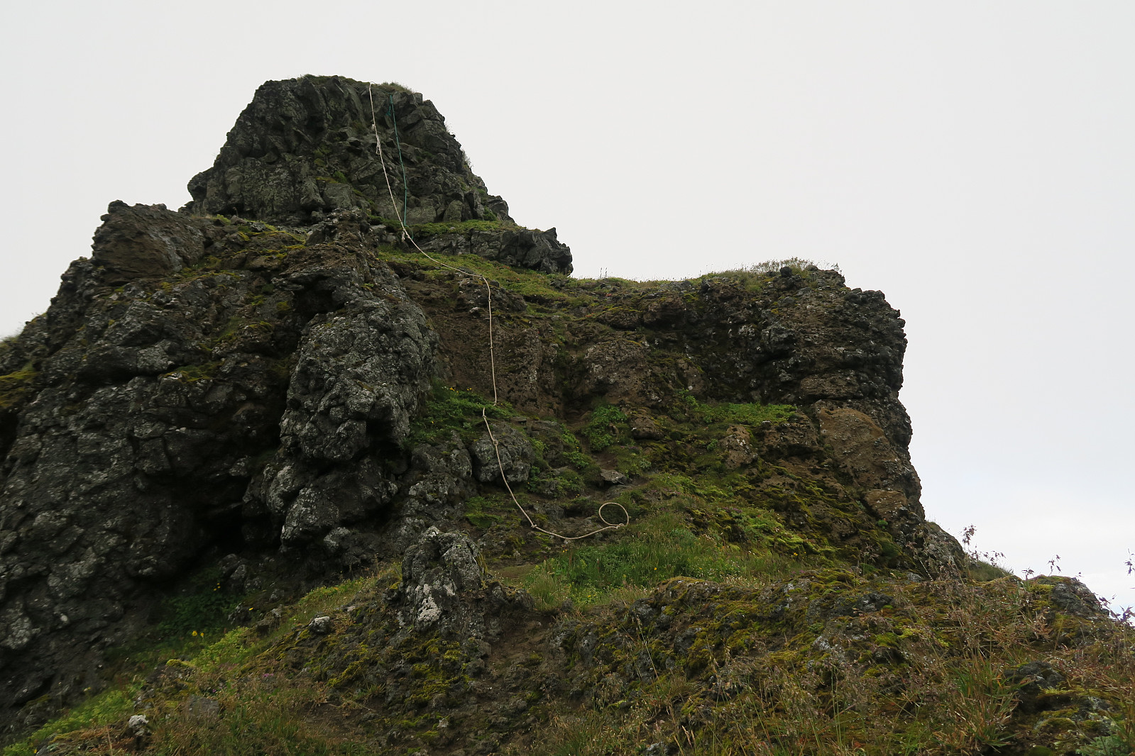
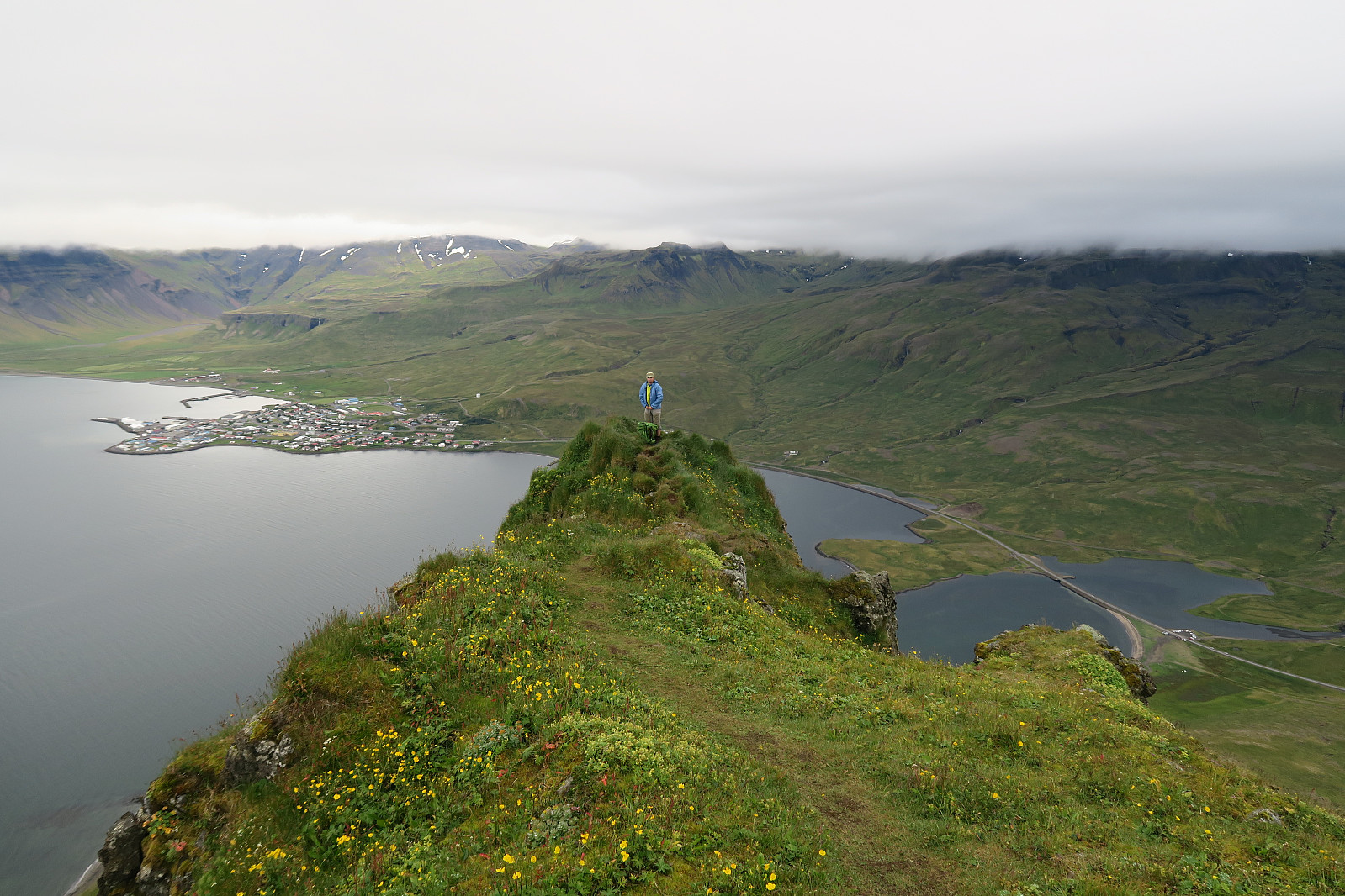
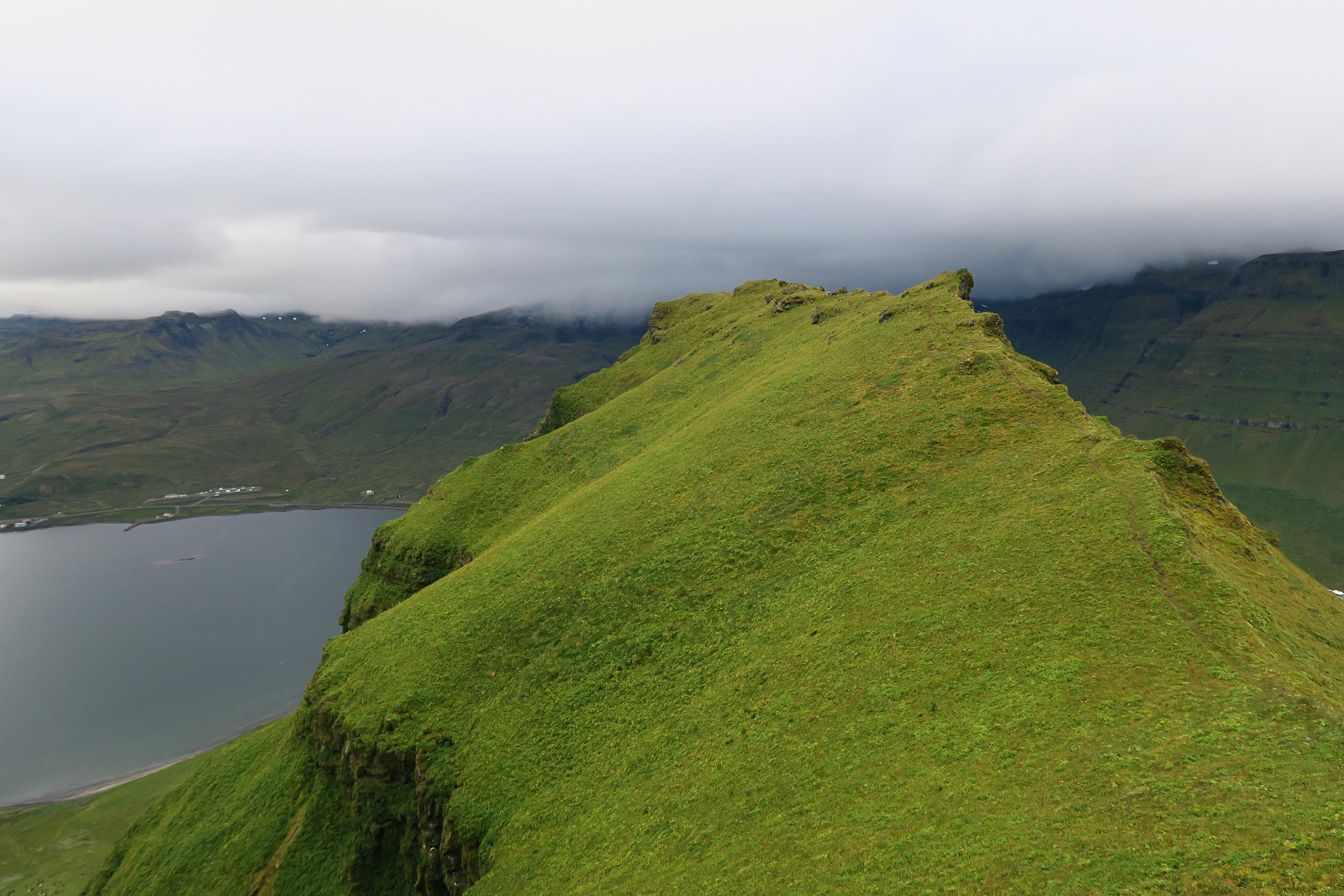
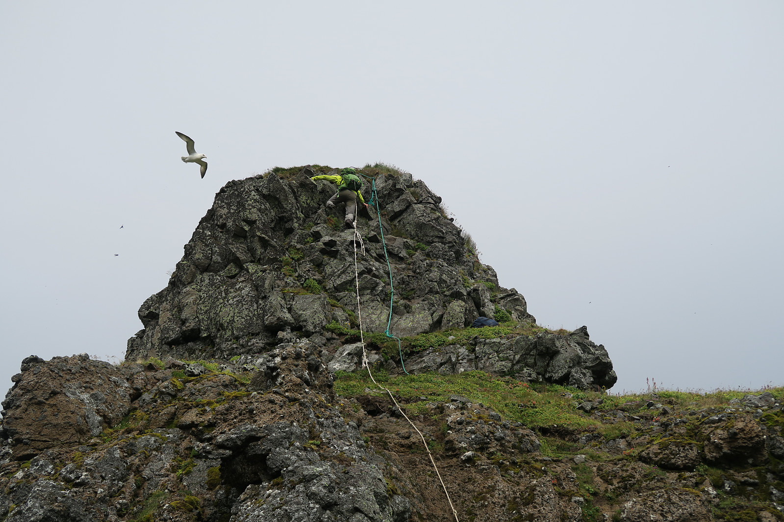
A couple of turns after the first scramble location, we came to the the ledge shown below. Her, you need to go over to the eastern side to find the second scrambling location. From here, we quickly reached the top of the ridge and found the third scramble area there.
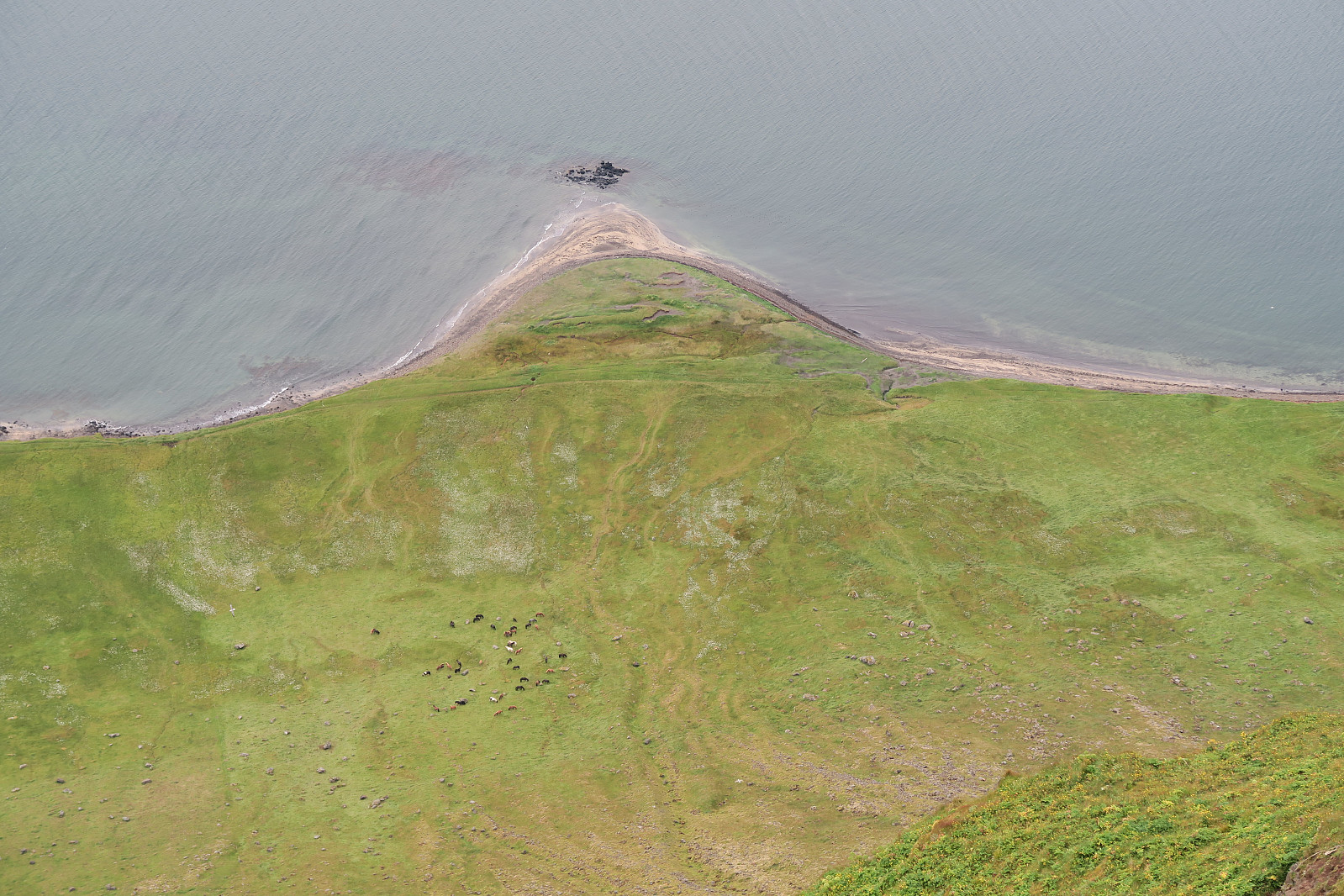
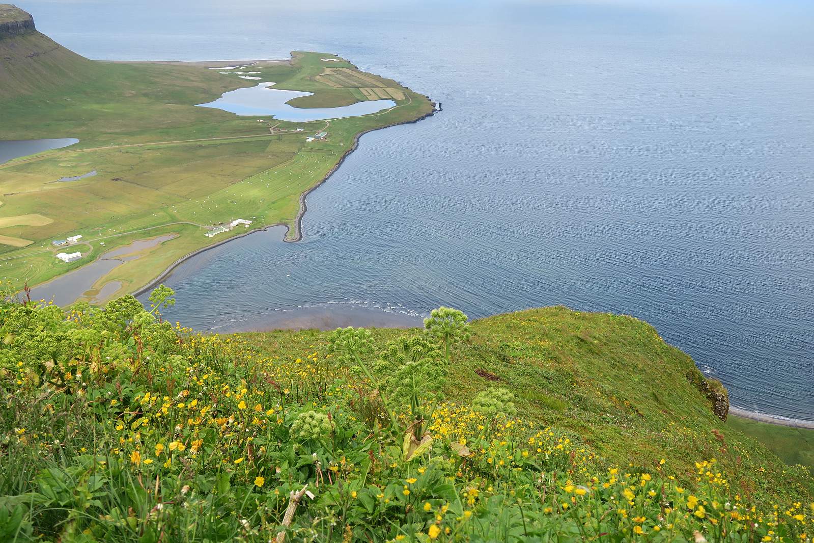
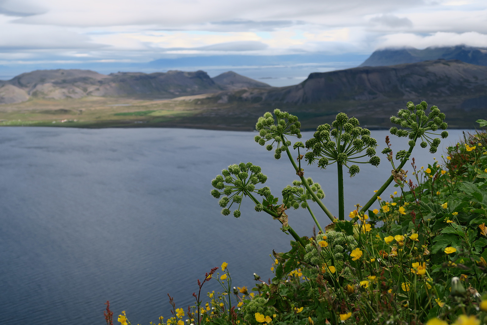
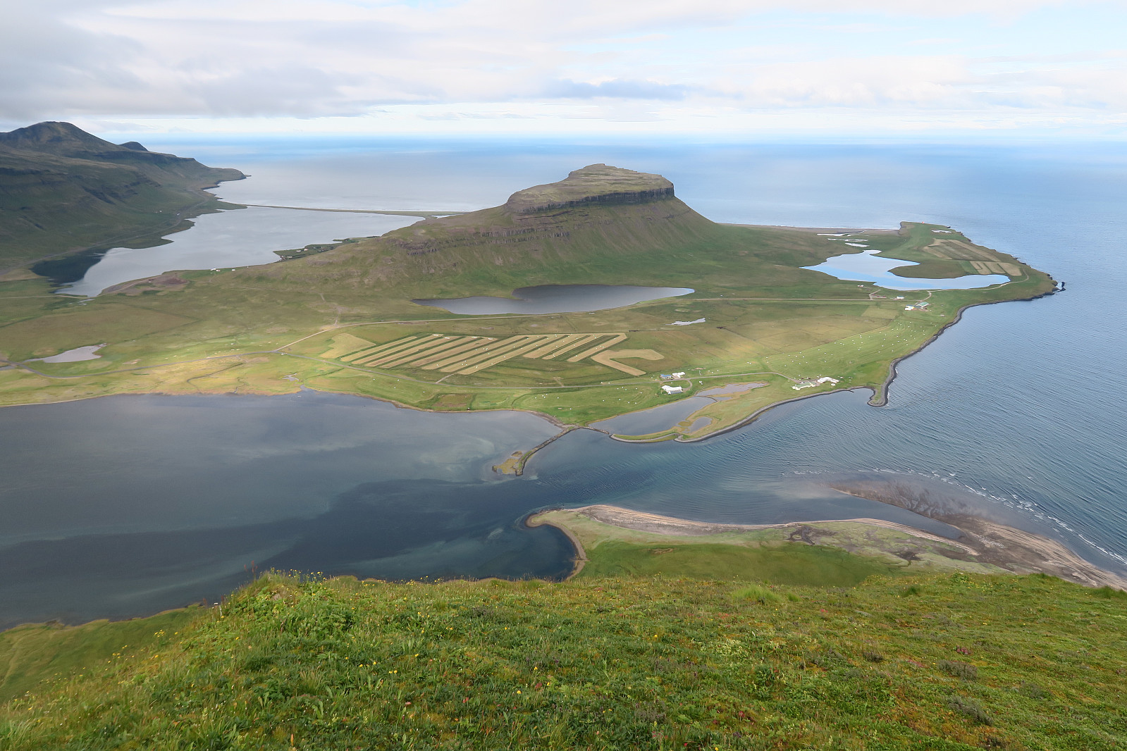
On the top, there was a beautiful view towards Breiðafjörður and Grundarfjörður.
 |
 |
 |
 |
 |
 |
We followed the same rout back down.
| Starttidspunkt | 16.08.2018 12:31 (UTC+01:00 ST) |
| Sluttidspunkt | 16.08.2018 15:29 (UTC+01:00 ST) |
| Totaltid | 2t 57min |
| Bevegelsestid | 2t 19min |
| Pausetid | 0t 37min |
| Snittfart totalt | 1,9km/t |
| Snittfart bevegelsestid | 2,5km/t |
| Distanse | 5,7km |
| Høydemeter | 538m |


Kommentarer