
Byrkjefjellet and Iendafjellet (19.08.2018)

Geschrieben von hbar (Harald Barsnes)

| Startpunkt | RV 7 ved Wallemtunet (431m) |
|---|---|
| Endpunkt | RV 7 ved Wallemtunet (433m) |
| Tourcharakter | Bergtour |
| Tourlänge | 5h 47min |
| Entfernung | 16,8km |
| Höhenmeter | 1.189m |
| GPS |
|
| Besteigungen | Byrkjefjellet (1.047m) | 19.08.2018 |
|---|---|---|
| Iendafjellet (1.260m) | 19.08.2018 |
Byrkjefjellet and Iendafjellet
Byrkjefjellet
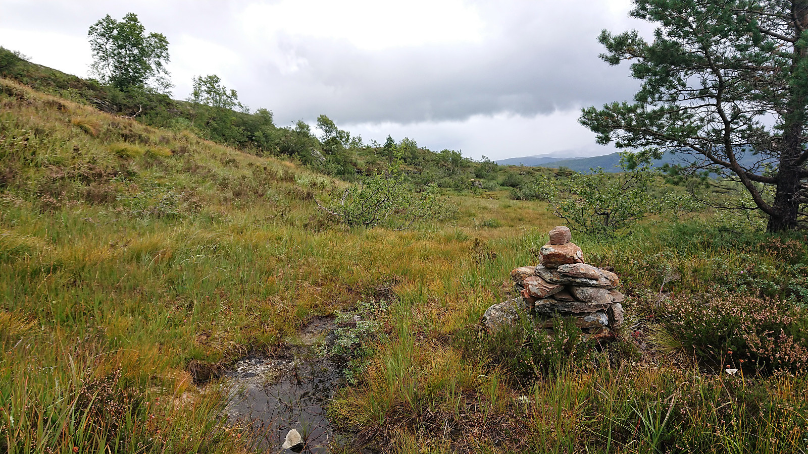
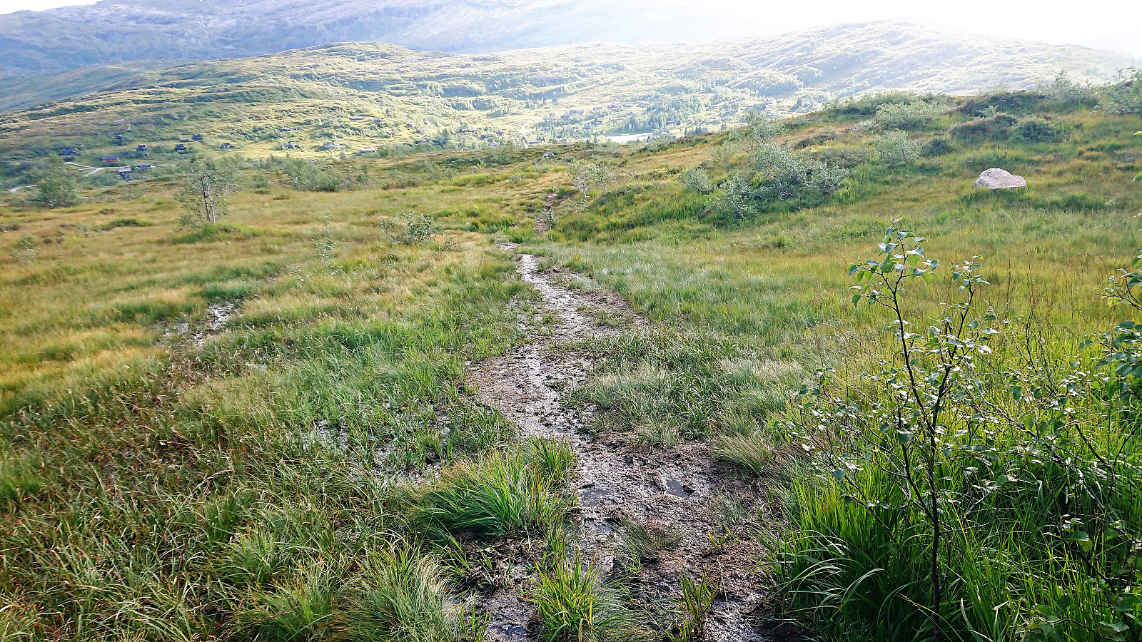
Started by taking the bus to Kvamskogen and getting off at the bus stop Wallemtunet. From there I followed the gravel road northwest, looking for one of the many trailheads indicated on the map. As far as I could see there were no marked trails for Byrkjefjellet (or any other locations for that matter) and the ones I looked at were all equally wet. This did however greatly improve as the trail turned north. Here it also connected with another trail coming up from the south (which I decided to try on the descent).
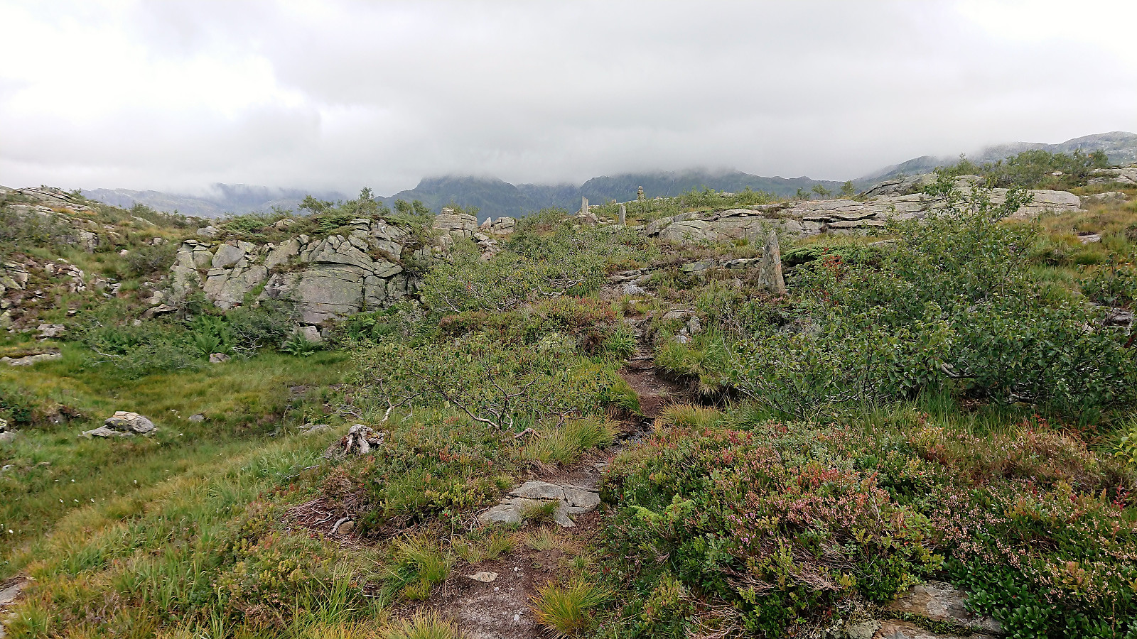
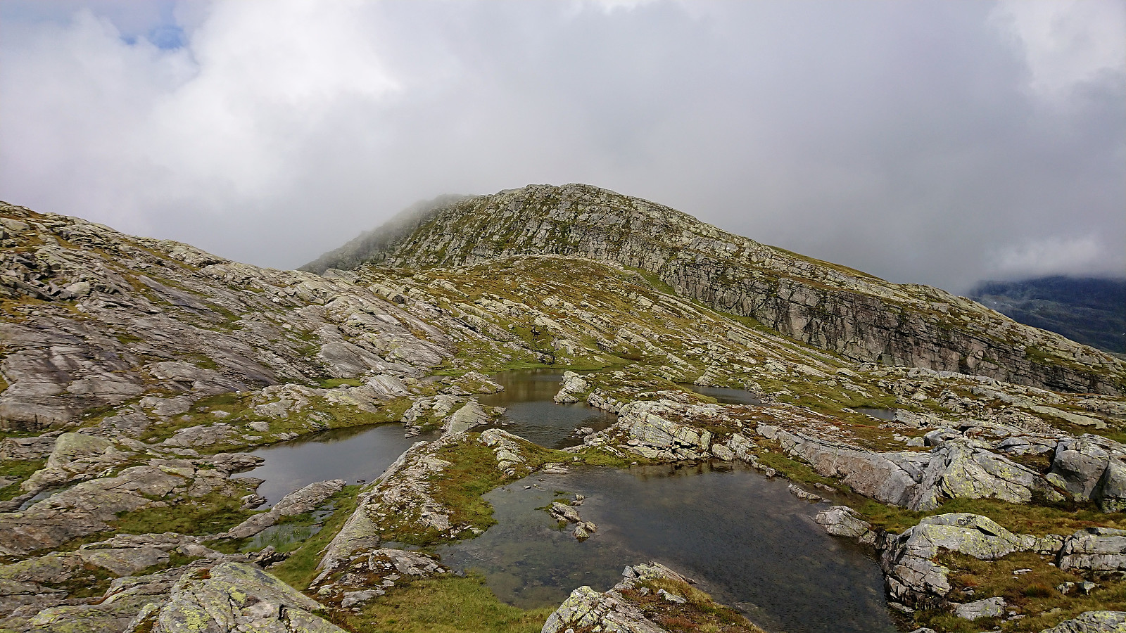
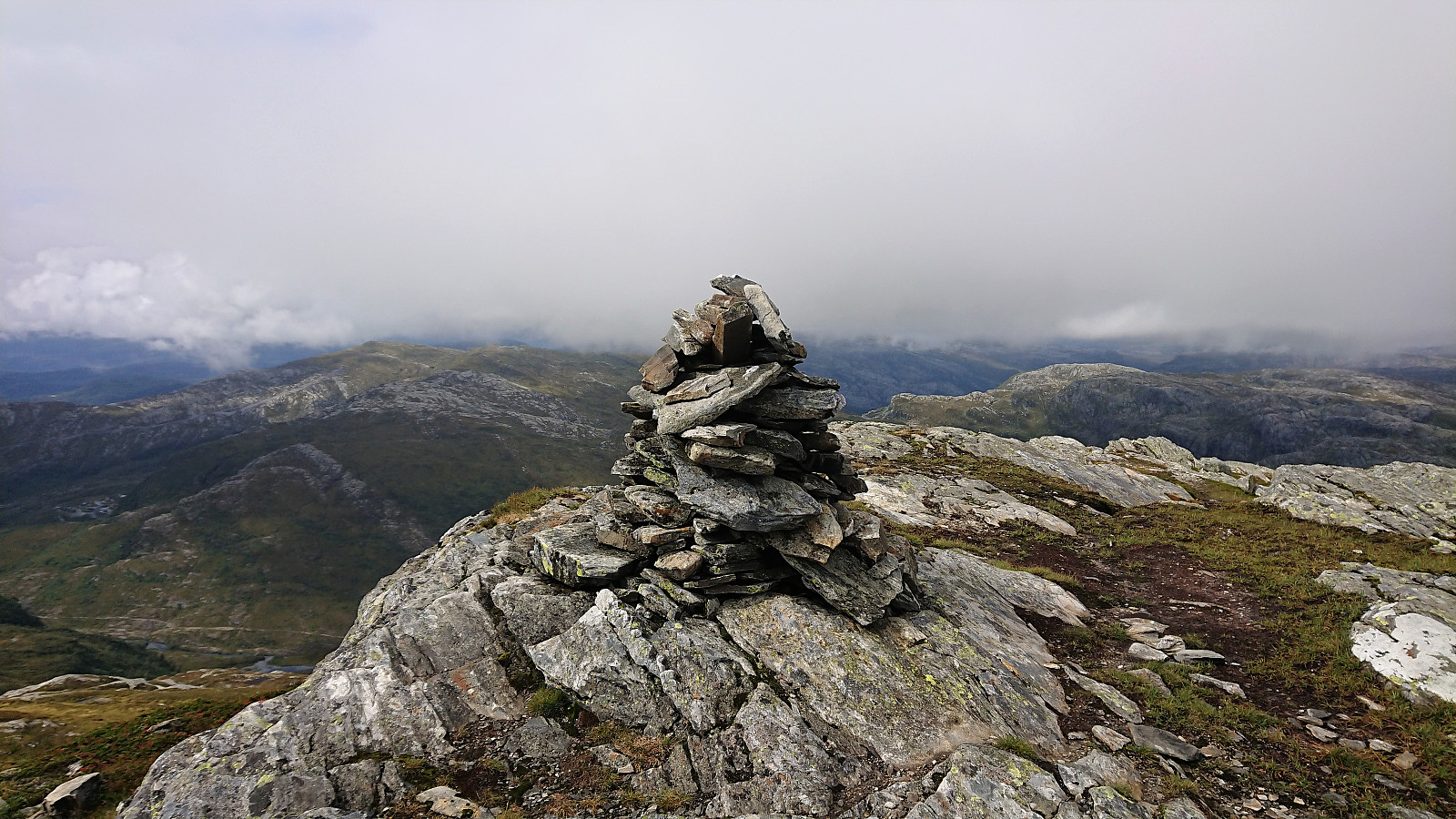
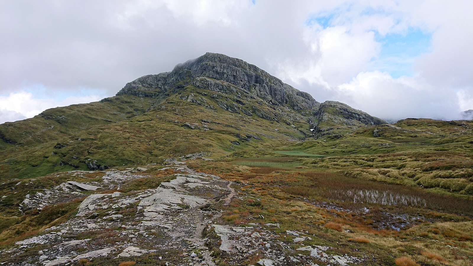
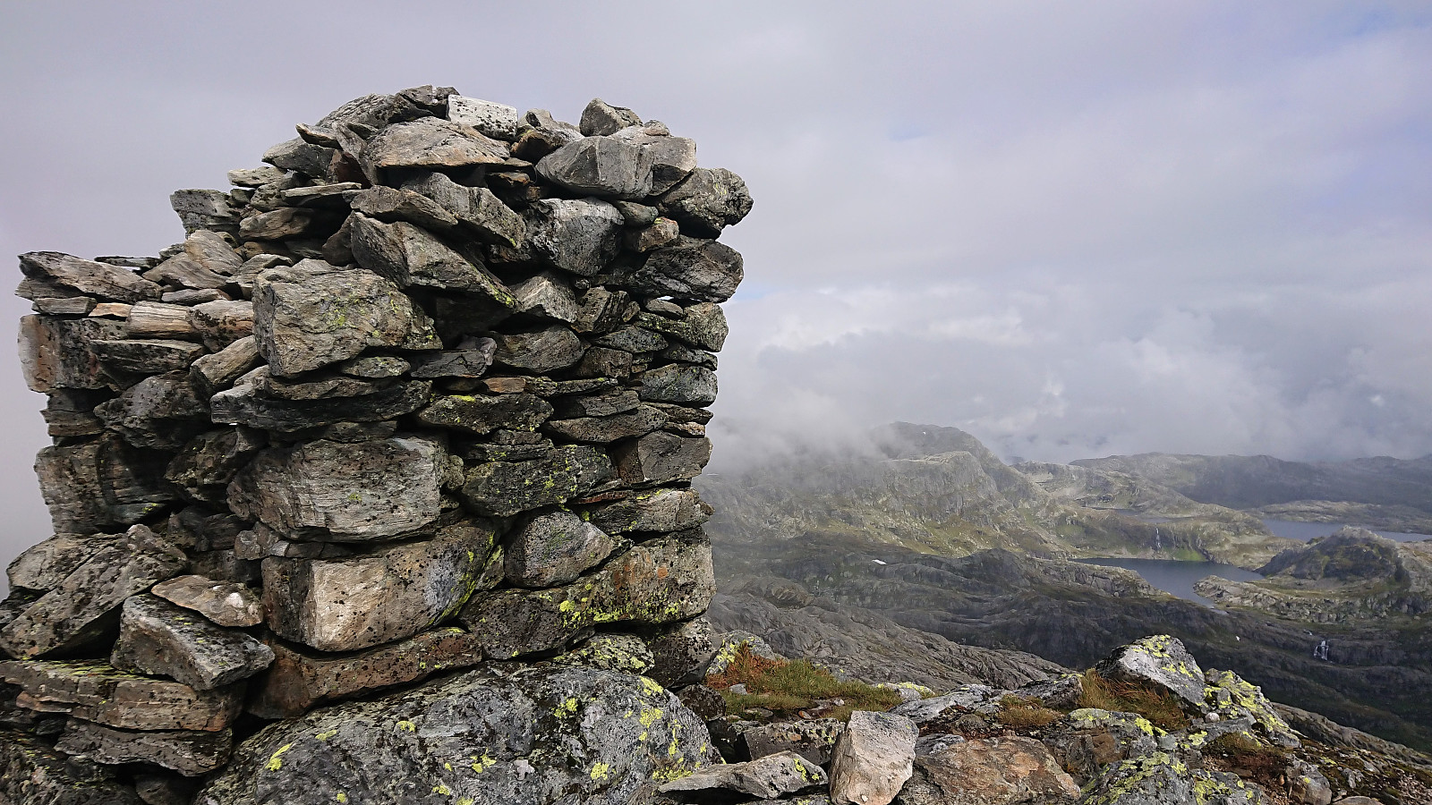
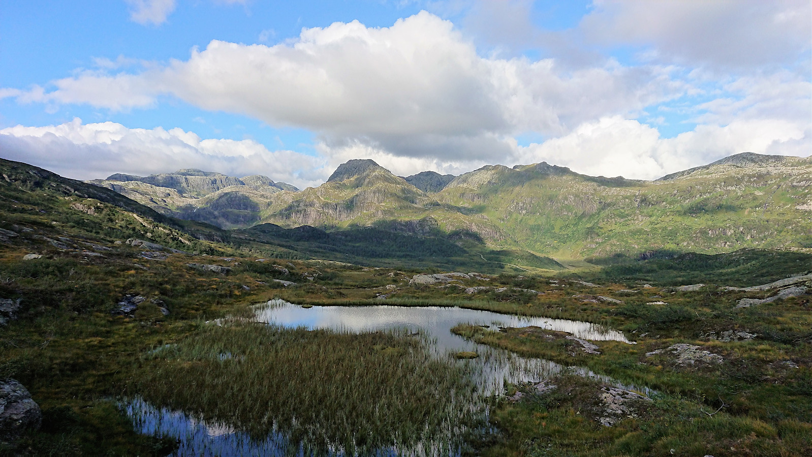
From here, the trail was overall easy to follow until reaching the small cairn southeast of the 996 hill south of the summit, which provided very nice views. The summit itself was however further north, and, as far as I could tell, blocked by a cliff. I knew there was supposed to be a trail though, and as I got closer I noticed a cairn at the top of the cliff on my right-hand side.
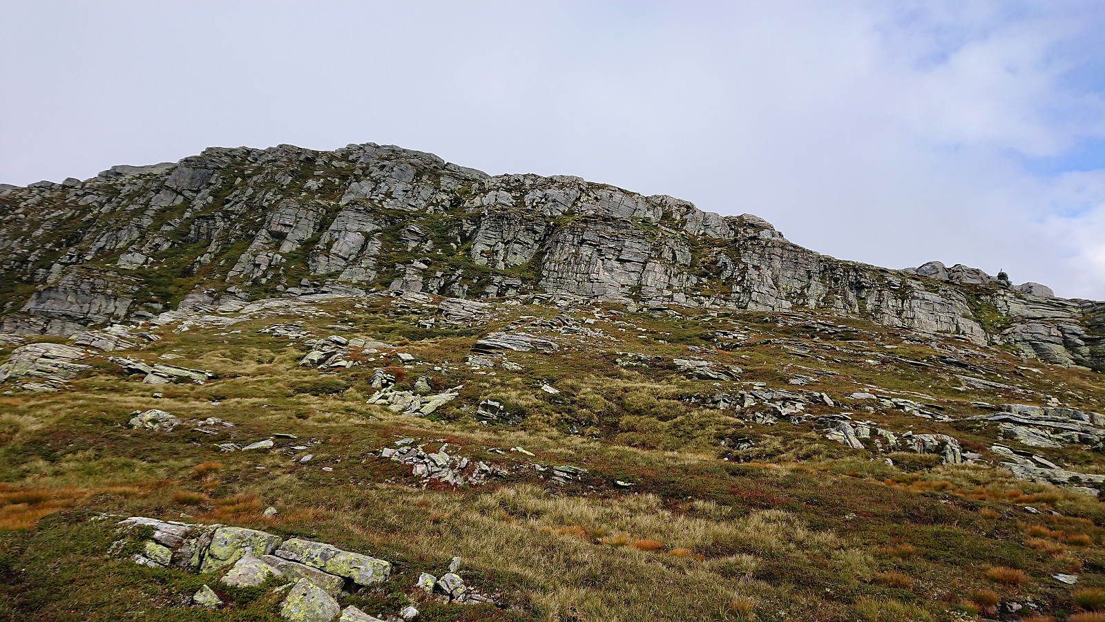
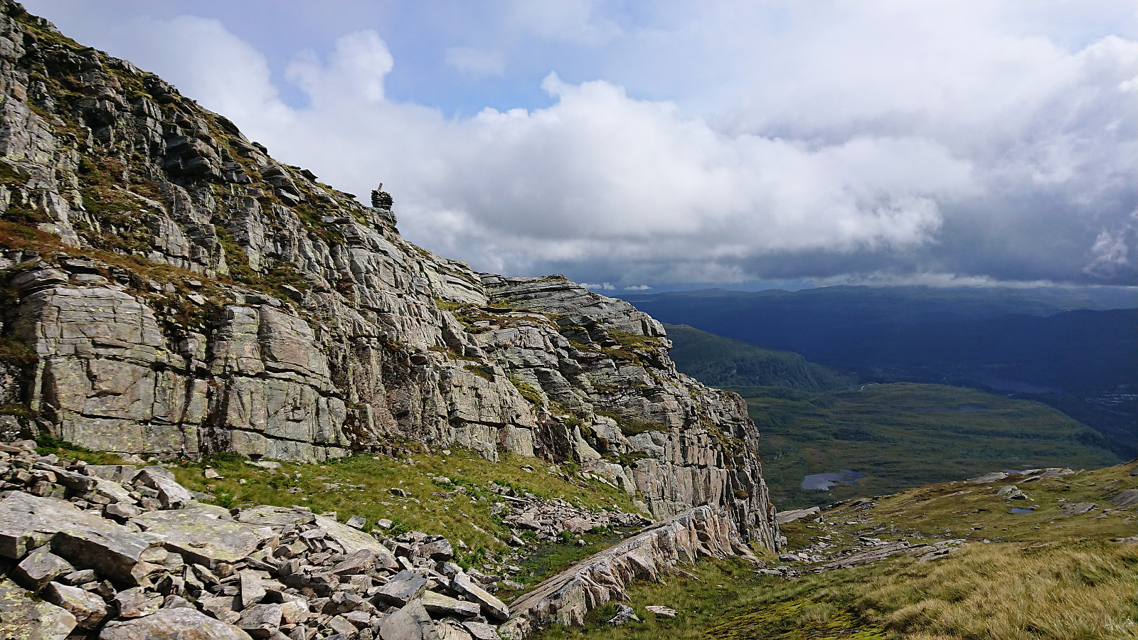
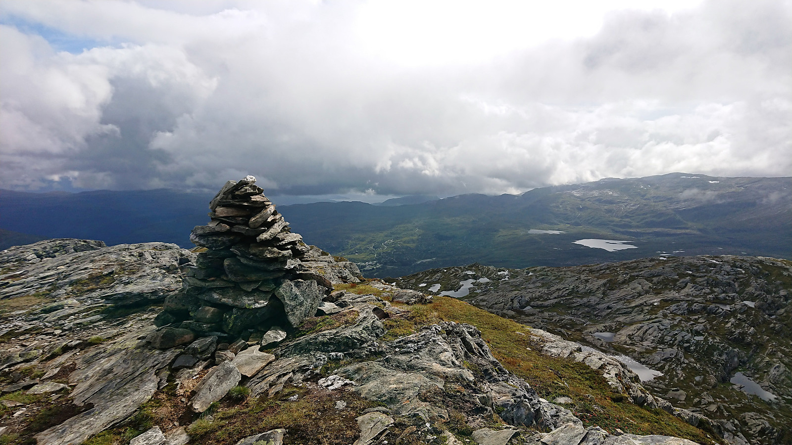
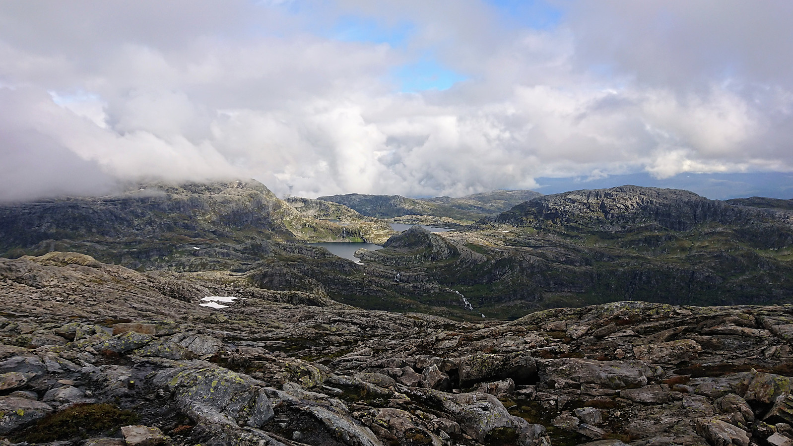
Assuming this indicated the recommended ascent, I headed in that direction, and sure enough, here I found a fairly straightforward path up the cliff, only requiring some very light climbing. At the top I was also welcomed by a trail that could be easily followed along the ridge to the summit. The views from the summit were very nice, but today rather limited by the low-hanging clouds.
Iendafjellet
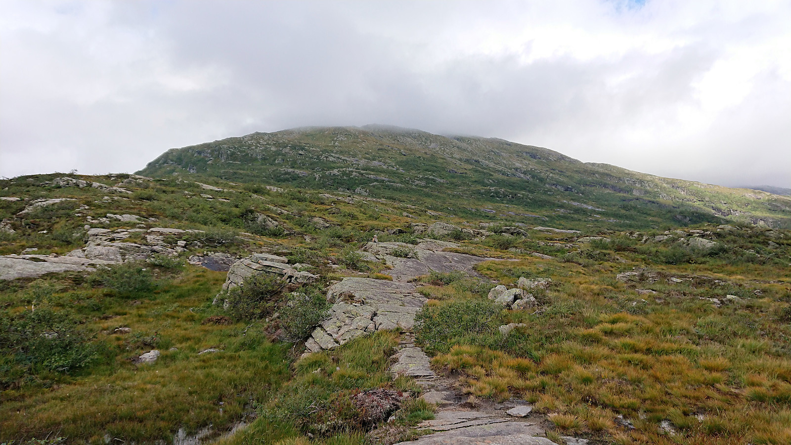
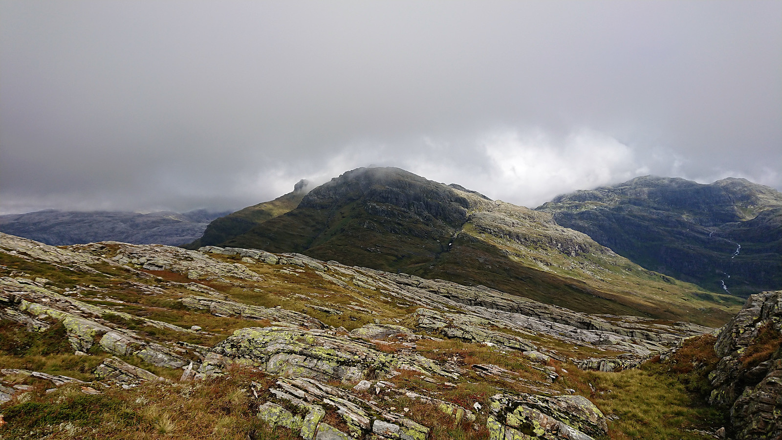
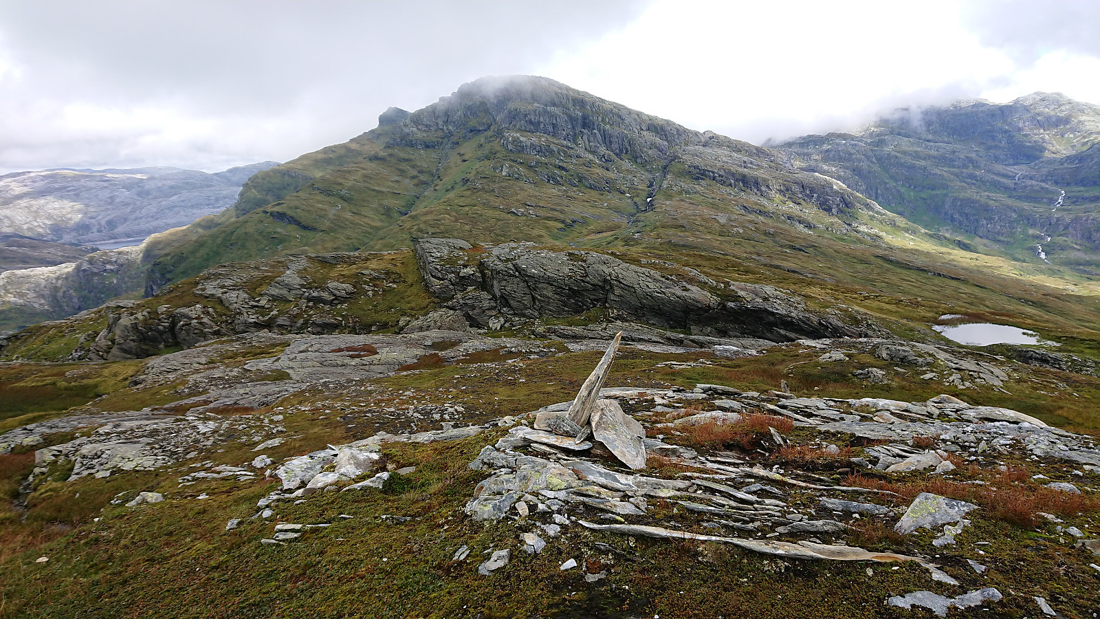
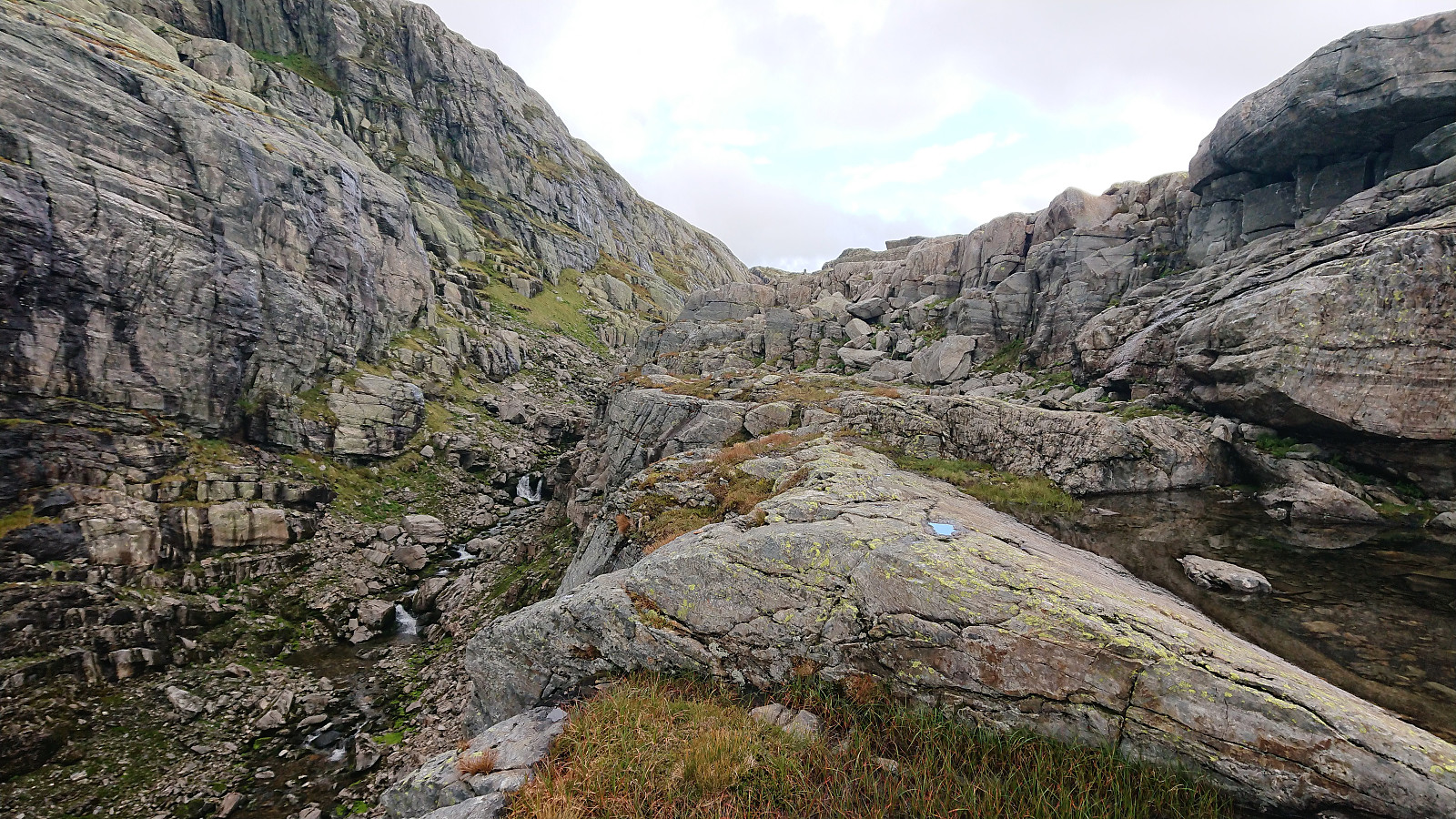
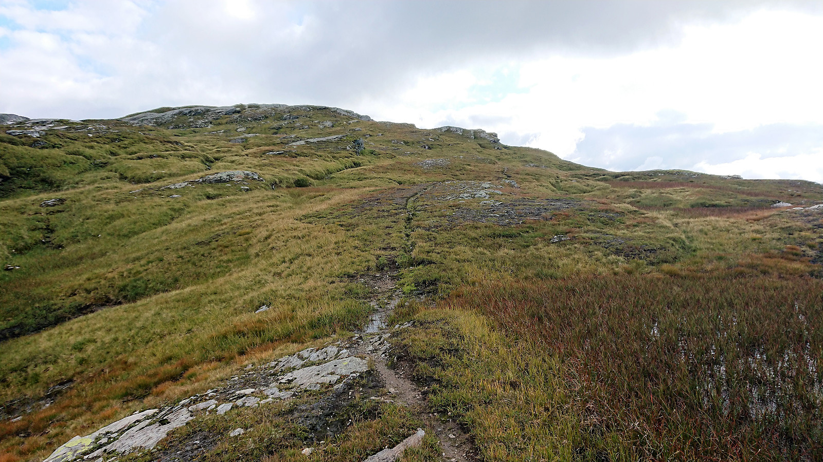
From Byrkjefjellet I headed north towards Iendafjellet. The map here indicated a trail, but I could not find any. At least not until getting closer to Iendafjellet, where an easy to follow trail showed up, taking me up to Purkegjelet. Here the trail headed up on the eastern side of the gorge, first as a clear trail, and later the direction was mainly indicated by numerous small cairns.
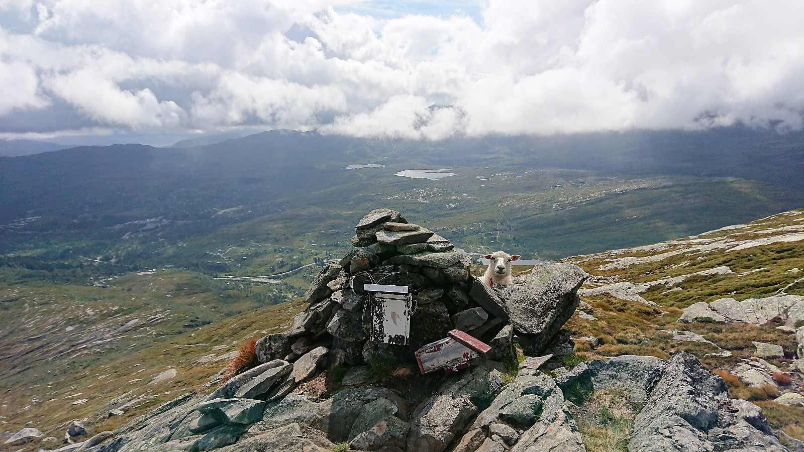
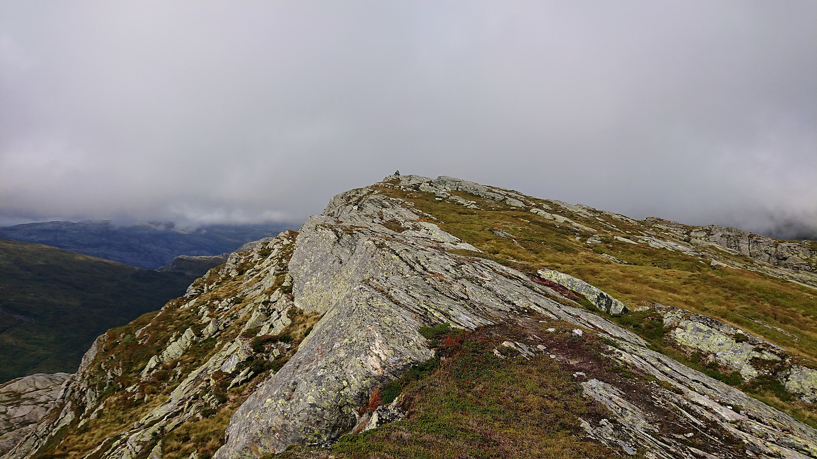
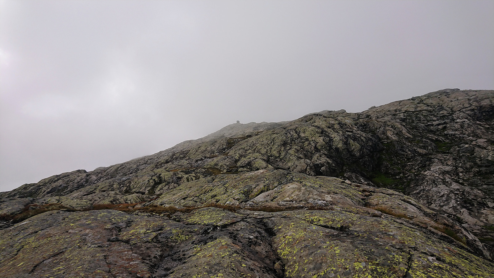
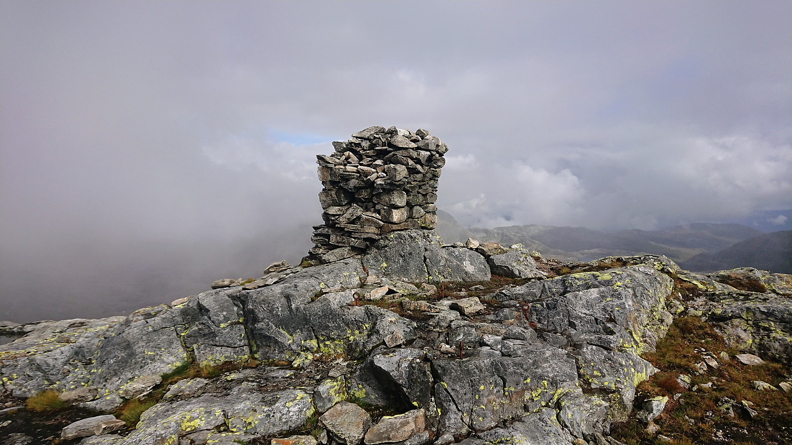
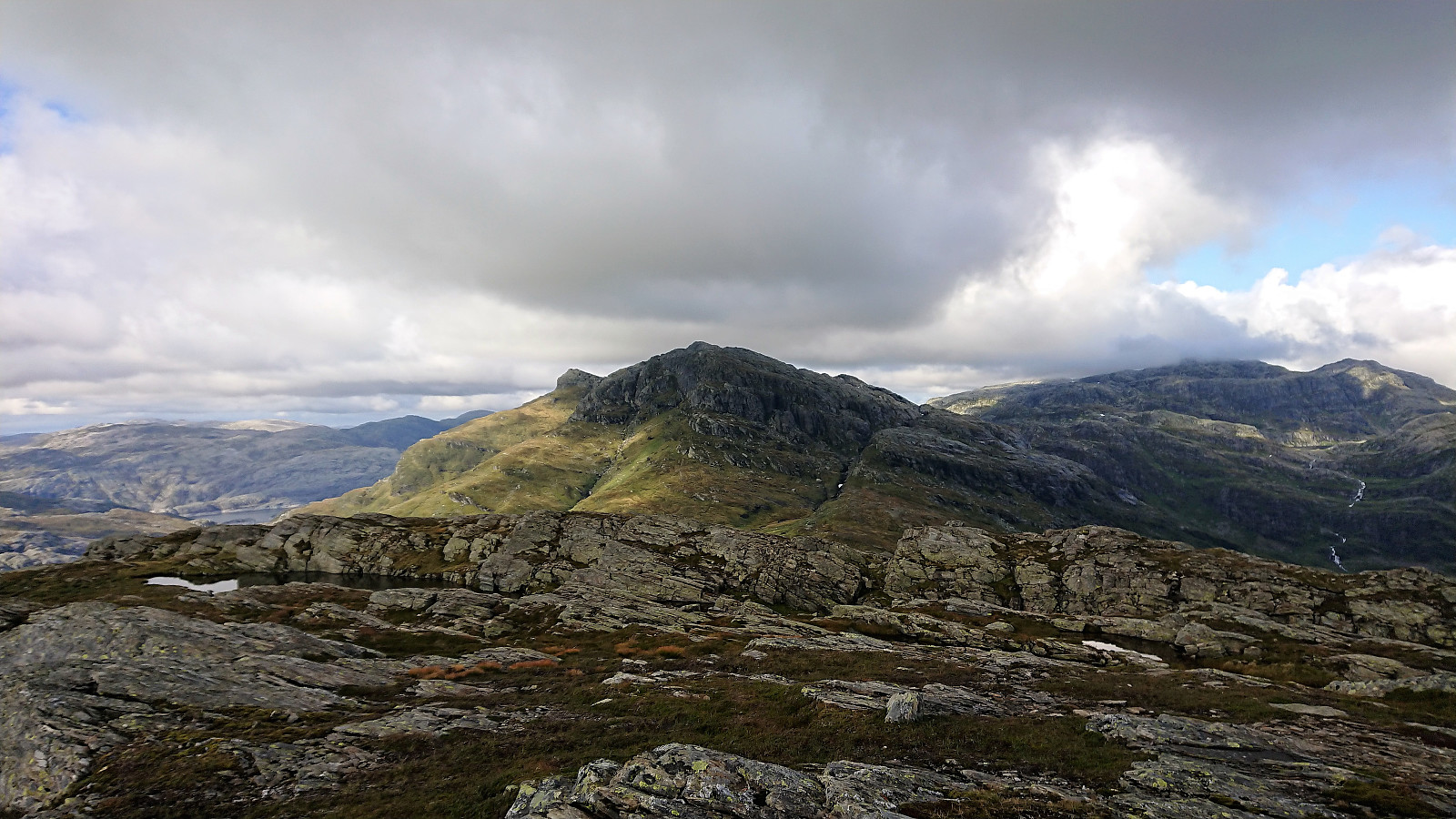
Given that the southeastern side of Iendafjellet was quite steep, the trail took me northeast of the summit before starting the final ascent. However, I missed my exit, going too far north, and ended up having to find my own way towards the cairn at the summit. The terrain was relatively easy to traverse, but mainly consist of slippery rocks, hence I had to be careful not to slip. As I got close to the summit, the low-hanging clouds sadly reappeared, greatly reducing the views, explaining the unusually low number of pictures from the summit.
I chose a slightly different and more direct path on the descent. This time happening to arrive at the exit I had missed on the way up. Did not see a clear path from that point towards the summit though, so I guess it would not have made much of a difference in the end. I followed more or less the same route down to the valley in between the two mountains, before trying to follow the trail I had come across when heading in the opposite direction. But still ended up losing the trail when getting close to the summit of Byrkjefjellet.
From Byrkjefjellet I followed the same trail downwards as on the ascent, but trying some alternative, although equally wet, trails just before reaching the gravel road on my way to the bus stop and the bus back to Bergen.
Conclusion
In summary, a proper mountain hike that can be highly recommended. With the lack of trails and the light climbing required it will probably not be everyone’s cup of tea though. Note also, that it is relatively easy to get lost, most notably on the final ascent to Iendafjellet, especially if the weather is only slightly worse than during my hike. Doing this hike in drier conditions is also to be recommended, as this will greatly simplify the walking on the otherwise slippery rocks.
| Startzeitpunkt | 19.08.2018 12:59 (UTC+01:00 SZ) |
| Endzeitpunkt | 19.08.2018 18:47 (UTC+01:00 SZ) |
| Gesamtzeit | 5h 47min |
| Zeit in Bewegung | 5h 30min |
| Pausenzeit | 0h 17min |
| Gesamtschnitt | 2,9km/h |
| Bewegungsschnitt | 3,0km/h |
| Entfernung | 16,8km |
| Höhenmeter | 1.188m |


Benutzerkommentare