
Up Stoltzekleiven and back via Fløyen (06.08.2018)

Skrevet av HHauser (Helwig Hauser)

| Startsted | Sandvikstorget (5moh) |
|---|---|
| Sluttsted | Olav Kyrres gate (5moh) |
| Turtype | Fjelltur |
| Turlengde | 2t 30min |
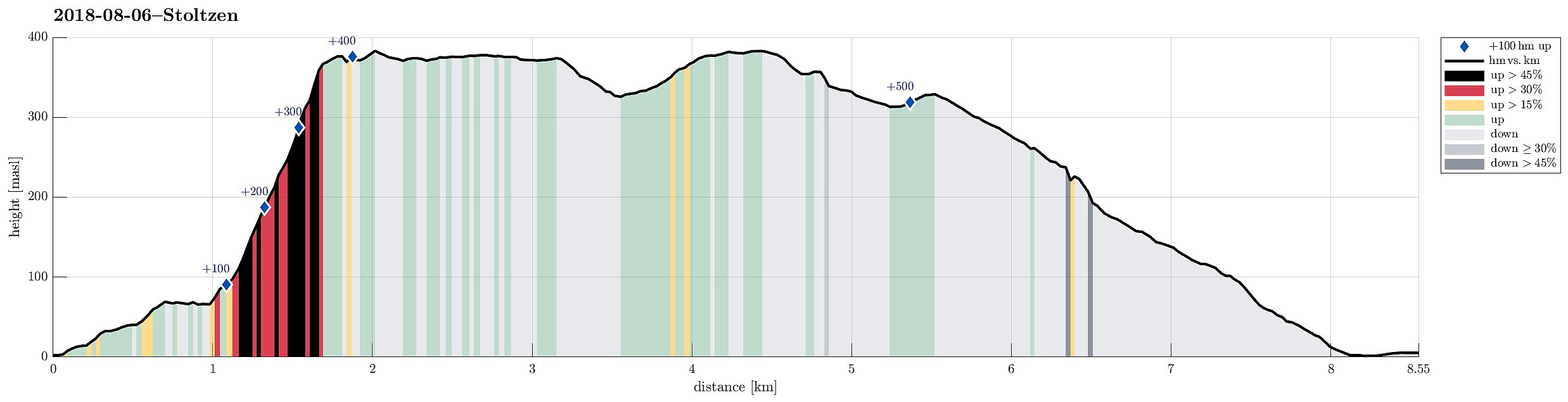
| Distanse | 8,5km |
| Høydemeter | 537m |
| GPS |
|
| Andre besøkte PBE'er | Fløibanen (13moh) | 06.08.2018 |
|---|---|---|
| Fløyen stasjon (313moh) | 06.08.2018 | |
| Fløypilen (299moh) | 06.08.2018 | |
| Grindarasten (375moh) | 06.08.2018 | |
| Regnhytten (359moh) | 06.08.2018 | |
| Sandvikspilen (378moh) | 06.08.2018 | |
| Stoltzekleiven (100moh) | 06.08.2018 |
Note that this track has been created from memory, i.e., it was not recorded automatically.
Trip Summary
We took the bus to Sandviken and ascended through some (very) small roads up to Fjellveien in order to get to the start of Stoltzekleiven. A little bit of rain helped to cool us down, while ascending to Sandviksfløyen. From Sandvikspilen it is always a nice view over Bergen! When continuing from there, we could not resist a short dive into Storevatnet, before proceeding towards Fløyen. We took Tippetue (via Vindeggen) down to Bergen, before catching a bus in Olav Kyrres gate. Always a challenge to "run" up Stoltzekleiven as fast as possible! :-)
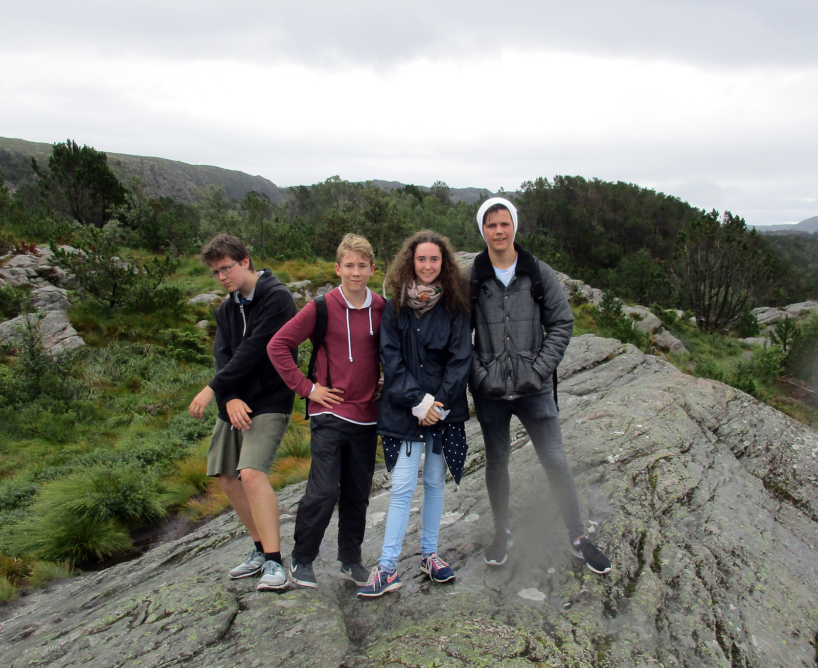
Photos
Selected photos are available as Google photo album.
Useful Resources
See also the related FB-page Hiking around Bergen, Norway.
The hiking portal UT.no describes a similar hike.


Kommentarer