
Kolåsfjellet, Lyngfjellet and Skausnøya (11.08.2018)

Geschrieben von hbar (Harald Barsnes)

| Startpunkt | Lindås senter (57m) |
|---|---|
| Endpunkt | Våge (34m) |
| Tourcharakter | Bergtour |
| Tourlänge | 3h 56min |
| Entfernung | 16,8km |
| Höhenmeter | 753m |
| GPS |
|
| Besteigungen | Kolåsfjellet (222m) | 11.08.2018 |
|---|---|---|
| Lyngfjellet (156m) | 11.08.2018 | |
| Skausnøya (363m) | 11.08.2018 | |
| Besuche anderer PBE | Haukåsskolten (145m) | 11.08.2018 |
Kolåsfjellet, Lyngfjellet and Skausnøya
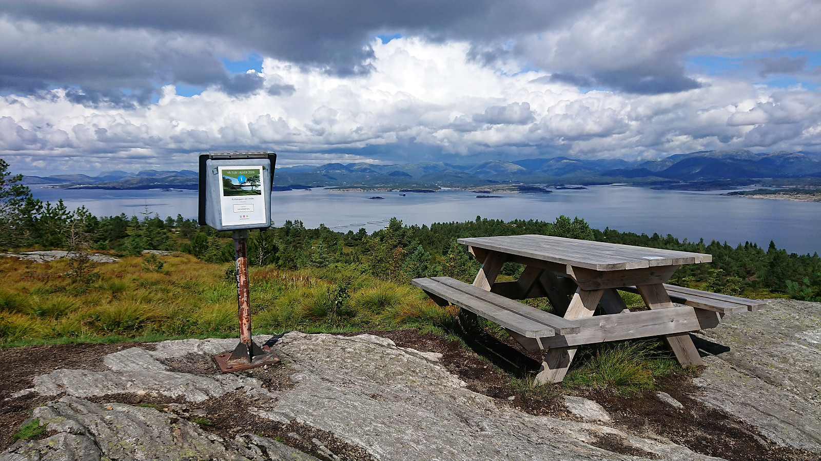
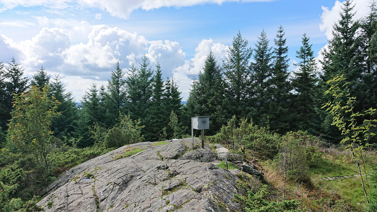
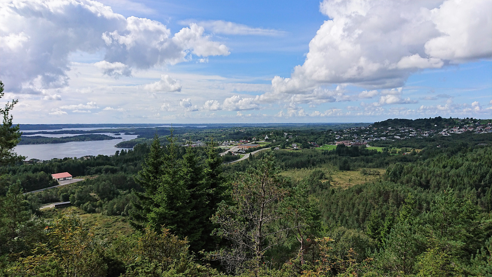
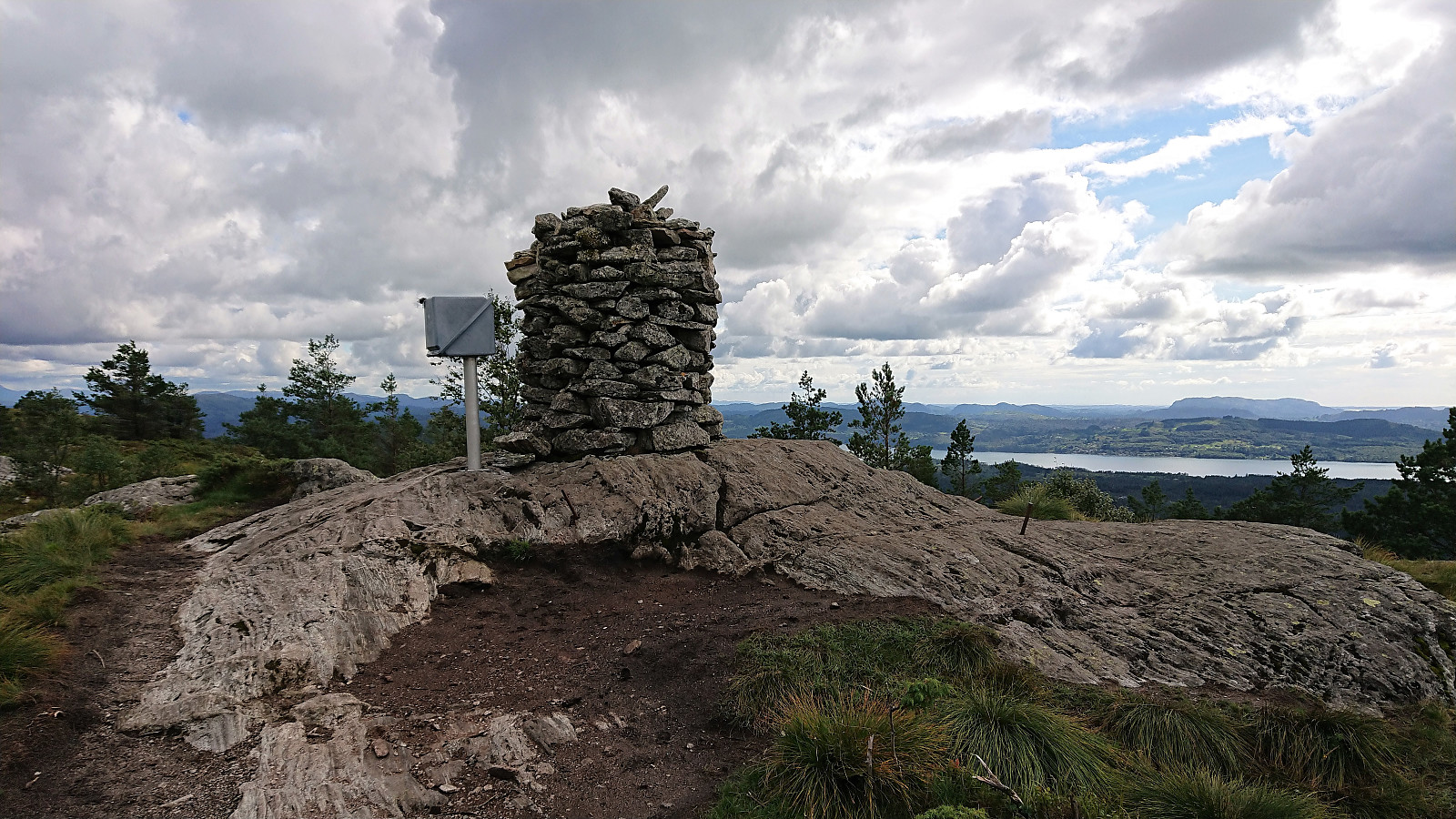
Kolåsfjellet
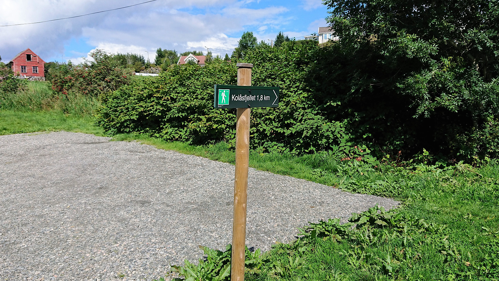
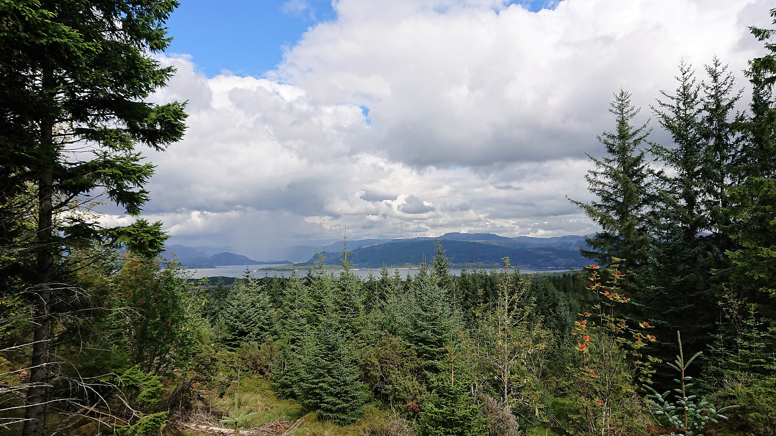
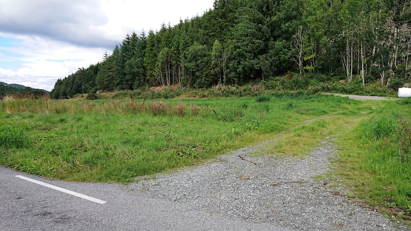
Started by taking the bus to Lindås and getting off at the bus stop called "Lindås senter". From there I followed what seemed like the most direct route towards Kolåsfjellet and shortly came across the first sign indicating the path to the summit. First along a gravel road and later along what I guess can be called a gravel-covered trail. Overall very easy access. The summit provided very nice views, in particular towards the north and east.
After a short break I returned to Lindås and continued southeast towards my next goal of Lyngfjellet. Thankfully it was possible to walk along the old road, where there was very limited traffic compared the new road right next to it.
Lyngfjellet and an unexpected roundtrip
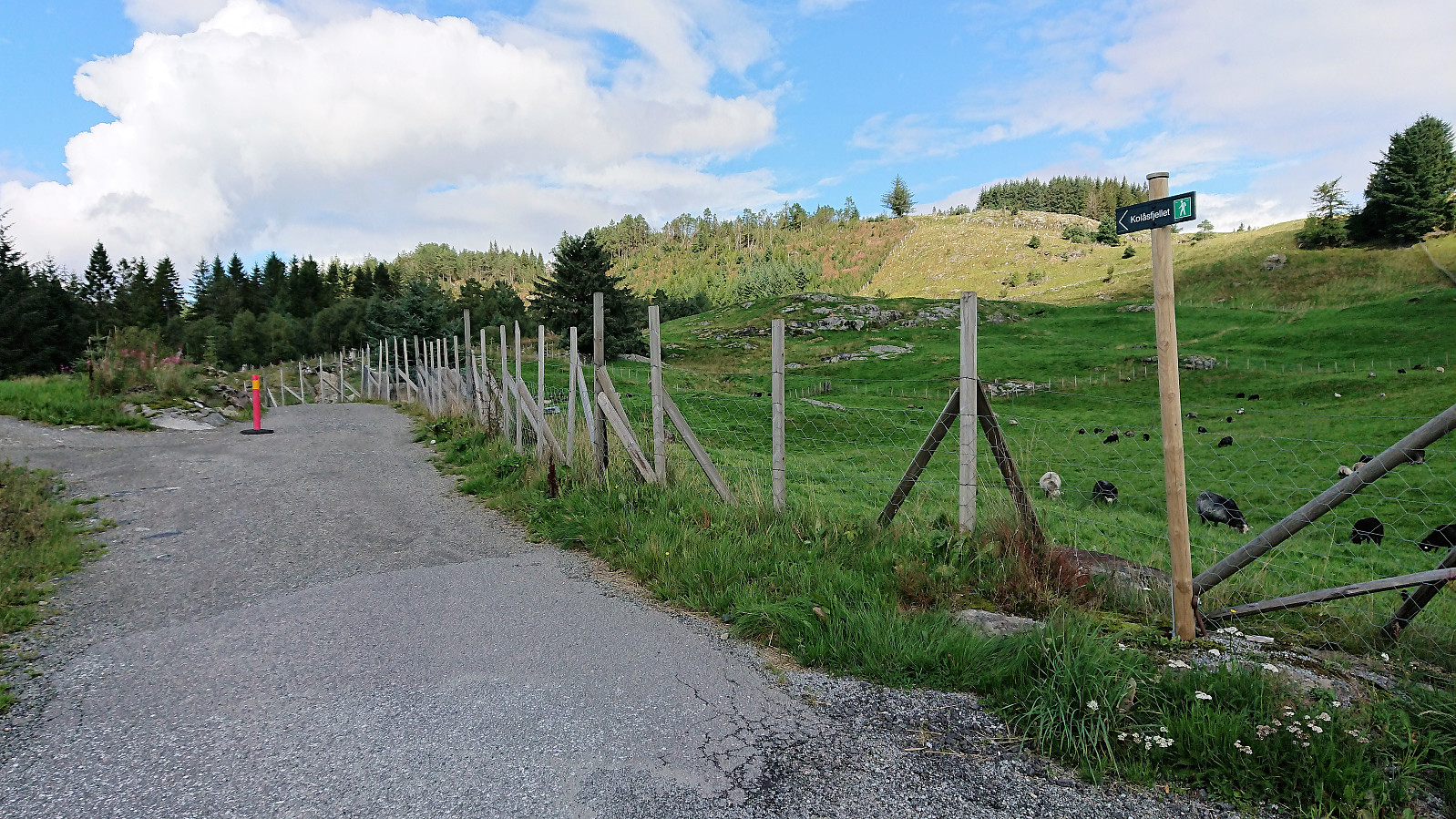
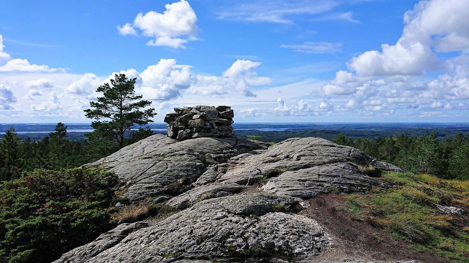
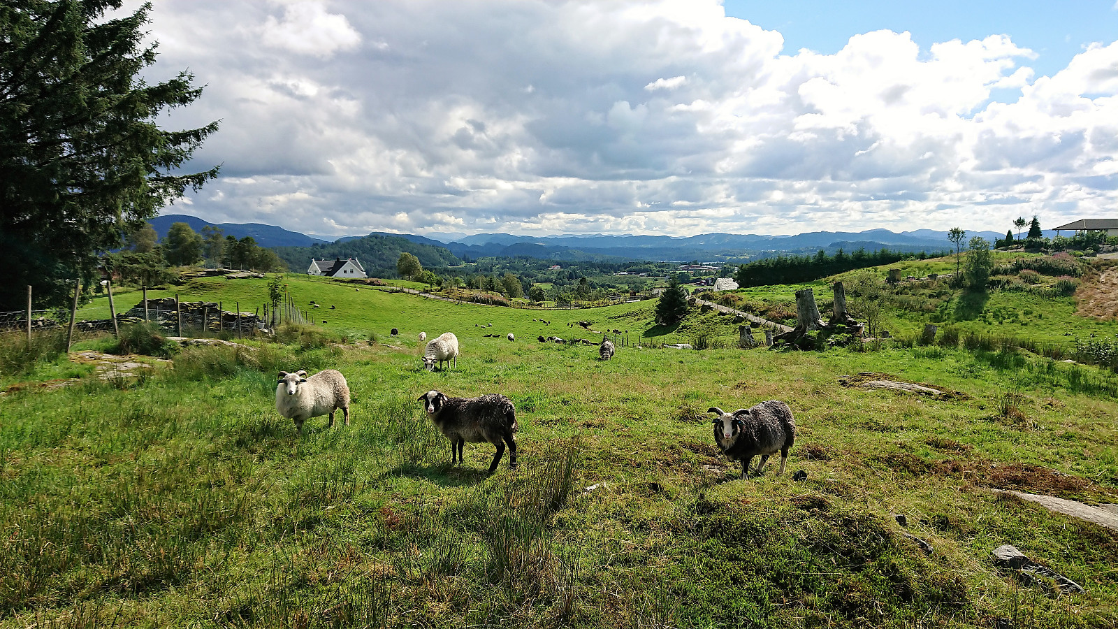
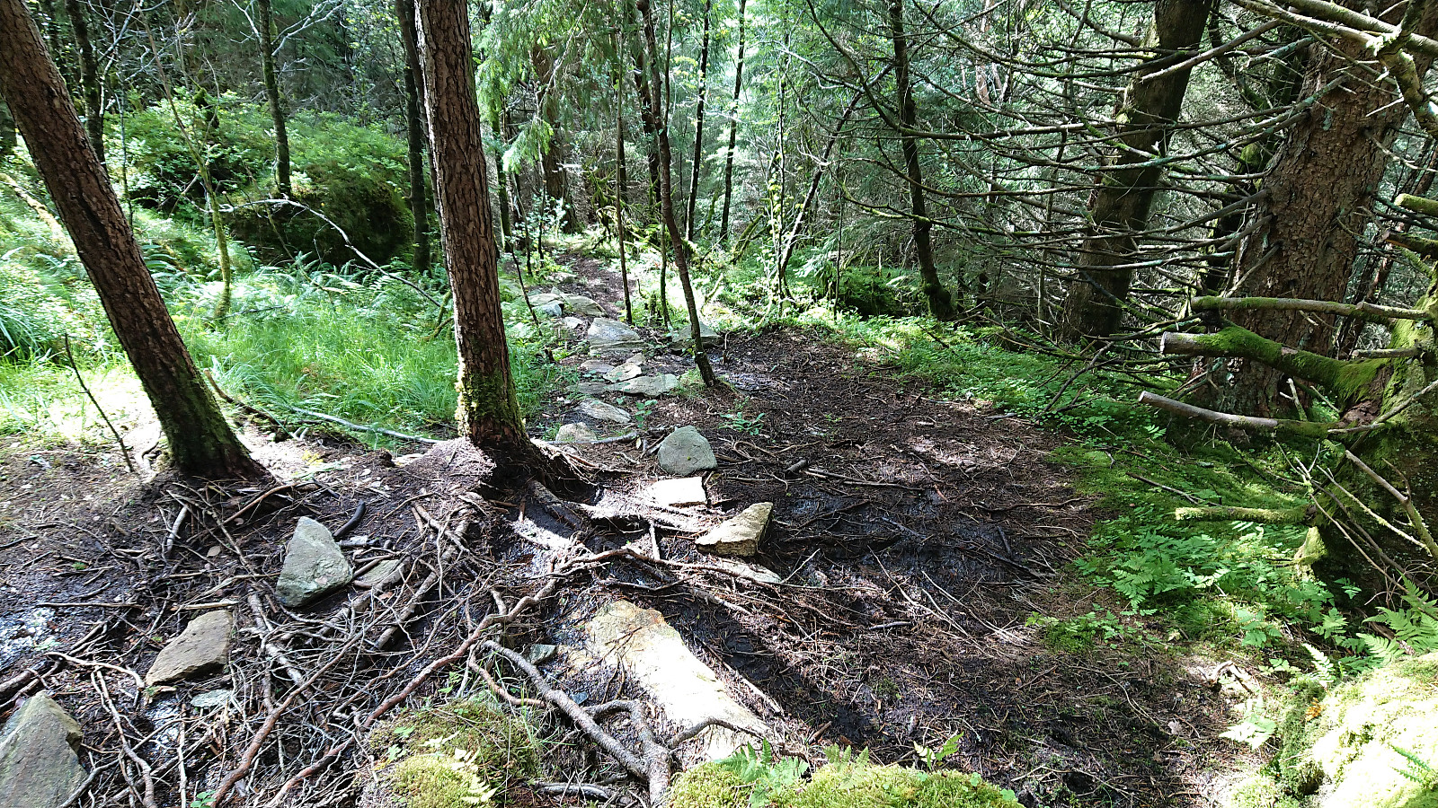
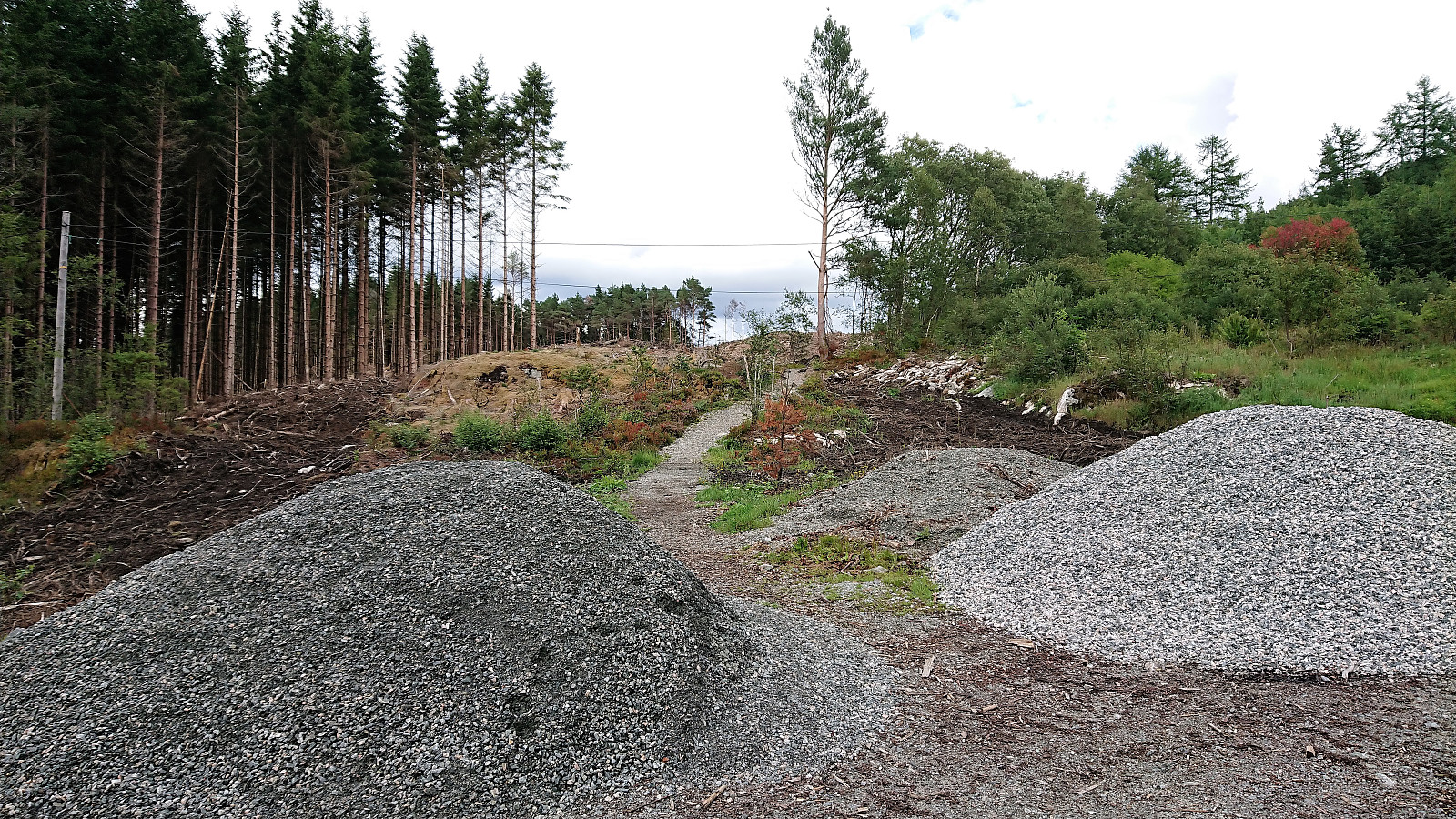
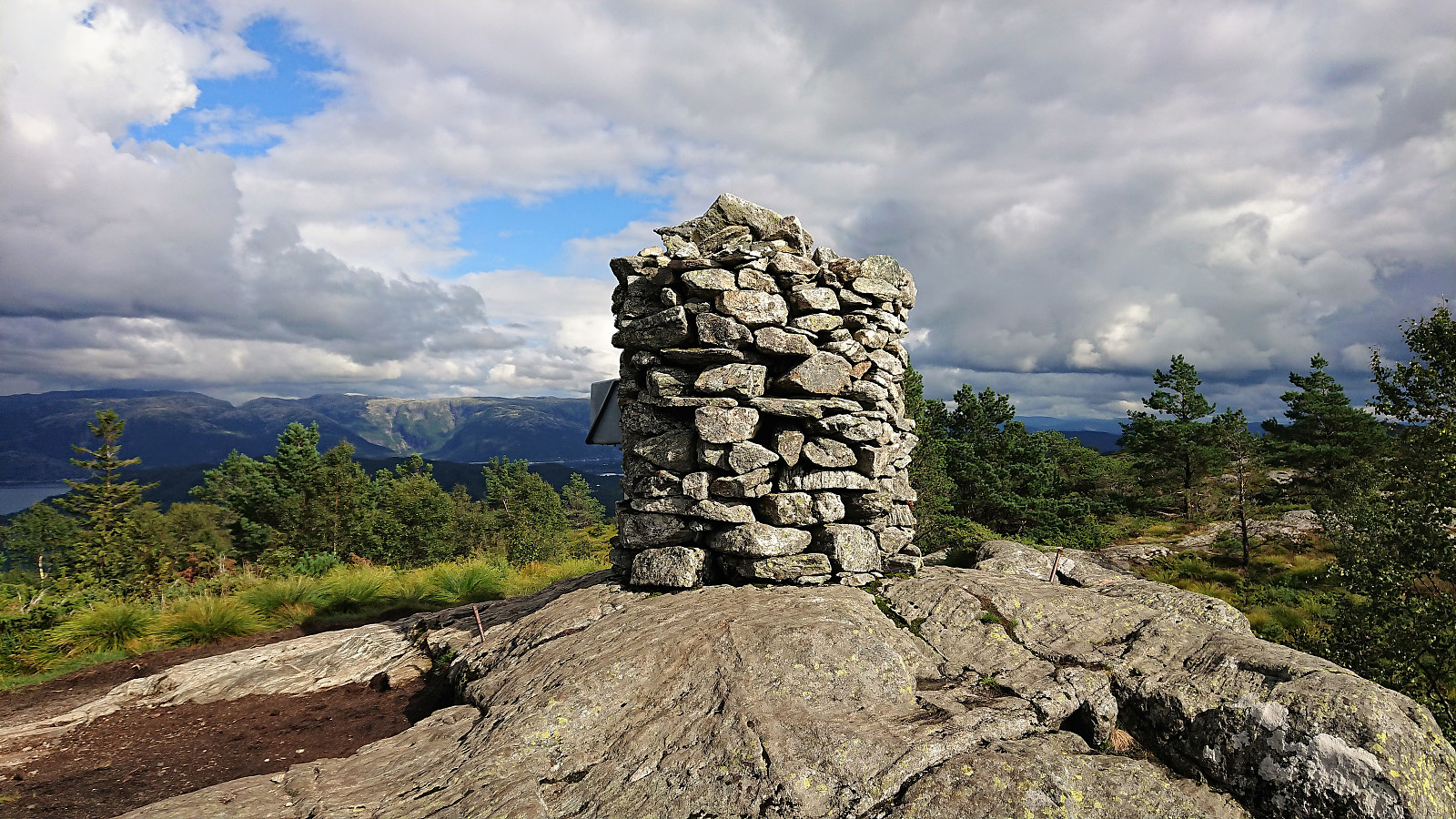
From the map, ascending Lyngfjellet seemed fairly straightforward, with a road going pretty much all the way to the summit, and indeed this was the case. However, just after passing the last house I had to climb over (or rather step over) an electric fence with grazing cattle on the other side. The cattle did not pay me much attention though, and I shortly arrived at the summit.
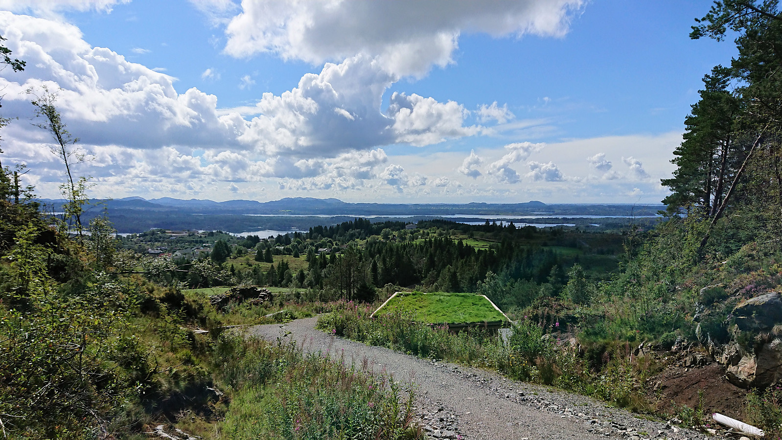
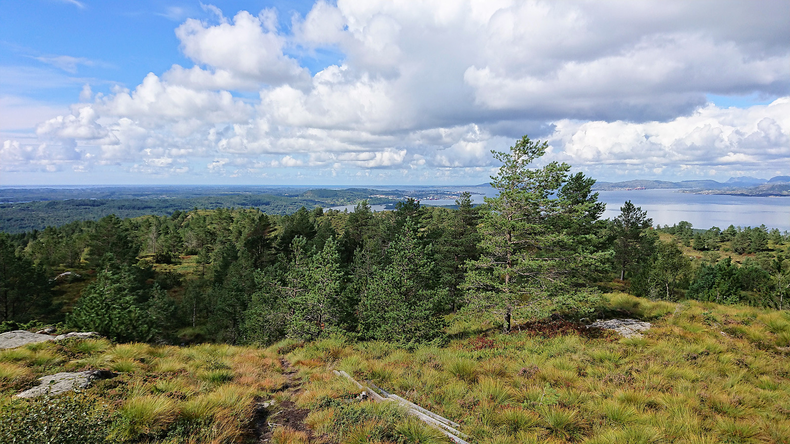
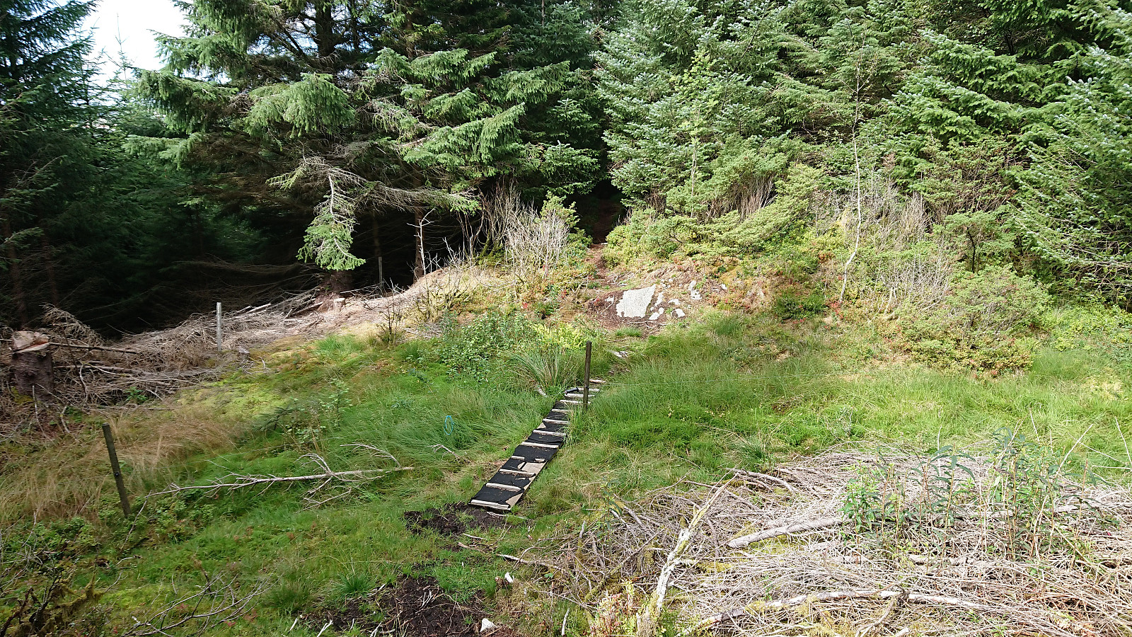
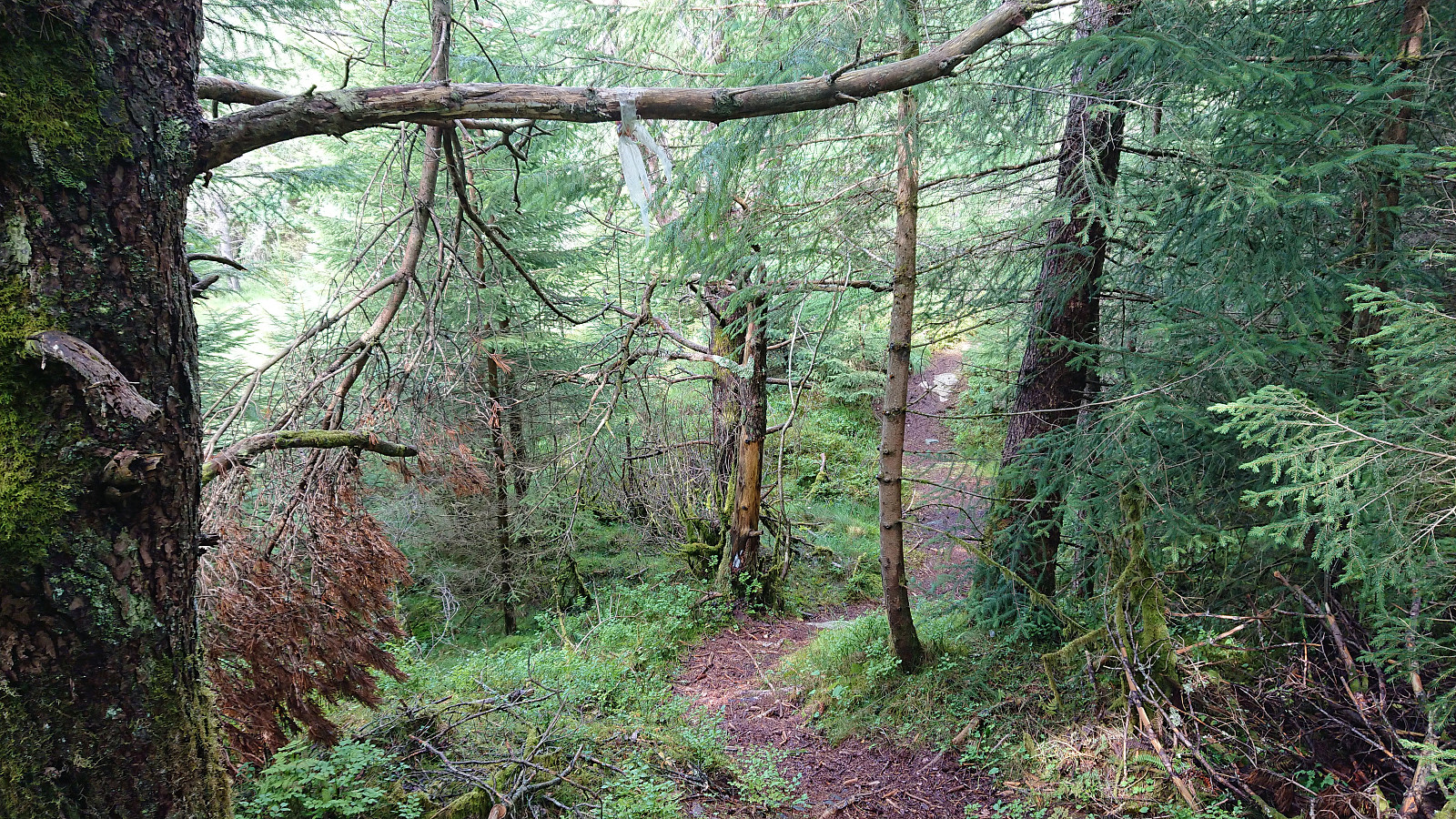
After signing the visitor register there was not much point in hanging around as the views were rather limited. But just as I was about to return to the cattle and the electric fence I noticed a trail coming up from the north. And as usual my curiosity for unknown trails won and I instead followed this new trail, marked with white plastic ribbons, north towards Haukåsskolten, which provided a nice view towards Kolåsfjellet.
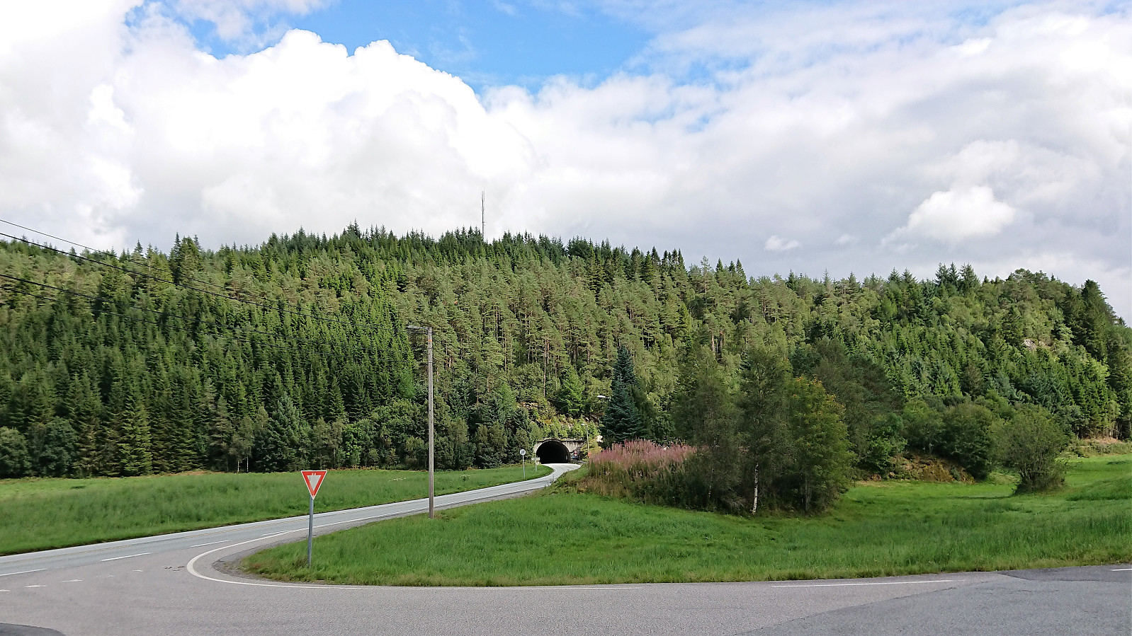
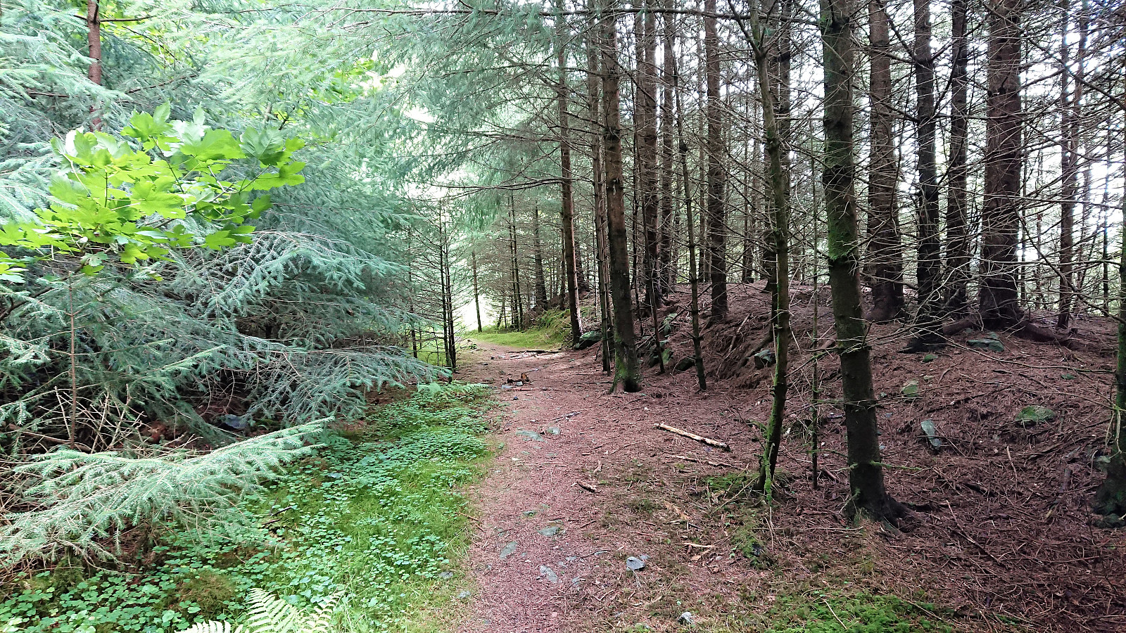
Here the trail turned south and started descending relatively steeply, ending up above the entrance to the tunnel going through Lyngfjellet. From there I followed the gravel road back to the main road I had left not too long ago just before starting my ascent to the electric fence, concluding my mini roundtrip of Lyngfjellet.
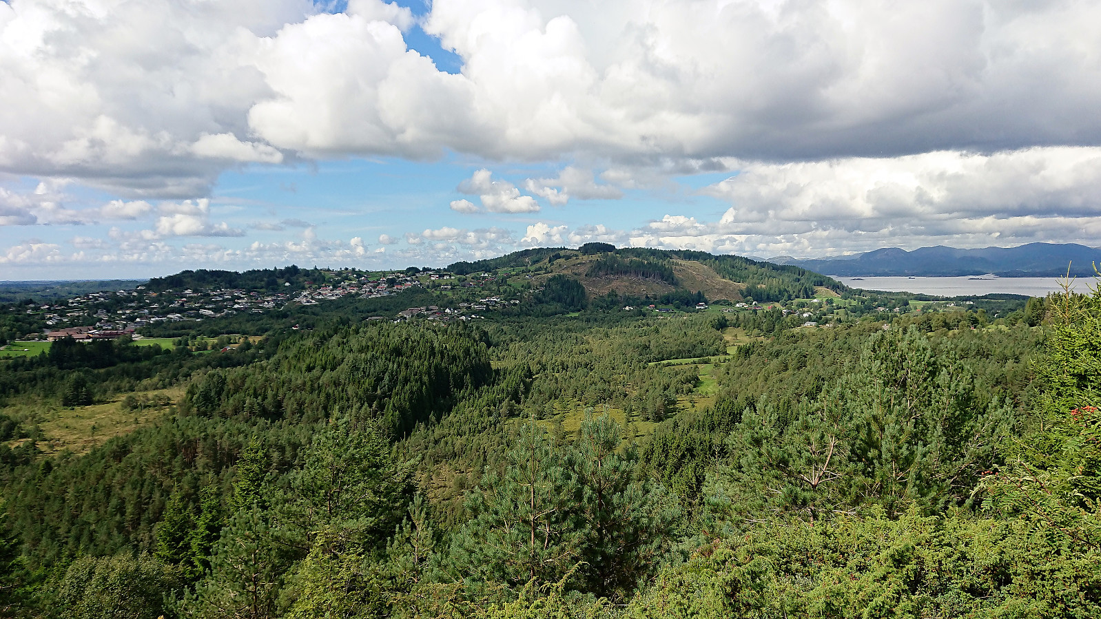
Bonus: Skausnøya
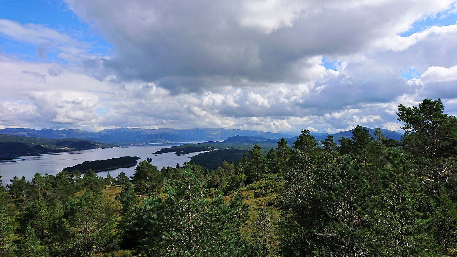
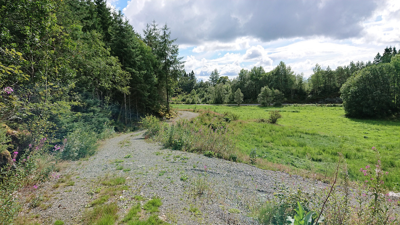
Plenty of time until the next bus to Bergen, so I started walking east along the old road to Vågseidet. No sidewalks, but very limited traffic. When arriving at Vågseidet I still had plenty of time to spare, almost 1.5 hours. I therefore decided to make a quick visit to Skausnøya to shorten the wait.
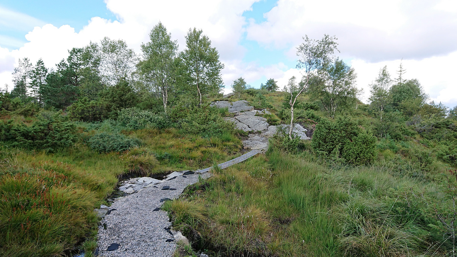
Unlike for my recent visit to Skausnøya, the trailhead was no longer blocked, which made for a much nicer start of the hike. At the summit I had a quick bite before returning to the bus stop at Våge, ironically having to almost run at the end to ensure that I got there in time…
Conclusion
In summary, a nice hike that can be recommended. Kolåsfjellet was very easily accessible and provided very nice views, and the finding of the new path down from Lyngfjellet resulted in this part of the hike becoming more interesting than that it would otherwise had been. And Skausnøya again provided excellent views and is worth a visit on its own.
| Startzeitpunkt | 11.08.2018 13:27 (UTC+01:00 SZ) |
| Endzeitpunkt | 11.08.2018 17:23 (UTC+01:00 SZ) |
| Gesamtzeit | 3h 56min |
| Zeit in Bewegung | 3h 47min |
| Pausenzeit | 0h 9min |
| Gesamtschnitt | 4,3km/h |
| Bewegungsschnitt | 4,4km/h |
| Entfernung | 16,8km |
| Höhenmeter | 753m |


Benutzerkommentare