
Geitanuken from Morvik (07.08.2018)

Geschrieben von hbar (Harald Barsnes)

| Startpunkt | Viddalen (50m) |
|---|---|
| Endpunkt | Lønborg (55m) |
| Tourcharakter | Bergtour |
| Tourlänge | 3h 00min |
| Entfernung | 12,5km |
| Höhenmeter | 623m |
| GPS |
|
| Besteigungen | Geitanuken (304m) | 07.08.2018 |
|---|---|---|
| Stornipa (174m) | 07.08.2018 | |
| Ørneberget (238m) | 07.08.2018 |
Geitanuken from Morvik

Change of plans...
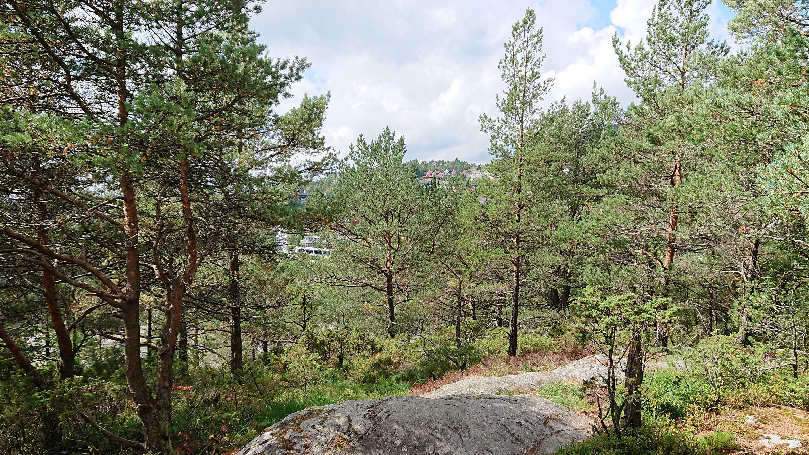
My initial plan to go hiking to new peaks in Lindås had to be abandoned as the bus to Knarvik never showed up at Handelshøyskolen. I therefore jumped on the next bus heading to Åsane and came up with the alternative plan of instead ascending Geitanuken from the south/southwest, as the map showed a trail there that I had not yet tried.
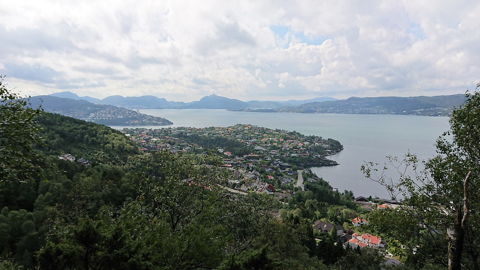
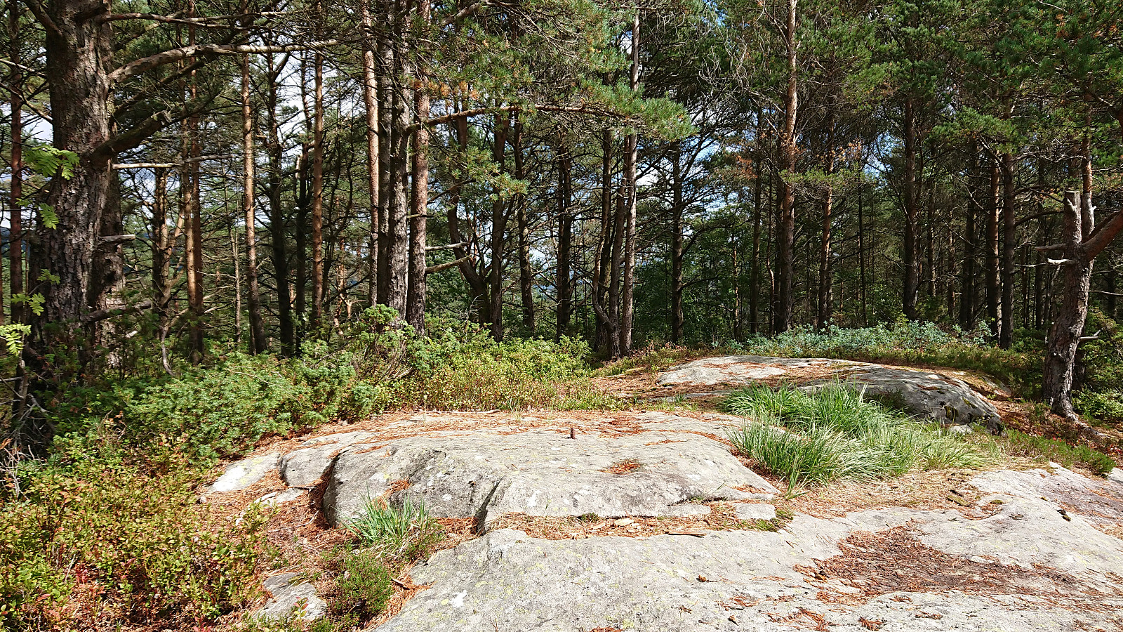
Geitanuken
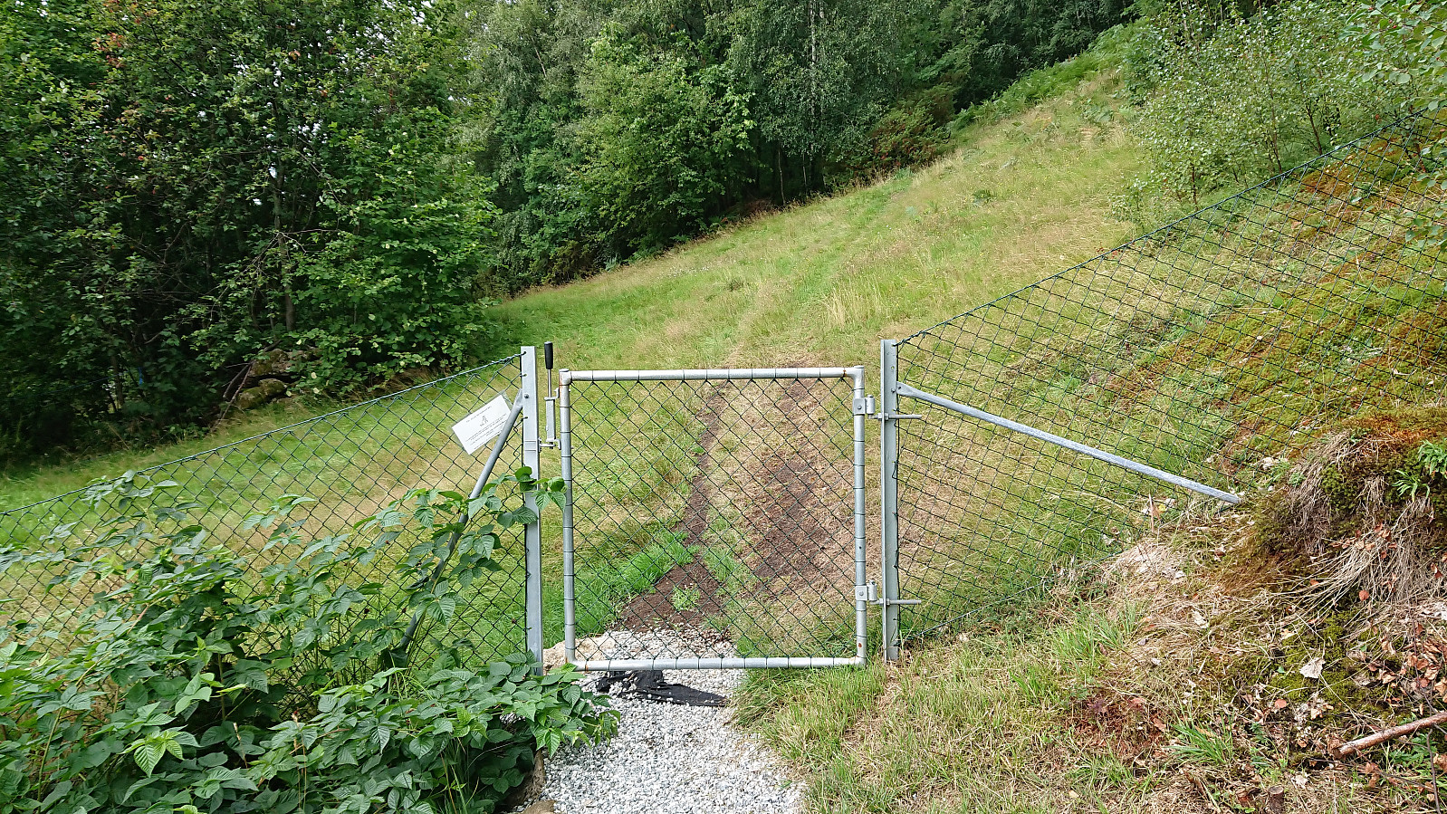
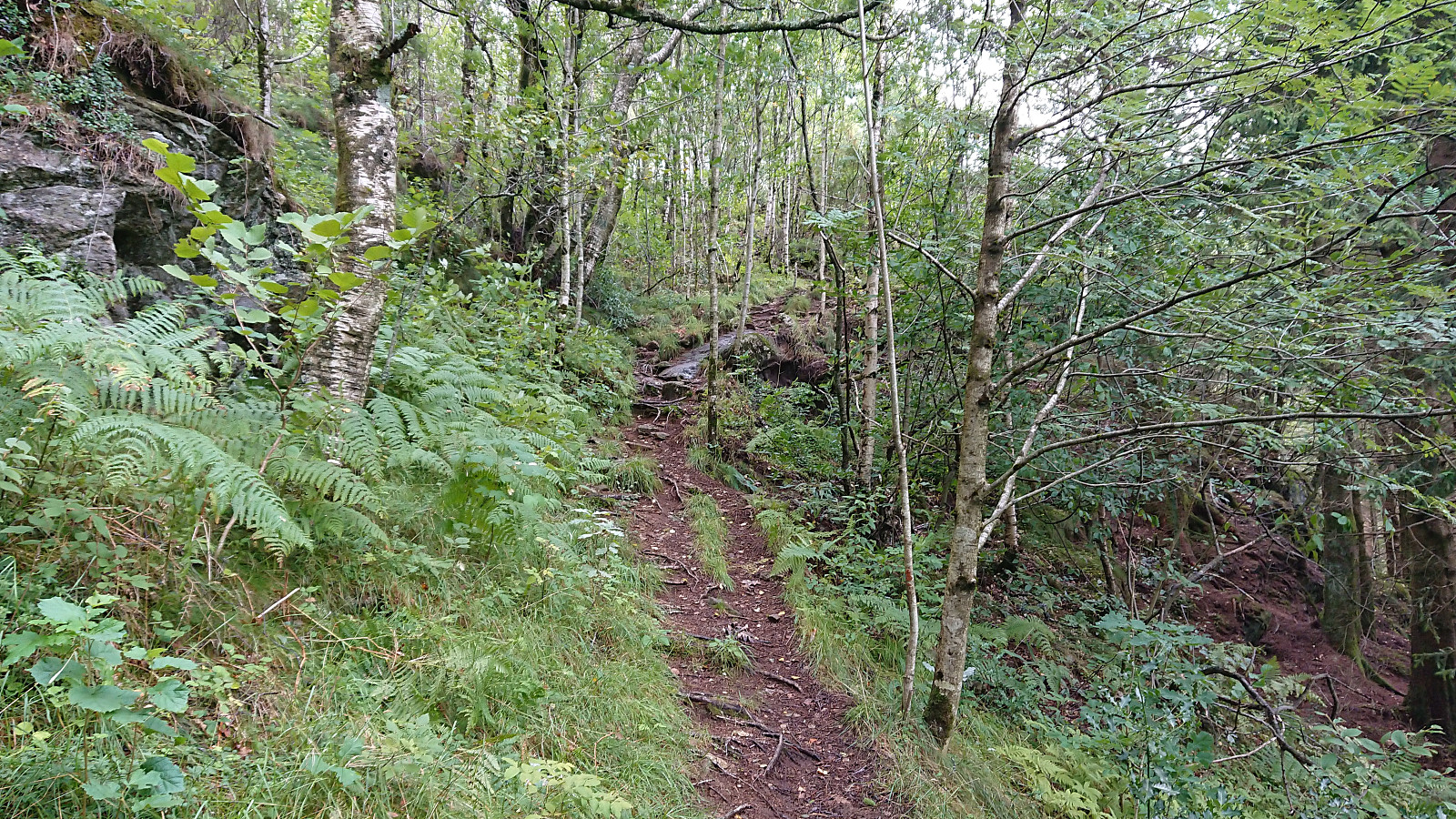
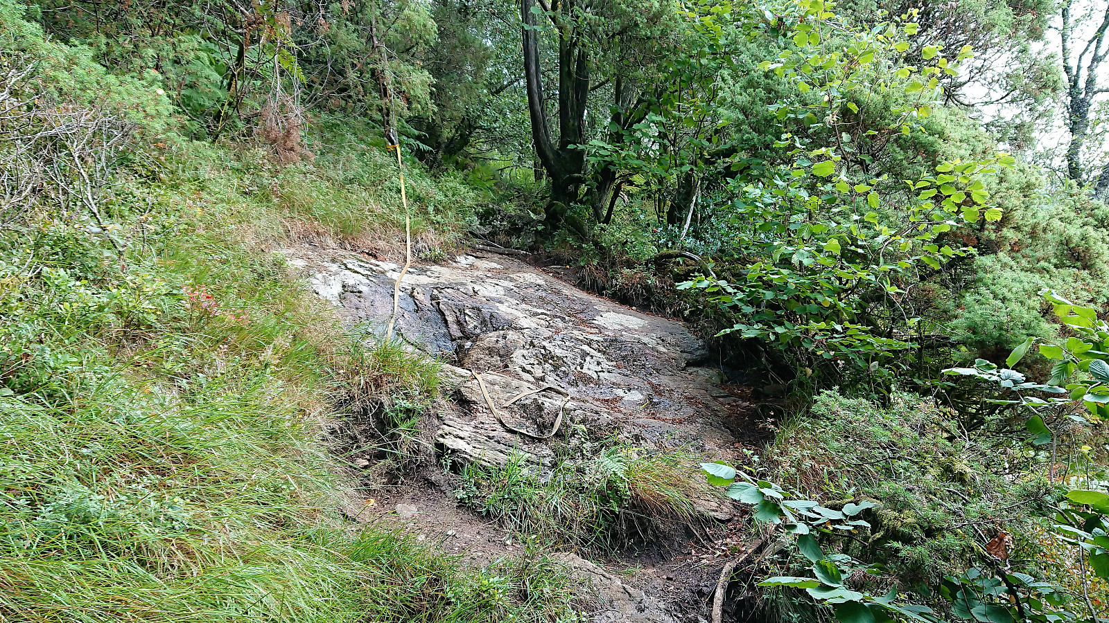
Left the bus at Viddalen and followed Farbotslia east towards where the start of a trail was indicated on the map. Did not find a marked trailhead, but just west of Morvikbotn 258 I came across a small gate and what looked like a potential trail on the other side. Shortly after passing through the gate the trail started climbing, at times relatively steeply, there were even a couple of ropes, although these were most often not really needed.
The trail split two or three times and the option I ended up with did not head east like the trail indicated on the map, but rather north, finally connecting with the main trial across the ridge, which I then followed the rest of the way to the summit of Geitanuken.
Stornipa
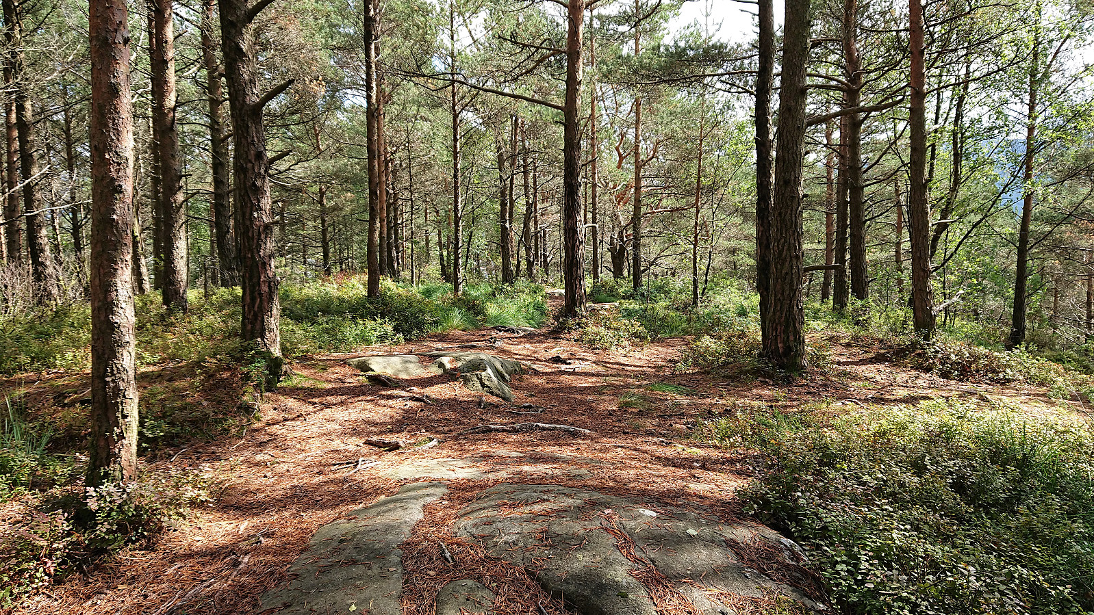
Upon reaching the road at Myrdalsskogen I decided to also take a detour across Stornipa. Something I had considered before, but never bothered doing. Not the most interesting small peak, with next to no views, but it did have its own trig marker and the trail (or perhaps trails, as it split multiple times) all the way to Blokkhaugen was very nice. Clearly an upgrade from the alternative walk along the road.
Getting back home
Now all that remained was to walk home to Lønborg, with a quick visit to Ørneberget along the way. So while not the hike I had in mind, it still turned out not too bad in the end.
| Startzeitpunkt | 07.08.2018 12:12 (UTC+01:00 SZ) |
| Endzeitpunkt | 07.08.2018 15:13 (UTC+01:00 SZ) |
| Gesamtzeit | 3h 00min |
| Zeit in Bewegung | 3h 00min |
| Pausenzeit | 0h 0min |
| Gesamtschnitt | 4,1km/h |
| Bewegungsschnitt | 4,1km/h |
| Entfernung | 12,5km |
| Höhenmeter | 622m |


Benutzerkommentare