
Bjørndalen (28.07.2018)

Skrevet av hbar (Harald Barsnes)

| Startsted | Mannsverk p-plass (367moh) |
|---|---|
| Sluttsted | Mannsverk p-plass (366moh) |
| Turtype | Fottur |
| Turlengde | 1t 28min |
| Distanse | 4,4km |
| Høydemeter | 207m |
| GPS |
|
| Andre besøkte PBE'er | Mannsverk p-plass (365moh) | 28.07.2018 |
|---|
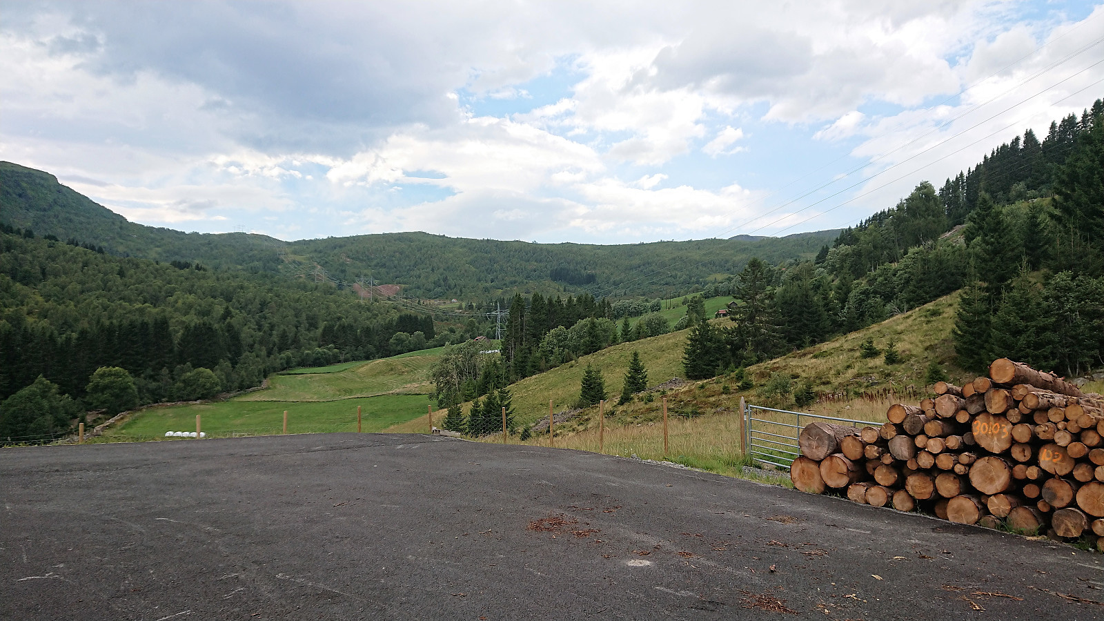
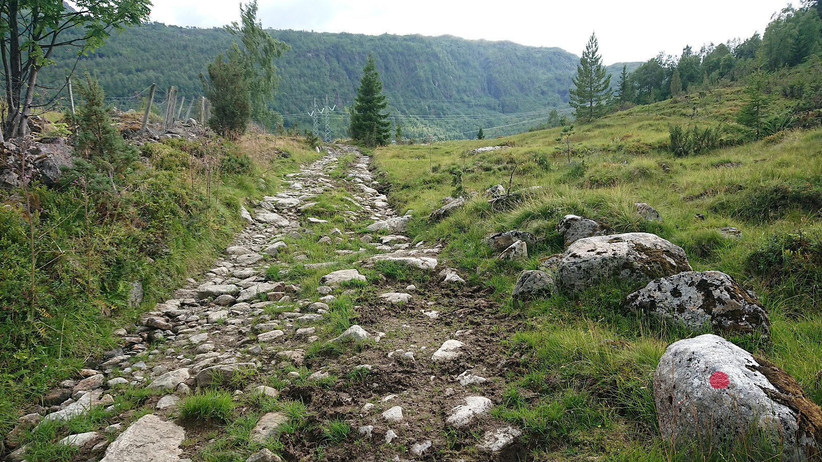
Bjørndalen
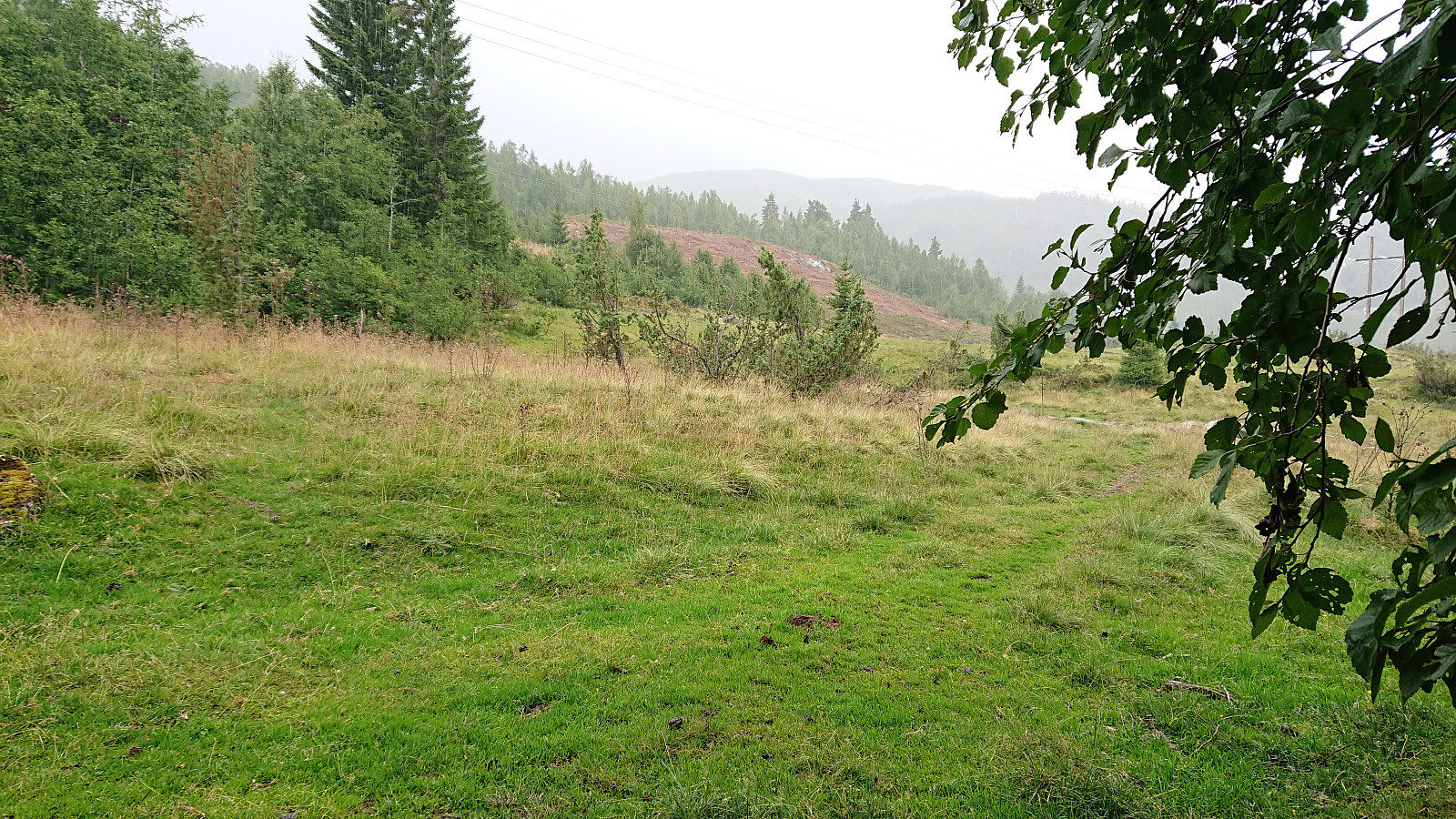
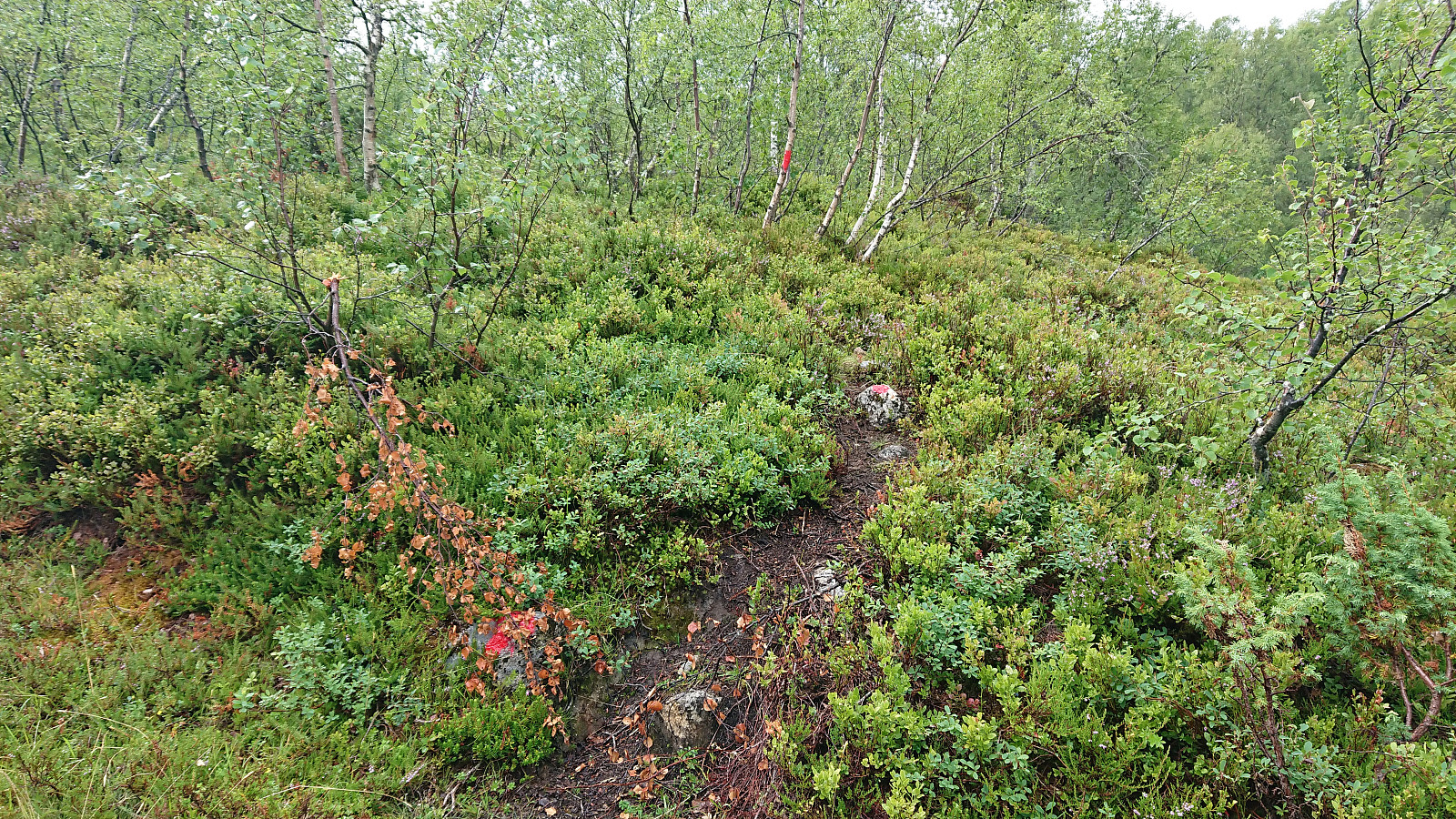
A hike in Øvstedalen that had to be cut short due to a thunder storm. The plan had been to follow the trail indicated on the map towards Fjærlandssetevatnet, but in Bjørndalen we came across a newly marked, but unnamed, trail/tractor road that we decided to try instead. Even though this trail started in the wrong direction, we assumed/hoped it would later turn north and take us where we wanted to go. However, it shortly started raining quite heavily and soon we could also hear thunder. We therefore took shelter as best we could and waited until the storm passed. It would probably not be the last we'd see of the rain though, so after following the trail a bit further, just to see if it turned in the wanted direction (which it seemed to do), we decided to rather return to the car and try again another day.
| Starttidspunkt | 28.07.2018 15:03 (UTC+01:00 ST) |
| Sluttidspunkt | 28.07.2018 16:32 (UTC+01:00 ST) |
| Totaltid | 1t 28min |
| Bevegelsestid | 1t 16min |
| Pausetid | 0t 12min |
| Snittfart totalt | 3,0km/t |
| Snittfart bevegelsestid | 3,5km/t |
| Distanse | 4,4km |
| Høydemeter | 206m |


Kommentarer