Prestholtskarvet (21.07.2018)

Written by hbar (Harald Barsnes)

| Start point | Prestholtstølan (1,241m) |
|---|---|
| Endpoint | Prestholtstølan (1,242m) |
| Characteristic | Hillwalk |
| Duration | 3h 08min |
| Distance | 8.9km |
| Vertical meters | 641m |
| GPS |
|
| Ascents | Prestholtskarvet (1,859m) | 21.07.2018 |
|---|---|---|
| Visits of other PBEs | Prestholtseter (1,246m) | 21.07.2018 |
Prestholtskarvet
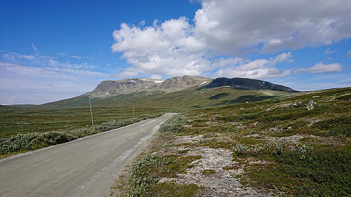
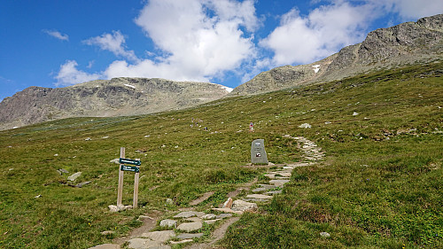
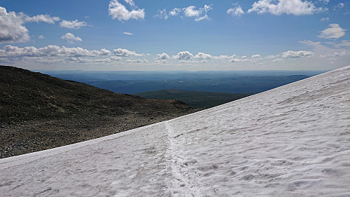
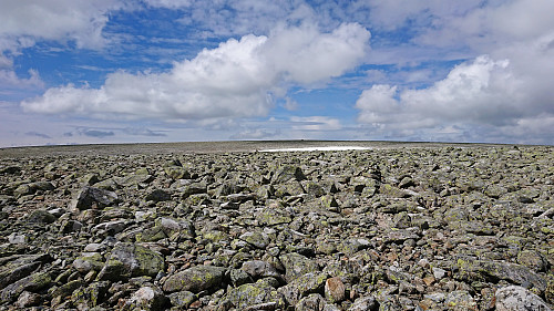
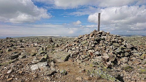
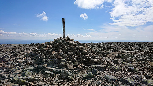
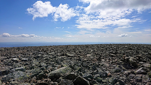
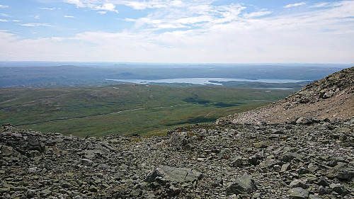
We used the standard route up Prestholtskardet from the parking lot at Prestholtseter before trying to follow the partially marked trail across the numerous rocks, and some remaining snow, towards the summit of Prestholtskarvet. Good views from the summit, but due to all the rocks, it is probably nicer to visit this summit in the winter time.
| Start date | 21.07.2018 11:09 (UTC+01:00 DST) |
| End date | 21.07.2018 14:18 (UTC+01:00 DST) |
| Total Time | 3h 08min |
| Moving Time | 2h 49min |
| Stopped Time | 0h 19min |
| Overall Average | 2.8km/h |
| Moving Average | 3.1km/h |
| Distance | 8.9km |
| Vertical meters | 641m |



User comments