
Kvasshovd (20.07.2018)

Written by hbar (Harald Barsnes)

| Start point | Karistølhøgdi (1,080m) |
|---|---|
| Endpoint | Karistølhøgdi (1,081m) |
| Characteristic | Hillwalk |
| Duration | 1h 58min |
| Distance | 7.4km |
| Vertical meters | 286m |
| GPS |
|
| Ascents | Kvasshovd (1,278m) | 20.07.2018 20:10 |
|---|
Kvasshovd
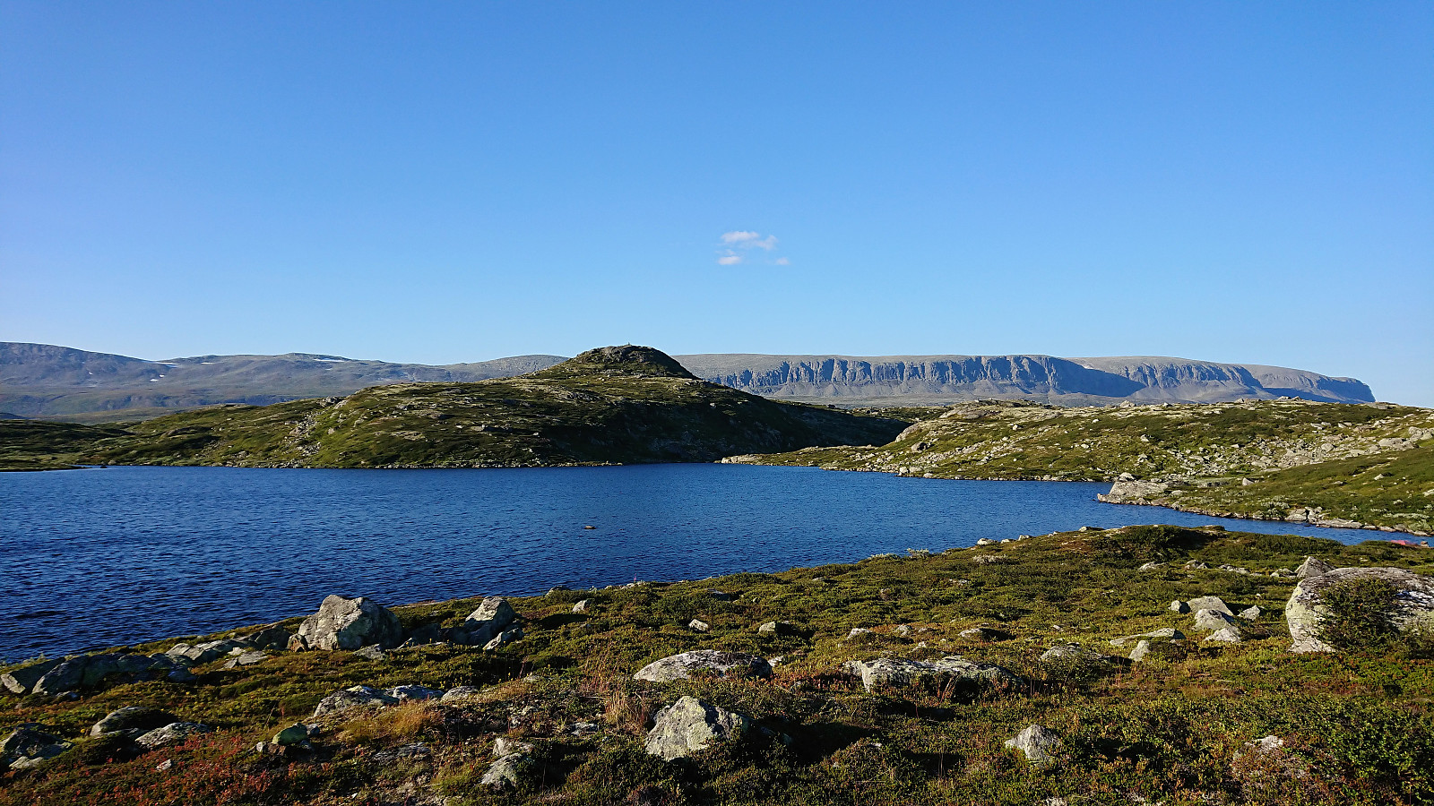
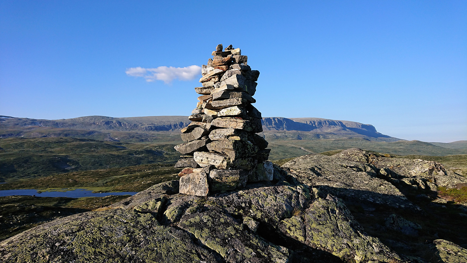
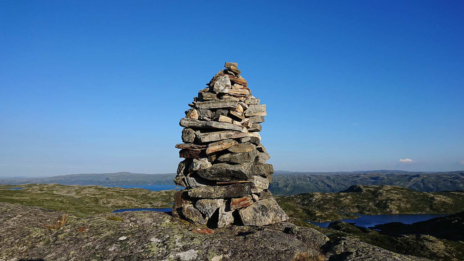
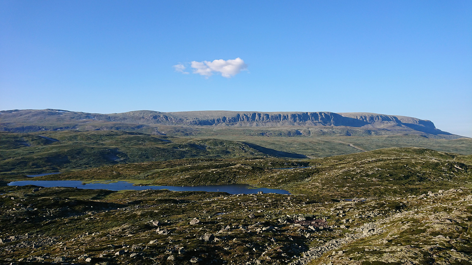
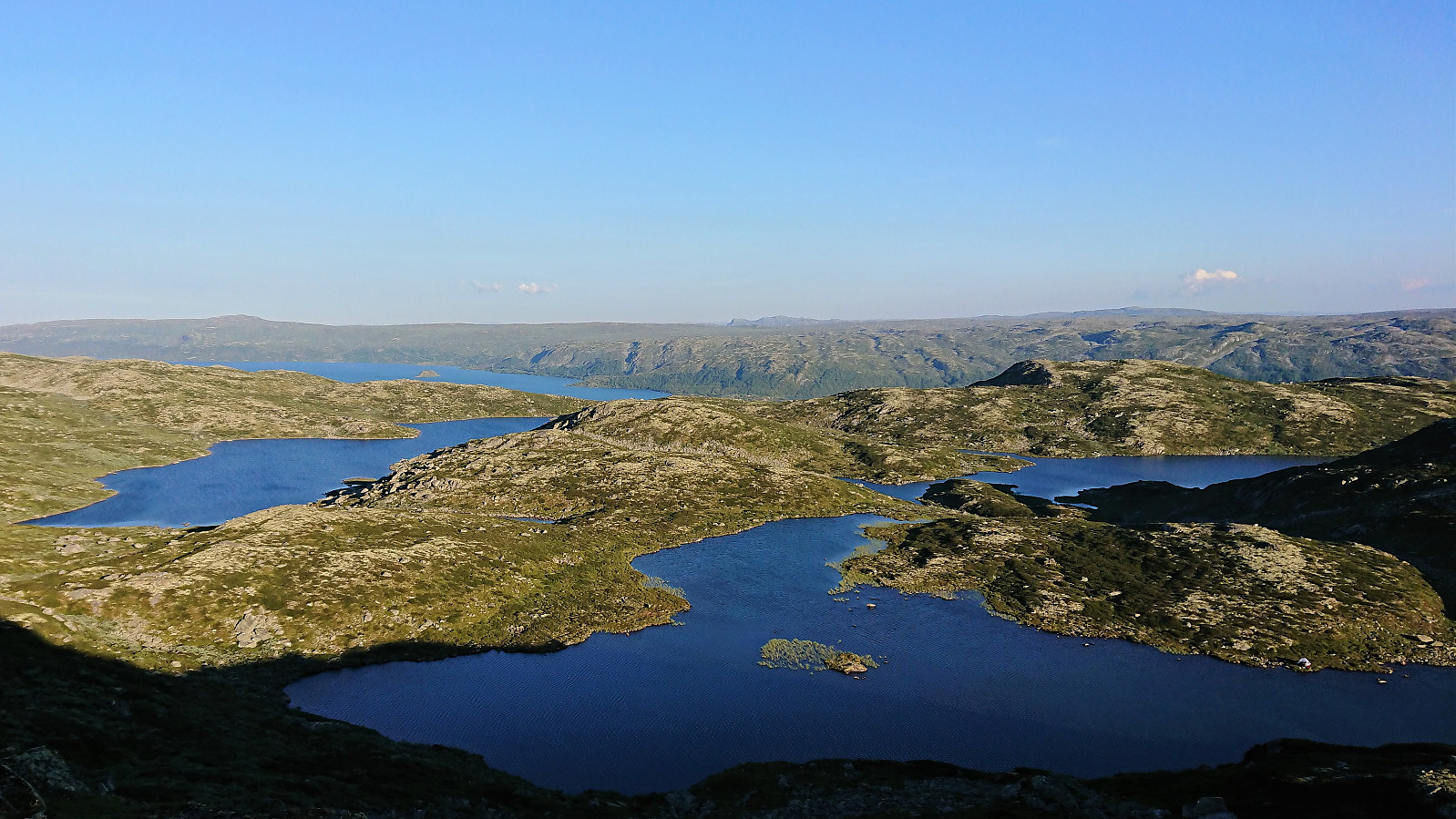
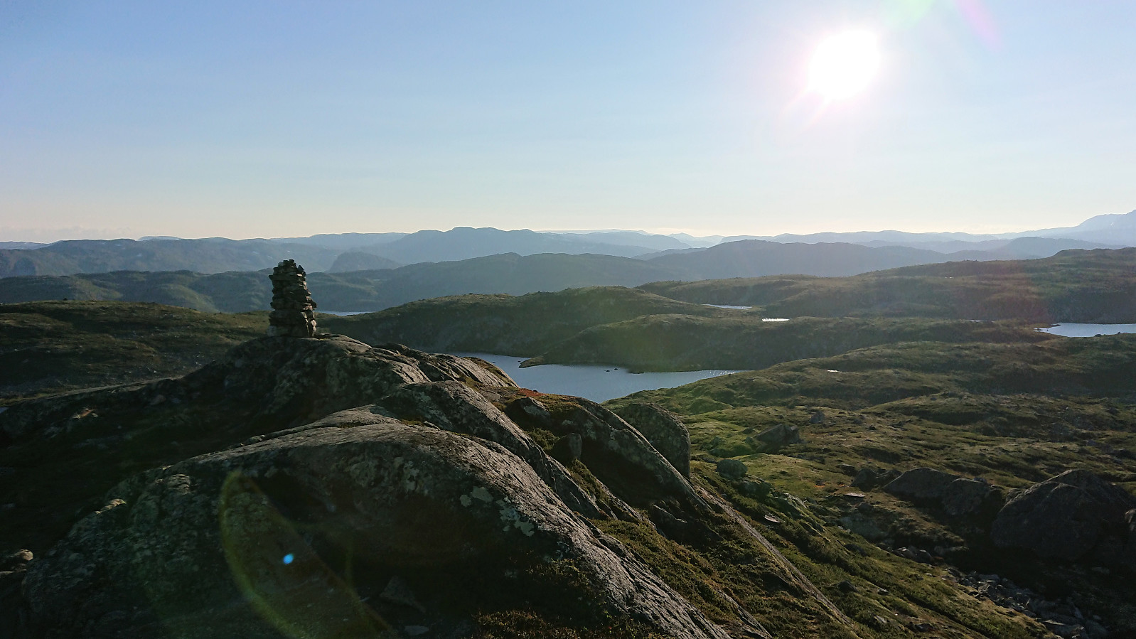
Short evening hike before spending the night at Haugastøl. All of the hike was along clear and easy-to-follow trails, although Kvasshovd itself was not indicated on any of the signs. The only trouble I had was missing my exit when heading east after visiting the summit, but the trail was quickly relocated. Much better views from the summit than expected, especially towards Hallingskarvet.
| Start date | 20.07.2018 19:21 (UTC+01:00 DST) |
| End date | 20.07.2018 21:19 (UTC+01:00 DST) |
| Total Time | 1h 58min |
| Moving Time | 1h 49min |
| Stopped Time | 0h 9min |
| Overall Average | 3.7km/h |
| Moving Average | 4.0km/h |
| Distance | 7.4km |
| Vertical meters | 286m |


User comments