
Dyranutane (20.07.2018)

Written by hbar (Harald Barsnes)

| Start point | Dyranut (1,242m) |
|---|---|
| Endpoint | Dyranut (1,244m) |
| Characteristic | Hillwalk |
| Duration | 0h 41min |
| Distance | 3.5km |
| Vertical meters | 132m |
| GPS |
|
| Ascents | Dyranutane (1,359m) | 20.07.2018 |
|---|---|---|
| Visits of other PBEs | Dyranut Fjellstova (1,245m) | 20.07.2018 |
| Dyranut Turisthytte (1,240m) | 20.07.2018 |
Dyranutane
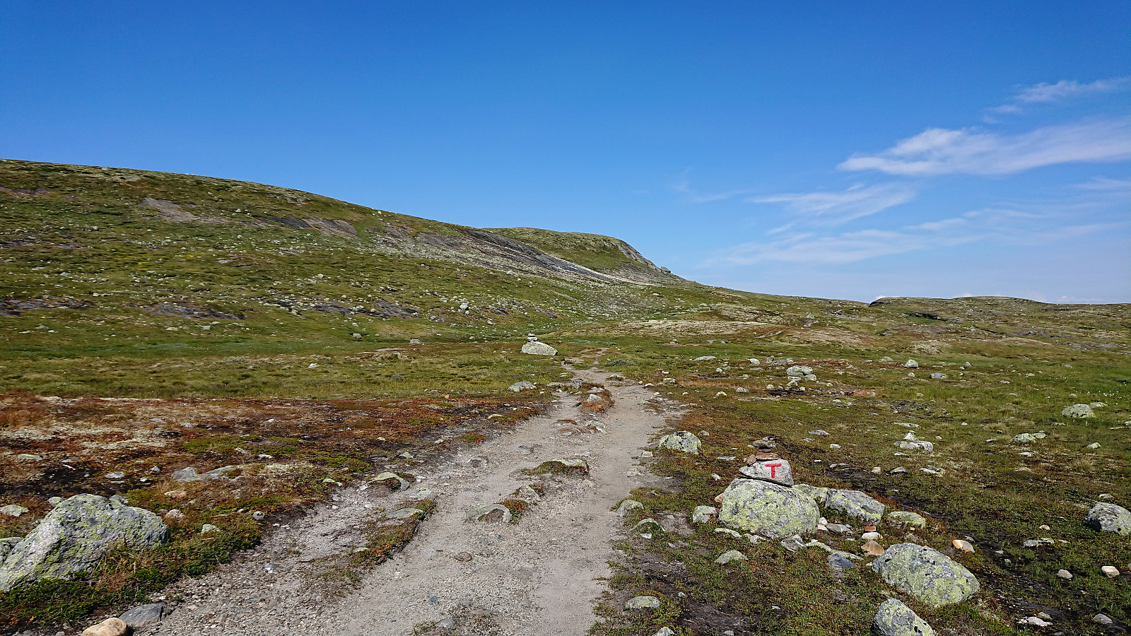
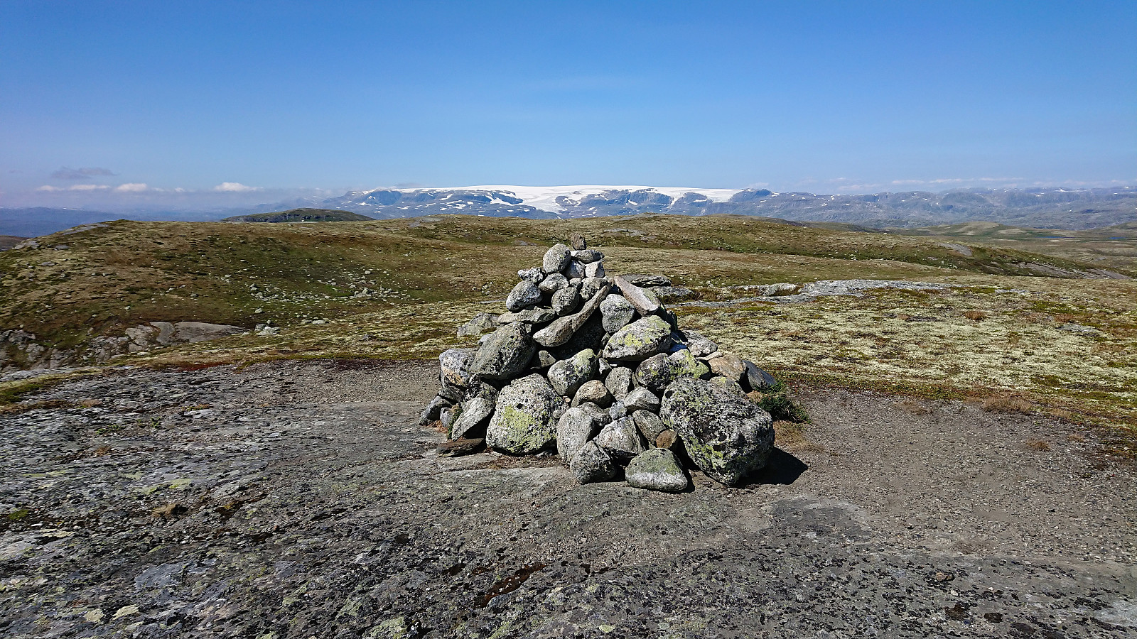
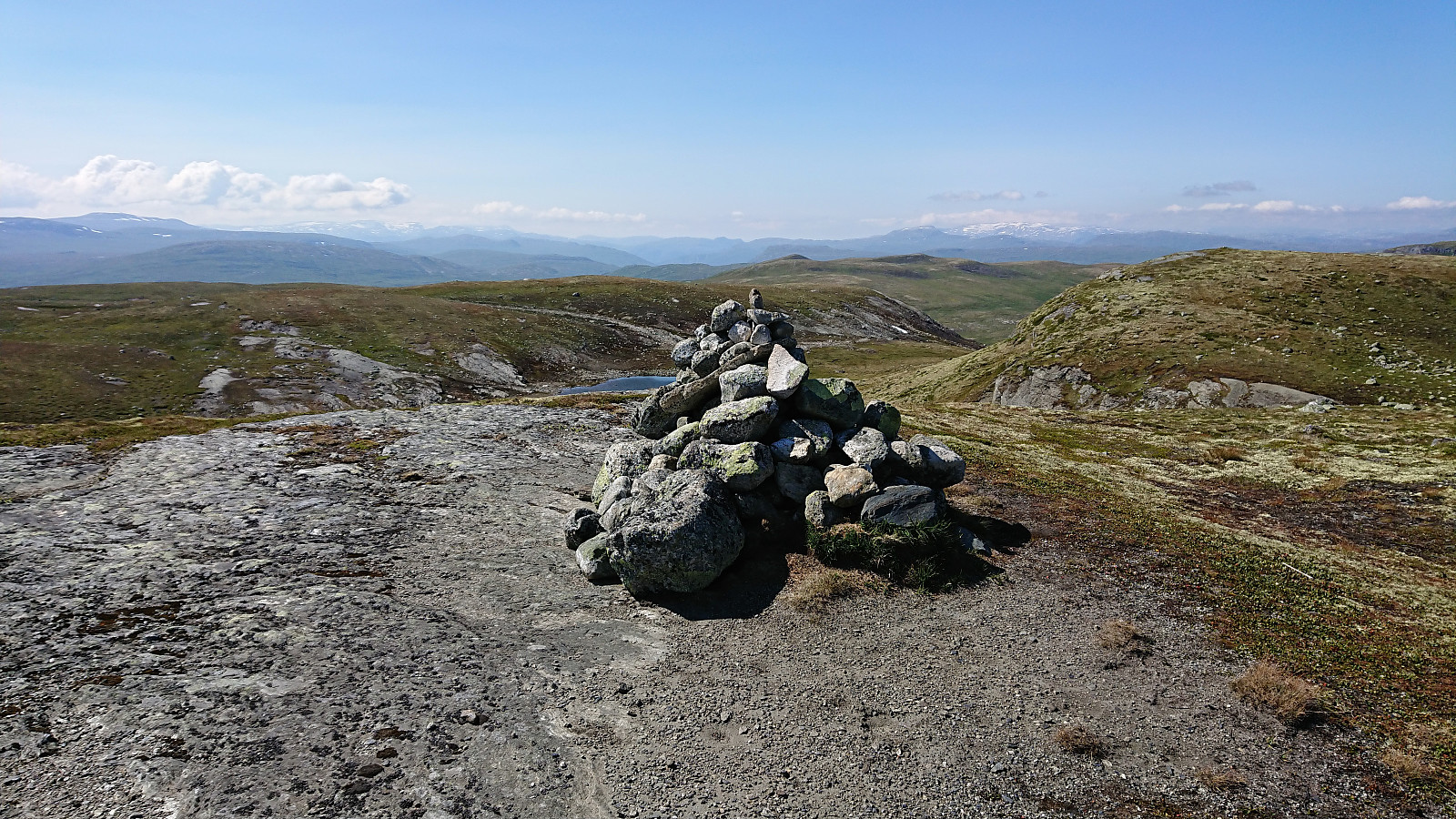
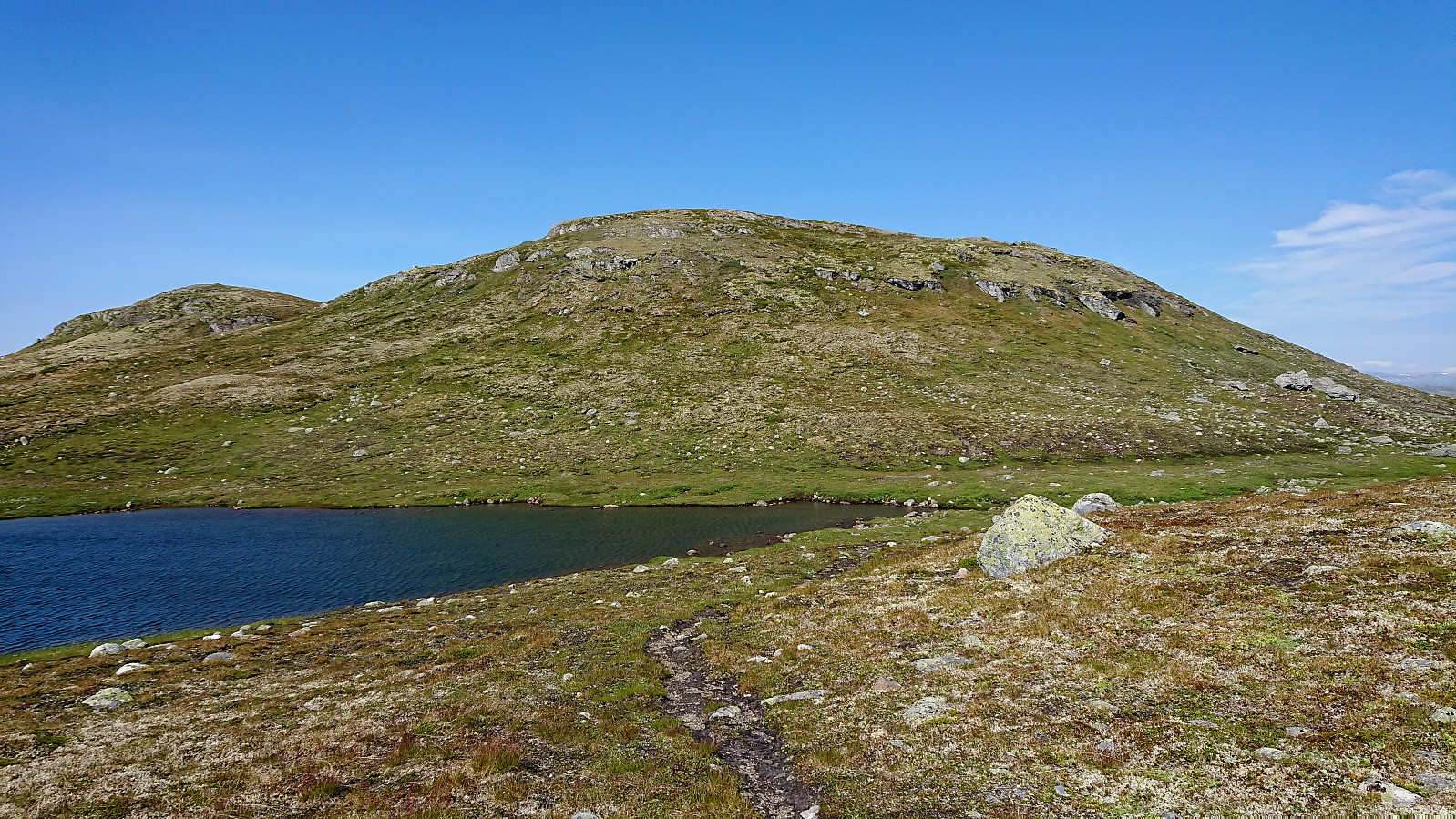
Quick visit to Dyranutane while the rest of my party was taking a break at Dyranut. Started by following the marked trail northeast, but soon realized it was not heading for the summit. I therefore left the trail and easily made my own way to the cairn indicating the highest point at Dyranutane. Excellent views, especially towards Hardangerjøkulen. On the return I decided on a more direct route south to reconnect with the trail and soon found myself back at the car. A nice short hike for those wanting a break while driving across Hardangervidden.


| Start date | 20.07.2018 15:01 (UTC+01:00 DST) |
| End date | 20.07.2018 15:42 (UTC+01:00 DST) |
| Total Time | 0h 41min |
| Moving Time | 0h 40min |
| Stopped Time | 0h 1min |
| Overall Average | 5.1km/h |
| Moving Average | 5.2km/h |
| Distance | 3.5km |
| Vertical meters | 131m |


User comments