
Jerfjellet (04.07.2018)

Skrevet av hbar (Harald Barsnes)

| Startsted | Furuberget (68moh) |
|---|---|
| Sluttsted | Sletten (107moh) |
| Turtype | Fjelltur |
| Turlengde | 4t 02min |
| Distanse | 17,2km |
| Høydemeter | 821m |
| GPS |
|
| Bestigninger | Gjerdfjellet (279moh) | 04.07.2018 |
|---|---|---|
| Andre besøkte PBE'er | Jerfjellet turbok-kasse (276moh) | 04.07.2018 |
| Utsikten Jerfjellet (220moh) | 04.07.2018 |
Jerfjellet
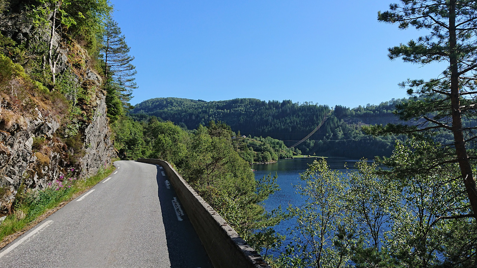
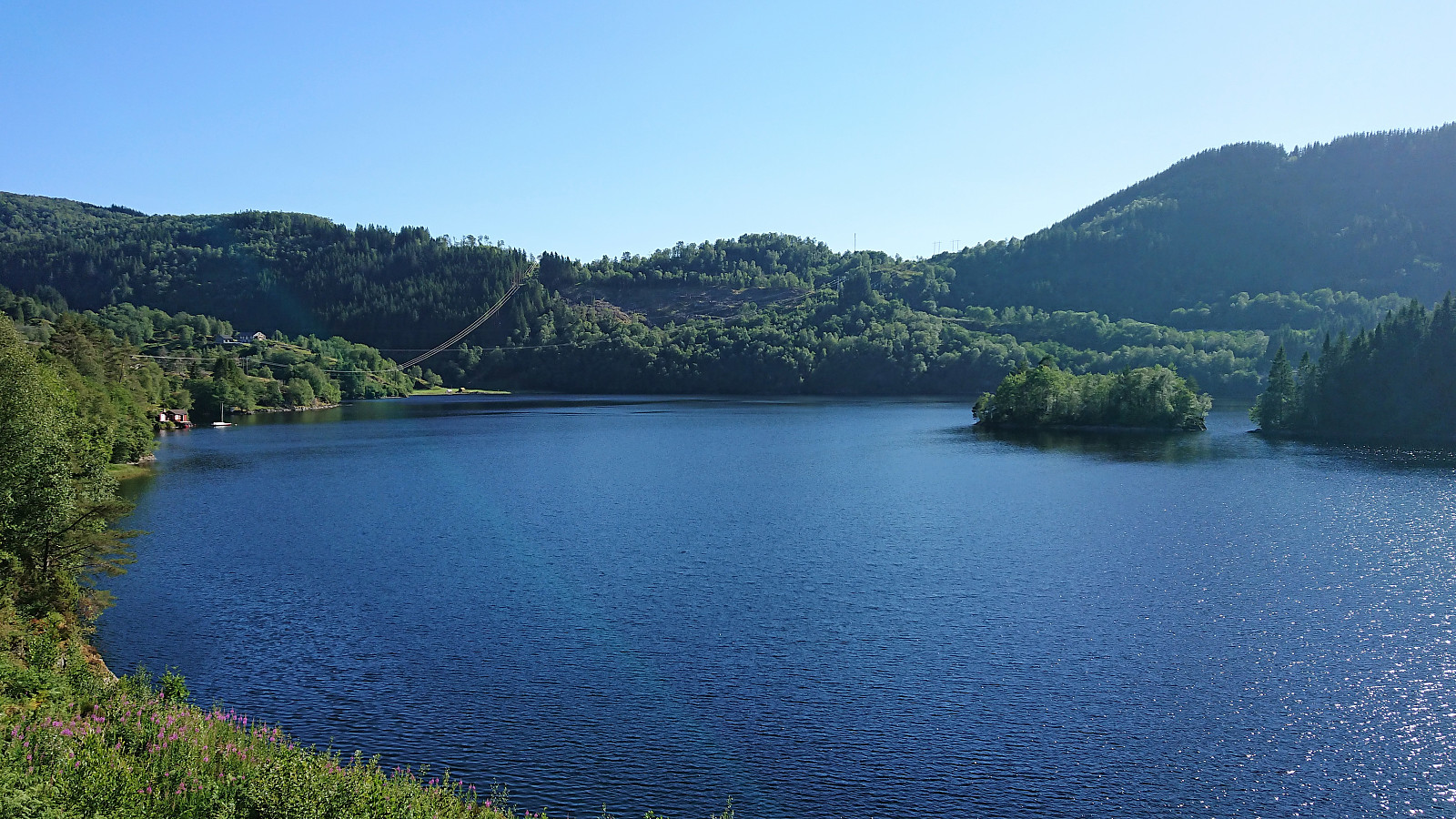
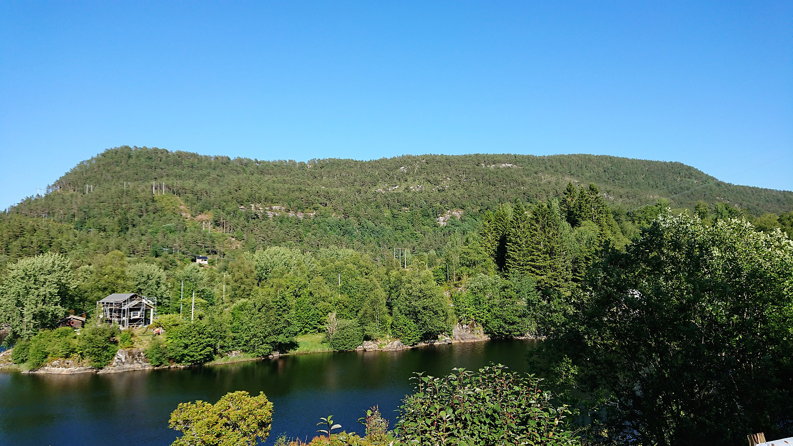
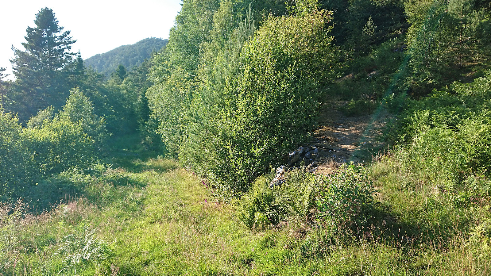
Started by taking the bus to Furuberg and from there following the road alongside Storavatnet until reaching the marked trailhead. Did not think this first part would be very interesting, but turned out nicer than expected with great views along the way, and next to no traffic.
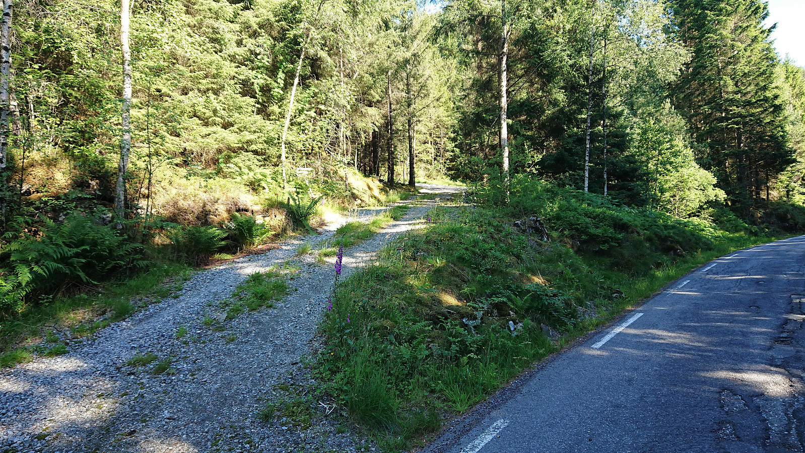
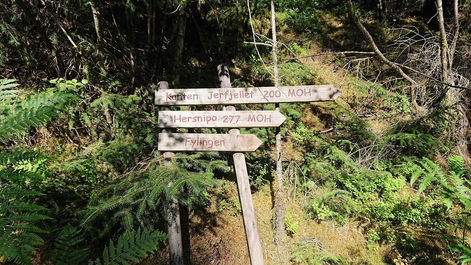
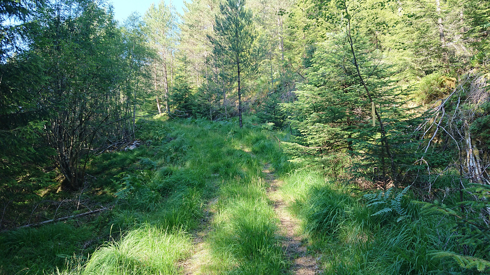
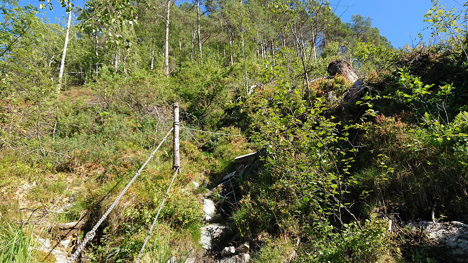
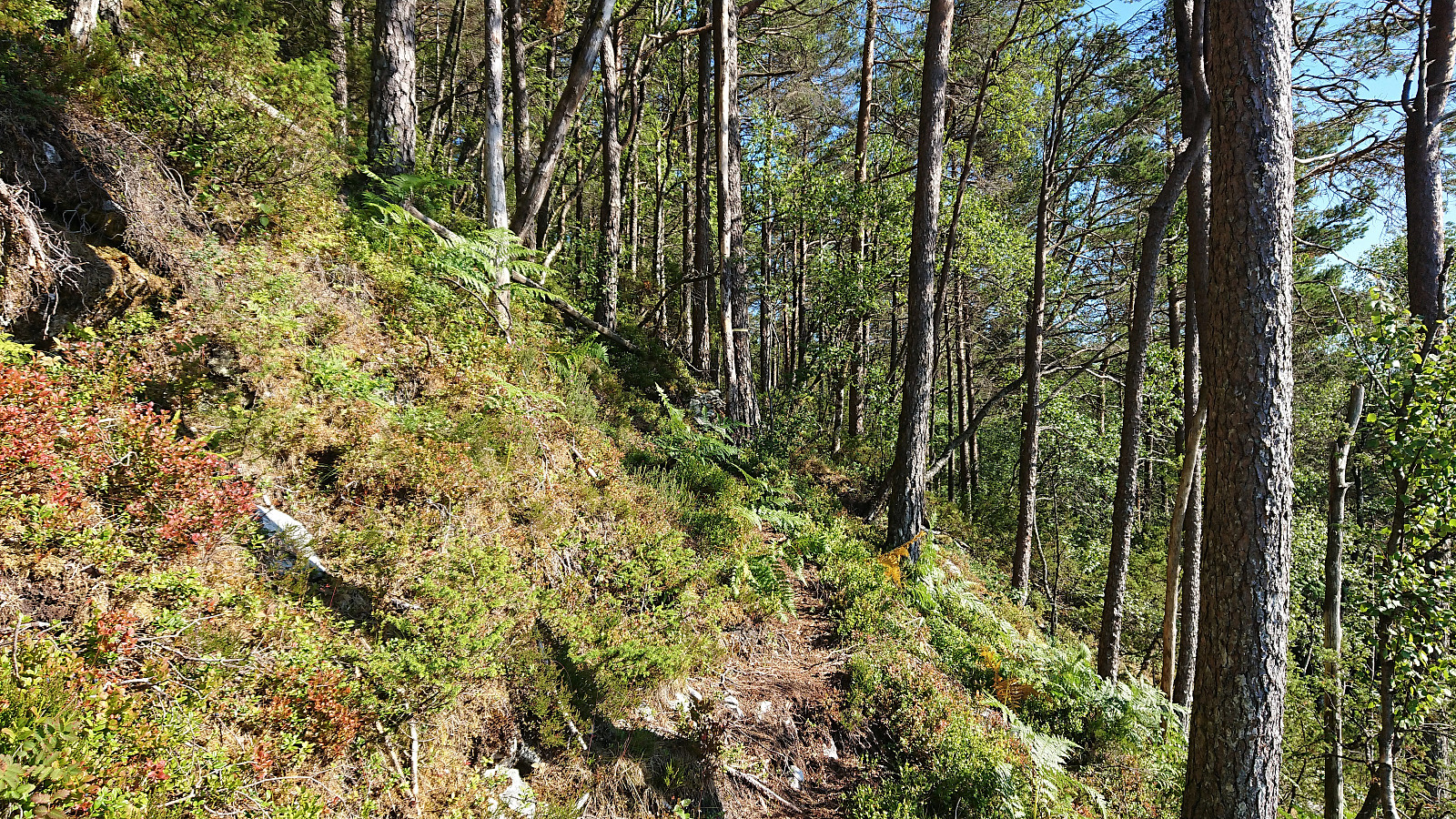
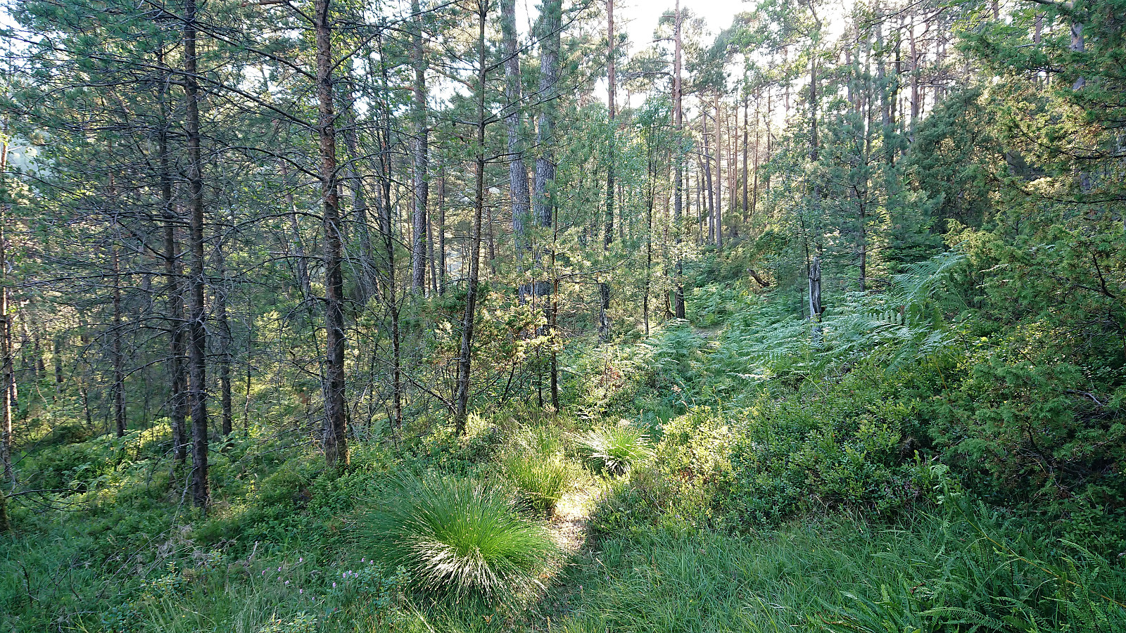
The gravel road indicating the start of the trail soon changed into a tractor road before turning into a trail marked with yellow plastic ribbons. But in the beginning it was not always easy to locate neither the trail nor the ribbons. This greatly improved as soon as the trail started its rather steep ascent, and from there on the trail was easy to follow, although a bit weak at times.
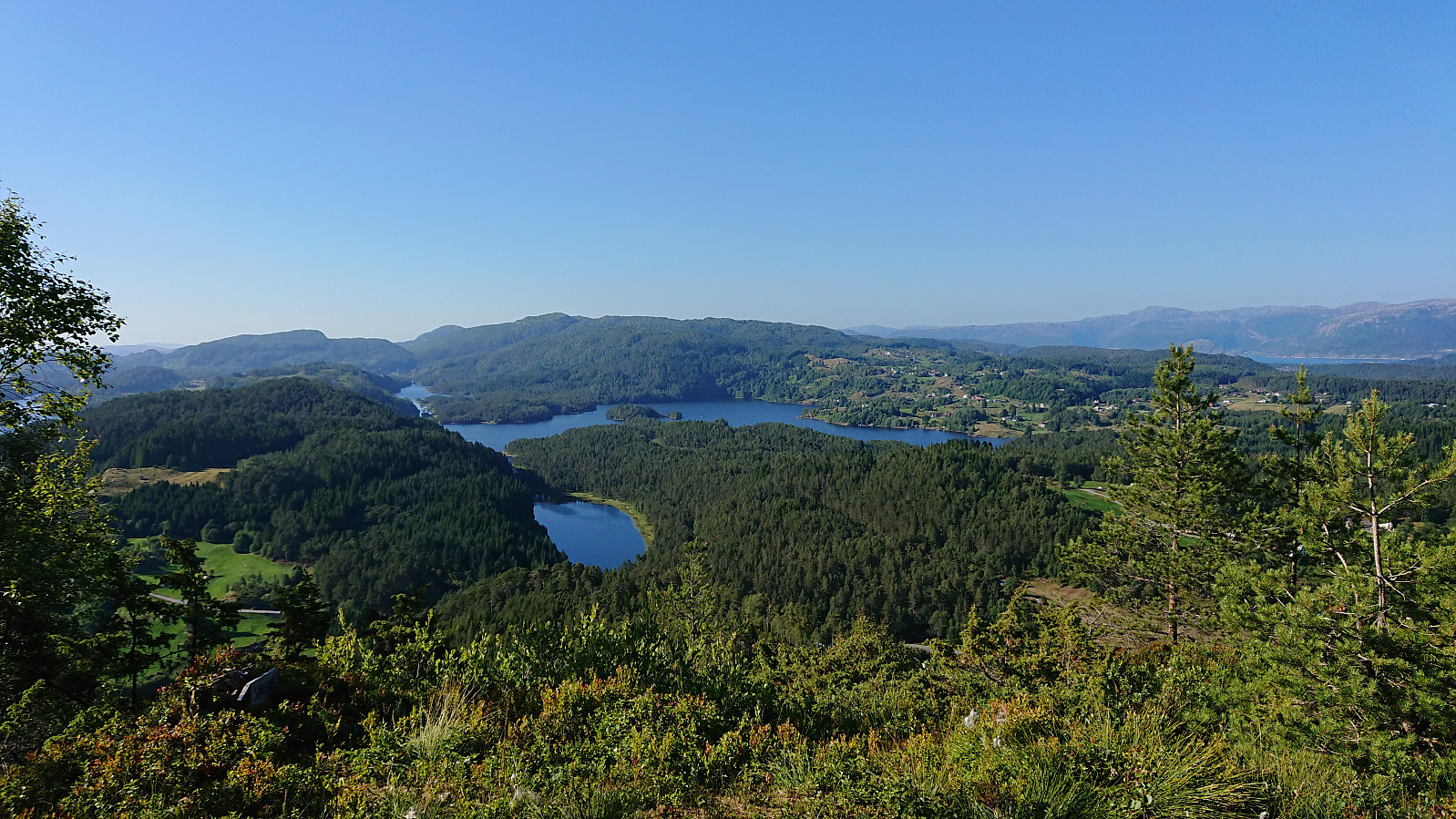
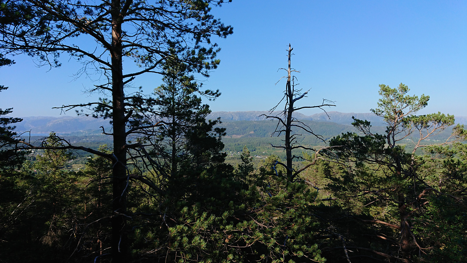
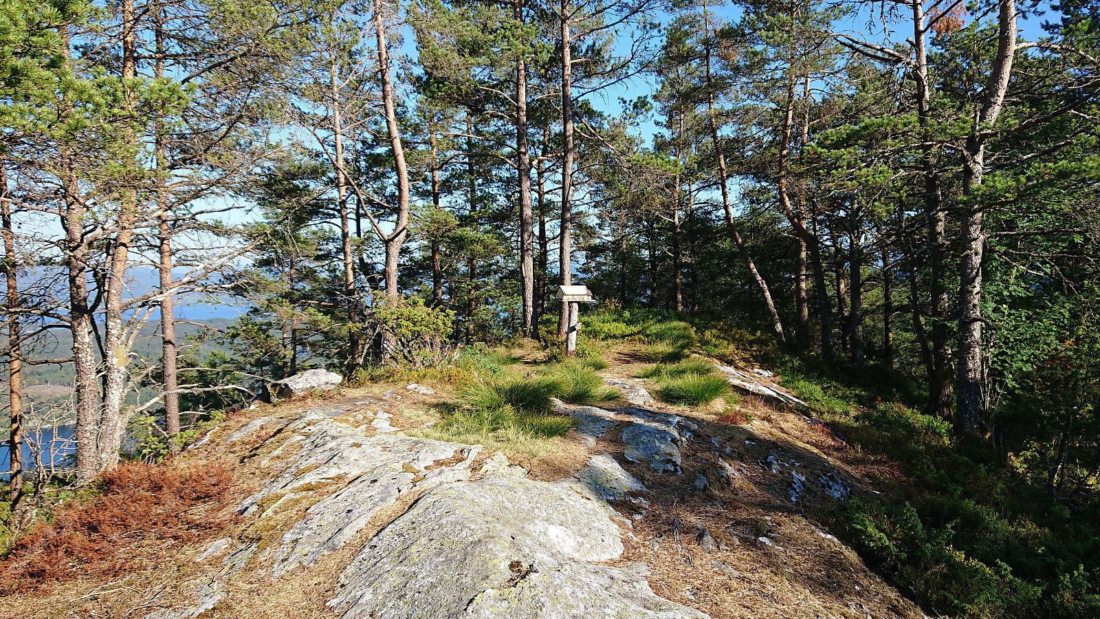
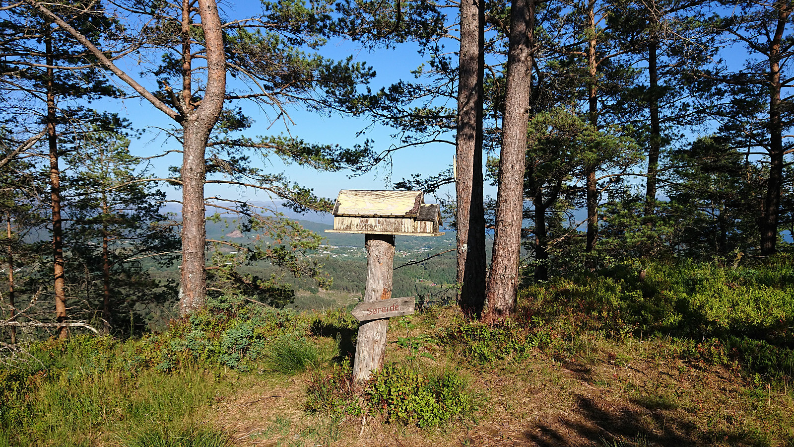
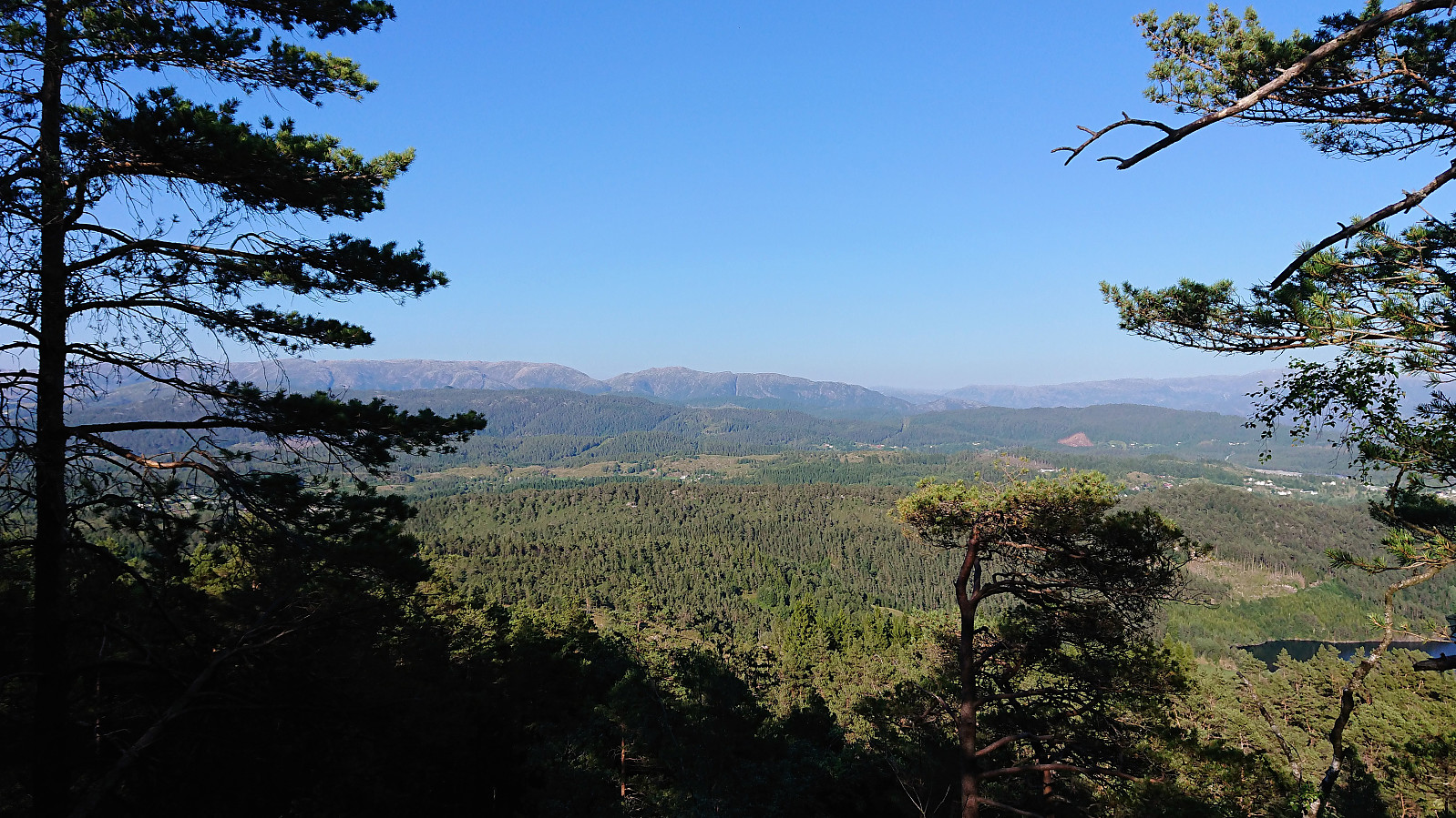
Upon reaching the northwestern tip of the ridge, there was a marked viewpoint with nice views towards the north. The marked trail continued southeast towards the summit, now marked with wooden sticks. At the summit of Jerfjellet the views were very limited and the trig marker had fallen down. Did not stay long before continuing across the ridge.
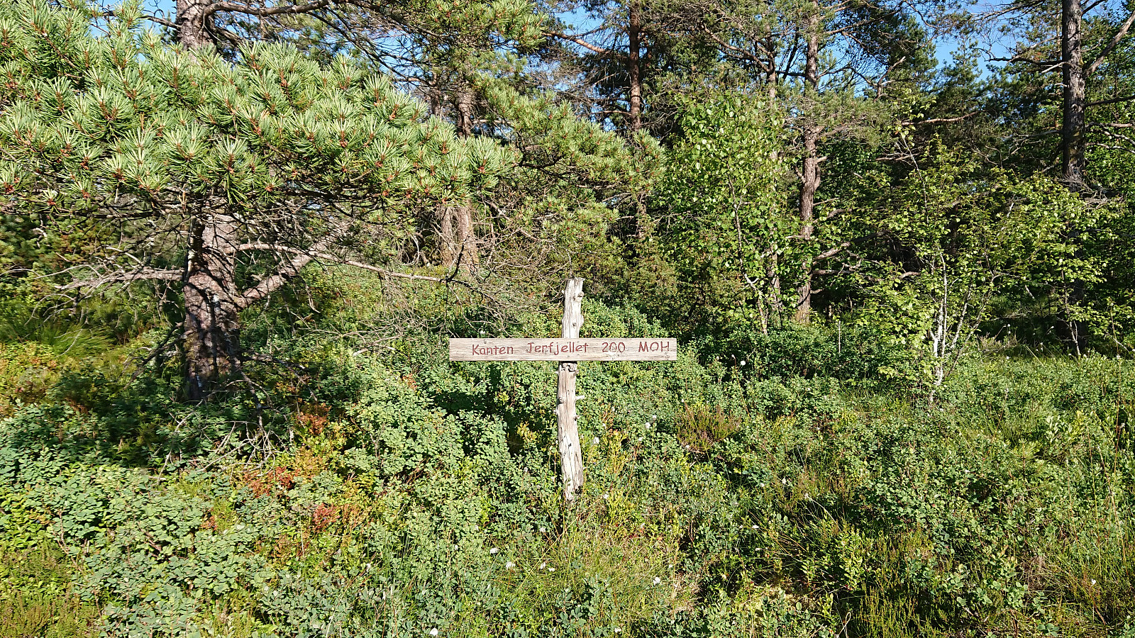
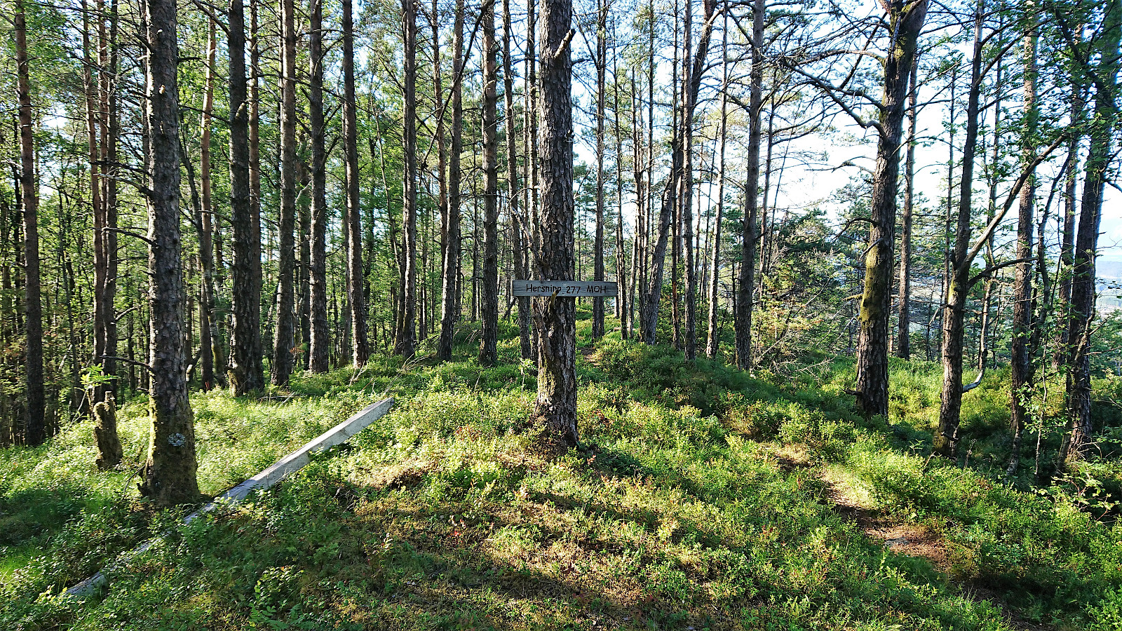
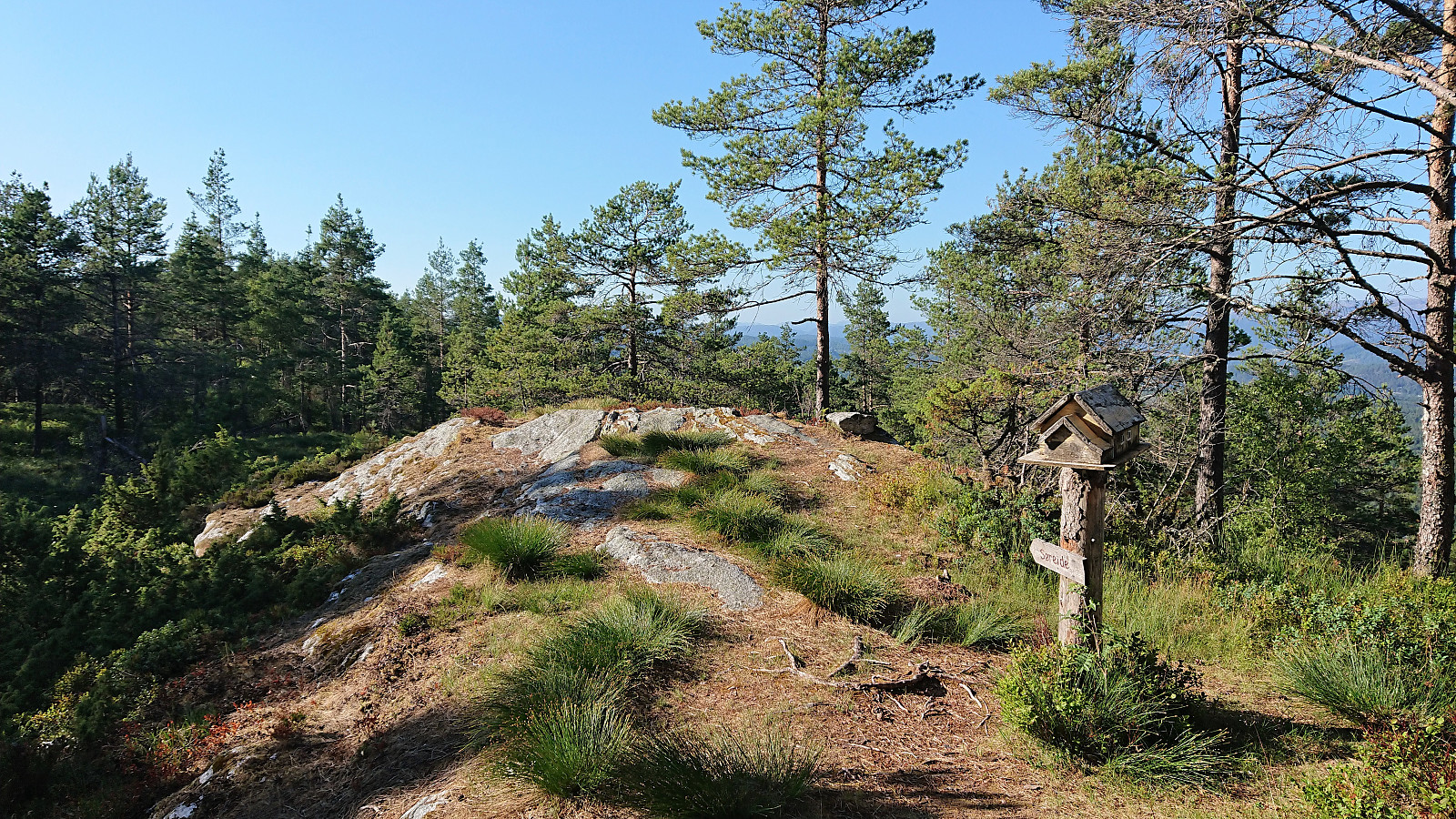
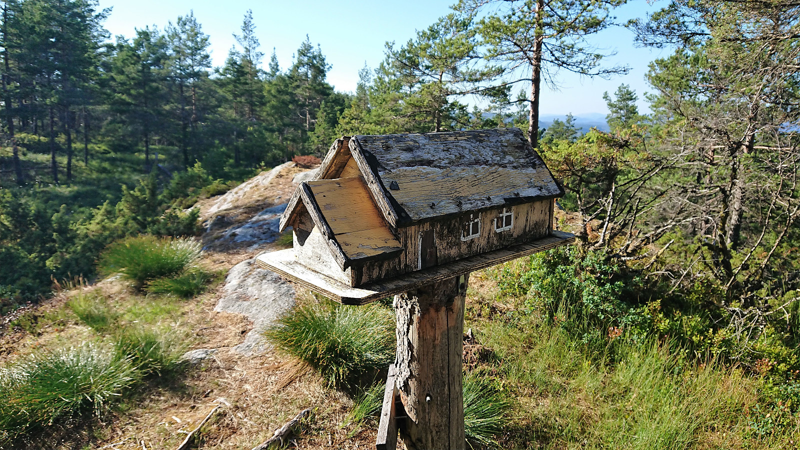
About 200 meters later I came across the unusual container for the visitor register detailed in "Opptur Bergen". Now added as a separate PB-element. Limited views here as well, but slightly better than from the summit.
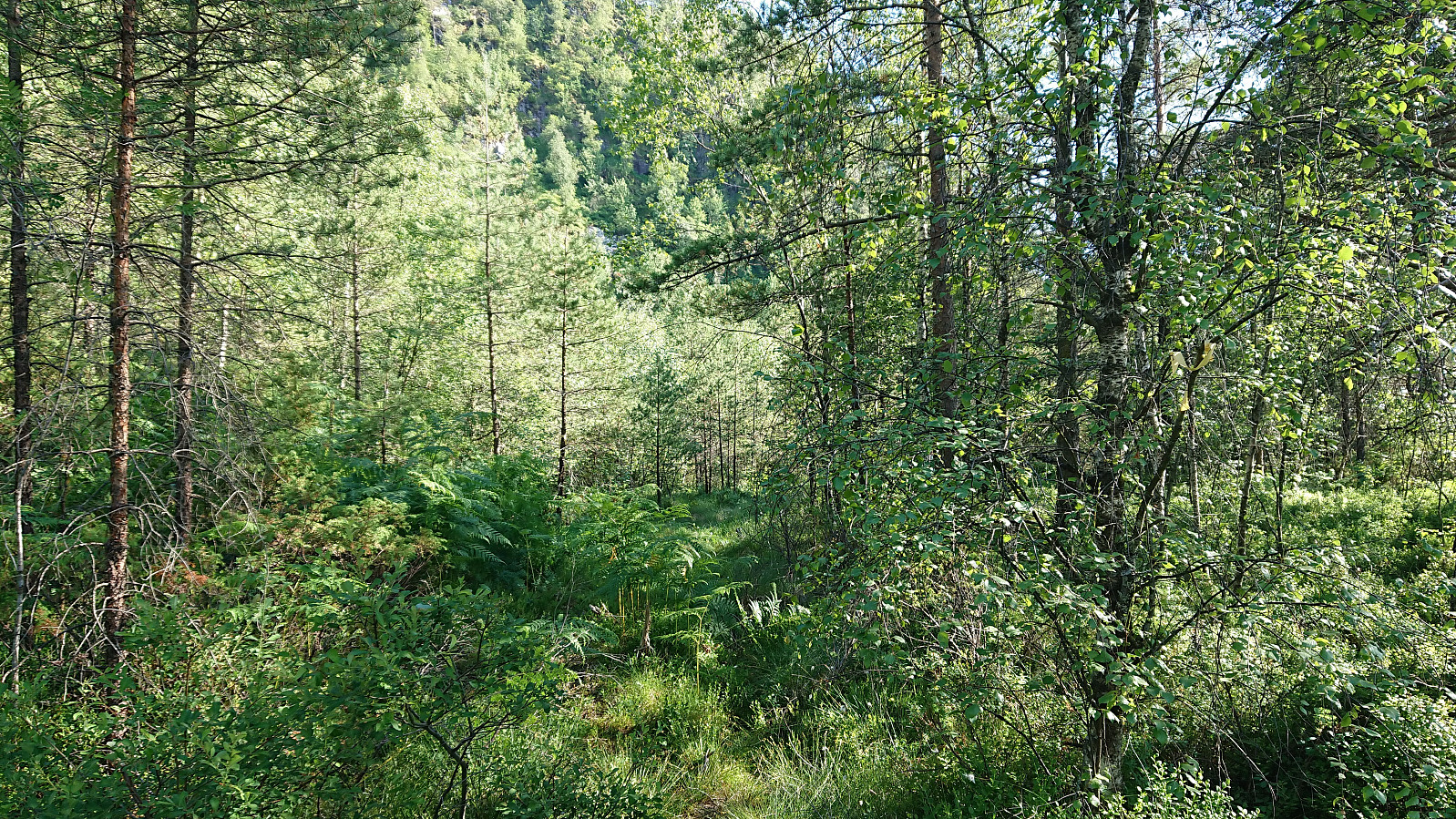
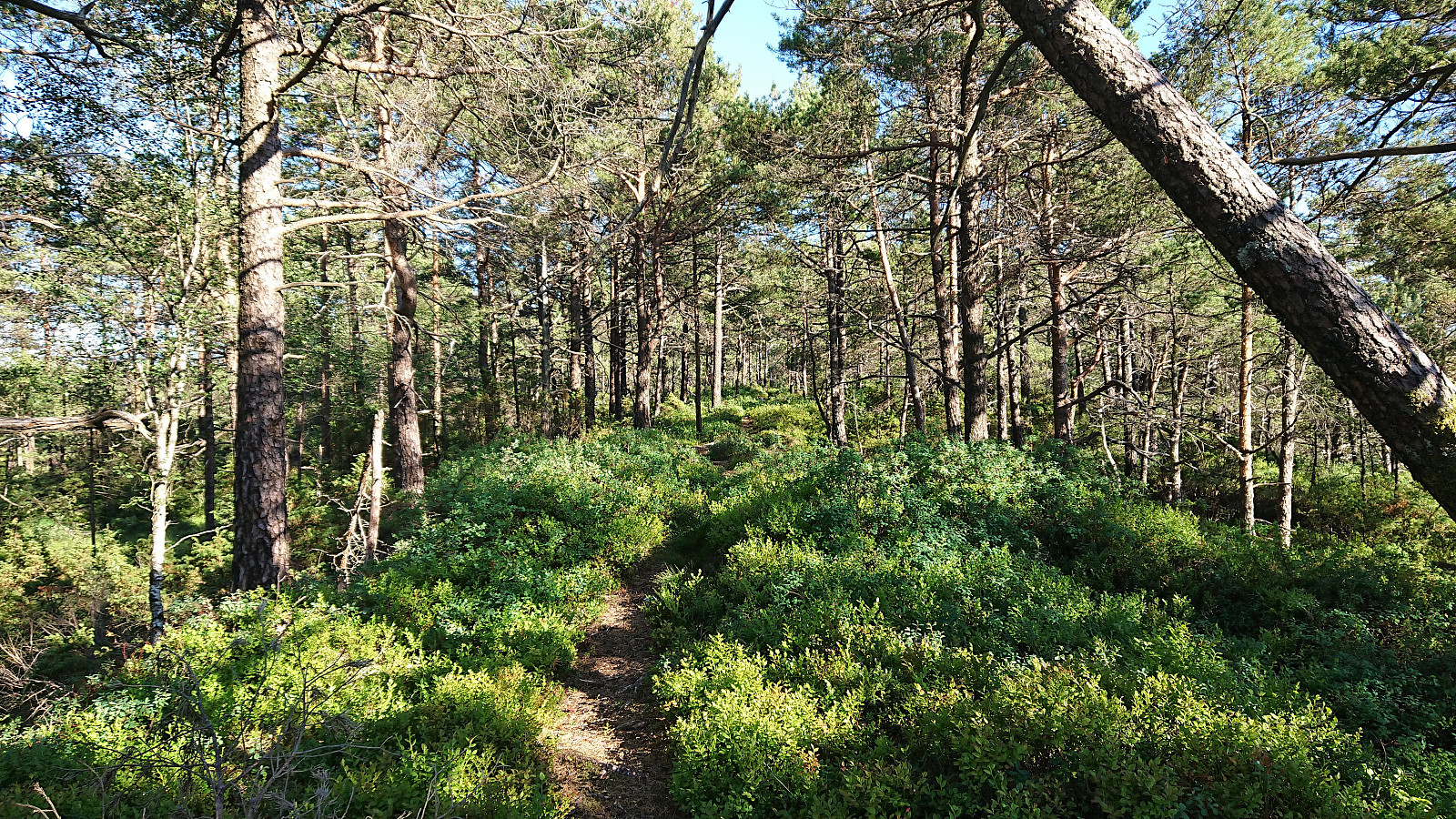
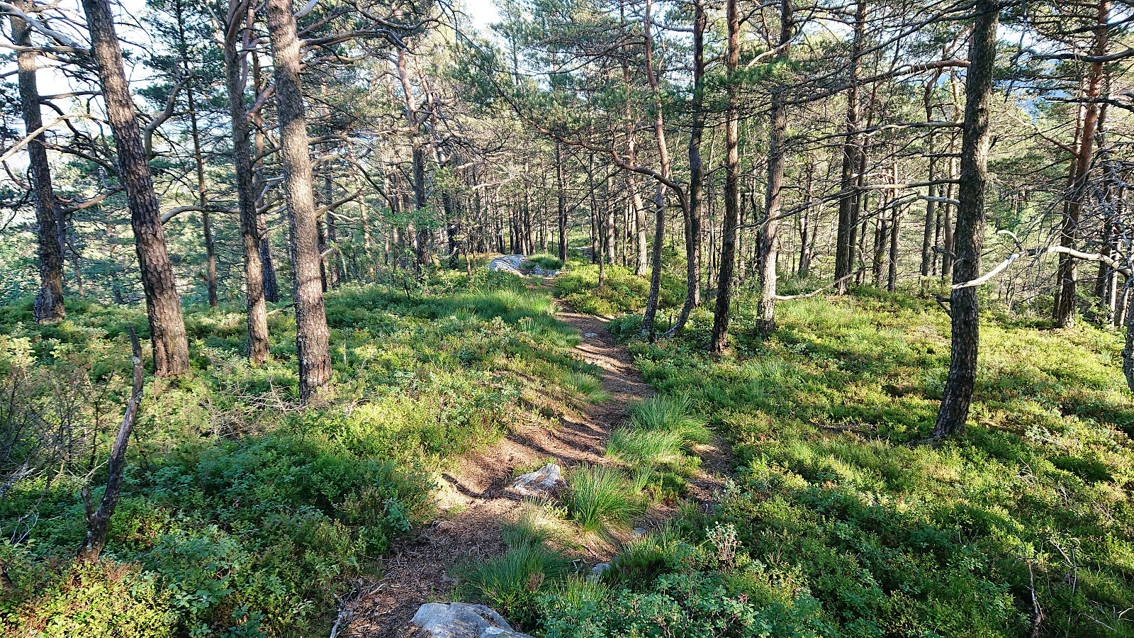
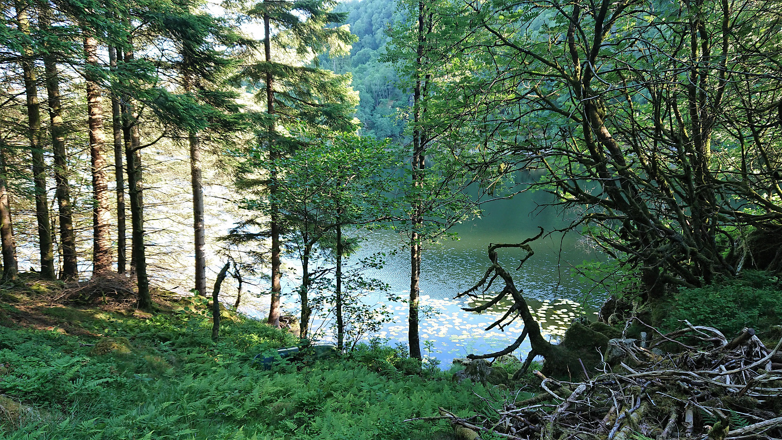
Decided to follow the trail southeast, along what turned out to be the best quality trail of the day. This would bring me just north of Fylingen, from where I planned to follow the tractor road or trail on the east side of Langavanet north to Gausereid. The initial tractor road was easy to locate, but soon changed into a rather weak trail. It could be followed without too much difficulty though.
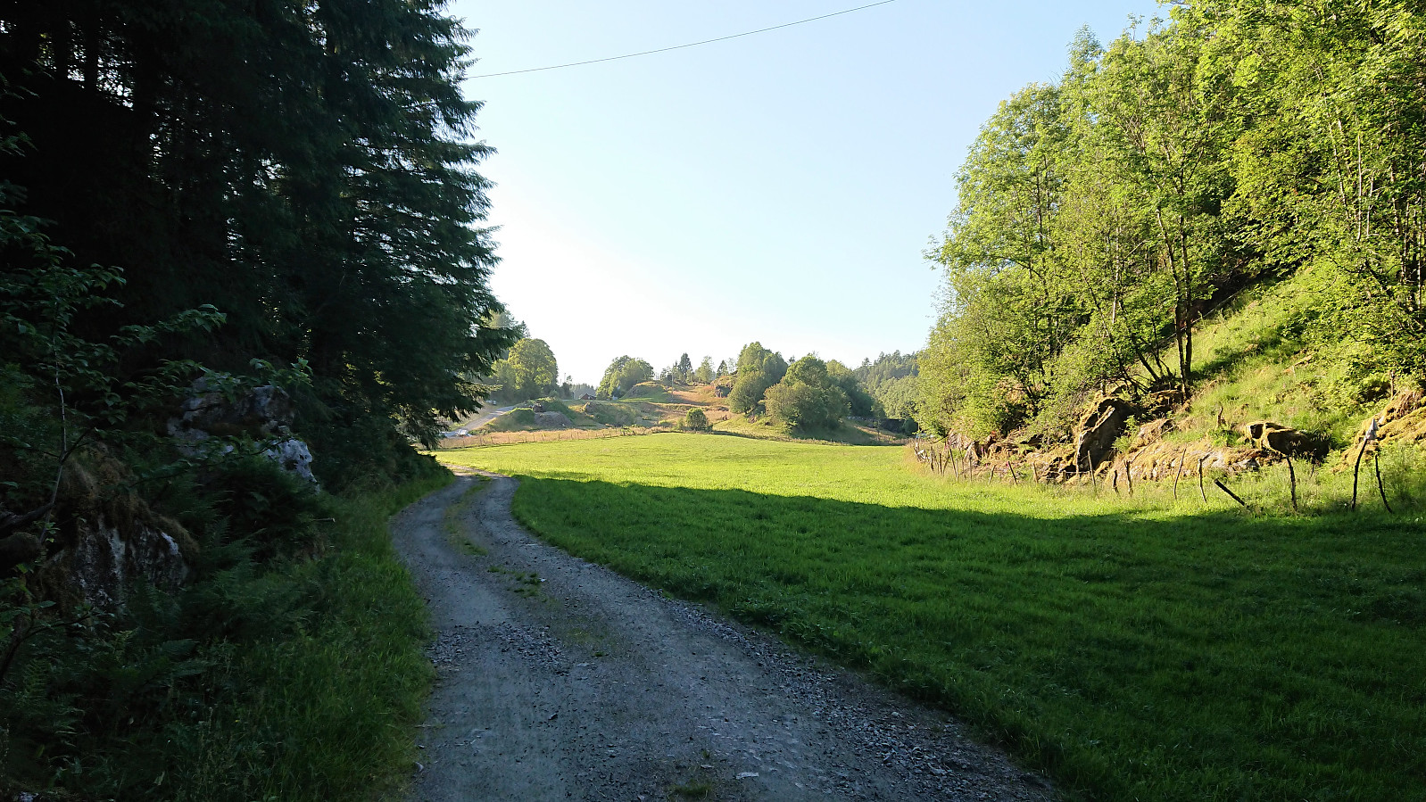
From Gausereid all that remained was to walk along the road back to Furuberget. However, when getting close to the bus stop I had almost an hour to kill until the planned bus. I therefore started walking southwest along the roads via Seim, making it all the way to Sletten, before catching the bus back to Bergen.
In summary, a more enjoyable hike than expected with some very nice views along the way, just not from the summit itself. The descent towards the southeast can definitely be recommended. Ascending from this direction could perhaps also be considered.
| Starttidspunkt | 04.07.2018 17:21 (UTC+01:00 ST) |
| Sluttidspunkt | 04.07.2018 21:23 (UTC+01:00 ST) |
| Totaltid | 4t 02min |
| Bevegelsestid | 3t 55min |
| Pausetid | 0t 6min |
| Snittfart totalt | 4,3km/t |
| Snittfart bevegelsestid | 4,4km/t |
| Distanse | 17,2km |
| Høydemeter | 821m |


Kommentarer