
Elsåsfjellet and Vassberget (03.06.2018)

Skrevet av hbar (Harald Barsnes)

| Startsted | Skare (118moh) |
|---|---|
| Sluttsted | Isdal (72moh) |
| Turtype | Fjelltur |
| Turlengde | 2t 44min |
| Distanse | 9,2km |
| Høydemeter | 469m |
| GPS |
|
| Bestigninger | Elsåsfjellet (243moh) | 03.06.2018 |
|---|---|---|
| Vassberget (288moh) | 03.06.2018 |
Elsåsfjellet and Vassberget
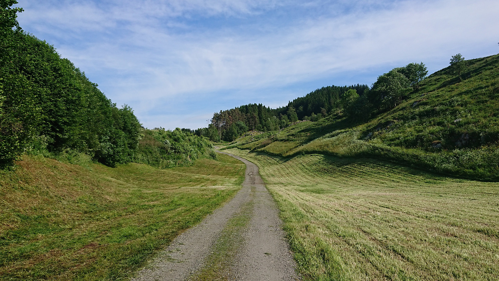
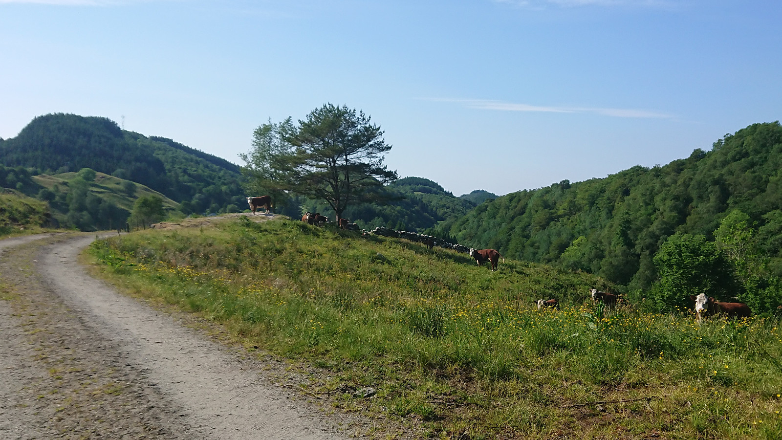

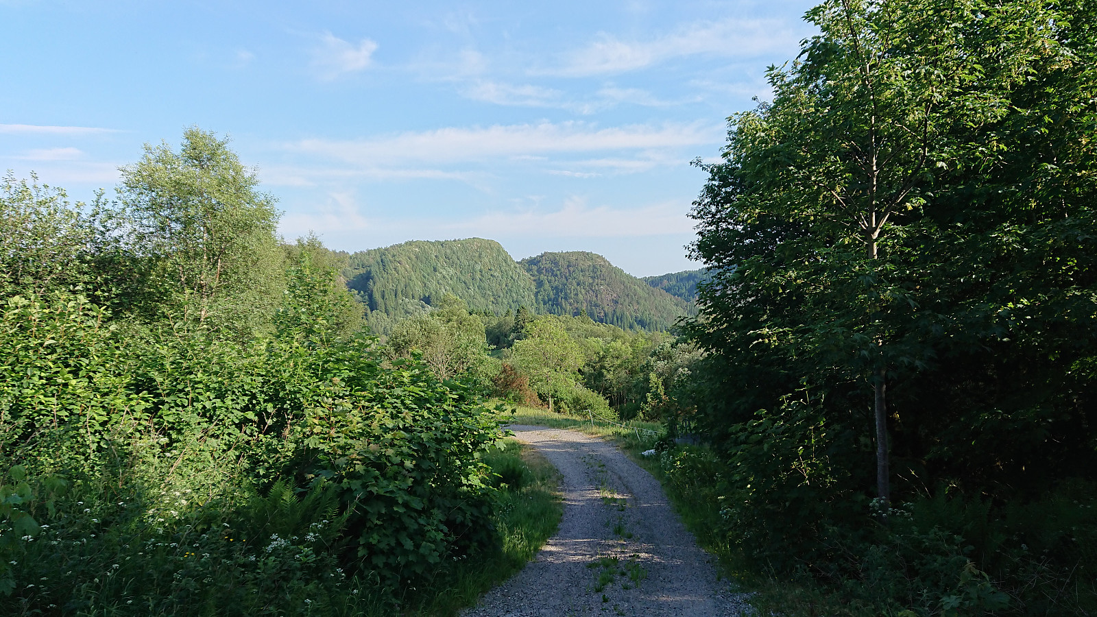
Given that Elsås, and thus Elsåsfjellet, is rather difficult to get to via public transport, I decided to try to starting from Skardet/Skare instead, where the buses are more frequent. And it started easy enough walking southeast along a nice gravel road. Within not too long I however arrived at a closed gate with a rather massive cow staring at me from the other side. After double checking that I was in fact looking at a cow and not a bull (as I could initially only spot one of them), I opened and passed through the gate, ensuring that it was safely closed behind me.
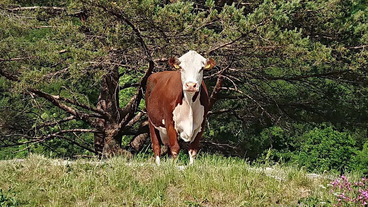
I then noticed up to ten additional cows, but none of them seemed to mind me as I continued up the gravel road. Just before reaching the end of the gravel road I came across another cow, this one all on its own at the side of the road. Again, I could pass without disturbing it, but seeing these large animals up close did add a bit of extra spice to the start of the hike. Especially the last one, as I had assumed that I had left them all behind at the gate.
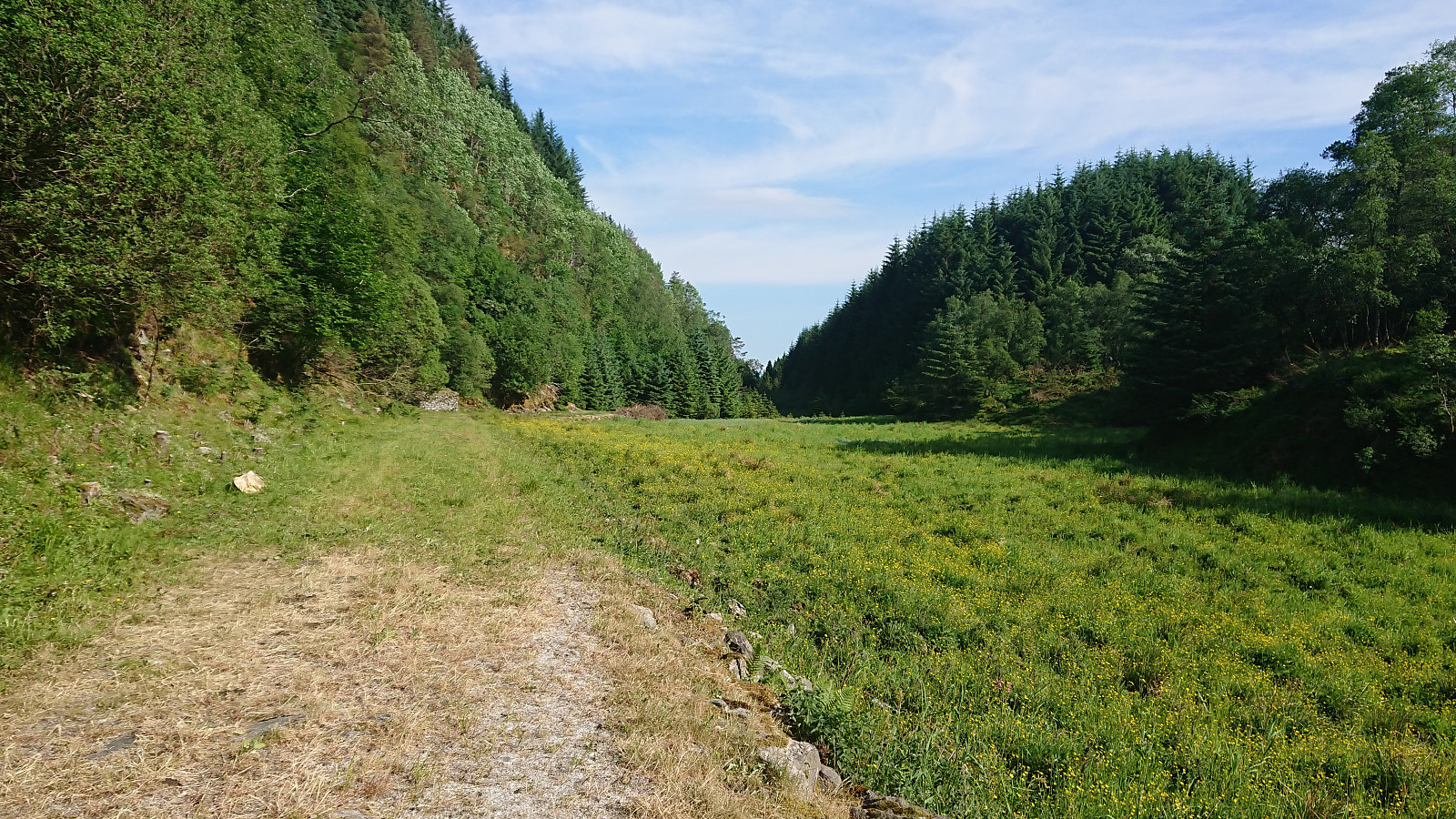
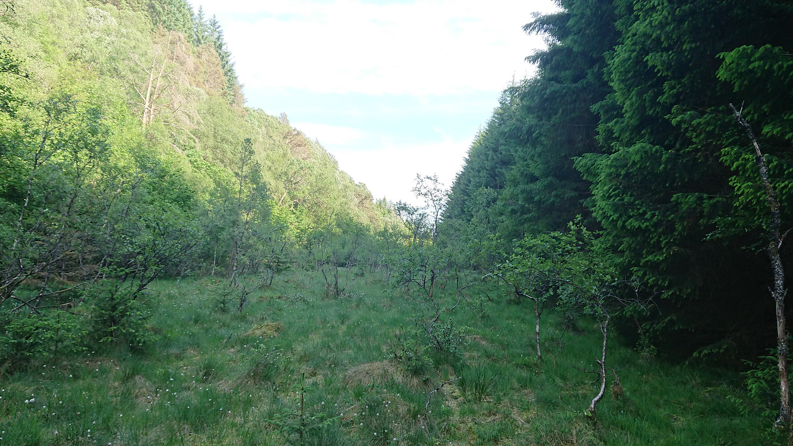
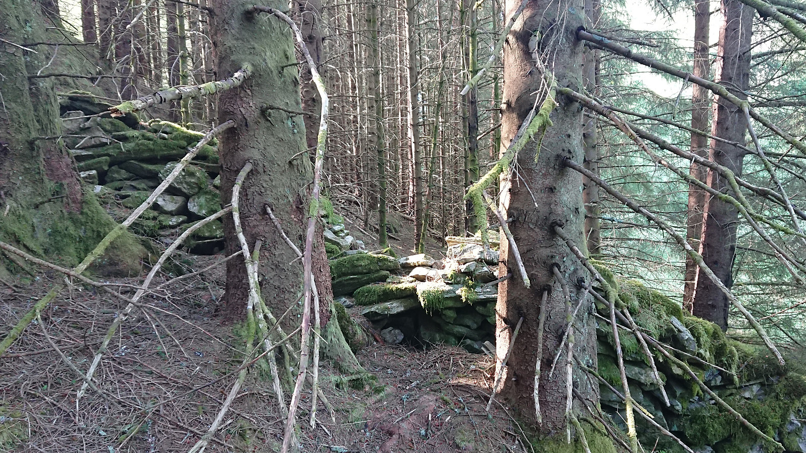
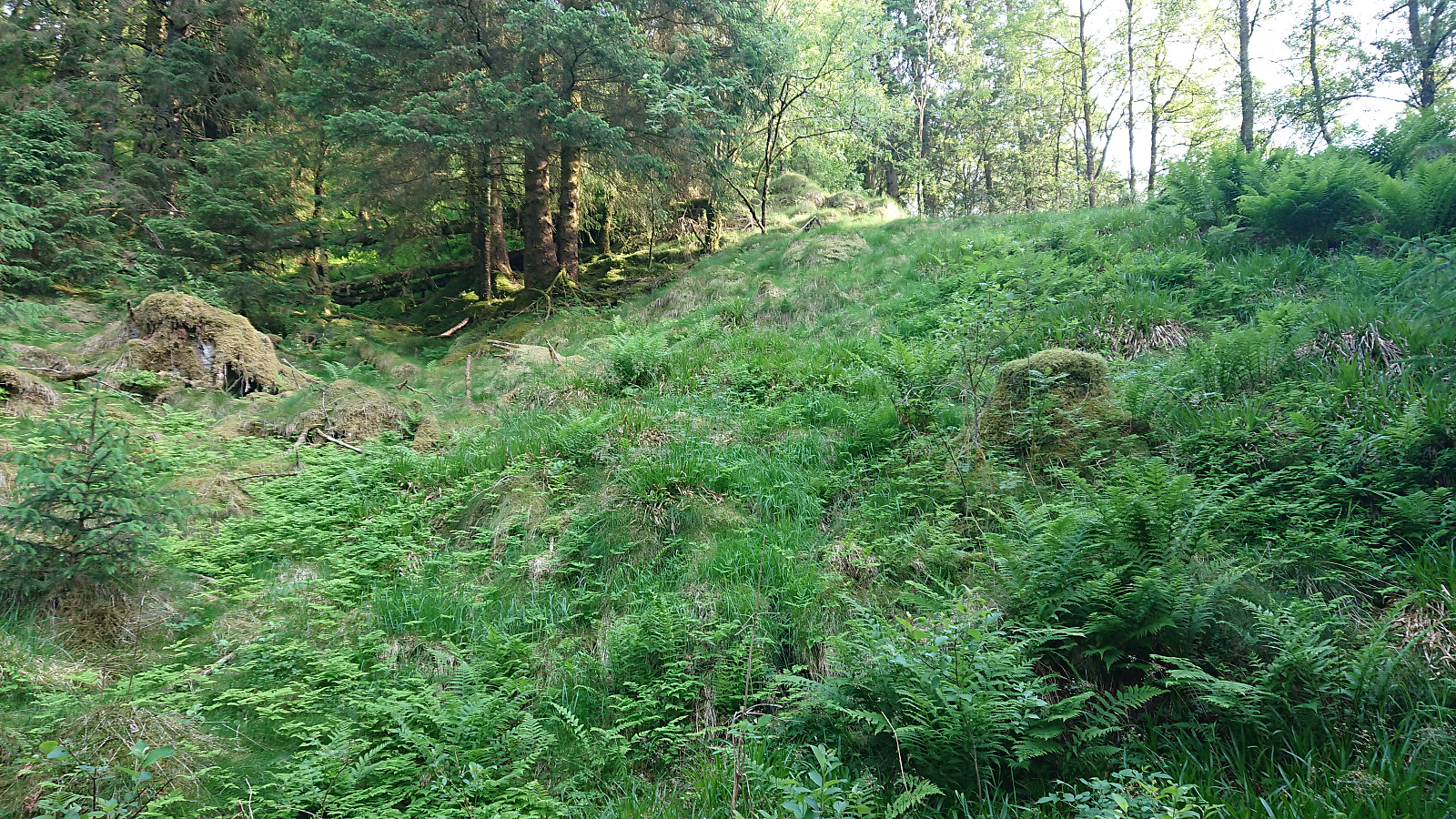
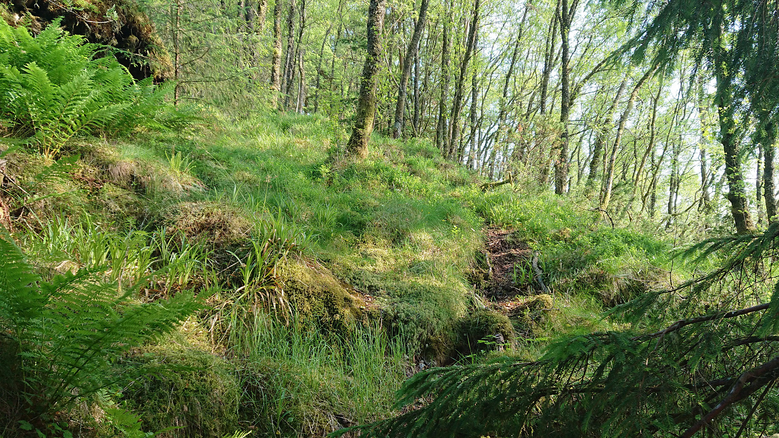
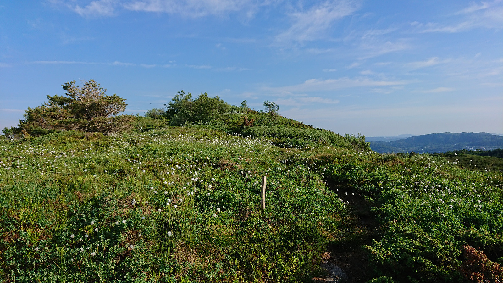
As the terrain leveled off, the road also came to an end, being replaced by an extended wet area, which thankfully was quite dry after weeks of little to no rain. I continued southeast on the west side of the wet area, inside a semi-dense and dry forest, before crossing a low stone fence and starting to make my own way towards the summit, partially following various deer tracks.
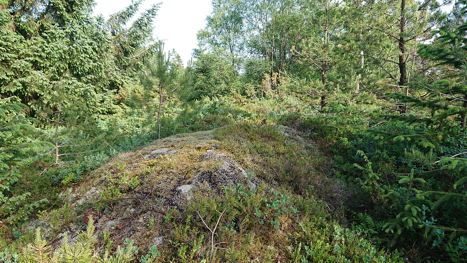
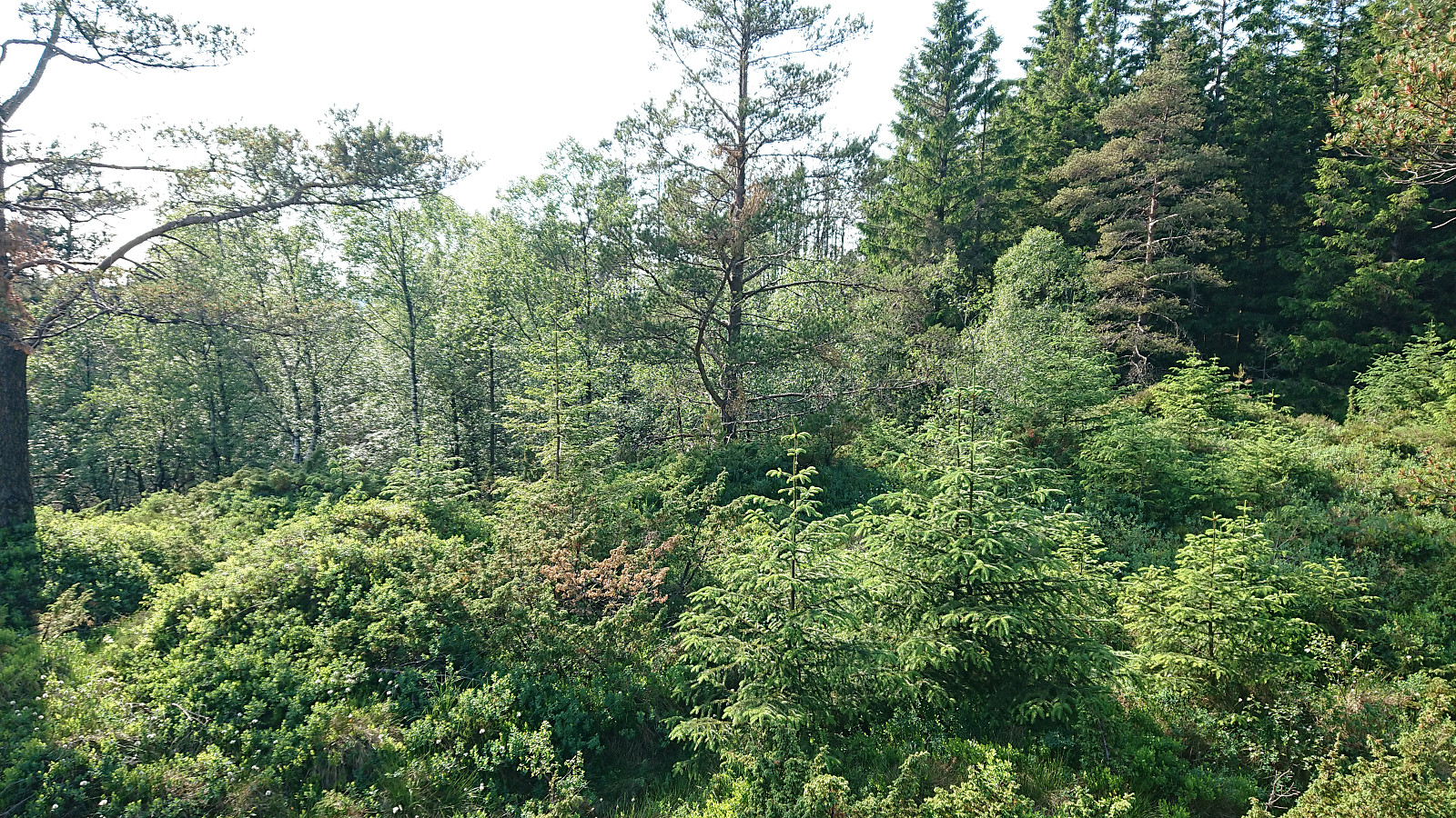
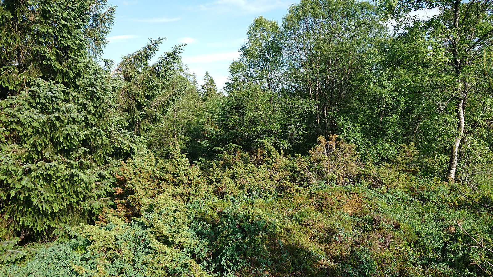
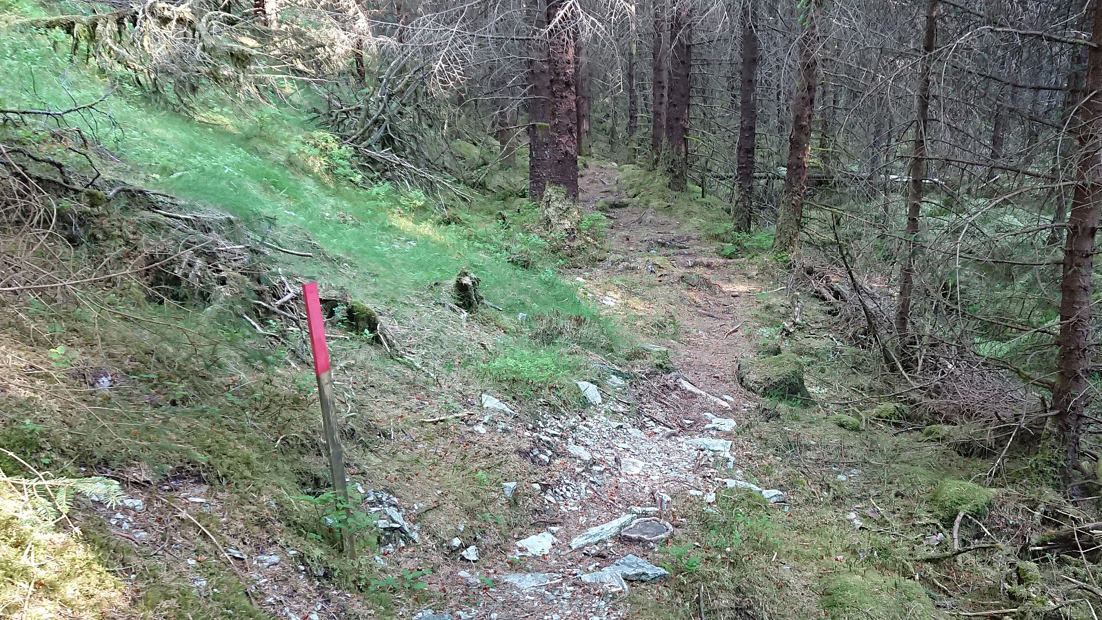
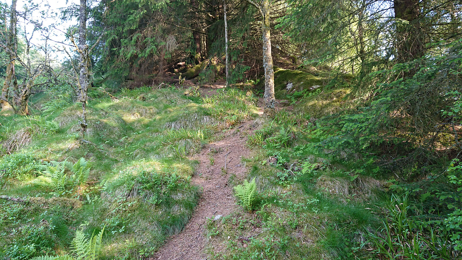
The terrain was relatively open and I quickly reached the summit area, arriving at the remains of the trig marker first, before continuing the few meters to the visitor register, which was basically all this peak provided, as the views were very limited due to all the trees. Did not stay long before locating the trail down to Elsås, which was marked, but clearly not very heavily used.
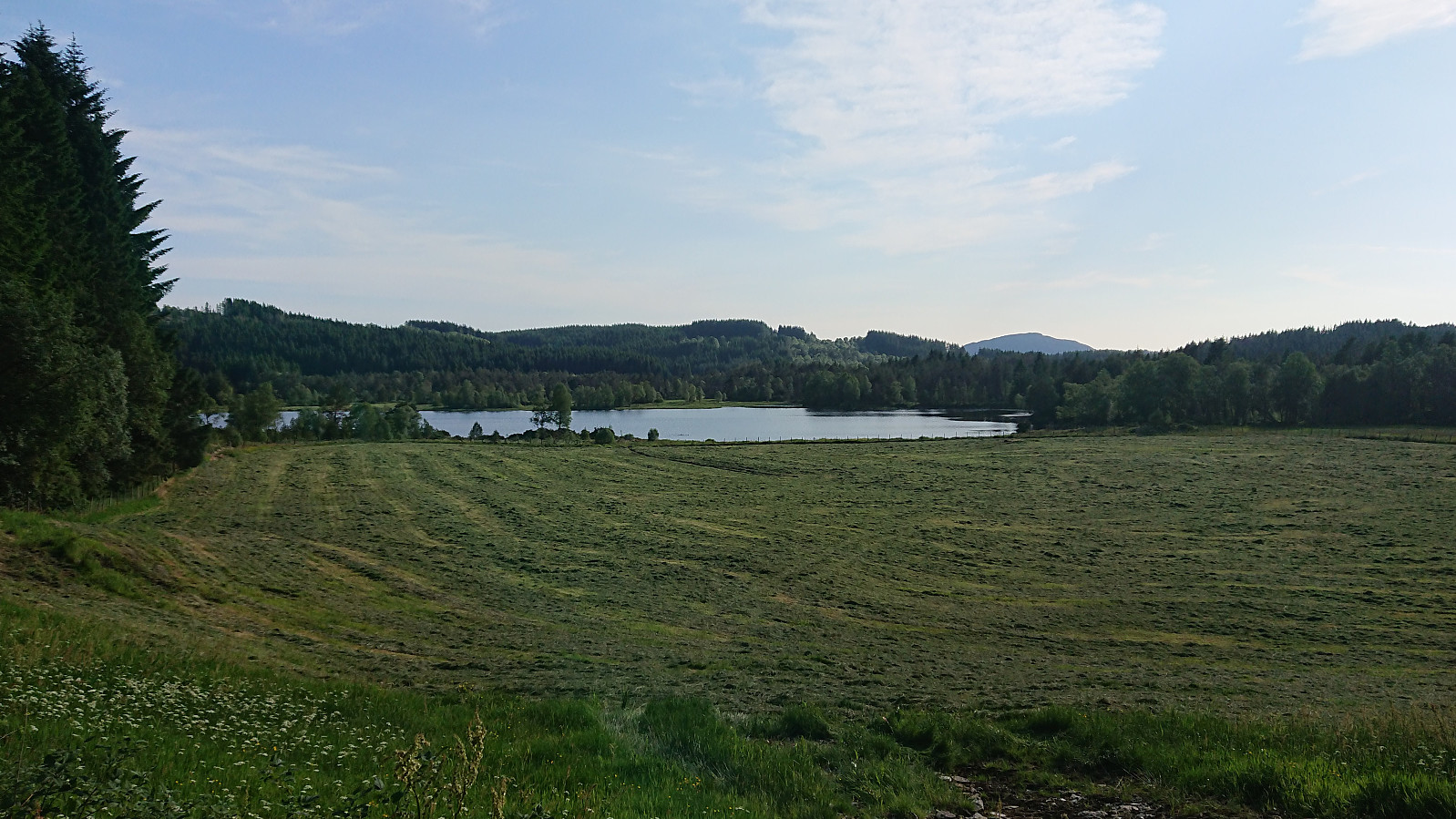
Upon reaching the road at Elsås, I initially made a wrong turn heading north, but quickly corrected this and turned south towards Storavatnet, as my plan was to now head via Vassberget on the way to the main road north of Isdal. The gravel road ended at the large field northeast of Storavatnet, where it turned into a tractor road ascending towards Vassberget.
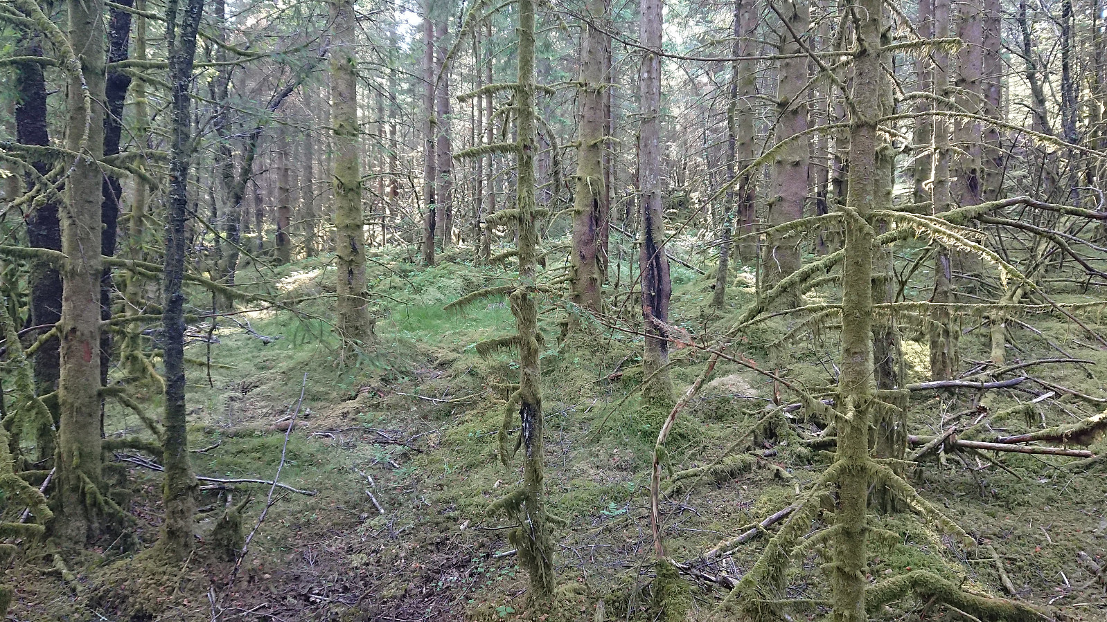
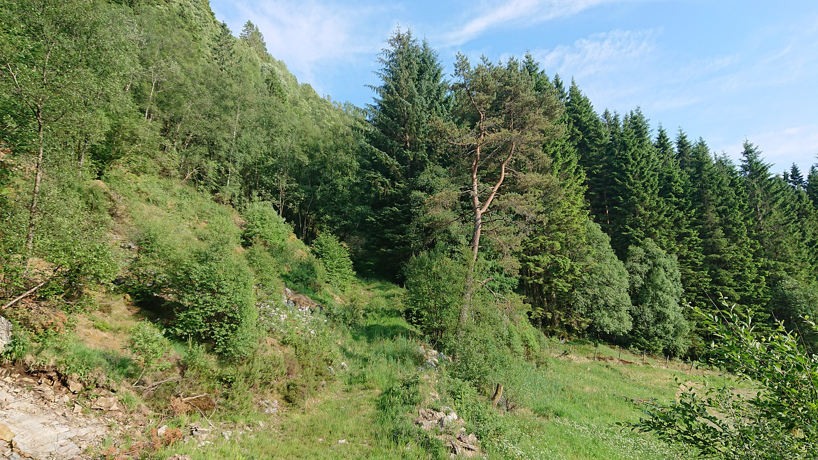
But where the tractor road ended I could not locate a continuing trail (and indeed on the map there is a gap between the tractor road and the trail). I therefore had to make my own way, although there were some deer tracks to guide me, until shortly connecting with a proper trail coming up from the west (I could not see where this trail started and it is not indicated on the map). From there on it was straightforward to follow the trail to the summit.
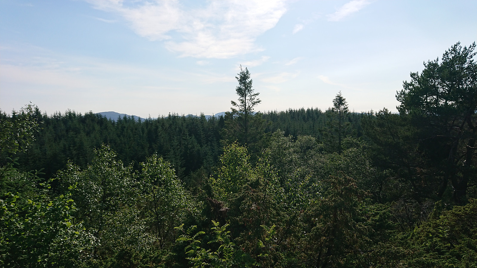
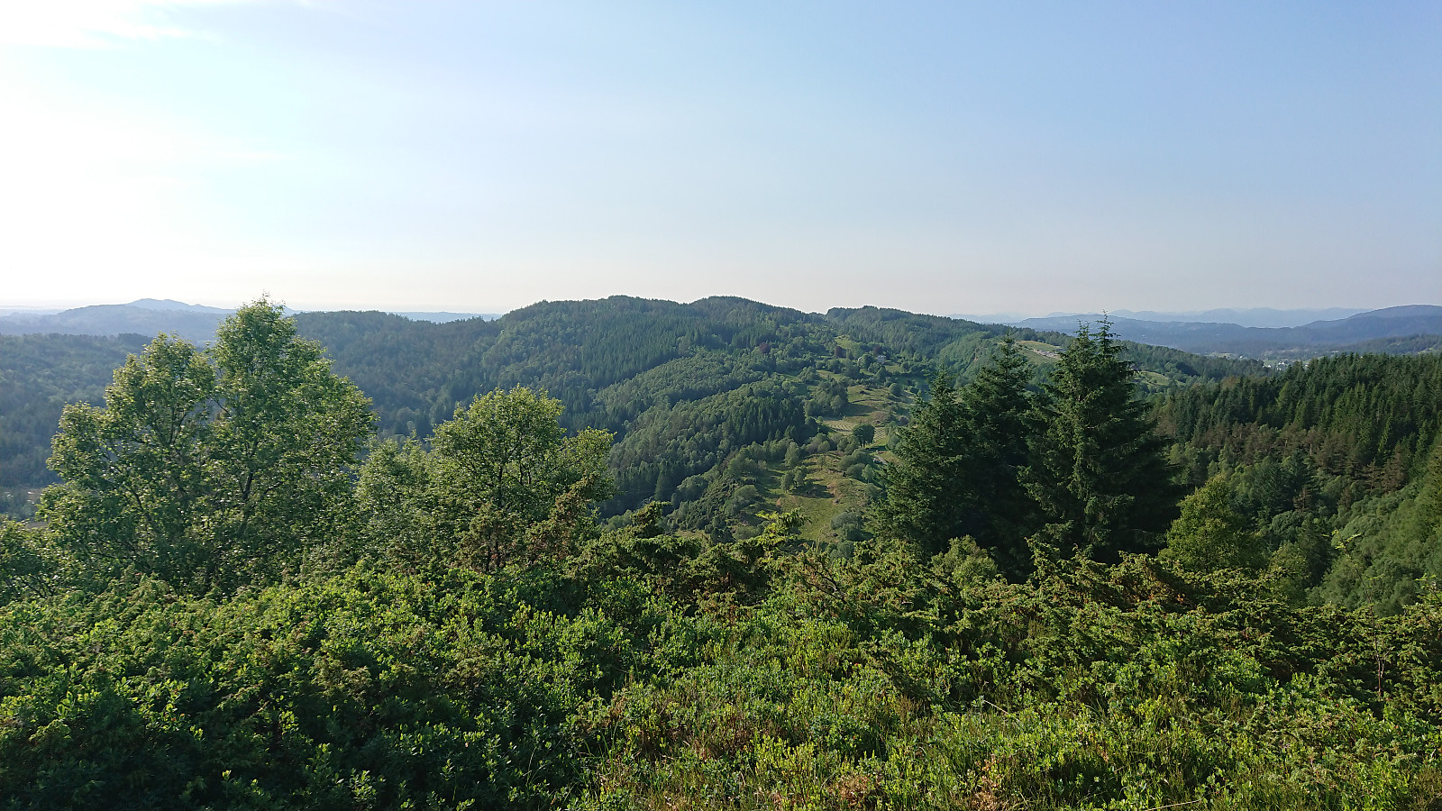
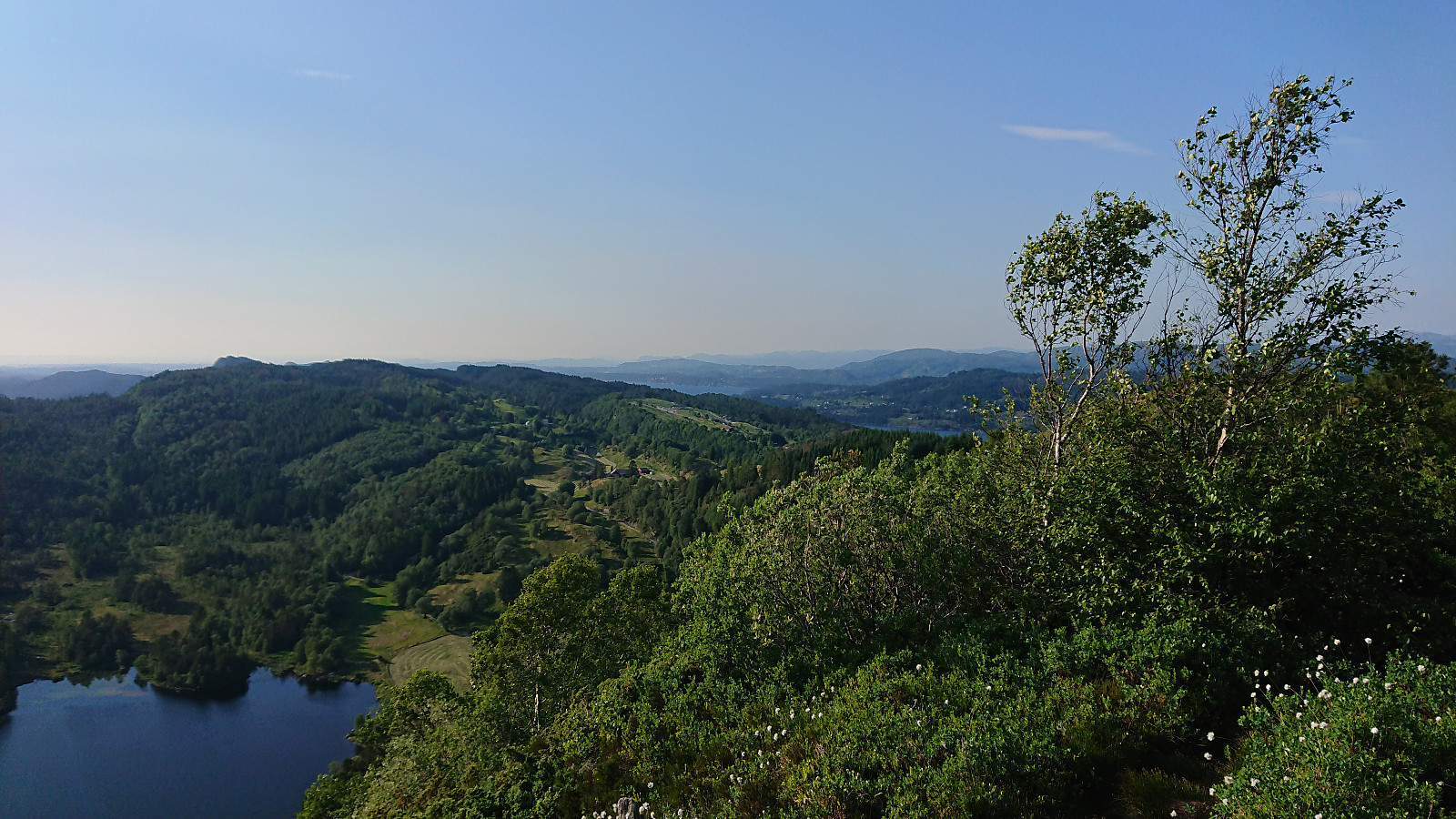
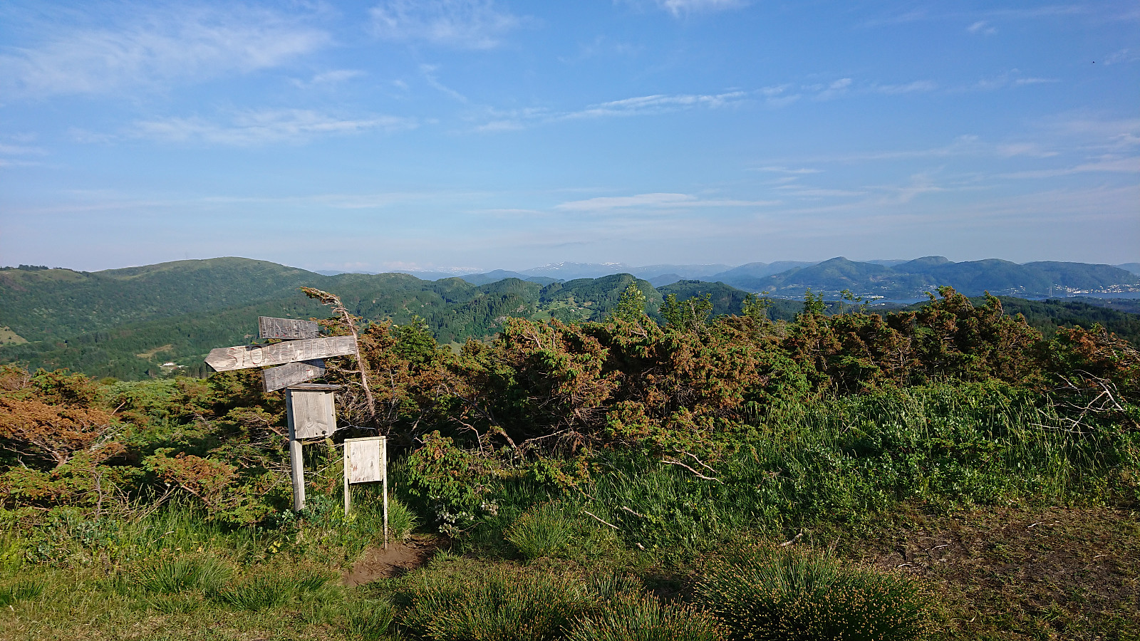
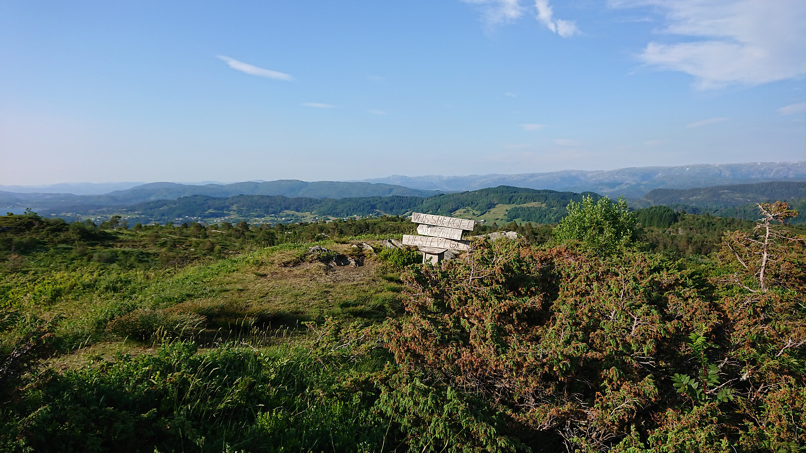
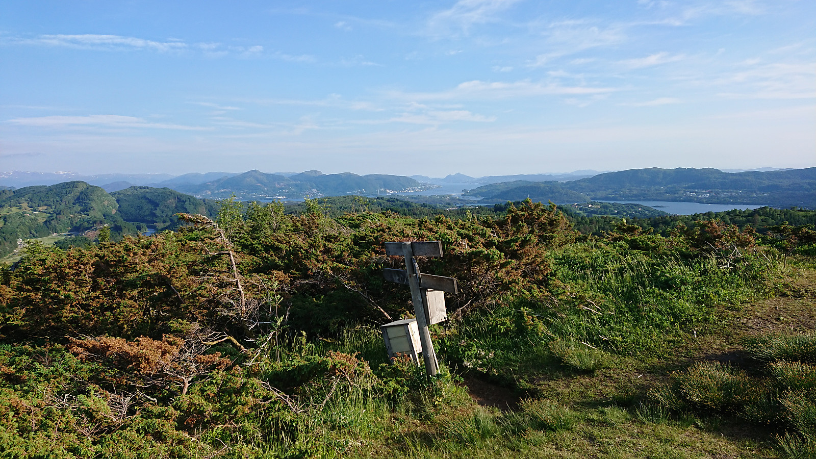
Vassberget provided excellent views as always, and the trails, both up and down, where much better than usual given the recent dry weather. From the summit, I followed the standard trail back to the main road for the bus back to Bergen.
In conclusion, this alternative route to Elsåsfjellet cannot be recommended. In fact, Elsåsfjellet overall cannot be recommended. Due to the very limited views, a visit is most likely only of interest to those of us collecting peaks. The alternative route to Vassberget was however more successful, and something I would not mind repeating.

| Starttidspunkt | 03.06.2018 17:21 (UTC+01:00 ST) |
| Sluttidspunkt | 03.06.2018 20:05 (UTC+01:00 ST) |
| Totaltid | 2t 44min |
| Bevegelsestid | 2t 30min |
| Pausetid | 0t 13min |
| Snittfart totalt | 3,4km/t |
| Snittfart bevegelsestid | 3,7km/t |
| Distanse | 9,2km |
| Høydemeter | 469m |


Kommentarer