
Skausnøya, Fjellsbøheia, Selifjellet and Grimstadfjellet (13.05.2018)

Written by hbar (Harald Barsnes)

| Start point | Våge (31m) |
|---|---|
| Endpoint | Konglevoll (49m) |
| Characteristic | Hillwalk |
| Duration | 5h 23min |
| Distance | 15.2km |
| Vertical meters | 878m |
| GPS |
|
| Ascents | Eggena (314m) | 13.05.2018 |
|---|---|---|
| Fjellsbøheia (364m) | 13.05.2018 | |
| Grimstadfjellet (276m) | 13.05.2018 | |
| Selifjellet (395m) | 13.05.2018 | |
| Skausnøya (363m) | 13.05.2018 | |
| Visits of other PBEs | Grimstadfjellet trigpunkt (248m) | 13.05.2018 |
Skausnøya, Fjellsbøheia, Selifjellet and Grimstadfjellet
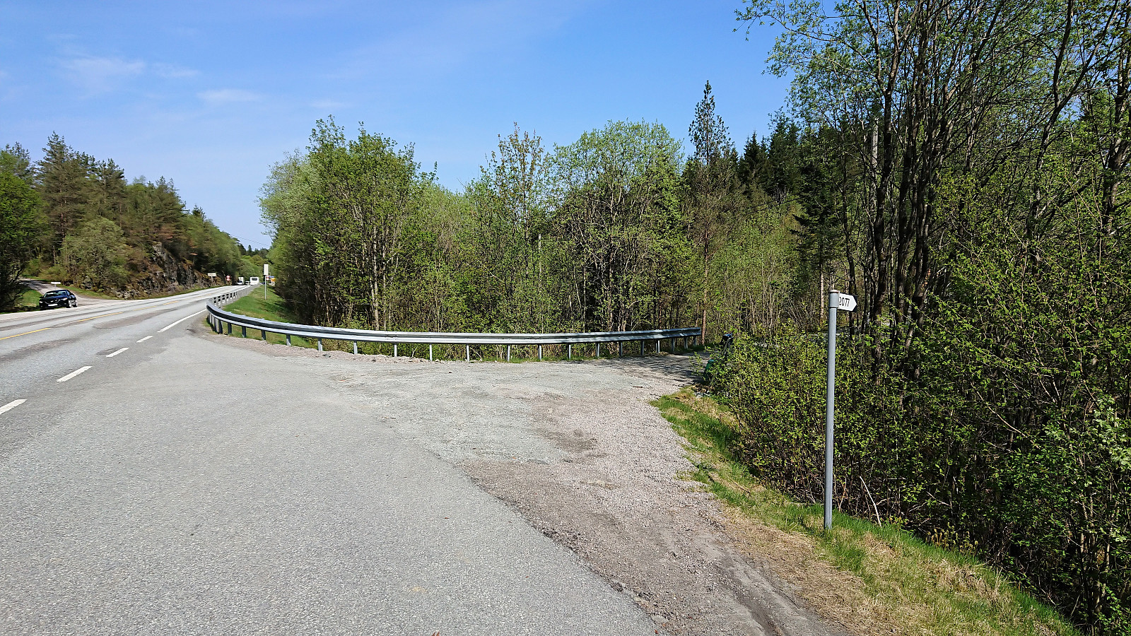
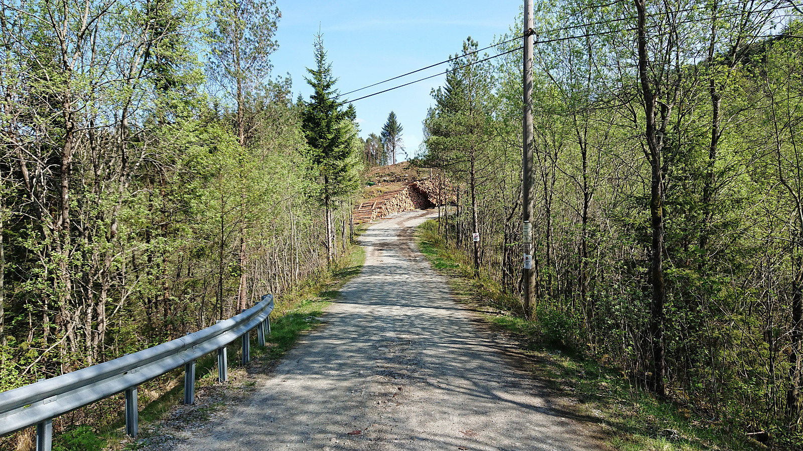
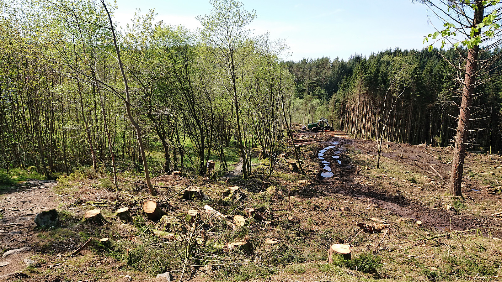


Started by taking the bus to Våge and trying to locate the trailhead for Skausnøya. My path was however immediately blocked by a logging area and huge stacks of logs. As I did not want to enter the backyard of the only house at the end of the short road, and given that I did not know how large the logging area would be, I decided to look for an alternative path, after first looking around for other hikers or locals to ask for directions.
I ended up with a roughly 1 km detour via a tractor road coming down from the north, with half of that distance being along the main road, before finally connecting with the trail. Only to notice that I had been less than 100 meters from where the trail started on the opposite side of the stacked logs. And given that my detour actually took me through the logging area (thankfully it was a Sunday), the preferred route would clearly have been to find the way around the logs.
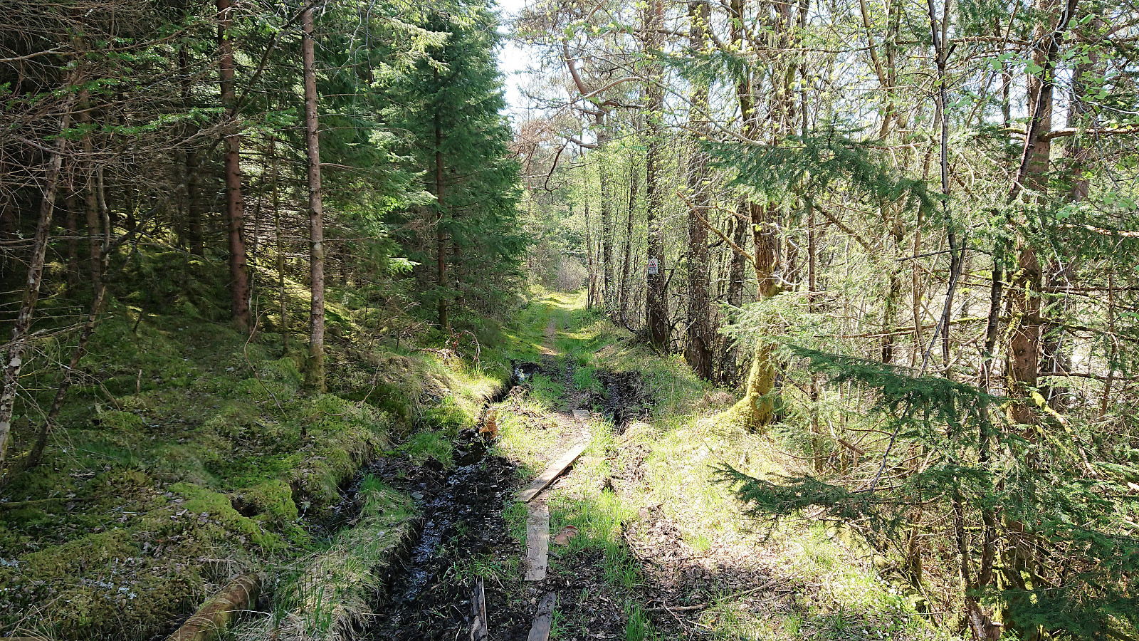
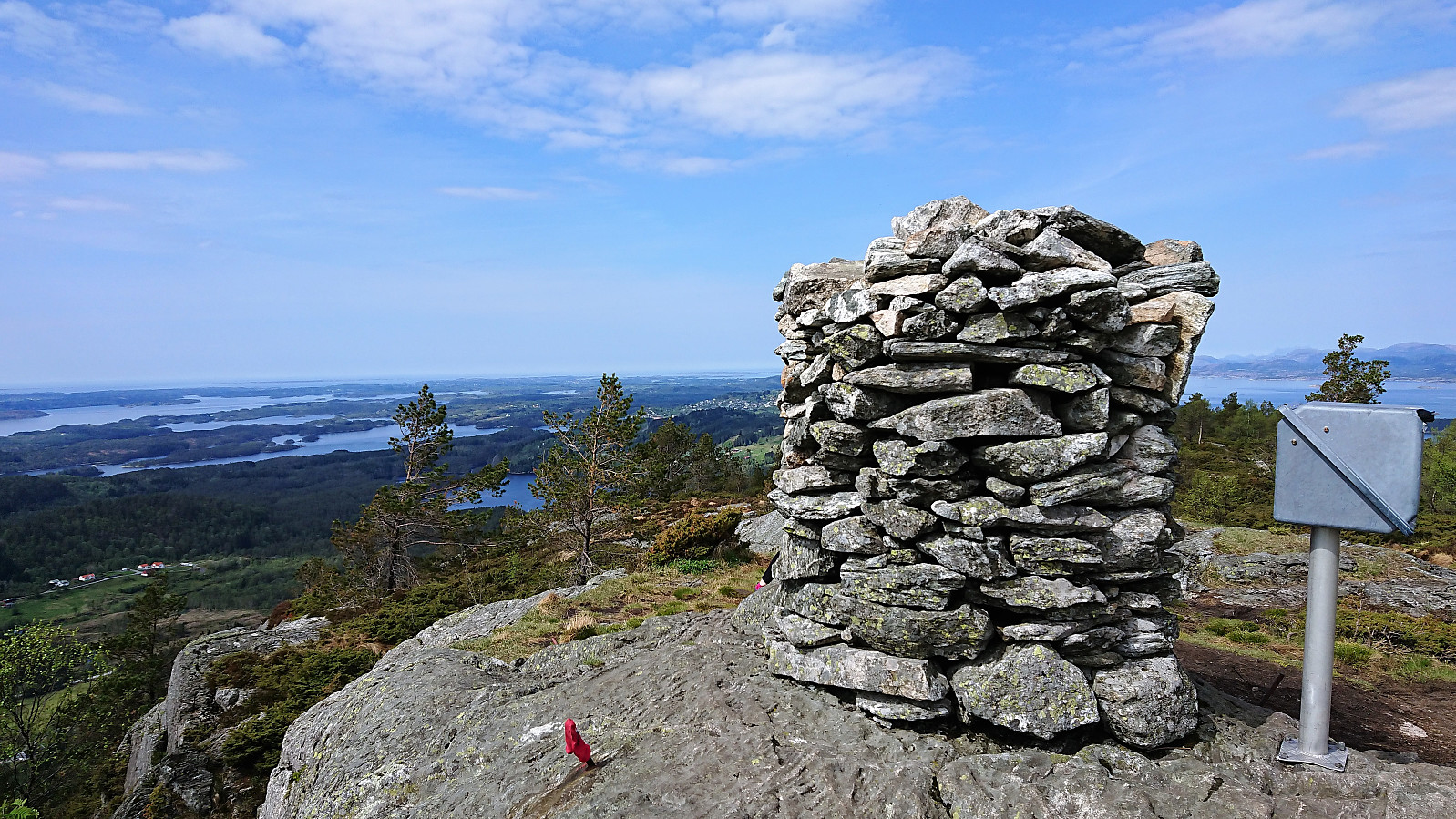
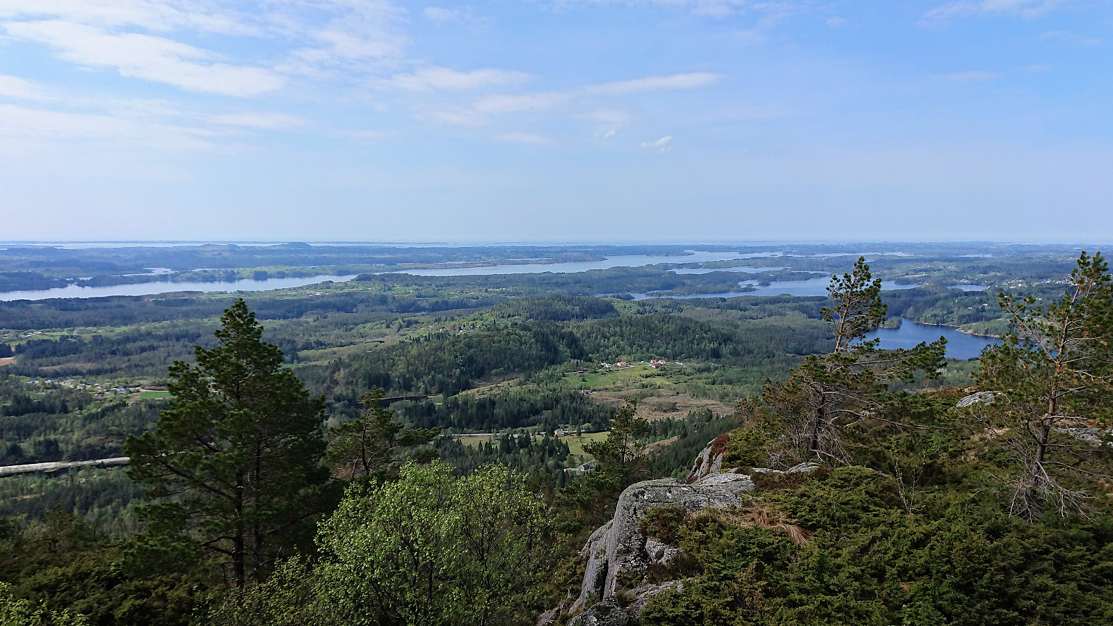
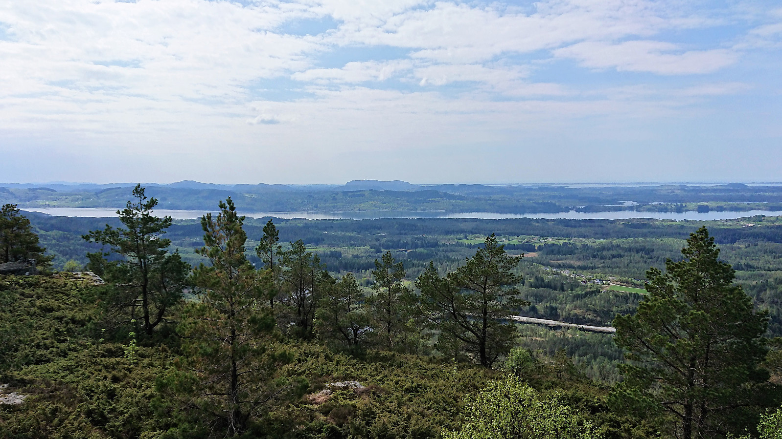
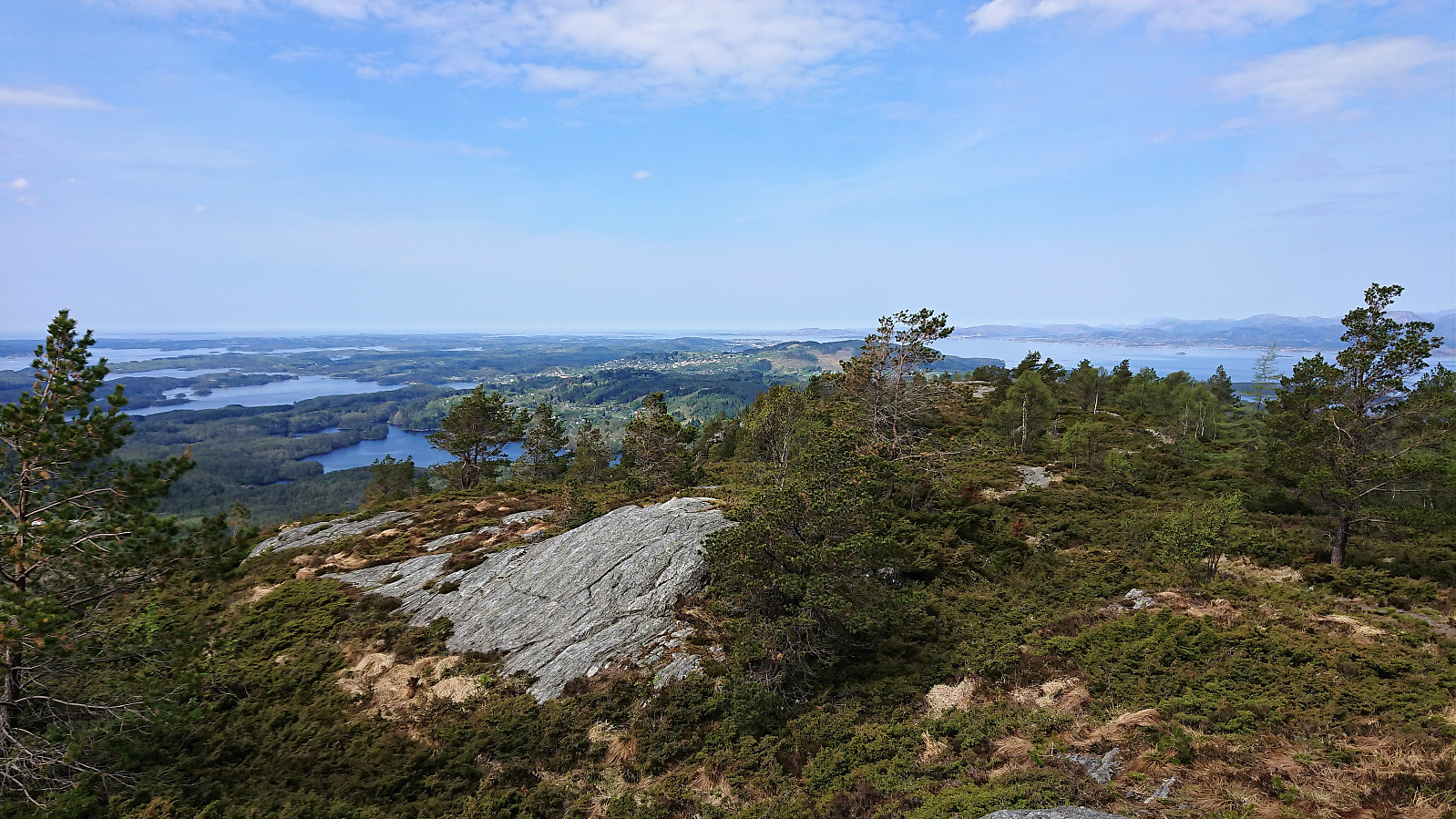
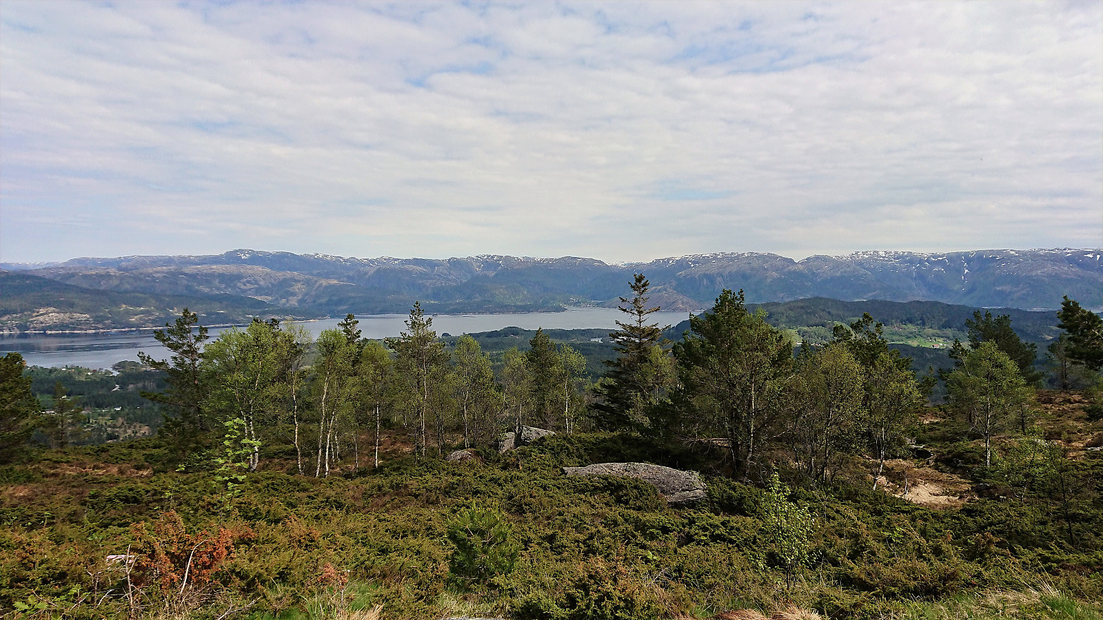
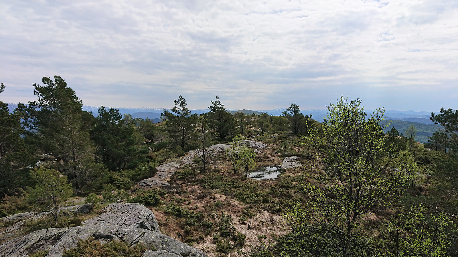
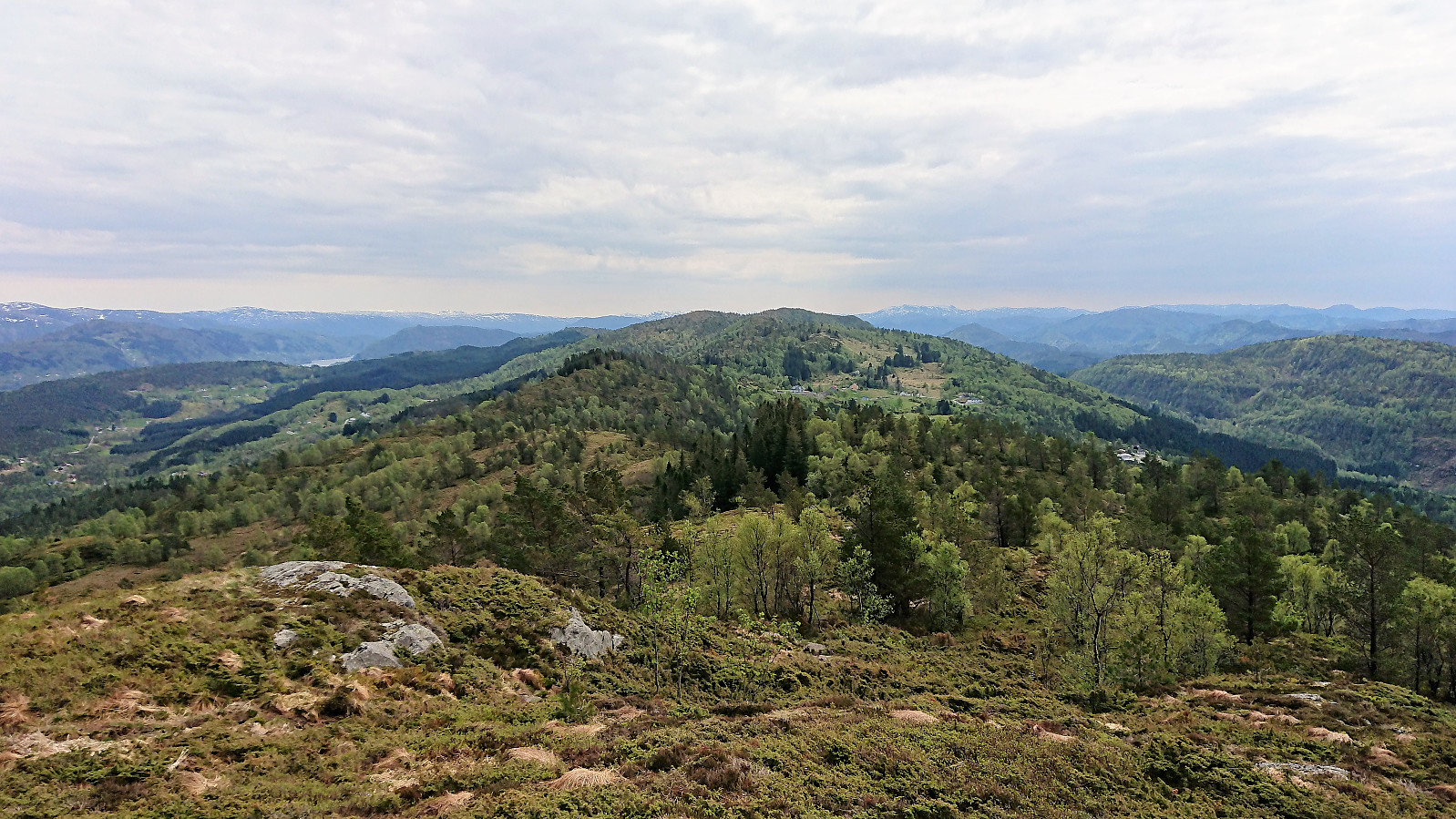
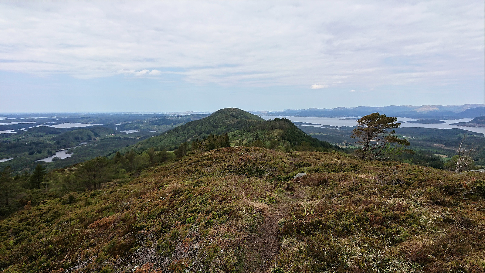
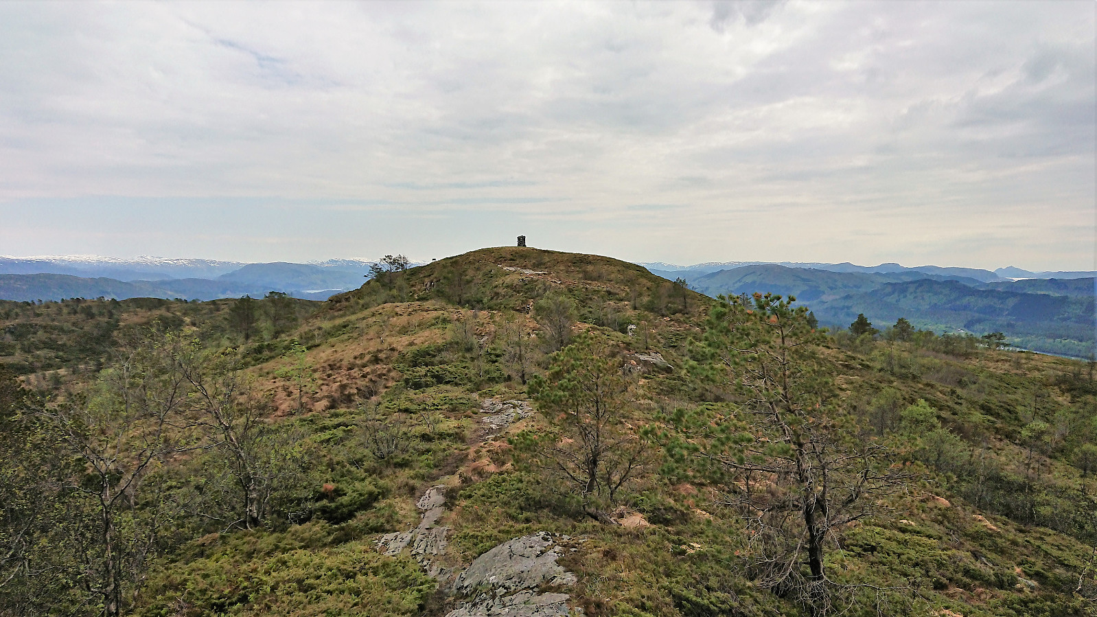
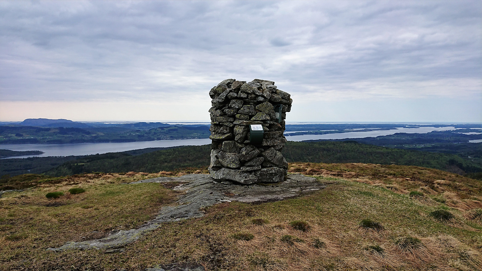
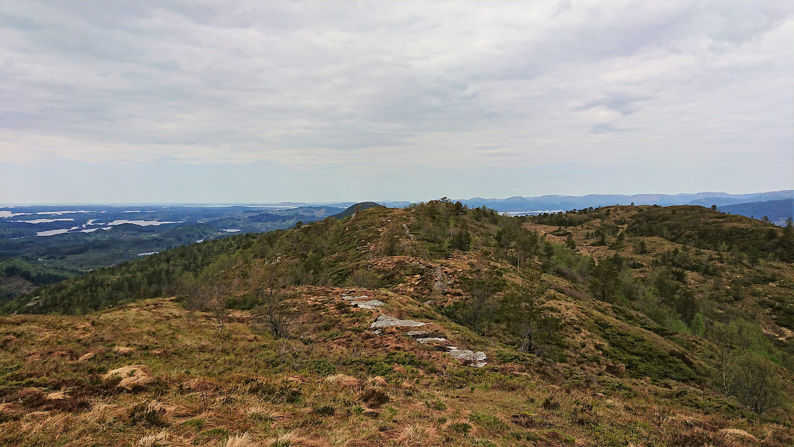
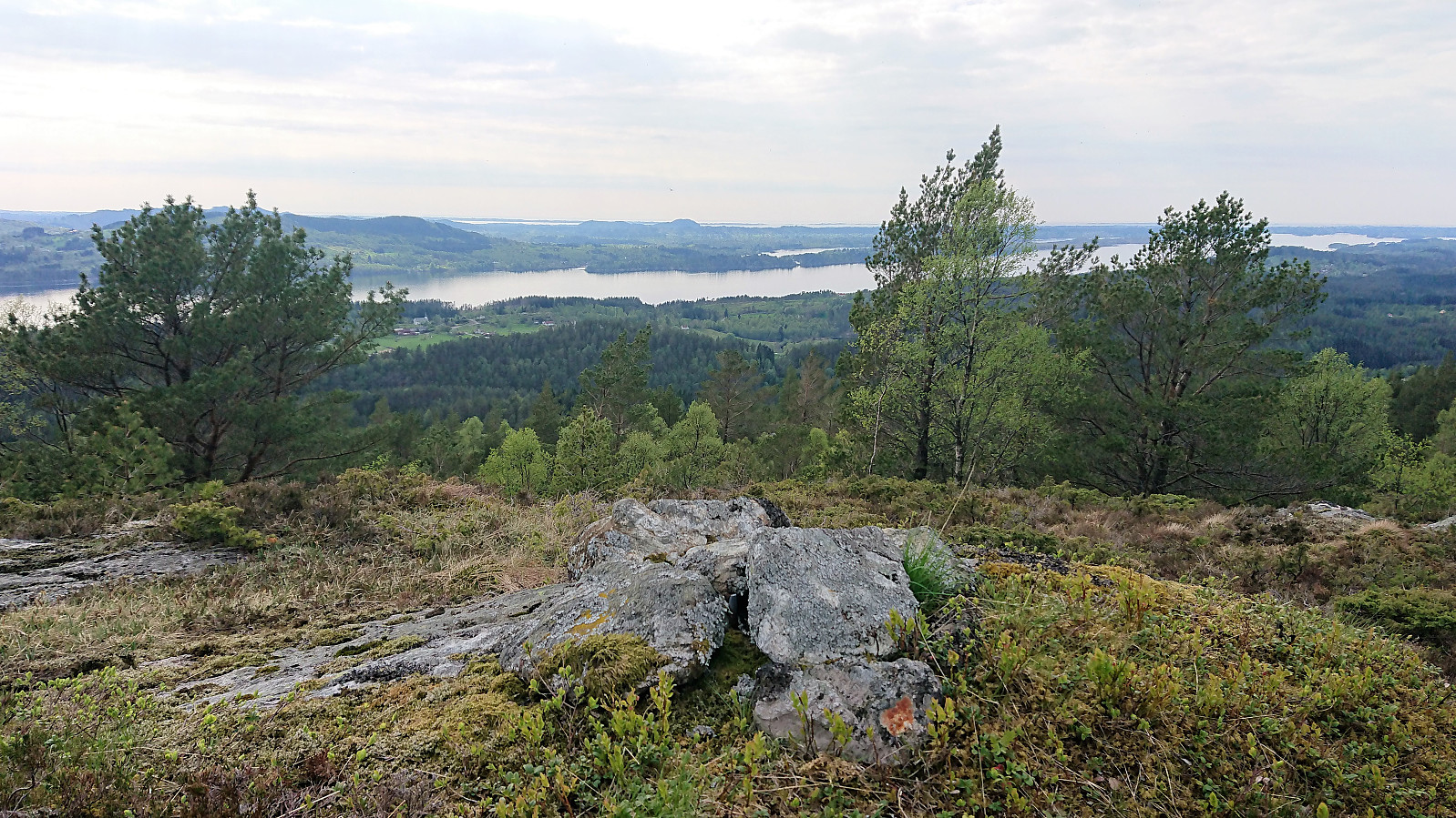
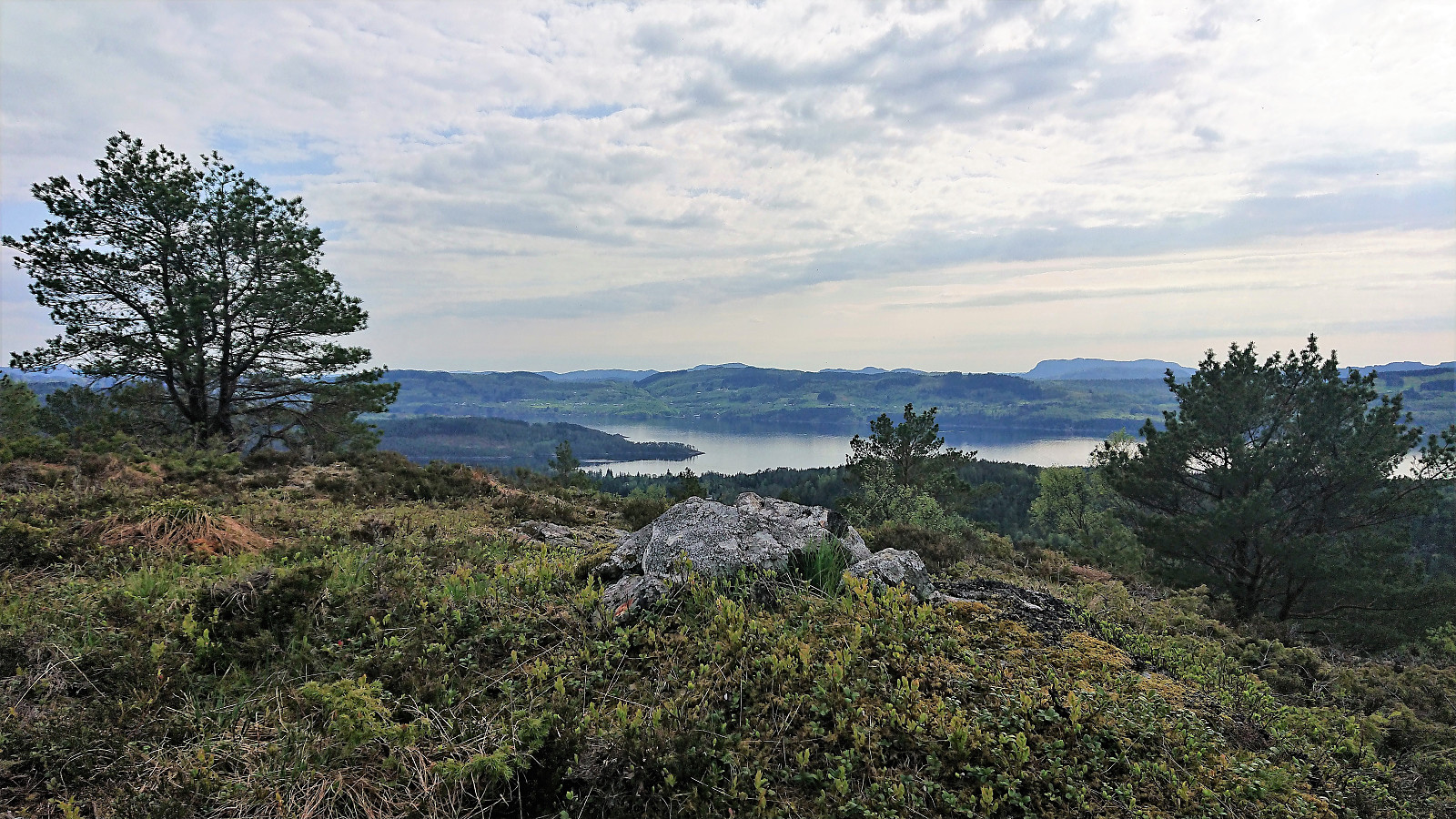
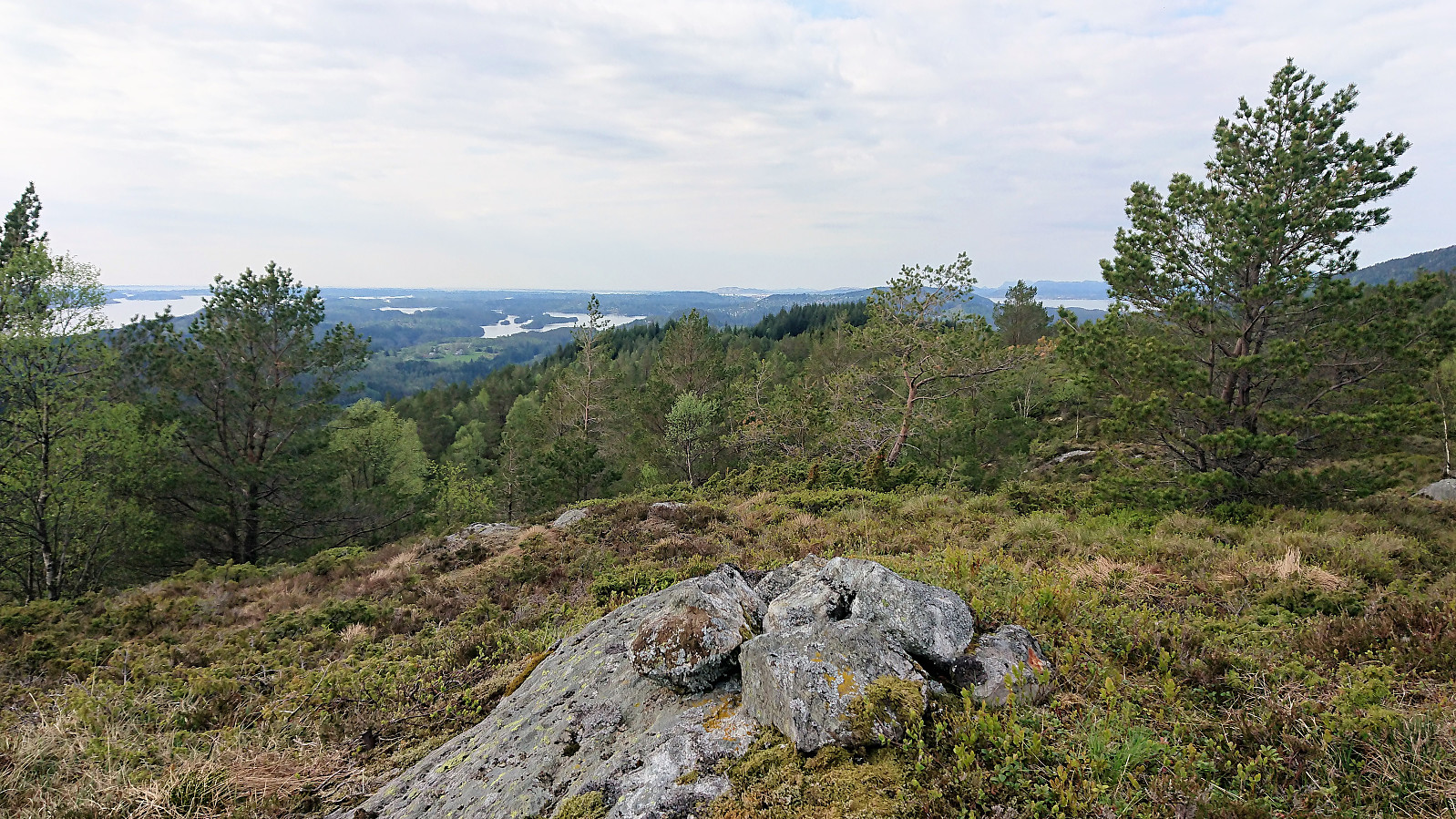
From here on the hike to Skausnøya was straightforward, following a very nice trail and ending with excellent views from the summit. By far the best trails of the day and the summit with the highest number of other visitors. I continued southeast along the ridge passing by Fjellsbøheia on the way to Selifjellet. Still on nice trails, but narrower than the ones on the ascent to Skausnøya and with more muddy sections. While walking along the ridge there were spectacular views in all directions, making it a very enjoyable hike. Selifjellet also provided excellent views, with new views to the south that had been partially blocked when walking along the ridge.
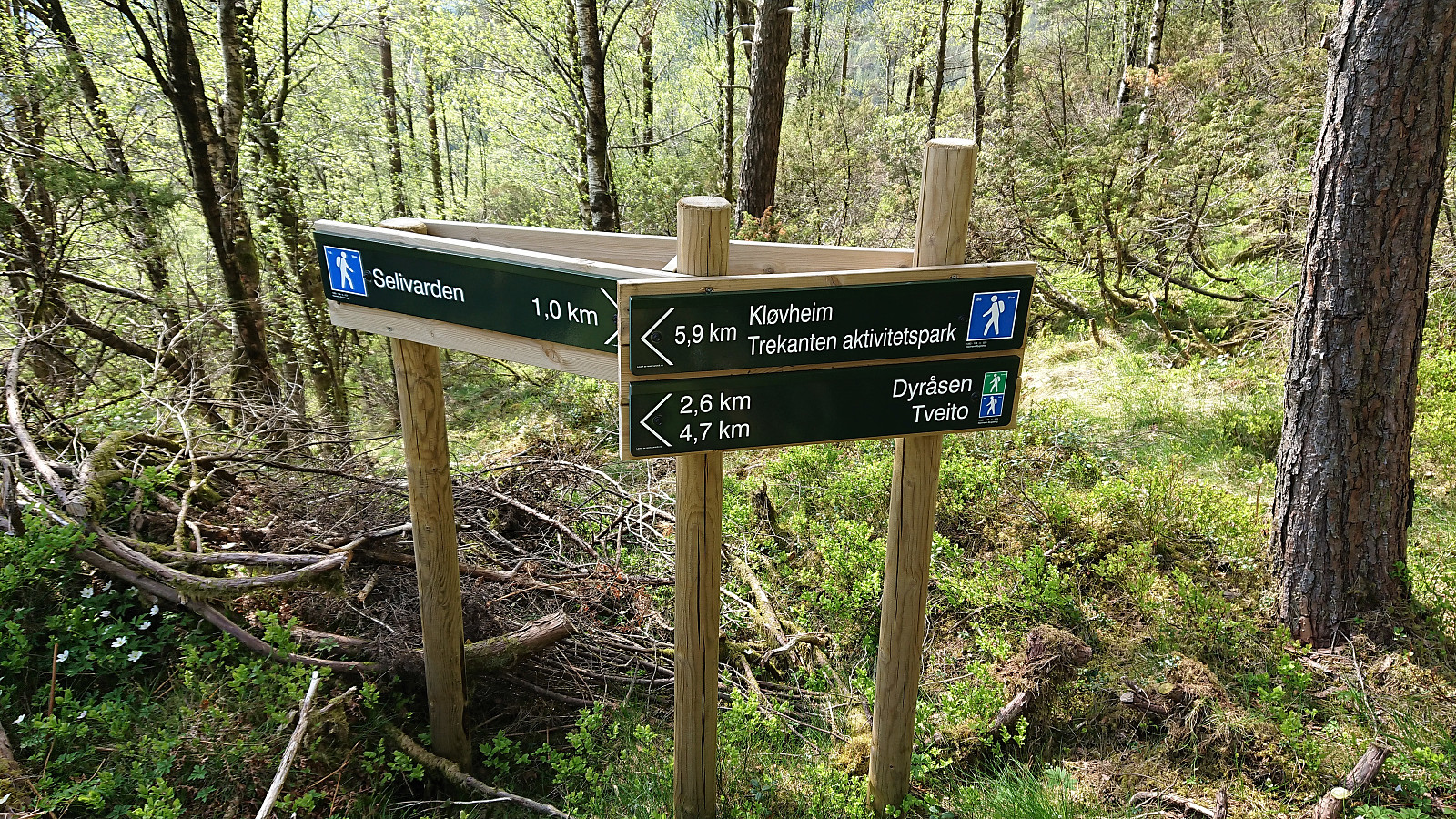
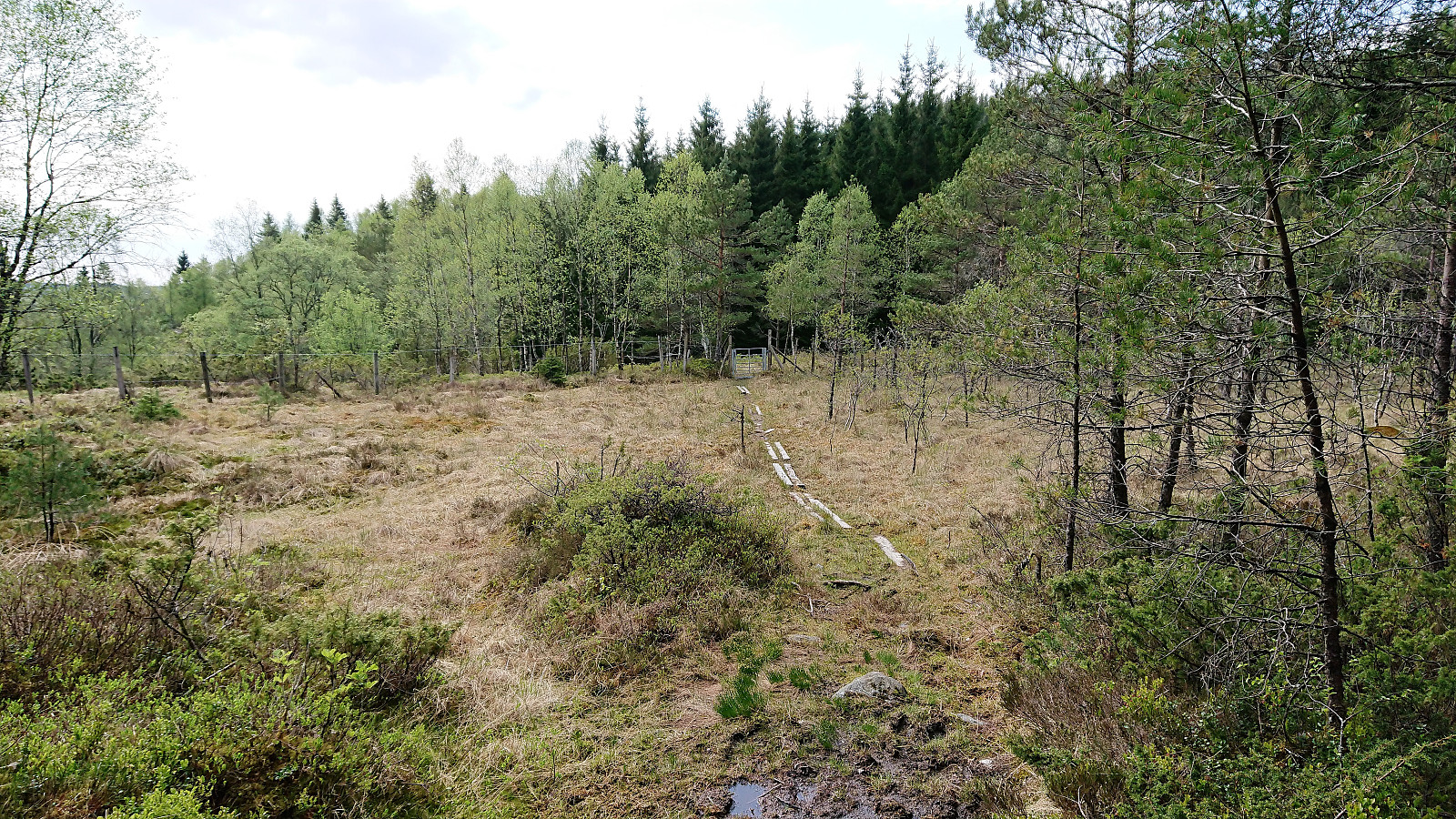
After a quick lunch, I continued southwest, still along nice trails, towards the final goal of the day Grimstadfjellet. The trail started out relatively steep, but was easy to follow. Shortly before reaching the small river in the valley between Selifjellet and Grimstadfjellet, there was a new sign indicating trails to Kløvheim, Dyråsen and Tveito, but while marked, these trails (all heading south/southeast) did not seem to be broken in yet. In other words, the unmarked trail continuing southwest towards Vikavatnet showed much more signs of usage.
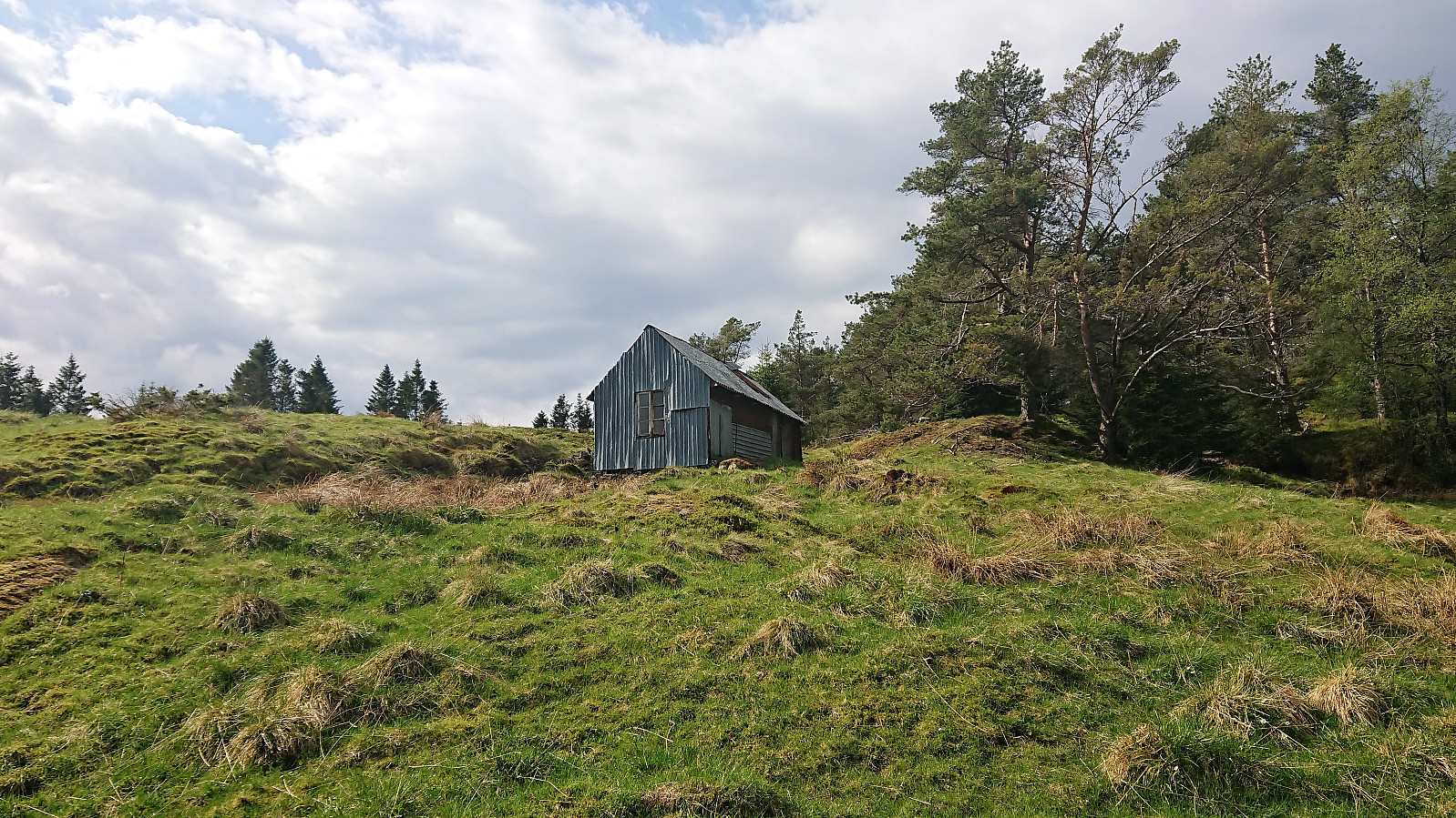
I ignored the signs and continued southwest instead, passing the river via an old stone bridge where the trail turned into an old tractor road which I followed west until reaching the crossroads just east of the building west of the small hill called Hushøyen. After passing through a gate and with the small stone building on my left, I started considering the possible routes to Grimstadfjellet.
In the end I decided to simply make my own way in the direction of the summit, as previous PB reports indicated that the trails were rather weak anyway. After finding a location where I could cross the fence without damaging it, I quickly found deer tracks that made the progress much easier. I even disturbed one of the track makers, but it did not wait around long enough for me to take any pictures.
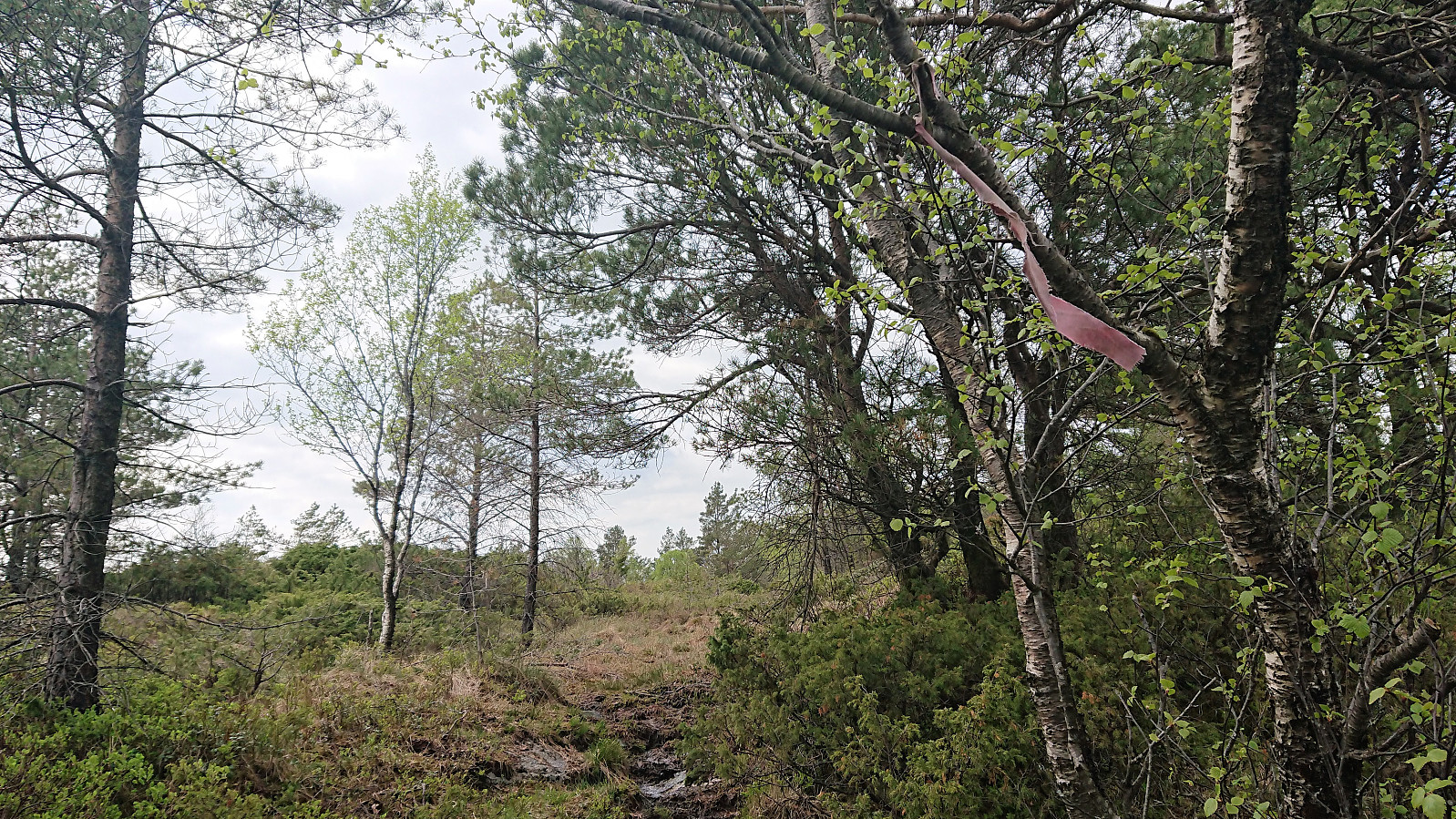
A direct route was not possible, so I started heading more west than planned, but soon found myself below the small barn above Vindskaret. Here there was even a trail marker in the form of a white ribbon, but this would be the last marker until getting almost to the summit.
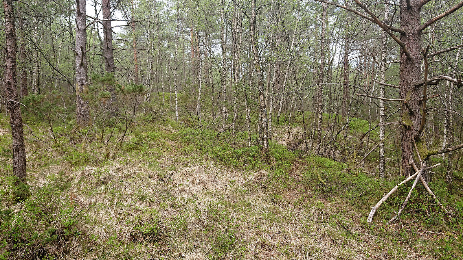
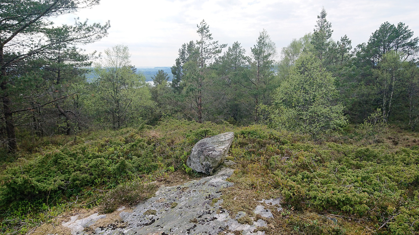
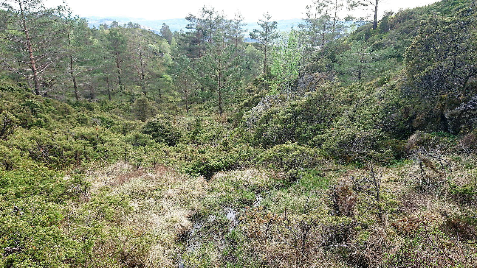
As soon as I left the open area with the barn, the trail disappeared and I had to follow various deer tracks. However, something looking almost like a trail did appear towards the end, but with more hoofprints than footprints. The summit of Grimstadfjellet provided limited views, so I continued west to the 248 hill, finding the remains of an old trig marker, and a much better view. Note that there were more trail markers for the first part of this short stretch between the summit and the trig marker than for the rest of the trail combined. Sadly, this did not come with a better-quality trail, and there was no trail at all to the trig marker itself.
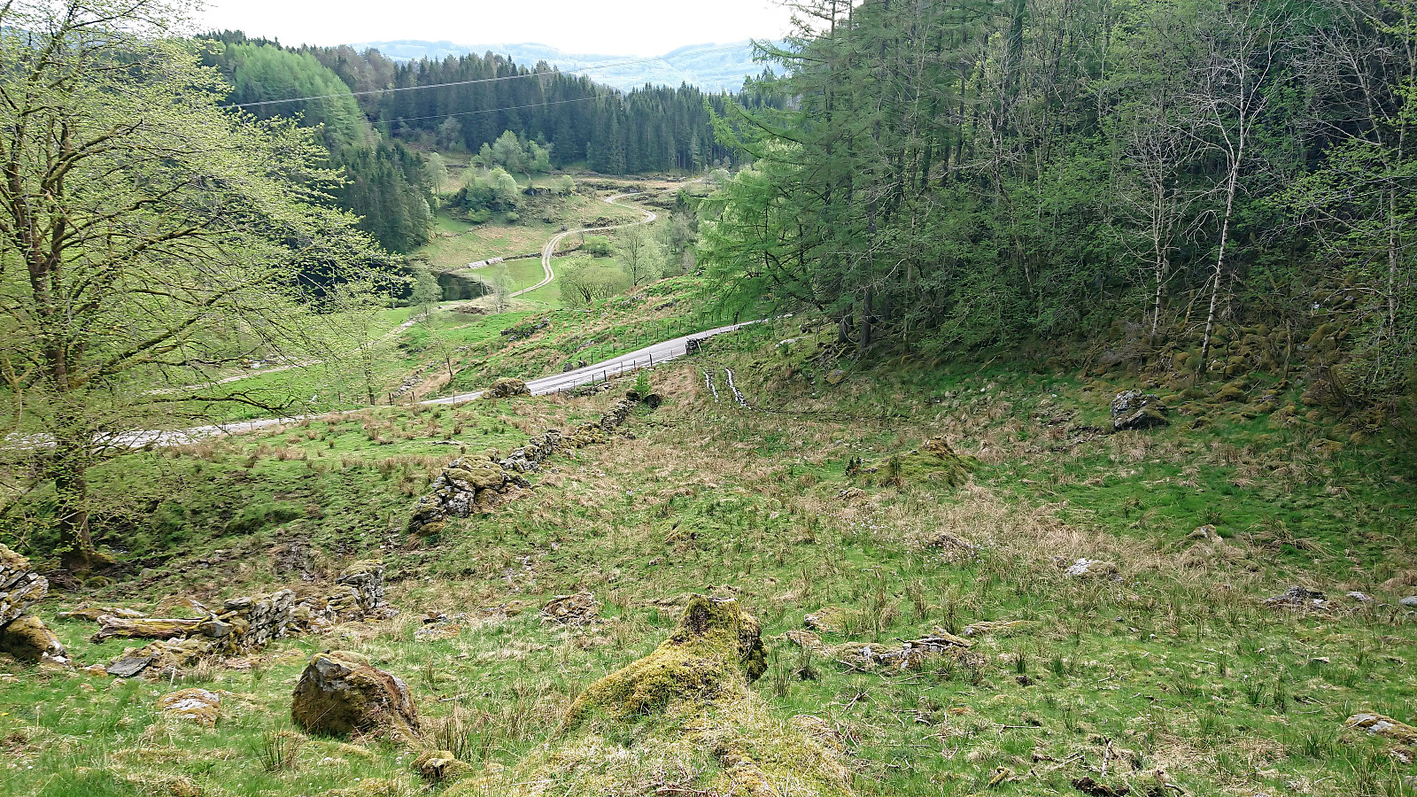
From the trig marker I followed the very wet trail down Ramsdalen. The trail disappeared shortly after crossing the small stream, but from there it was straightforward to reach the road. The hike was concluded by walking northwest along the road to Konglevoll and the bus back to Bergen.
In summary, this hike was clearly a mixed bag. The first part, excluding the difficulties with finding the trailhead, with the walk along the ridge from Skausnøya to Selifjellet, can be very highly recommended. The same goes for the trail down from Selifjellet. But probably better to just continue along this trail all the way to Vikavegen and skip Grimstadfjellet, which is clearly more of a "special interest".
| Start date | 13.05.2018 12:17 (UTC+01:00 DST) |
| End date | 13.05.2018 17:40 (UTC+01:00 DST) |
| Total Time | 5h 23min |
| Moving Time | 4h 52min |
| Stopped Time | 0h 30min |
| Overall Average | 2.8km/h |
| Moving Average | 3.1km/h |
| Distance | 15.2km |
| Vertical meters | 877m |


User comments