
Gråfjellet and Strandafjellet (11.05.2018)

Written by hbar (Harald Barsnes)

| Start point | Notaneset (7m) |
|---|---|
| Endpoint | Notaneset (7m) |
| Characteristic | Hillwalk |
| Duration | 4h 26min |
| Distance | 11.8km |
| Vertical meters | 773m |
| GPS |
|
| Ascents | Gråfjellet (485m) | 11.05.2018 |
|---|---|---|
| Midtfjellet (446m) | 11.05.2018 | |
| Strandafjellet (387m) | 11.05.2018 | |
| Visits of other PBEs | Strandafjellet varde (385m) | 11.05.2018 |
Gråfjellet and Strandafjellet
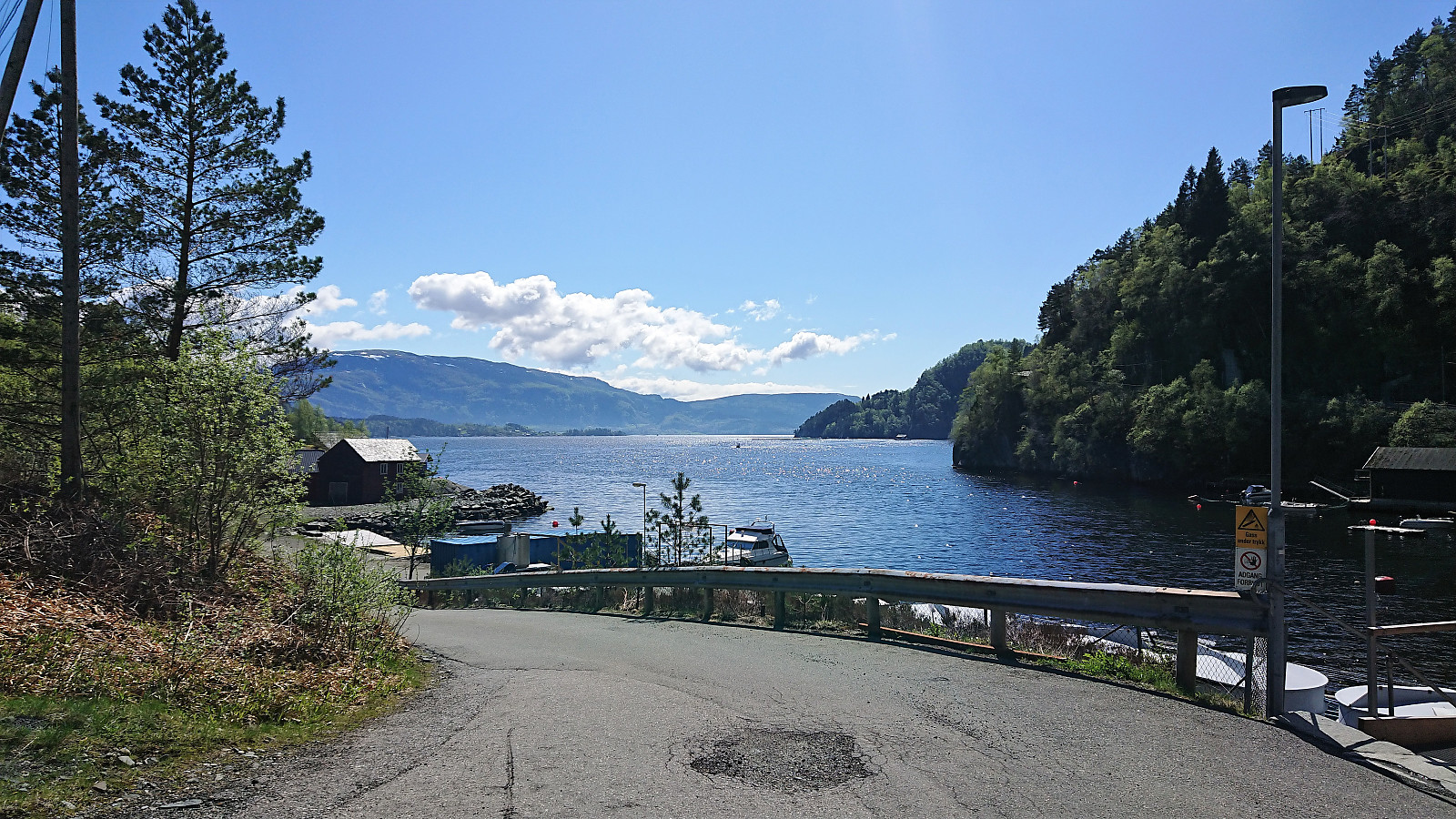
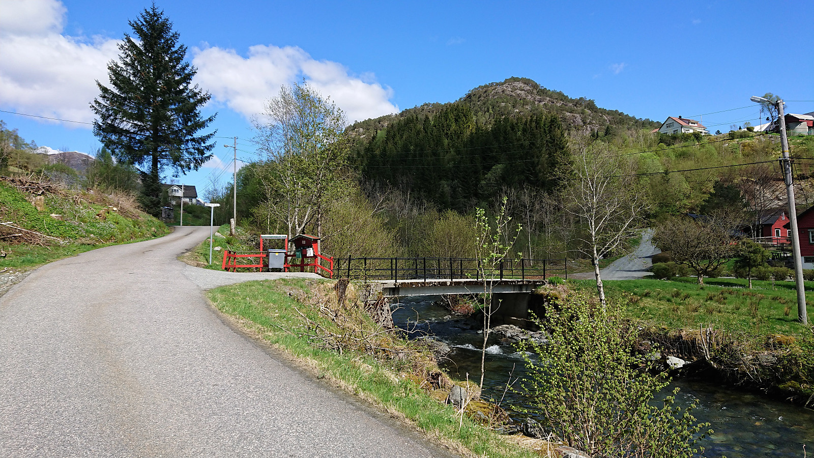
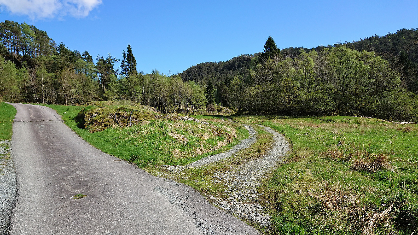
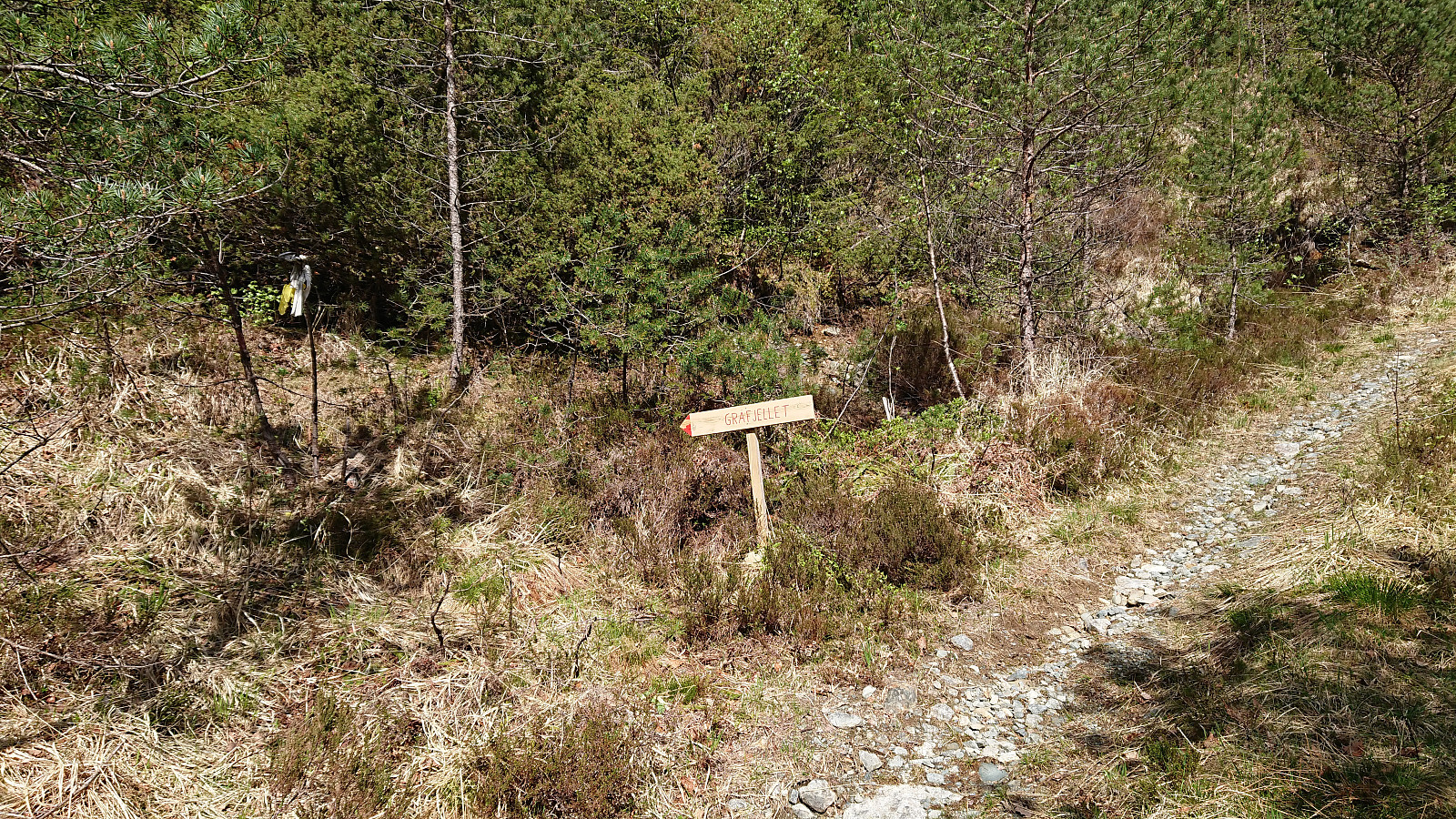
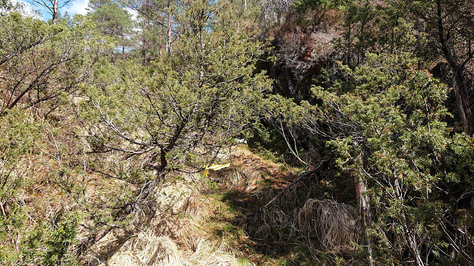
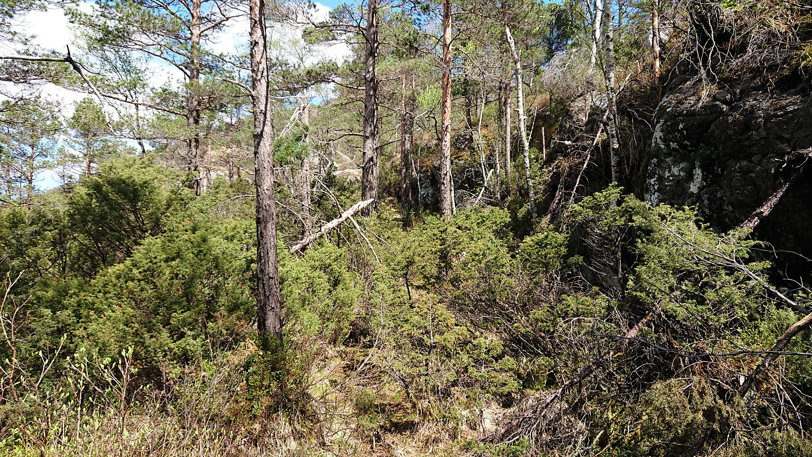
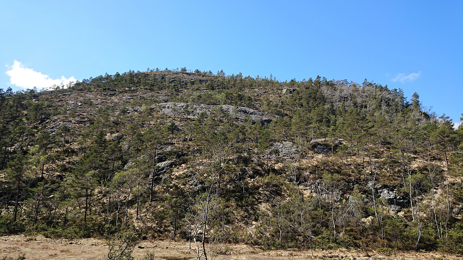
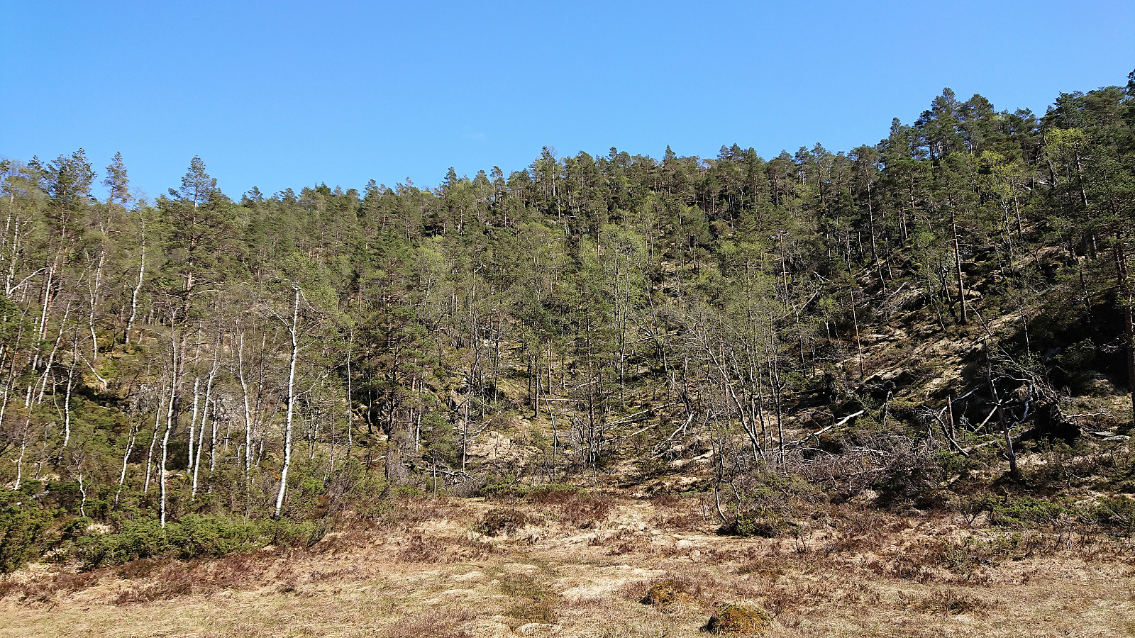
Started by taking the bus to Lønningdal (note: no buses at weekends or evenings) and walked north along Øvredalsvegen before crossing the bridge east towards Gråfjellet. The road soon turned into a tractor road, which I followed until a fairly new sign indicated the trailhead for Gråfjellet. The trail was marked with white and/or yellow ribbons, although the ribbons were sometimes easier to see than the trail. And after not too long, I could see neither ribbons nor trail. Had to give up and simply head the way I thought the trail ought to go. And sure enough, within not too long the marked trail reappeared, and I found myself looking up at Nulten (not sure if the 'l' is a typo?, but that is what was on the map).
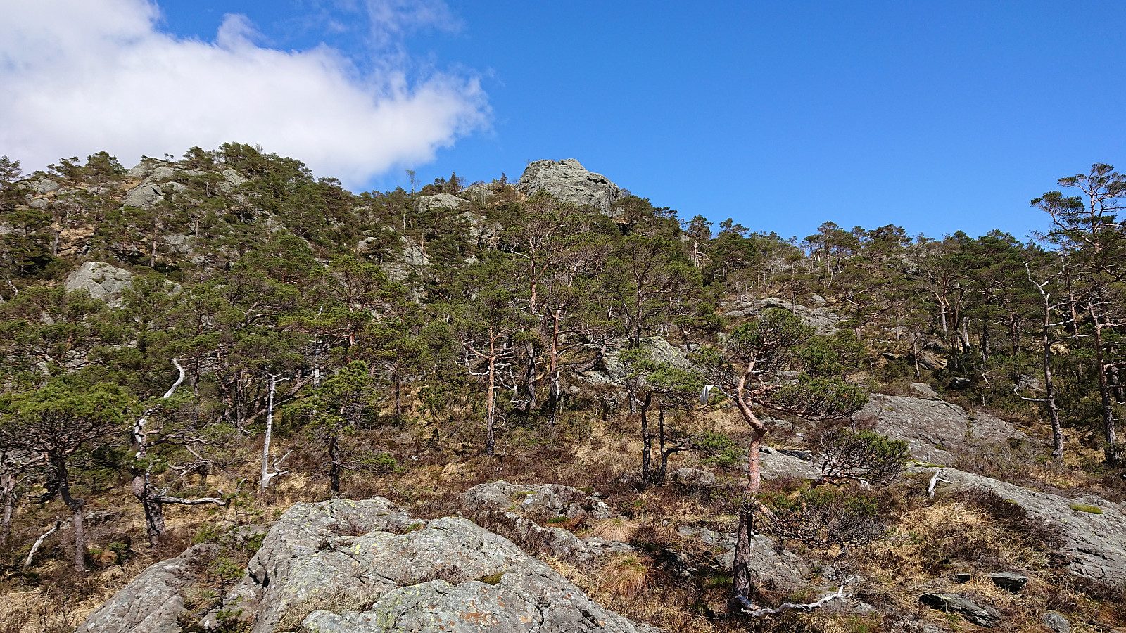
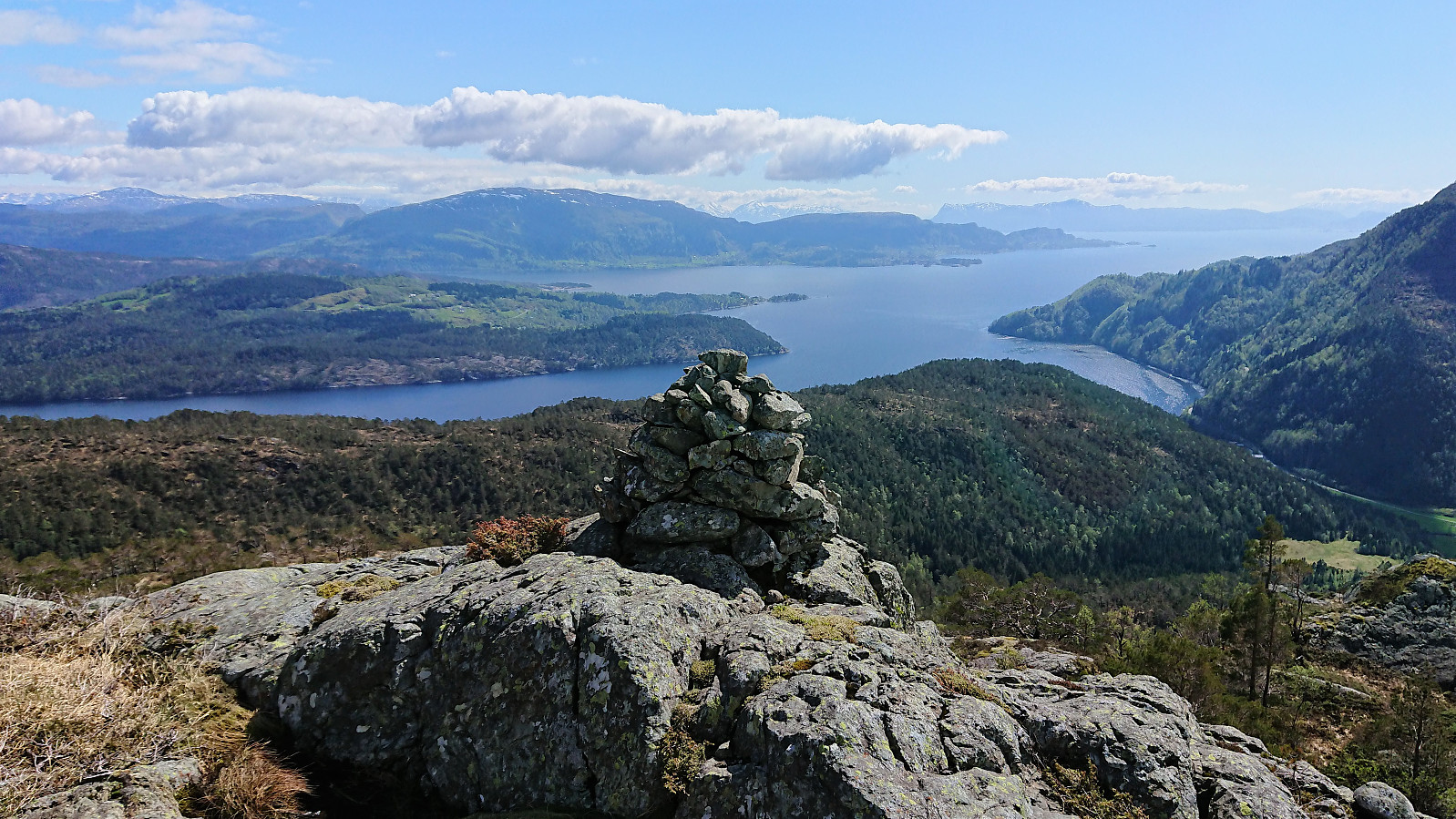
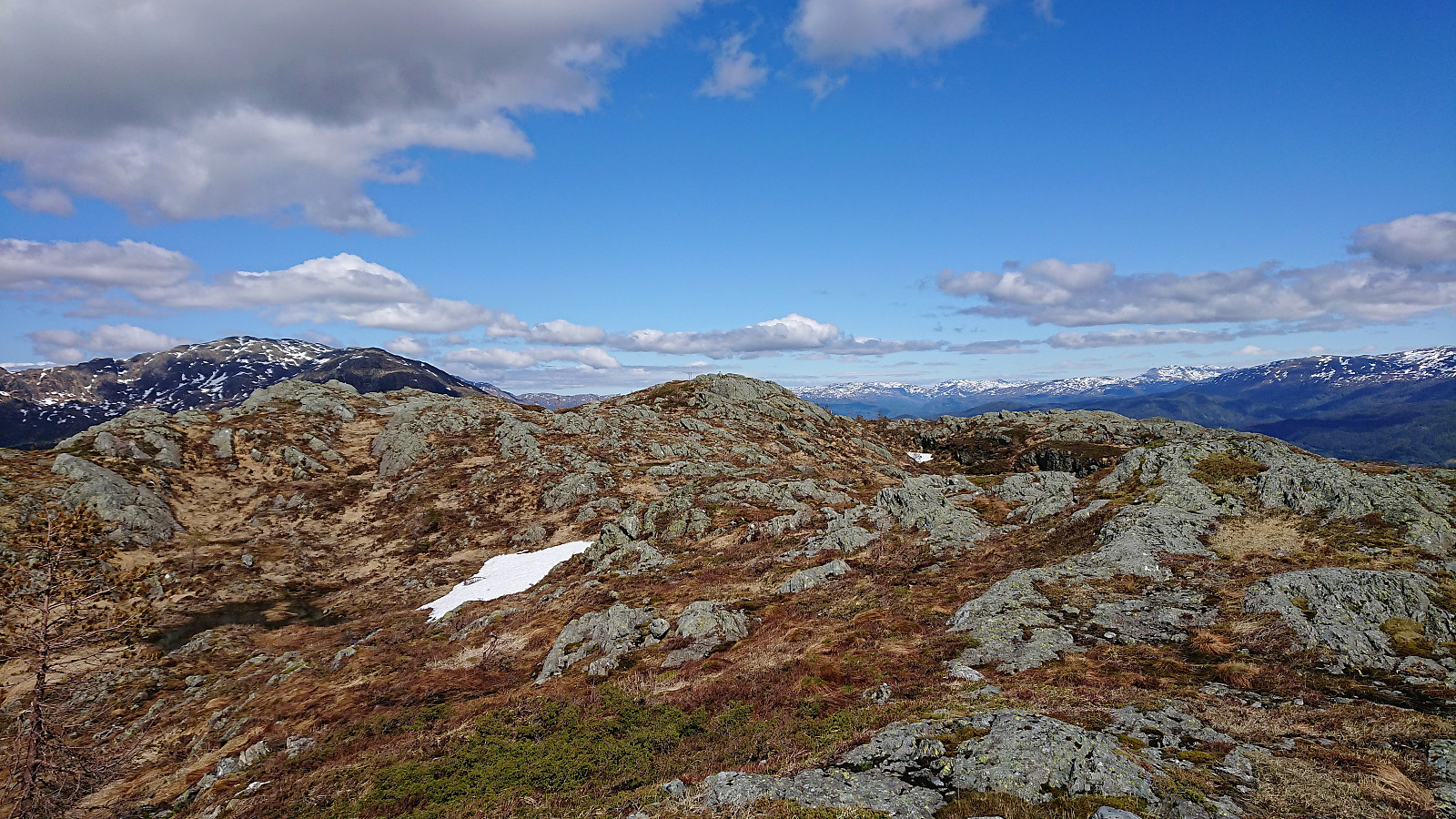
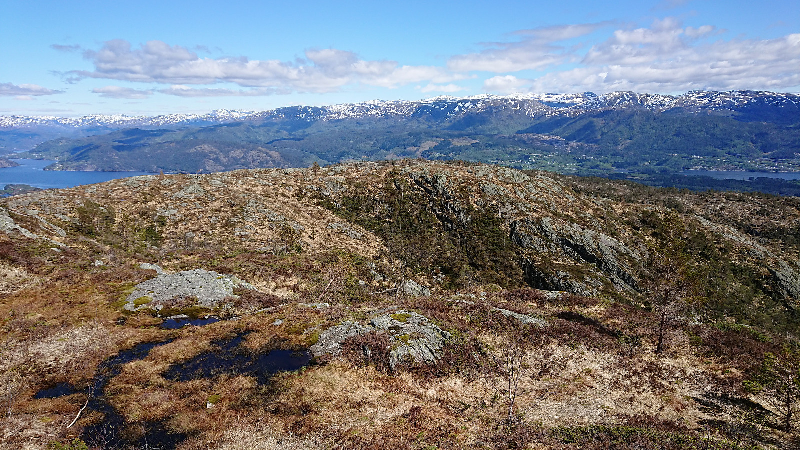
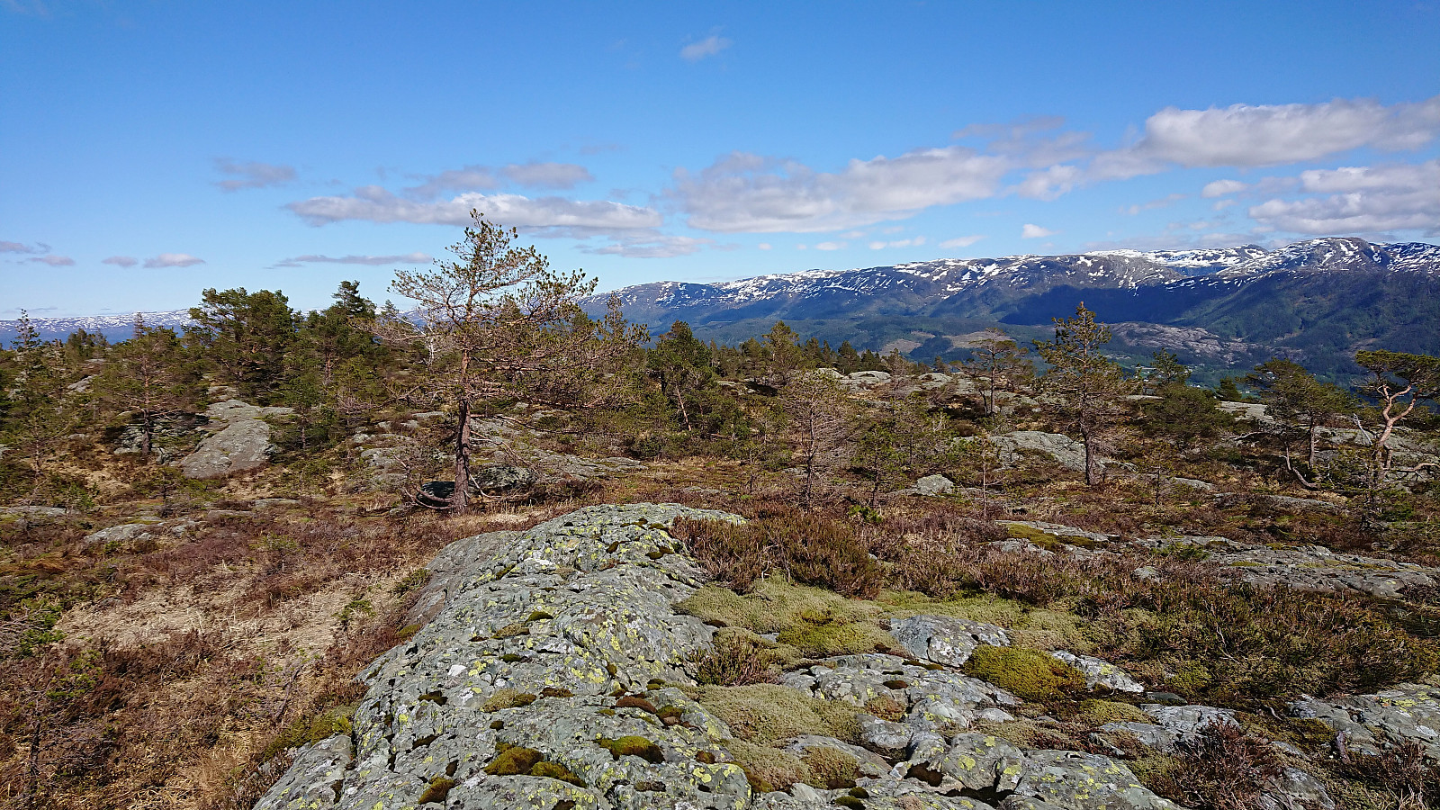
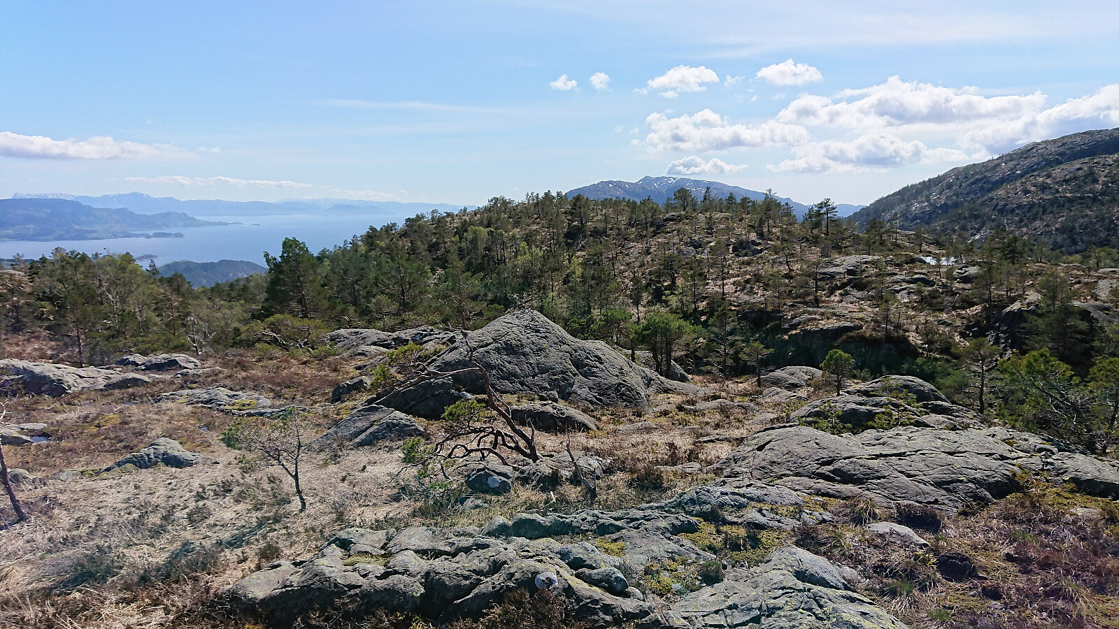
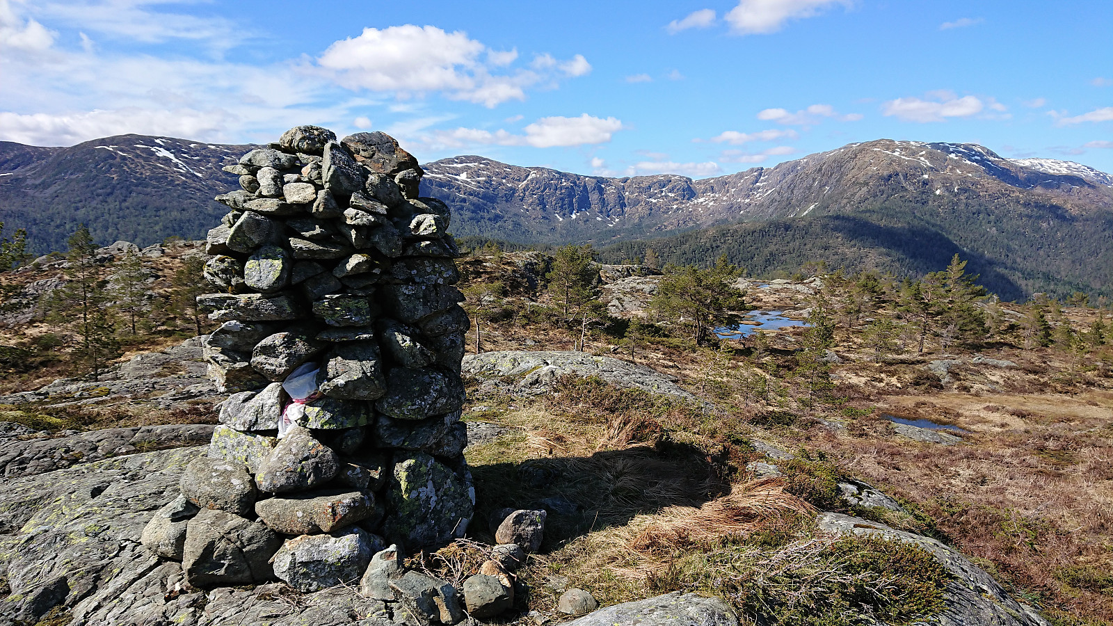
I quickly lost the trail again though, and instead made my own way to Nulten and the cairn located there. Still another 600 meters to the summit, but now in open terrain, making for much easier hiking. The summit of Gråfjellet was marked with a visitor register. However, the lid of the mailbox had been torn off, probably by the wind, exposing the book inside to the elements, with the result that it was completely soaked and thus impossible to read, much less sign.
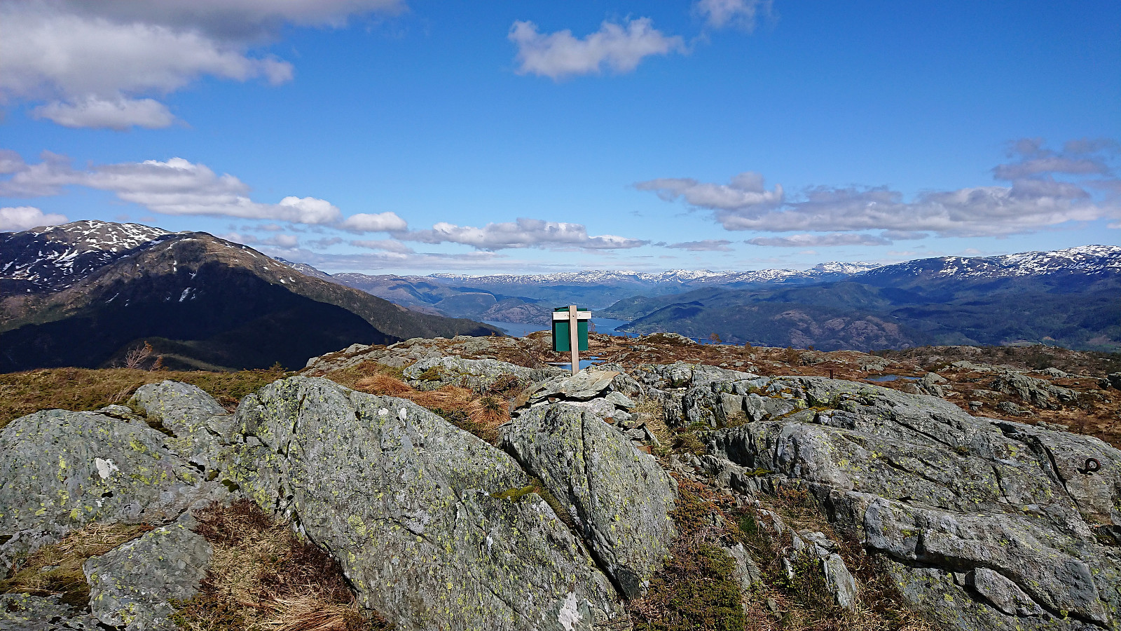
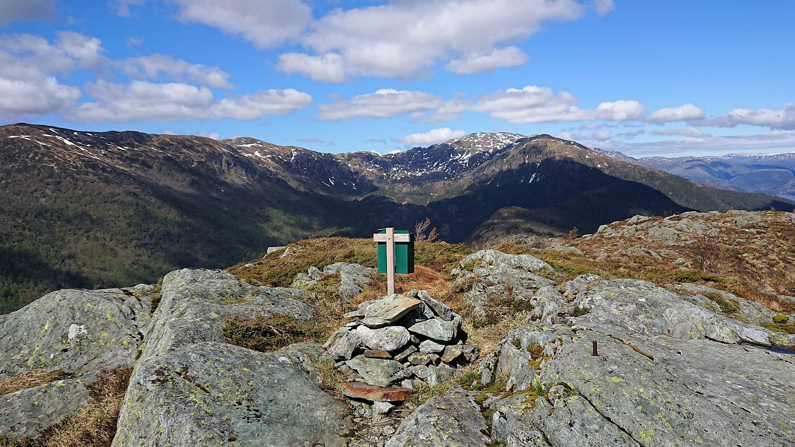
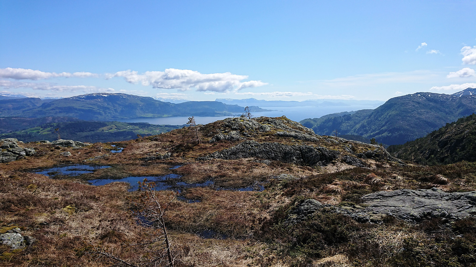
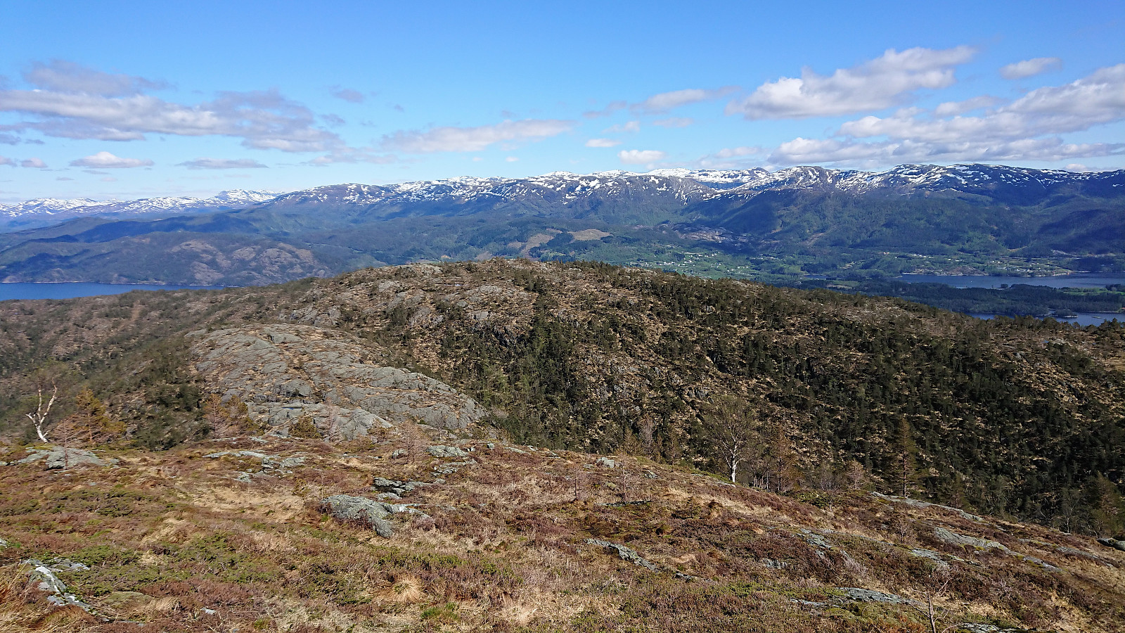
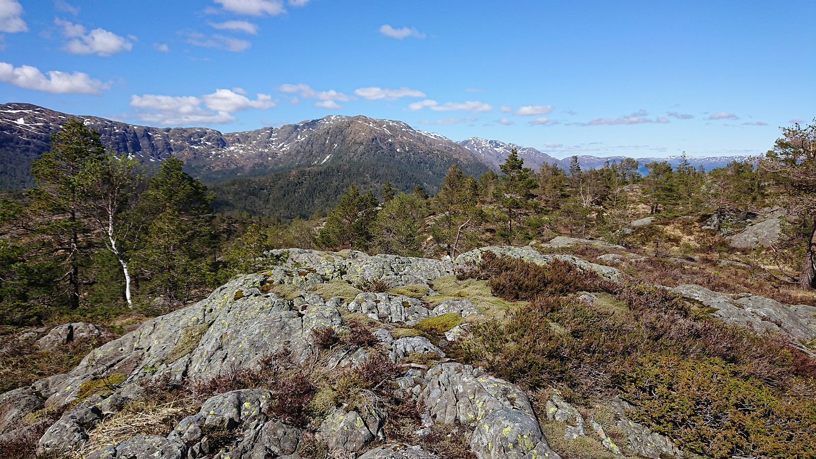
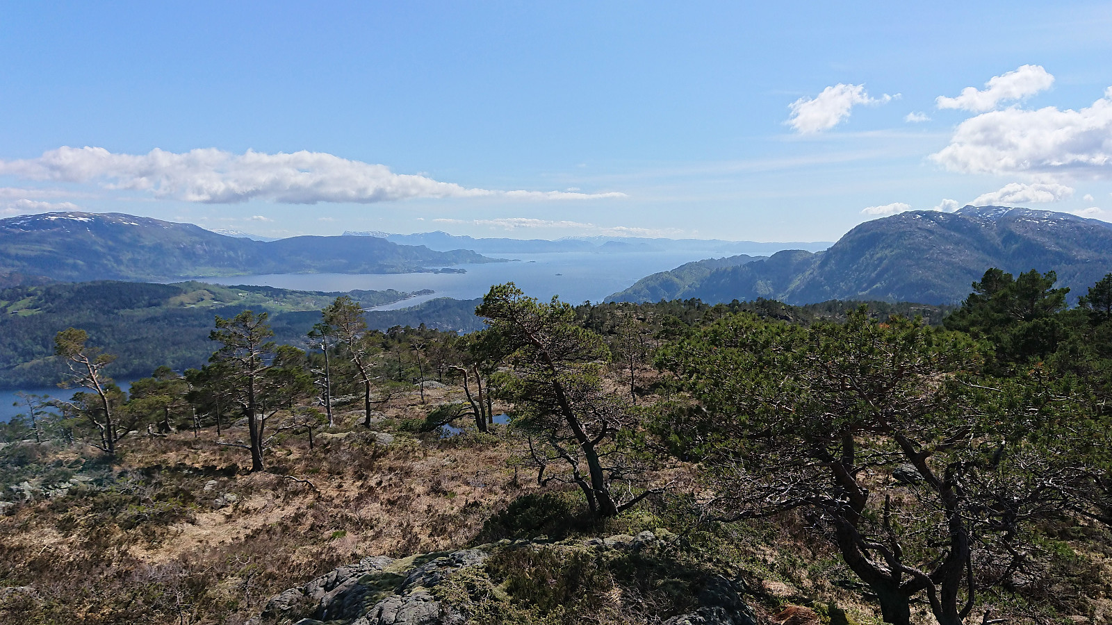
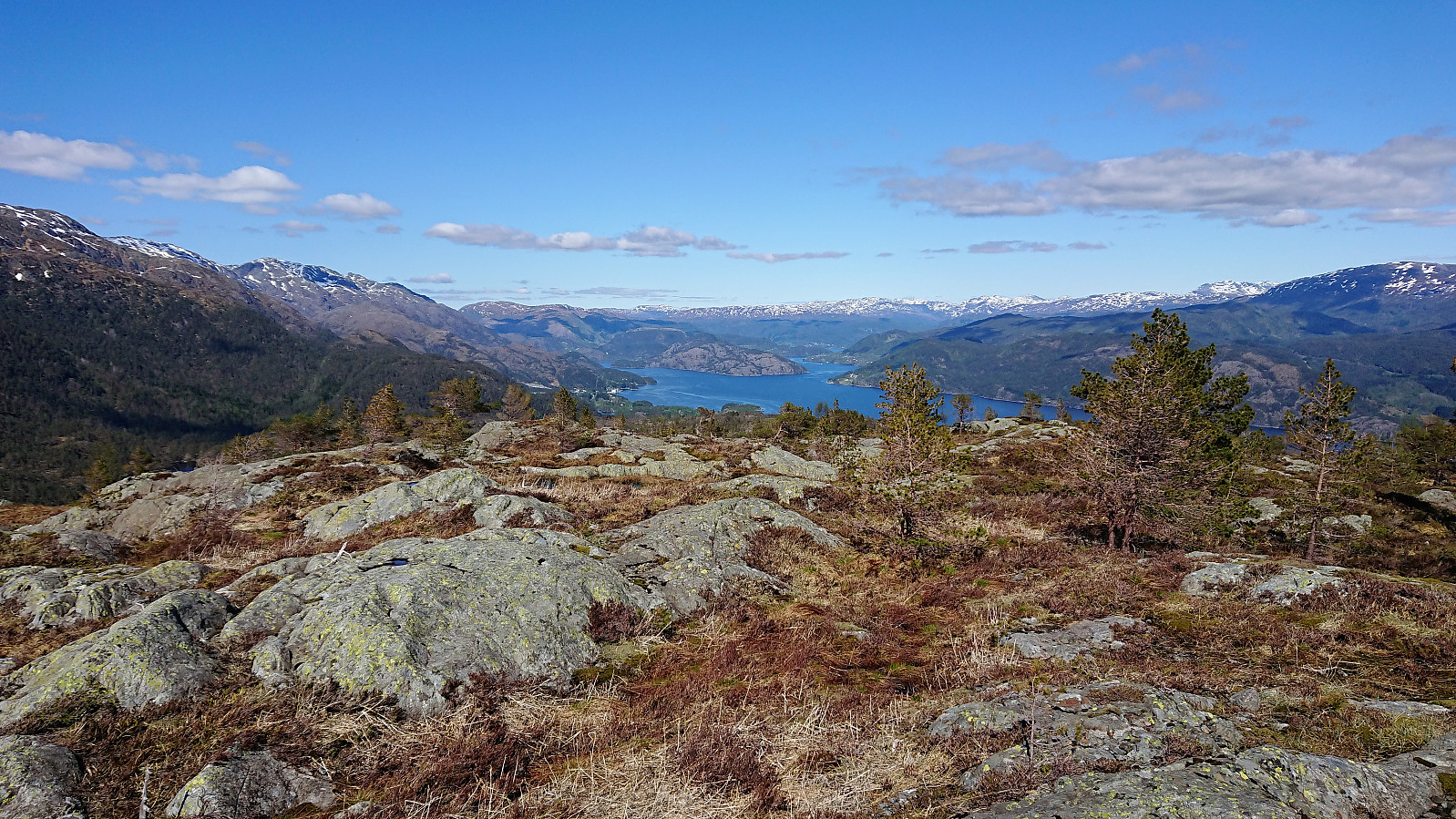
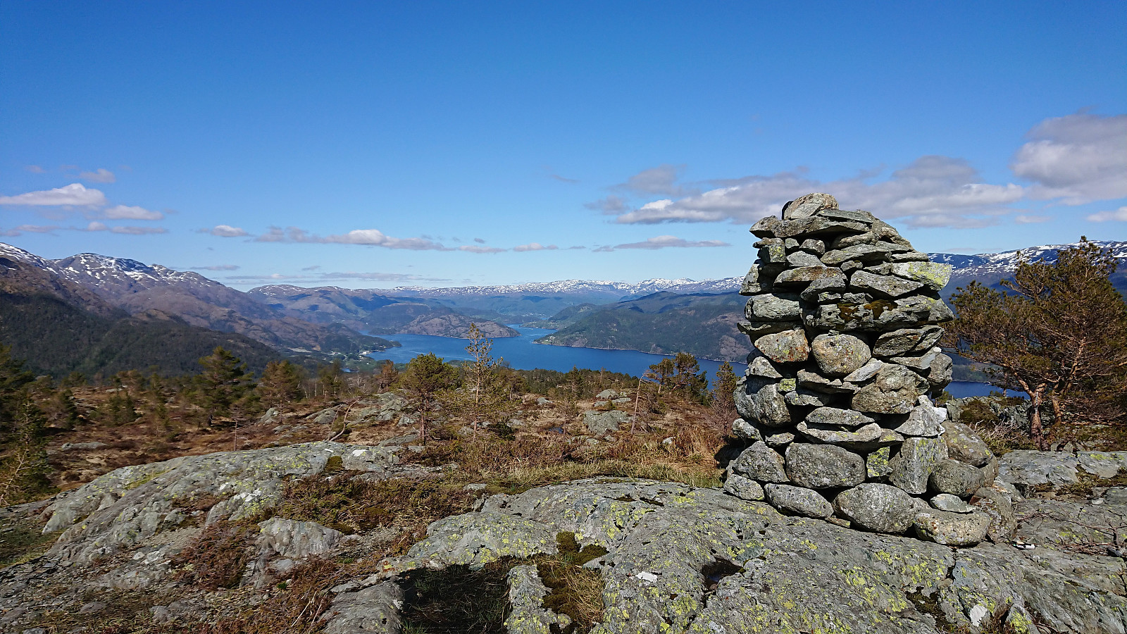
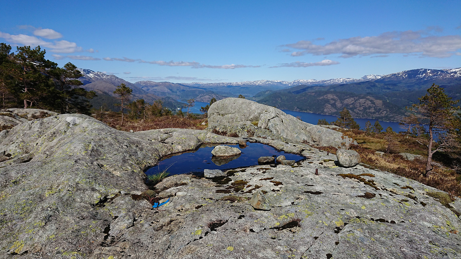
After enjoying the excellent views, I started planning my next goal: Strandafjellet, a summit with only one previous visit, but with no pictures, text or GPS track. I continued north, then turned east and passed over to Midtfjellet, for the most part along a weak trail until starting the ascent, but the ascent was straightforward. I now finally had a clear view towards Strandafjellet and decided to try a more or less straight route. And although there were some steep sections that had to be avoided, getting down from Midtfjellet was fairly easy, and I soon arrived in the valley between the two peaks, crossing a small stream.
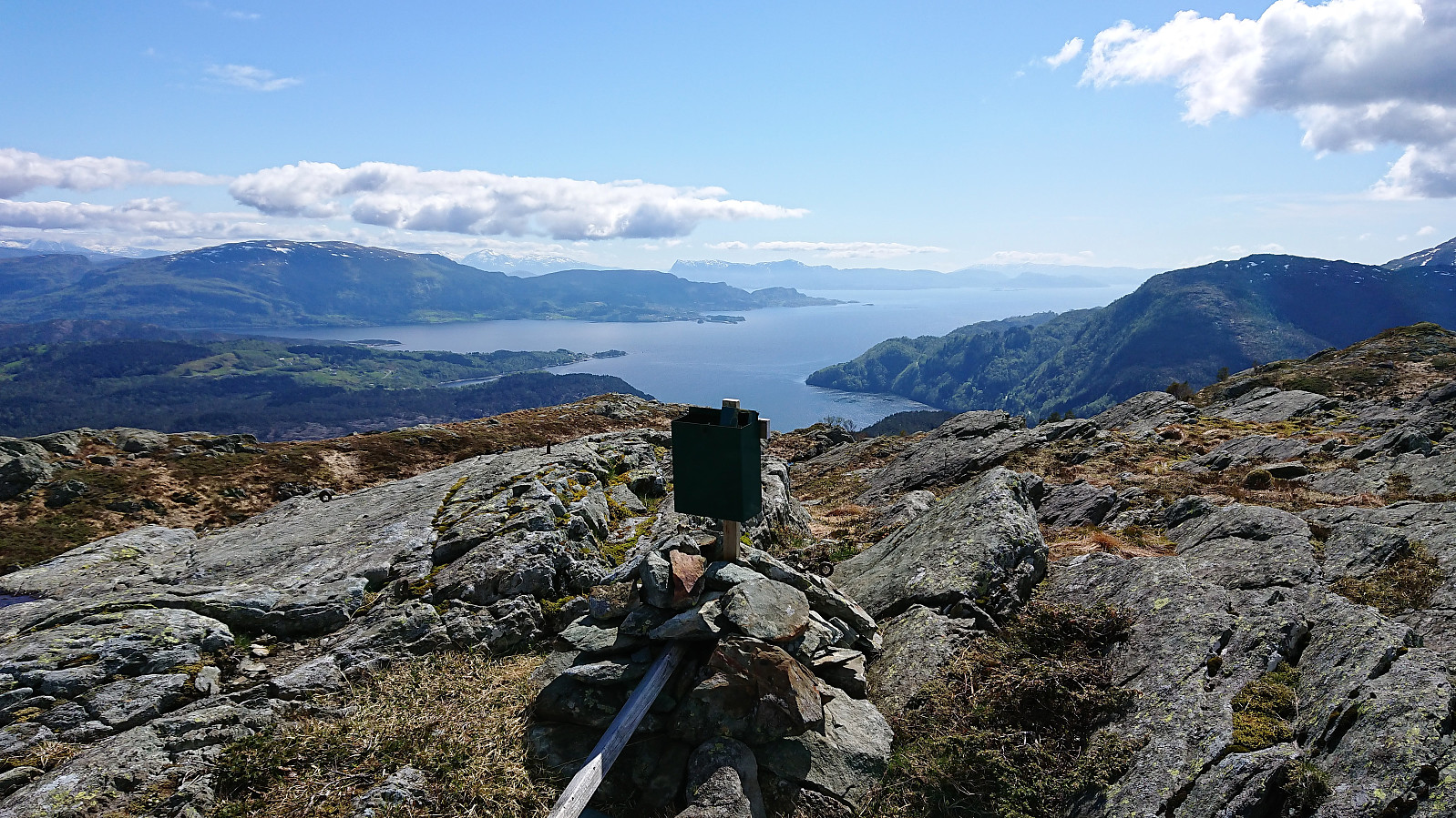
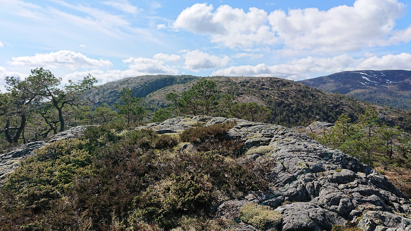
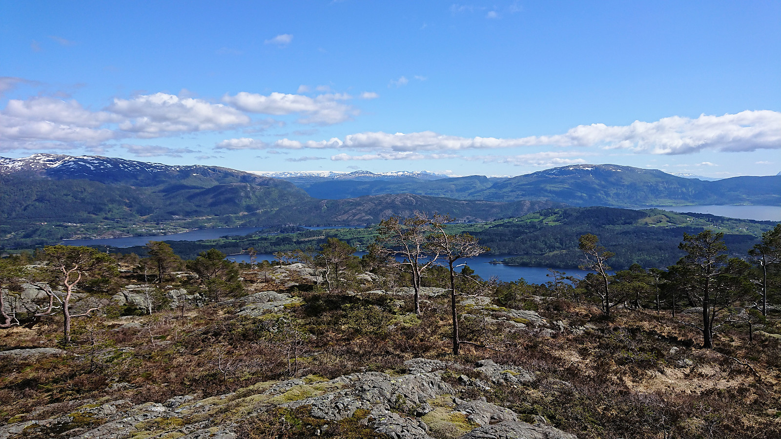
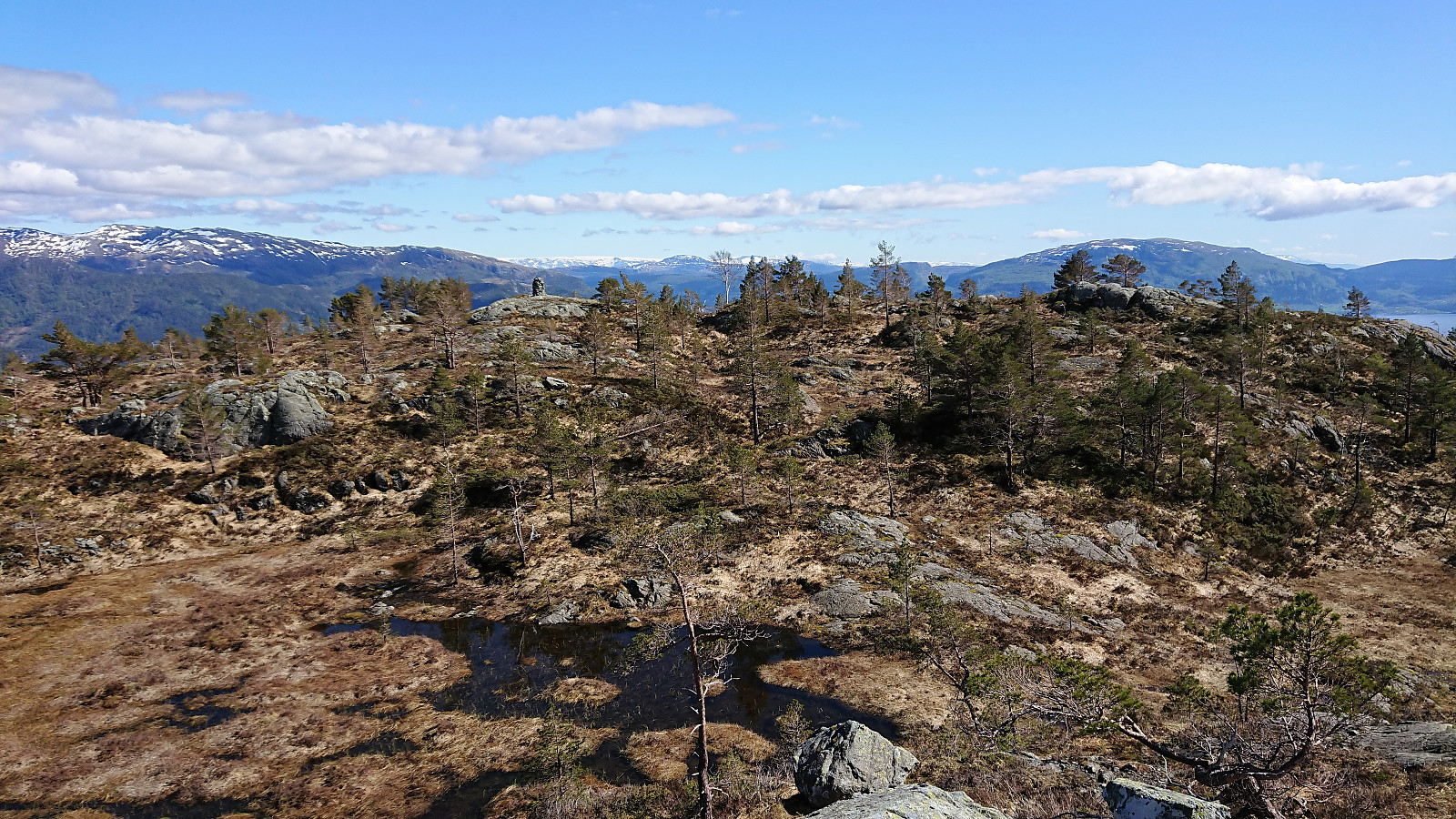
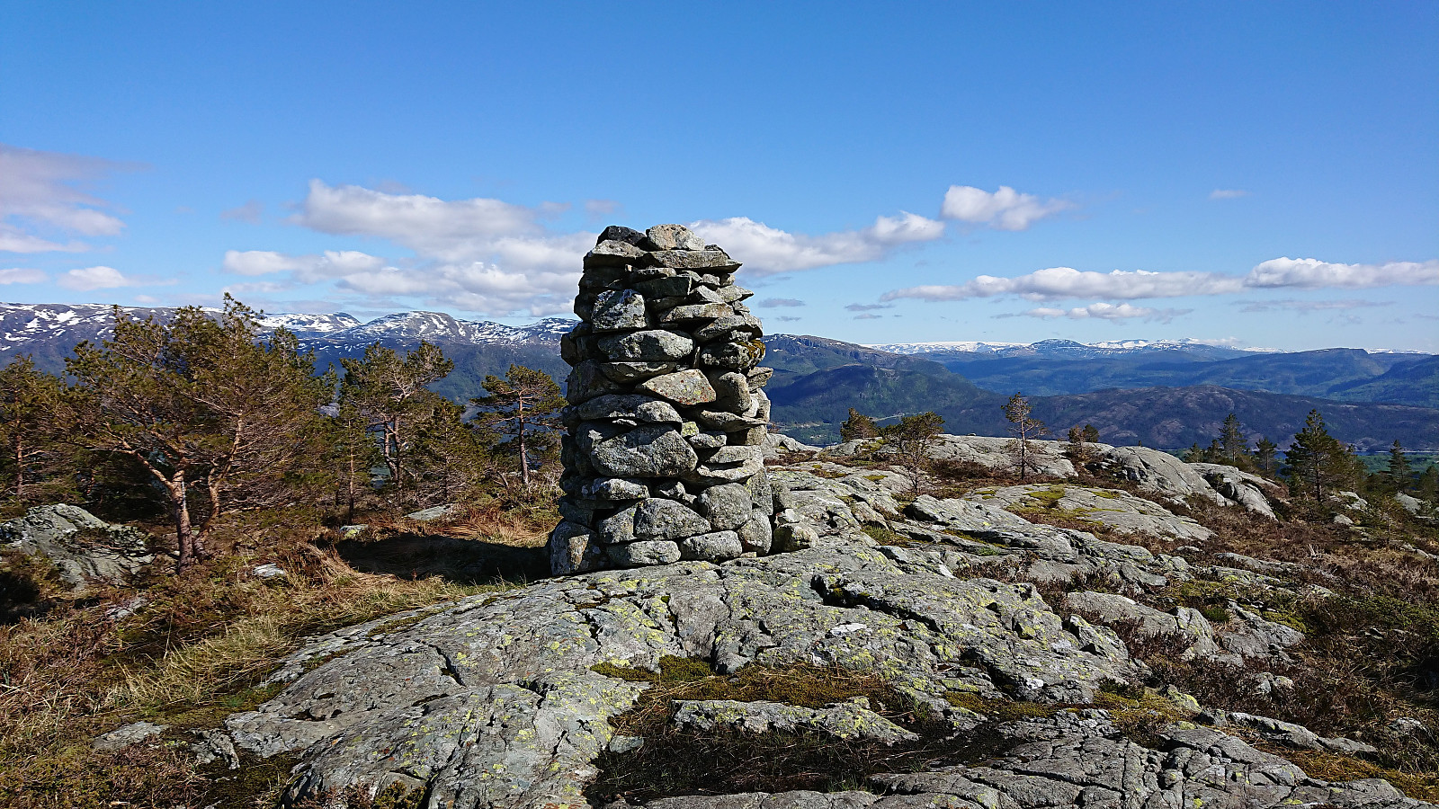
For the ascent I followed various deer tracks that made it surprisingly easy to reach the summit of Strandafjellet, which provided nice views, though not much new compared to Gråfjellet. I also visited the smaller summits at Strandafjellet to the northeast, and came across both a large cairn (with another soaked visitor register) and an old trig marker.
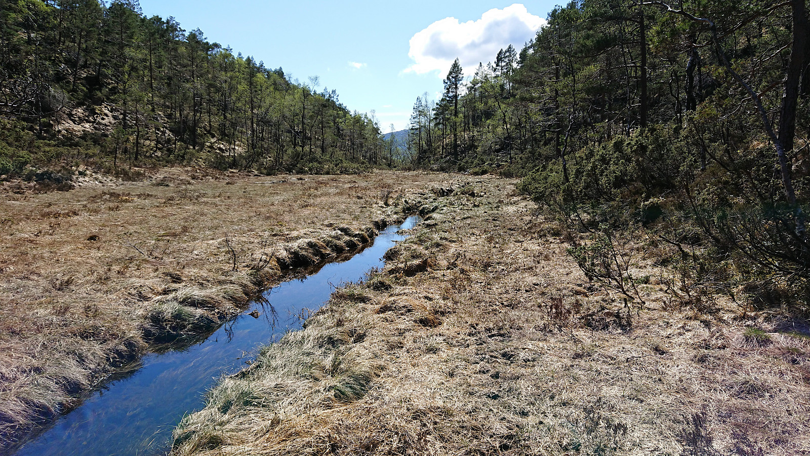
Now all that remained was to find my way back to the bus at Lønningdal. Instead of retracting my steps across Midtfjellet, I headed south/southwest, with the plan go via the small cabin indicated on the map, hoping that I would there find a trail. The terrain was overall open and easy to traverse even without any trails.
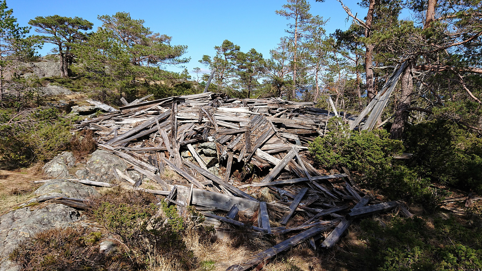
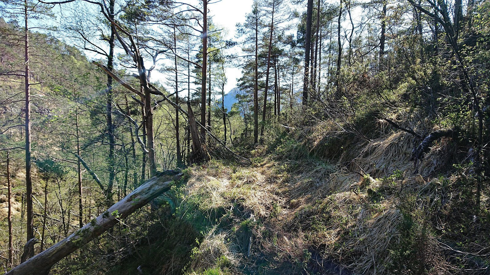
But upon reaching the cabin, my hope for a proper trail diminished, as all that was left was a pile of planks. I therefore had to make my own way southwest to connect with the trail coming down from Gråfjellet. Getting to where the trail was indicated on the map was not too difficult, but finding the trail was more challenging. In the end I had to "cheat" and check previous PB reports, figuring out that the trail was not exactly where the map indicated it should be. To my defense the quality of the trail was also relatively poor, not that much different from the numerous deer tracks crisscrossing it. But it did get me to the tractor road, which I then followed back to the paved road and onwards to the bus stop.
In summary, this hike provided excellent views, but due to the overall poor and non-existent trails, the result is still a hike that cannot be strongly recommended, and it is in my opinion quite understandable that most hikers visit the much more enjoyable Sveningen instead.
| Start date | 11.05.2018 12:41 (UTC+01:00 DST) |
| End date | 11.05.2018 17:07 (UTC+01:00 DST) |
| Total Time | 4h 26min |
| Moving Time | 4h 05min |
| Stopped Time | 0h 21min |
| Overall Average | 2.6km/h |
| Moving Average | 2.9km/h |
| Distance | 11.8km |
| Vertical meters | 772m |


User comments
Gratulerer med fullført ..
Written by Kjell51 12.05.2018 19:58Jeg får gratulere med fullført Os PF>50 liste jeg også. Ser jeg er på vei nedover på listen, men det gjør ingen ting for meg.
Re: Gratulerer med fullført .
Written by hbar 13.05.2018 00:44Takk! Og takk for ruten opp til Stora Stokkfjellet forresten. Alltid lettere når noen andre har gjort jobben med å finne veien til toppen. :)
Gratulerer med fullført ..
Written by knutsverre 12.05.2018 10:59Os PF>50 liste! Godt jobbet!
Re: Gratulerer med fullført .
Written by hbar 12.05.2018 12:46Takk! Måtte jo sette opp farten litt når dere plutselig begynte å nærme dere toppen av listen... ;)