
Storafjellet and Ørnhaugen (07.05.2018)

Geschrieben von hbar (Harald Barsnes)

| Startpunkt | Lokøyna (9m) |
|---|---|
| Endpunkt | Skålevik (25m) |
| Tourcharakter | Bergtour |
| Tourlänge | 2h 42min |
| Entfernung | 7,0km |
| Höhenmeter | 291m |
| GPS |
|
| Besteigungen | Ørnhaugen (79m) | 07.05.2018 |
|---|---|---|
| Storafjellet (68m) | 07.05.2018 |
Storafjellet and Ørnhaugen
Started by taking the bus to Lokøyna (bus stop "Lokøyna kryss nord"), which happens to be exactly where the trail for the rather ironically named Storafjellet begins. I guess the name refers to it being the tallest peak at Lokøyna, if at only 68 meters above sea level.
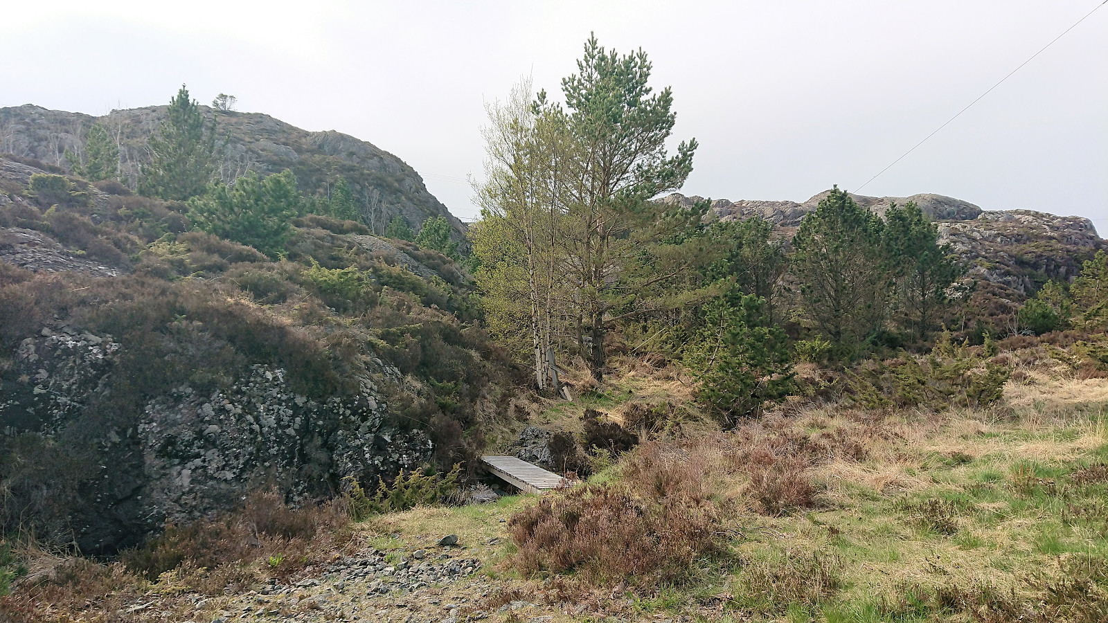
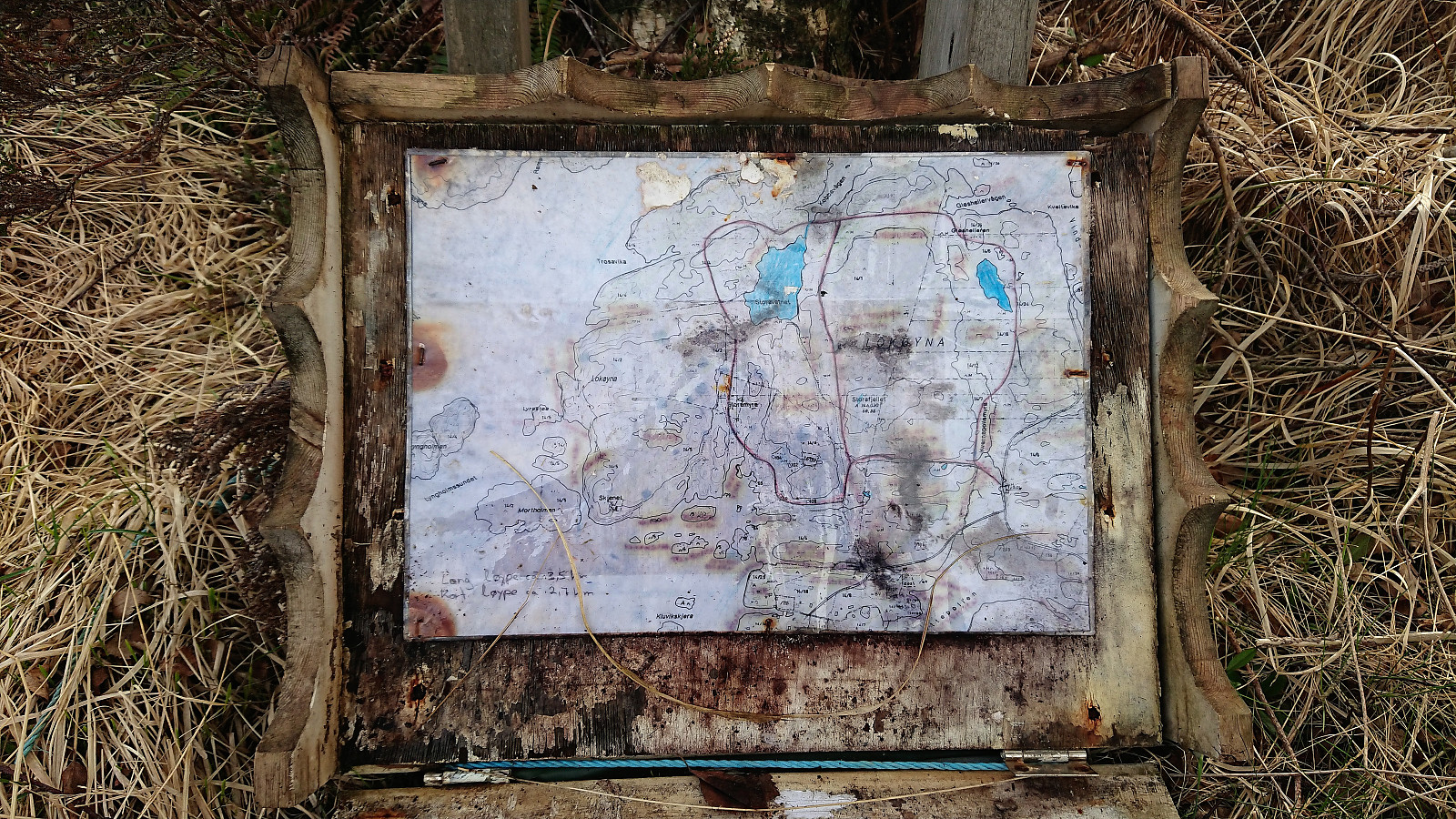
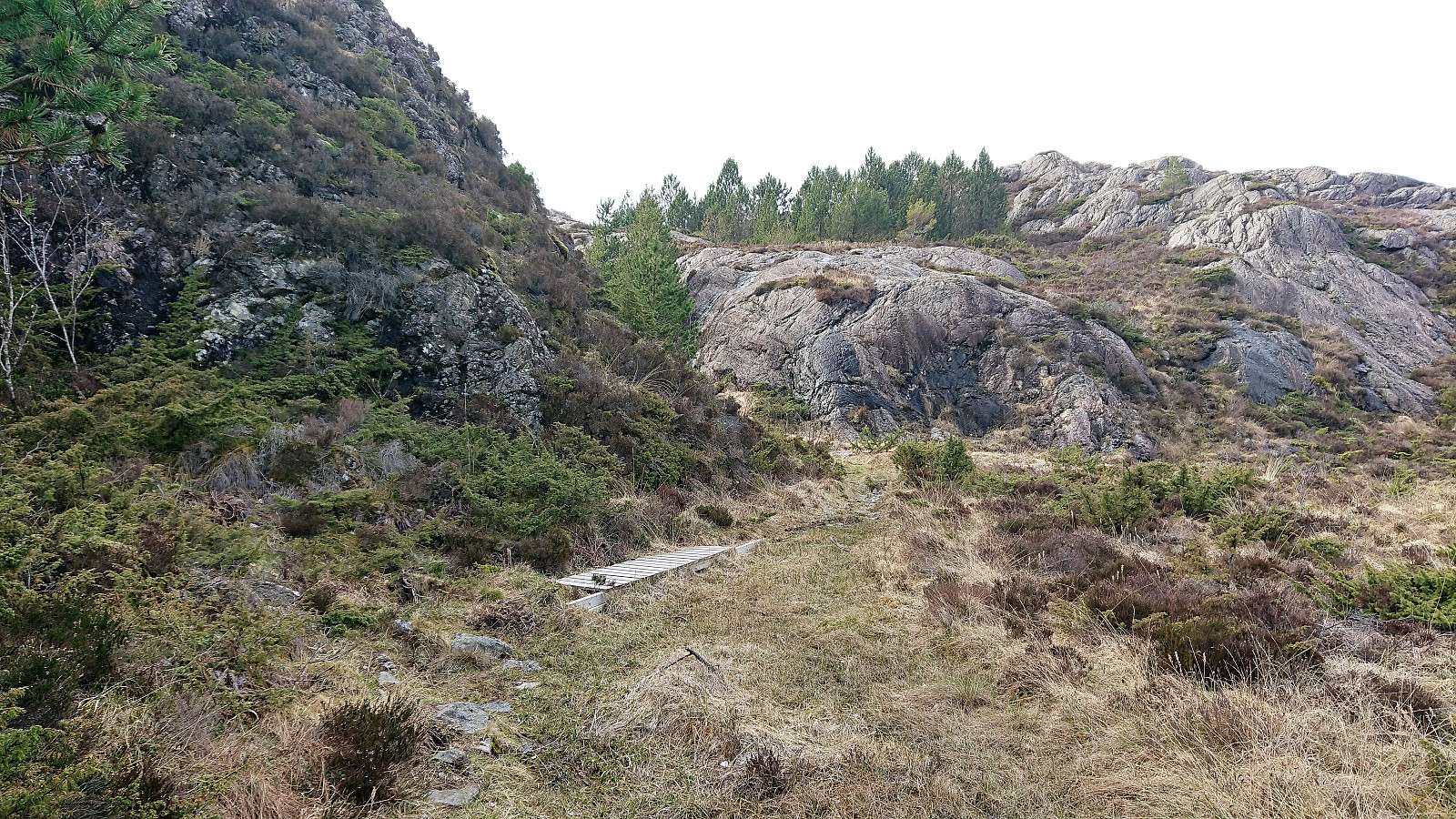
The trailhead did have an information sign, but it was quite deteriorated and fallen to the ground. Not much need for the information though, as the start of the trail was clearly indicated with a small wooden bridge, of which there were several on the way to the summit.
We managed to leave the main trail a bit too early though, taking what looked like a weaker trail/shortcut heading north. This trail however quickly disappeared and we had to make our own way to the summit. But we soon reconnected with the main trail and another small wooden bridge.
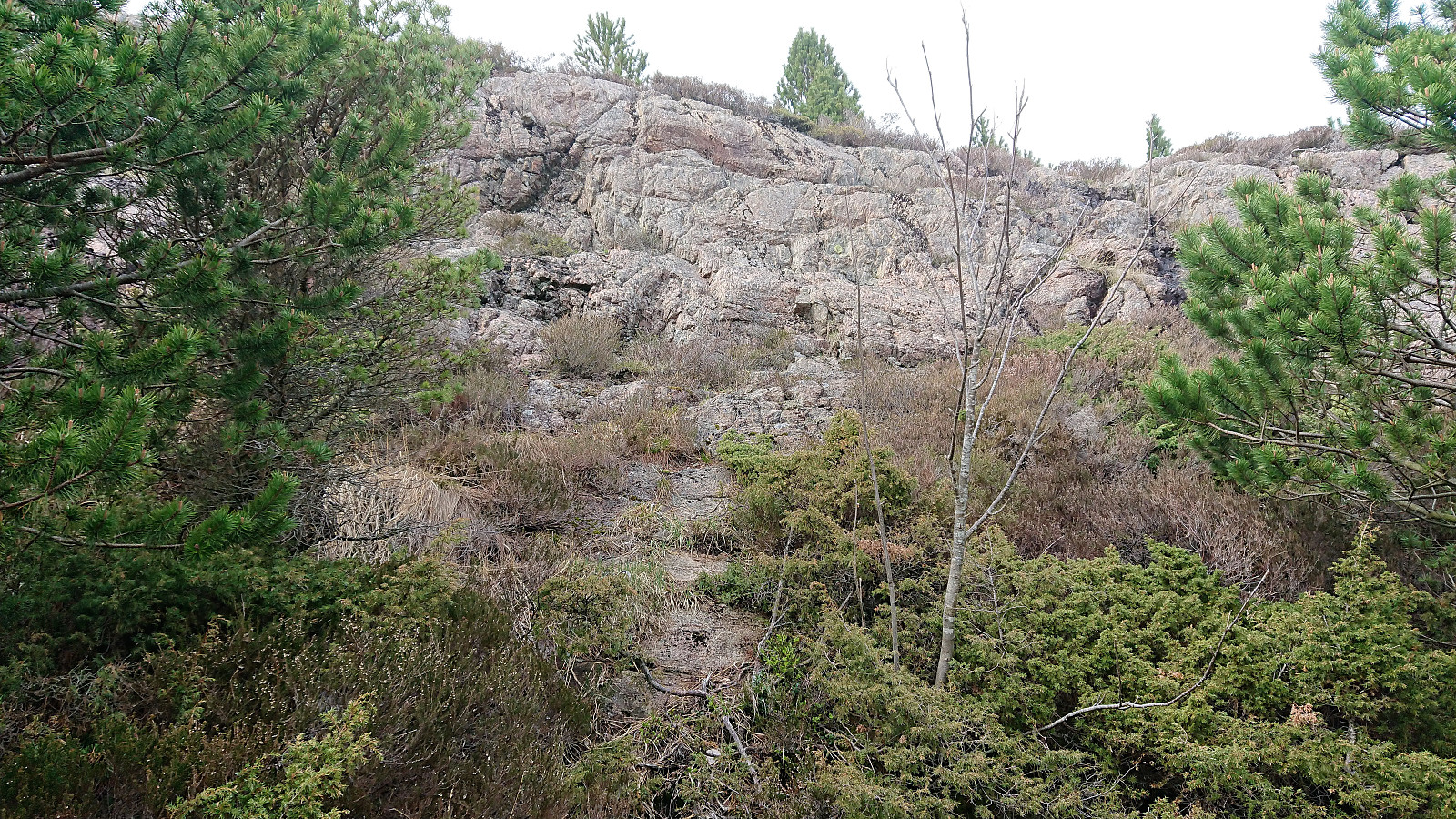
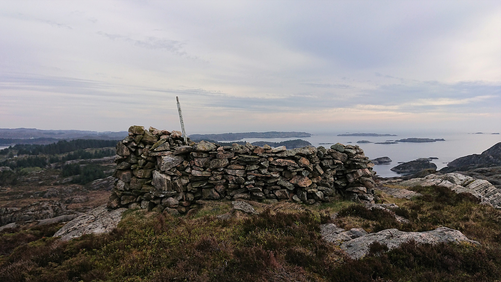
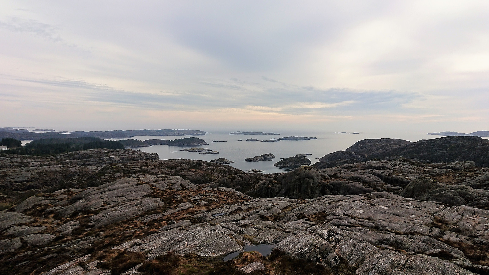
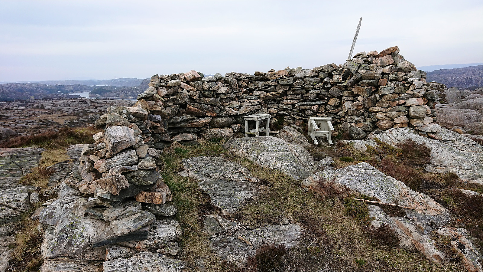
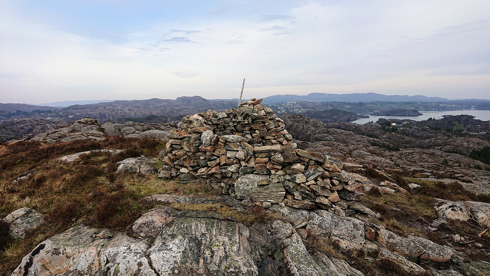
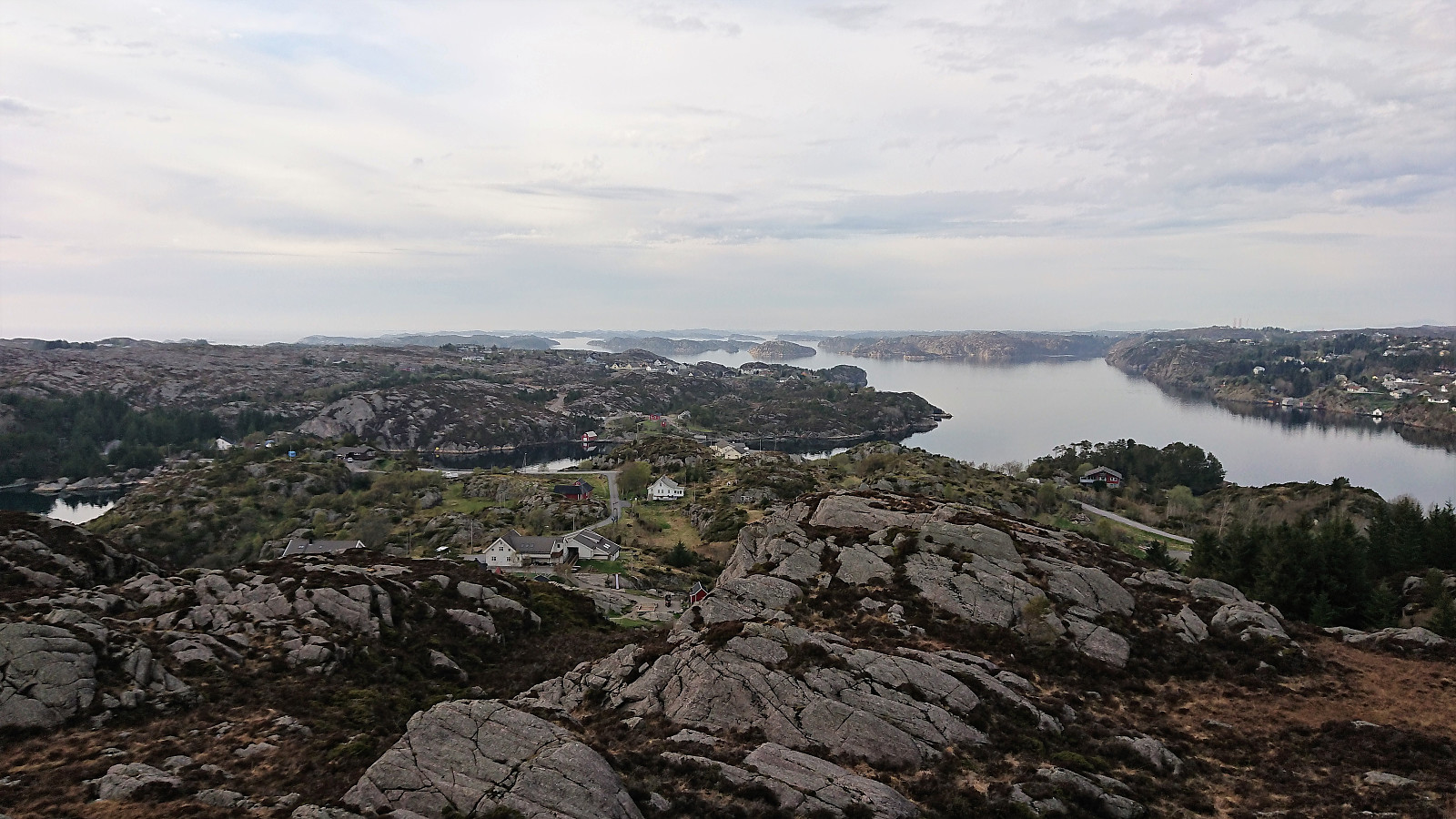
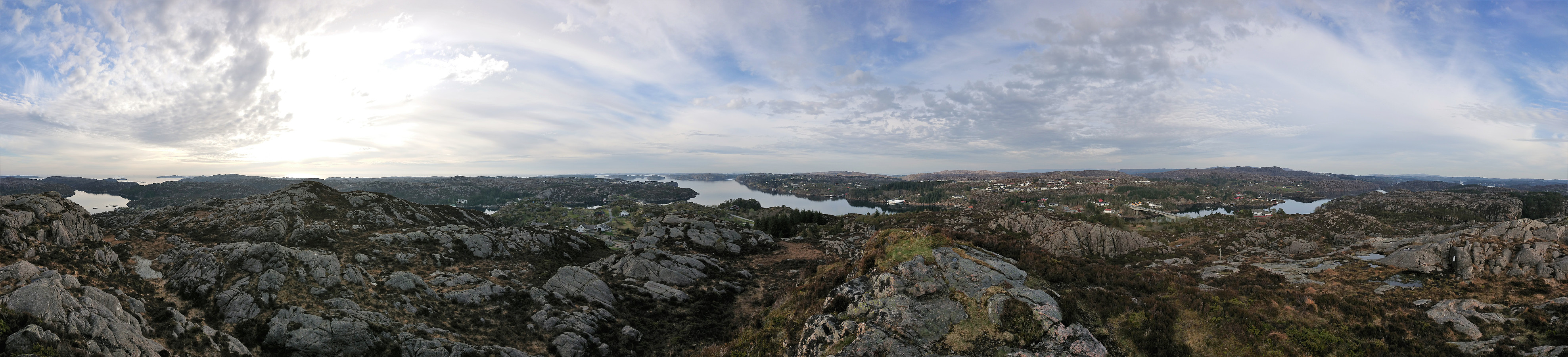
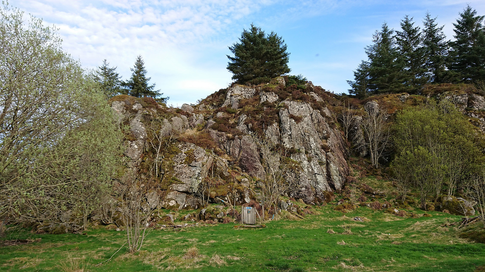
Overall, the trail was rather weak in between the wooden bridges, but it was still straightforward to reach the summit, which was marked by a large cairn/stone wall and provided excellent views in all directions. From the summit we more or less followed the same route back the road, but this time following the (more) proper trail. Although it was still weak at times, it was overall better than the route used for the ascent.
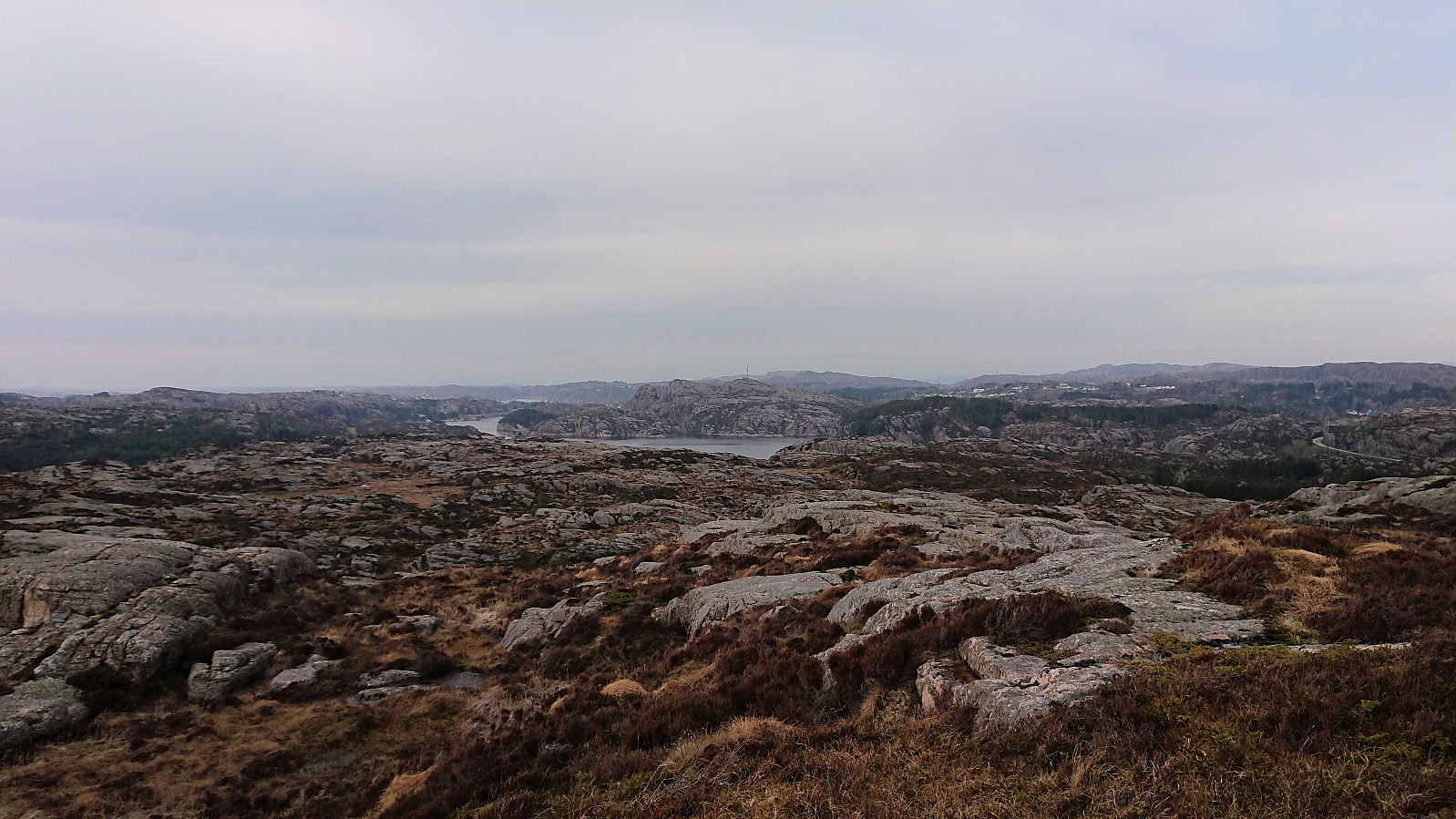
We then walked north along the road towards the second goal of the hike: Ørnhaugen, the tallest peak at Langøyna, 79 meters above sea level. No sidewalks, but also very few cars, and nice views along the way.
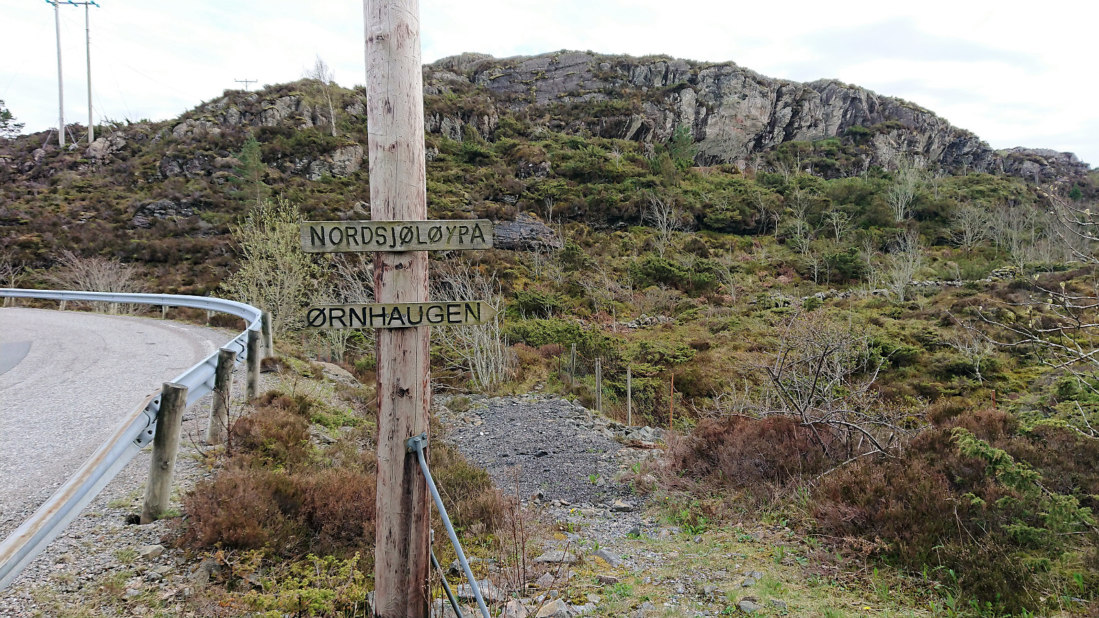
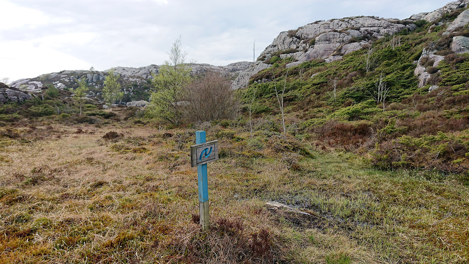
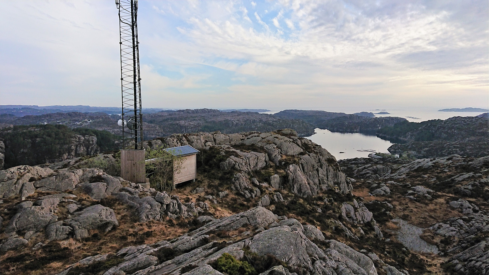
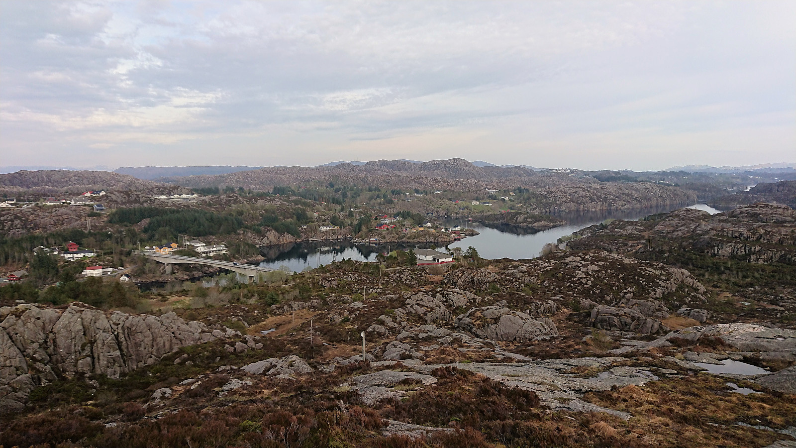
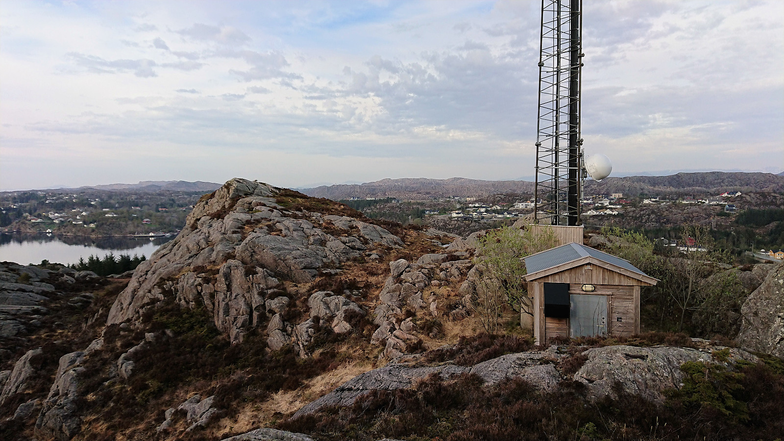
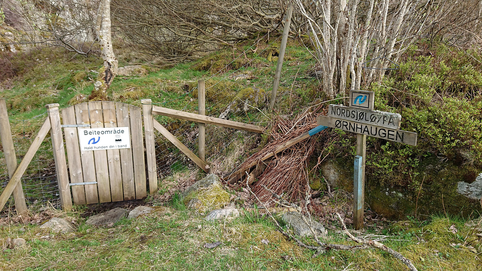
At Austra Langøyvågen we came across the marked trail to Ørnhaugen, as part of Nordsjøløypa, and started west on what turned out to be a very wet trail. It did improve slightly along the way, and especially towards the summit, but overall felt more like a stream than trail. The summit area was indicated by a large antenna, but the highest point was just to the northeast of the antenna. Excellent views in all directions, especially west towards Algrøyna.
Given the poor quality of the trail used for the ascent, we decided to try the alternative trail heading north at the crossroads below the summit for our descent, but the quality was equally bad or worse, in other words very wet, only improving slightly towards the end as we climbed down to the road, where the trailhead was also marked in the opposite direction. All that remained was now to walk to the main road at Skålevik before catching the bus back to Bergen.
Overall, a nice short hike with excellent views towards the sea. Only Storafjellet can really be recommended though, as the trail quality to Ørnhaugen left a lot to be desired. The views from Storafjellet were also perhaps slightly better than from Ørnhaugen.

| Startzeitpunkt | 07.05.2018 17:24 (UTC+01:00 SZ) |
| Endzeitpunkt | 07.05.2018 20:06 (UTC+01:00 SZ) |
| Gesamtzeit | 2h 42min |
| Zeit in Bewegung | 2h 25min |
| Pausenzeit | 0h 16min |
| Gesamtschnitt | 2,6km/h |
| Bewegungsschnitt | 2,9km/h |
| Entfernung | 7,0km |
| Höhenmeter | 291m |


Benutzerkommentare