
Hoklane, Hæddena and Orrkleivhaugen (05.05.2018)

Written by hbar (Harald Barsnes)

| Start point | Blom (44m) |
|---|---|
| Endpoint | Herland (42m) |
| Characteristic | Hillwalk |
| Duration | 4h 30min |
| Distance | 11.9km |
| Vertical meters | 908m |
| GPS |
|
| Ascents | Hoklane (484m) | 05.05.2018 |
|---|---|---|
| Hæddena (462m) | 05.05.2018 | |
| Orrkleivhaugen (360m) | 05.05.2018 |
Hoklane, Hæddena and Orrkleivhaugen

Hoklane
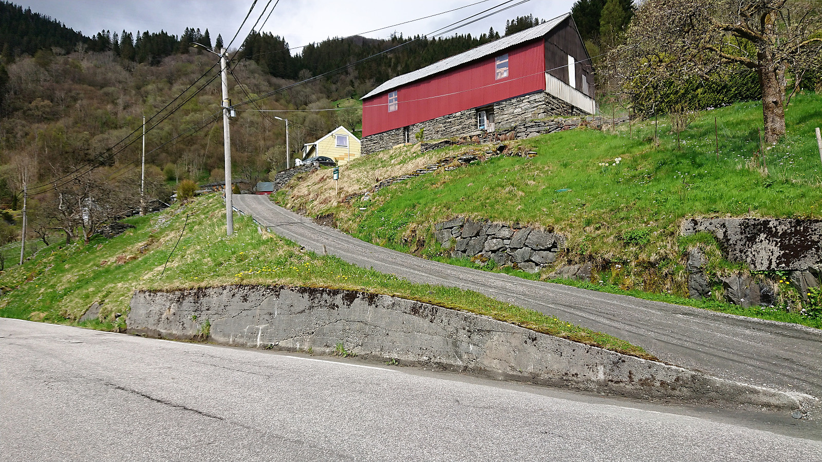
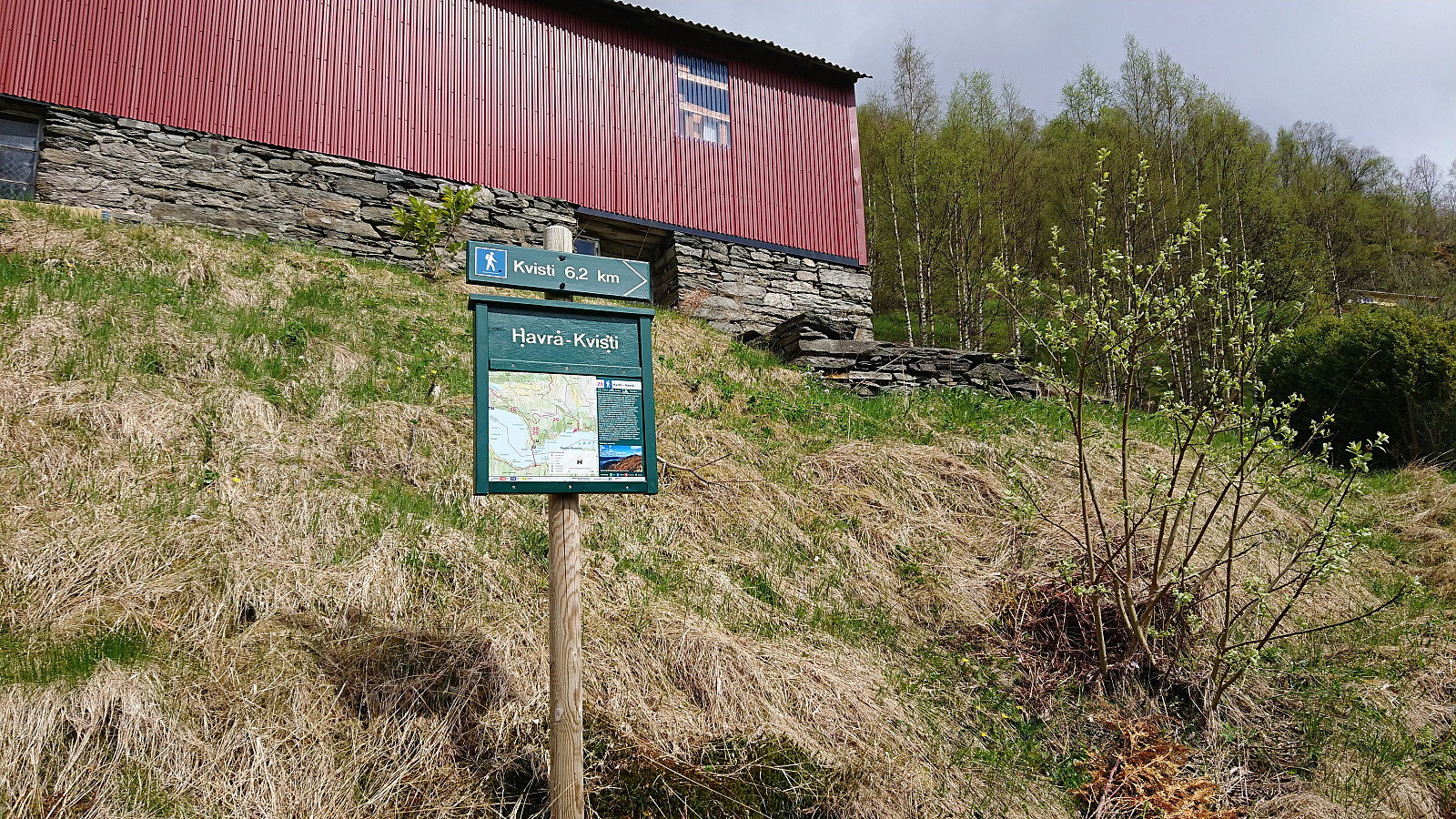
Started by taking the bus to Blom (bus stop "Blom sør") and easily located the information sign indicating the start of the trail. However I still ended up missing my exit and made a short detour in the direction of Havrå before realizing my mistake. (Basically one has to take the first left up towards the small yellow house.)
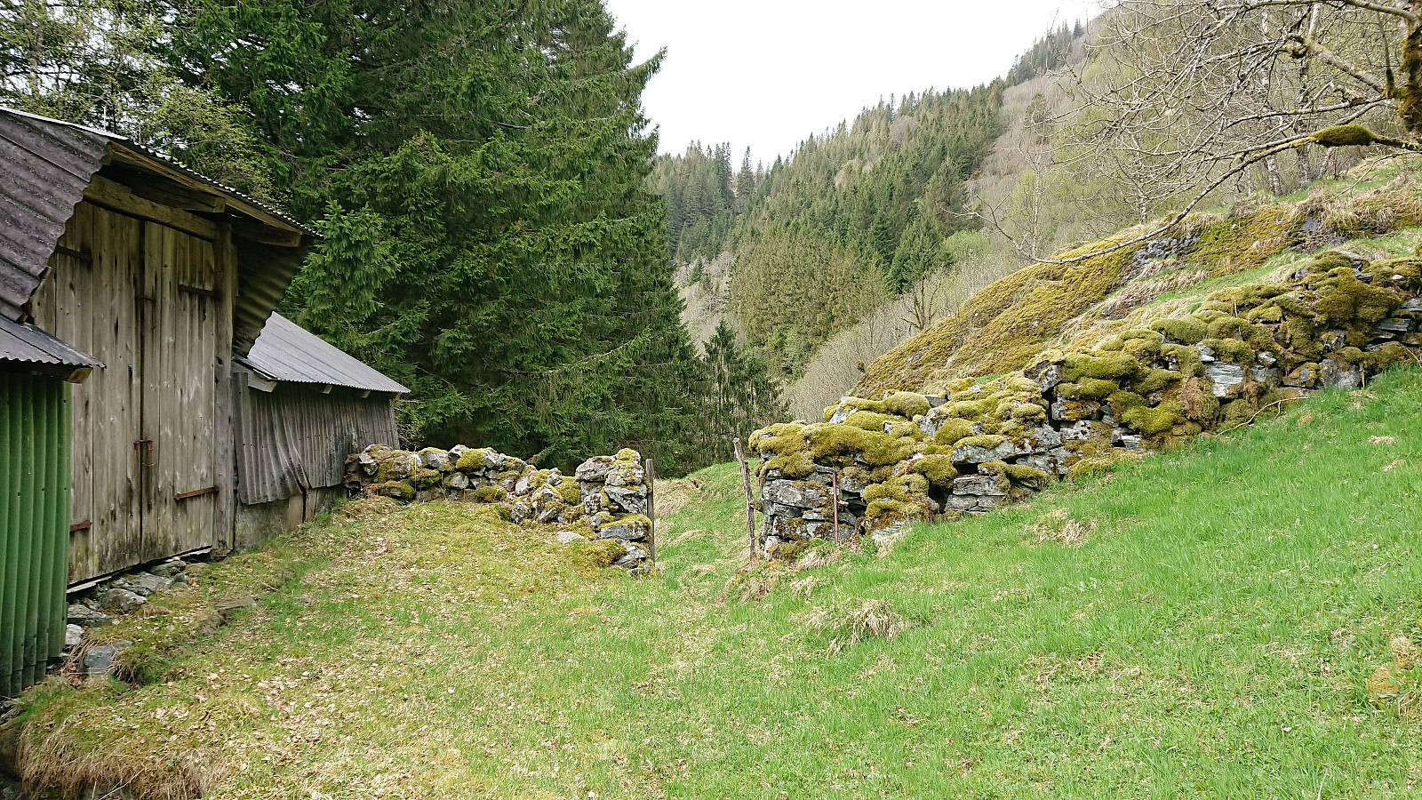
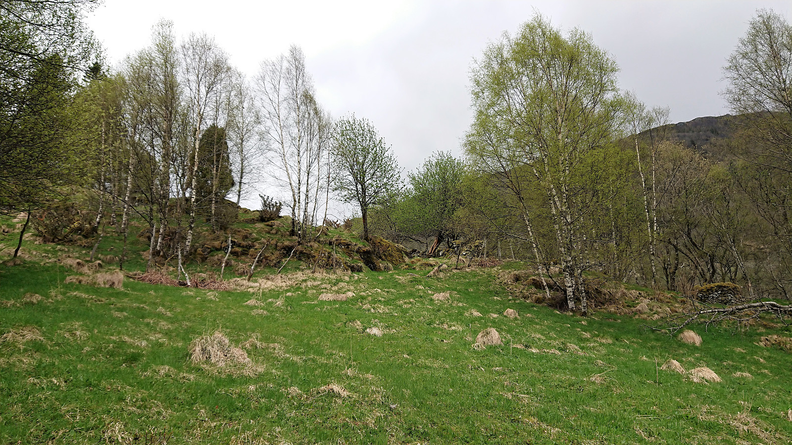
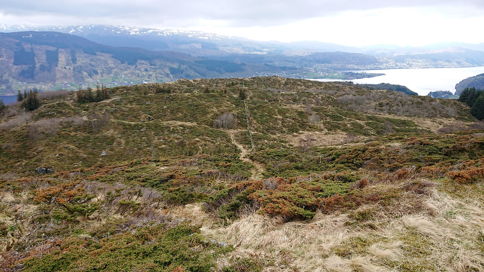
The nice trail/road took me up to the small barn indicated on the map, but here the trail also more or less disappeared. But by continuing upwards in the direction the map said the trail ought to be, the trail soon became much clearer, and I arrived at a crossroads where it was possible to follow a tractor road in the direction of Såtefjellet. This was not my goal today, so I rather continued north along the trail.
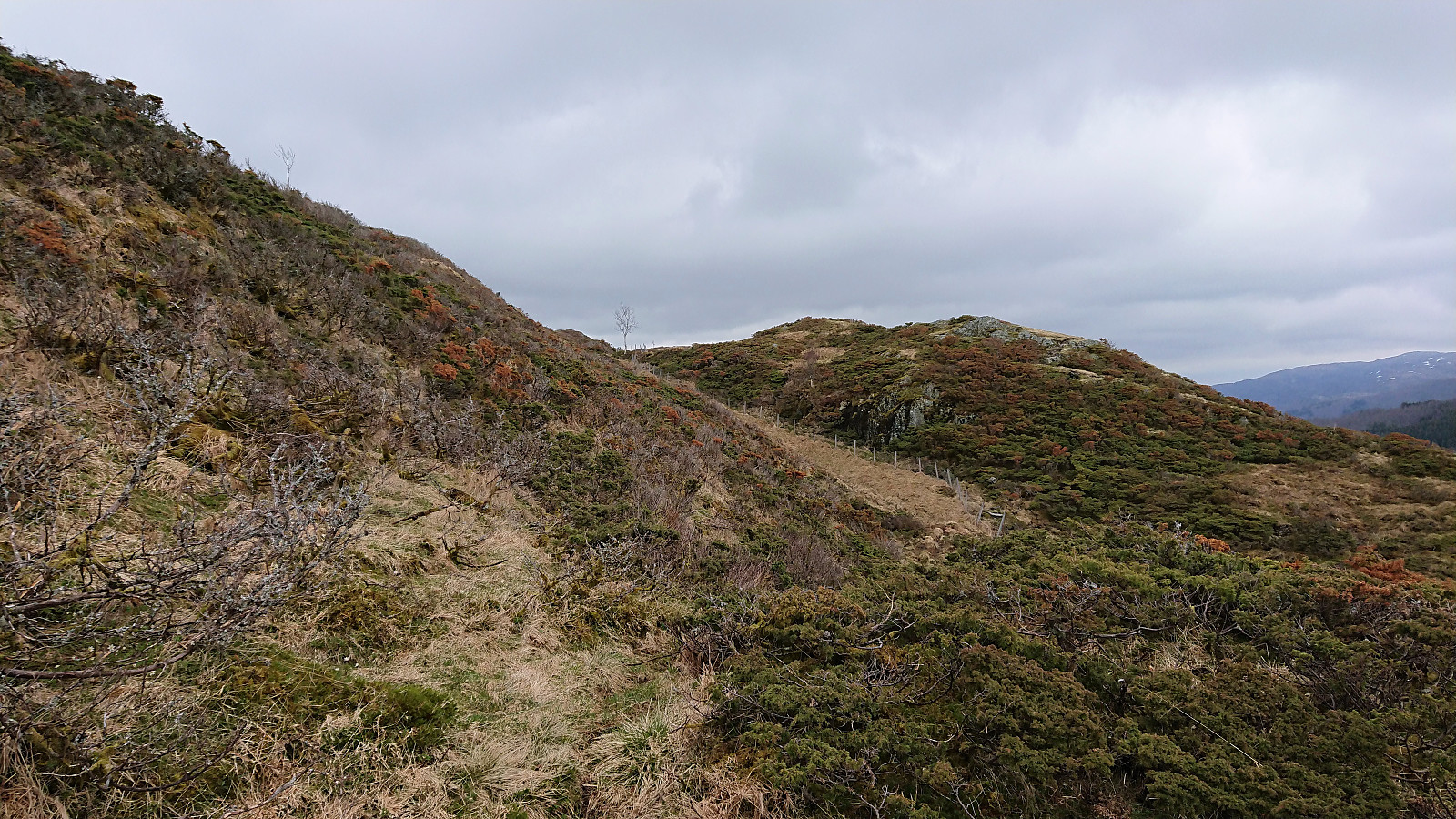
But once again I missed my exit and had to backtrack to locate the trailhead for Hoklane. This time I will take the whole blame though, as the trail continuing west was a much more obvious choice than the very weak trail heading north, and even though the trail was indicated on the map, it quickly disappeared and was replaced by various animal tracks.
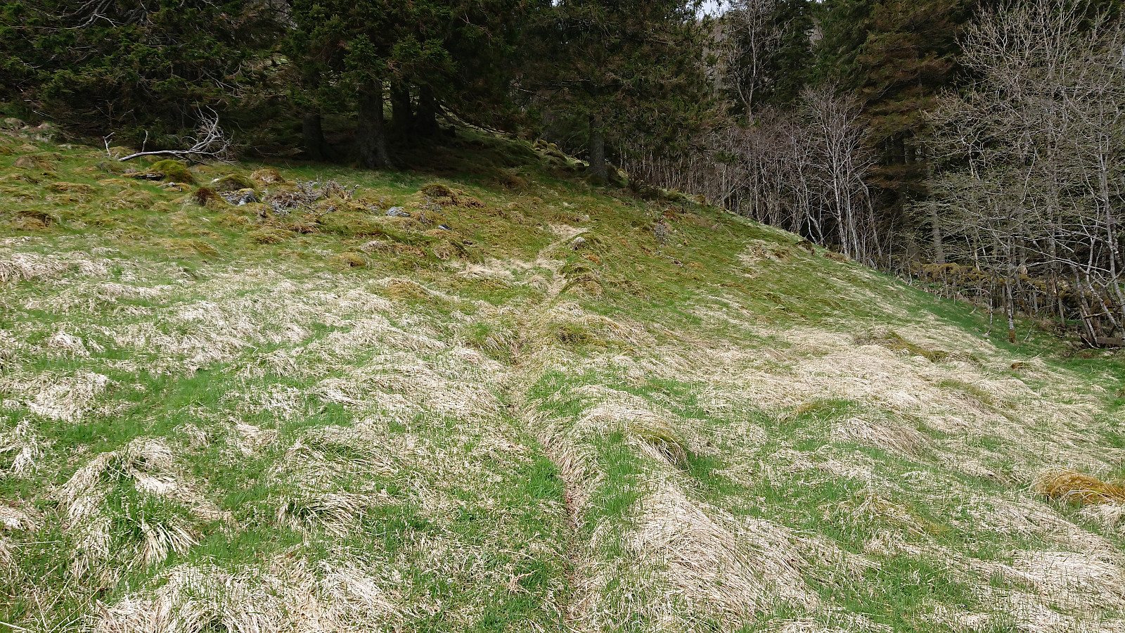
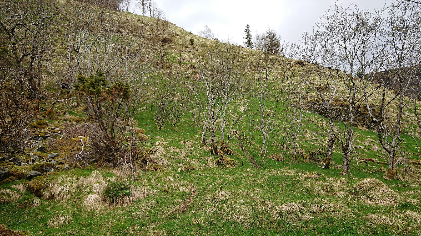
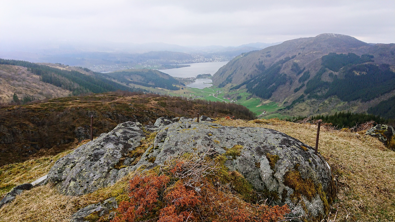
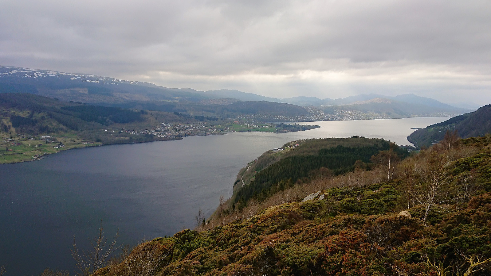
The animal tracks made it slightly easier to ascend, but the steep terrain and the dense vegetation (first trees and then low bushes) made the hiking anything but pleasant. Thankfully it did improve as I got closer to the summit, but only towards the end. The views from the summit were nice, but the low-hanging clouds reduced the visibility significantly. Combined with strong winds and light rain, this resulted in a short stay before retracting my steps back down where I left the proper trail.
Hæddena
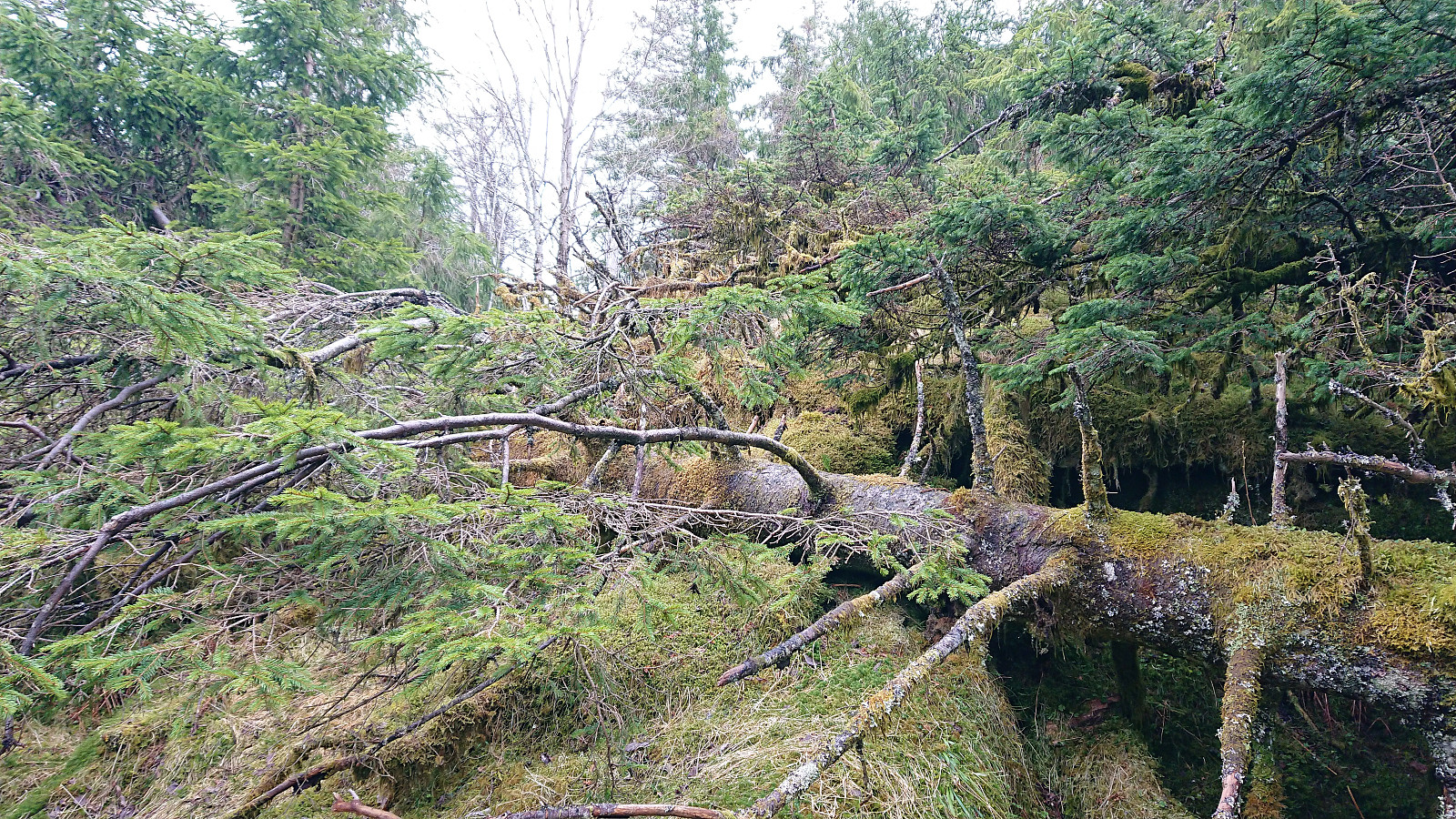
I was now finally back at a real trail and heading for Hæddena, but this did not last long, as I ended up losing the trail (or the trail disappeared) shortly after crossing the small stream. Decided to continue northeast up Blomaskaret anyway, hoping that I would happen upon a trail or animal track heading in the wanted direction. This resulted in a wet but otherwise straightforward ascent to the top of Blomskaret.
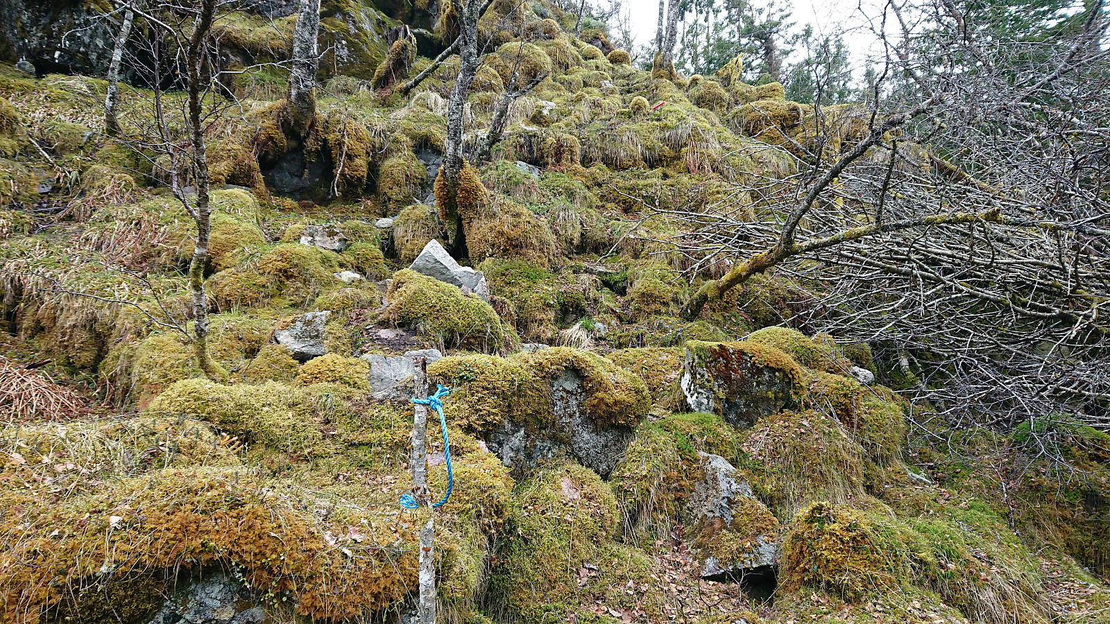
Here I noticed a blue rope tied to a tree, which I thought maybe indicated a trail. But for some unknown reason, I continued a bit further before starting my ascent, looking for an even better option. This turned out to be a mistake and required climbing both over and under lots of fallen trees before finally connecting with the marked trail. In other words, don't ignore the blue rope...
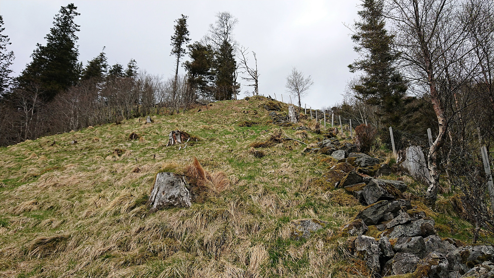
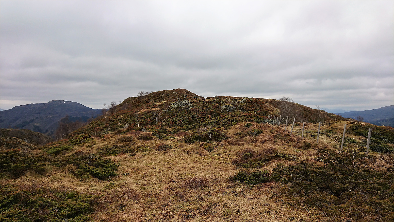
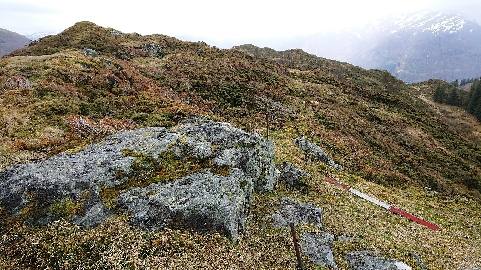
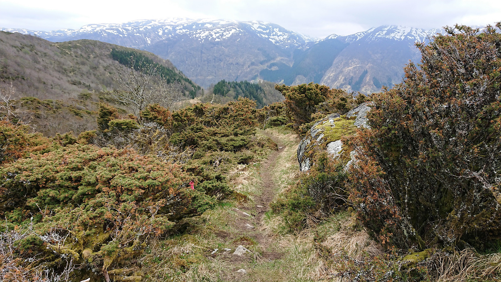
The trail was now marked all the way to the summit, but not very consistently, both with regards to the length between the markers and the type/color of the markers (ranging from blue rope, via red plastic tubes, to wooden sticks). Luckily the direction was now pretty obvious, and I soon found myself at the summit area. The highest point was not very clear, so I walked around a bit to ensure that I had been at the real summit. Nice views, but again limited by the low-hanging clouds.
Orrkleivhaugen
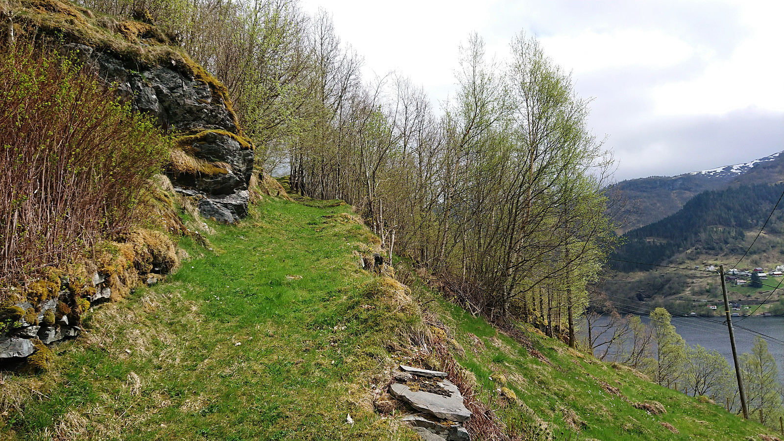
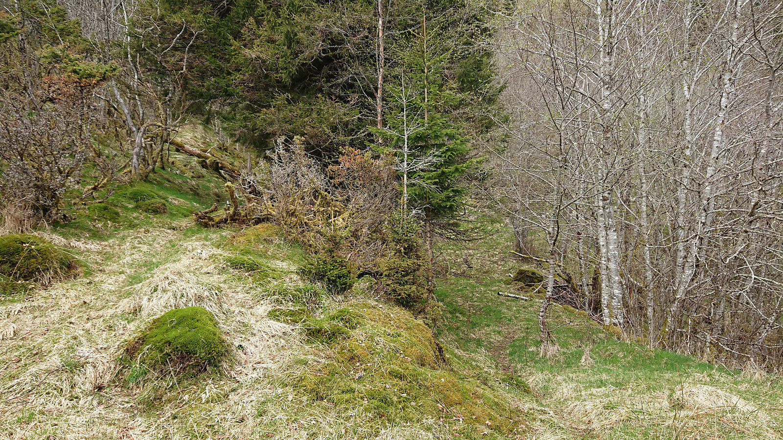
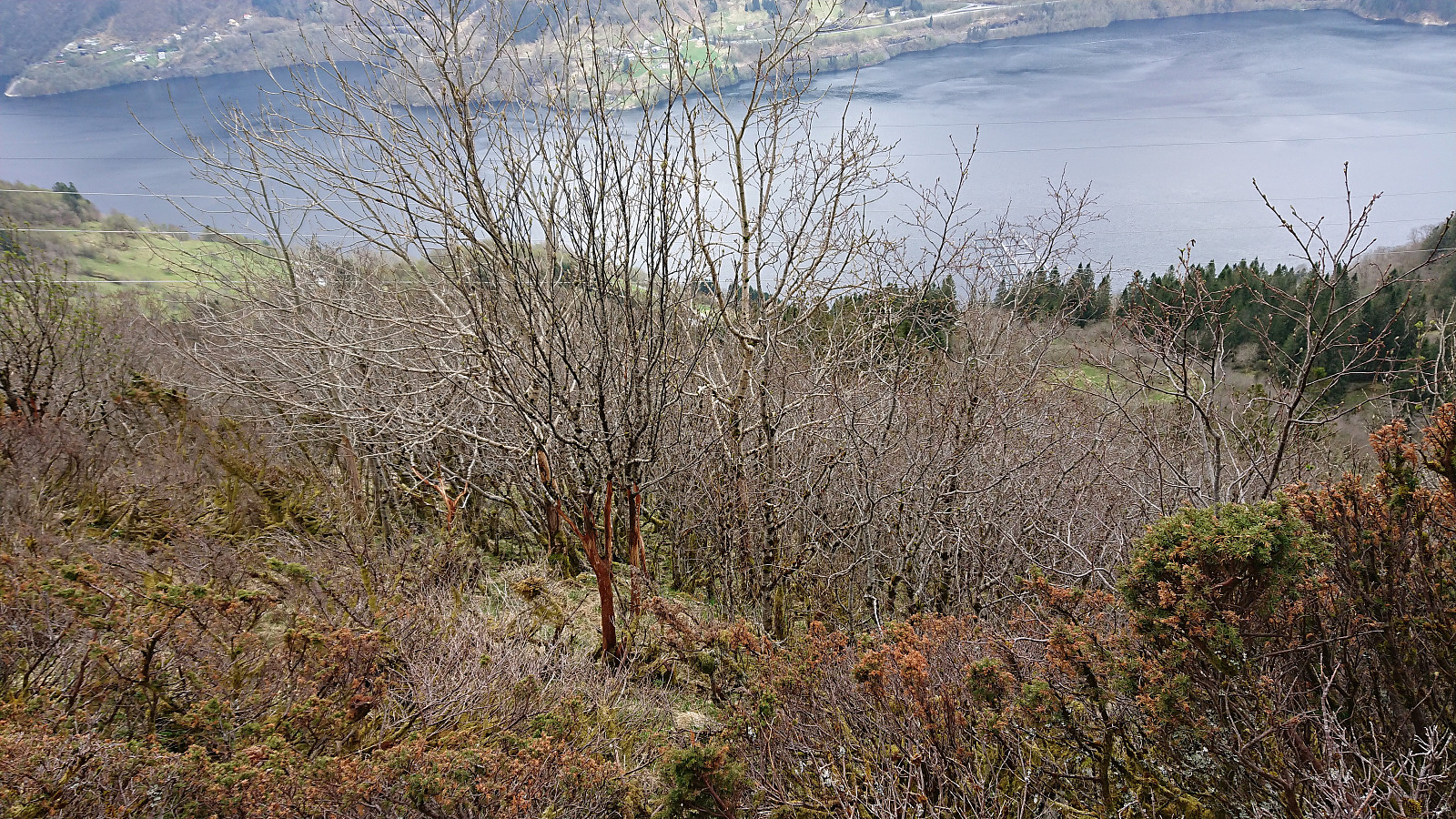
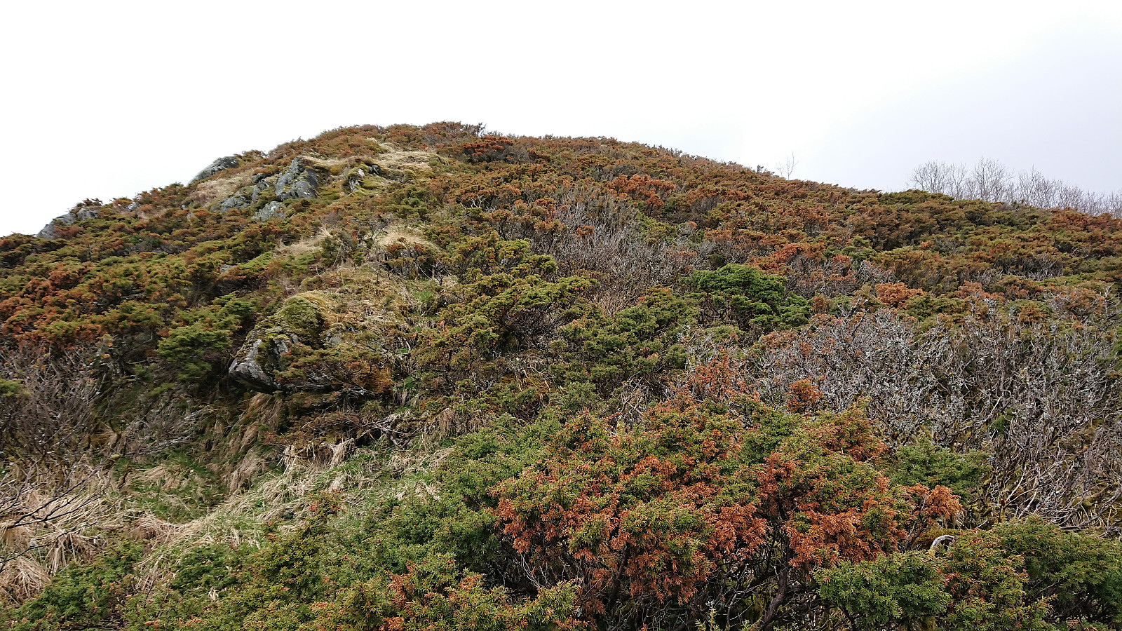
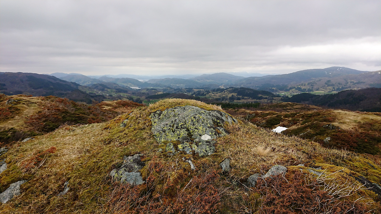
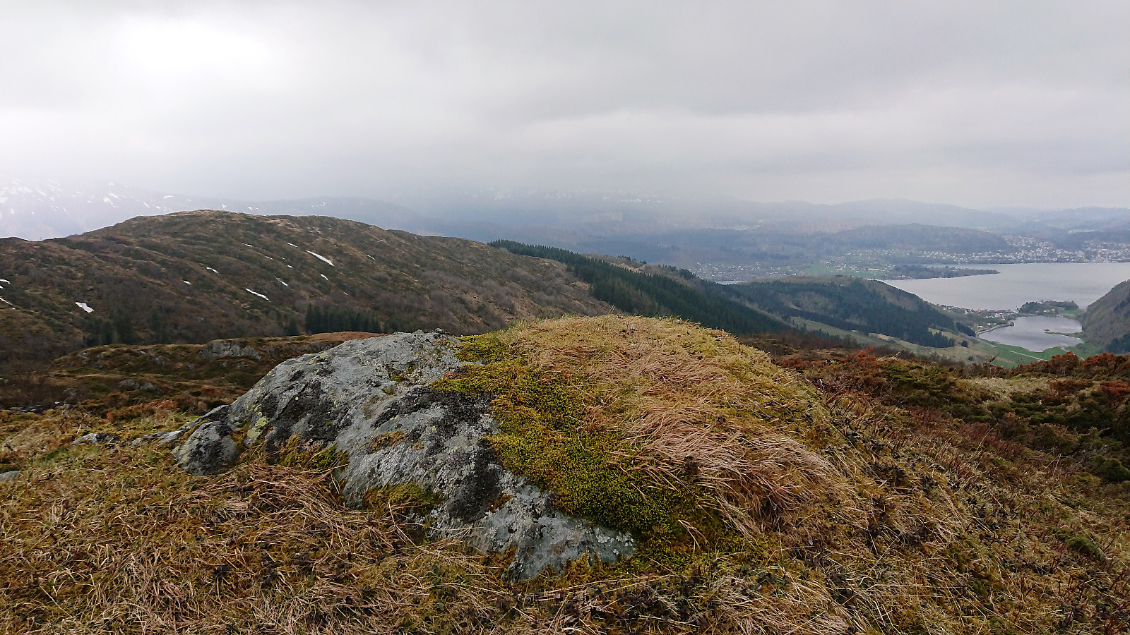
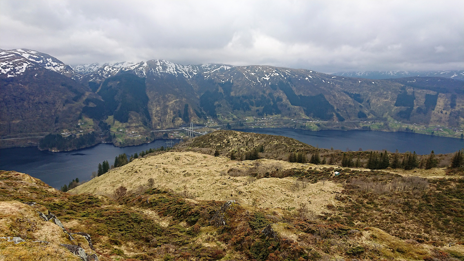
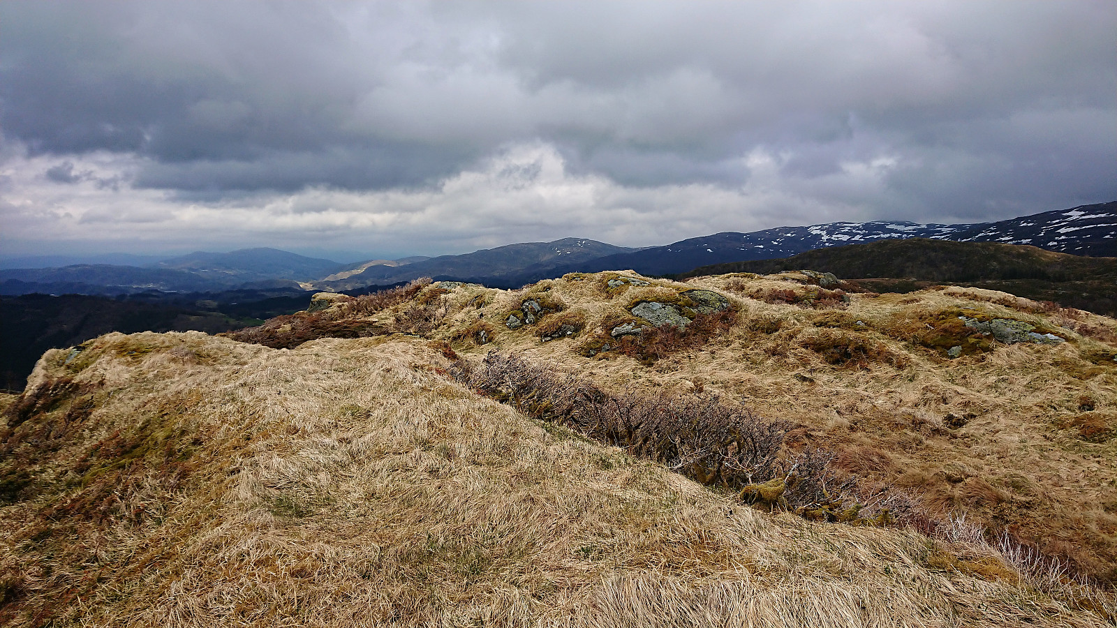
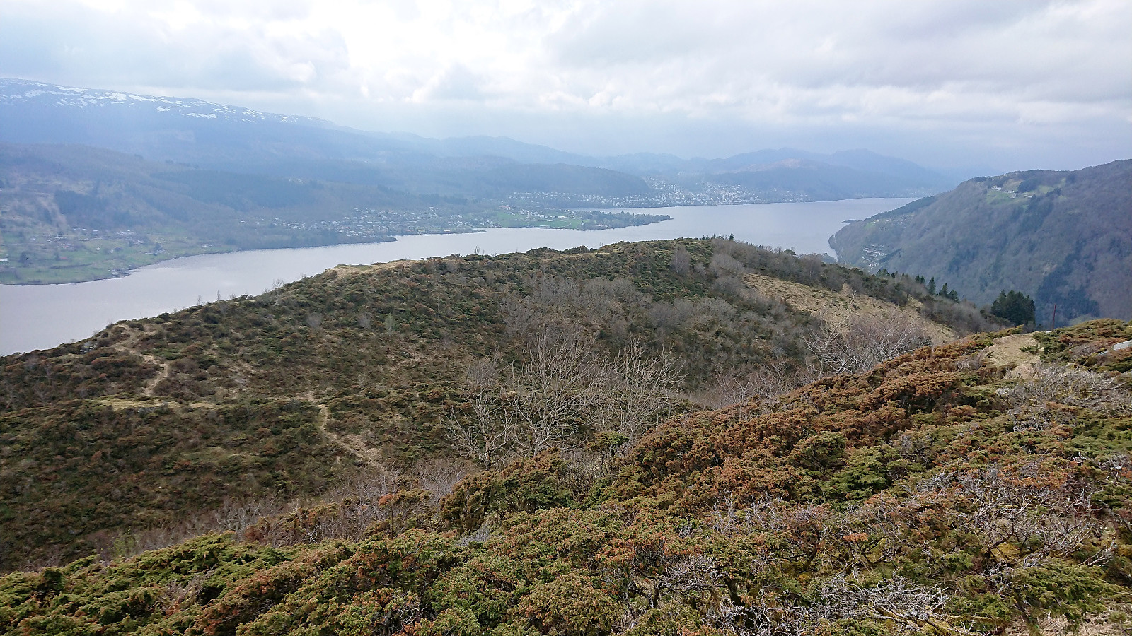
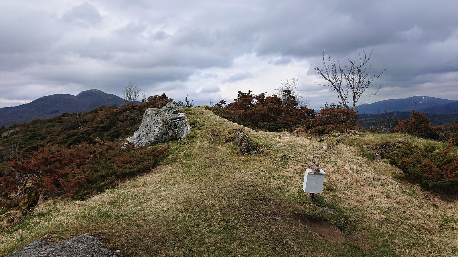
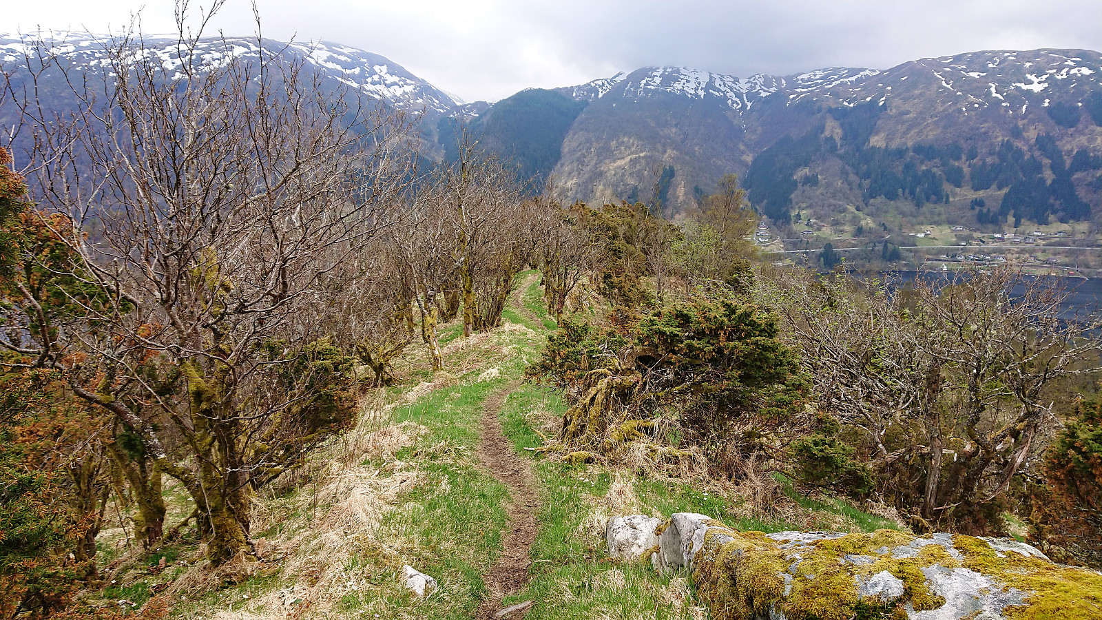
From Hæddena I continued west along the trail to Orrkleivhaugen. When passing over Snøya I took a wrong turn and had to struggle a bit to relocate the trail, but from there onwards the trail was nice and easy to follow. It did however include a relatively steep descent, so it's probably recommended to stay on the trail. Orrkleivhaugen provided excellent views and also the first visitor register of the day.
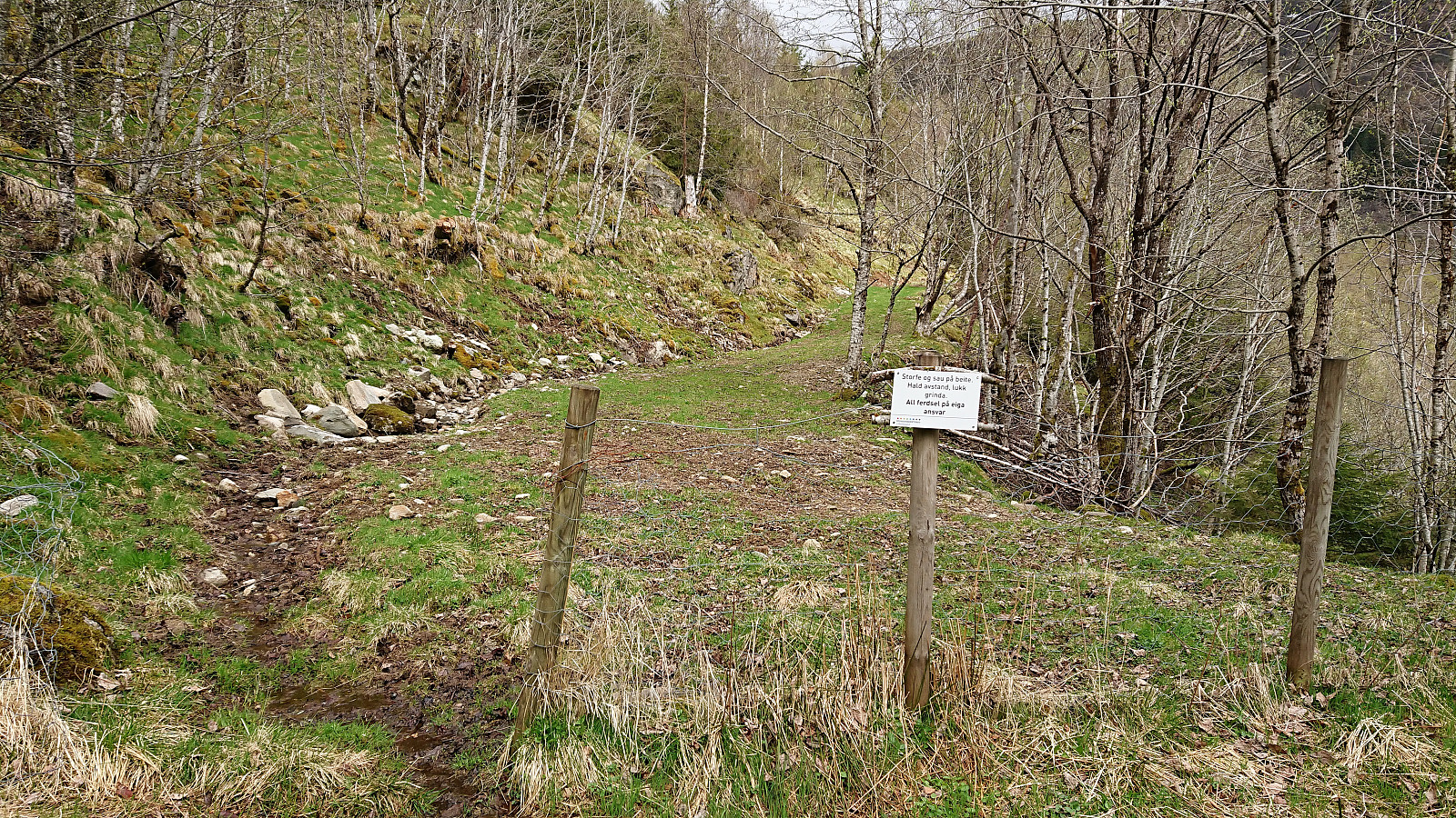
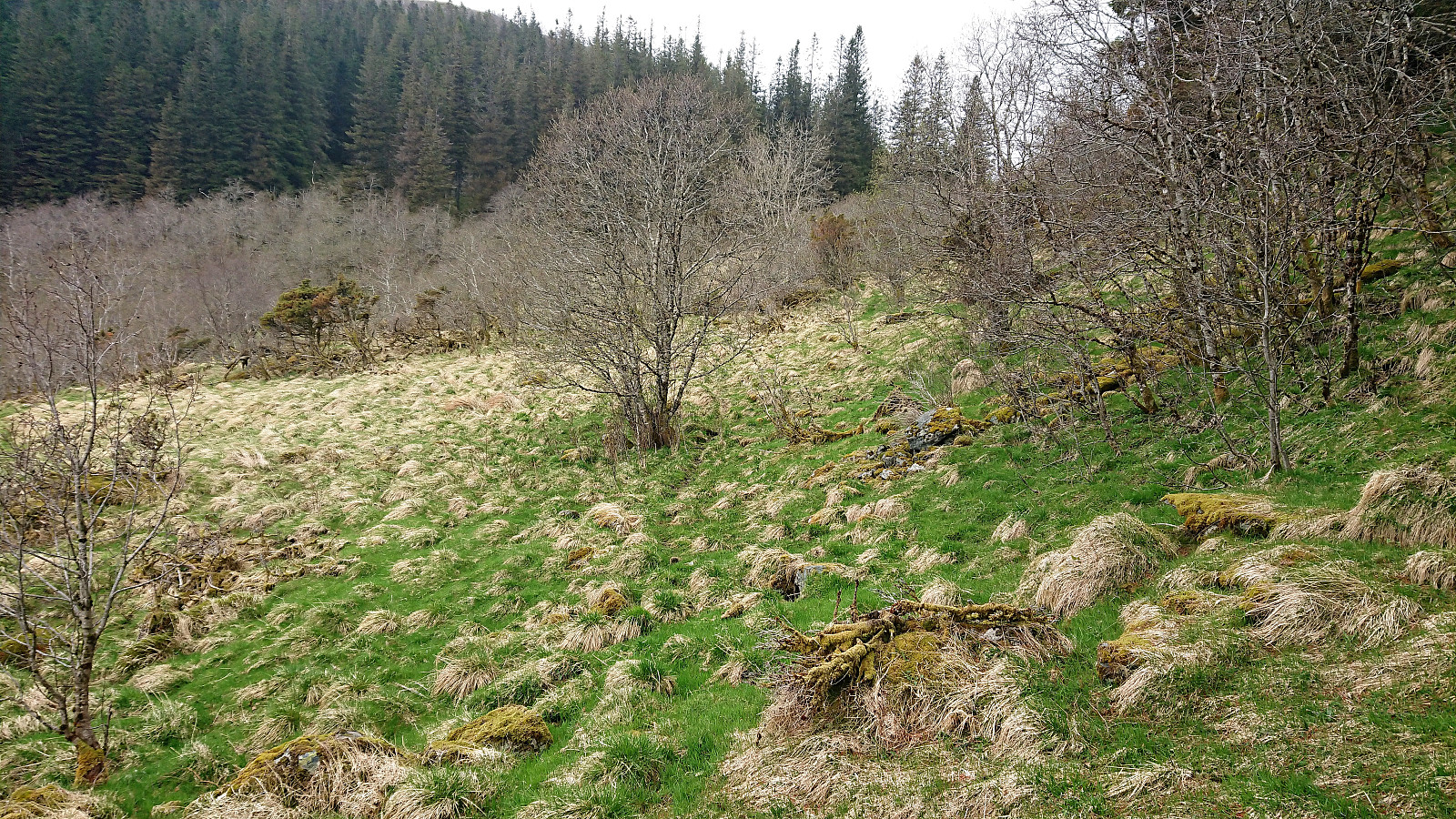
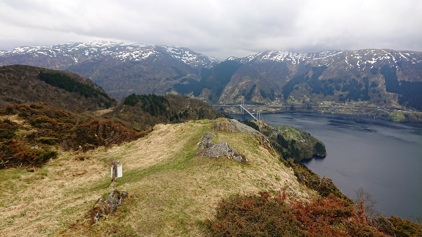
All that now was left was to find a way down to Osterøybroen. And even though the map indicated a trail in that direction, it did stop 200 meters short, and I was therefore uncertain whether it would even continue or how much climbing would be involved if it did not. The start of the trail south was however very promising. It was even marked, and clearly more heavily used than most of the trails I had been using for most of the hike.
To my surprise the quality of the trail was excellent all the way down to the main road, although I did not end up where I thought I would. I had assumed that the trail would follow the ridge all the way to Bruvikveien, but instead it turned west, and later north, before finally connecting with the main road to Haus just west of the small tunnel.
This was overall very positive, but did mean that I was on the wrong side of a tunnel without any lighting or sidewalk for pedestrians. However, I did not see any signs indicating that walking was not allowed (and I did not see any alternative routes to the bridge). The traffic was also very limited and the tunnel only about 150 meters long. So after ensuring that no cars where approaching, I made a run for it, making it to the other side without meeting any cars. Probably not recommended without a torch and/or a safety vest though.
The hike was then concluded by walking across Osterøybroen to Herland. The original plan had been to catch the bus from here, but as the bus was still half an hour off, I was lucky enough to catch a ride instead. The buses were relatively frequent though, even on a Saturday evening.
Conclusion
This hike turned out very different from what I had imagined. I guess I should have learnt by now that even if a trail is indicated on the map, it does not necessarily indicate that the trail actually exists, or that it is of decent quality. And the other way around, there may be very nice trail where there are none indicated on the map!
The former was clearly the case for Hoklane, and partly for Hæddena, meaning that I will most likely not be visiting these two again. Orrkleivhaugen, and its excellent trail, was however a positive surprise, resulting in both a summit and a trail that I can highly recommend.
| Start date | 05.05.2018 13:40 (UTC+01:00 DST) |
| End date | 05.05.2018 18:11 (UTC+01:00 DST) |
| Total Time | 4h 30min |
| Moving Time | 4h 10min |
| Stopped Time | 0h 19min |
| Overall Average | 2.6km/h |
| Moving Average | 2.9km/h |
| Distance | 11.9km |
| Vertical meters | 908m |


User comments