
Skantane, Reppåsen and Grønhovda (29.04.2018)

Written by hbar (Harald Barsnes)

| Start point | Gåssandskiftet (58m) |
|---|---|
| Endpoint | Gåssandskiftet (57m) |
| Characteristic | Hillwalk |
| Duration | 5h 59min |
| Distance | 20.1km |
| Vertical meters | 794m |
| GPS |
|
| Ascents | Grønhovda (250m) | 29.04.2018 |
|---|---|---|
| Reppåsen (260m) | 29.04.2018 | |
| Skantane (261m) | 29.04.2018 | |
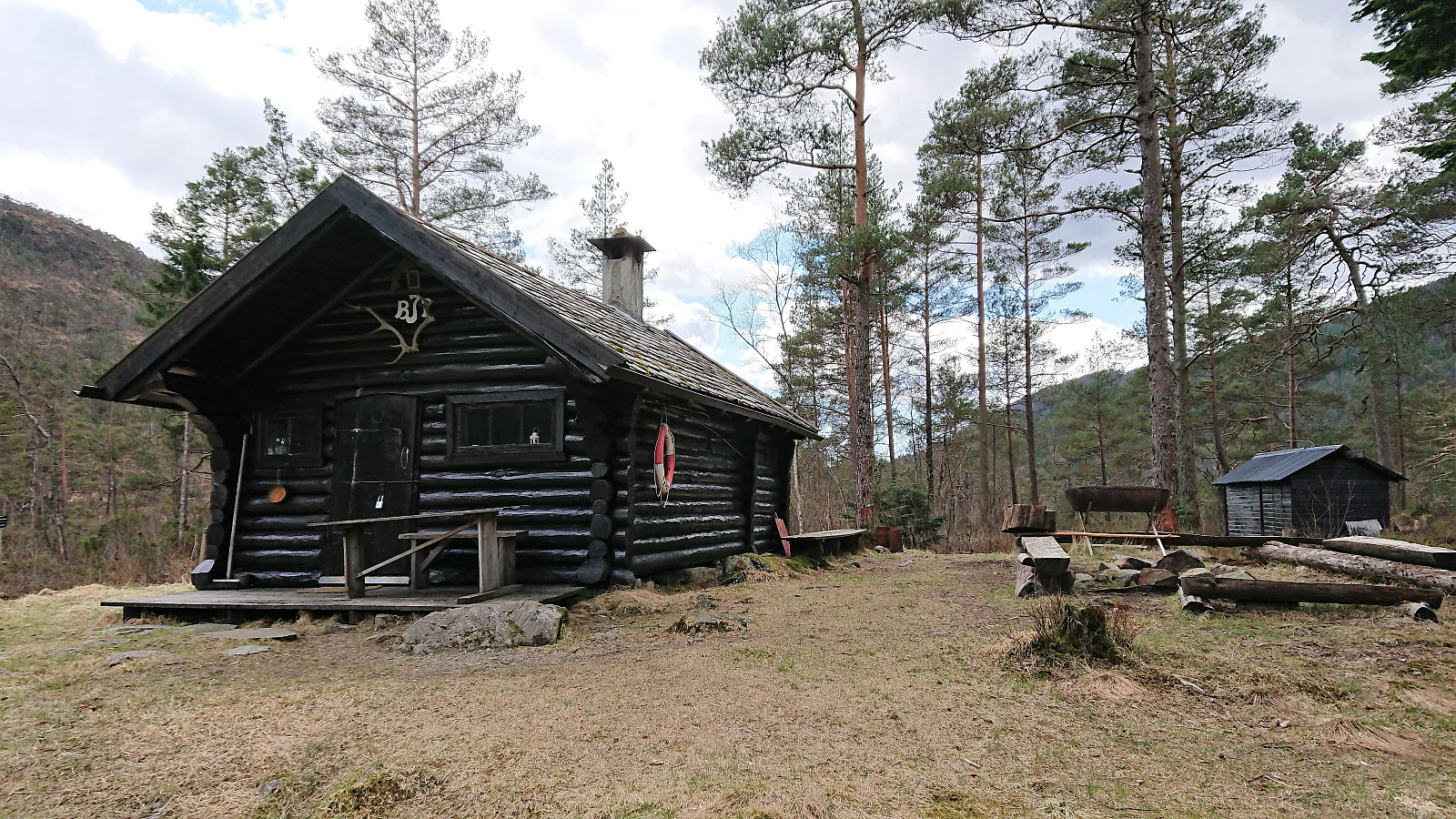
| Visits of other PBEs | BJF-hytten ved Raudlitjørna (66m) | 29.04.2018 |
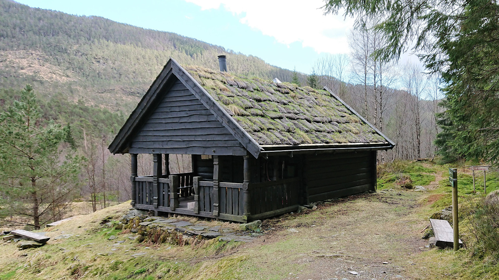
| Skantane gapahuk (252m) | 29.04.2018 | |
| Raudlistova (72m) | 29.04.2018 |
Skantane, Reppåsen and Grønhovda
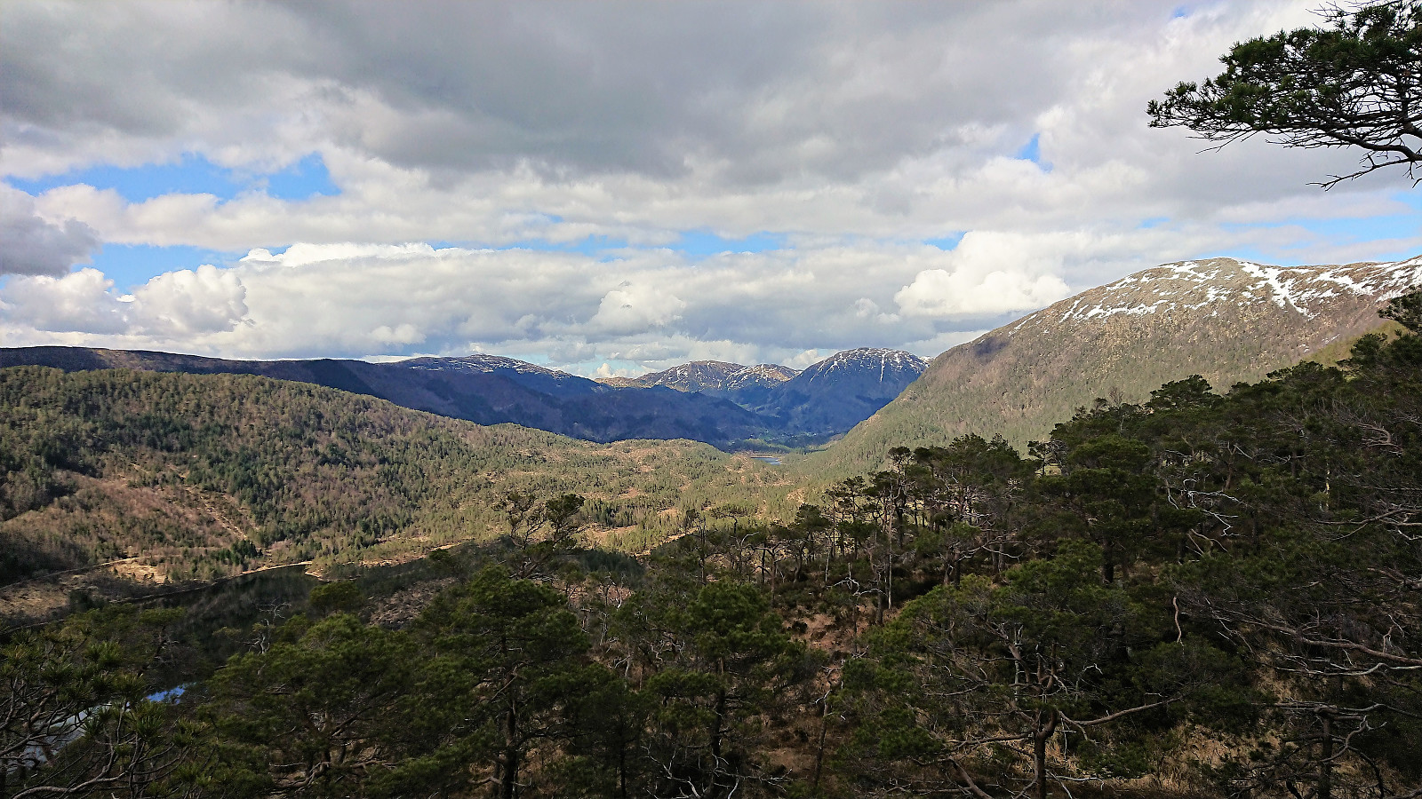
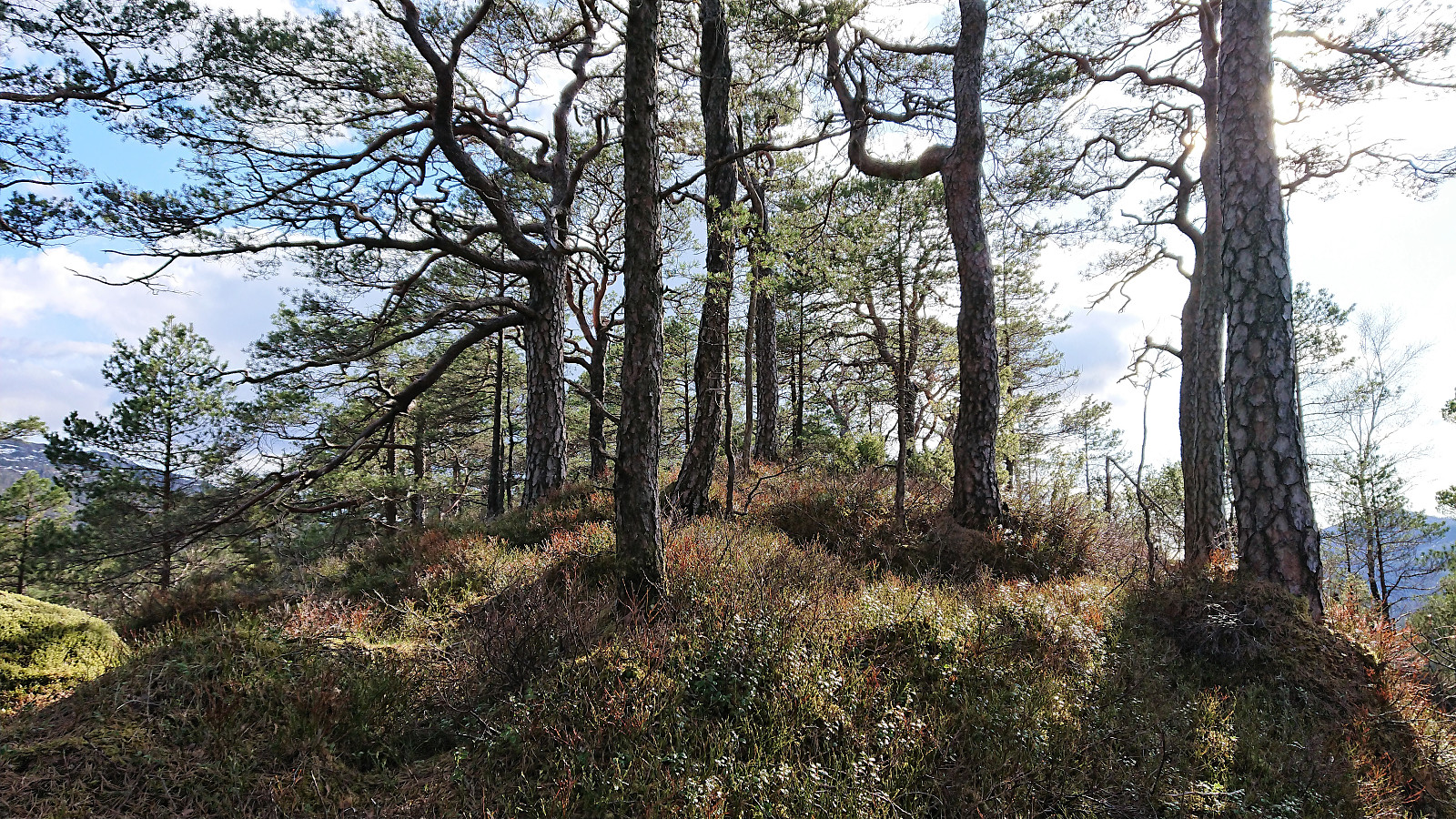
Skantane
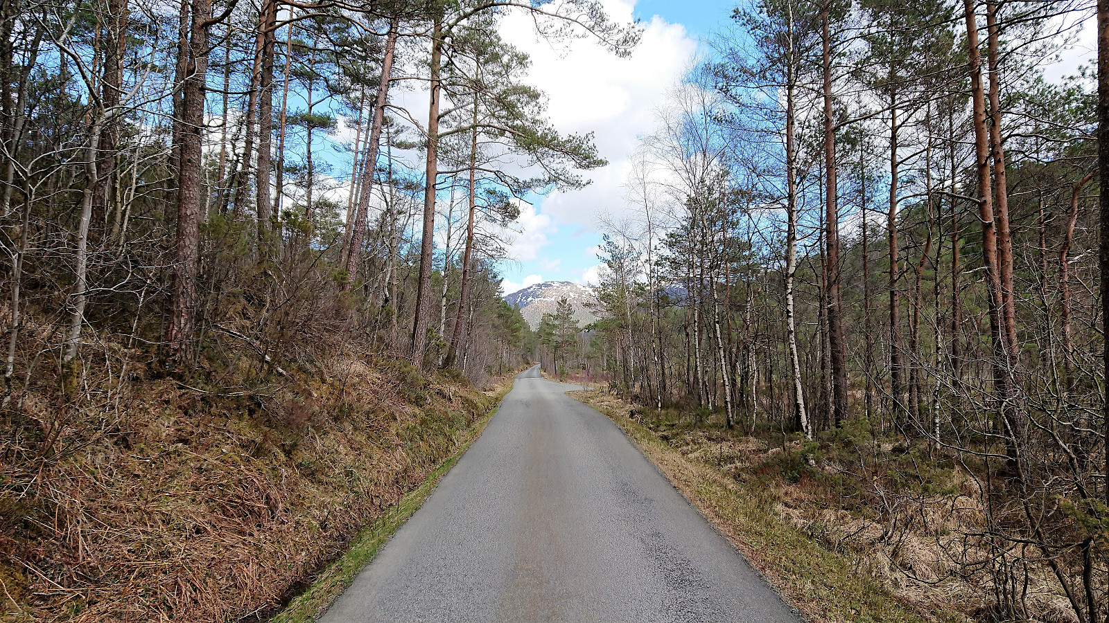
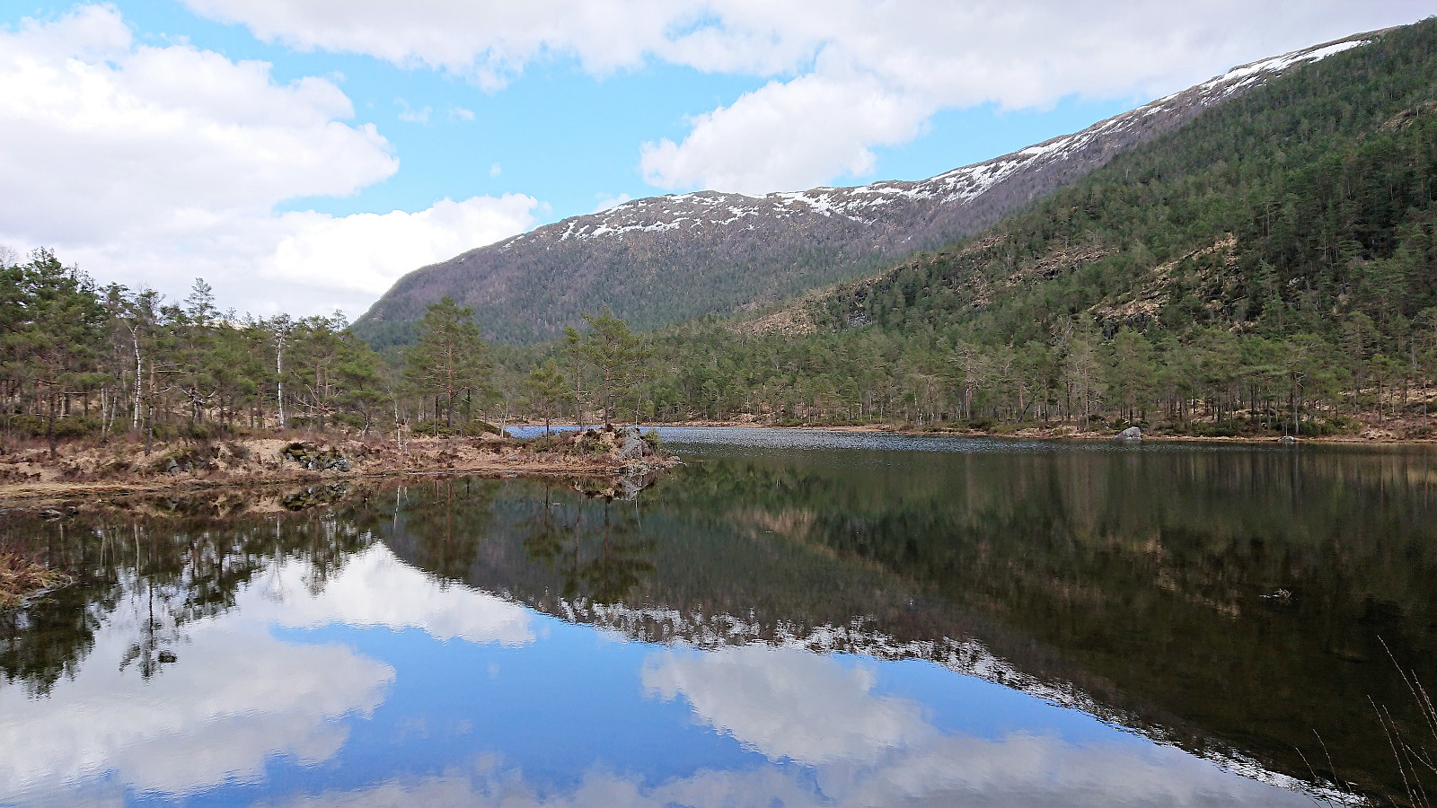
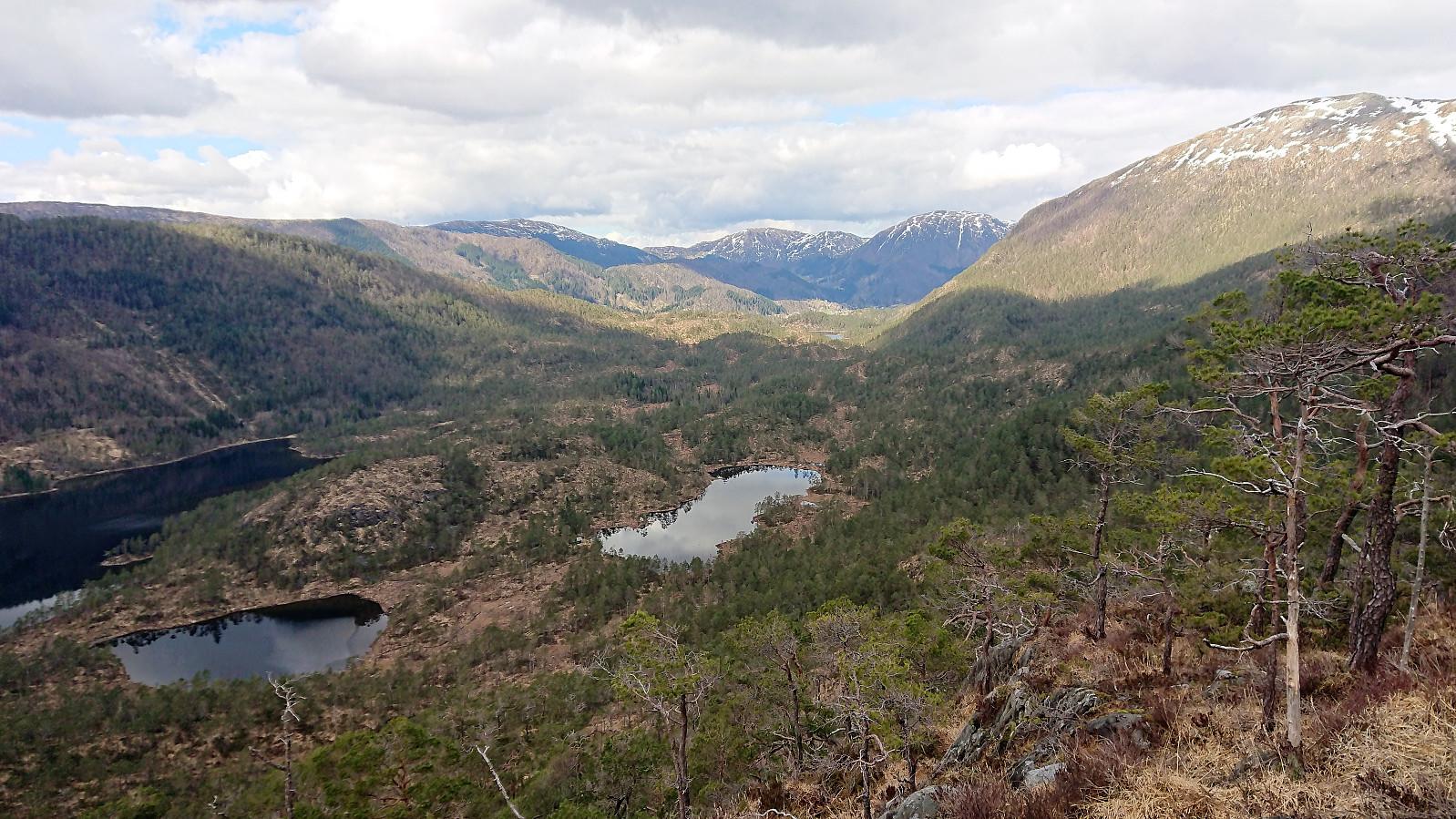
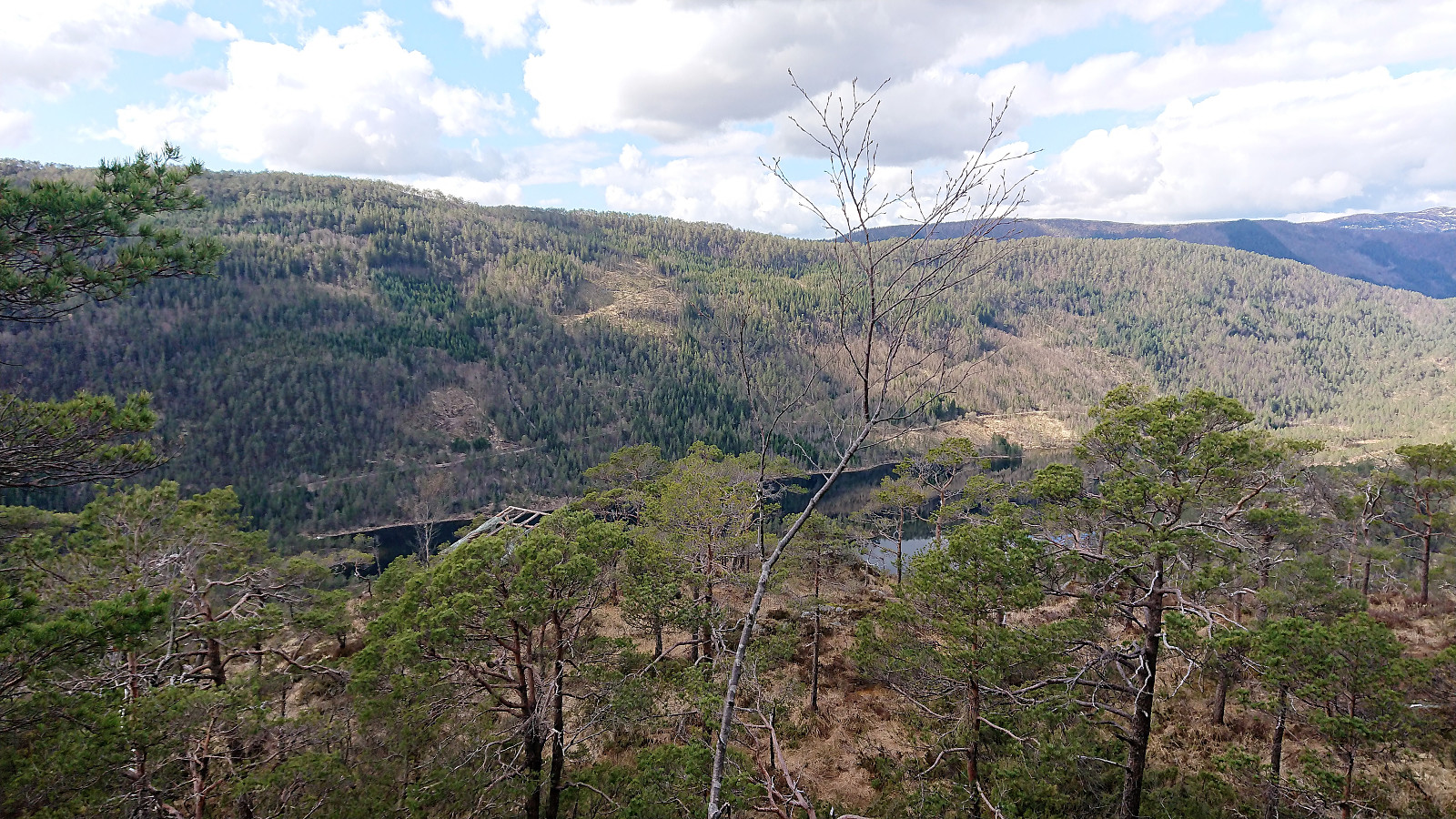
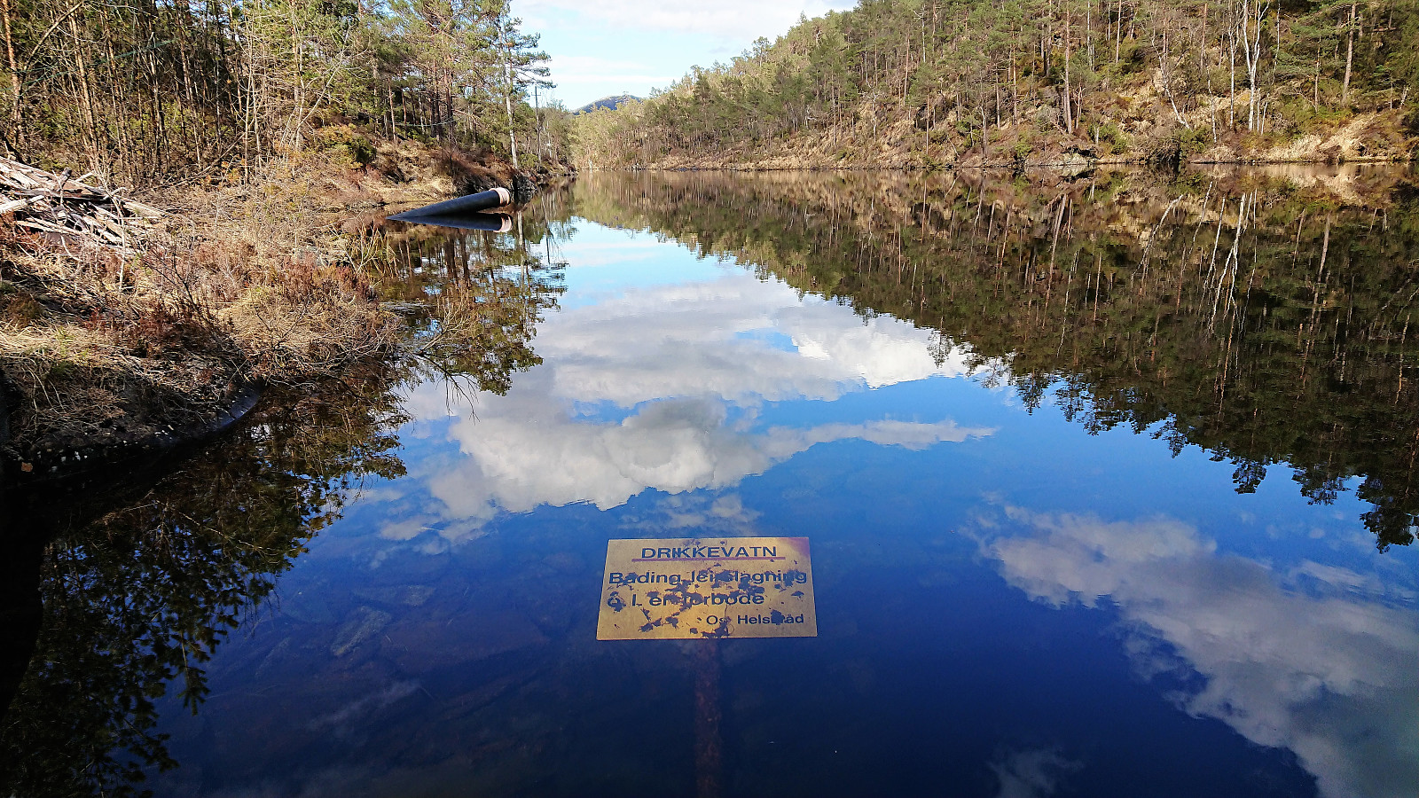
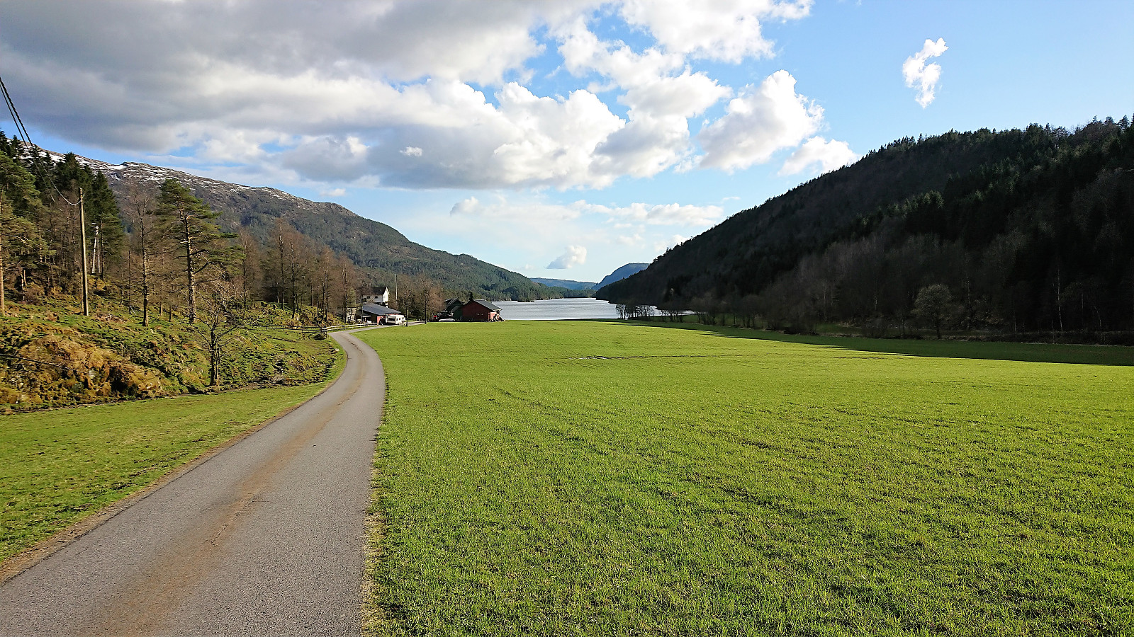
Started by taking the bus to Gåssandskiftet and walking the rather boring 3 km to the parking lot at Hatlelio where I switched from asphalt to gravel for another 3 km in pretty much the same direction. I had been hoping that I'd be walking close to the two lakes, but to my disappointment most of the view towards the lakes was hidden until getting close to Raudlibøen. There is however a trail closer to the lakes, so perhaps worth a try instead of only following the gravel road.
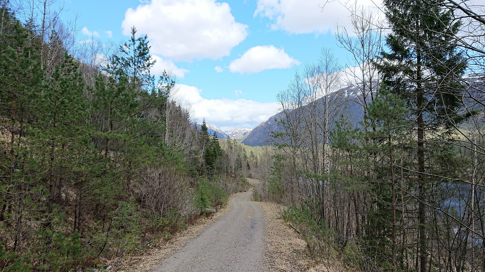
As I turned south at Raudlistova the gravel road ended as the trail towards the BJF cabin started (see Bergen Jeger og Fiskerforening). The trail quality was ok until reaching the BJF cabin, which had a very nice location at the southern tip of Raudlitjørna, but this marked the end of the good trails, even though the trail heading southeast from the BJF cabin (and then southwest down Bjørndalen) was clearly indicated on the map and at the information sign at the parking lot.
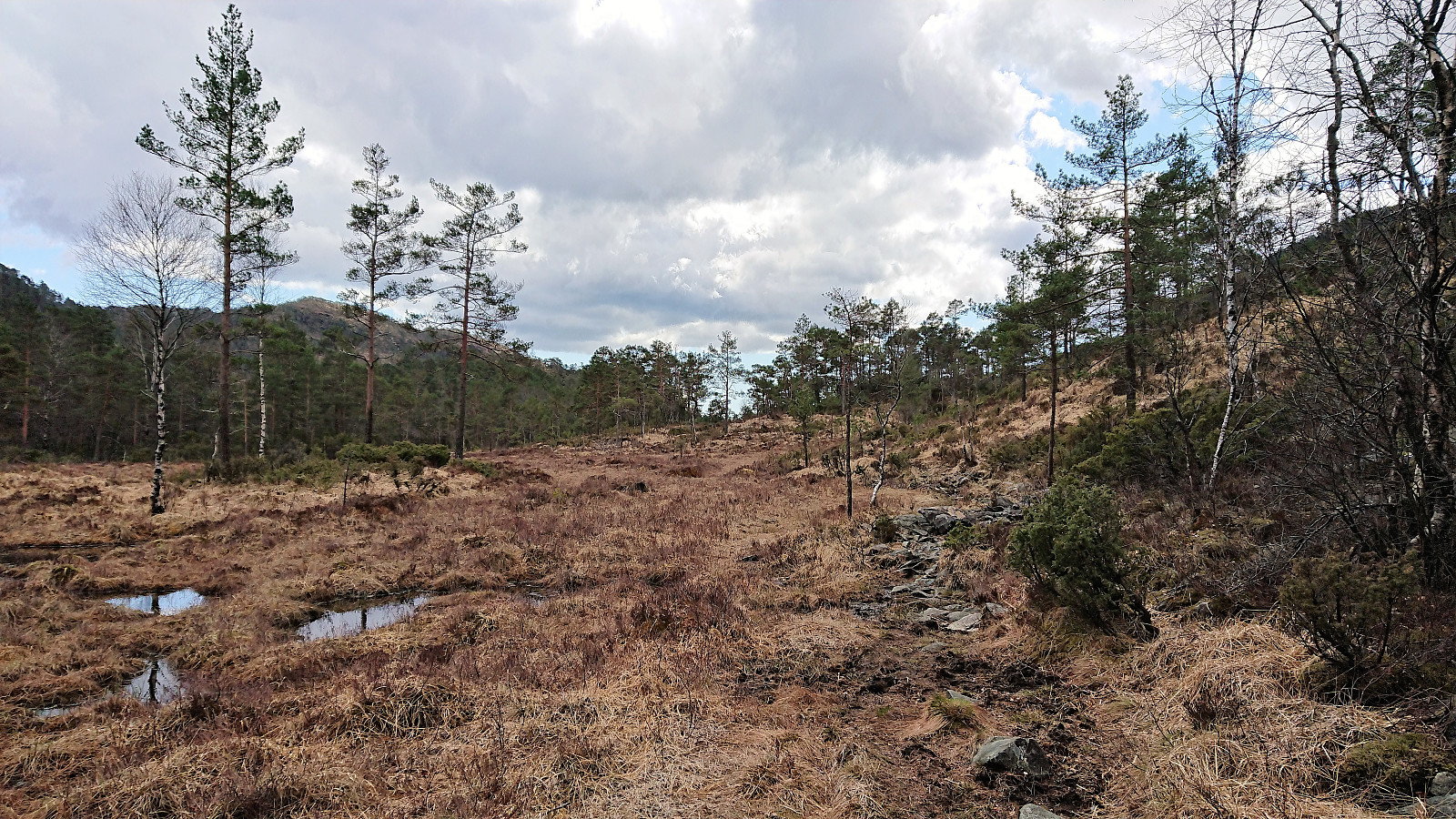
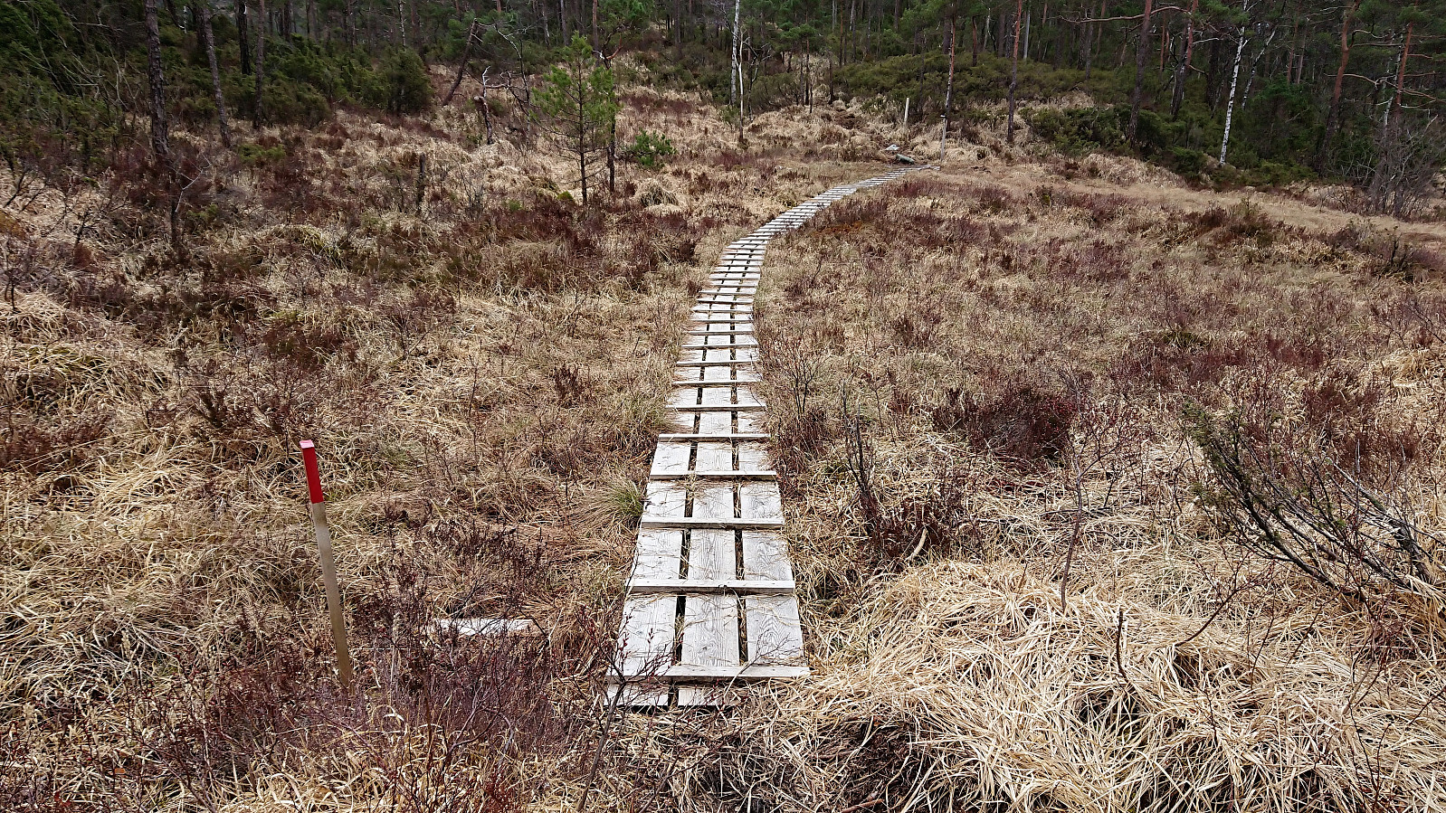
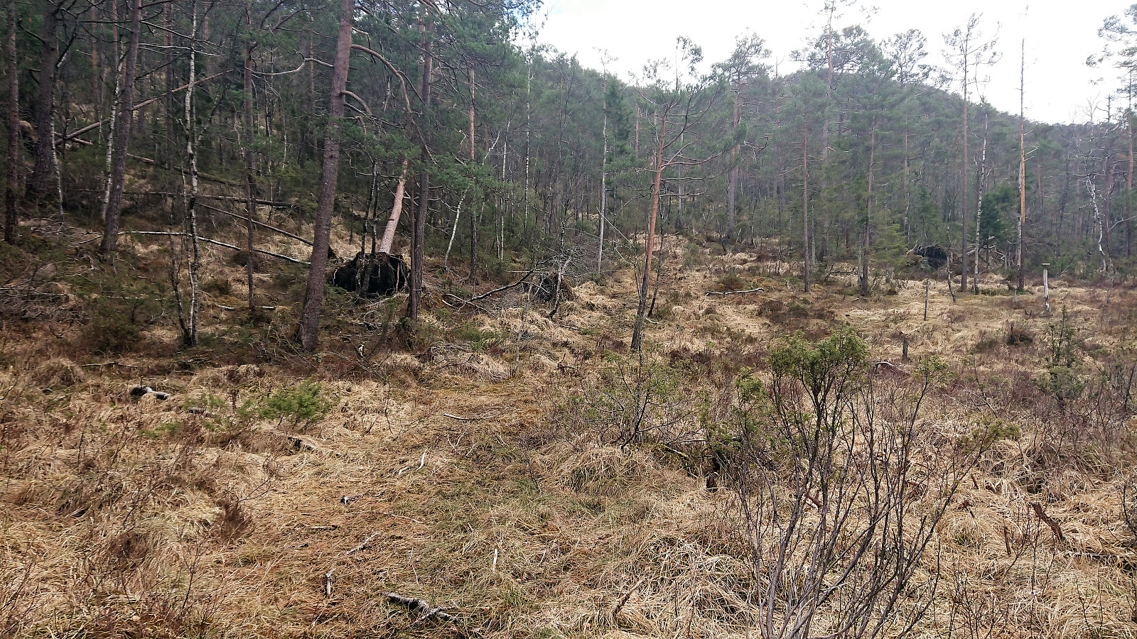
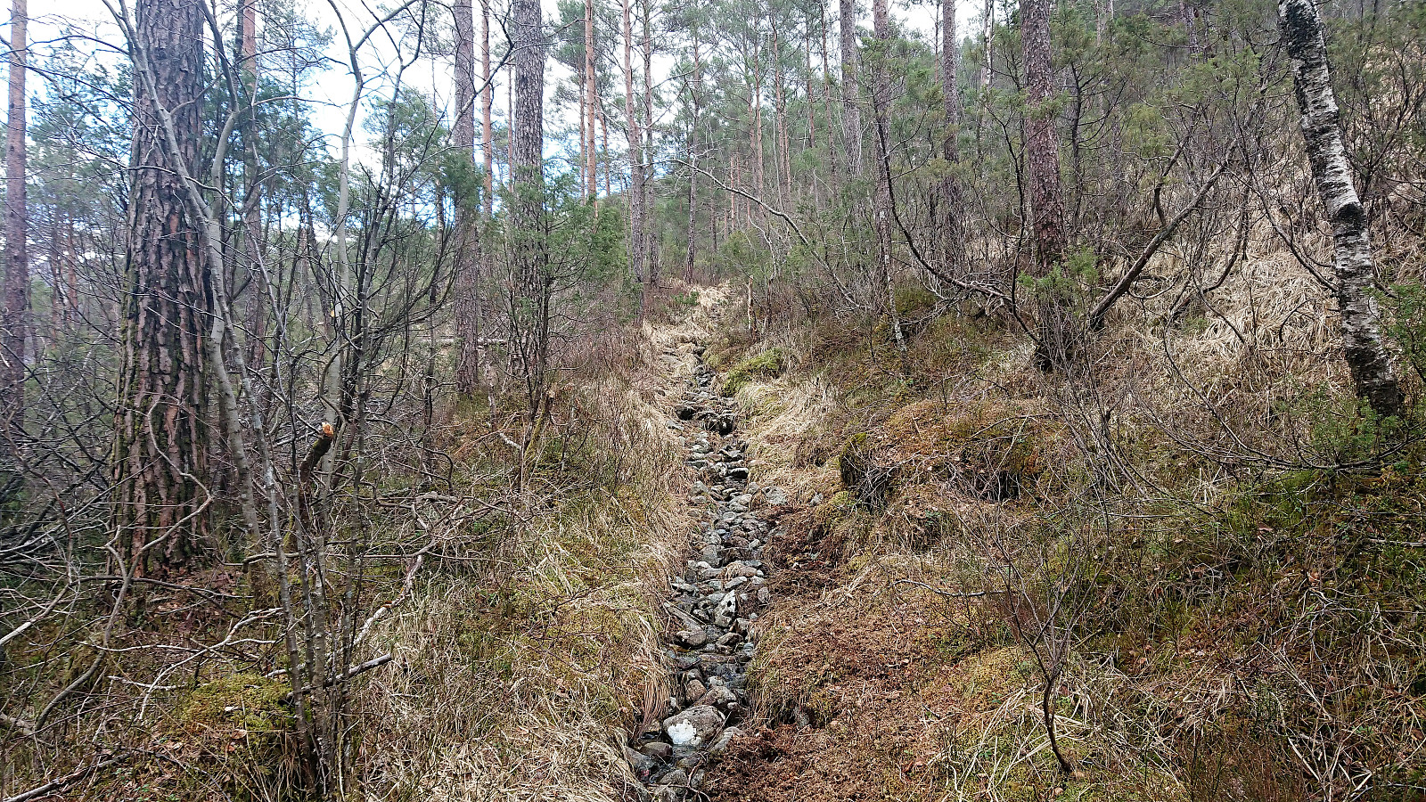
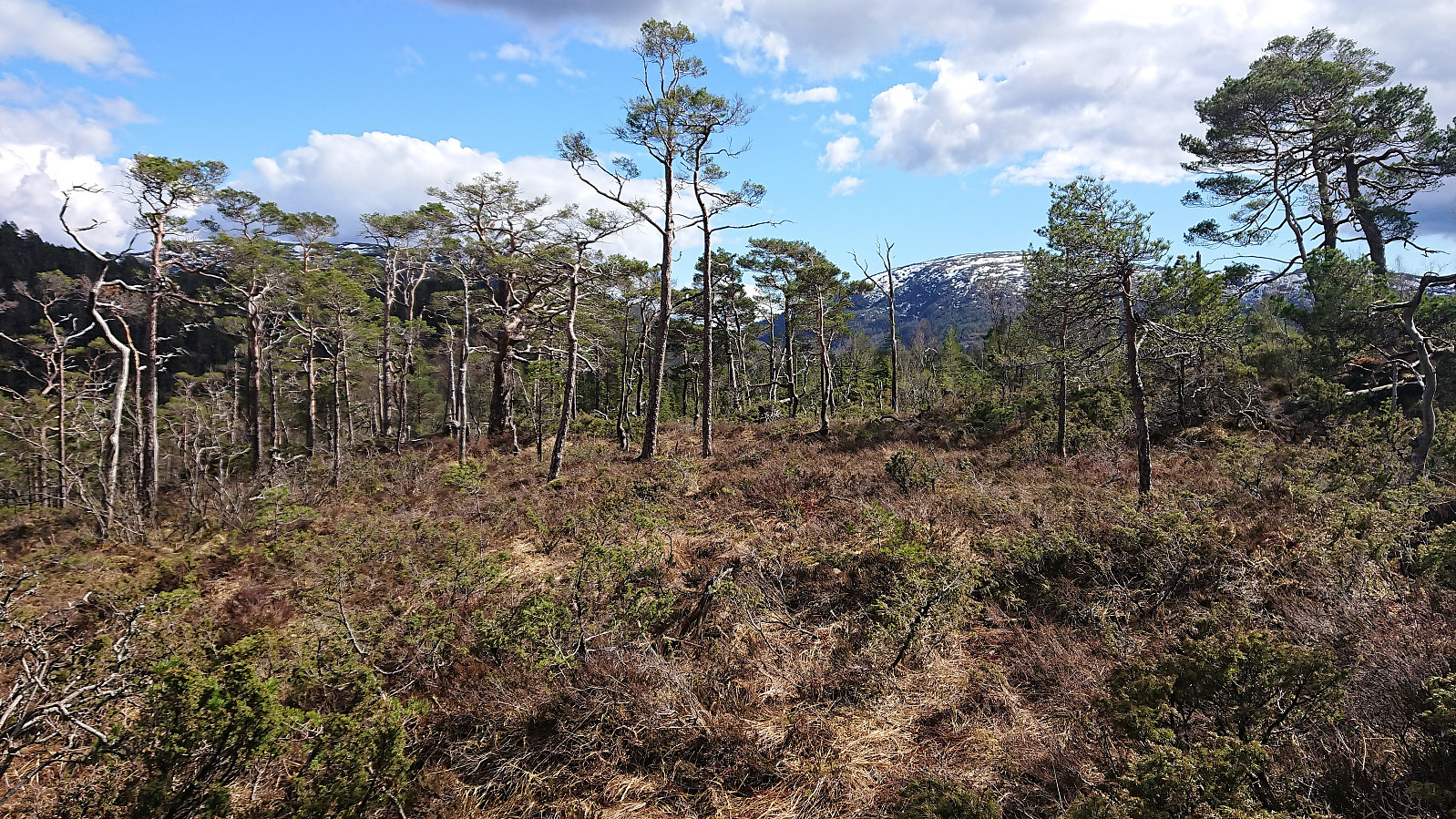
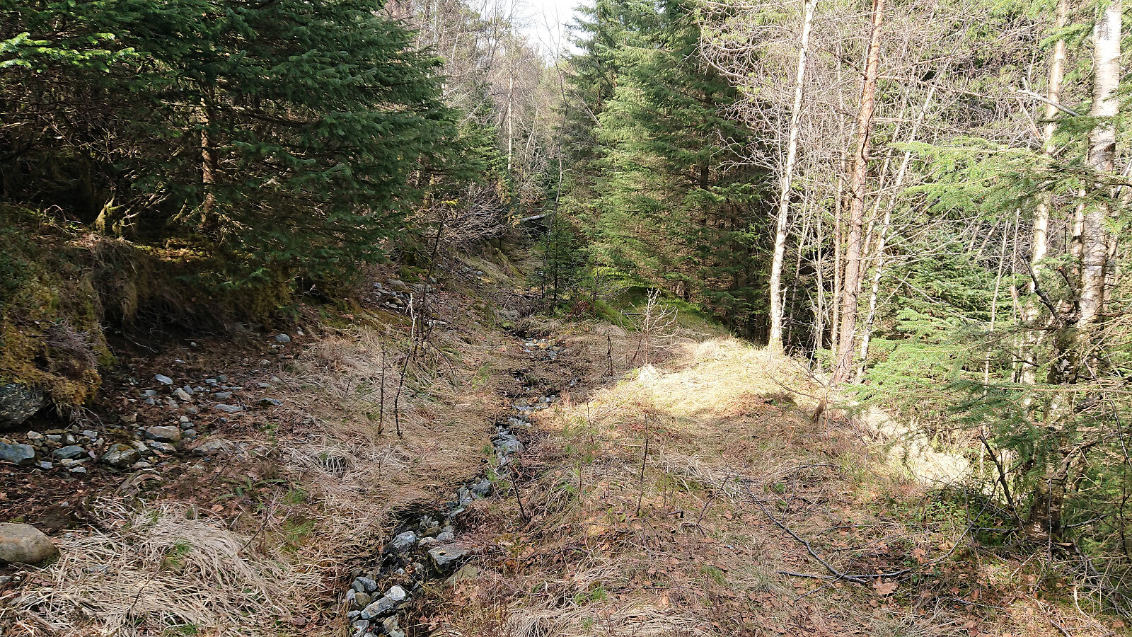
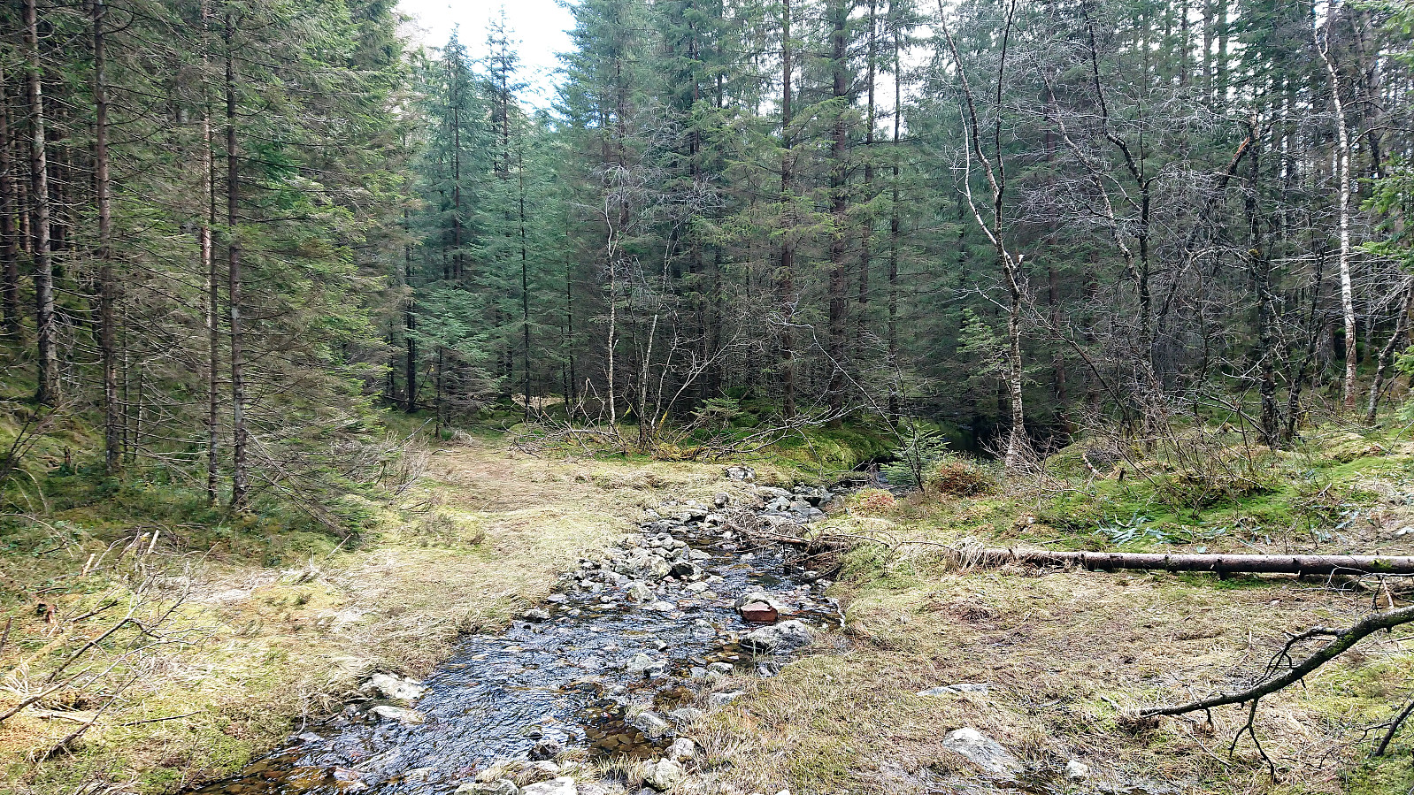
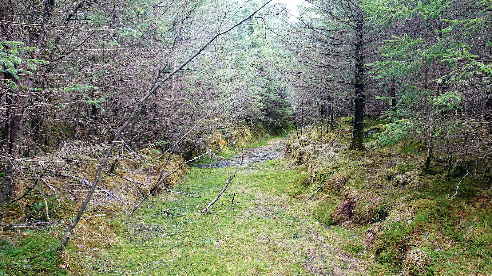
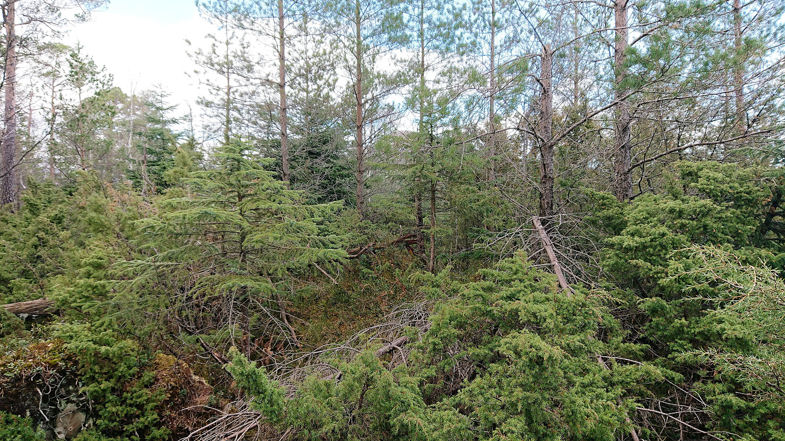
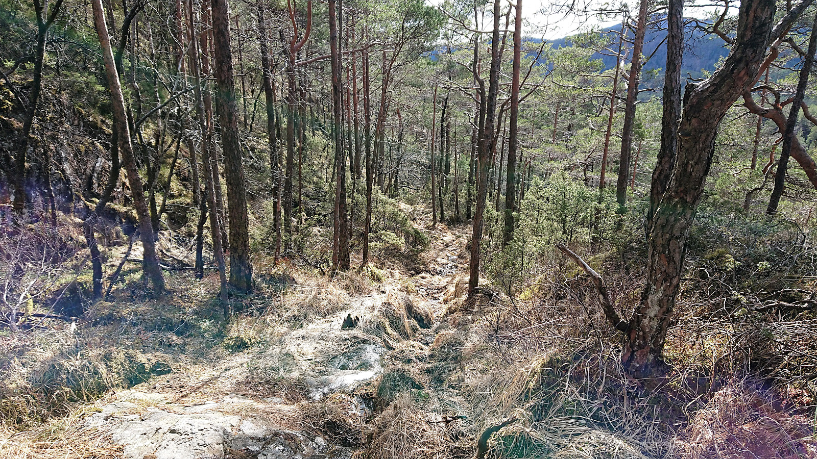
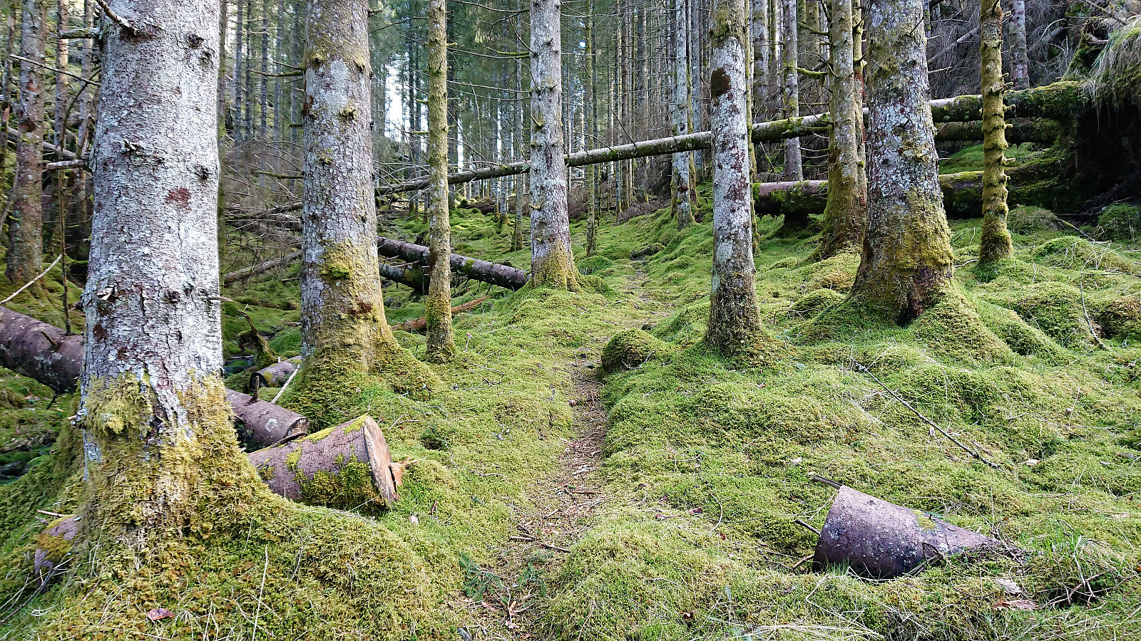
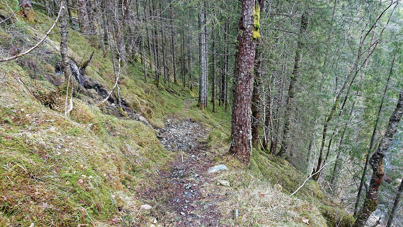
As soon as I left the BJF cabin behind the trail got very wet. At times looking more like a small stream than a trail. And as it reached the top of Ysta Bøskaret it split into multiple trails which, as far as I could tell, all pretty much disappeared. In any case, none of them seemed to be heading towards Skantane. The terrain was however rather open (although quite wet) and I therefore decided to make my own way to the summit.
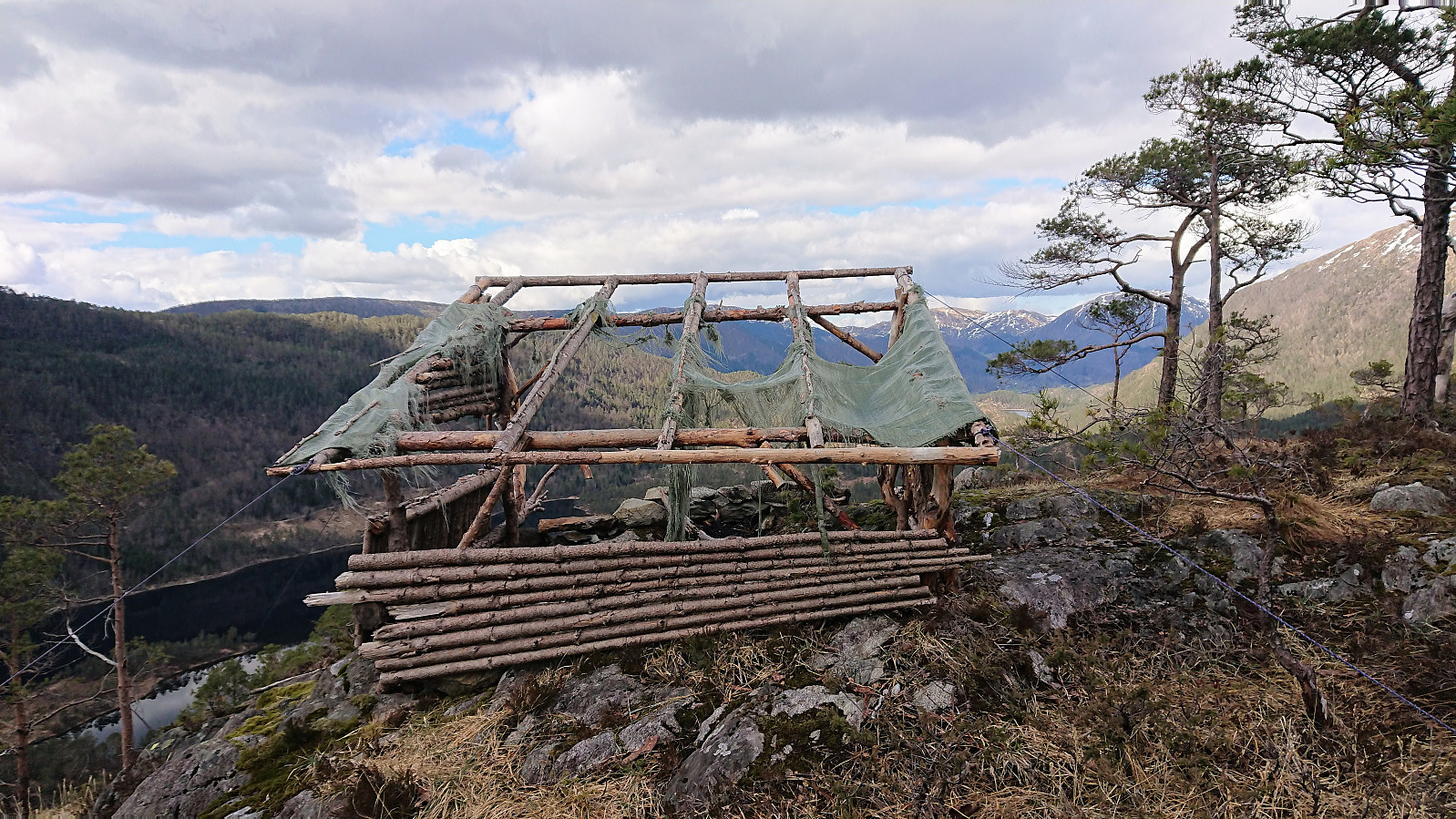
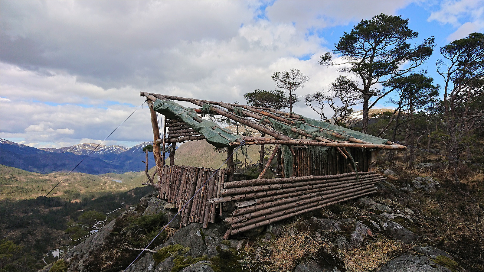
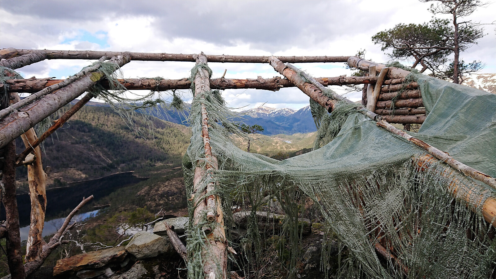
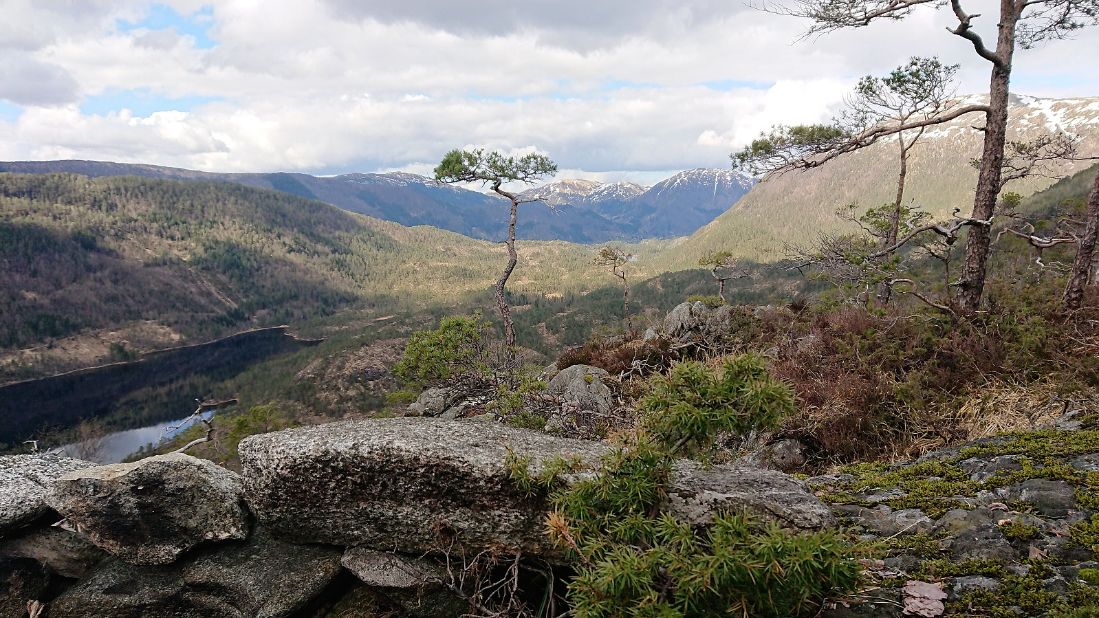
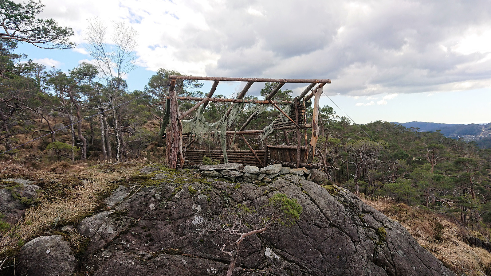
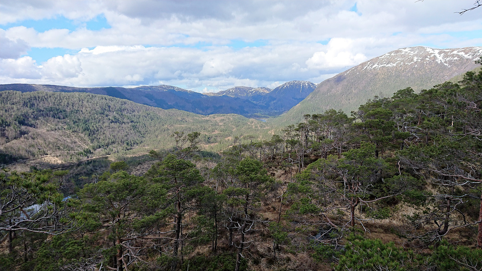
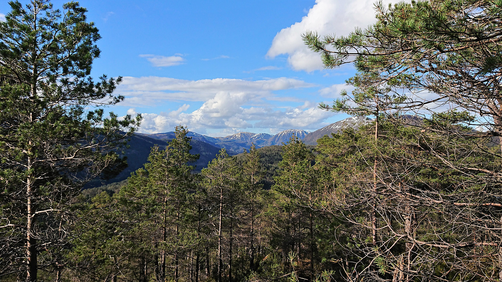
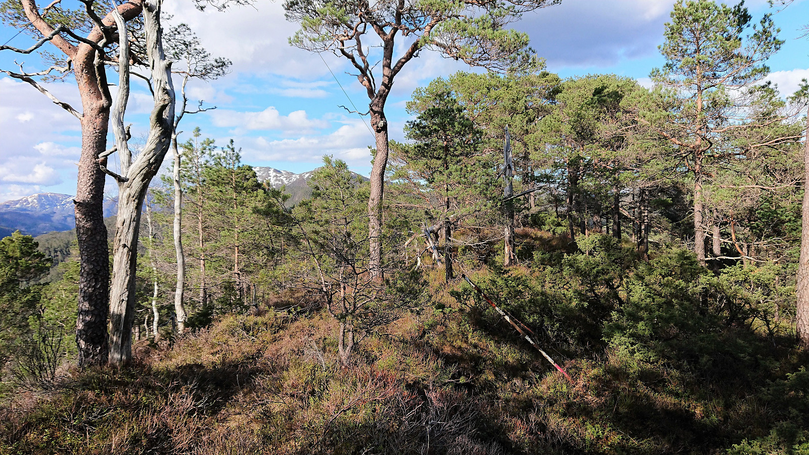
After following various deer tracks through the pine forest, and feeling like I was in the middle of nowhere, I was then very surprised to come across traces of human activity in the form of a old deteriorating shelter positioned such that one could enjoy the spectacular views north up the valley. From the shelter it was only a short distance to the summit, which also provided nice, if a bit more limited, views.
Reppåsen
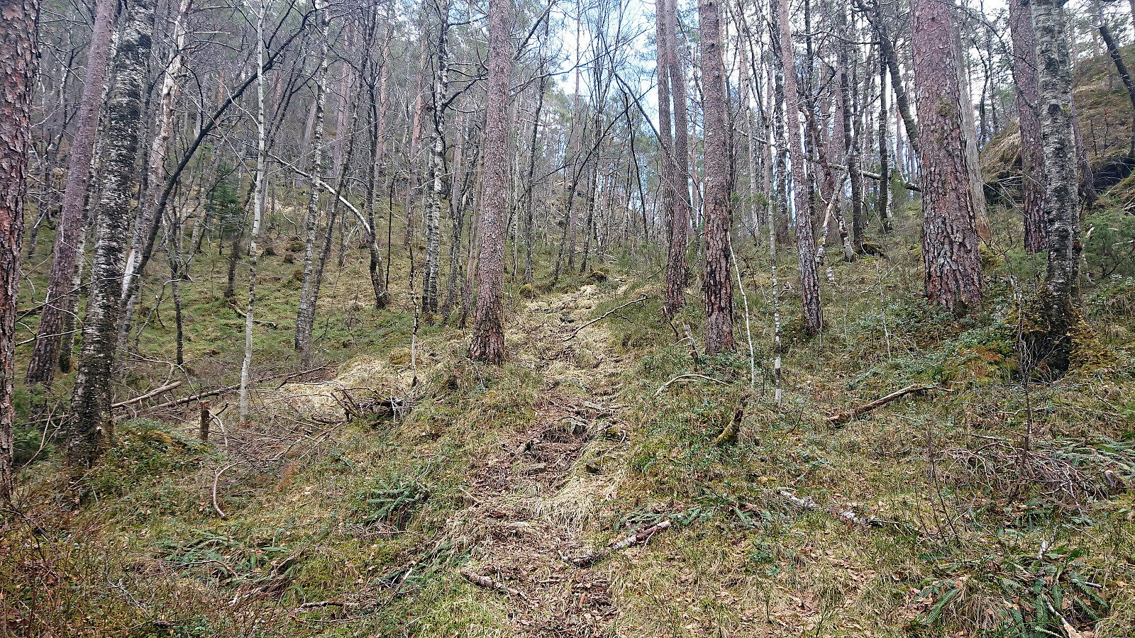
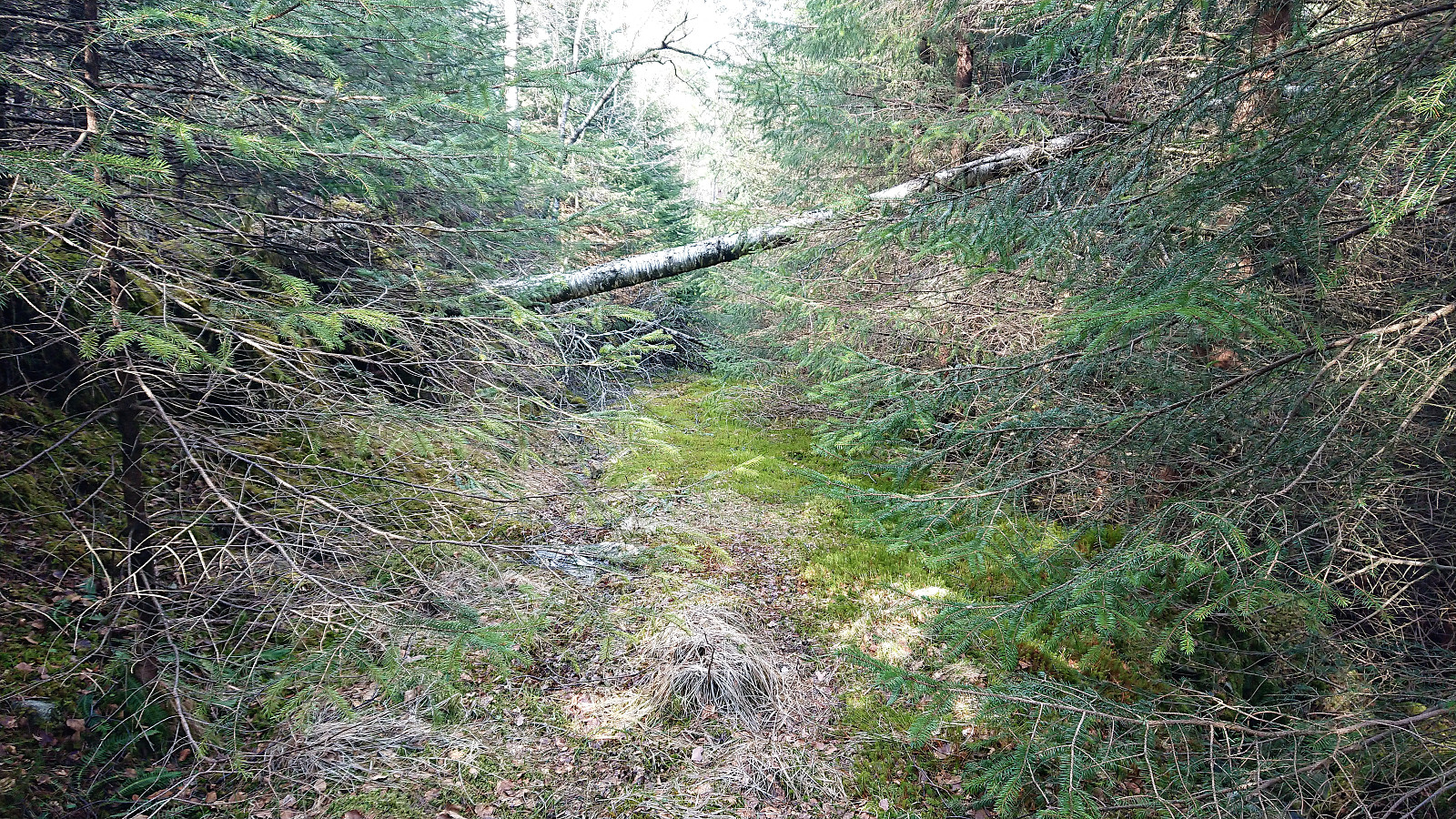
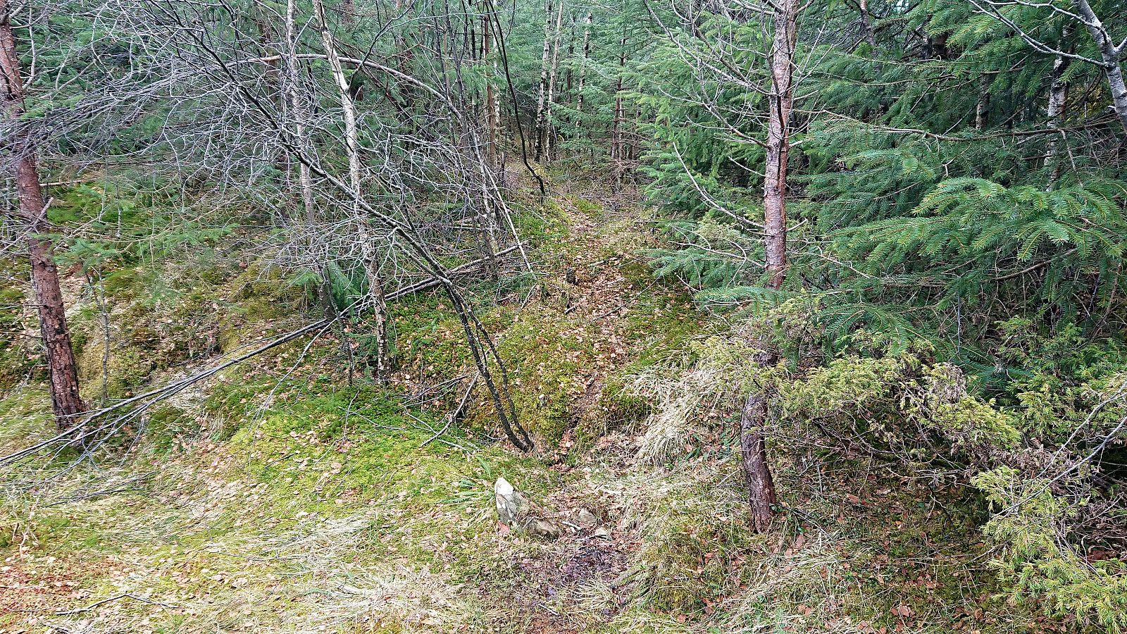
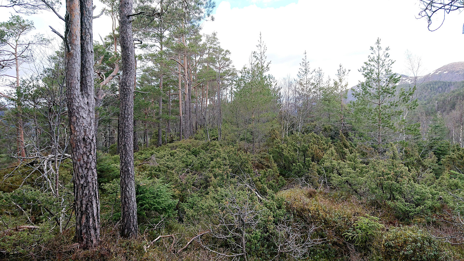
My next goal was Reppåsen and I had noticed a trail to the southeast of Skantane coming up from Bødalen, and therefore headed in this direction. At first across open terrain, but soon a minor bush war had to be fought before reaching what turned out to be an old tractor road. And while it was clear that the tractor road had not been used for many years, it still made it easier to progress east towards the indicated north-south trail.
The tractor road heading south was slightly better, but very wet, and as soon as I left the crossroads in Bødalen, to continue south towards Reppåsen, the road/trail more or less disappeared for a while, until reappearing as an even wetter tractor road. It did improve slightly as the road started to climb though.
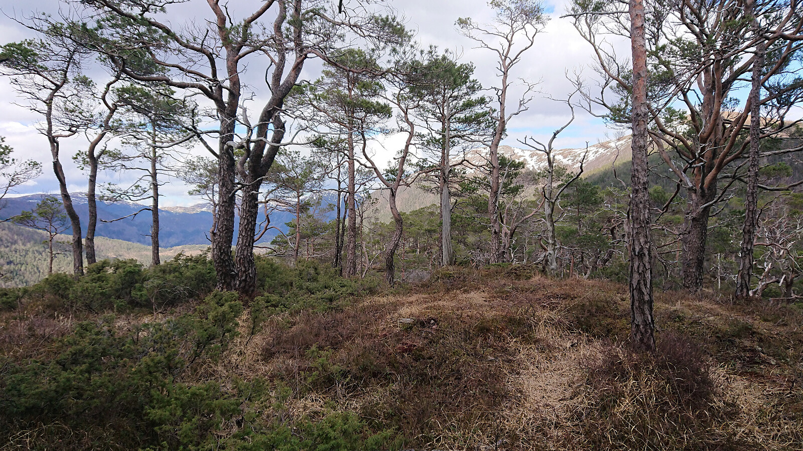
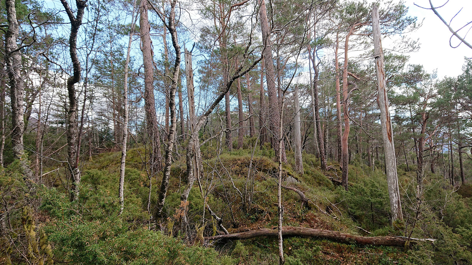
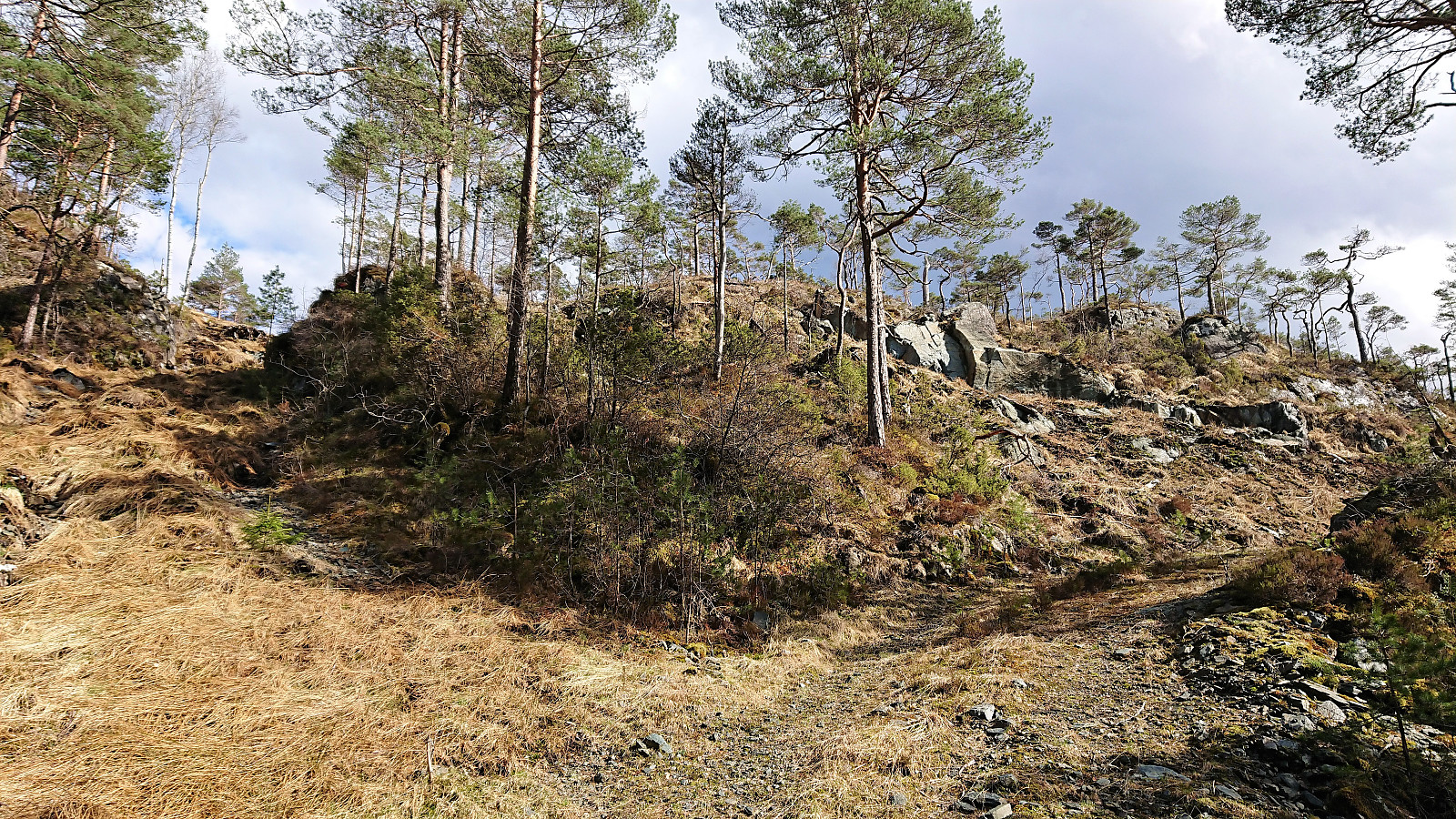
Less than 100 meters north of Reppåsen, I noticed what looked like a trail heading west, and took a gamble that it would lead me towards the summit. It sort of did, but it ended up being more of a deer track than a proper trail, and it disappeared before reaching the summit. The summit area provided very limited views and the large number of small trees and low vegetation made it difficult to figure out exactly where the highest point was. There was however a nice view towards Rødsfjellet and Møsnuken just southeast of the summit.
Grønhovda
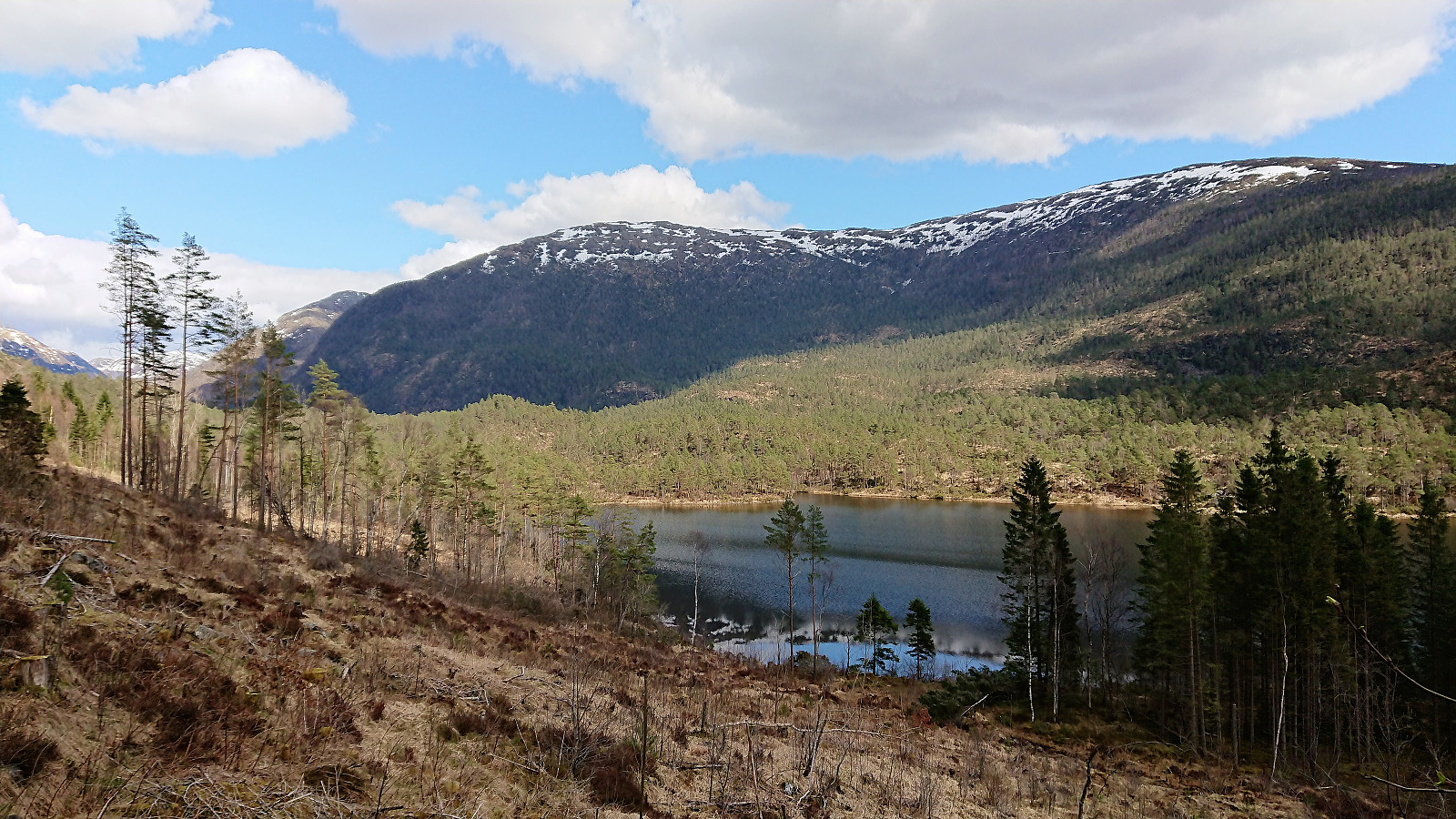
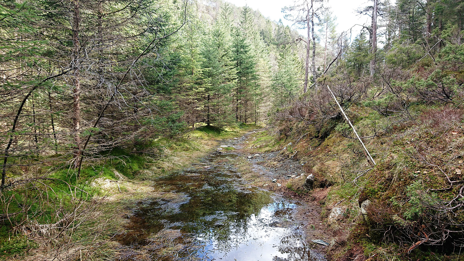
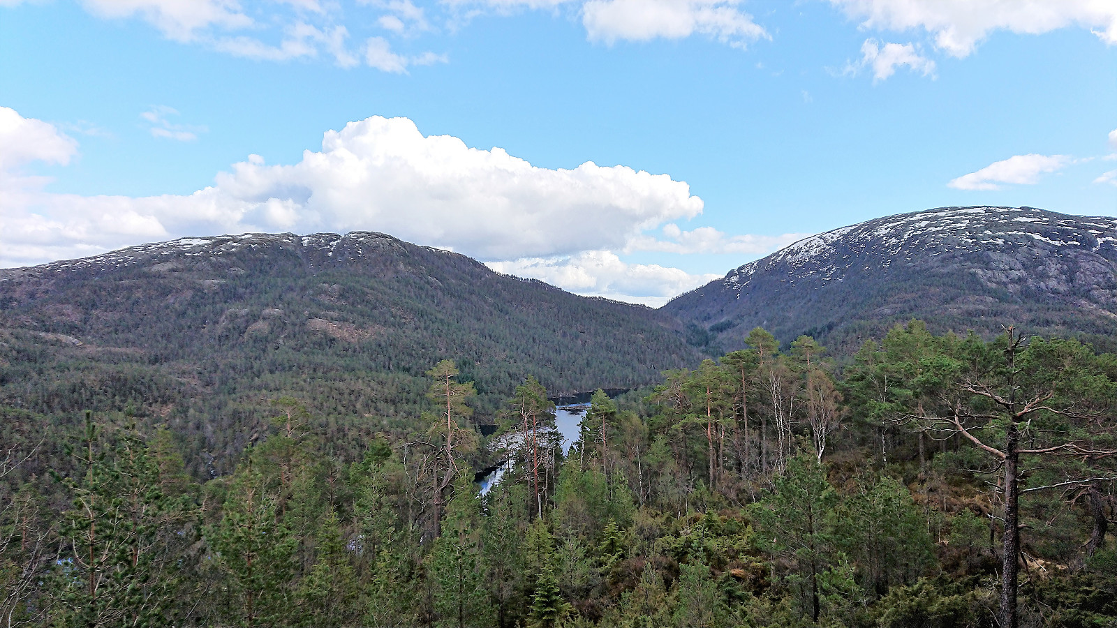
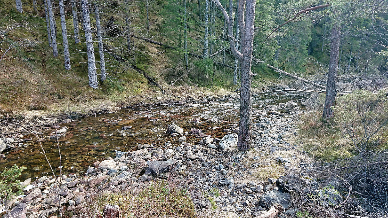
It was now time for the final goal of the day: Grønhovda. Given that there were no indicated trails heading in the wanted direction, I decided to head in the direction of the lower dam of Krokvatnet, hoping that I could there cross the river with only a short distance left to reach the summit.
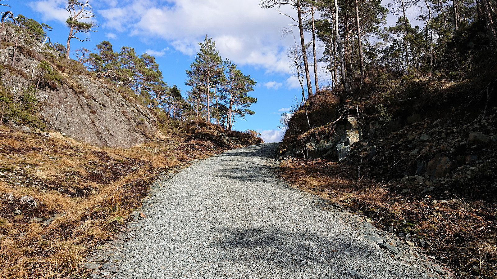
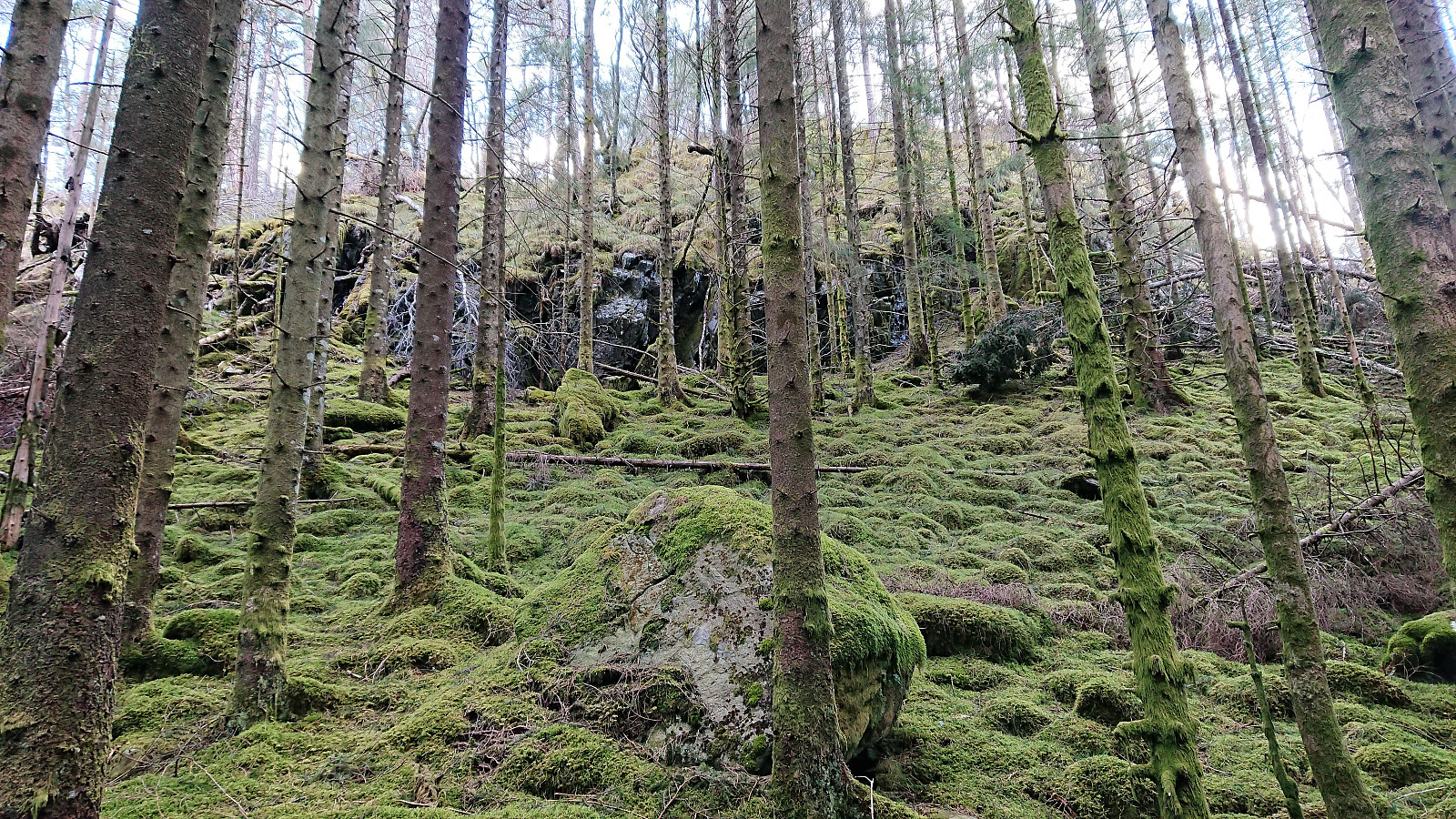
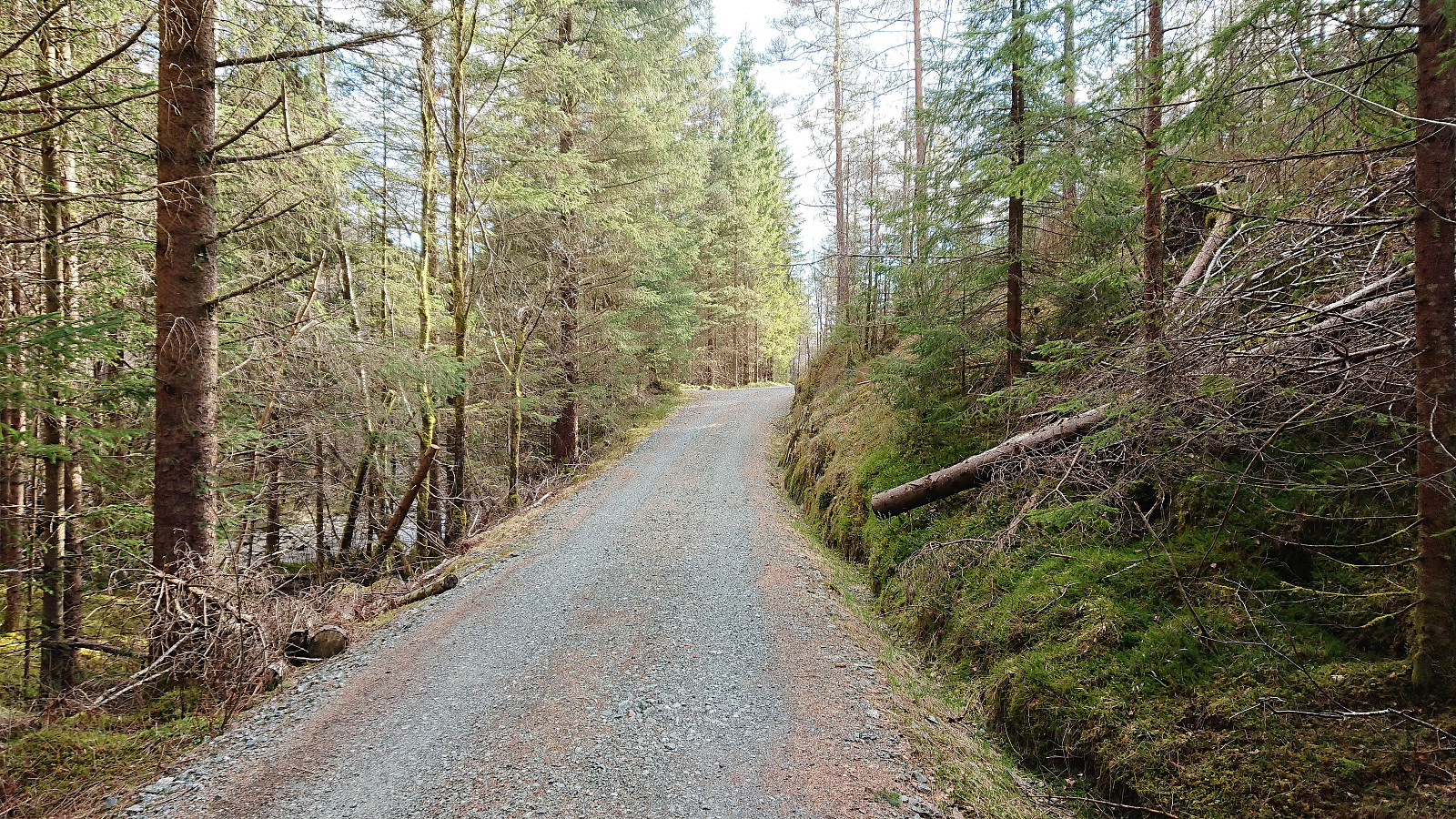
The terrain was overall easy to traverse, and with the help of various deer tracks, I soon reached Geitaskaret where I came across a weak trail that later connected with an old tractor road. I was therefore surprised when after turning southeast and climbing up the poor tractor road, found myself on a brand new (or at least recently renovated) gravel road. Maybe my off-road struggles were over and this road would take me all the way to the lower dam?
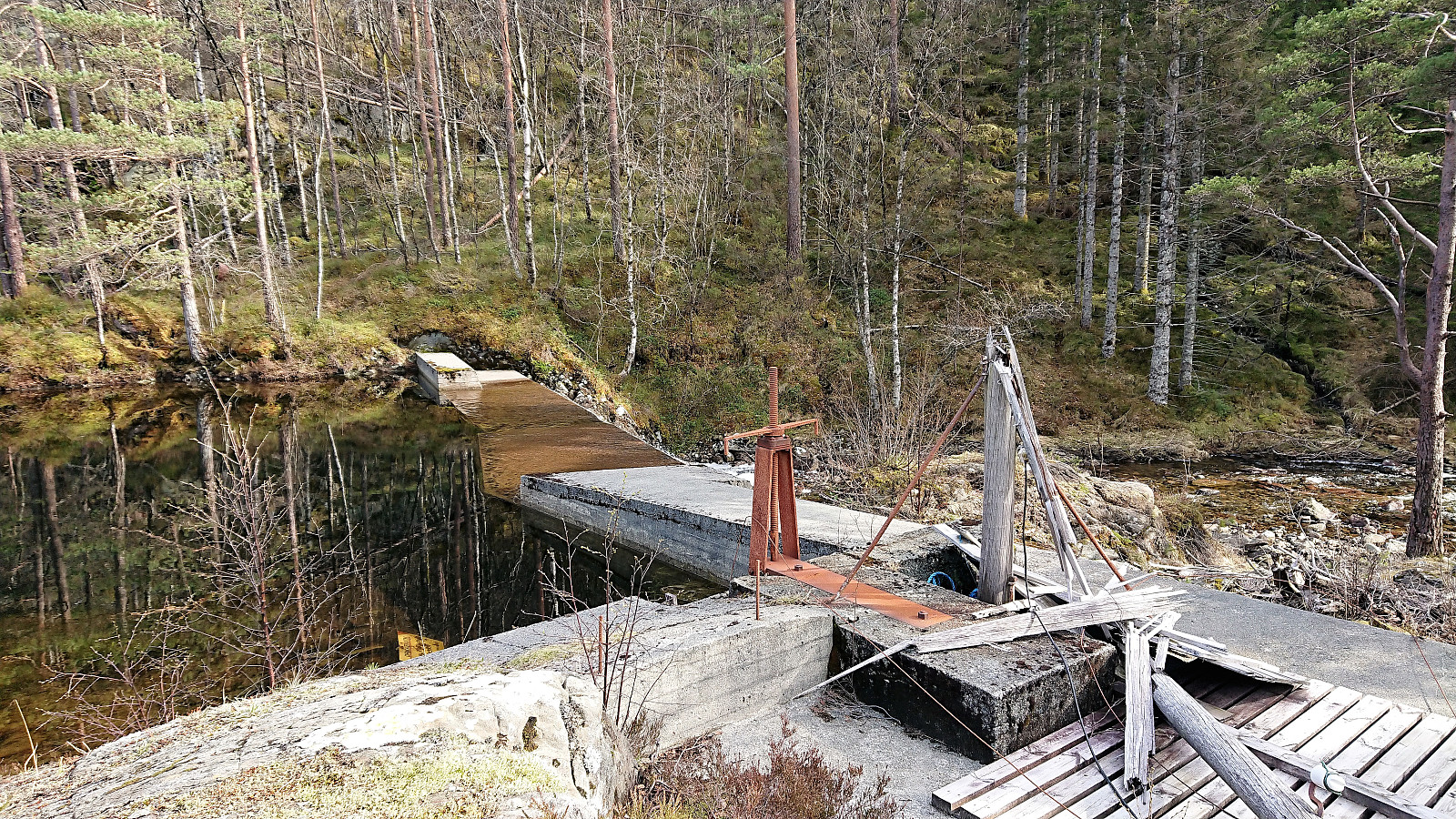
The road however only continued to the northern newer dam, which did not provide any opportunities for crossing, and I was therefore soon back on the weak trail on the west side of the river, on my way to test my luck at the lower dam. Here I was more lucky, as although dam itself did not provide an easy crossing, it was straightforward to cross the river just below the dam, almost without getting wet.
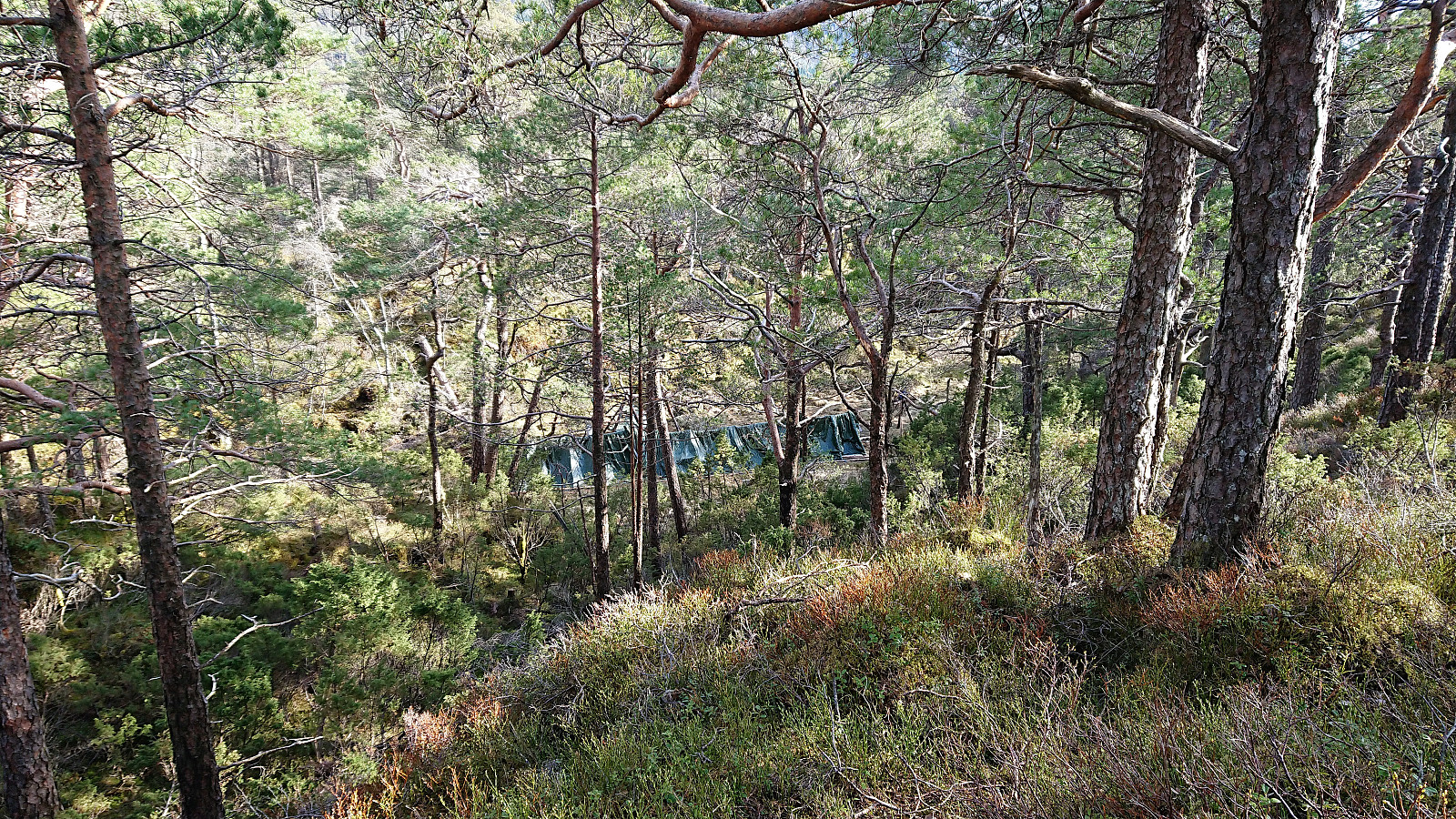
After a short lunch break I did just that and continued up the valley to the southeast. Again I was surprised by traces of human activity, as I soon found myself in a clearly man-made trail, indicated by the evidence of a chainsaw having been used to remove trees fallen across the trail. As far as I could see the trail did not go towards the summit (but rather continued southeast), so I left the trail and instead made my own way towards the summit. This initially required a bit of light climbing, but the terrain quickly levelled off and I arrived at the summit without any difficulty.
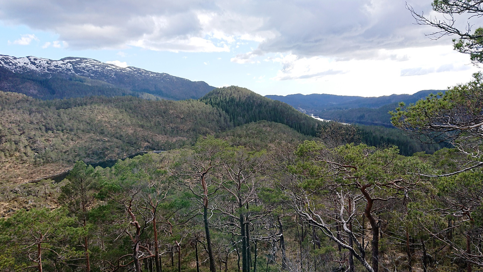
There I noticed the most likely reason for the clearing of the trail, a camp site (probably scouts?) was visible just south of the summit. This site seemed to be more recently used than the previously detected shelter at Skantane, but it could also be that it was less exposed to the elements. The summit itself provided nice but limited views. Better than Reppåsen, but far from the nice views at Skantane.
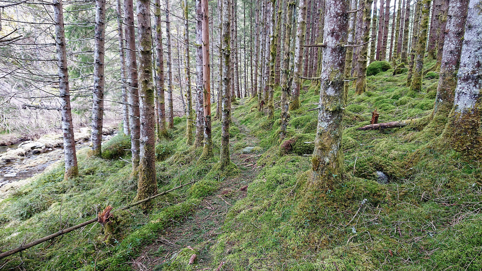
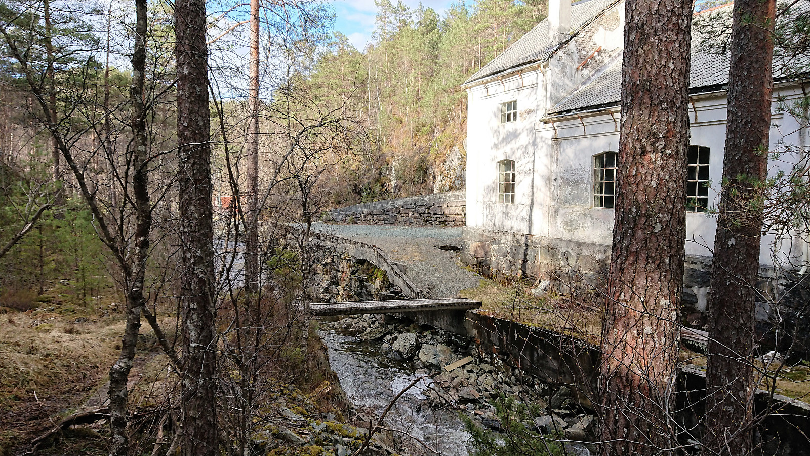
From the summit I returned to the river. But as I was approaching the river I noticed that the trail I had come across on the way up did not cross the river below the dam, but rather continued northwest along the river. I assumed this meant that there was another crossing point in that direction and therefore decided to keep following the trail. This turned out to be a good choice as a bridge appeared as I got to Os El-verk, clearly making this the recommended route if only visiting Grønhovda.
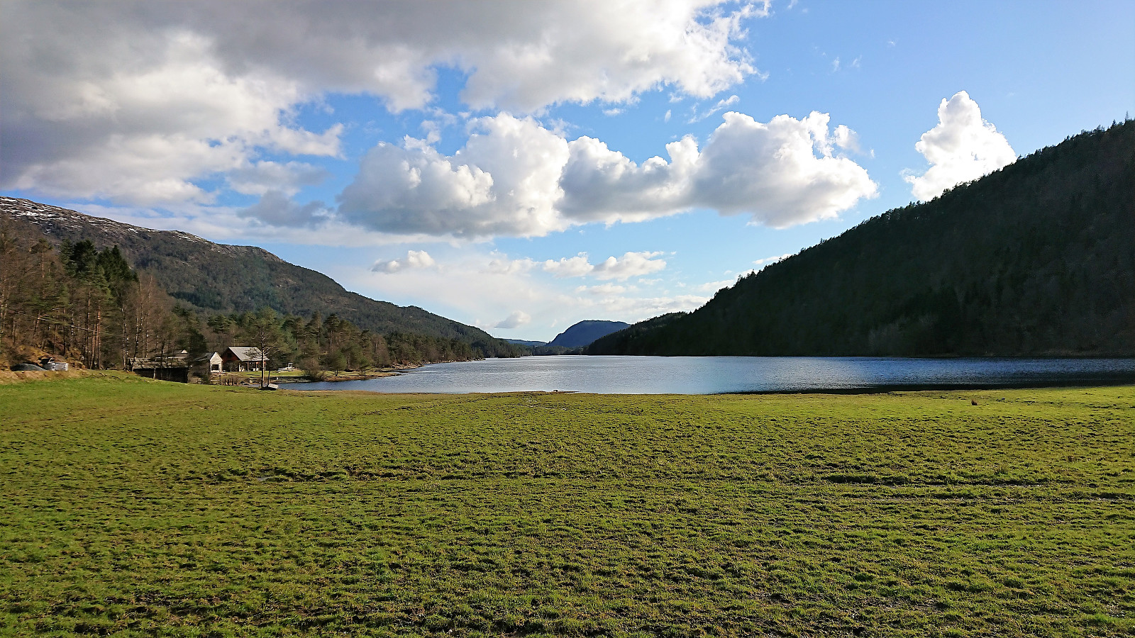
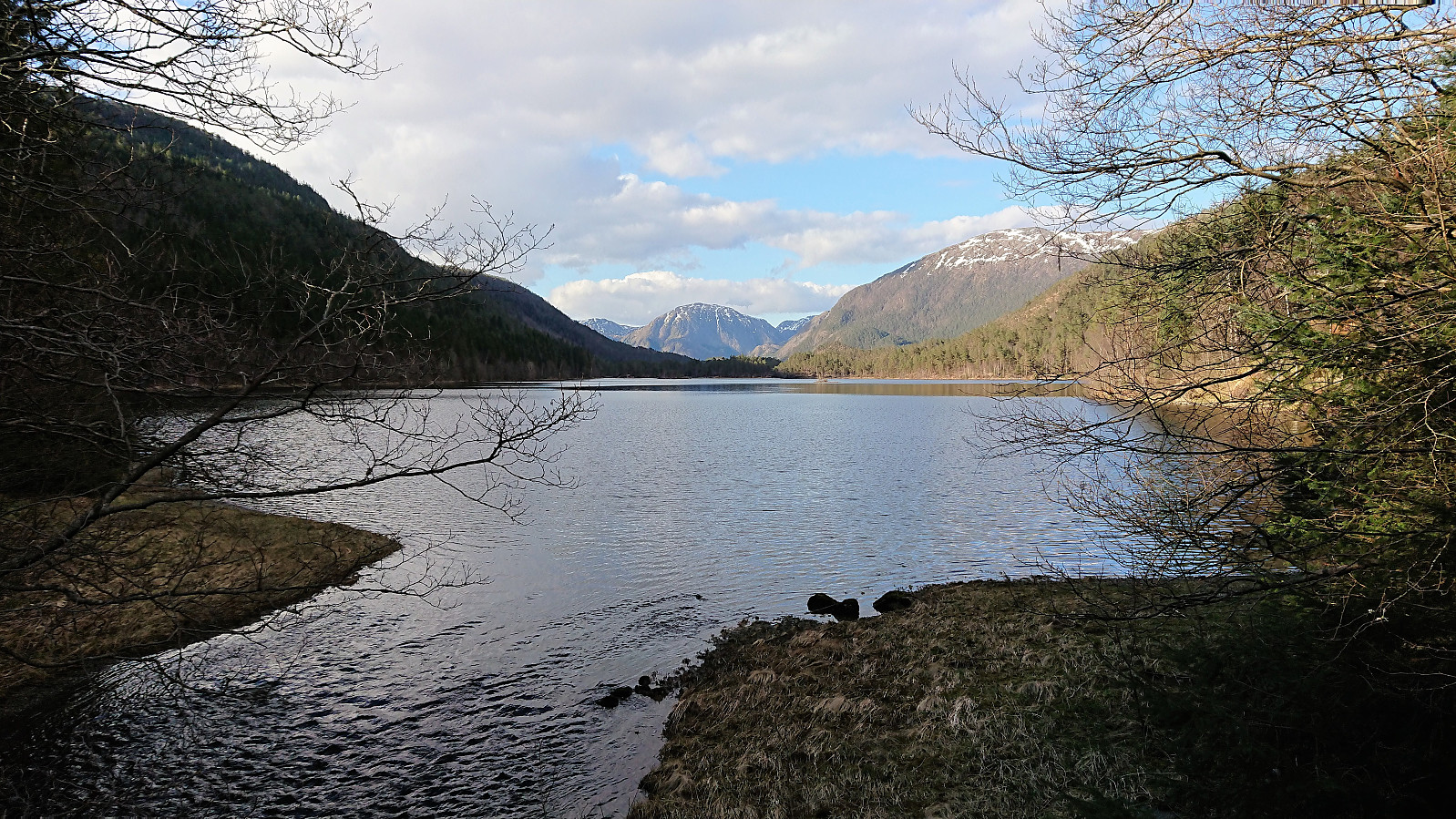
All that now remained was to follow the gravel (and later asphalt) road back to Hatlelio, which included some very nice views across Gåssandvatnet and (for a very short moment) Ysta Raudlivatnet. Finally, there was the 3 km walk back to Gåssand, including some light running in order to catch the bus back to Bergen.
Conclusion
In summary, this hike clearly consisted of three parts: first the long rather boring walk northeast along the roads to Raudlibøen, then the large stretches of wet and missing trails heading south, with some excellent views along the way, and finally another overall uninteresting long walk along the roads back to Gåssand. So while this hike clearly cannot be recommended for those preferring marked and easy to follow trails, a visit to the shelter at Skantane and its excellent views is definitely worth a visit. Grønhovda can also make for a nice hike if following the route from Os El-verk, while Reppåsen can generally be skipped unless one is collecting the Os ≥ 50m pf. list.
For more details about the area please see Raudlio og Stokkedalen friluftsområde.
| Start date | 29.04.2018 13:25 (UTC+01:00 DST) |
| End date | 29.04.2018 19:24 (UTC+01:00 DST) |
| Total Time | 5h 59min |
| Moving Time | 5h 29min |
| Stopped Time | 0h 30min |
| Overall Average | 3.4km/h |
| Moving Average | 3.7km/h |
| Distance | 20.1km |
| Vertical meters | 794m |


User comments