
Kolåsen and Tveitåsen (21.04.2018)

Skrevet av hbar (Harald Barsnes)

| Startsted | Manger (29moh) |
|---|---|
| Sluttsted | Manger (29moh) |
| Turtype | Fjelltur |
| Turlengde | 3t 00min |
| Distanse | 14,0km |
| Høydemeter | 437m |
| GPS |
|
| Bestigninger | Kolåsen (153moh) | 21.04.2018 |
|---|---|---|
| Tveitåsen (134moh) | 21.04.2018 |
Kolåsen and Tveitåsen
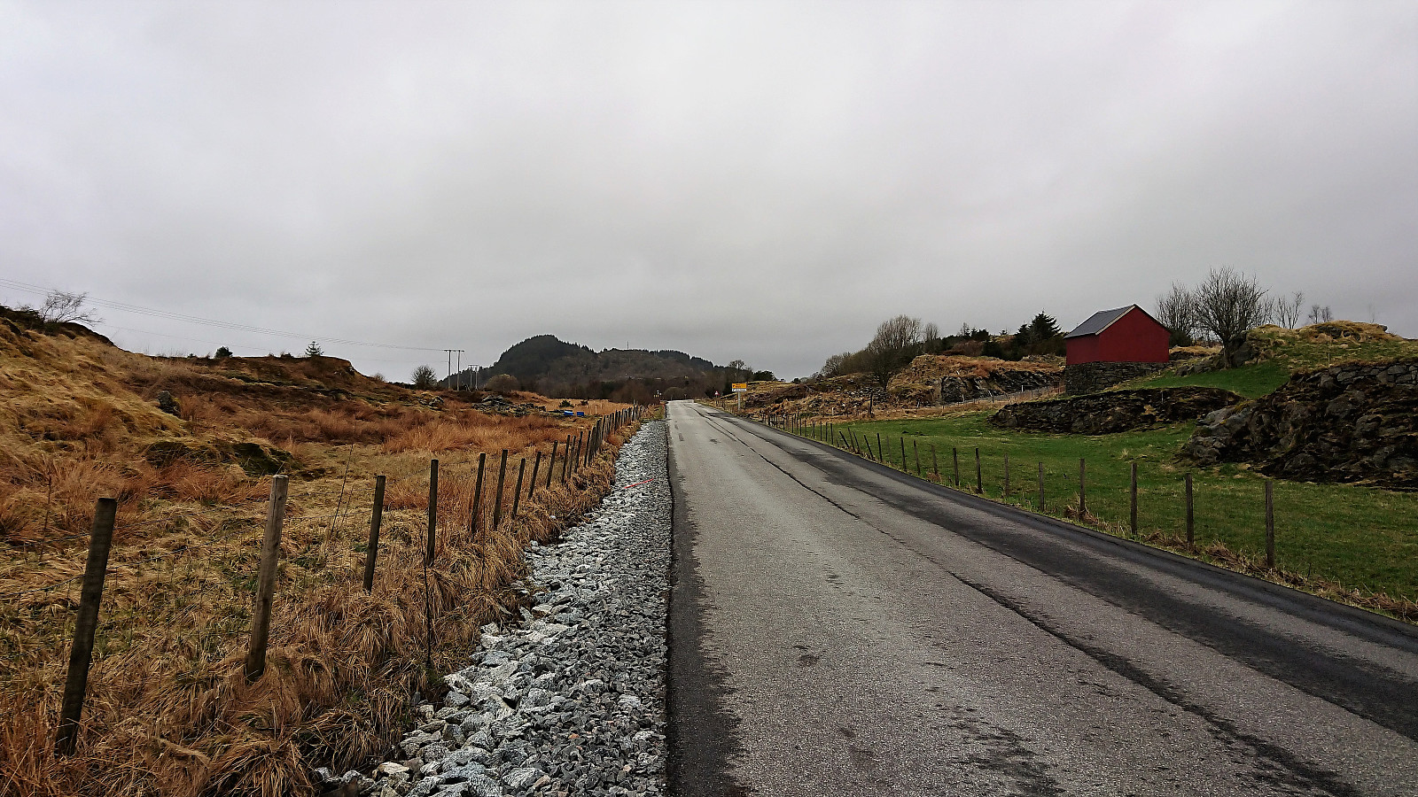
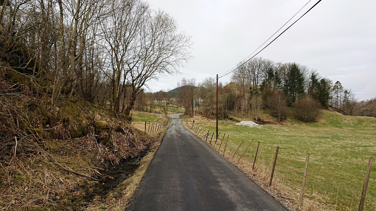
Started by taking the bus to Manger and from there walking along the road to Dalland. Only sidewalks at the very start, but not a lot of traffic so this part was slightly better than feared. As soon as I passed the last houses at Dalland the road changed into a tractor road that I followed almost to the end before starting my search for the trailhead to Kolåsen.
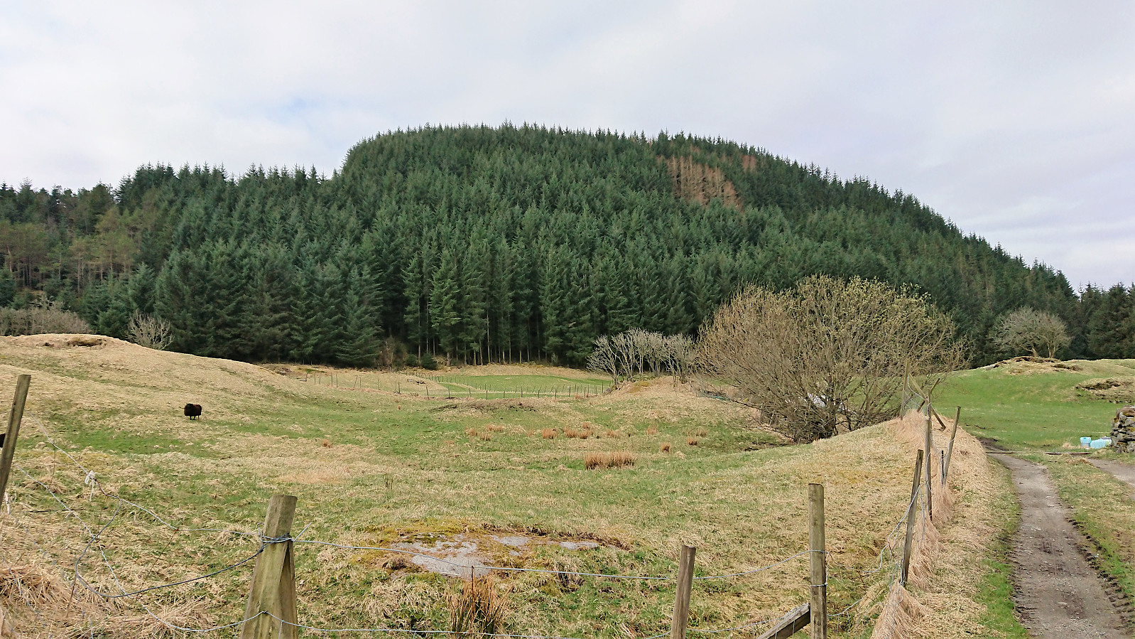
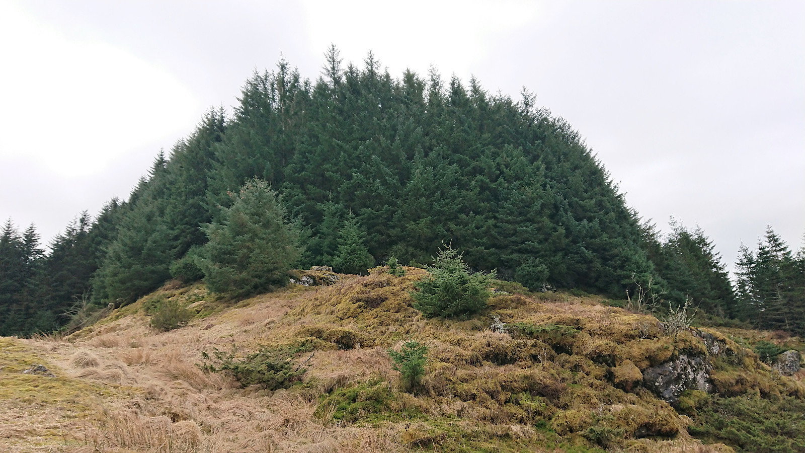
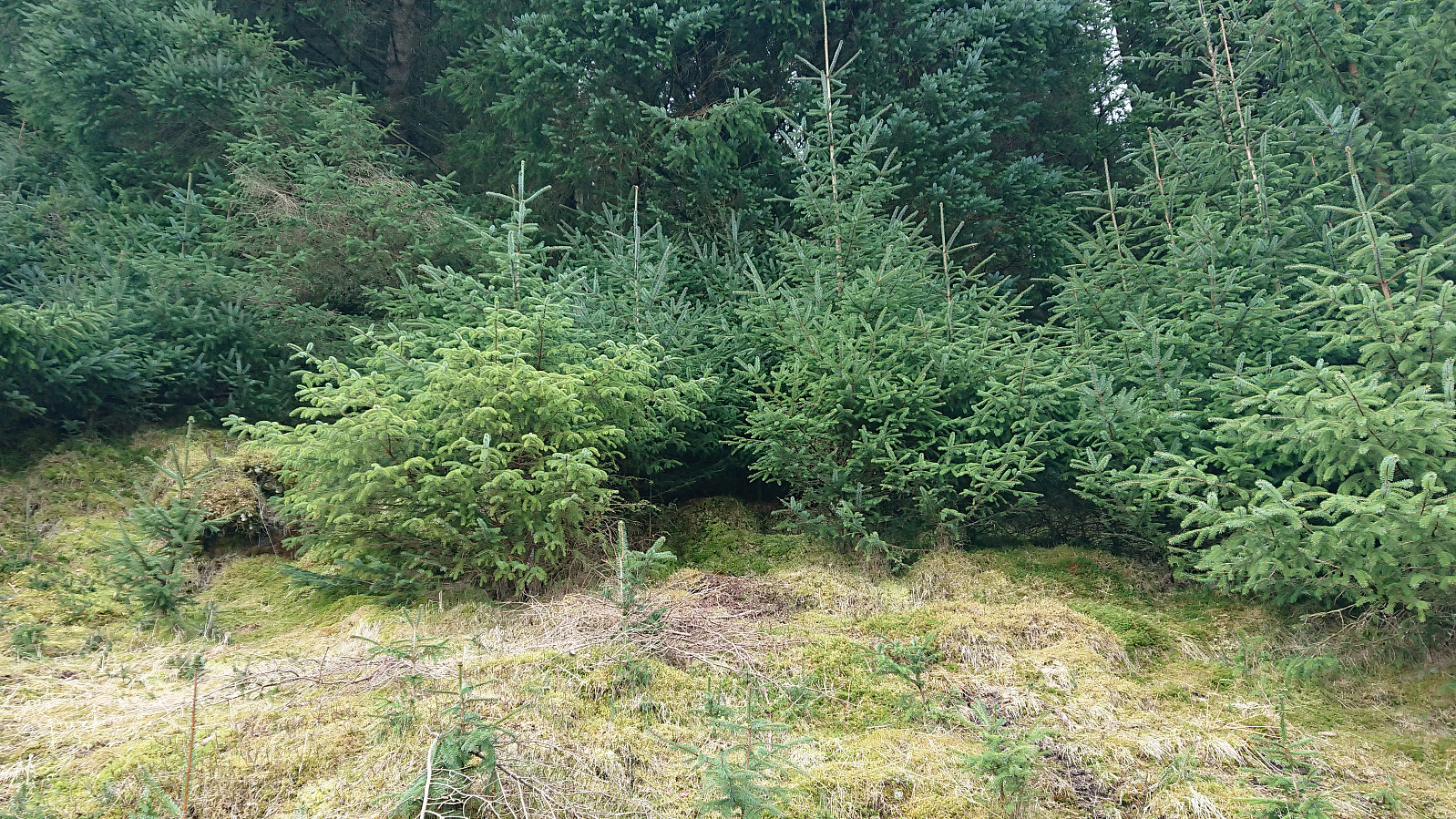
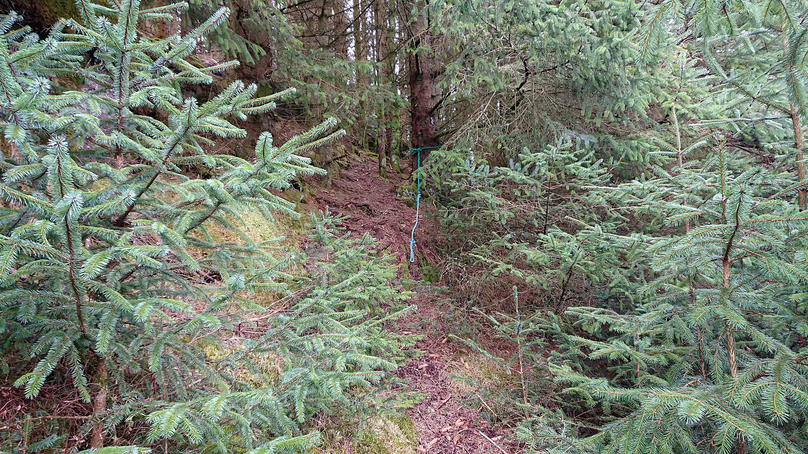
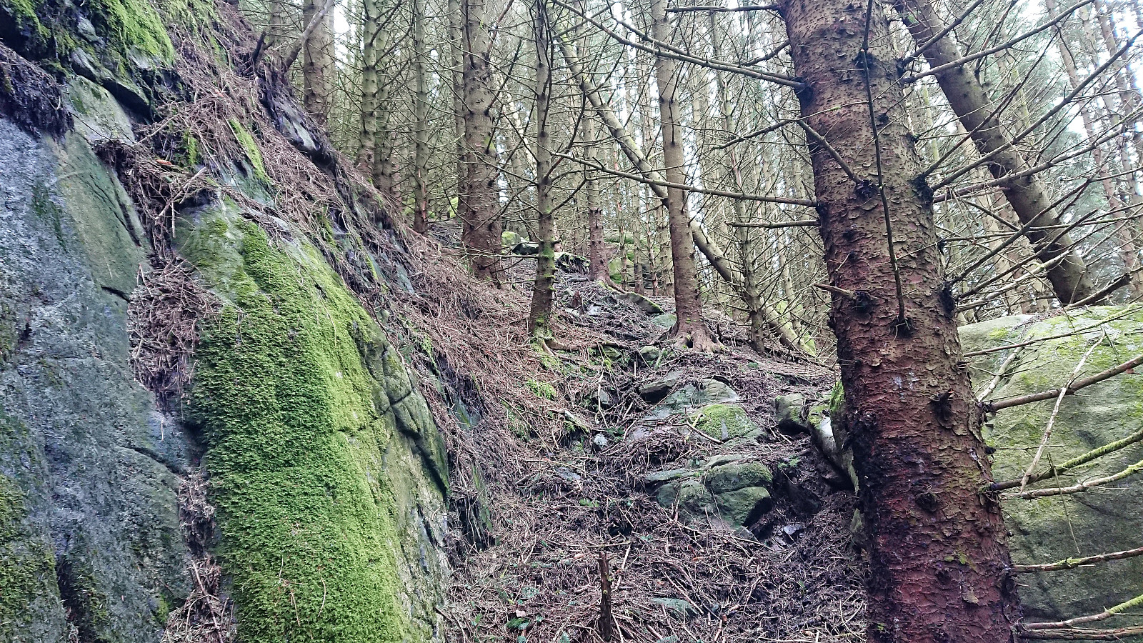
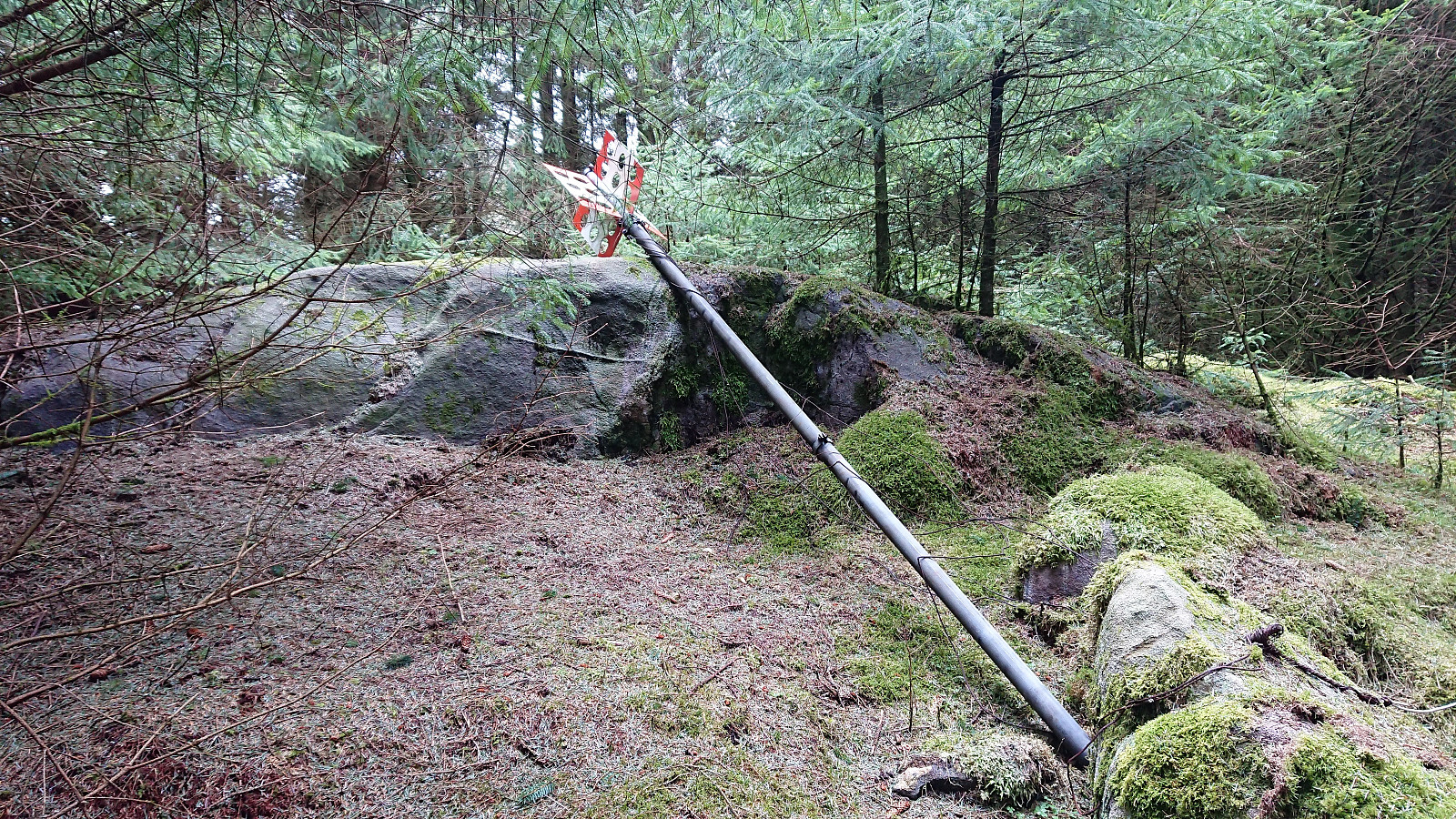
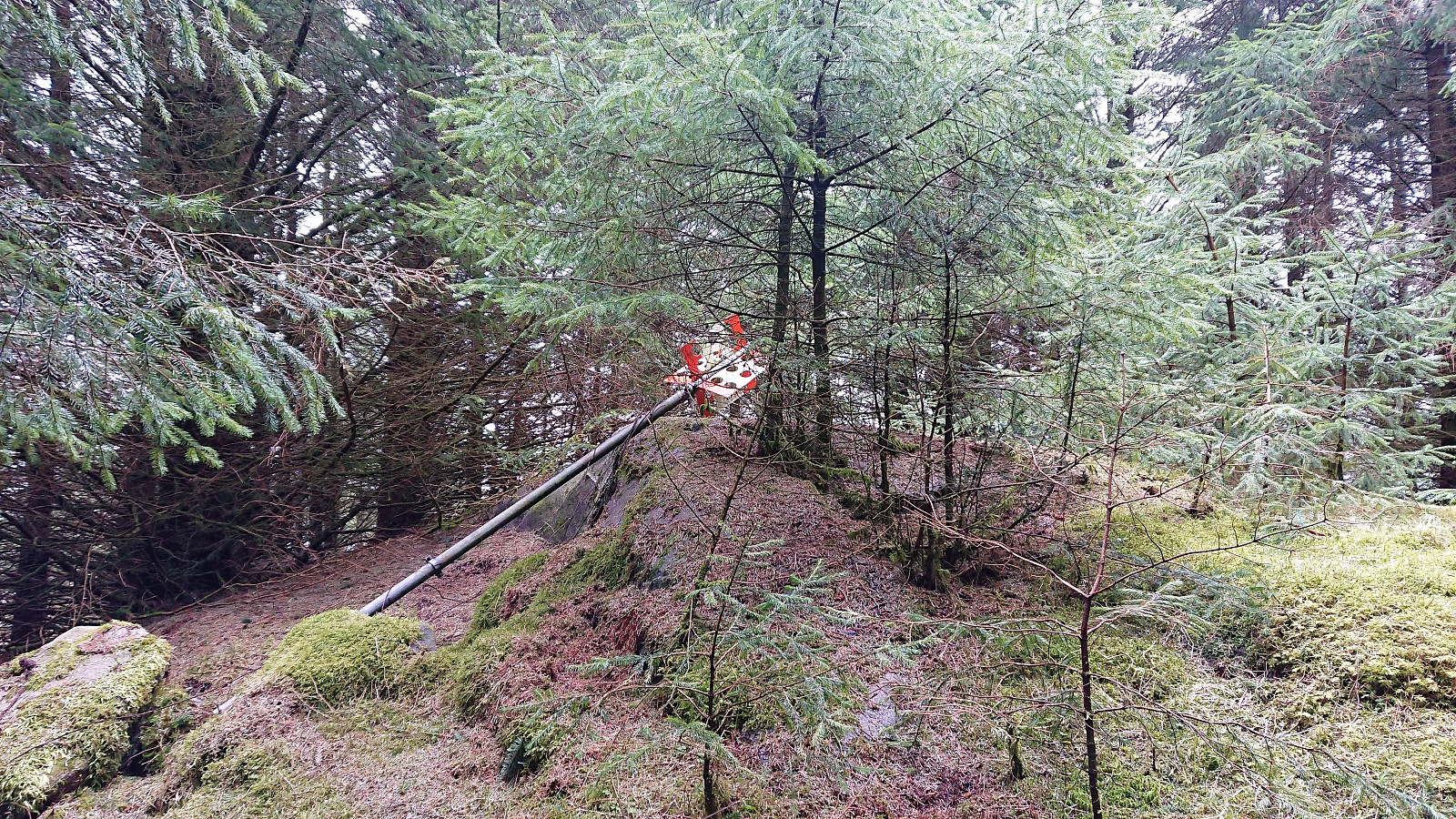
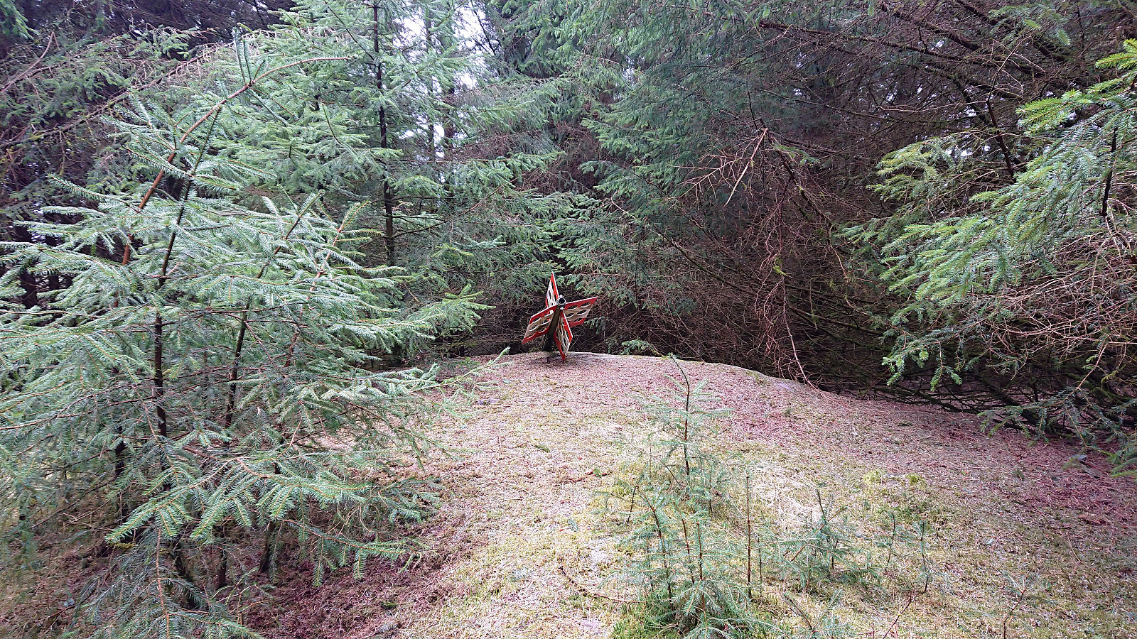
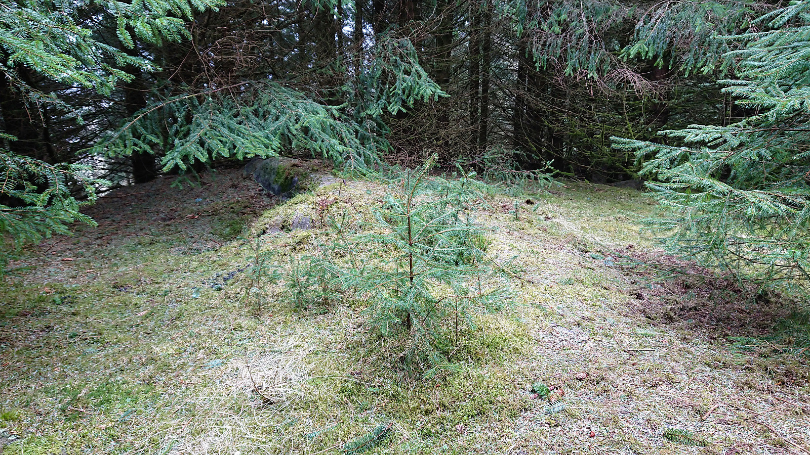
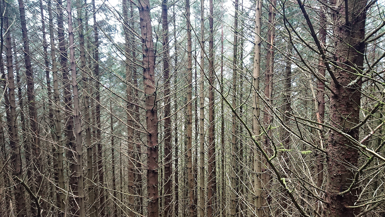
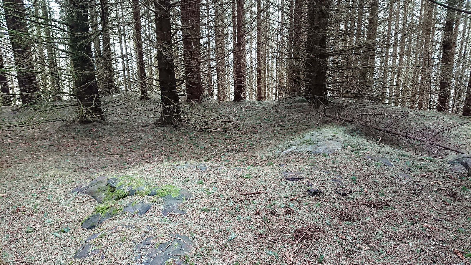
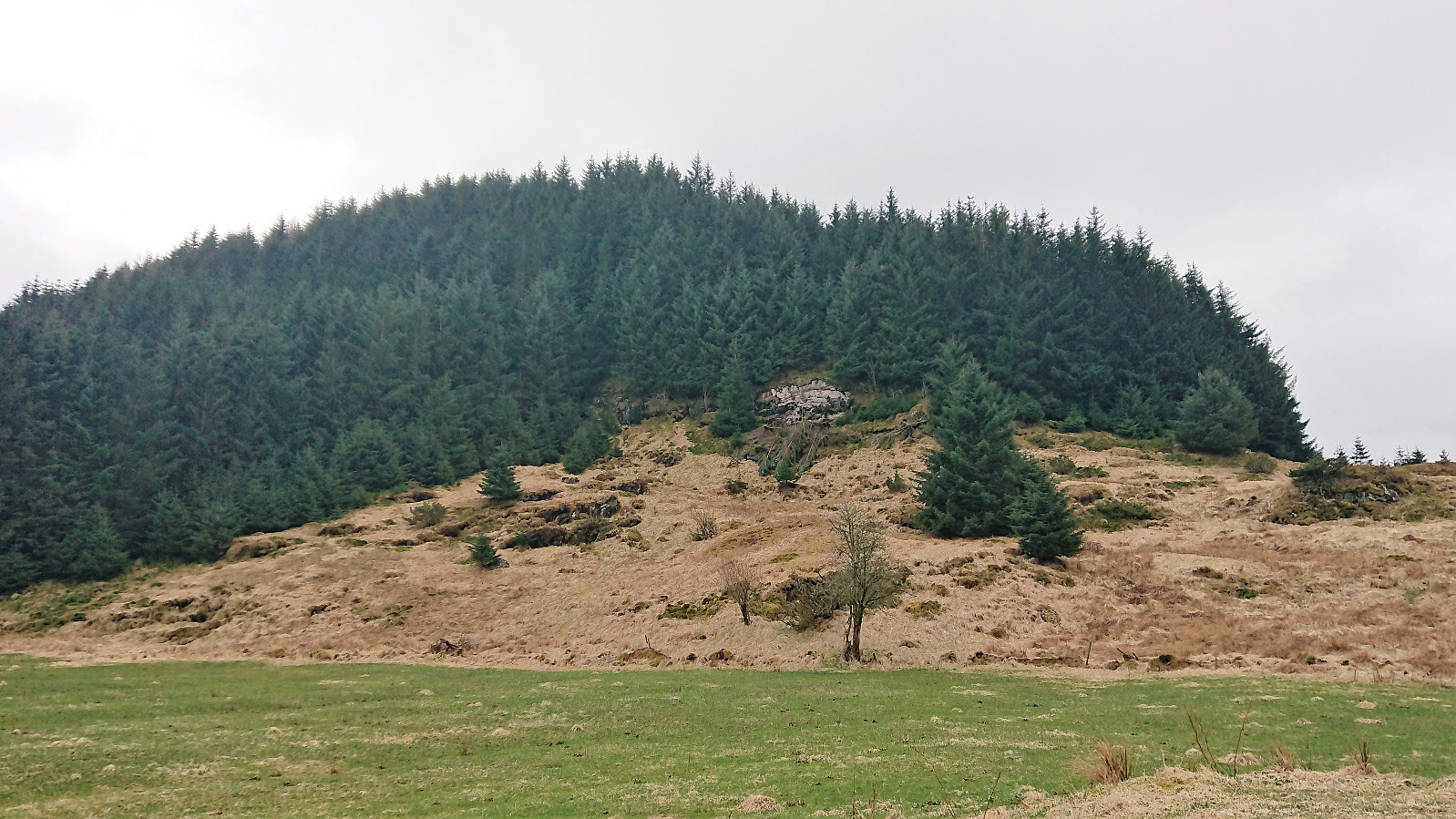
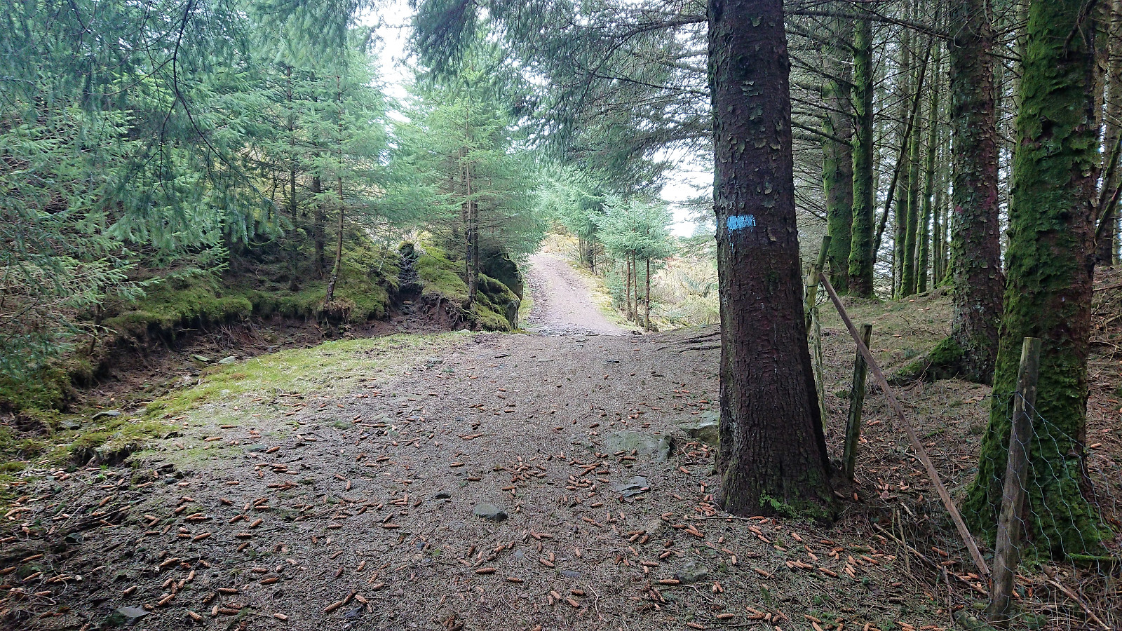
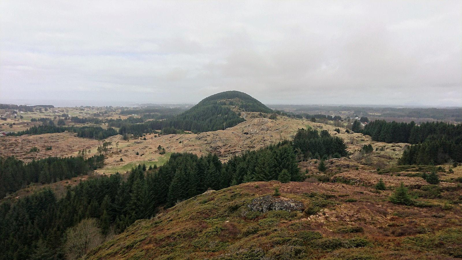
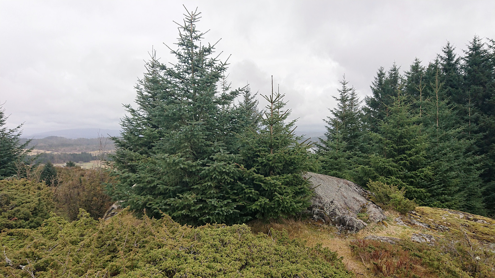
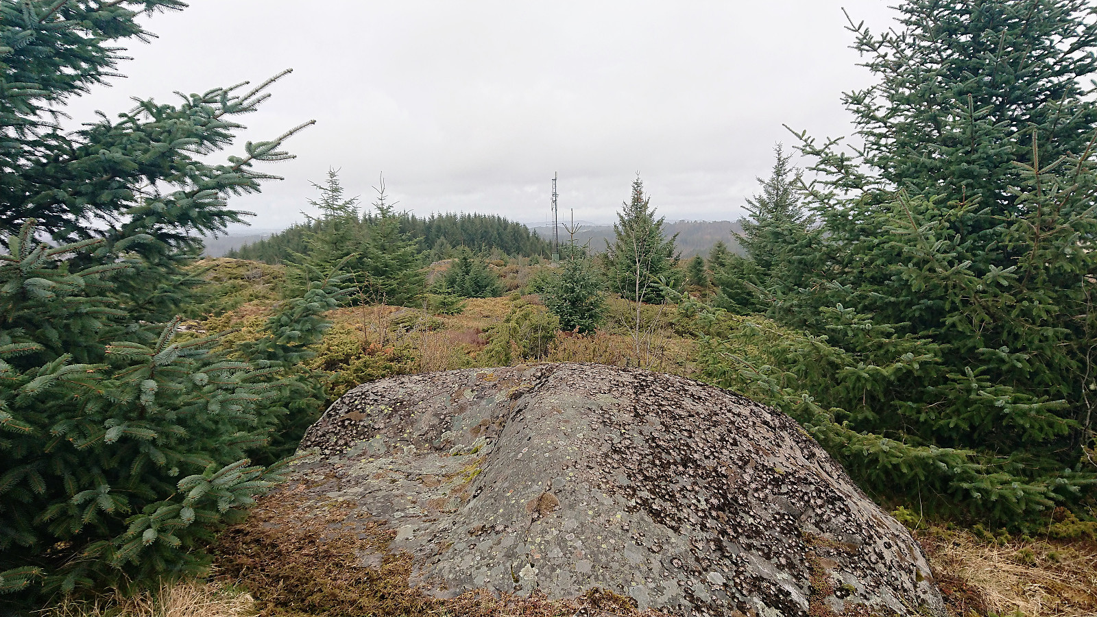
My initial search was unsuccessful, but after consulting GPS tracks from previous PB reports to Kolåsen I managed to locate the hidden entrance in between the trees. To my surprise the trail itself was marked (something that would also have been a good idea for the trailhead?) and I soon found myself at the fallen trig marker. As expected there were no views at all from the summit.
Given that the marked trail continued southeast, I decided to do a short detour to the southern summit, called Nordre Kollhøyen, as well, on the off chance that the views would be better. But although the forest was perhaps slightly less dense, the views were equally poor. I returned the same way, making sure to take some additional pictures of the hidden entrance for future visitors of Kolåsen.
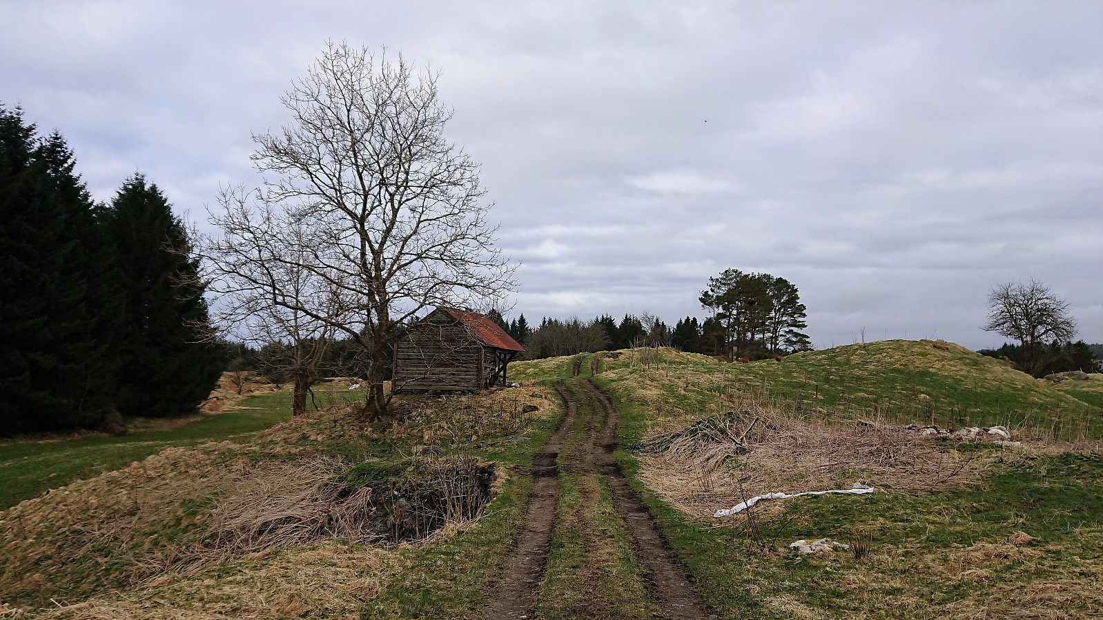
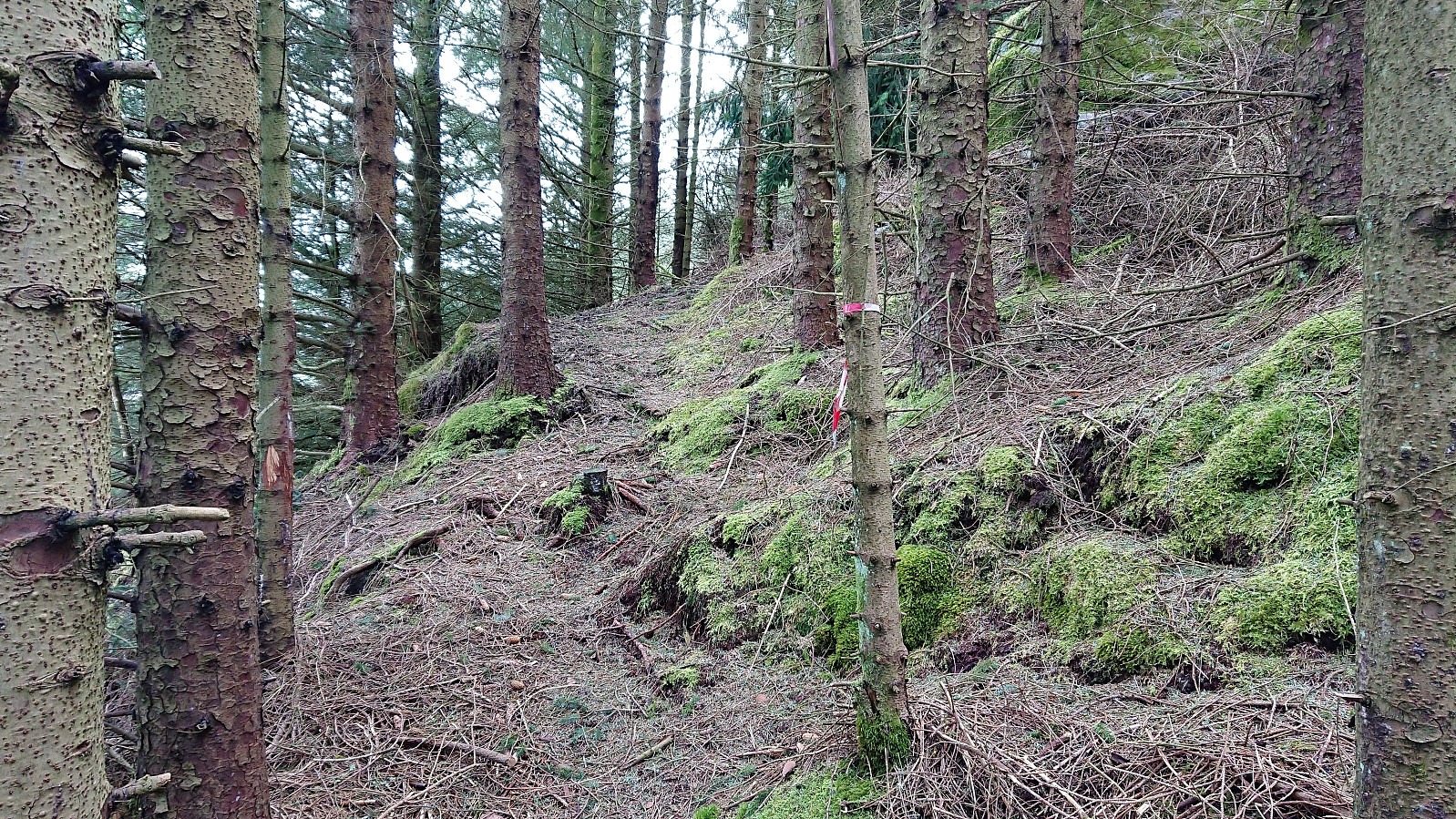
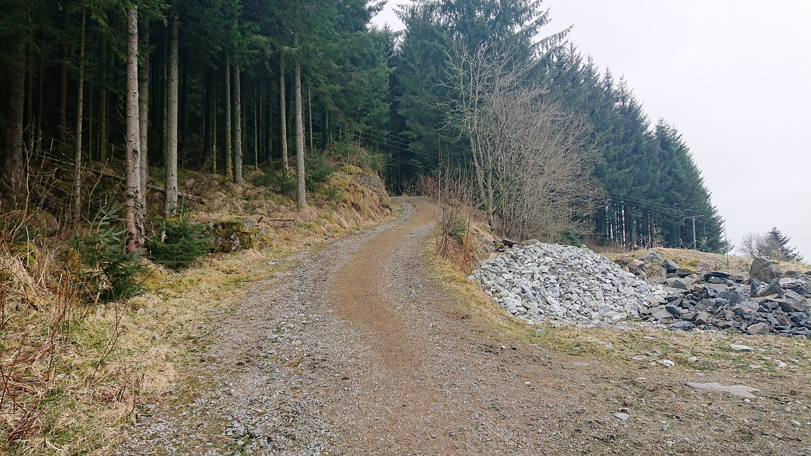
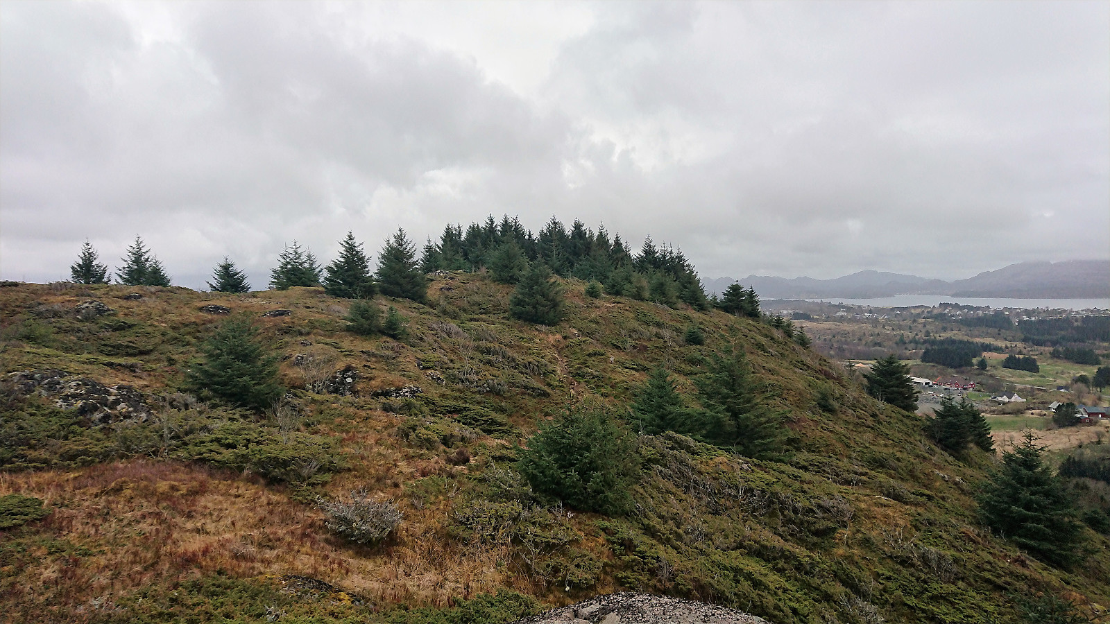
When getting to Tveiten, I realized that I had plenty of time for the planned bus back to Bergen, and decided to include a visit to Tveitåsen as well, which was easily accessible via a tractor road, and later trail. The road was marked with blue paint (at least after passing the last house), but there were no signs that I could see.
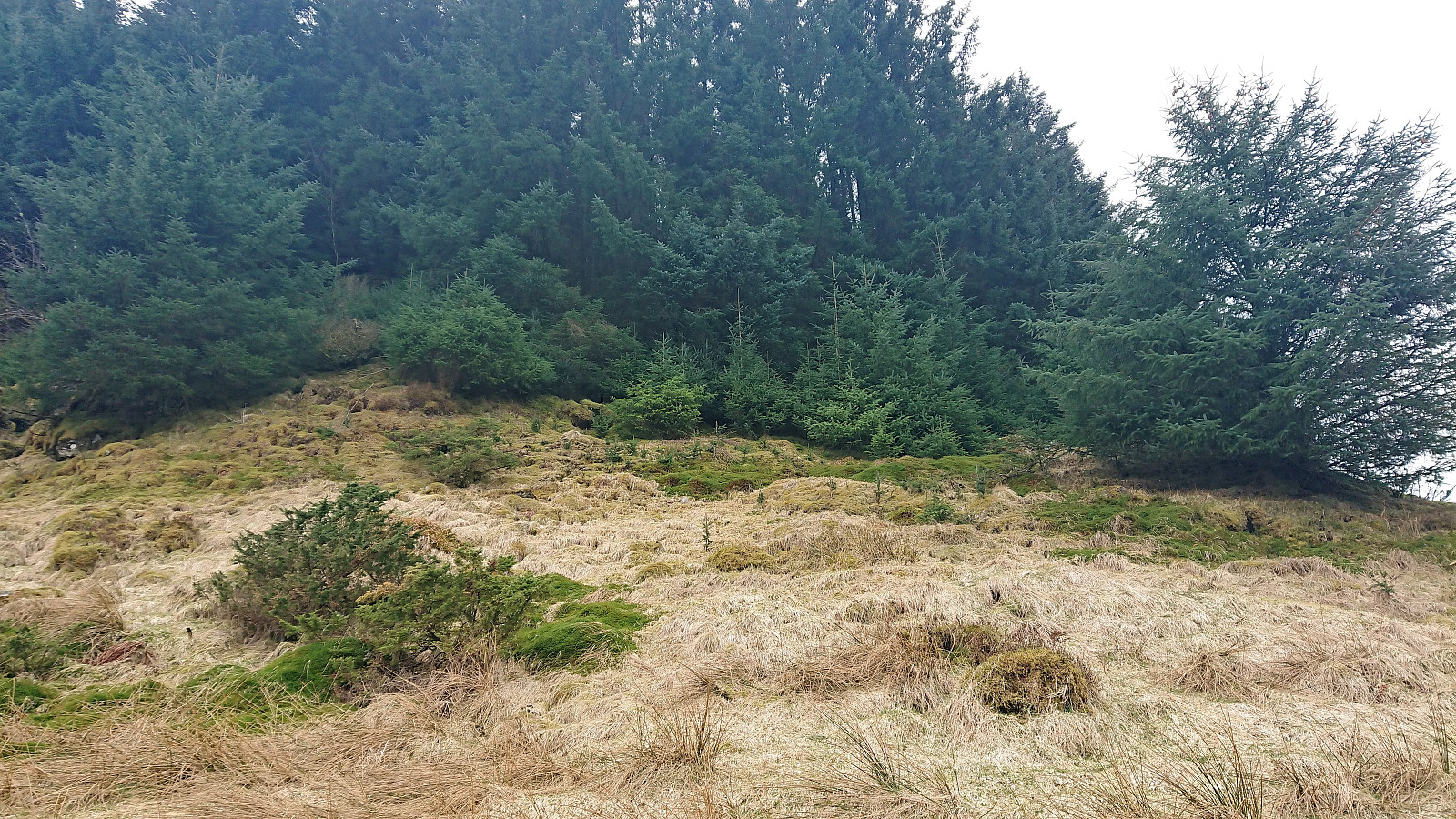
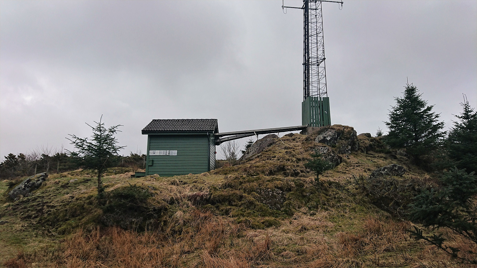
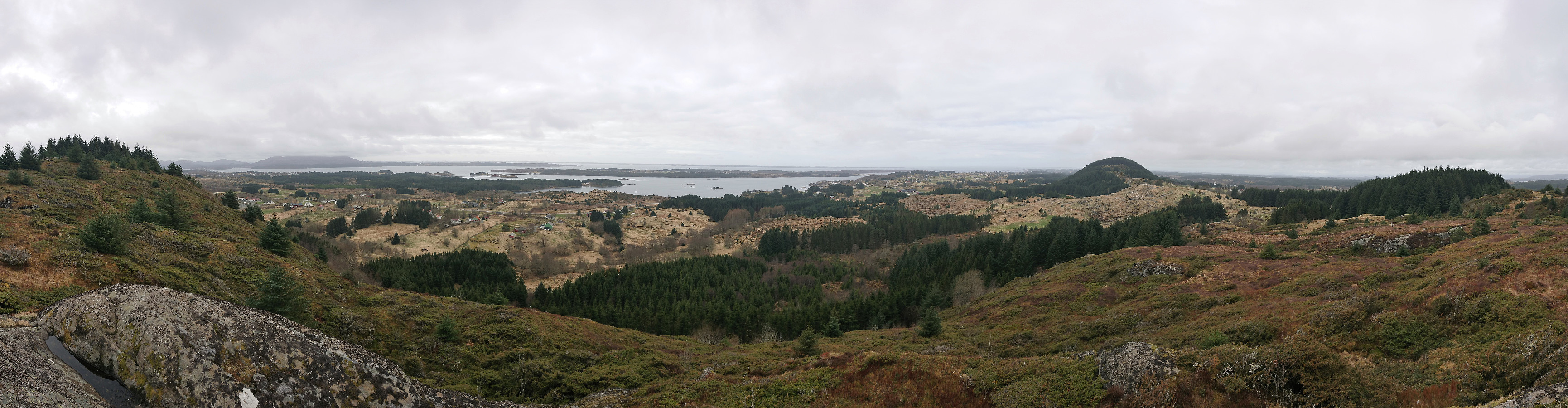
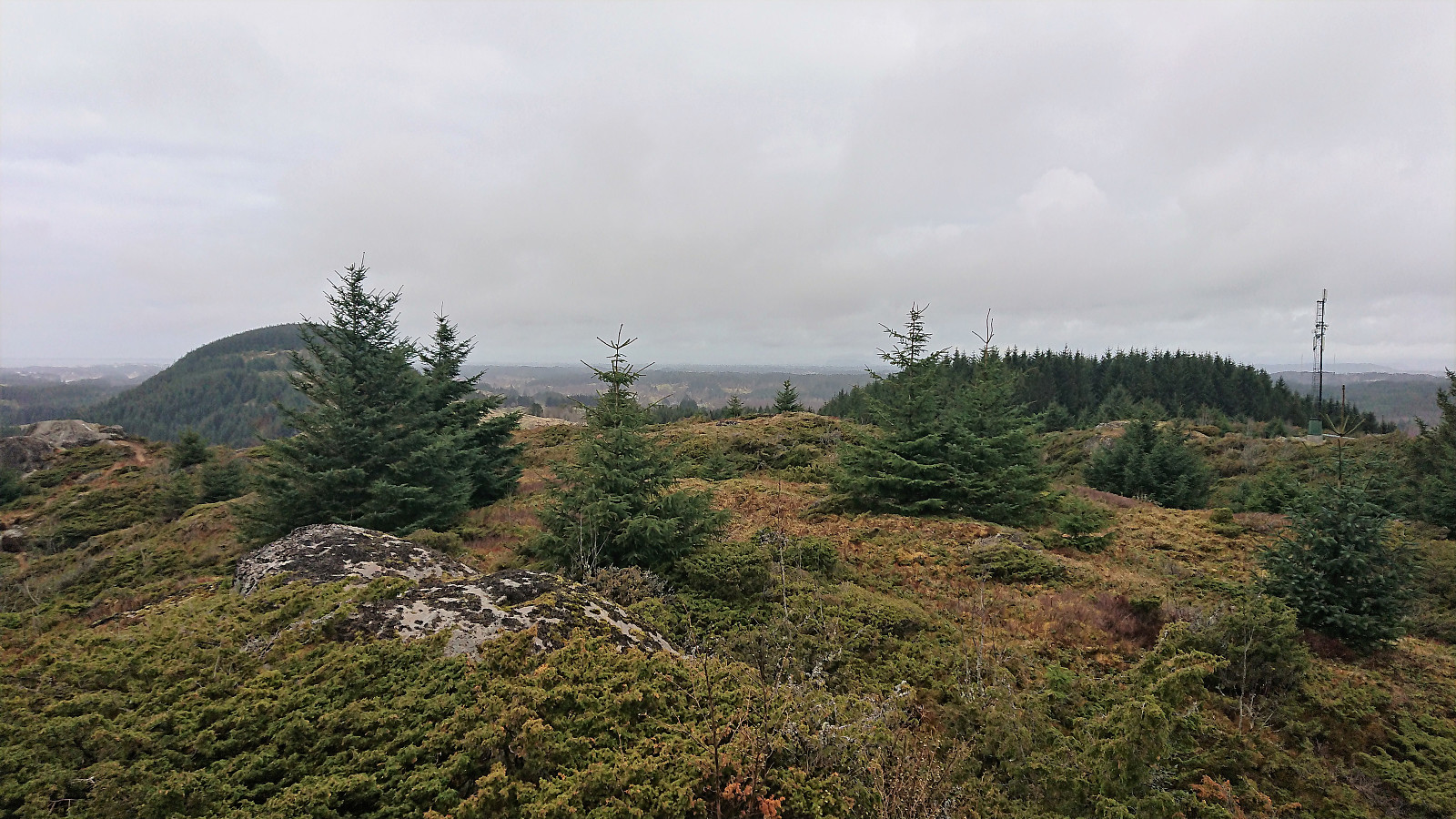
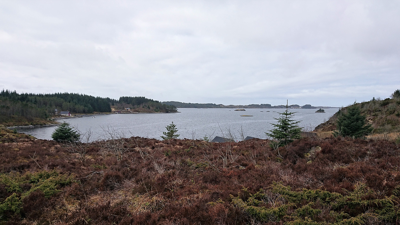
I almost missed the summit as the trail entered the forest south of the summit and I had to make my own shortcut in order to reach the highest point. Much better views from than from Kolåsen, although the views were perhaps even better just northwest of the summit.
My plan was now to follow the trail down to Byrkjeland, but after reentering the forest I quickly lost the trail and had to search a bit before locating a proper trail in the desired direction. Probably easier to just go northeast directly from the summit. (I did notice a trail there when at the summit but did not explore it further as I thought the trail through the forest was the preferred option.)
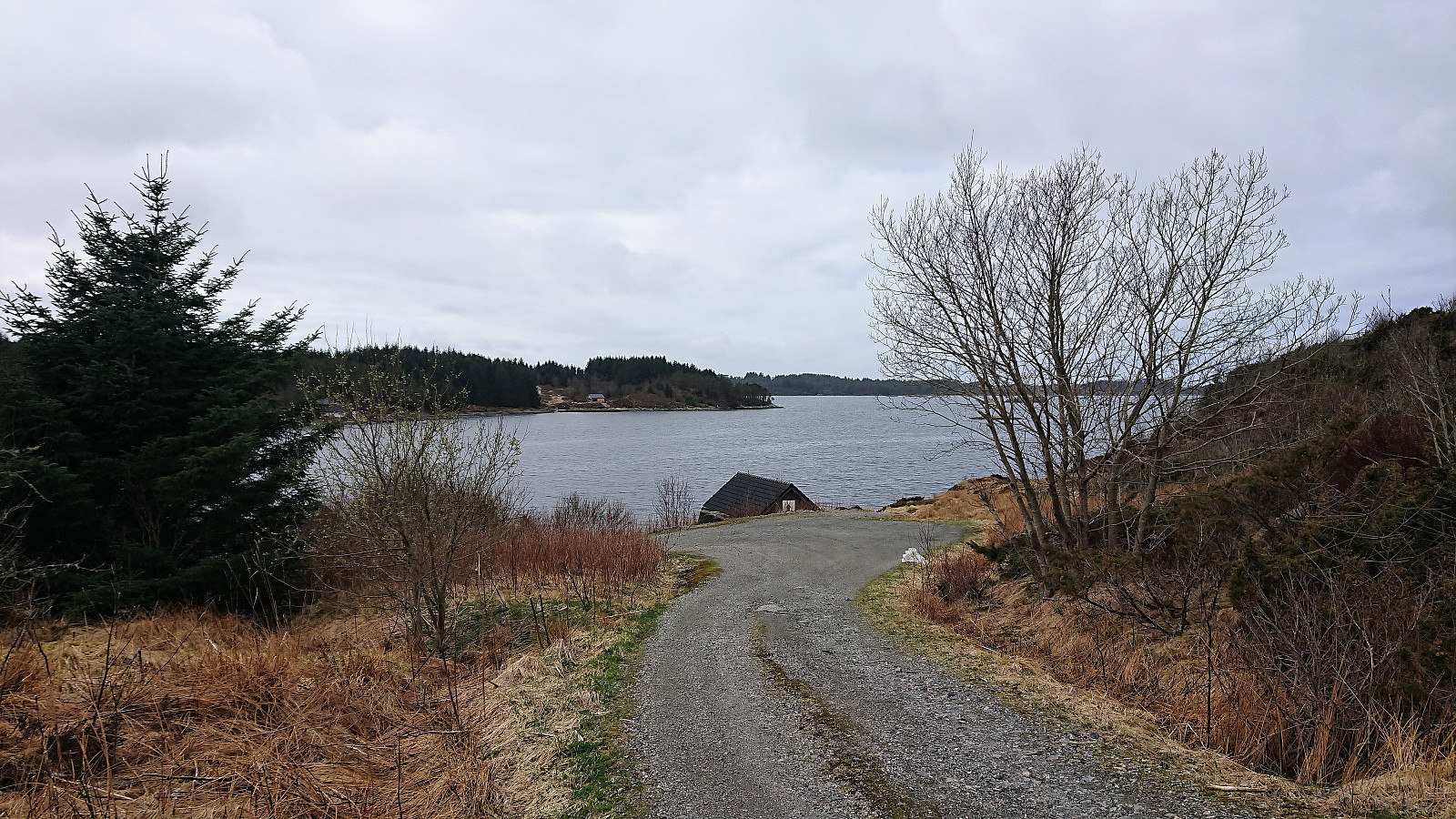
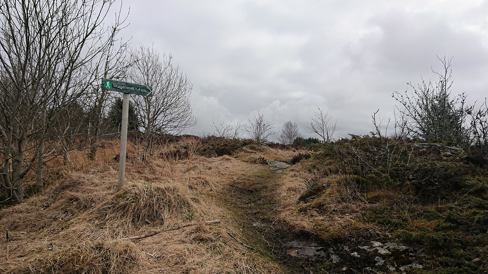
The trail down to Byrkjeland was easy to follow (once found), but relatively wet and muddy. Upon reaching the main road, I continued southwest to Byrkelandsvågen before turning southeast and following a nice trail to Manger and the bus back to Bergen.
In summary, the hidden entrance to the trail to Kolåsen was the clear highlight. Too bad that the non-existent views from the summit probably result in this being my only visit. And while the views from Tveitåsen were significantly better, it is most likely not worth a separate visit, however it does make a nice addition if one is in the area to ascend Kolåsen.
| Starttidspunkt | 21.04.2018 10:23 (UTC+01:00 ST) |
| Sluttidspunkt | 21.04.2018 13:23 (UTC+01:00 ST) |
| Totaltid | 3t 00min |
| Bevegelsestid | 2t 54min |
| Pausetid | 0t 5min |
| Snittfart totalt | 4,7km/t |
| Snittfart bevegelsestid | 4,8km/t |
| Distanse | 14,0km |
| Høydemeter | 437m |


Kommentarer