
Kambafjellet and Blåfjellet (28.03.2018)

Skrevet av hbar (Harald Barsnes)

| Startsted | Top of Rindabotn ski lift (940moh) |
|---|---|
| Sluttsted | Rindabotn (597moh) |
| Turtype | Fjellskitur |
| Turlengde | 2t 32min |
| Distanse | 12,1km |
| Høydemeter | 532m |
| GPS |
|
| Bestigninger | Blåfjellet (1400moh) | 28.03.2018 |
|---|---|---|
| Blåfjellet Øst (1397moh) | 28.03.2018 | |
| Kambafjellet (1220moh) | 28.03.2018 | |
| Andre besøkte PBE'er | Rindabotn p-plass (595moh) | 28.03.2018 |
| Rindabotn skitrekk (613moh) | 28.03.2018 |
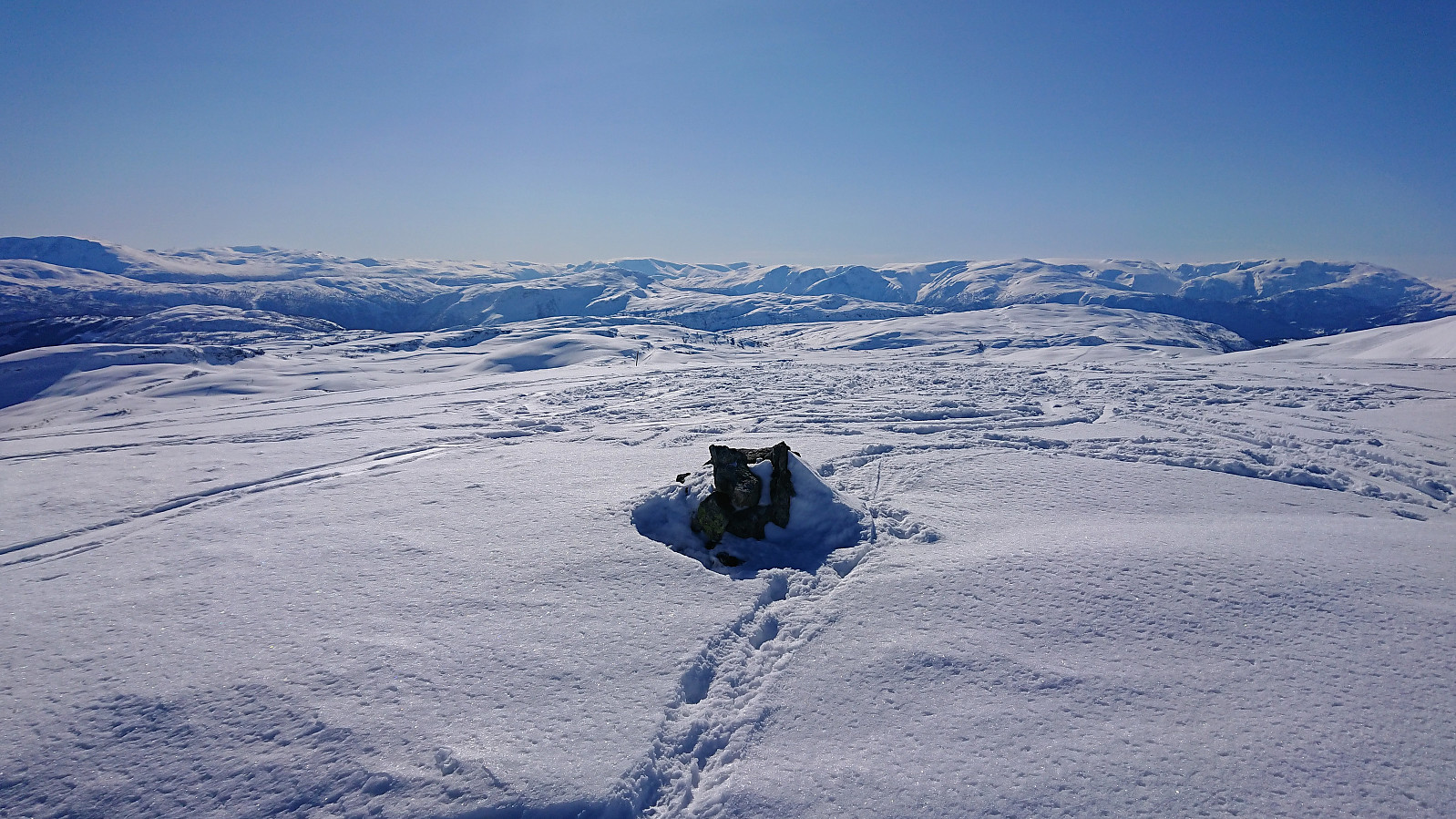
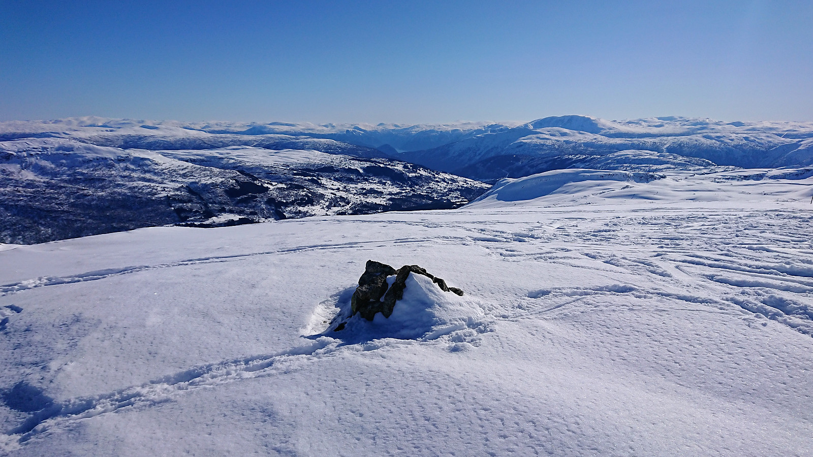
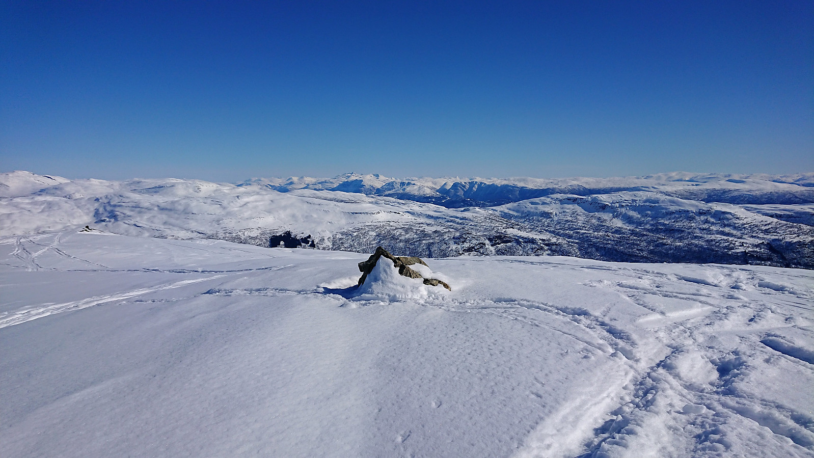
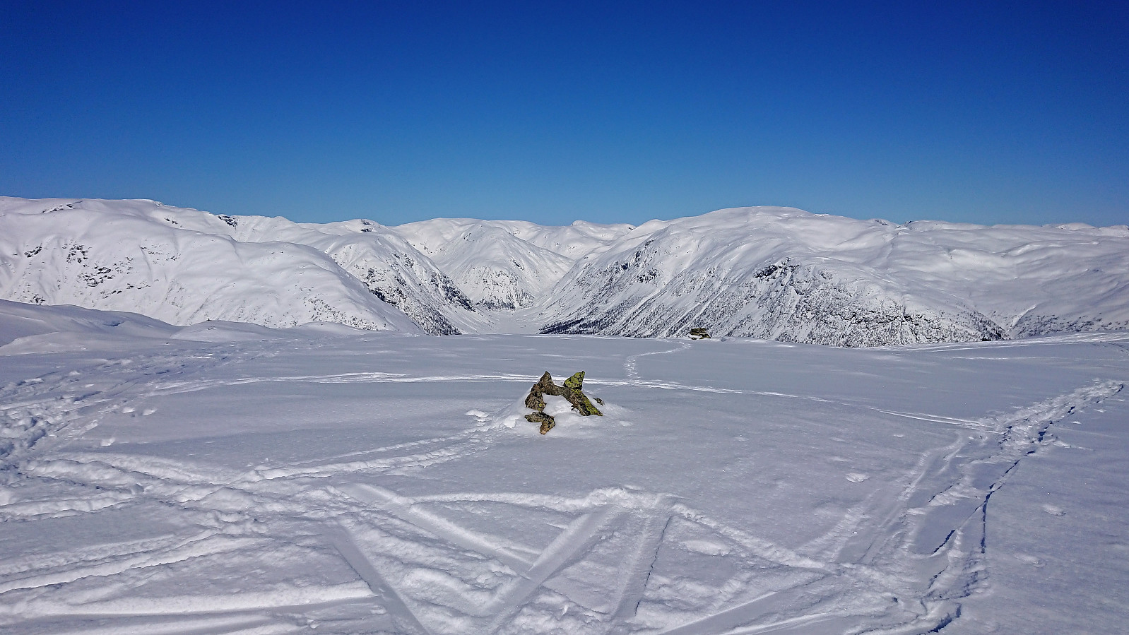
Kambafjellet and Blåfjellet
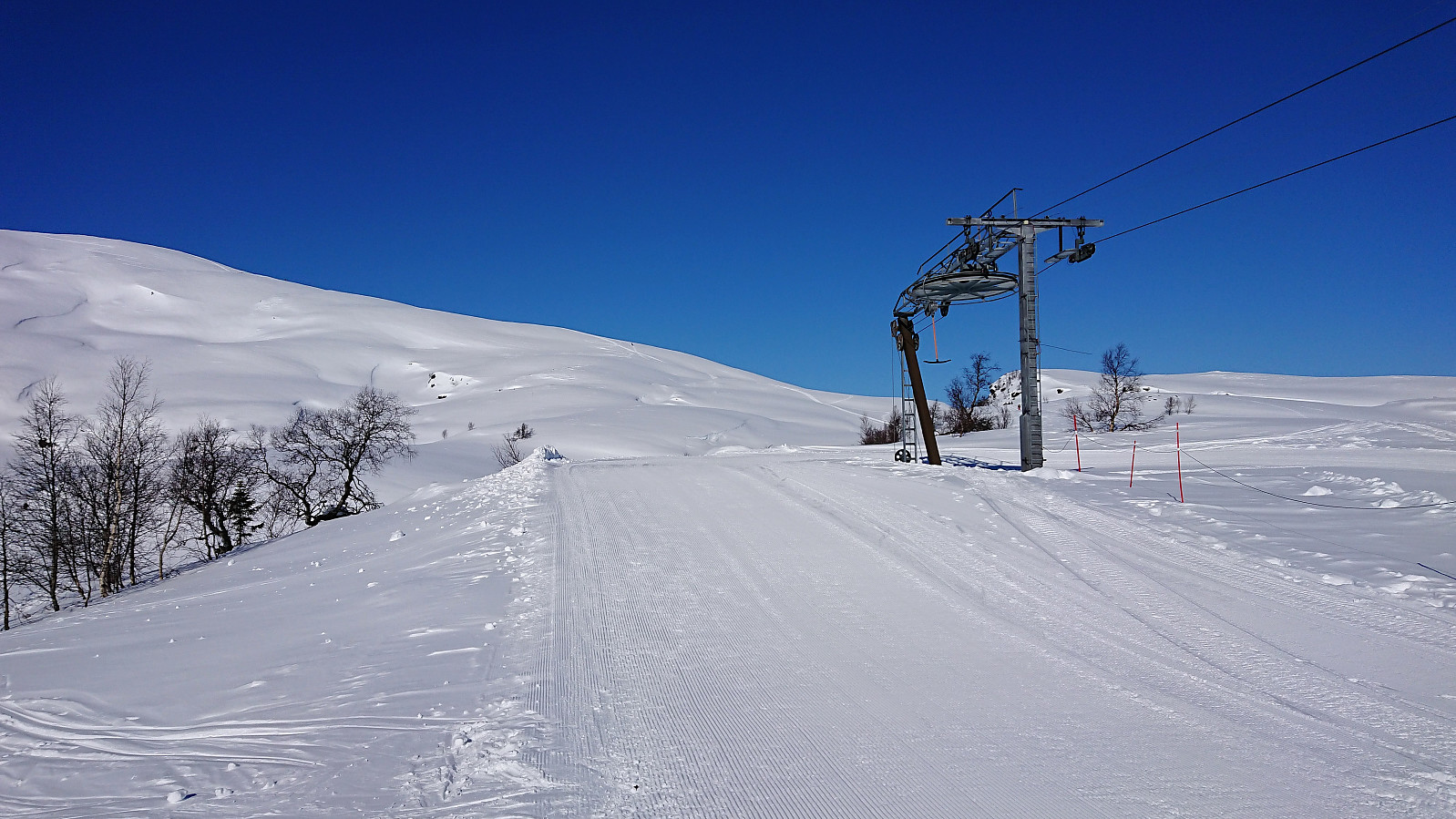
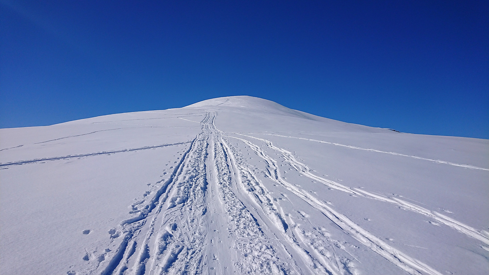
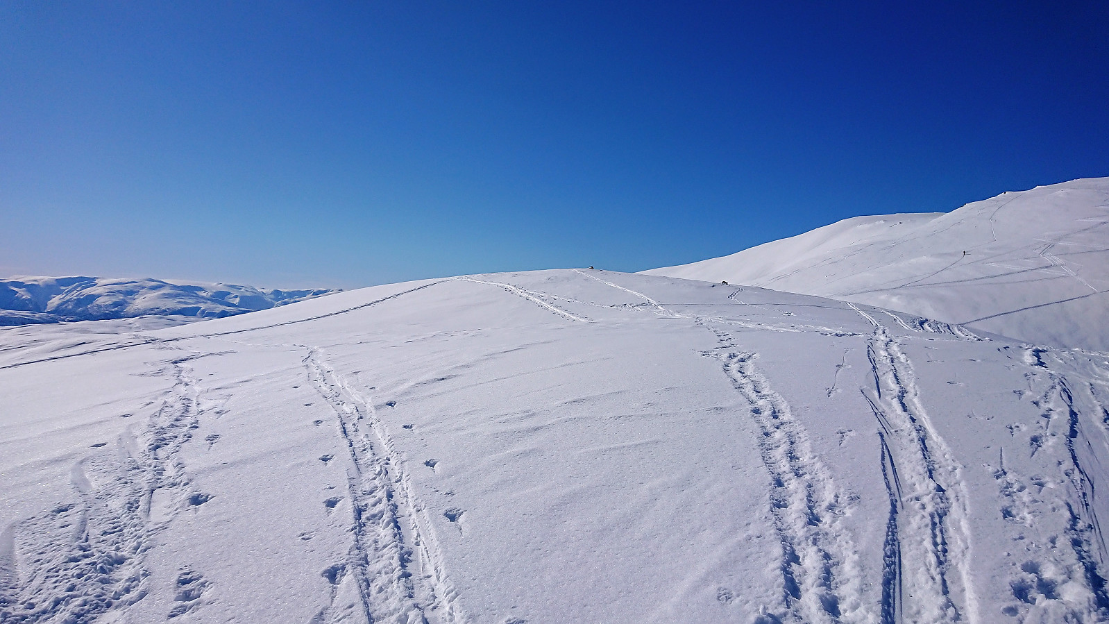
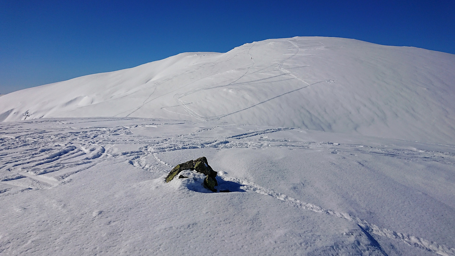
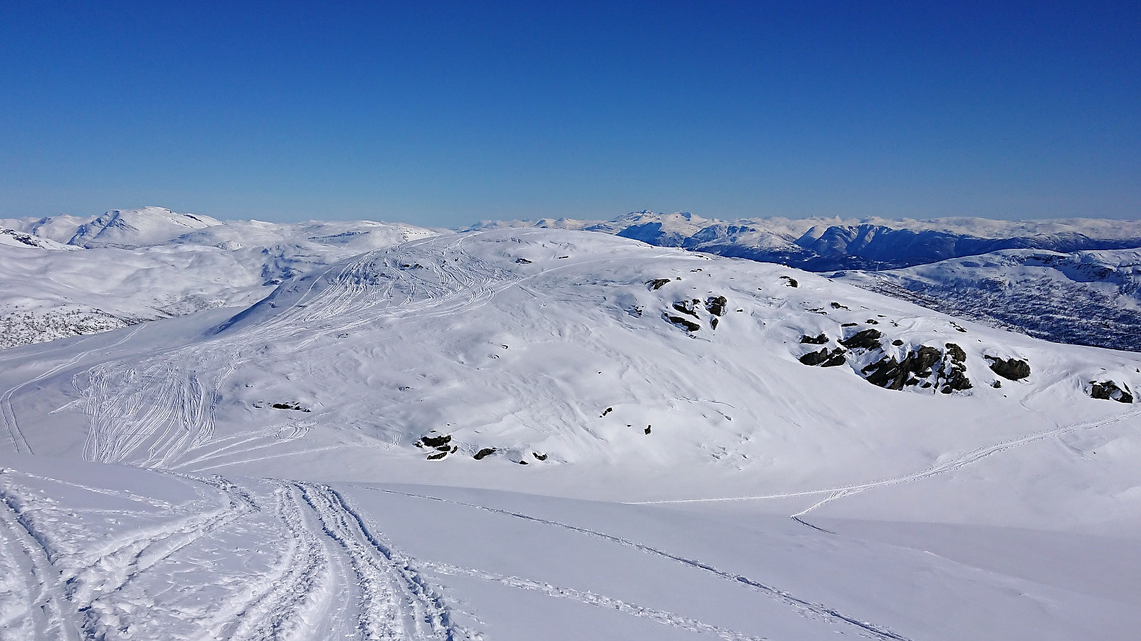
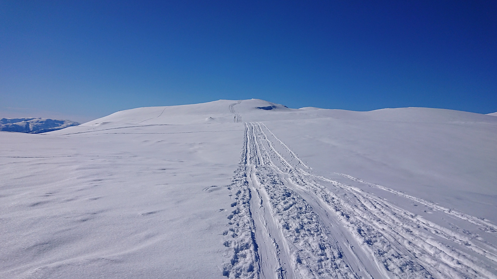
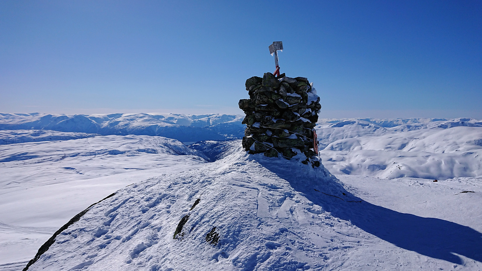
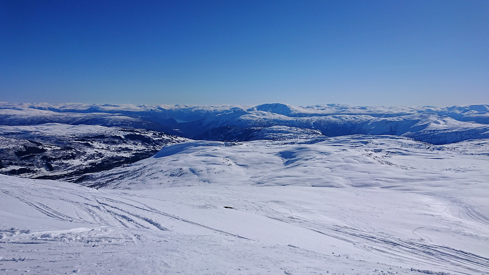
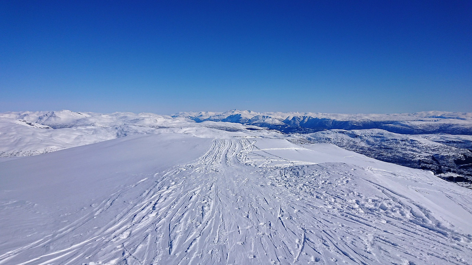
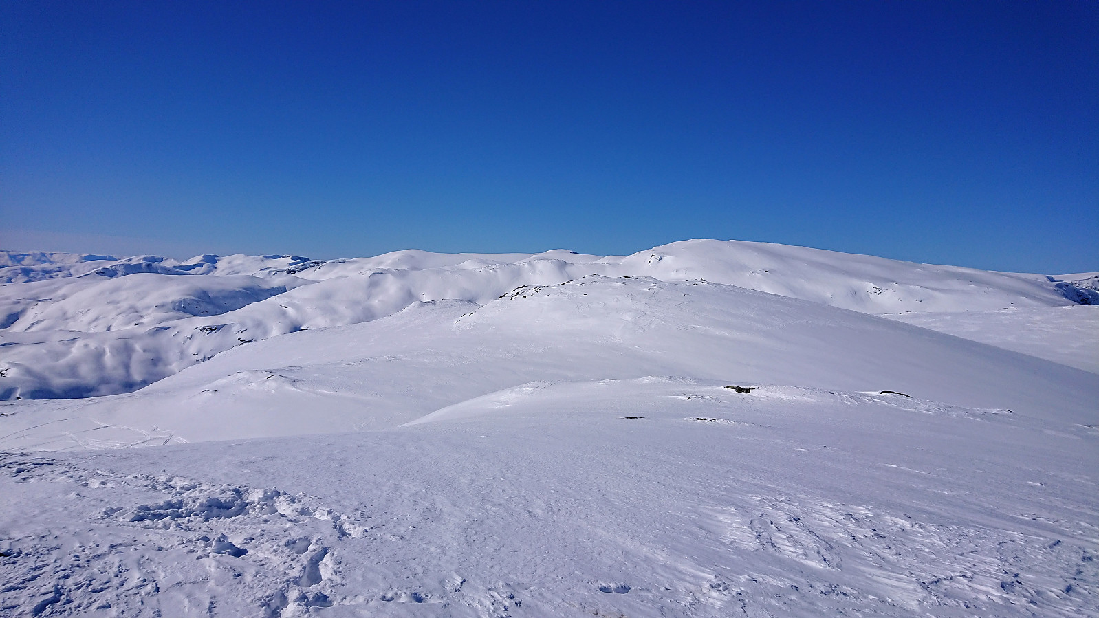
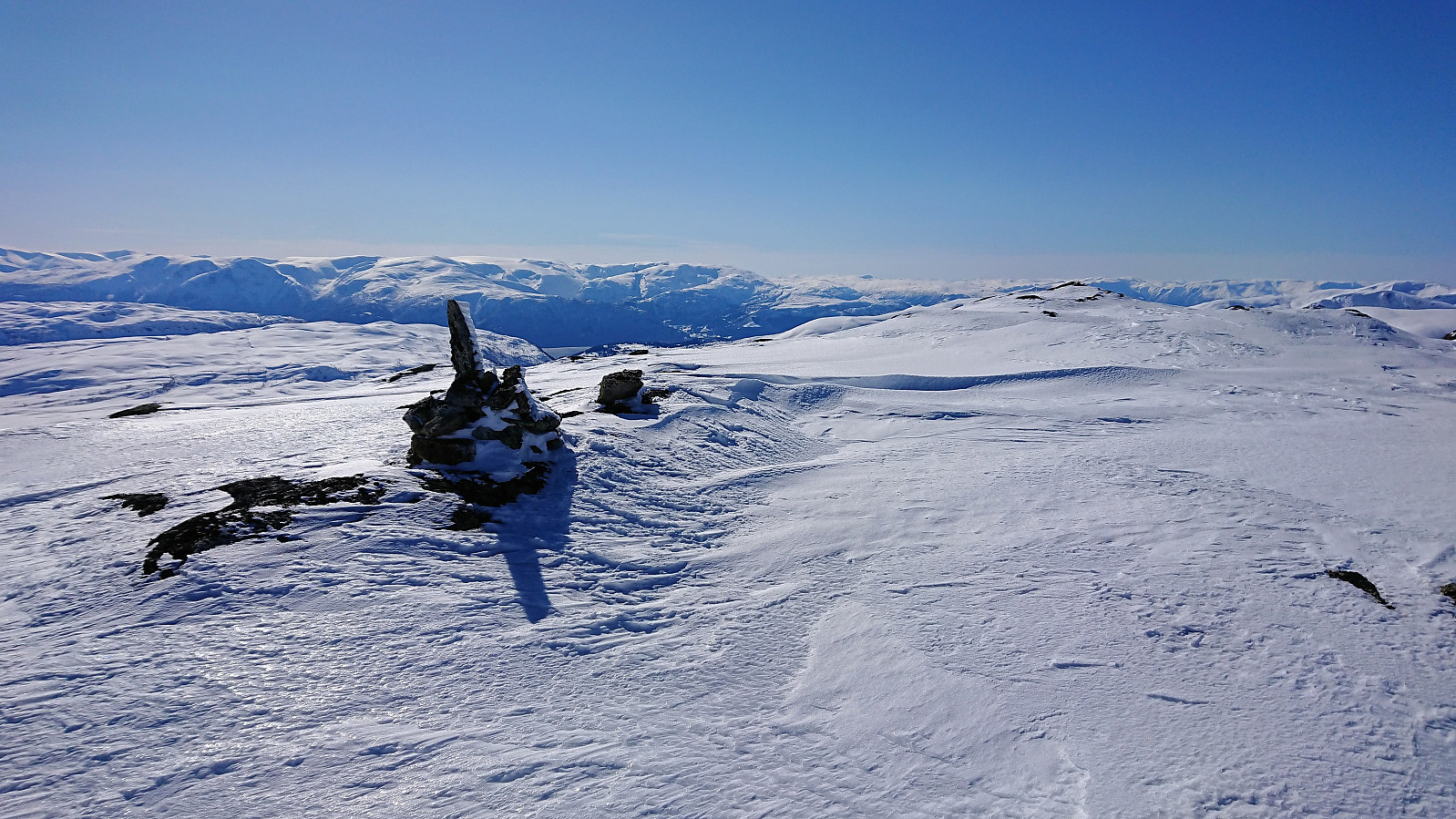
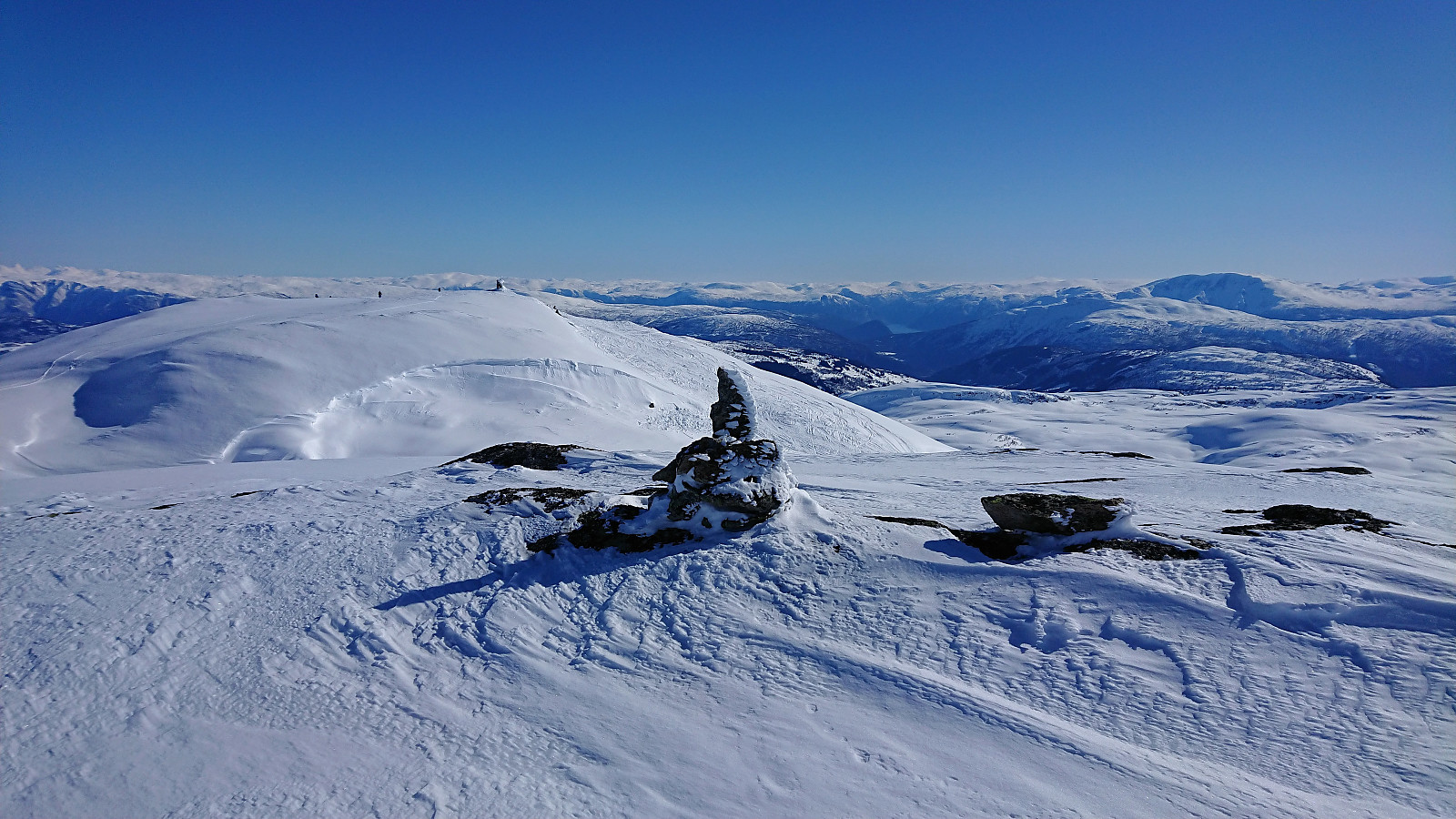
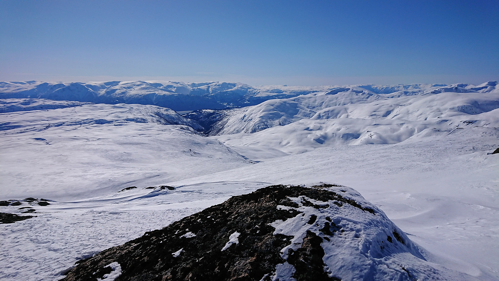
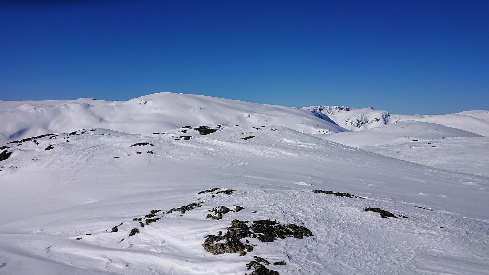
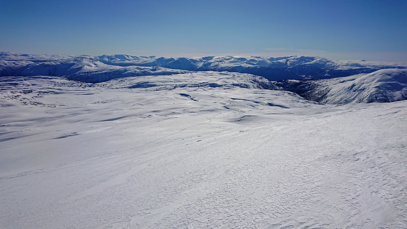
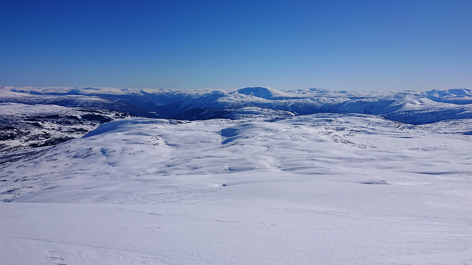
Started by taking the ski lift from Rindabotn and from the top followed the tracks of previous skiers across Kambafjellet towards Blåfjellet. Upon reaching the large cairn at Blåfjellet I continued east towards the real slightly taller summit. No tracks to follow here. After removing the climbing skins I made my own way down to the Red Cross cabin (called Britabu) located right next to Britastein, before following the standard skiing trail back down to Rindabotn. Overall an excellent trip that can be highly recommended!


| Starttidspunkt | 28.03.2018 12:25 (UTC+01:00 ST) |
| Sluttidspunkt | 28.03.2018 14:57 (UTC+01:00 ST) |
| Totaltid | 2t 32min |
| Bevegelsestid | 2t 05min |
| Pausetid | 0t 27min |
| Snittfart totalt | 4,8km/t |
| Snittfart bevegelsestid | 5,8km/t |
| Distanse | 12,1km |
| Høydemeter | 532m |


Kommentarer