
Stolåsen (14.03.2018)

Geschrieben von hbar (Harald Barsnes)

| Startpunkt | Førde (10m) |
|---|---|
| Endpunkt | Børnes (37m) |
| Tourcharakter | Bergtour |
| Tourlänge | 2h 16min |
| Entfernung | 8,3km |
| Höhenmeter | 370m |
| GPS |
|
| Besteigungen | Storlåsen (211m) | 14.03.2018 |
|---|
Stolåsen
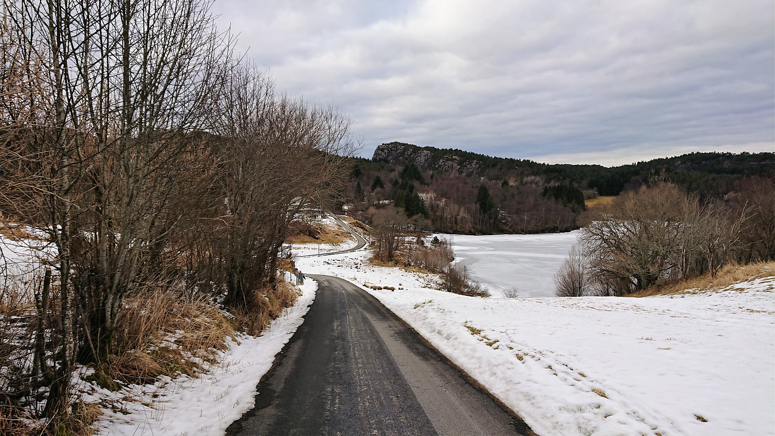
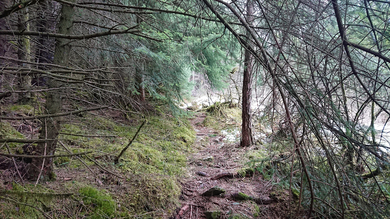

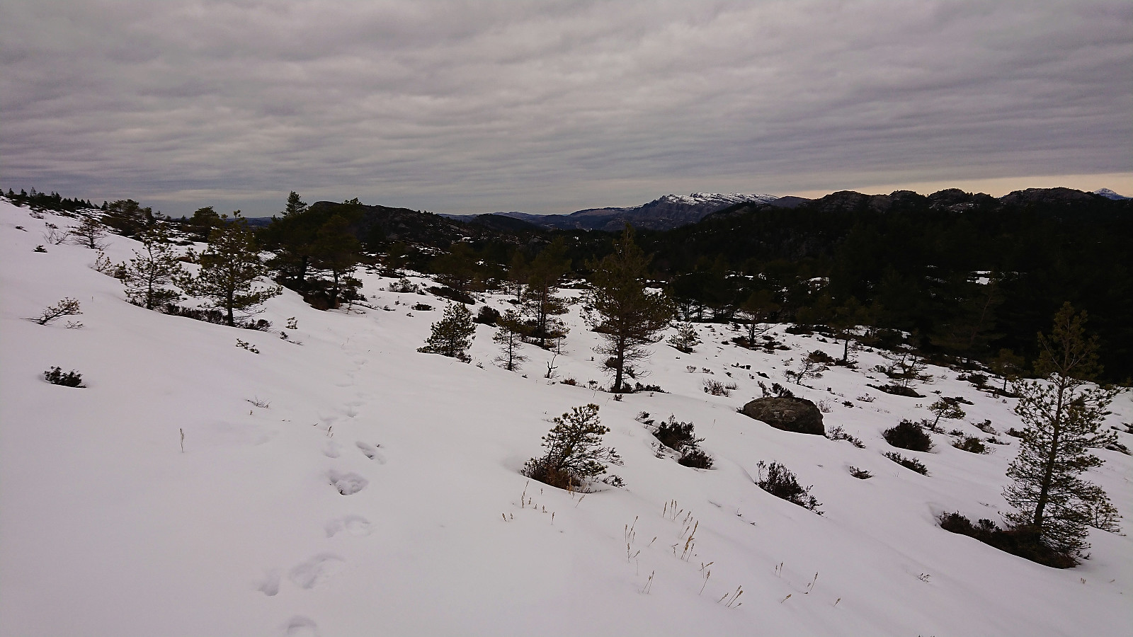
Started by taking the bus to Førde (bus stop Førdespollen) and walking northwest along the road until reaching the tractor road to Langavatnet. I was happy to see footprints in the snow, hoping that these would continue all the way to the summit of Stolåsen.
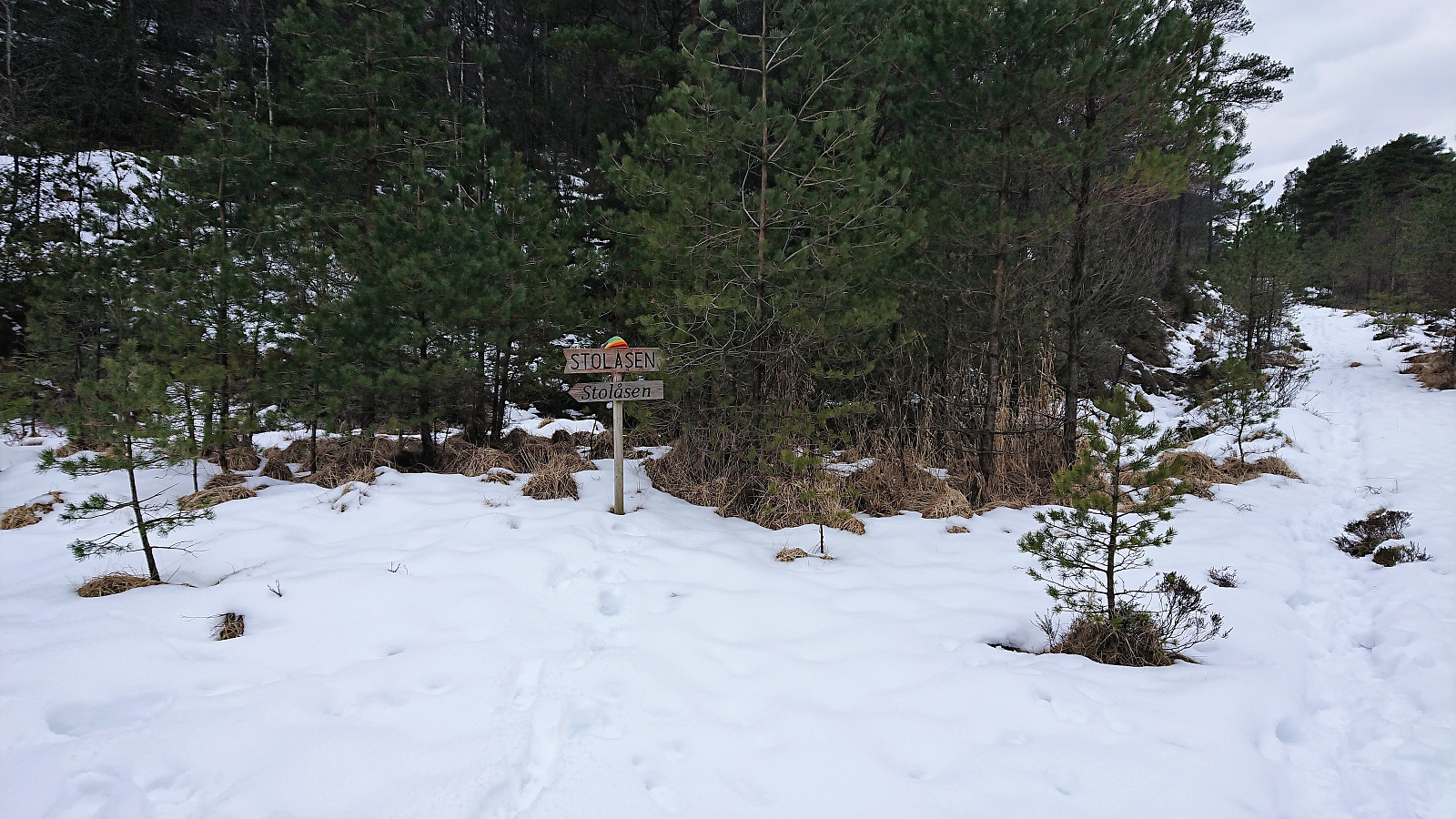
Shortly after leaving the paved road I spotted the first deer, of which there would be numerous traces in the form of hoofprints throughout the hike. In fact they were soon more common that footprints. At the crossroads with the first signs for Stolåsen there was only one set of footprints coming from the planned direction. I still decided to turn left (west) at the sign and thus ascend Stolåsen from the south.
Less than a minute later I heard, and later saw, the second (and maybe a third?) deer, and with 2-3 deer spotted in less than half an hour, I tried to move silently in the hope of seeing more. The snow however made it impossible to move silently, which probably scared away the rest of the deer.
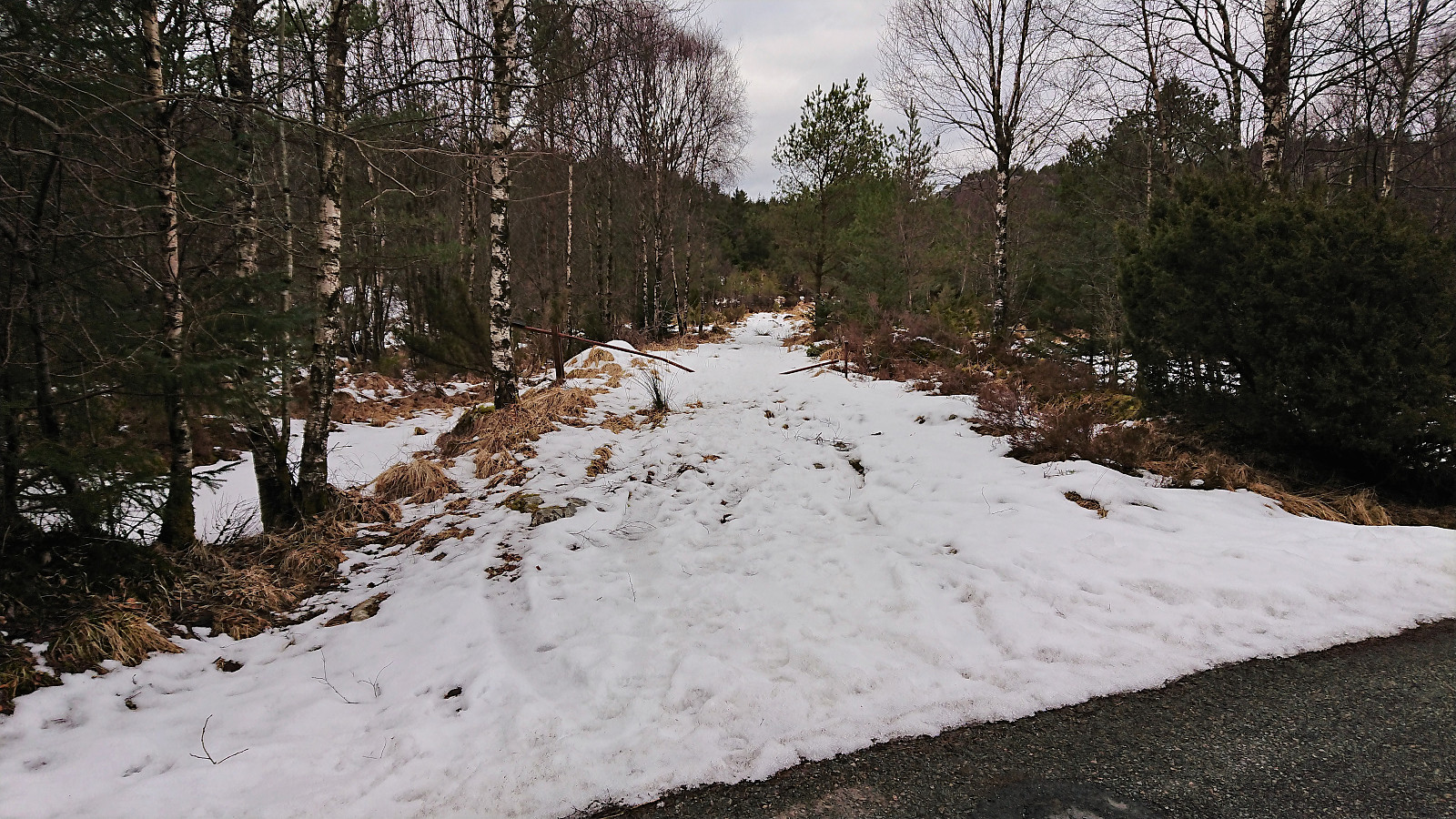
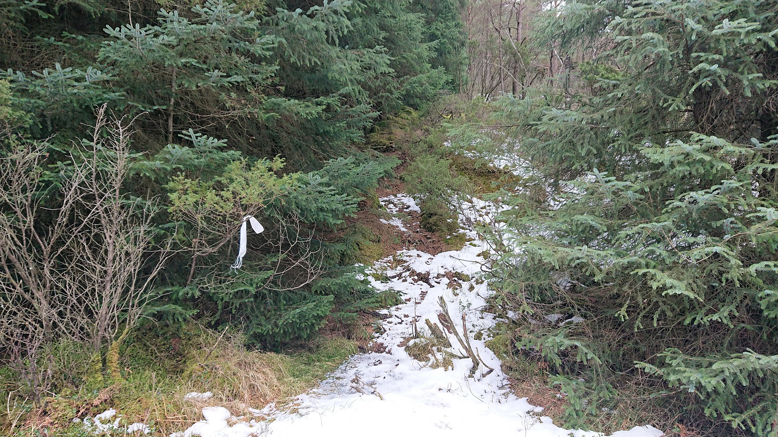
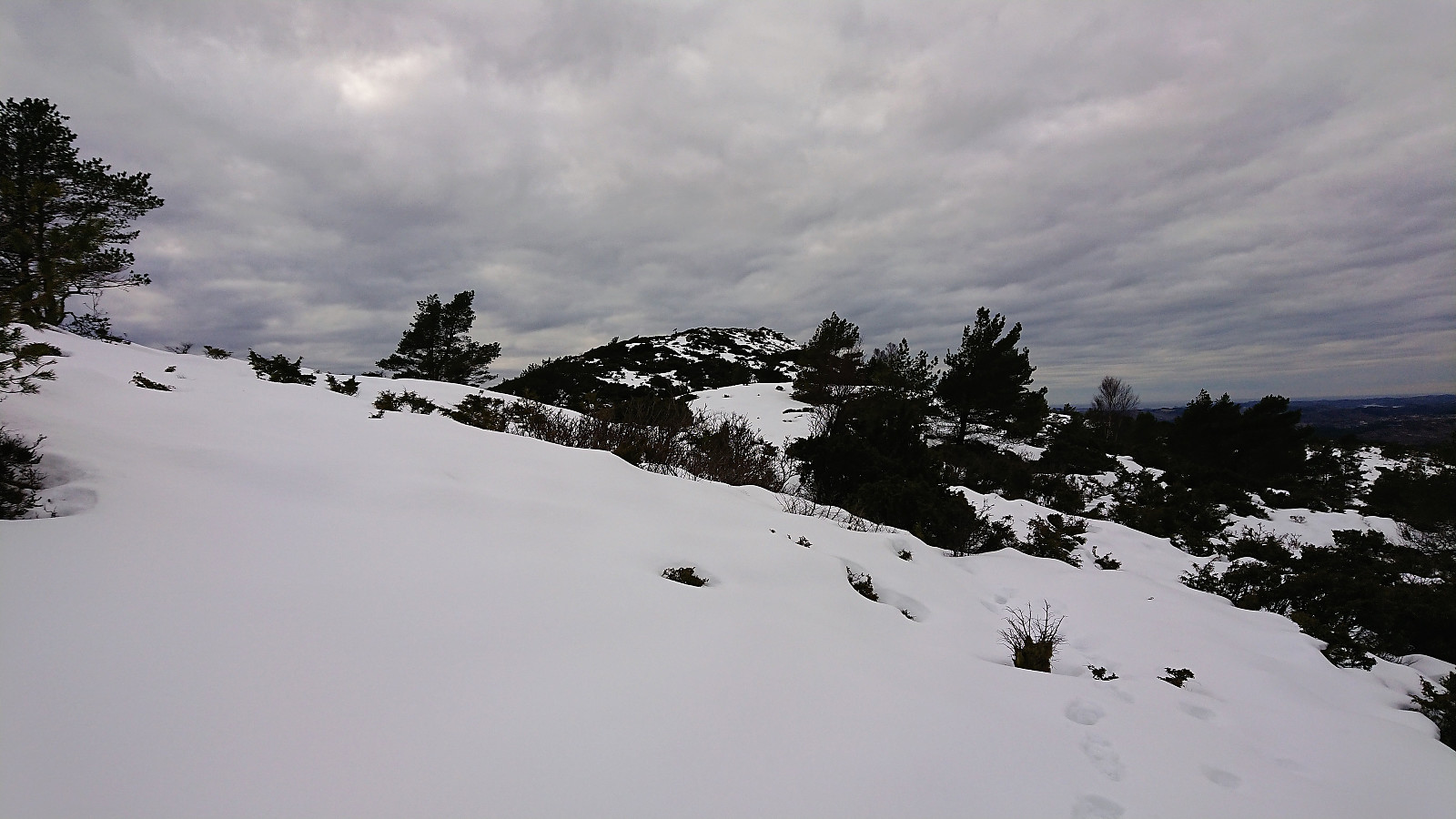
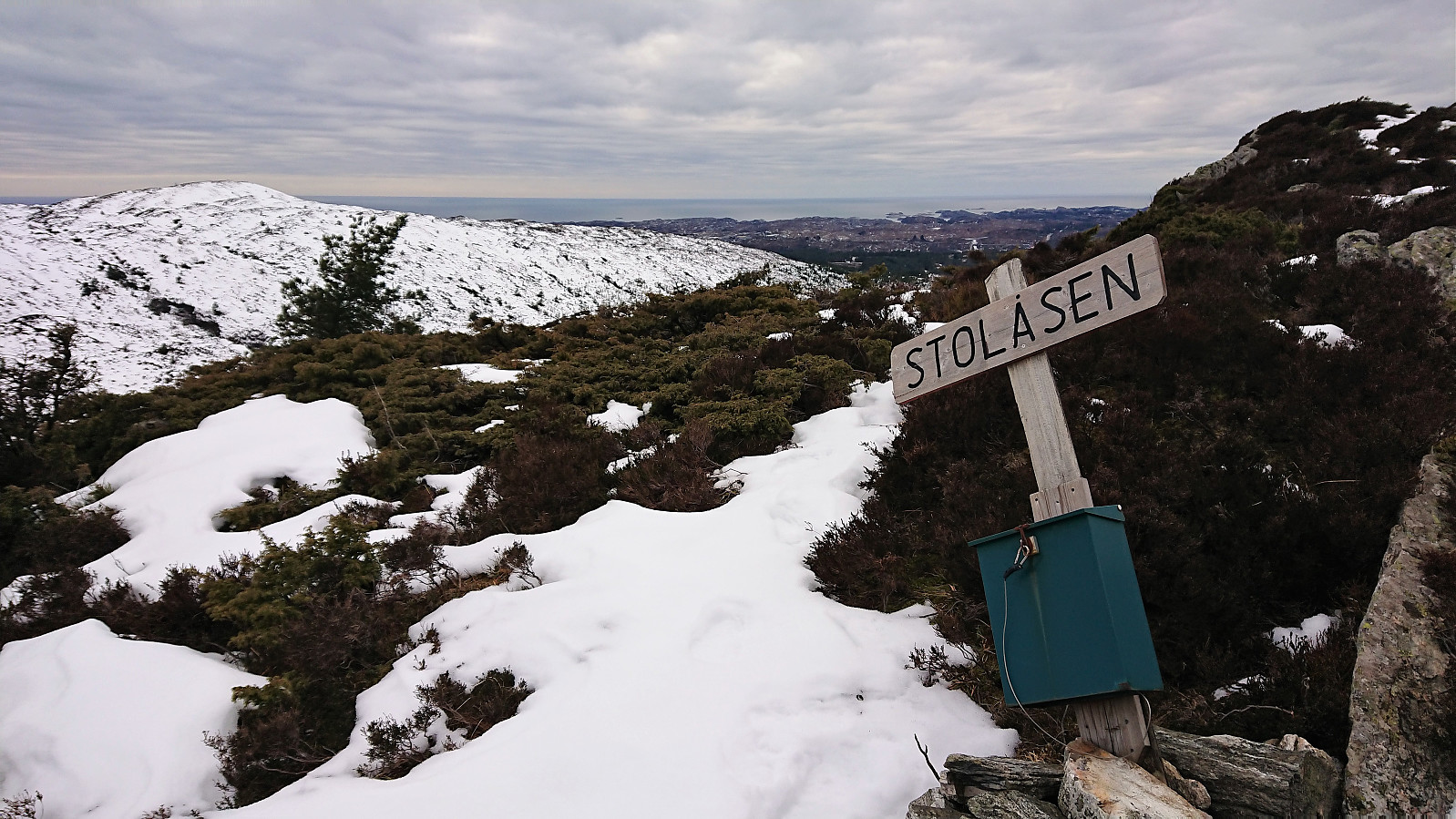
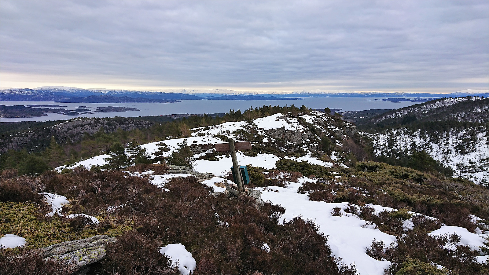
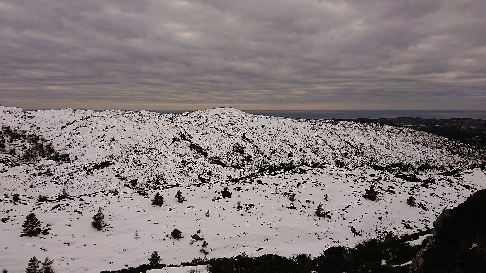
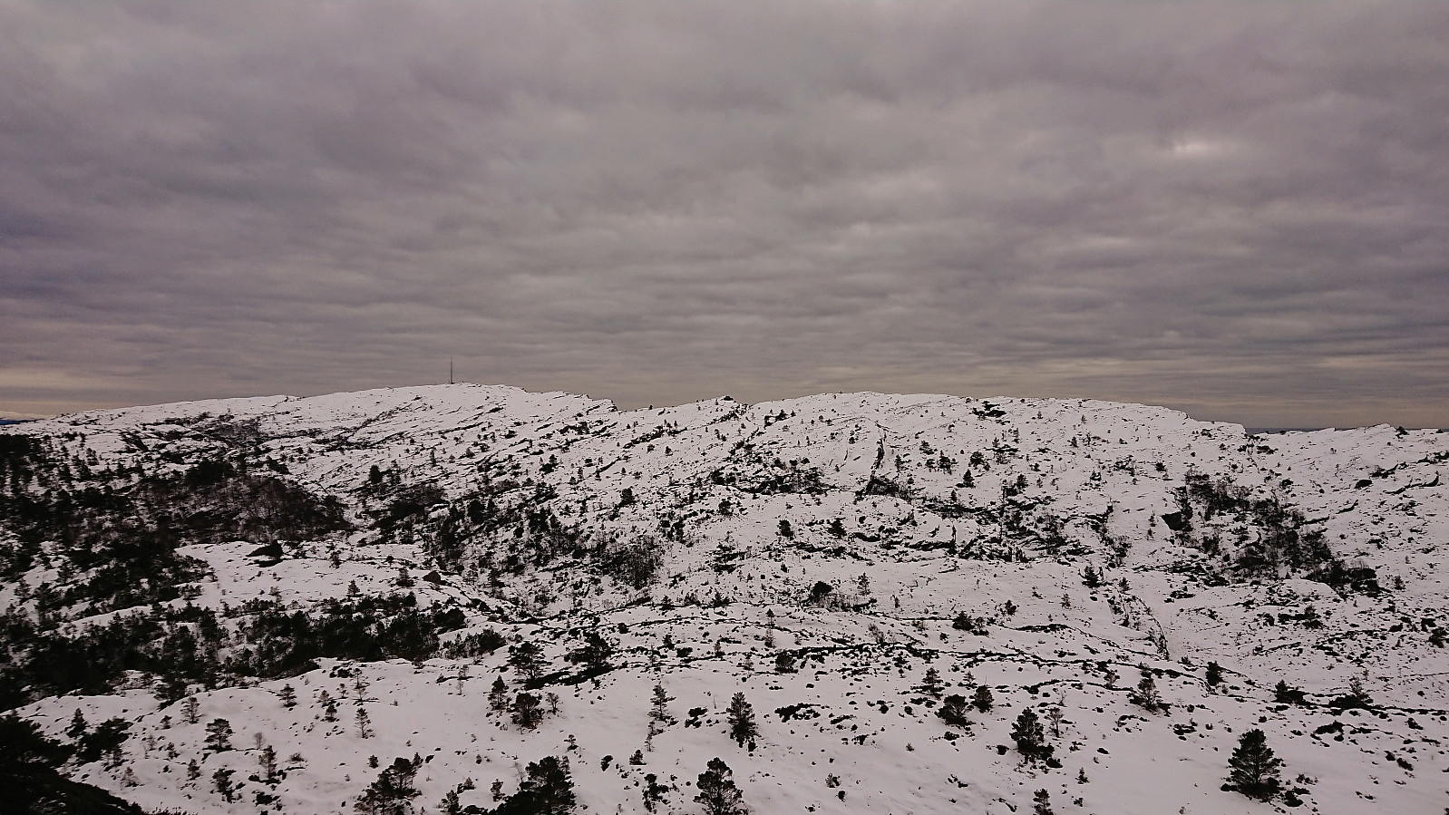
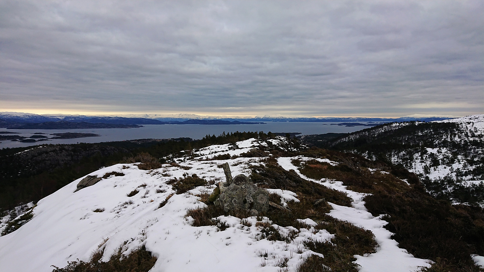
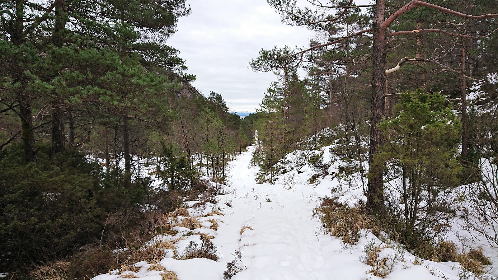
The trail was partially marked, but did not seem to be very heavily used, with several branches almost blocking the trail, and the footprints soon became very useful as the trail got completely hidden by the snow. By following the footprints I quickly arrived at the summit, signed my name in the visitor register and enjoyed the surprisingly good views.
On the map I had noticed that the trail continued north across the summit, and given that the footprints also continued in that direction, so did I. The snow was initially much deeper than on the ascent, but this soon improved, especially when the trail passed by the small lake of Hestatjørna and turned southeast to reconnect with the tractor road. Although the trail was completely hidden by the snow, it seems like the footprints followed the trail pretty closely.
The hike was concluded by following the tractor road, and later the paved road, back to the starting point at Førde, and with 20 minutes to spare I continued east to Børnes before catching the bus back to Bergen.
Overall, a more enjoyable hike than expected, and with significantly better views. The single set of footprints came in very handy though, and I cannot comment on how clear the trail is when there is no snow. In summary, a short hike that can be recommended.


| Startzeitpunkt | 14.03.2018 15:59 (UTC+01:00) |
| Endzeitpunkt | 14.03.2018 18:16 (UTC+01:00) |
| Gesamtzeit | 2h 16min |
| Zeit in Bewegung | 2h 11min |
| Pausenzeit | 0h 5min |
| Gesamtschnitt | 3,6km/h |
| Bewegungsschnitt | 3,8km/h |
| Entfernung | 8,3km |
| Höhenmeter | 370m |


Benutzerkommentare