
Hjortland to Lønborg (10.03.2018)

Written by hbar (Harald Barsnes)

| Start point | Hjortland (166m) |
|---|---|
| Endpoint | Lønborg (55m) |
| Characteristic | Backcountry skiing |
| Duration | 7h 12min |
| Distance | 22.6km |
| Vertical meters | 1,039m |
| GPS |
|
| Ascents | Borga (634m) | 10.03.2018 |
|---|---|---|
| Emanuel Mohns utsikt (480m) | 10.03.2018 | |
| Grønetua (642m) | 10.03.2018 | |
| Lavet (527m) | 10.03.2018 | |
| Rundemanen (568m) | 10.03.2018 | |
| Såta (624m) | 10.03.2018 | |
| Visits of other PBEs | Dræggehytten (433m) | 10.03.2018 |
| Eidsvågshytten (452m) | 10.03.2018 | |
| Hellegrind (199m) | 10.03.2018 | |
| Hjortland p-plass (155m) | 10.03.2018 | |
| Kvitebjørnen (482m) | 10.03.2018 | |
| Kåken (511m) | 10.03.2018 | |
| Ishuset ved Langevatnet (127m) | 10.03.2018 | |
| Nordneshytten (558m) | 10.03.2018 | |
| Norhytten (517m) | 10.03.2018 | |
| Nødkjelke, Nauddalen (393m) | 10.03.2018 | |
| Ravneberg (281m) | 10.03.2018 | |
| Vikinghytten (590m) | 10.03.2018 |
Hjortland to Lønborg
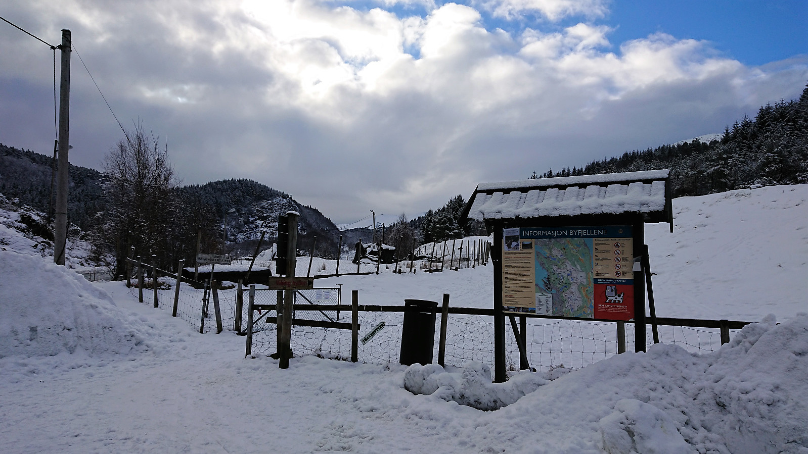
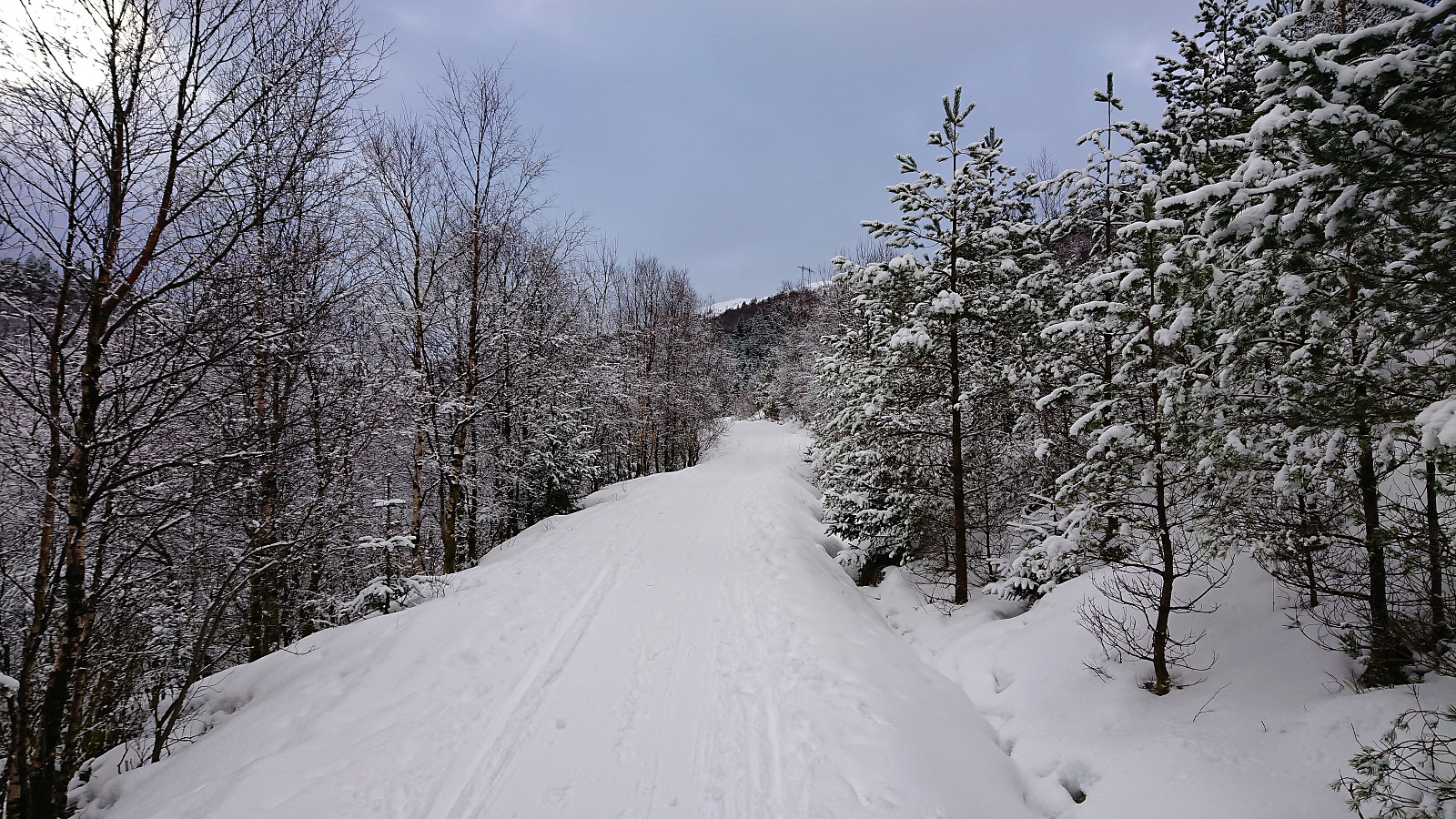
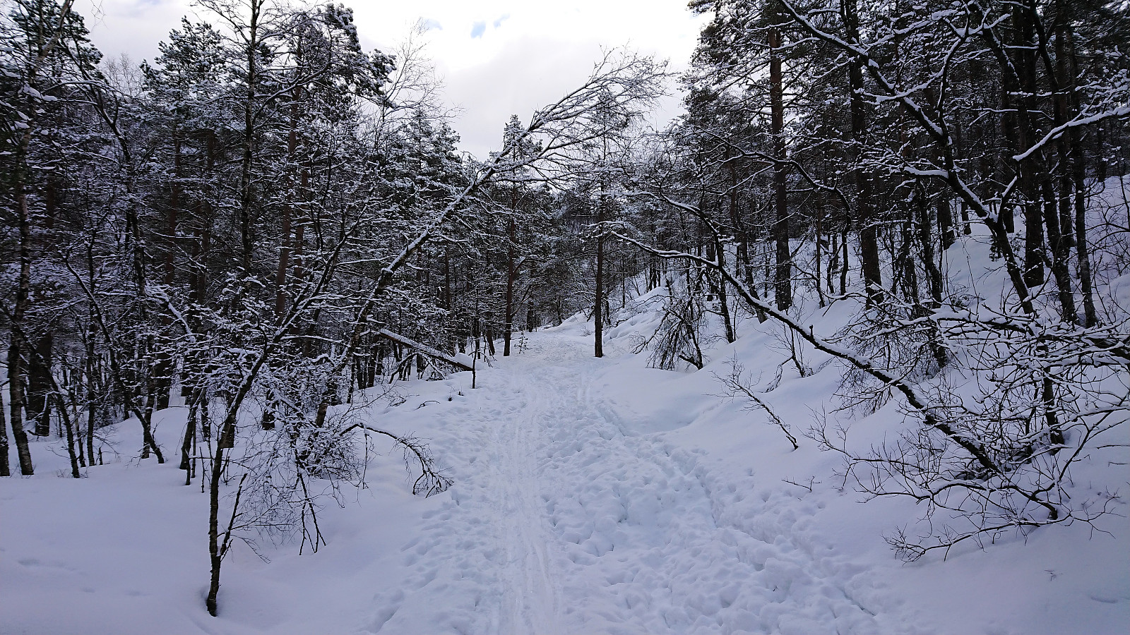
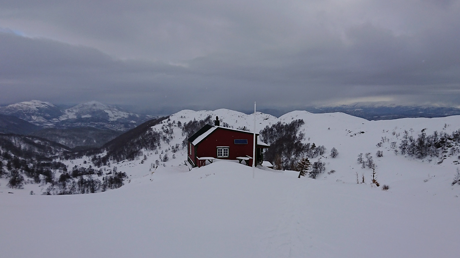
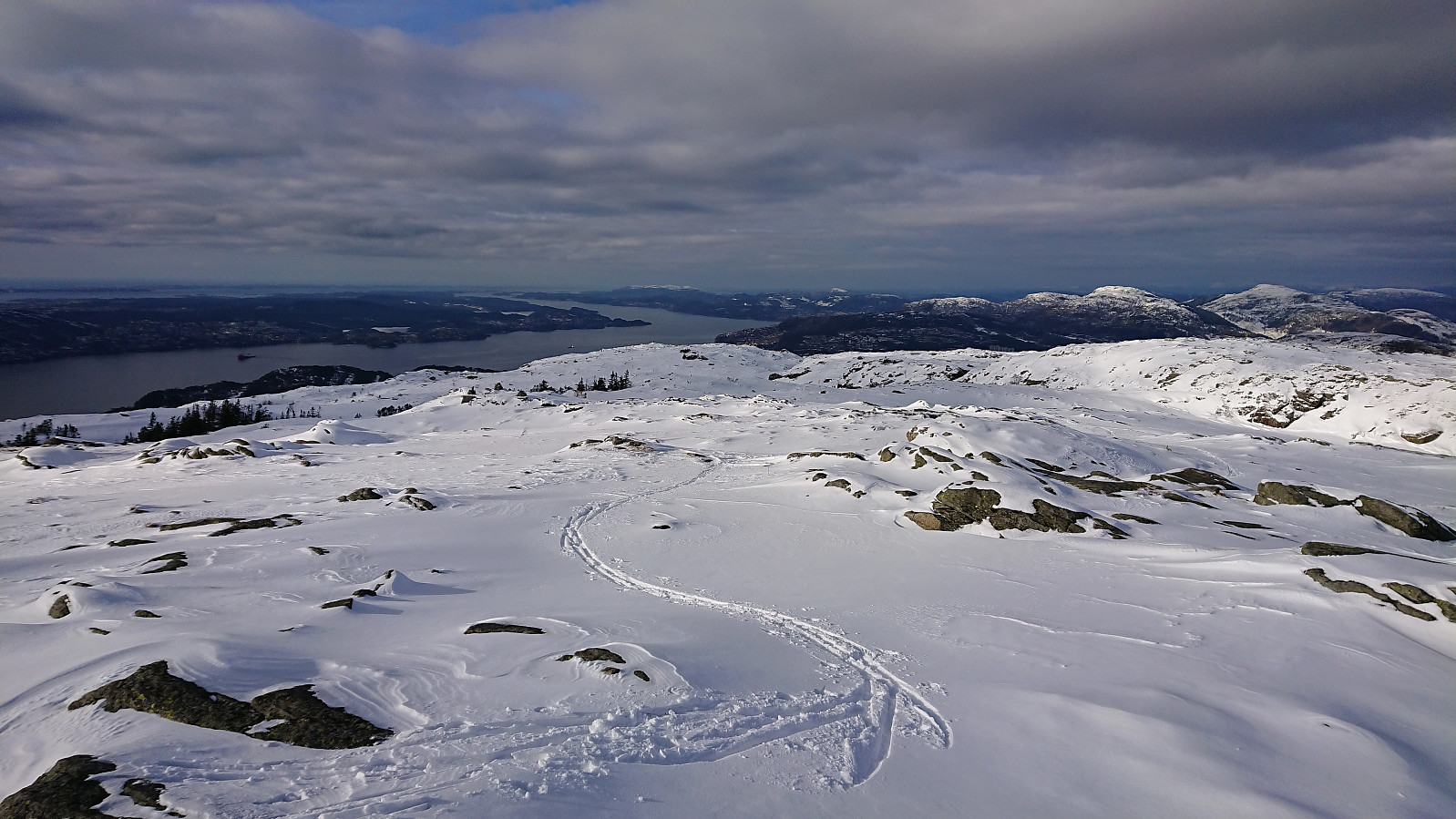
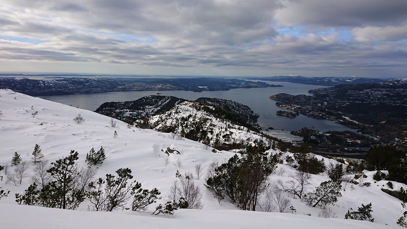
I was dropped off at the parking lot at Hjortland and from there followed the snow-covered gravel road towards Norhytten (one can also arrive by bus to Flaktveitrinden, but then one has to carry the skis for about 2 km). The trip soon turned into backcountry skiing with only one or two tracks to follow made by earlier skiers.
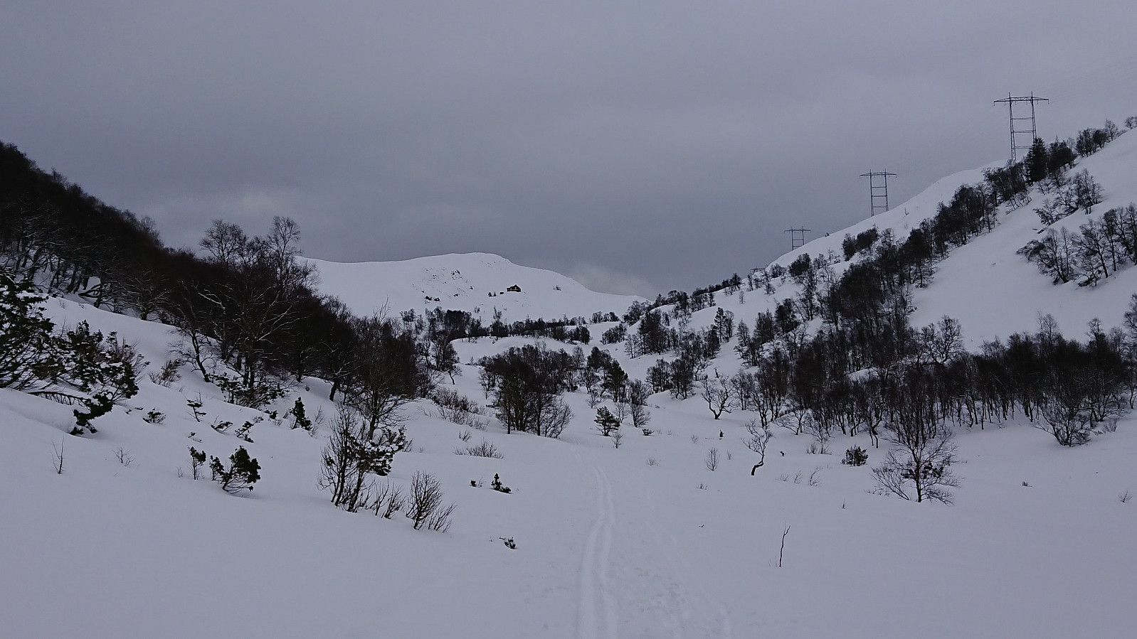
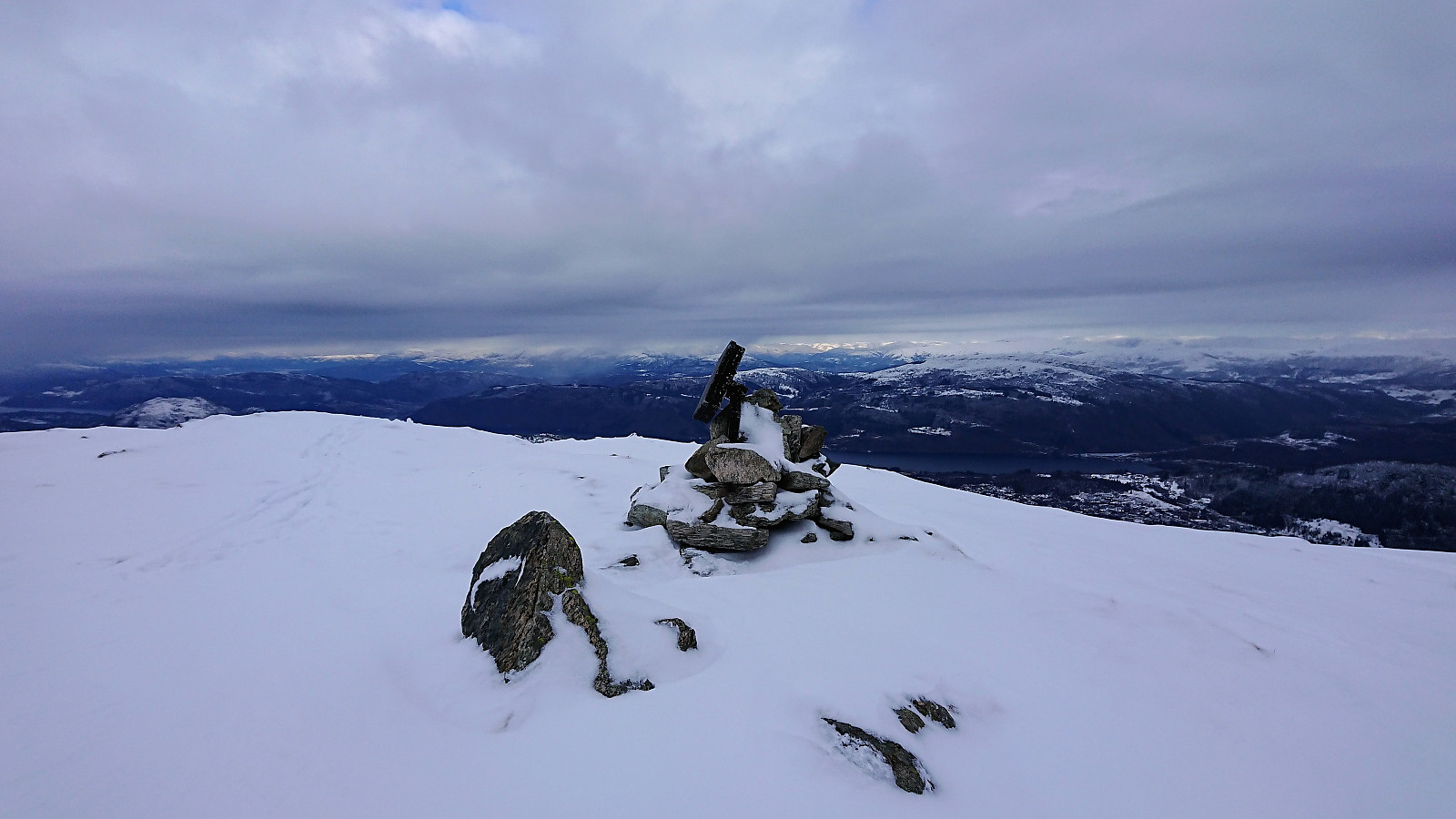
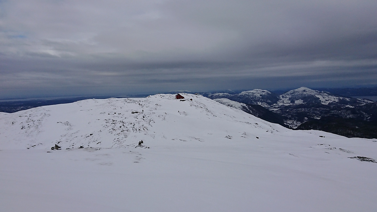
As I got close to Norhytten these tracks also more or less disappeared, and so did the sun, plus it started snowing lightly, resulting in poor visibility. Still straightforward to reach Norhytten, but from there onwards to Borga it was a bit more complicated, and I had to reduce the speed to ensure that I was on the right course. Not the best views from the summit of Borga today. The visibility improved slightly for the descent, but for safety I still followed my own tracks.
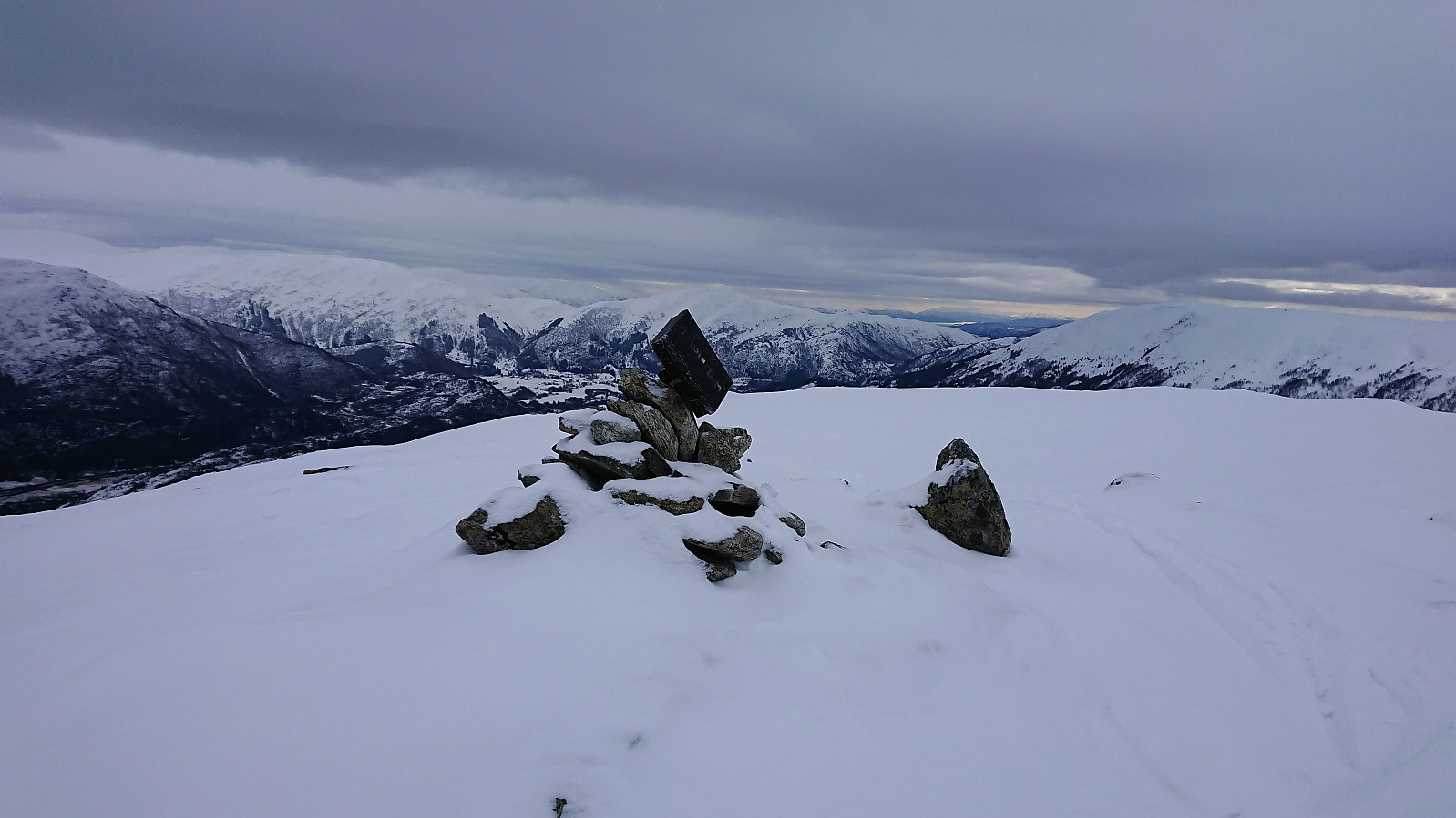
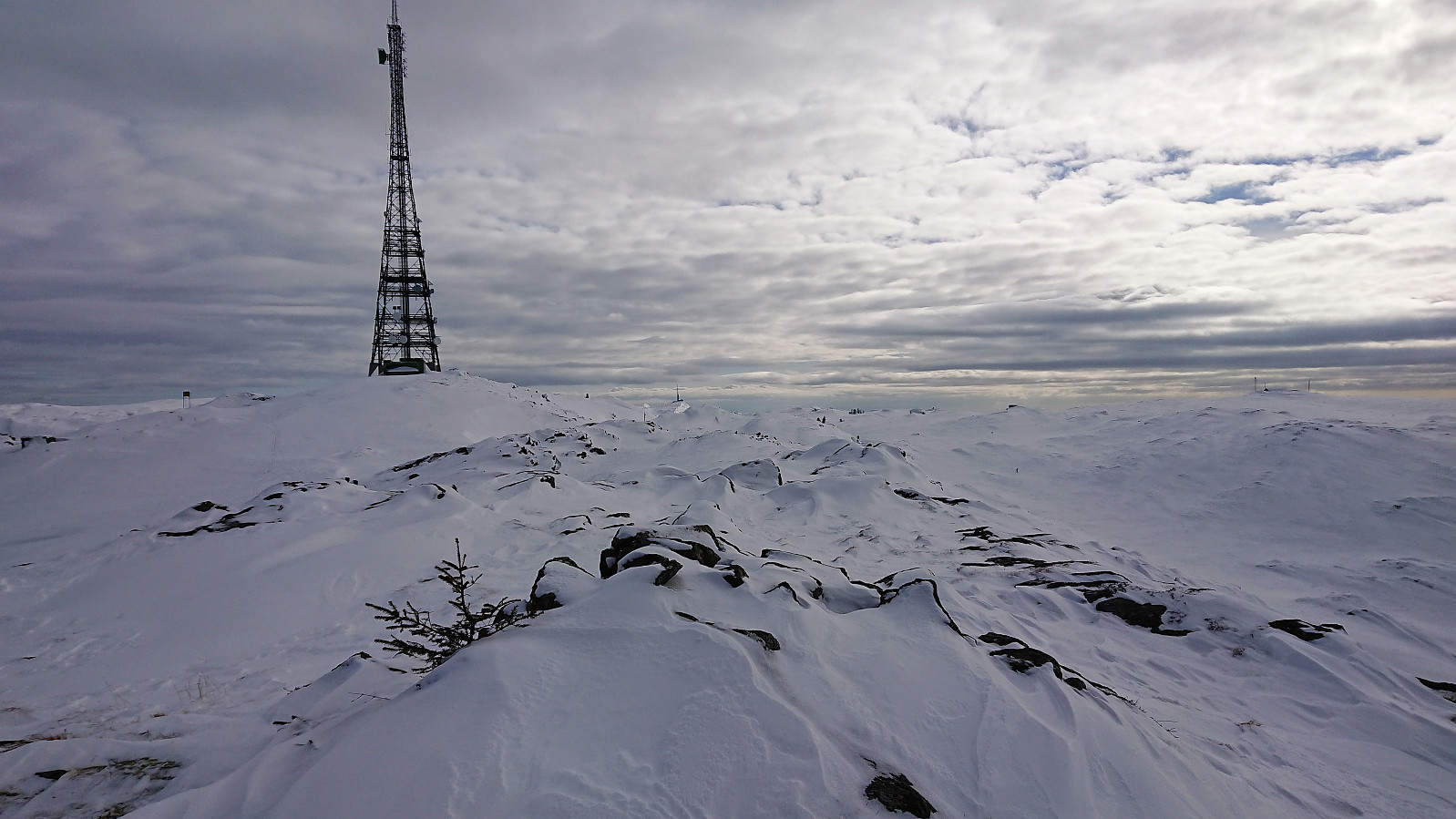
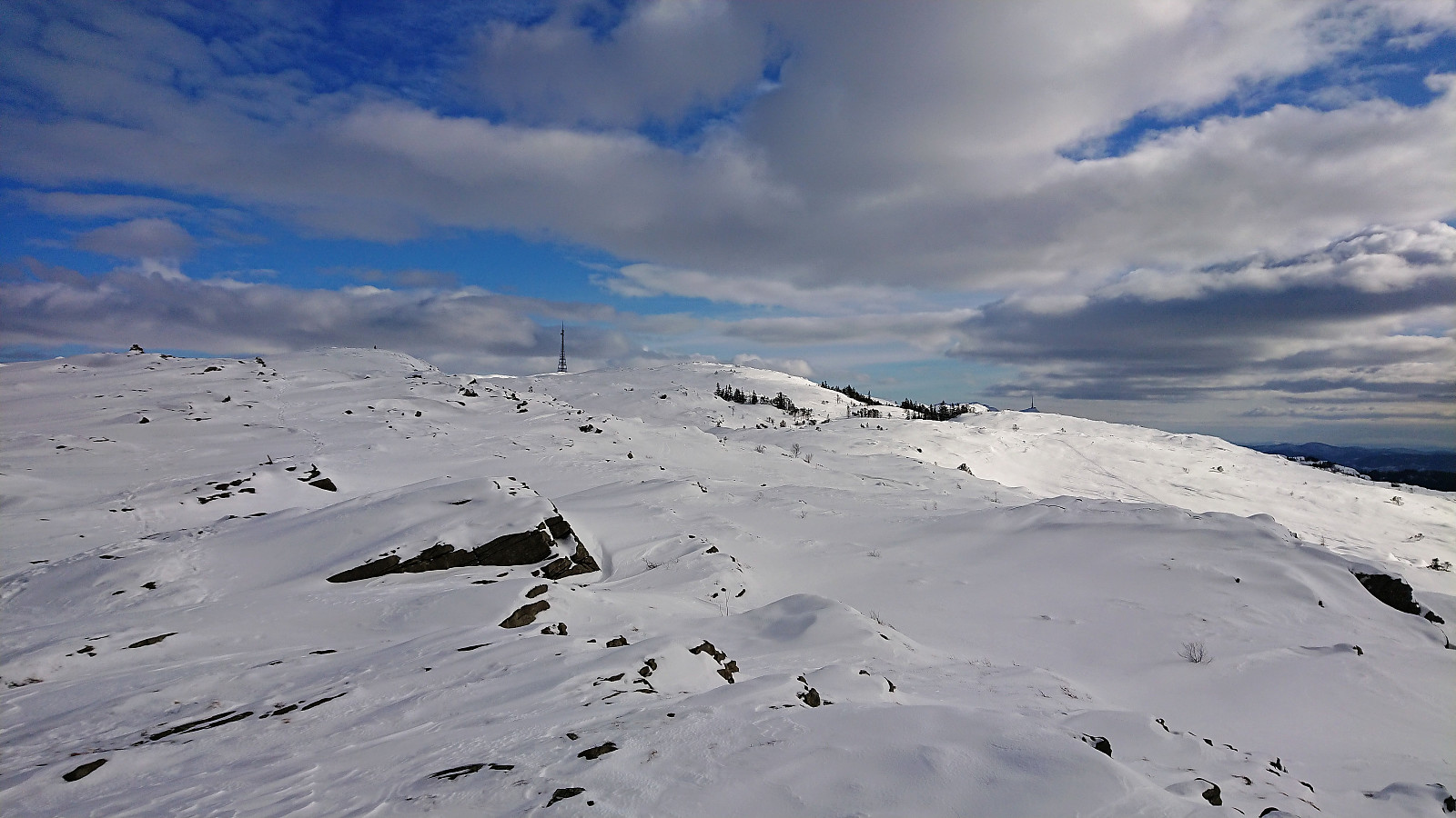
I continued to Vikinghytten, via Grønetua. No tracks here either. When leaving Vikinghytten the visibility again got worse, and it took longer than usual to find the way down to the main trail that comes up from Jordalen. But upon reaching the trail, and the numerous skiers that had skied across Vidden, the conditions improved and I quickly continued to Rundemanen.
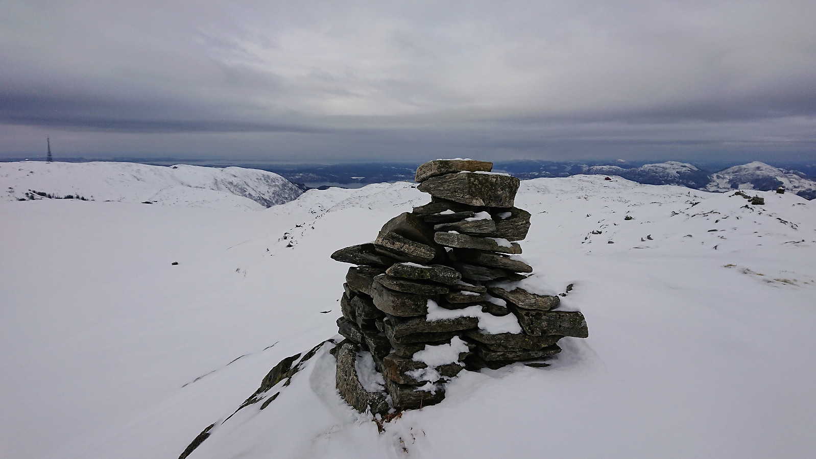
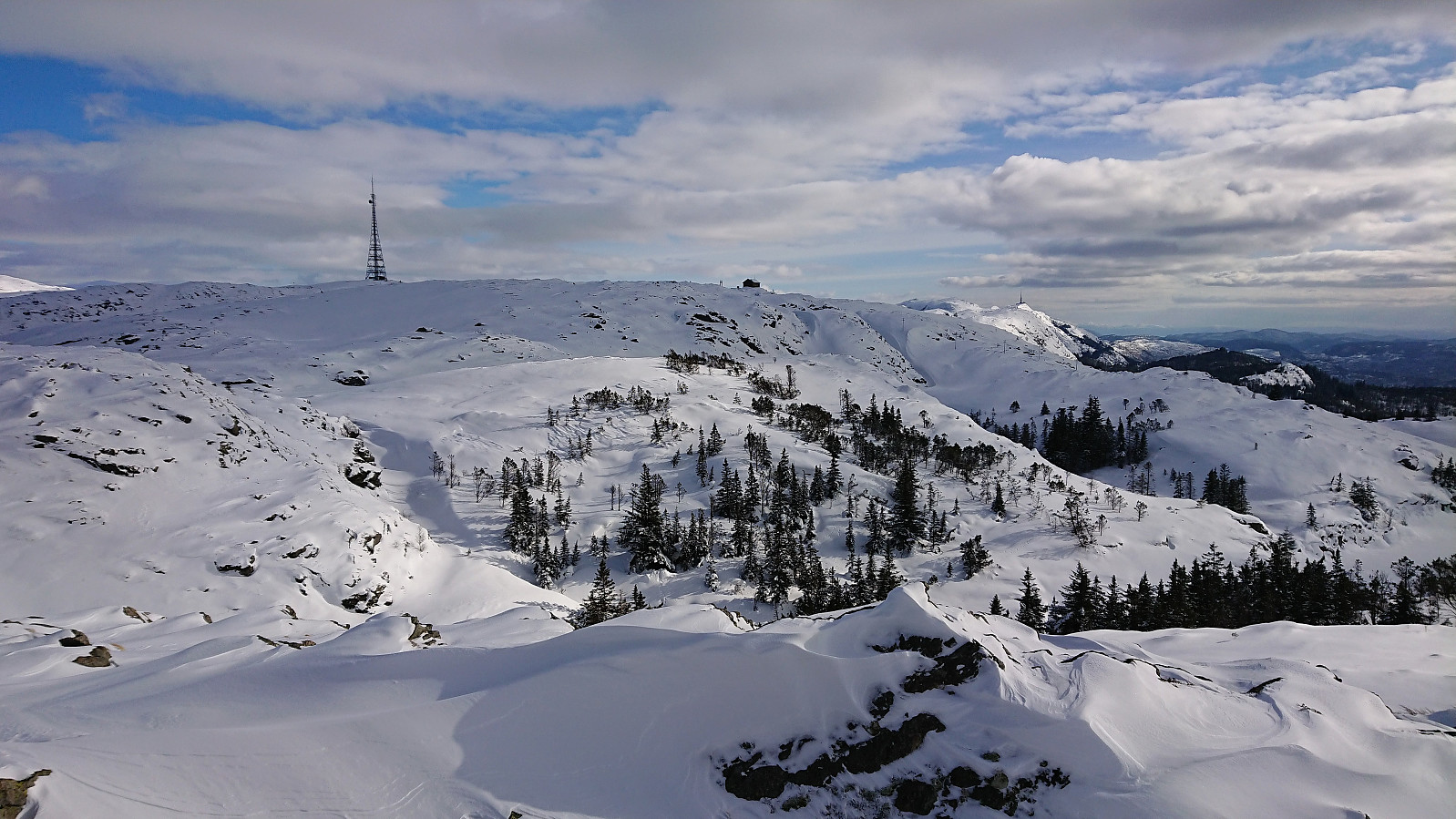
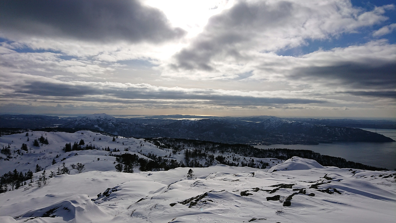
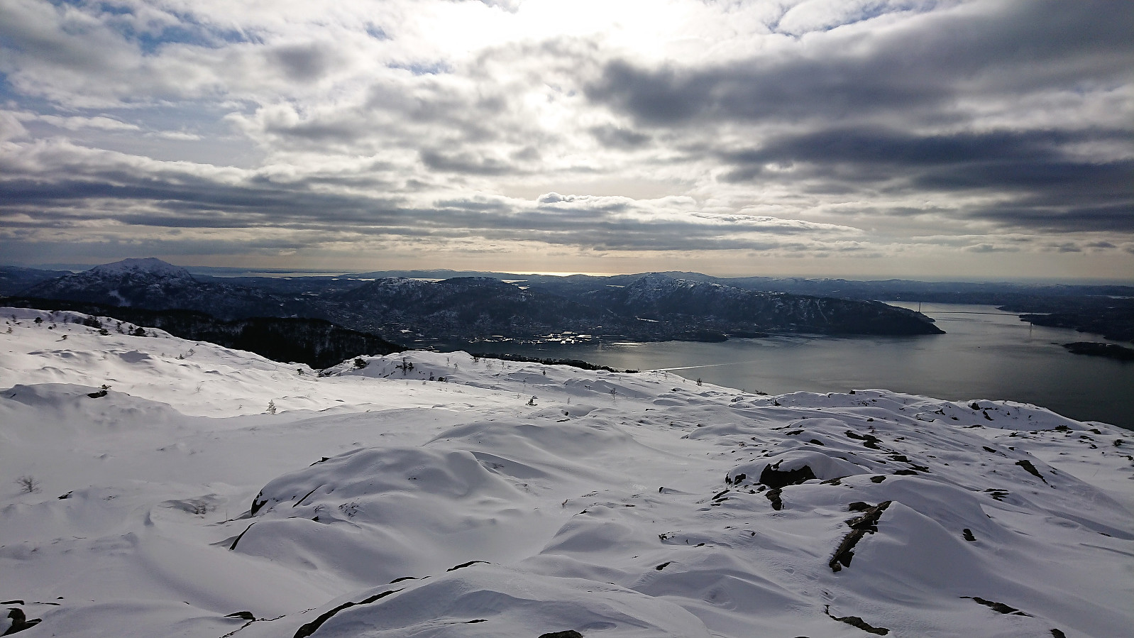
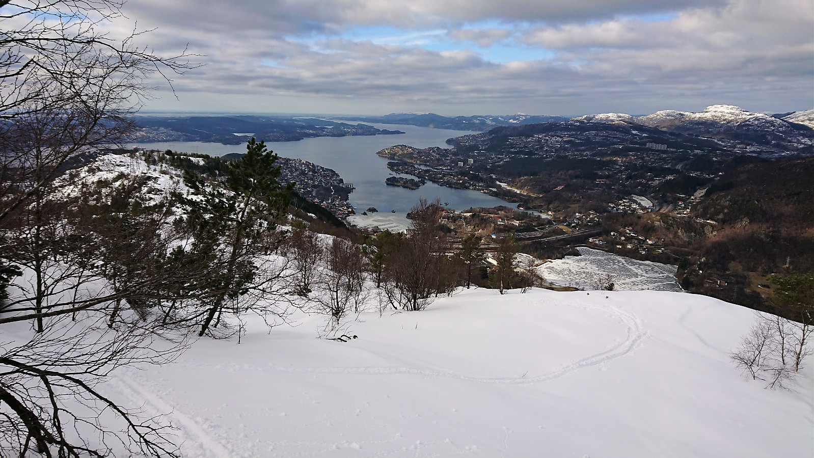
At Rundemanen I made a quick detour to Middagshaugen, before continuing north across Kvitebjørn to Dræggehytten. Now with the sun finally being visible in between the clouds, at least from time to time. From Dræggehytten I went for the shortcut down to Ravneberg, where I was very lucky to have the tracks of one previous skier to follow, which made the descent a lot easier, but still not straightforward.
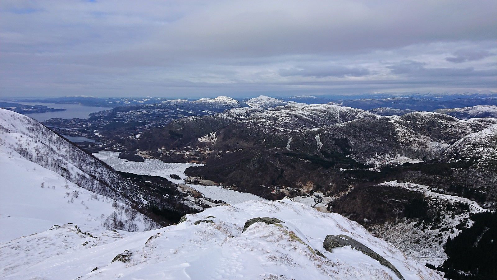
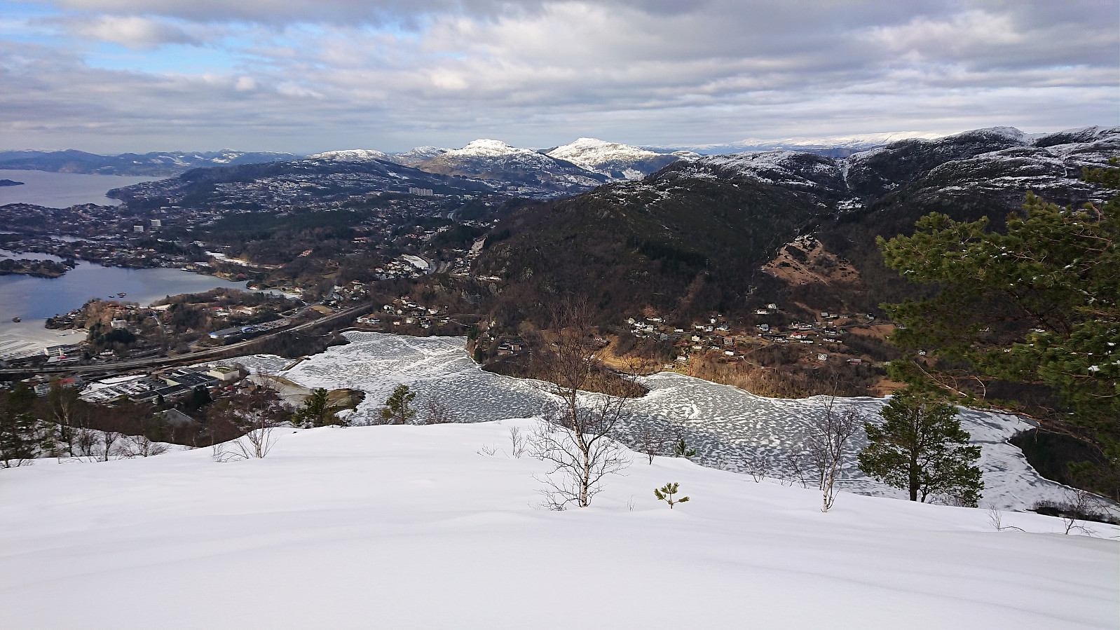
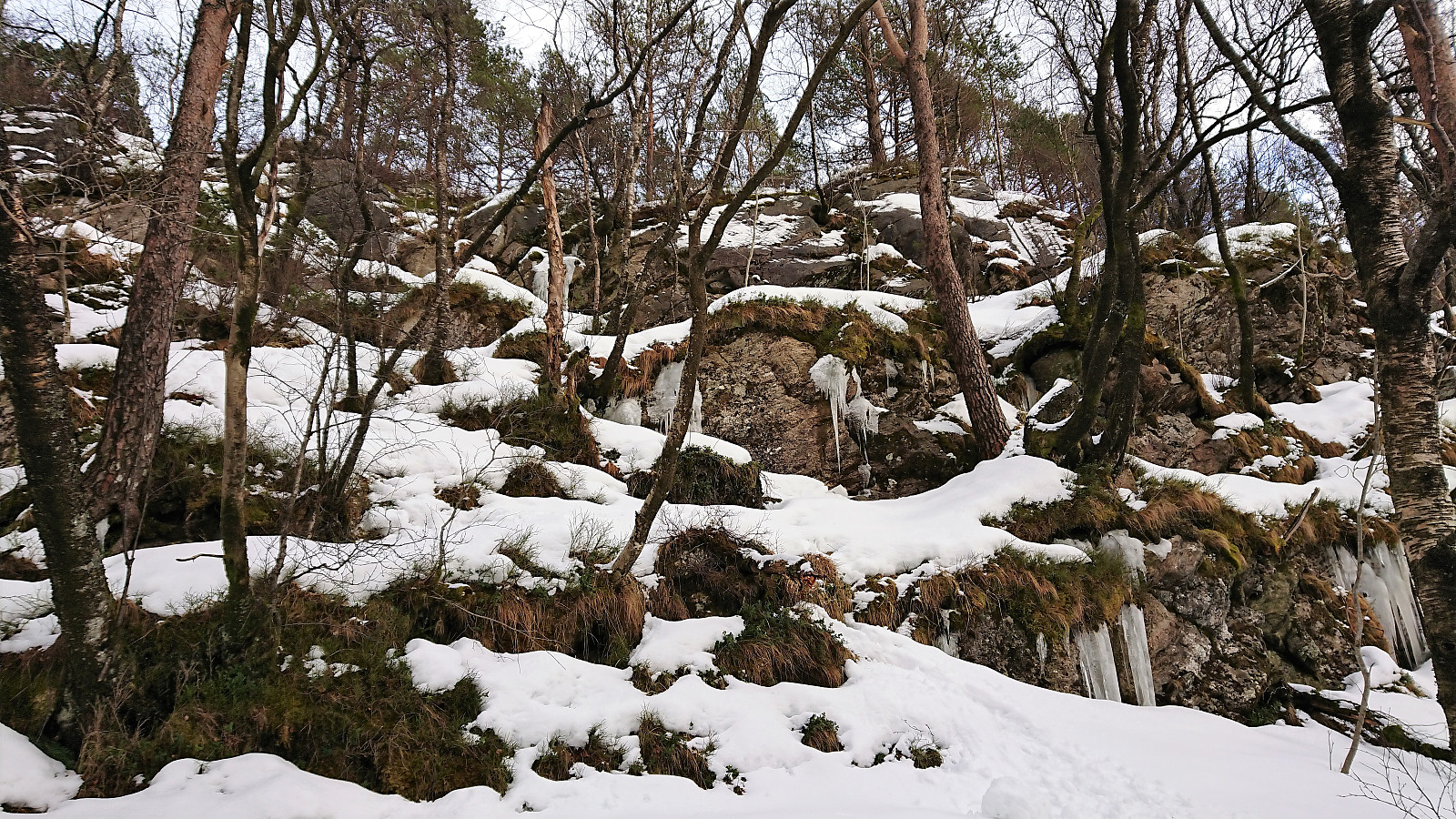
At about halfway to Ravneberg the frequency of the trees increased so much that skiing became difficult, and towards the end, the route also included a short section that was too steep to ski, and instead required a bit of light climbing. Upon reaching Ravneberg I removed the skis and carried them down to Munkebotsvatnet, where I could put them back on and followed Hellemyrstien to the top of Øyjorden, and from there carried them down to Lønborg.
In summary, an excellent trip, even though the weather included a lot less sun than expected. The excellent skiing conditions more than made up for it though!
| Start date | 10.03.2018 09:56 (UTC+01:00) |
| End date | 10.03.2018 17:09 (UTC+01:00) |
| Total Time | 7h 12min |
| Moving Time | 6h 24min |
| Stopped Time | 0h 48min |
| Overall Average | 3.1km/h |
| Moving Average | 3.5km/h |
| Distance | 22.6km |
| Vertical meters | 1,038m |


User comments