
Gullfjelltoppen and Kofta (25.02.2018)

Written by hbar (Harald Barsnes)

| Start point | Osavatnet (314m) |
|---|---|
| Endpoint | Osavatnet (313m) |
| Characteristic | Backcountry skiing |
| Duration | 7h 12min |
| Distance | 22.1km |
| Vertical meters | 1,233m |
| GPS |
|
| Ascents | Gullfjelltoppen (987m) | 25.02.2018 |
|---|---|---|
| Kofta (921m) | 25.02.2018 | |
| Visits of other PBEs | Osavatnet p-plass (kr) (310m) | 25.02.2018 |
| Redningshytten, Gullfjellet (600m) | 25.02.2018 |
Gullfjelltoppen and Kofta
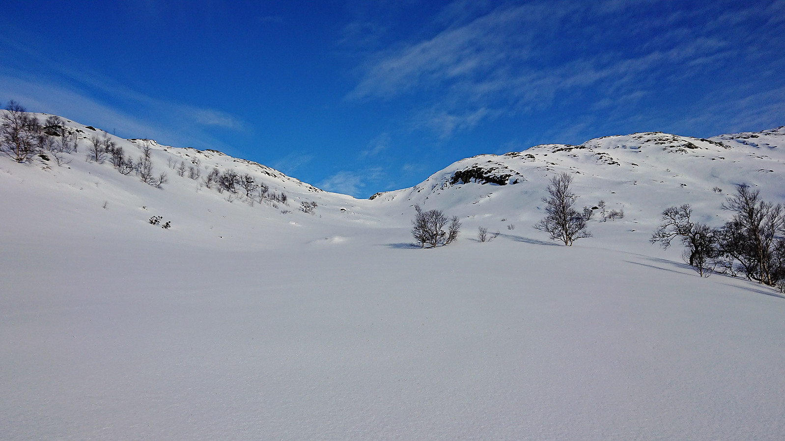
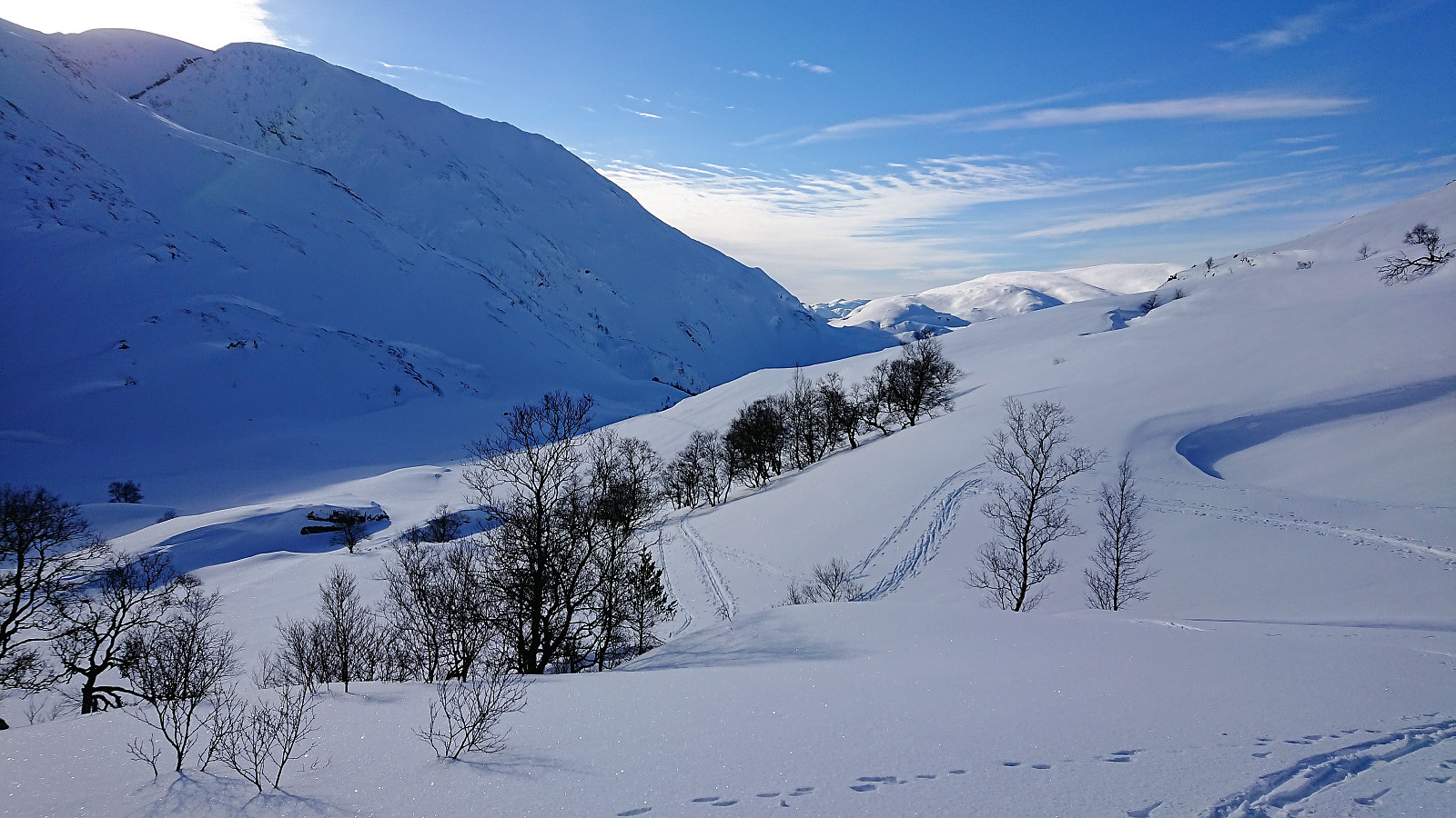
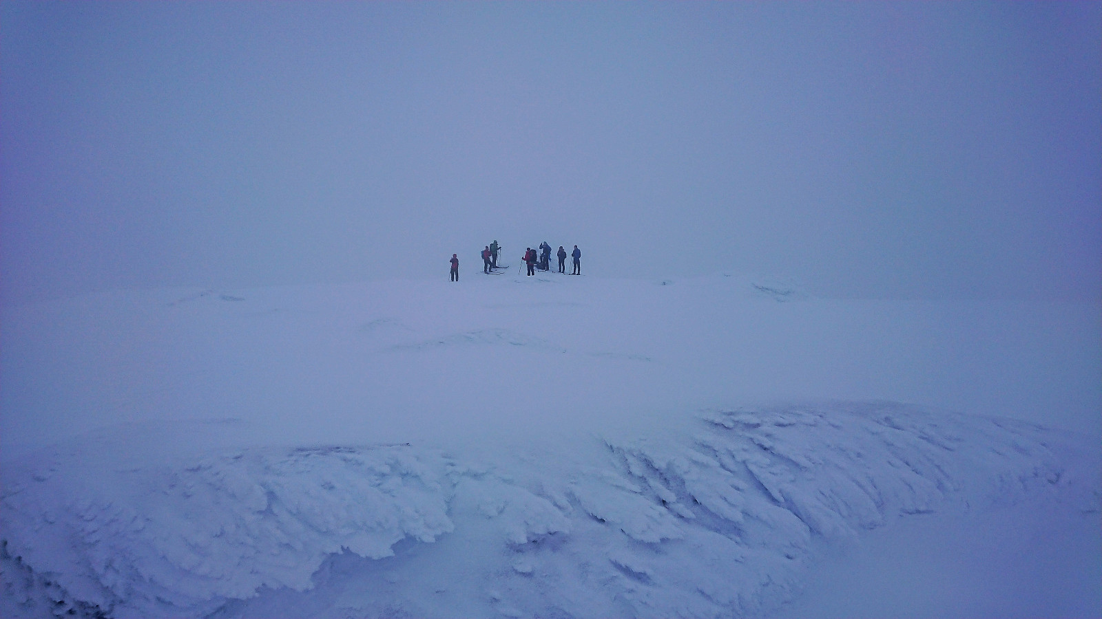
Trip organized by the Norwegian Trekking Association. We started from the parking lot at Osavatnet on a beautiful and sunny winter day and followed the winter route up Tjørndalen towards Gullfjelltoppen. As we got close to Gullfjellhalsen a relatively dense fog started to appear, however after a short lunch break it cleared enough to continue to Gullfjelltoppen where the views were only partially limited by the fog.
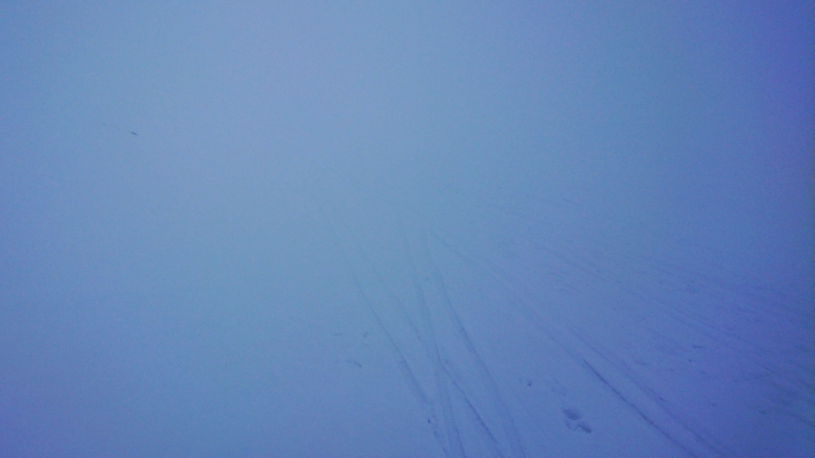
But soon after leaving Gullfjelltoppen the fog reappeared, now even denser than before, and both maps and GPS had to be heavily conferred in order to find the route towards Kofta. In the end we did arrive at the summit of Kofta, although the fog resulted in extremely limited views. We therefore did not stay long and quickly returned the same way.
The initial plan had been to also visit Søre Gullfjelltoppen and Sydpolen, but this was rejected due to the dense fog, and we instead followed the standard route down to Redningshytten, where we had a new break before finally returning to the parking lot at Osavatnet and the bus back to the city center.
In summary, this trip very much consisted of two parts, the start in the nice weather, and the end in the dense fog. Clearly a trip that would be significantly more enjoyable in better weather conditions.
| Start date | 25.02.2018 09:21 (UTC+01:00) |
| End date | 25.02.2018 16:33 (UTC+01:00) |
| Total Time | 7h 12min |
| Moving Time | 5h 11min |
| Stopped Time | 2h 00min |
| Overall Average | 3.1km/h |
| Moving Average | 4.3km/h |
| Distance | 22.1km |
| Vertical meters | 1,232m |


User comments