
Radøy: From Kolås to Rimmo (13.01.2018)

Skrevet av hbar (Harald Barsnes)

| Startsted | Kolås (31moh) |
|---|---|
| Sluttsted | Rimmo (28moh) |
| Turtype | Fjelltur |
| Turlengde | 6t 16min |
| Distanse | 21,8km |
| Høydemeter | 1126m |
| GPS |
|
| Bestigninger | Kvitsteinfjellet (208moh) | 13.01.2018 |
|---|---|---|
| Morkefjellet (216moh) | 13.01.2018 | |
| Nøttveitveten (205moh) | 13.01.2018 | |
| Peparen (157moh) | 13.01.2018 | |
| Peparen Nord (156moh) | 13.01.2018 | |
| Solheimåsen (189moh) | 13.01.2018 | |
| Vettåsfjellet (162moh) | 13.01.2018 | |
| Andre besøkte PBE'er | Morkefjellet fra øst (25moh) | 13.01.2018 |
| Varden på Kvitsteinfjellet (203moh) | 13.01.2018 | |
| Vettåsfjellet N (156moh) | 13.01.2018 |
Radøy: From Kolås to Rimmo
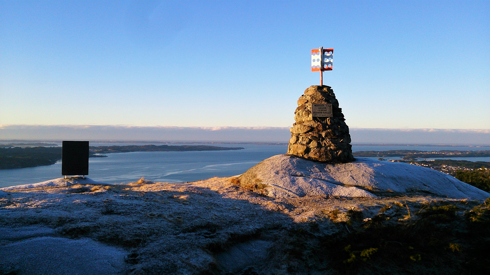
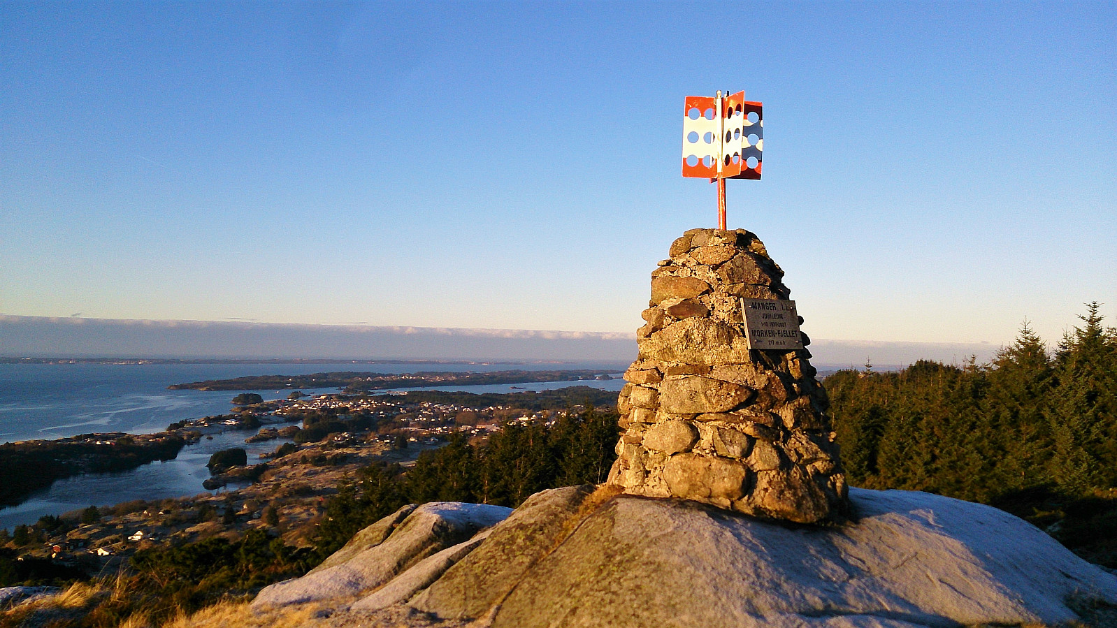
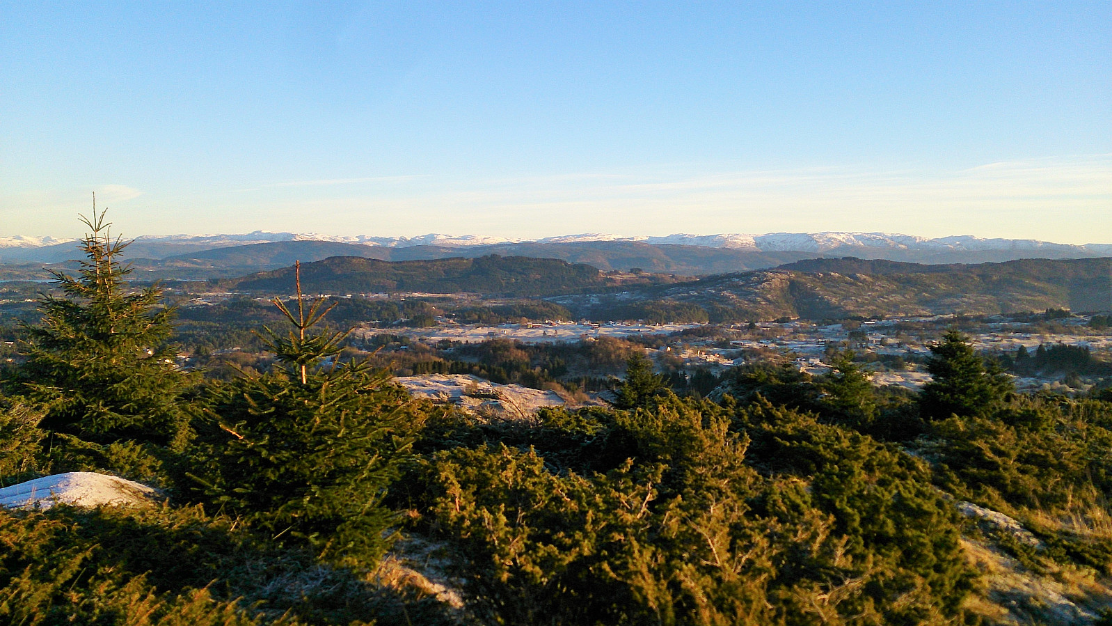


Morkefjellet
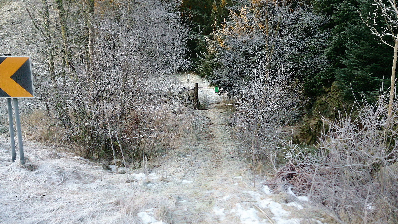
Started by taking the bus to Namntveit (bus stop called Kolås) and from there walking west along the road for a couple hundred meters before leaving the road and heading northeast. This trail was unmarked, but clearly visible from the main road. There was however an information sign stating that I could follow this trail north along the lake all the way to Li.
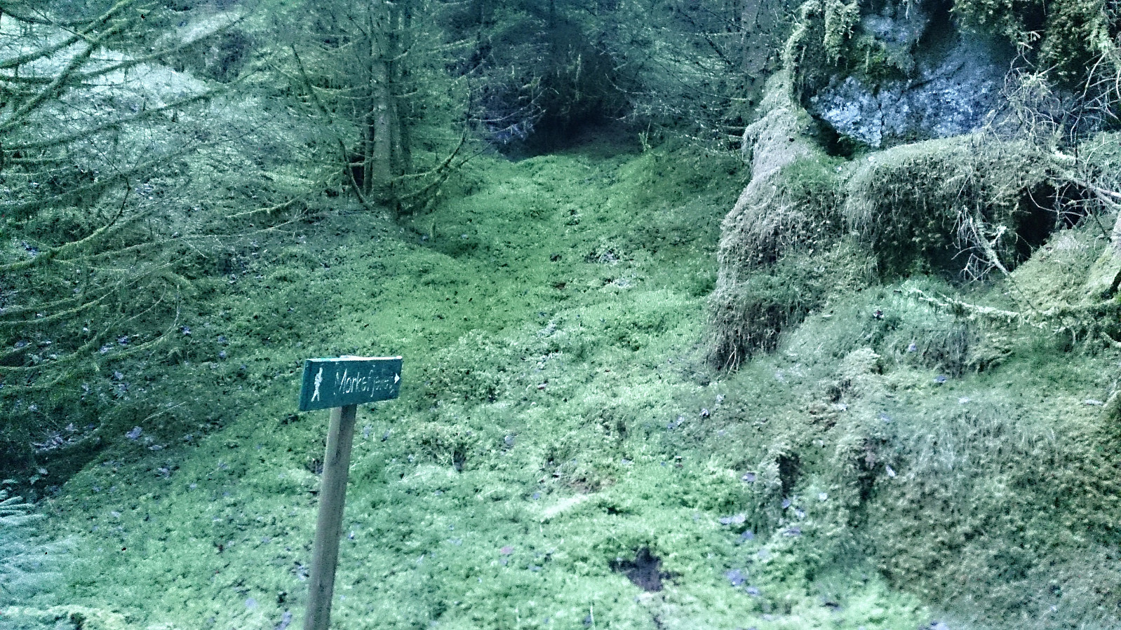
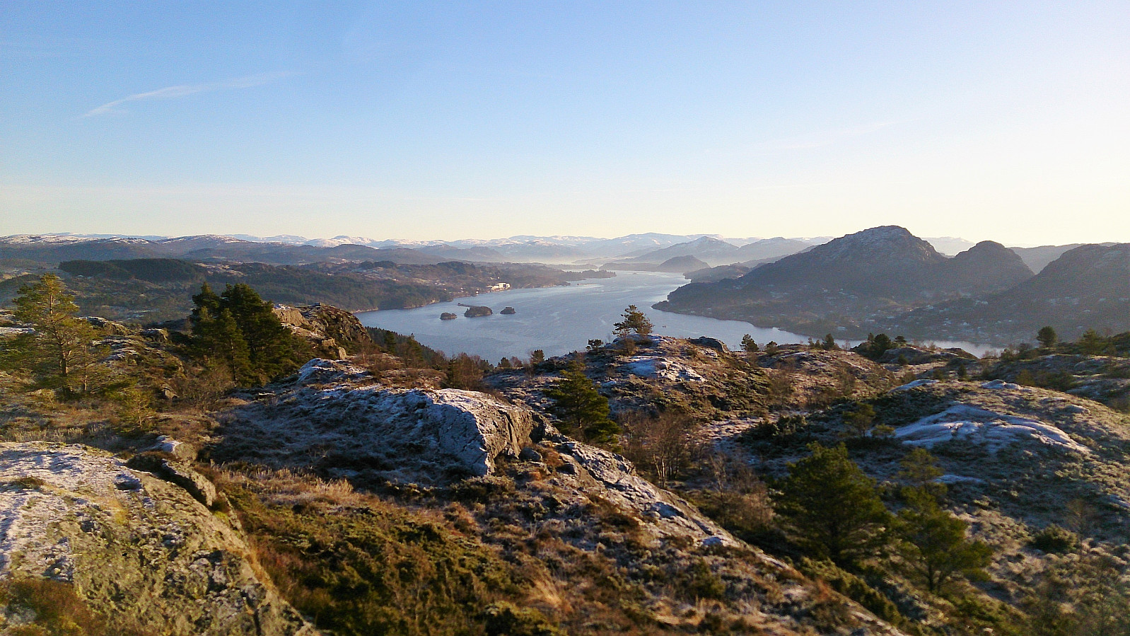
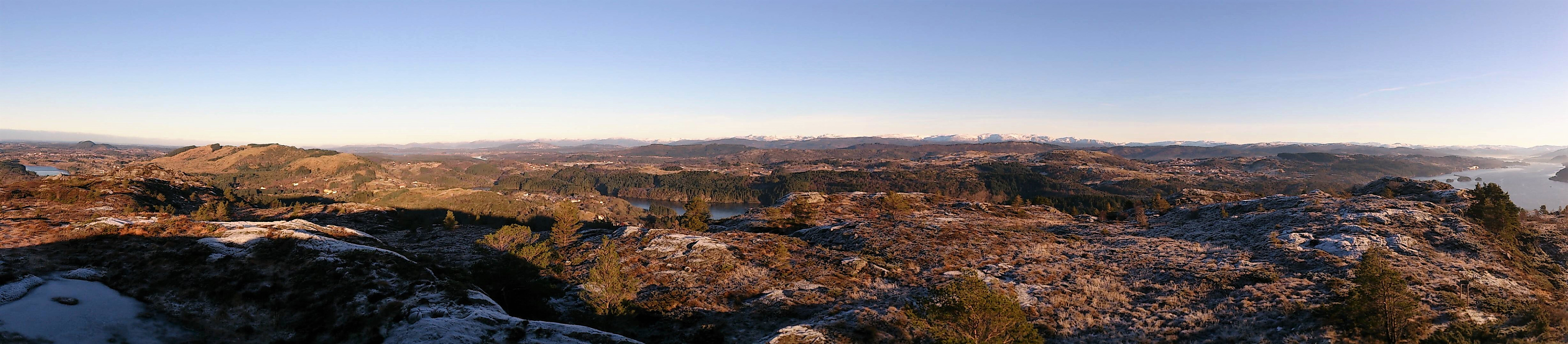
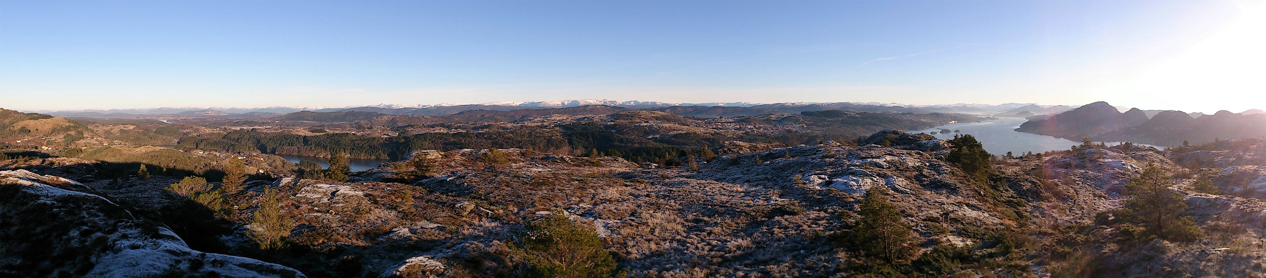
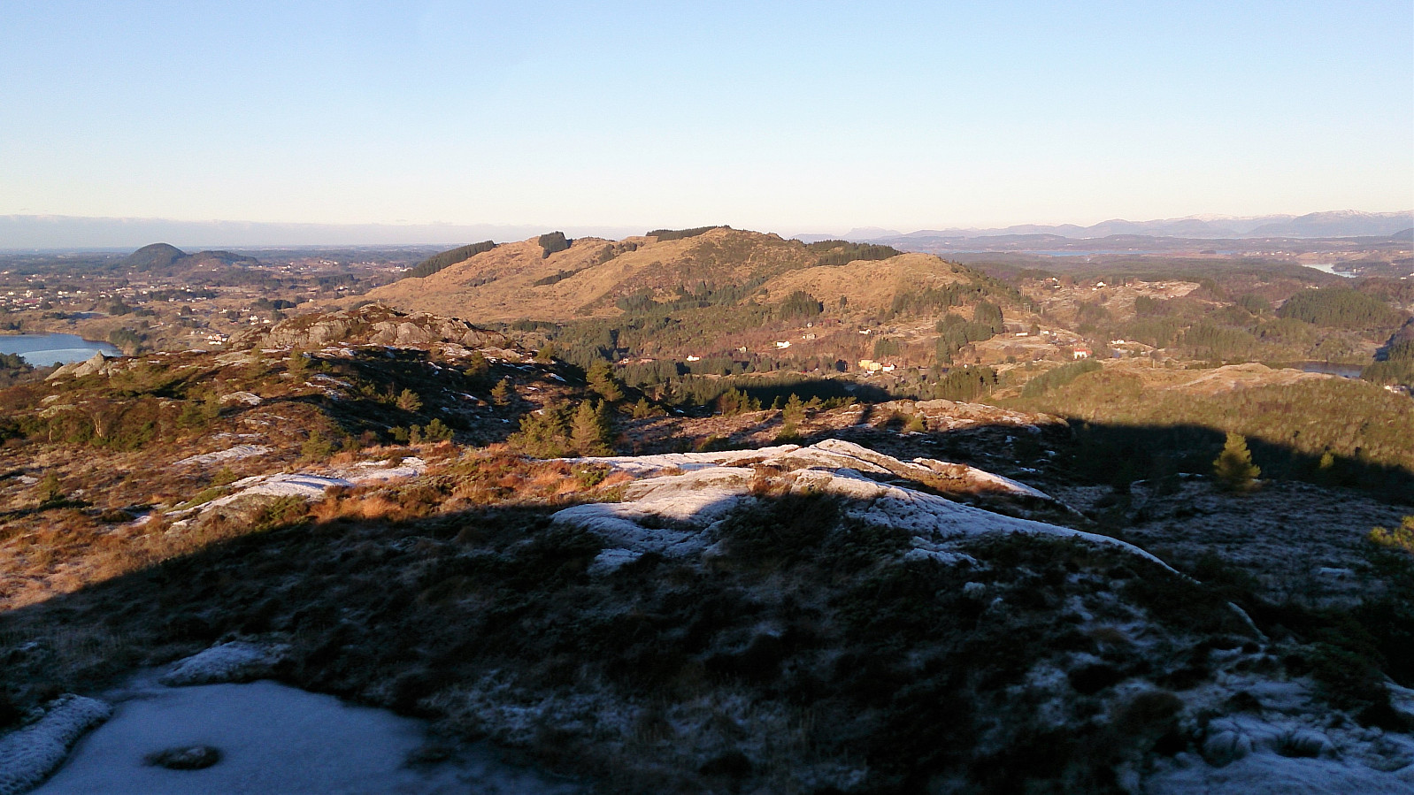
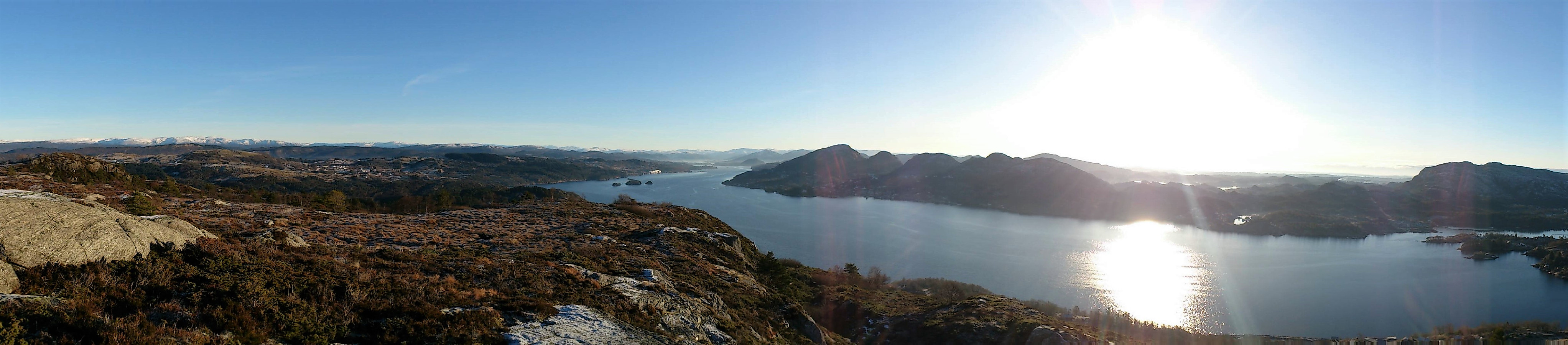
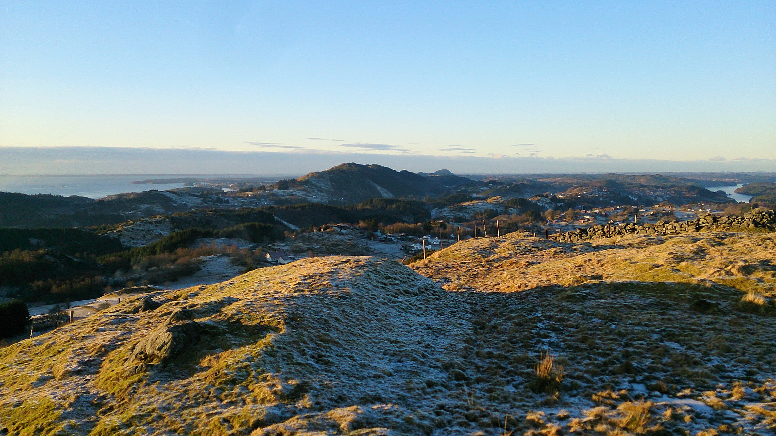
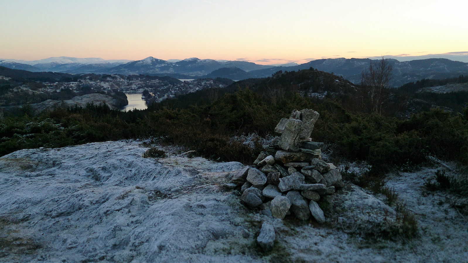
I followed the trail until locating the sign for Morkefjellet, assuming it would be easy progress towards the summit from here on. However, the trail soon disappeared, and I had to find my own way for a while. I did reconnect with the trail (or perhaps the sign does not accurately indicate where the trail starts?), but the trail was overall very weak until around 150 meters above sea level, were it crossed a fence and then followed a stone wall south. From this point the trail was easy to follow all the way to the summit, which provided excellent views in all directions.
Nøttveitveten
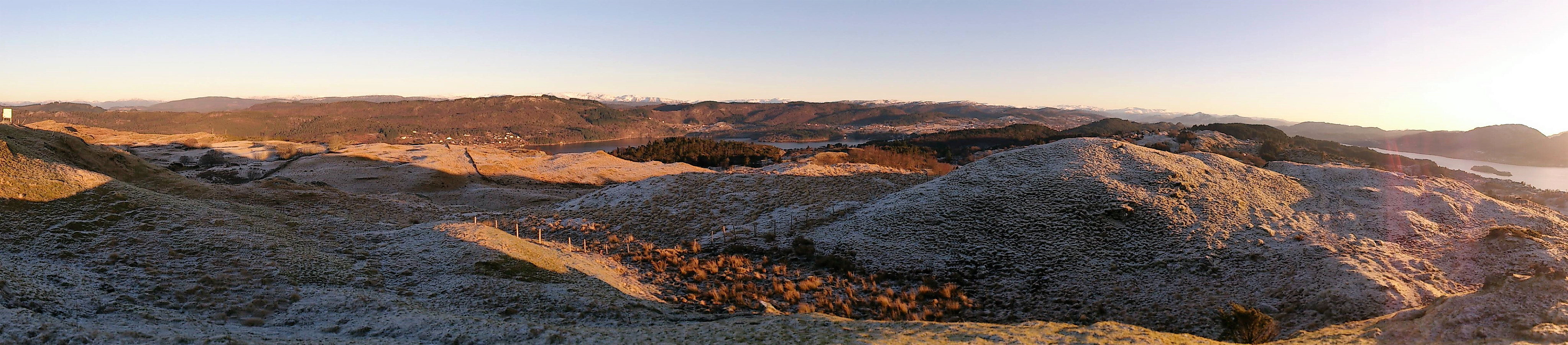
I continued northwest towards Nøttveitveten, in very enjoyable open terrain (as soon as one leaves the small forest behind). Again, the views were excellent. From Nøttveitveten I retracted my steps southeast until finding the trail down to Morken, from where I followed the main road southeast.
Kvitsteinfjellet
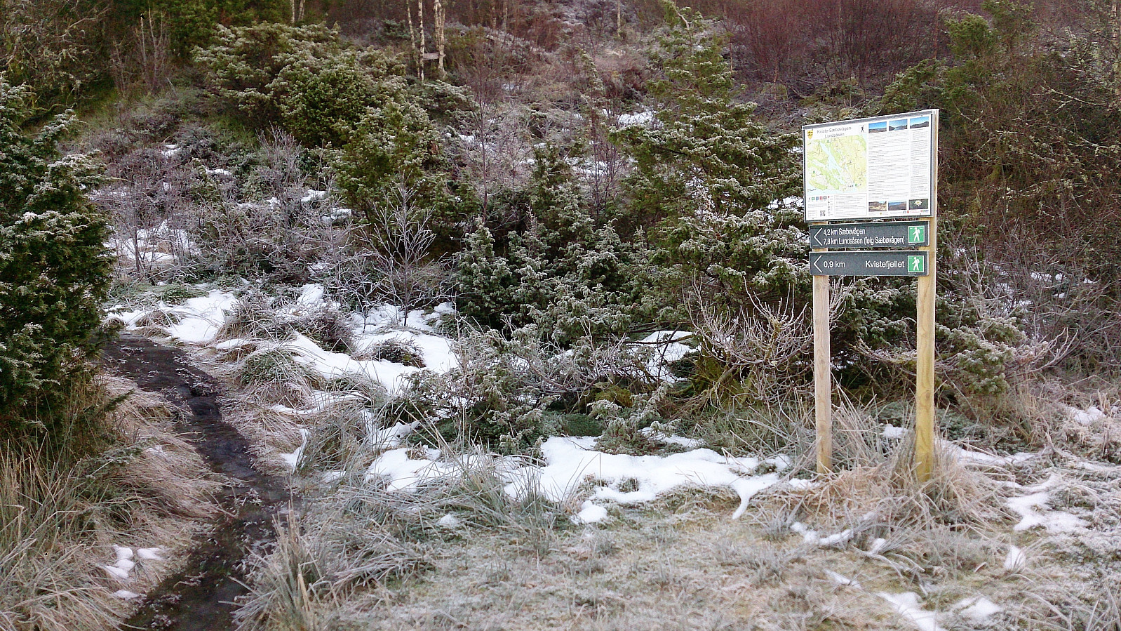
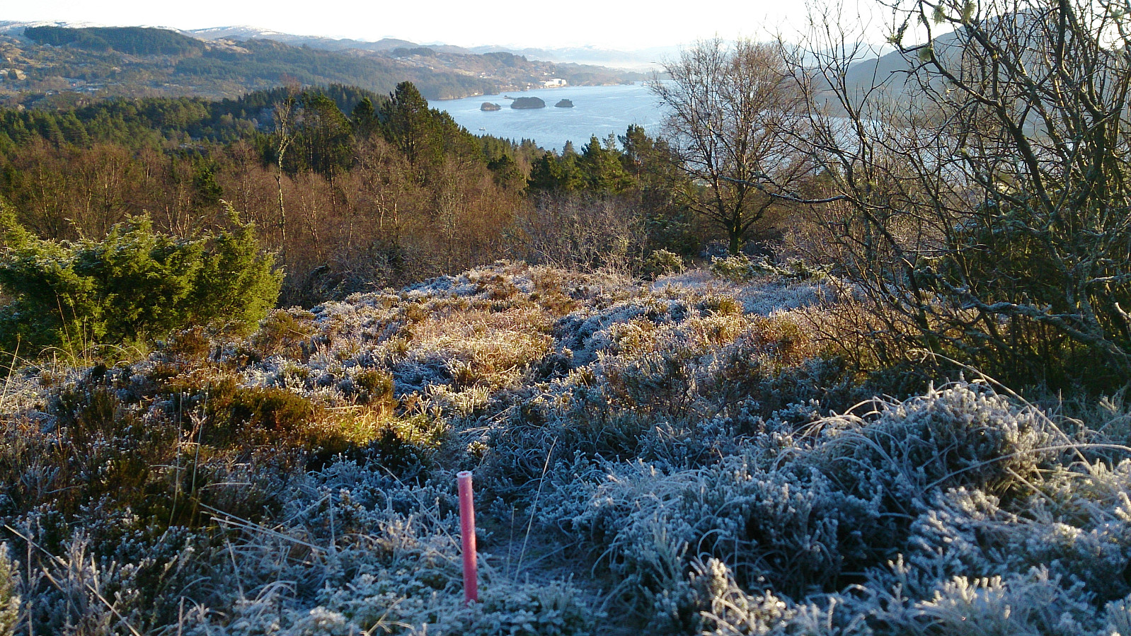
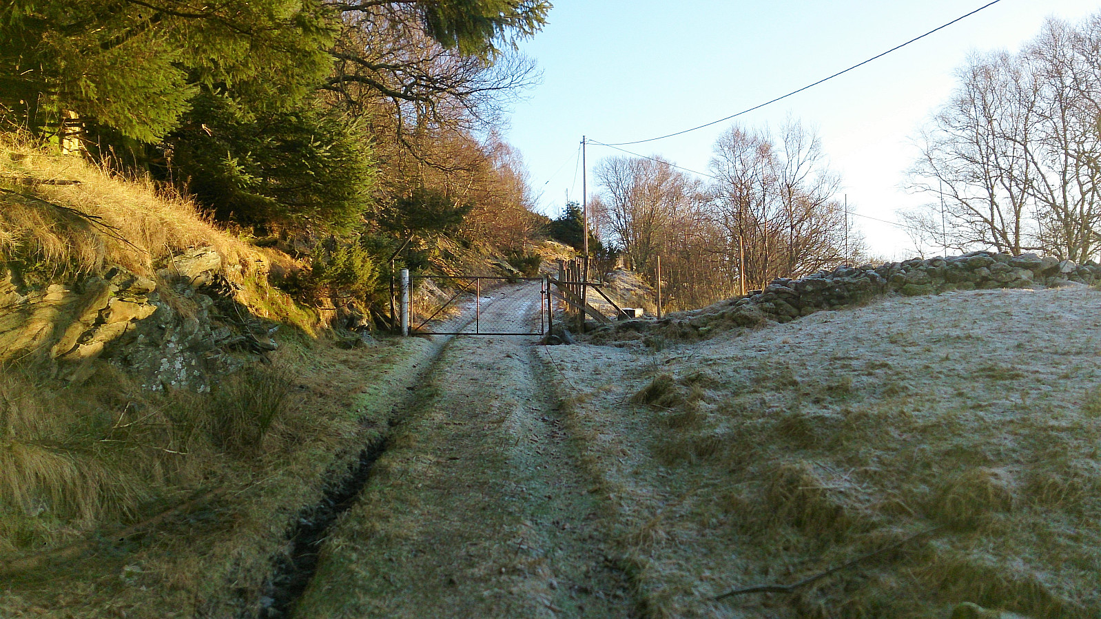
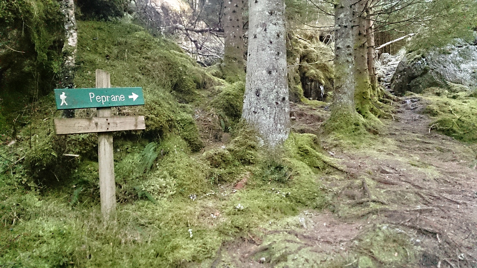
At the first crossroads I turned south towards Kvitstein, following the road until locating the marked trailhead for Kvitsteinfjellet. Calling the first couple hundred meters a trail is not strictly correct though, more of a frozen stream (see picture). Luckily this quickly improved, although there were still icy sections all the way to the summit. But the frozen ground also made it easier to cross some of the wetter areas, so it was not all bad.
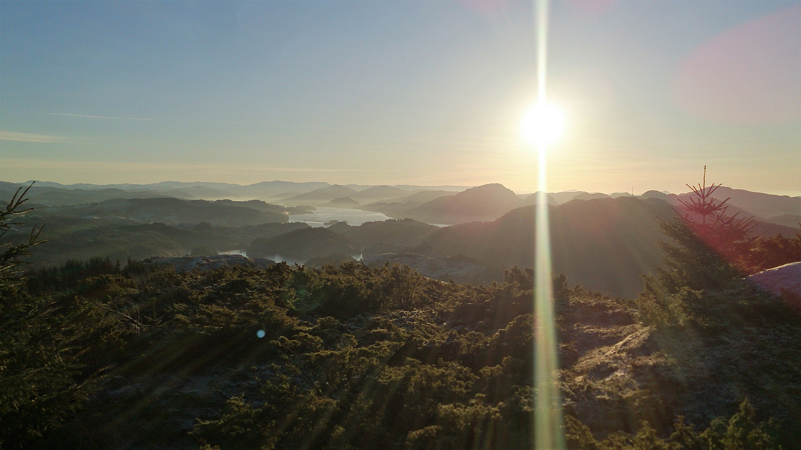
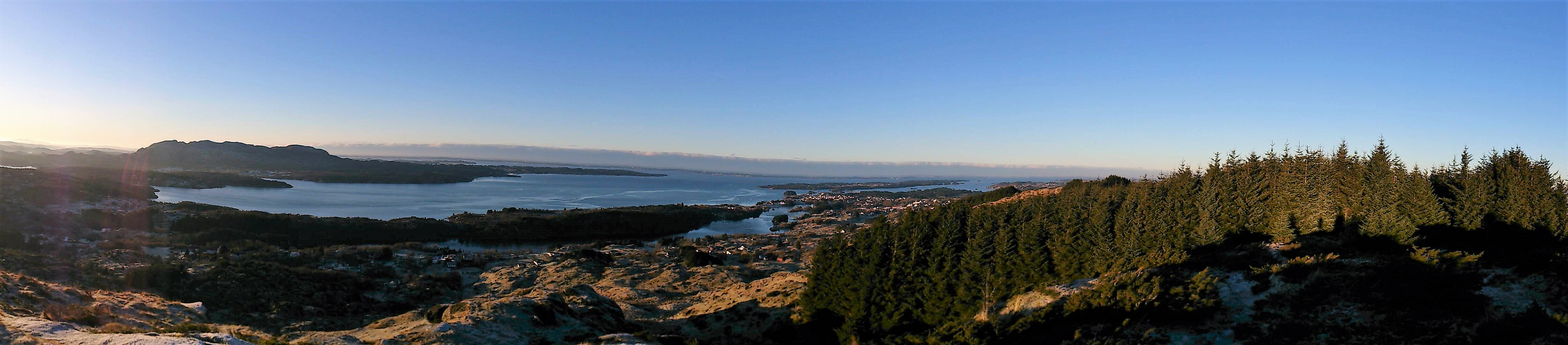
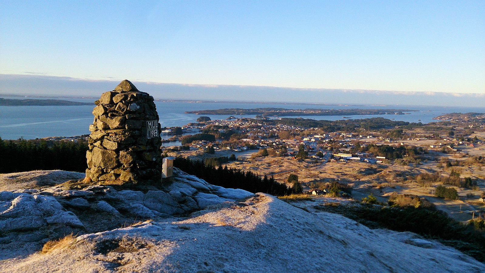
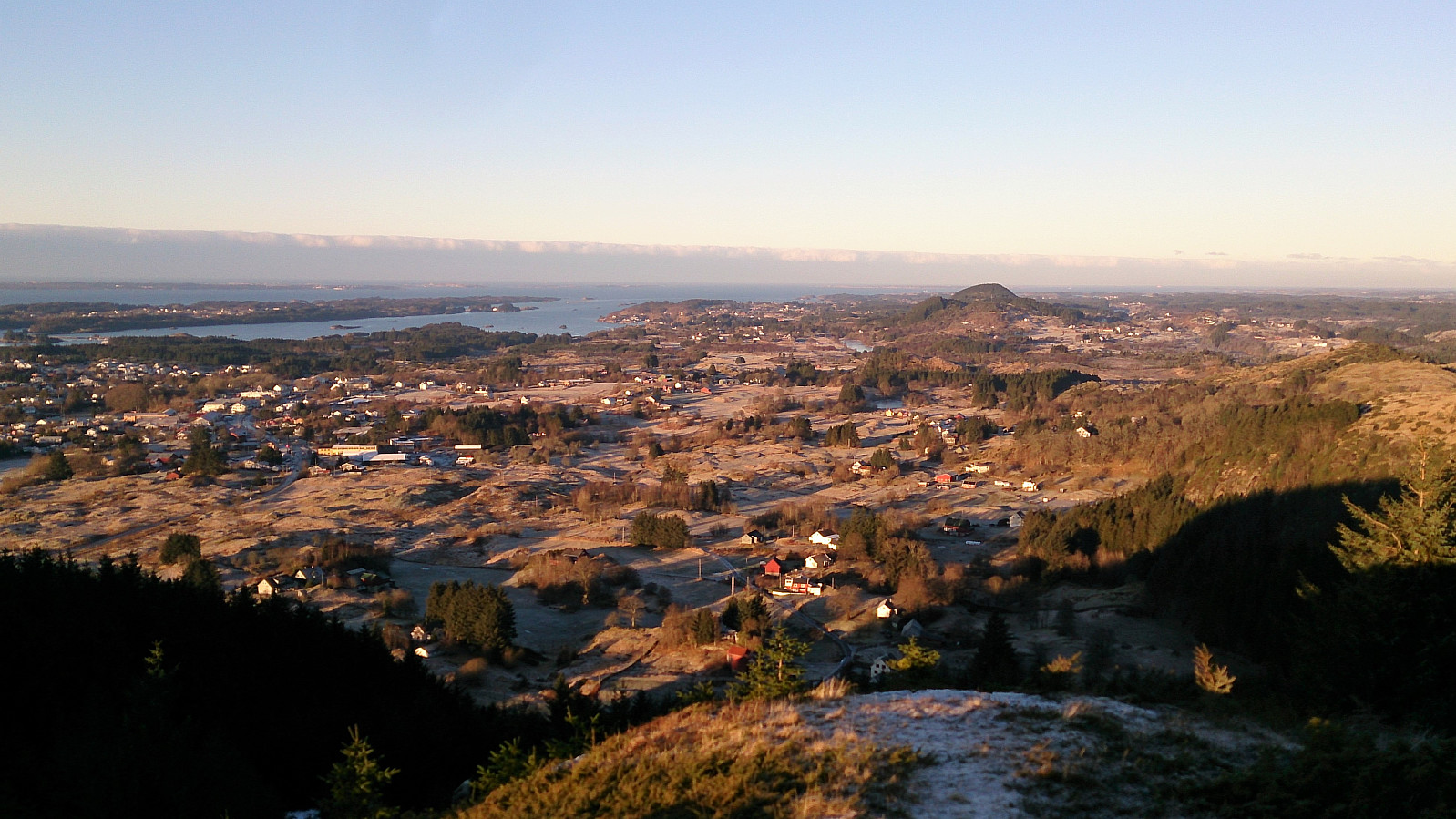
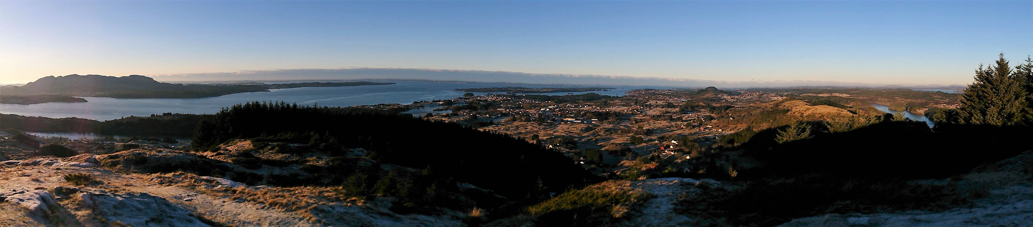
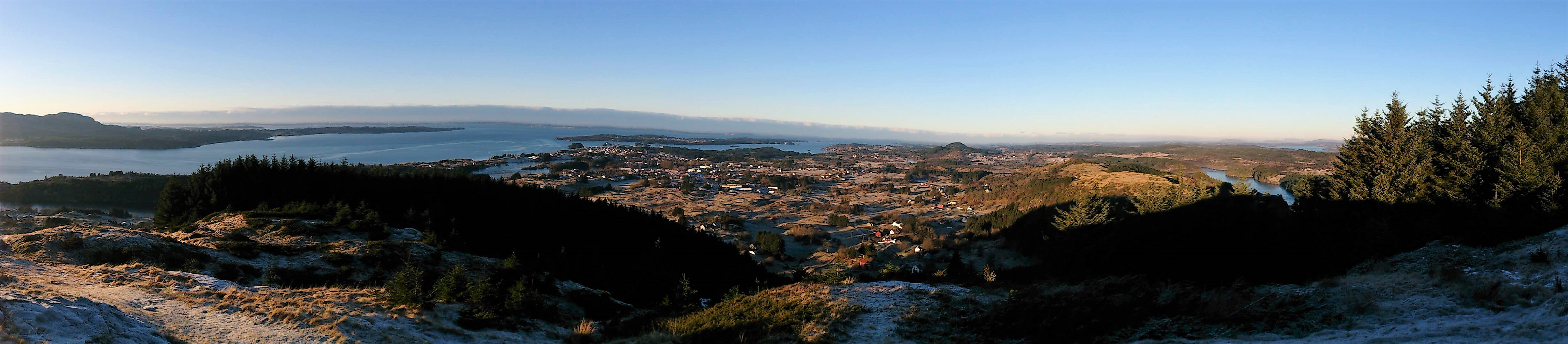
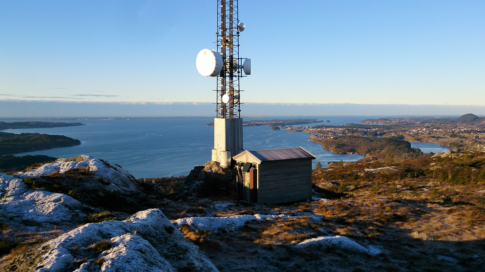
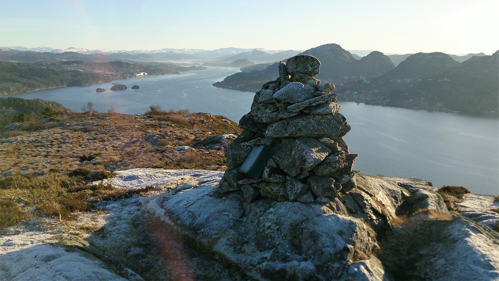
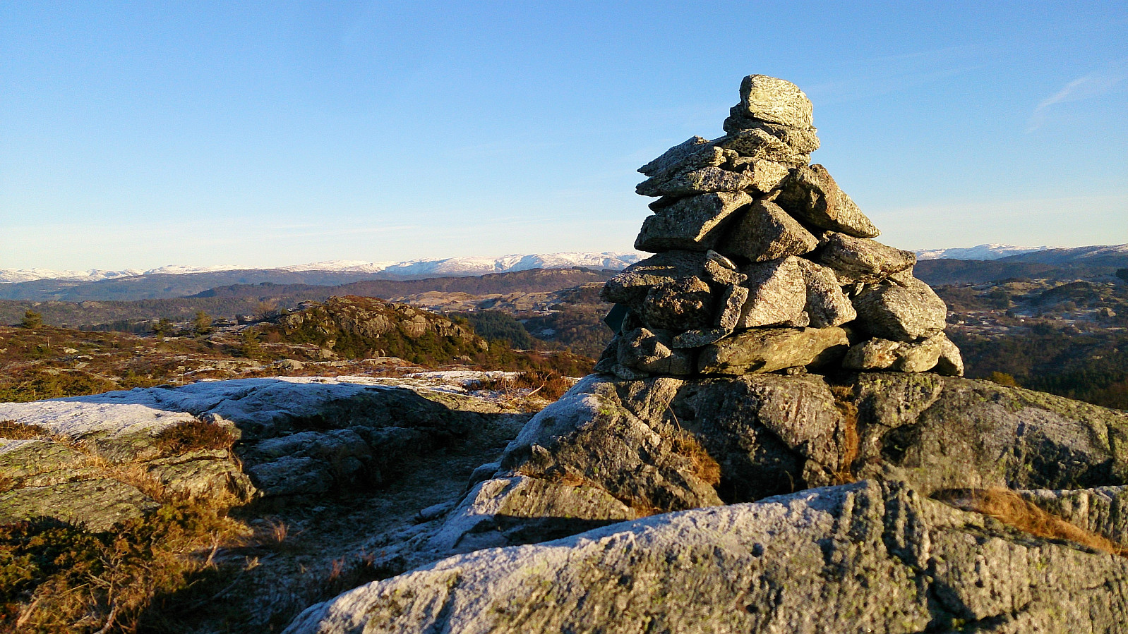
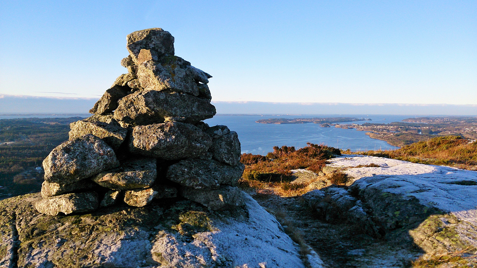
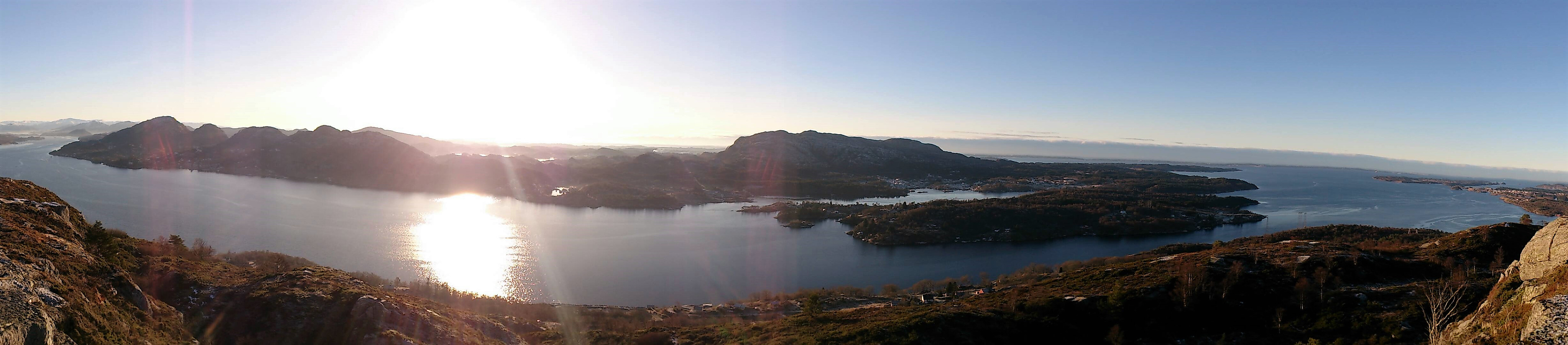
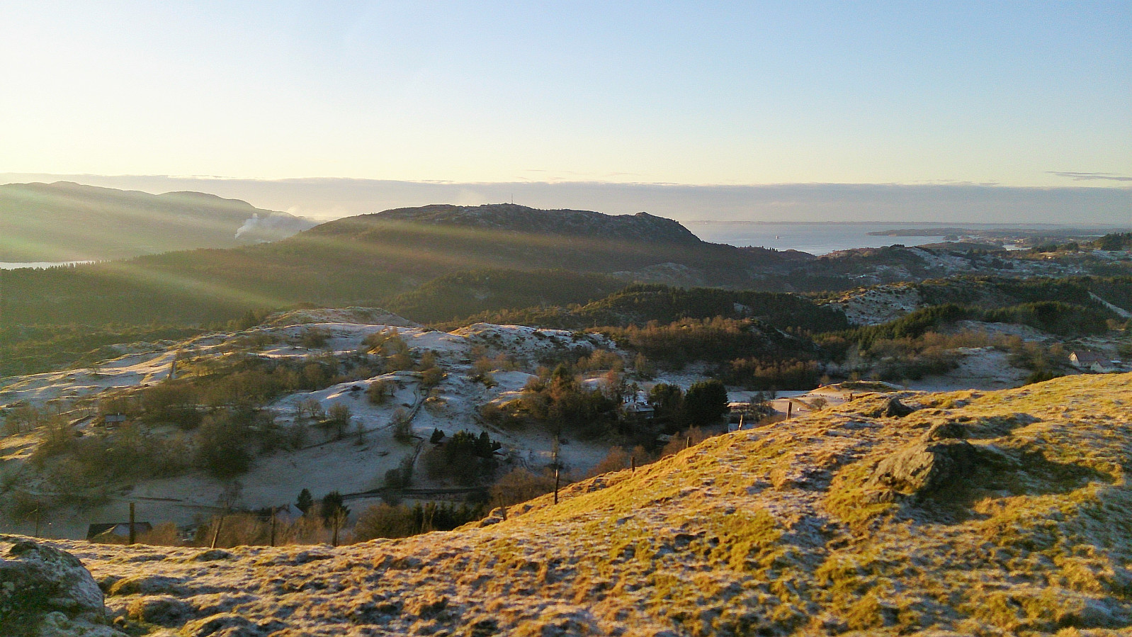
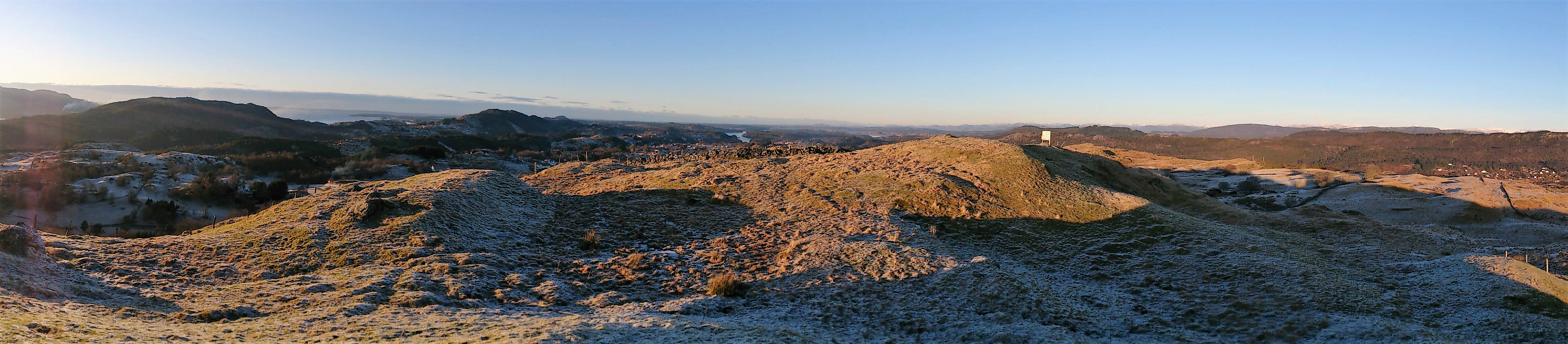
I soon arrived at the summit, and, as others have also mentioned, the big antenna did ruin the experience a bit. The views were still very nice though. To hopefully get even better views, I decided to include a visit to a cairn south of the summit that I had noticed during my ascent. This turned out to be a very good choice, as the views from the cairn were spectacular! The cairn also contained a visitor register and has now been added as a separate PB element. Highly recommended to include a visit if at Kvitsteinfjellet.
After a quick lunch, I continued east along Kvitsteinfjellet to Sæbøvågen. This part of the trail was marked, but it is clearly not very heavily used (if not counting deer, as there were traces of them all over the trail). Especially the upper parts of the trail could do with a makeover, as the trail markers were often easier to see than the trail itself. This greatly improved when getting further down though, and overall the trail could be followed without too much difficulty.
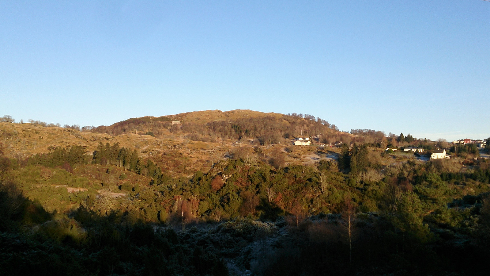
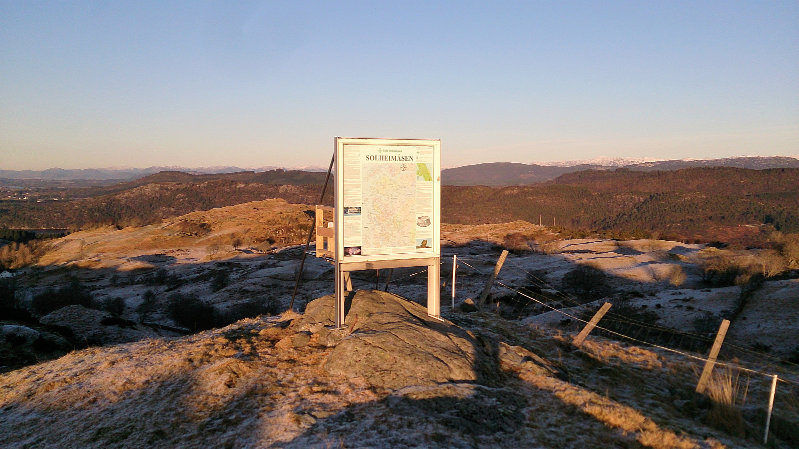
Solheimåsen
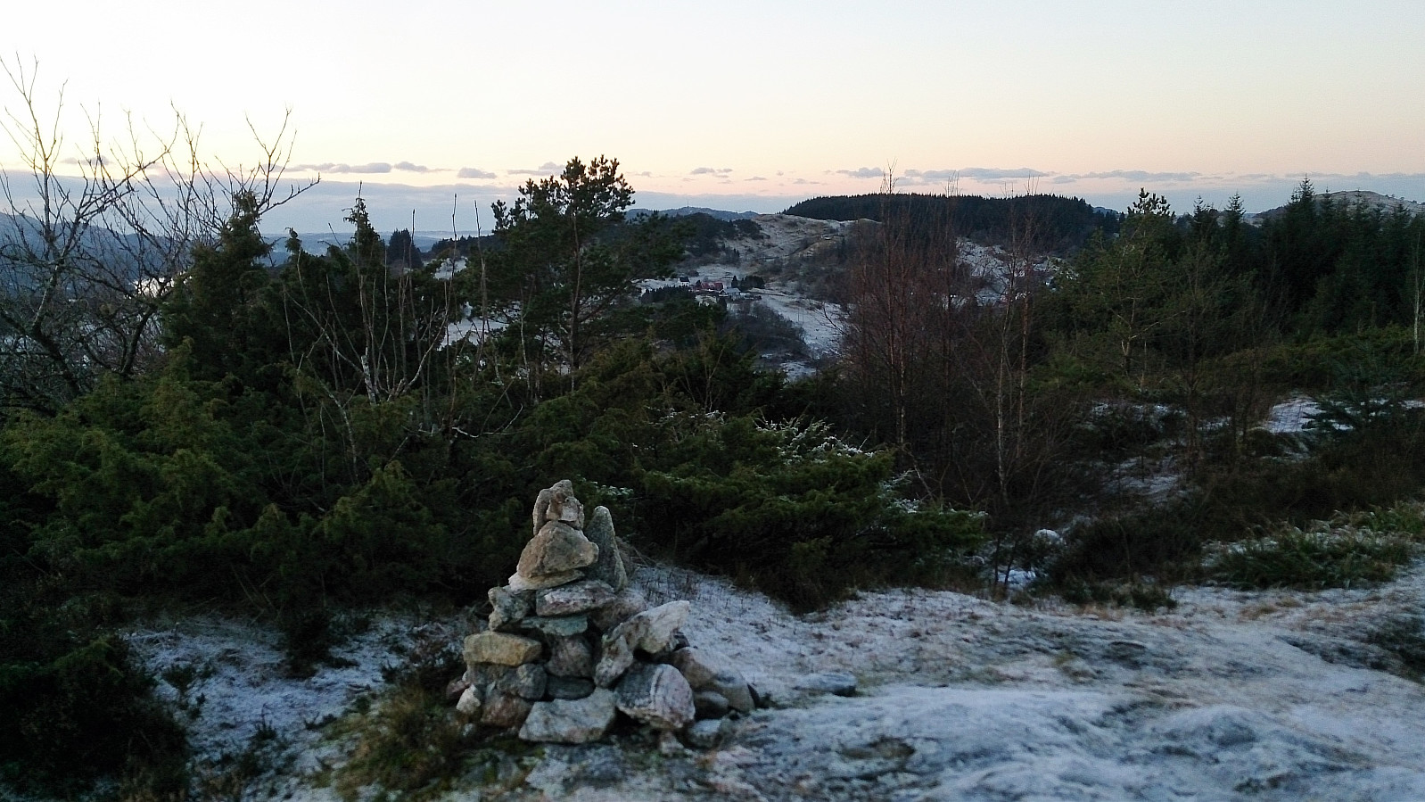
The next goal was Solheimåsen, which had been clearly visible during my descent from Kvitsteinfjellet. I think it is safe to say that my ascent was a bit different from the other trip reports I have read about Solheimåsen, as I was more or less starting from sea level.
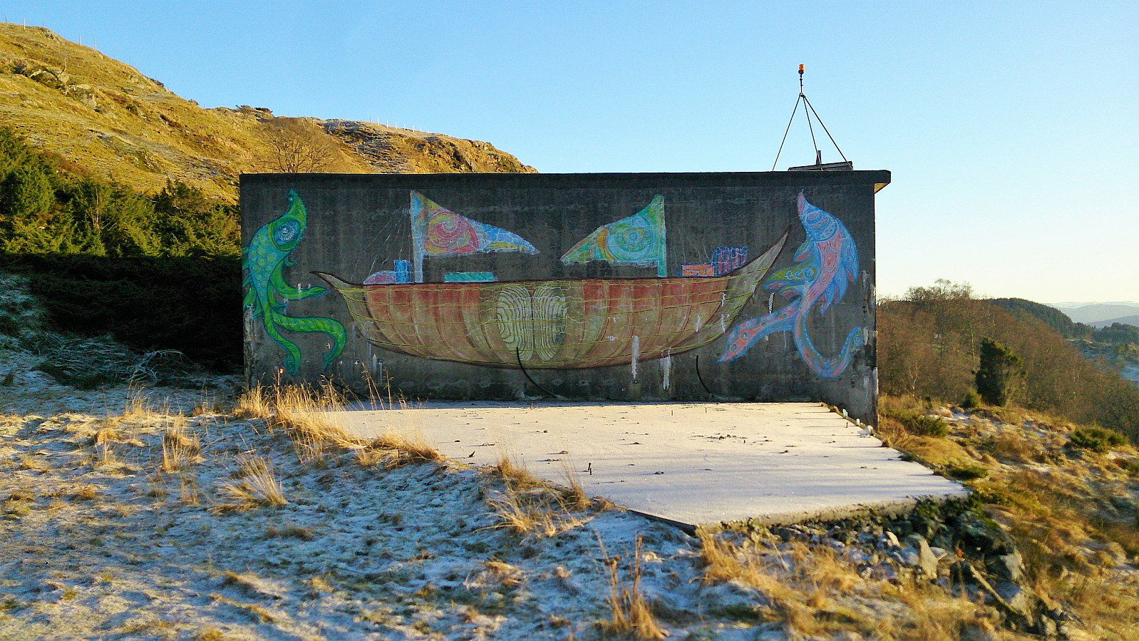
From Sæbøvågen I walked along the roads up to where a tractor road from Olsvollvegen leads up to a concrete building. Here there was a trail (or rather multiple trails/sheep tracks) that could be followed all the way to the summit, which provided very nice views, but not at the level of the previous summits of the day. Note that as I was not really sure which hill that was the highest, I visited three of them before descending the ascent route.
Vettåsfjellet
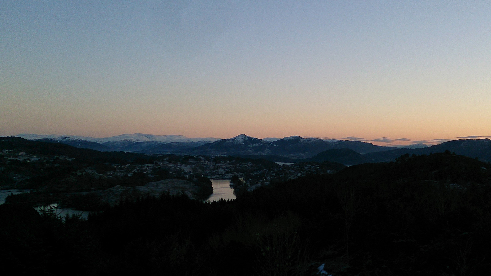
The original plan was now to head back to Sæbø and follow the shortcut east to Austmarka for the bus back to Bergen. But as the buses were not very frequent I was now in between two potential buses and given that the weather was so nice, I decided to rather continue south to Vettåsfjellet.
This included a rather boring walk along the road, but as the traffic was limited it was not too bad. After about half an hour I found myself at the marked trailhead for Vettåsfjellet and a trail that could be easily followed all the way to the summit which provided nice views.
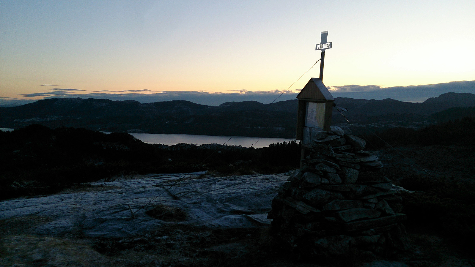
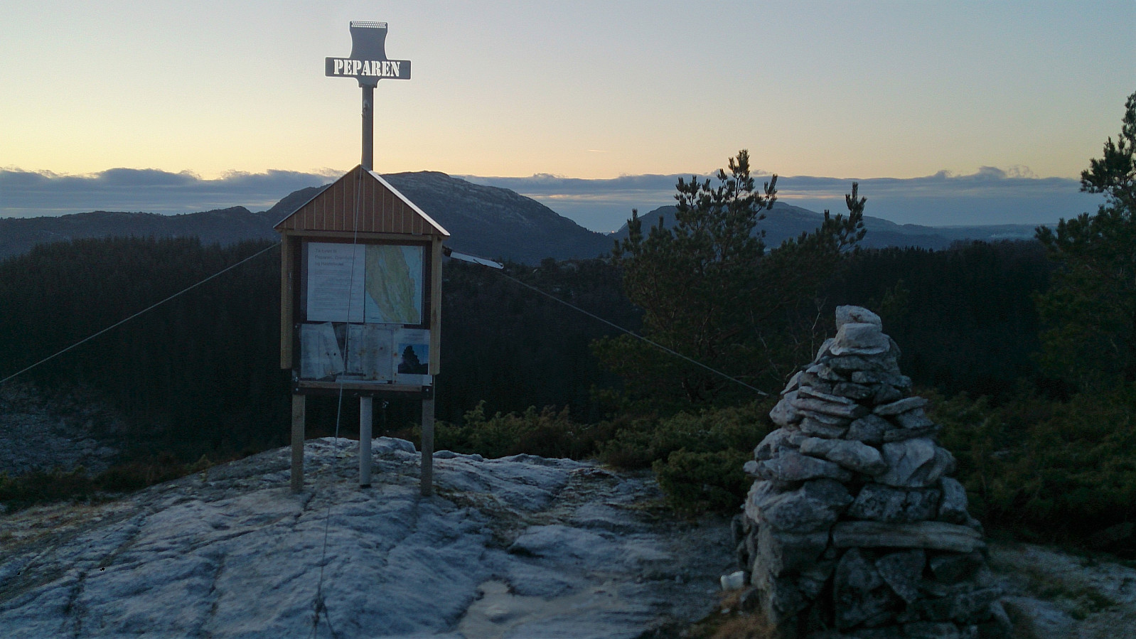
Peparen
It was now passed sunset and starting to get dark, but there was still enough light to see the trail without much difficulty. I therefore continued south along the trail to Peparen. I could not stay long though, as I now had pretty much just enough time to make it down to Rimmo (or Rimmi/Remme depending on which map you use) for the bus back to Bergen.
However, this all dependent on me making the right trail choices and not getting lost along the way. Which is more or less what happened as I was getting close to the houses above the main road. I was not very keen on having to go through someone's backyard if it could be avoided, and had to stop and check the GPS to make sure. In the end I’m not sure if I really succeeded, but making it to the bus stop in time was now a higher priority. The bus arrived seconds after I reached the main road in search of the bus stop, but luckily the bus driver was kind enough to spot my signal and wait for me to run to the bus stop which was less than hundred meters further up the road.
Conclusion
A long but very enjoyable hike including several summits with spectacular views. Kvitsteinfjellet being the favorite and can be very highly recommended. However, if one does not mind going up and down the same route, one should consider skipping the eastern route to Morkefjellet. And if having a bit more time one could consider continuing south to Soltveit (instead of the shortcut down to Rimmo), which would probably provide a better end to the hike.

| Starttidspunkt | 13.01.2018 10:19 (UTC+01:00) |
| Sluttidspunkt | 13.01.2018 16:35 (UTC+01:00) |
| Totaltid | 6t 16min |
| Bevegelsestid | 5t 40min |
| Pausetid | 0t 36min |
| Snittfart totalt | 3,5km/t |
| Snittfart bevegelsestid | 3,8km/t |
| Distanse | 21,8km |
| Høydemeter | 1126m |


Kommentarer