
Langaheia: from Spelhaugen to Nipedalen (12.01.2018)

Written by hbar (Harald Barsnes)

| Start point | Skarphaugen (39m) |
|---|---|
| Endpoint | Nipedalen (109m) |
| Characteristic | Hillwalk |
| Duration | 1h 13min |
| Distance | 3.8km |
| Vertical meters | 192m |
| GPS |
|
| Ascents | Langaheia (130m) | 12.01.2018 |
|---|---|---|
| Visits of other PBEs | Tennebekktjernet (95m) | 12.01.2018 |
Langaheia: from Spelhaugen to Nipedalen
Started by taking the bus to Fyllingsdalsveien (bus stop called Skarphaugen) and from there walked up to Spelhaugen and the start of the gravel road towards Tennebekkstjernet.
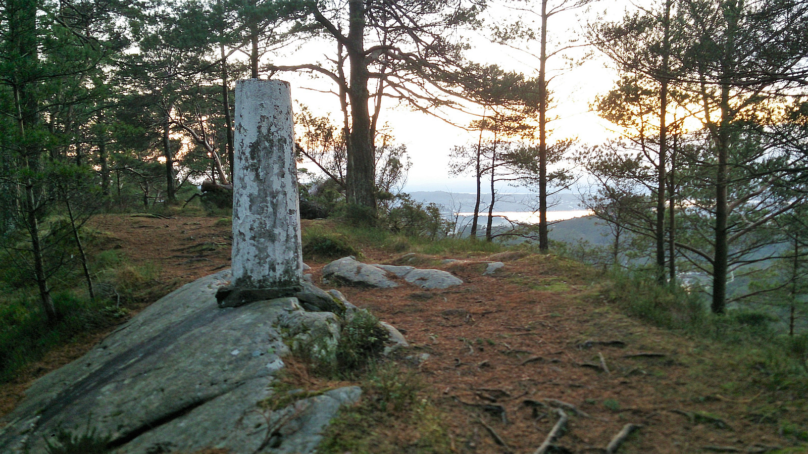
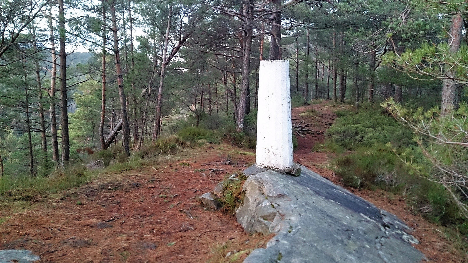
Immediately after leaving the car park I turned west, crossing the small wooden bridge and followed the unmarked trail to Langaheia. Normally this would be a very easy summit to get to, but today the trail was full of ice and slippery wet roots.
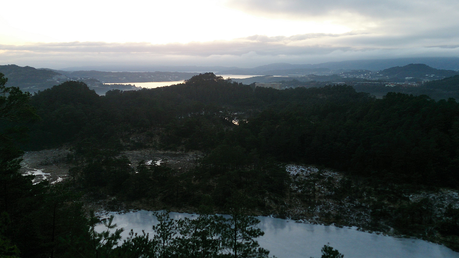
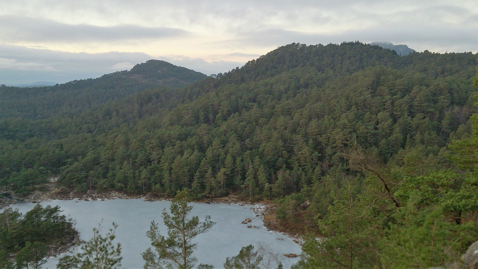
The summit provided much better views than expected. After returning to the gravel road, the plan was to move quickly to the bus stop in Nipedalen. This ended up taking a bit longer than planned though, as significant sections of the road were packed with ice, requiring extra caution. This did however improve when getting closer to Tennebekkstjernet.
From Nipedalen, I took the bus back to the city center. A short hike that can be recommended, but perhaps wait until the ice melts. ;)
| Start date | 12.01.2018 15:16 (UTC+01:00) |
| End date | 12.01.2018 16:29 (UTC+01:00) |
| Total Time | 1h 13min |
| Moving Time | 1h 11min |
| Stopped Time | 0h 1min |
| Overall Average | 3.1km/h |
| Moving Average | 3.2km/h |
| Distance | 3.8km |
| Vertical meters | 191m |


User comments