
Tellnes skule to Døsjeskiftet (06.01.2018)

Written by hbar (Harald Barsnes)

| Start point | Tellnes skule (42m) |
|---|---|
| Endpoint | Døsjeskiftet (39m) |
| Characteristic | Hillwalk |
| Duration | 5h 15min |
| Distance | 16.9km |
| Vertical meters | 971m |
| GPS |
|
| Ascents | Haganesfjellet (232m) | 06.01.2018 |
|---|---|---|
| Høgevarden (103m) | 06.01.2018 | |
| Liatårnet (341m) | 06.01.2018 | |
| Pyttane søndre (330m) | 06.01.2018 |
Tellnes skule to Døsjeskiftet
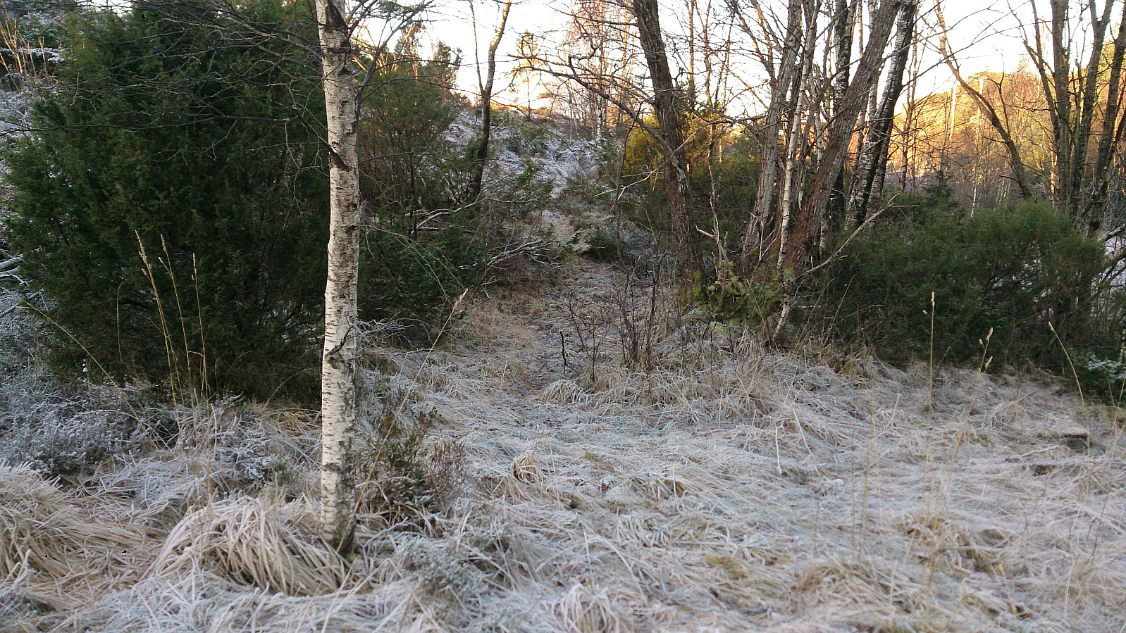
Started by taking the bus to Tellnes skule. From the bus stop I located the weak trail from the map, which I proceeded to follow west before later turning south and connecting with Nordsjøløypa. The trail was clearly not the most heavily used, but could be easily followed. I missed the crossroads where the trail towards Høgevarden started, but after a couple of meters I connected with the trail, which I then followed almost to the summit, with a shortcut towards the end.
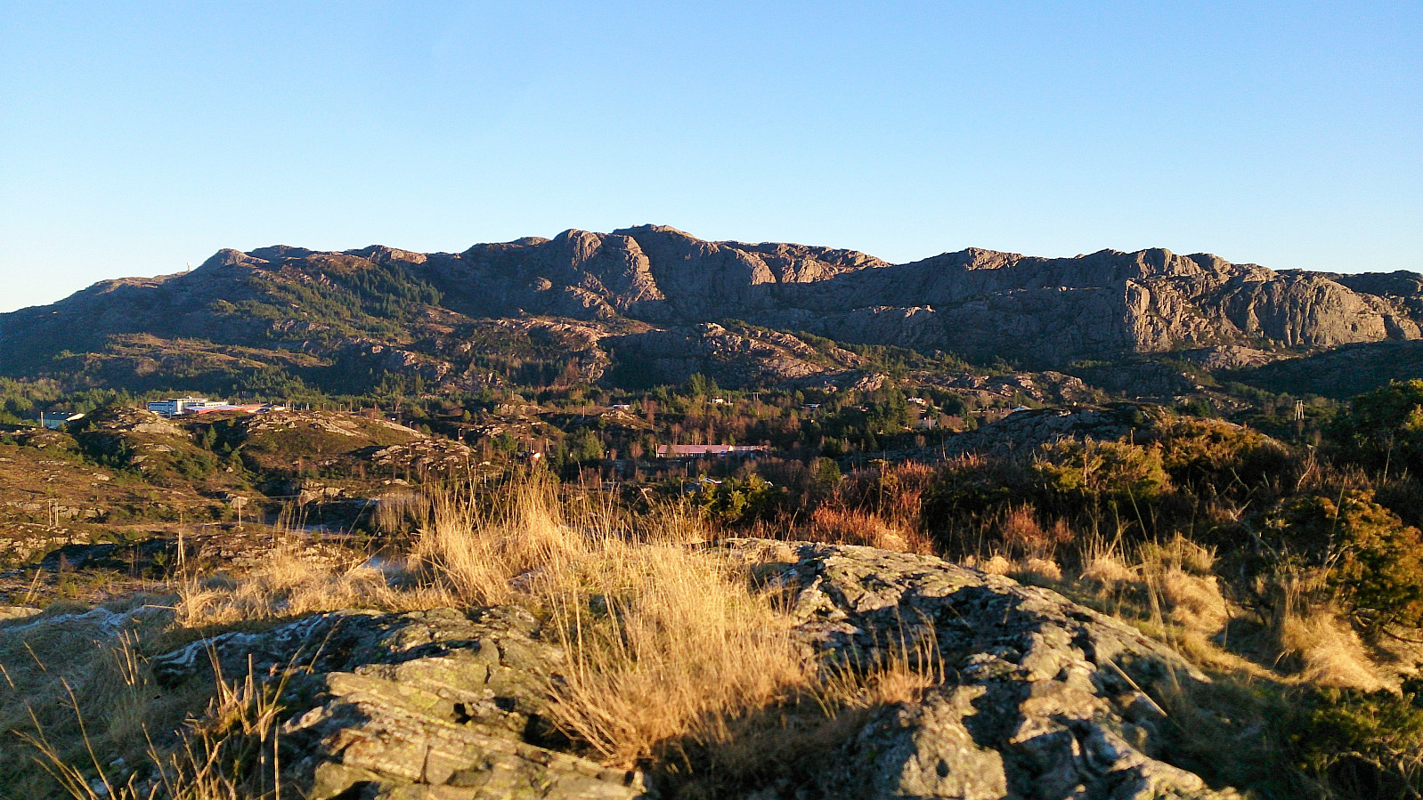
The views were slightly better than expected, but better versions of very similar views can of course be obtained from Liatårnet and Haganesfjellet. After a short stay, I started my descent, this time following the trail all the way to where it connected with Nordsjøløypa. I did not follow the trail all the way back to the bus stop though, but rather followed the alternative trail directly to the main road, which I then walked along for about 200 meters.
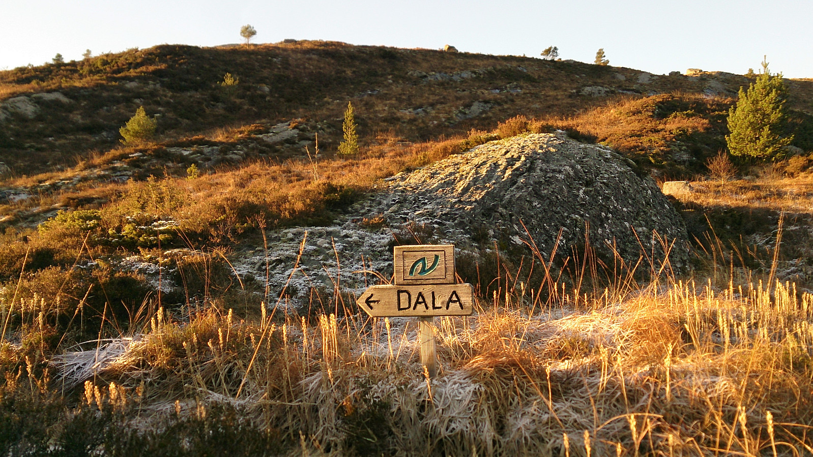
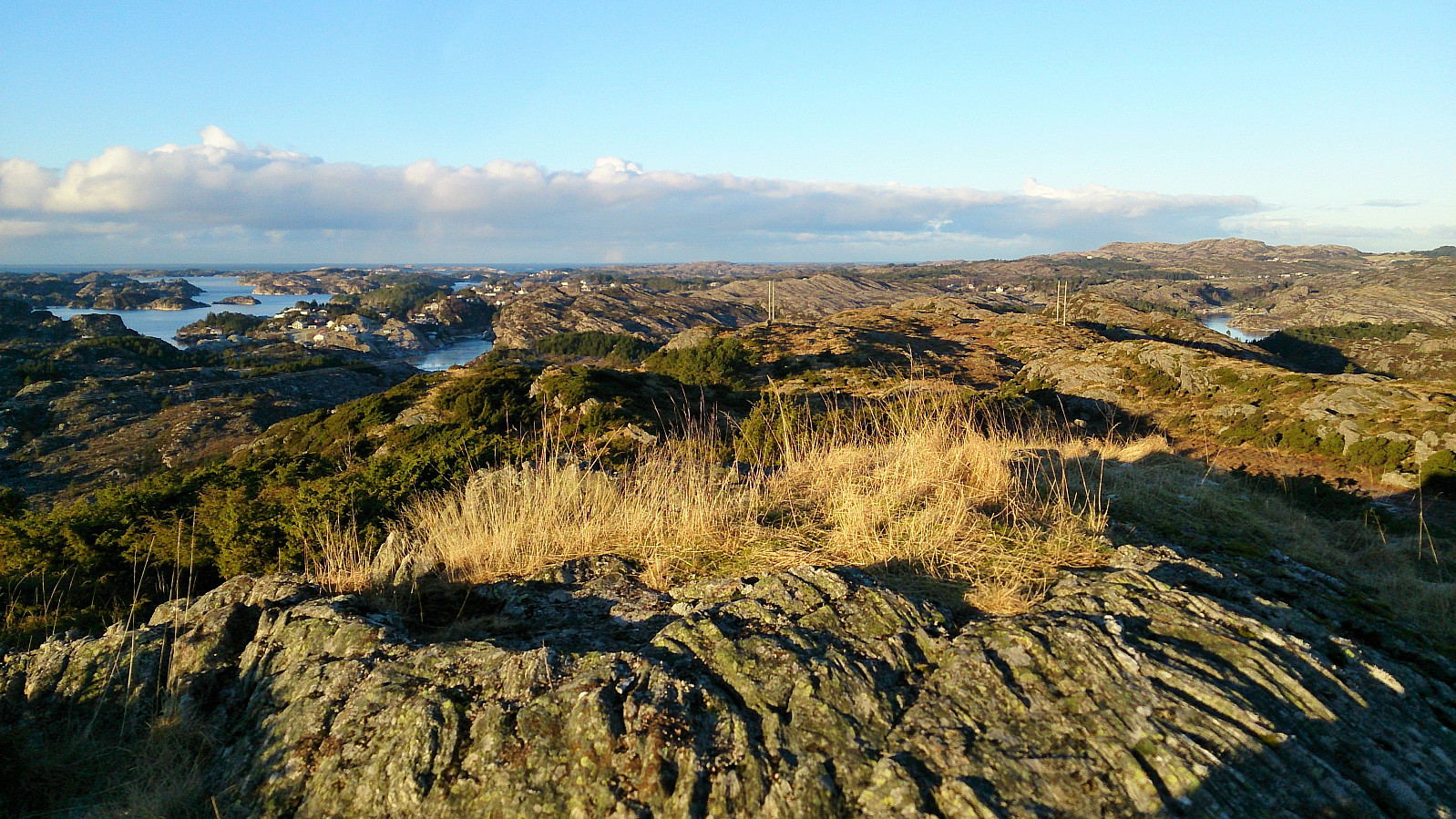
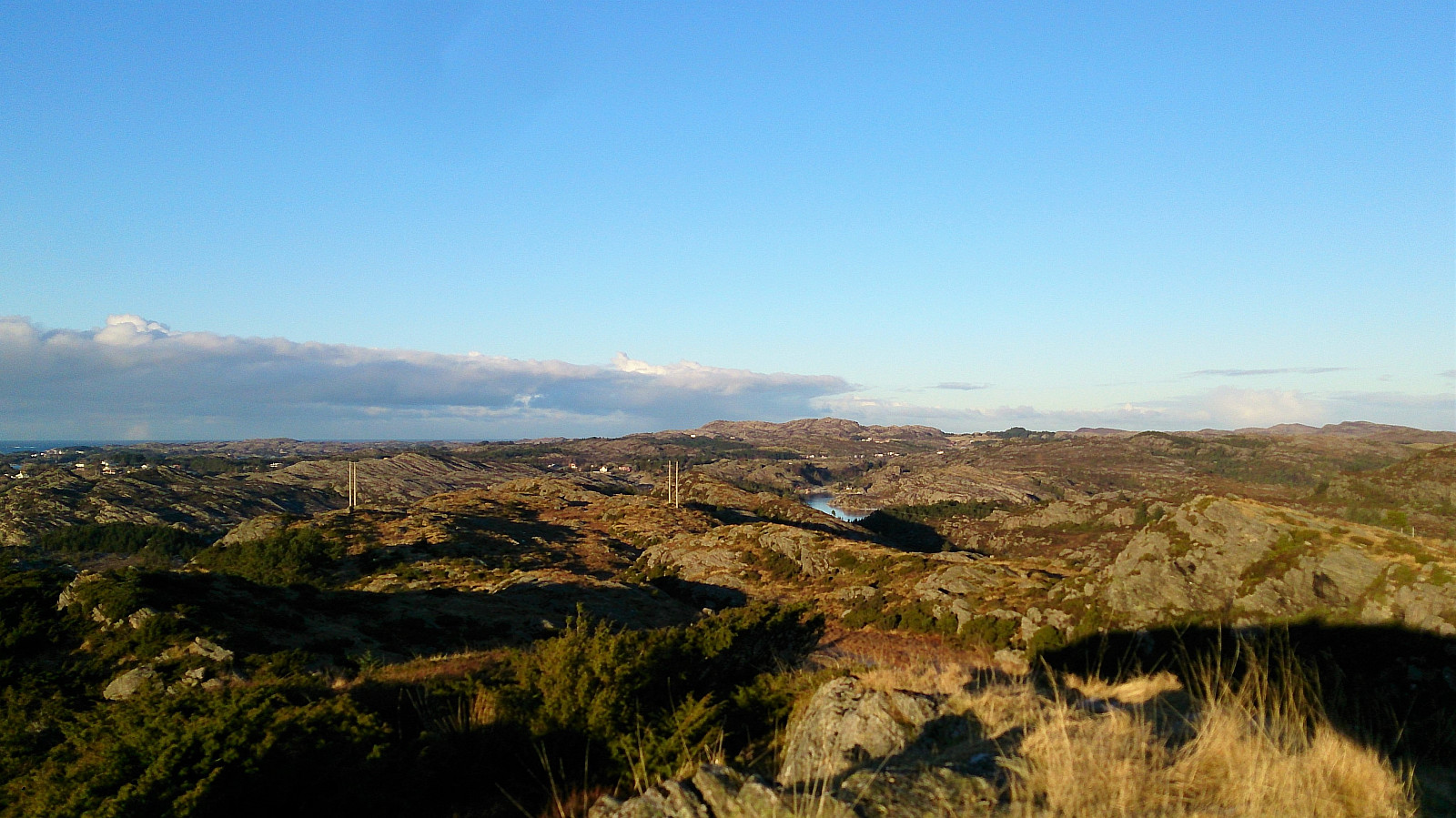
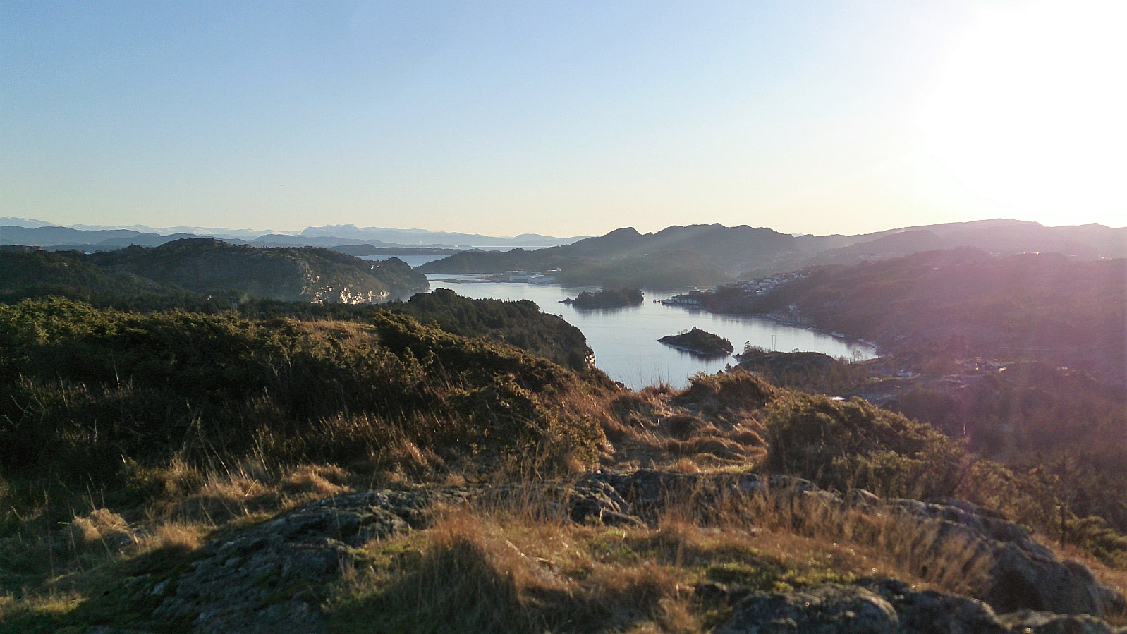
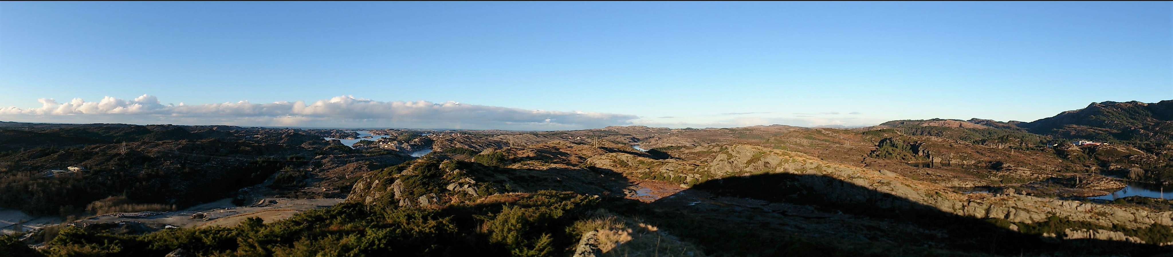
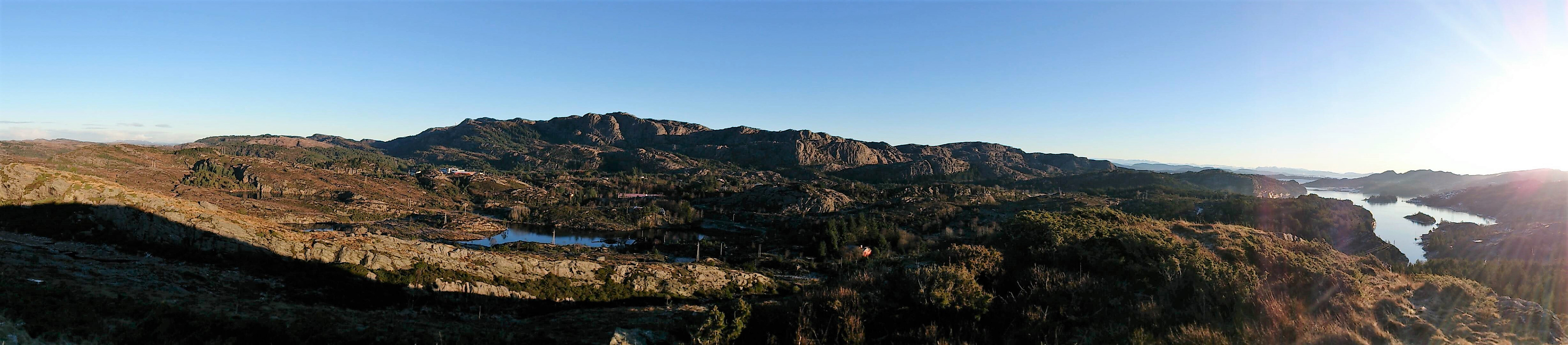
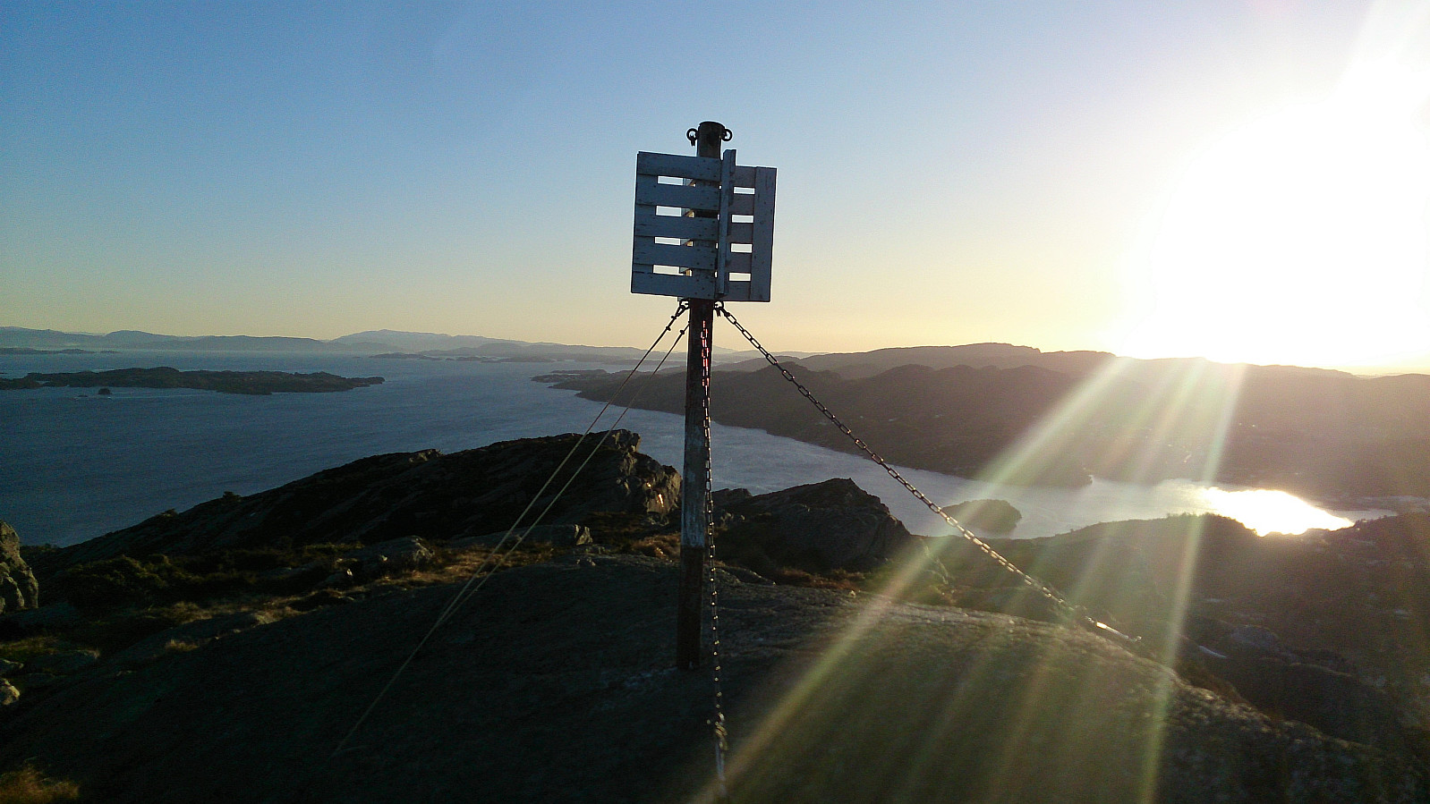
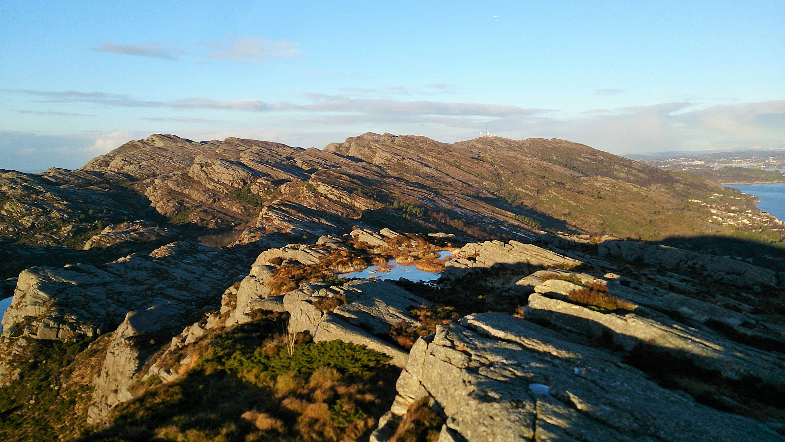
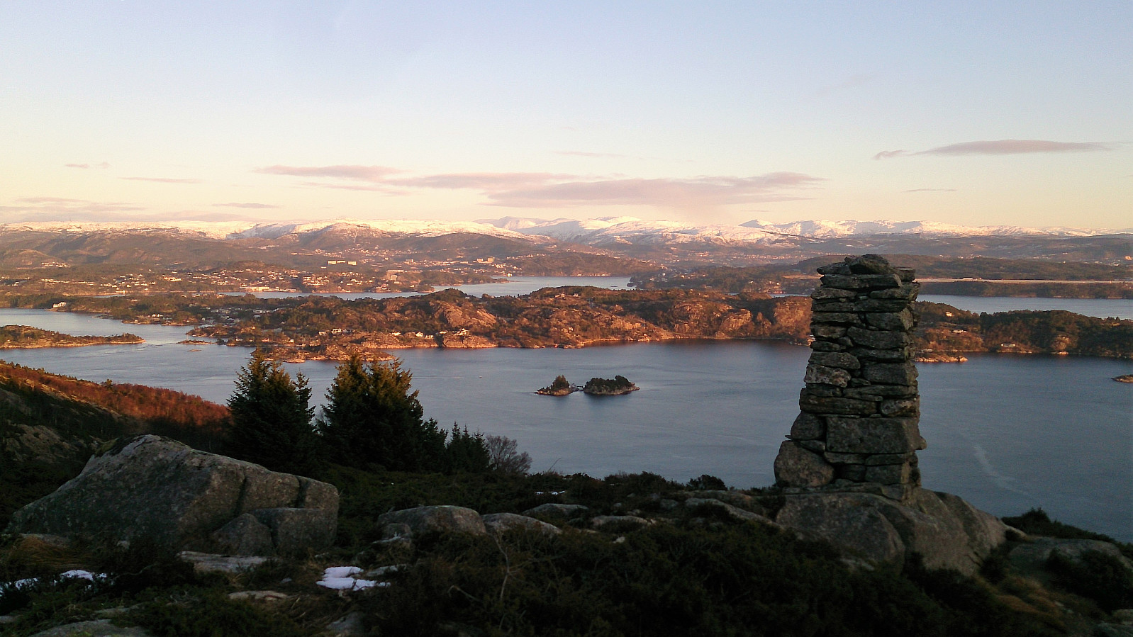
From Tellnes skule I followed a gravel road east, crossing Tellnesvegen and ending up at the small lake called Pollen. Again I followed Nordsjøløypa, now southeast, almost until Haganesvegen, where the trail split and I headed northeast towards Liatårnet and Haganesfjellet. After not too long, the trail split again, and I went southeast towards Haganesfjellet, with a short detour to Ørnanipa. The views from Haganesfjellet where spectacular as always.
Next, I followed the trail down to Liaskjeret, where the original plan was to take the bus back to the city center. However, I was way too early for the bus, and while walking north along the road I started looking for an alternative.
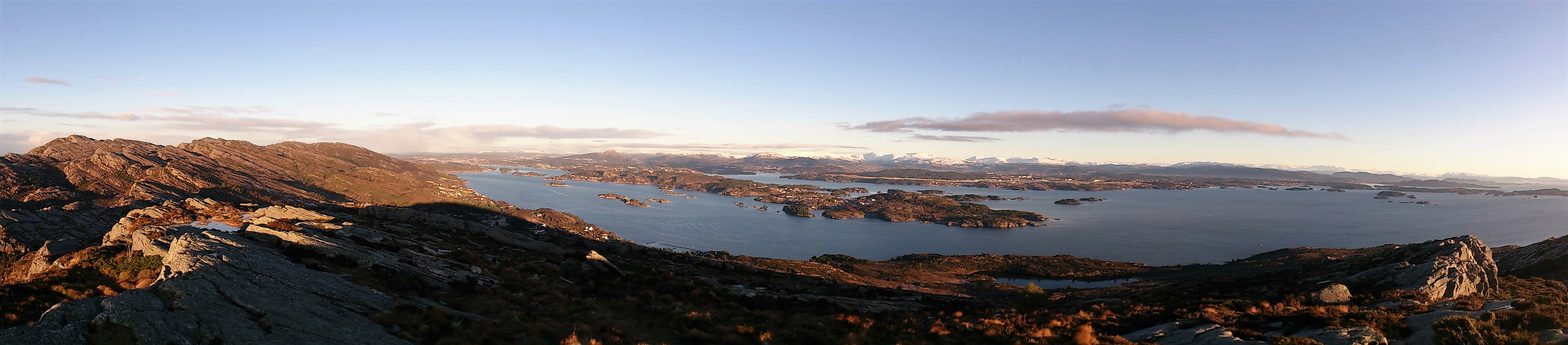
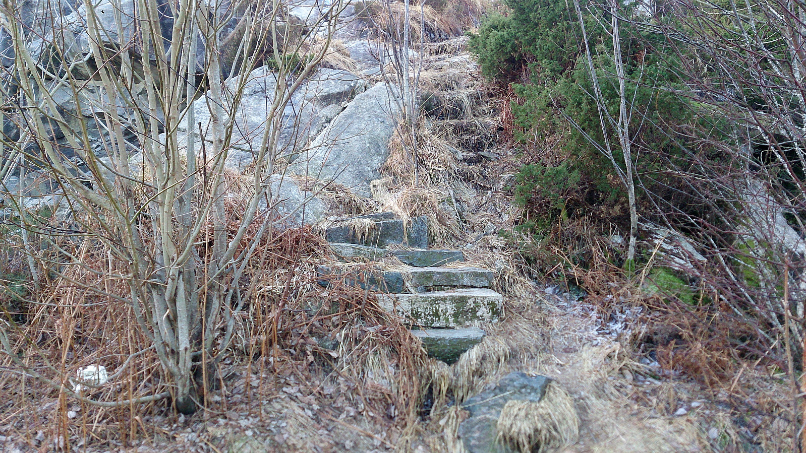
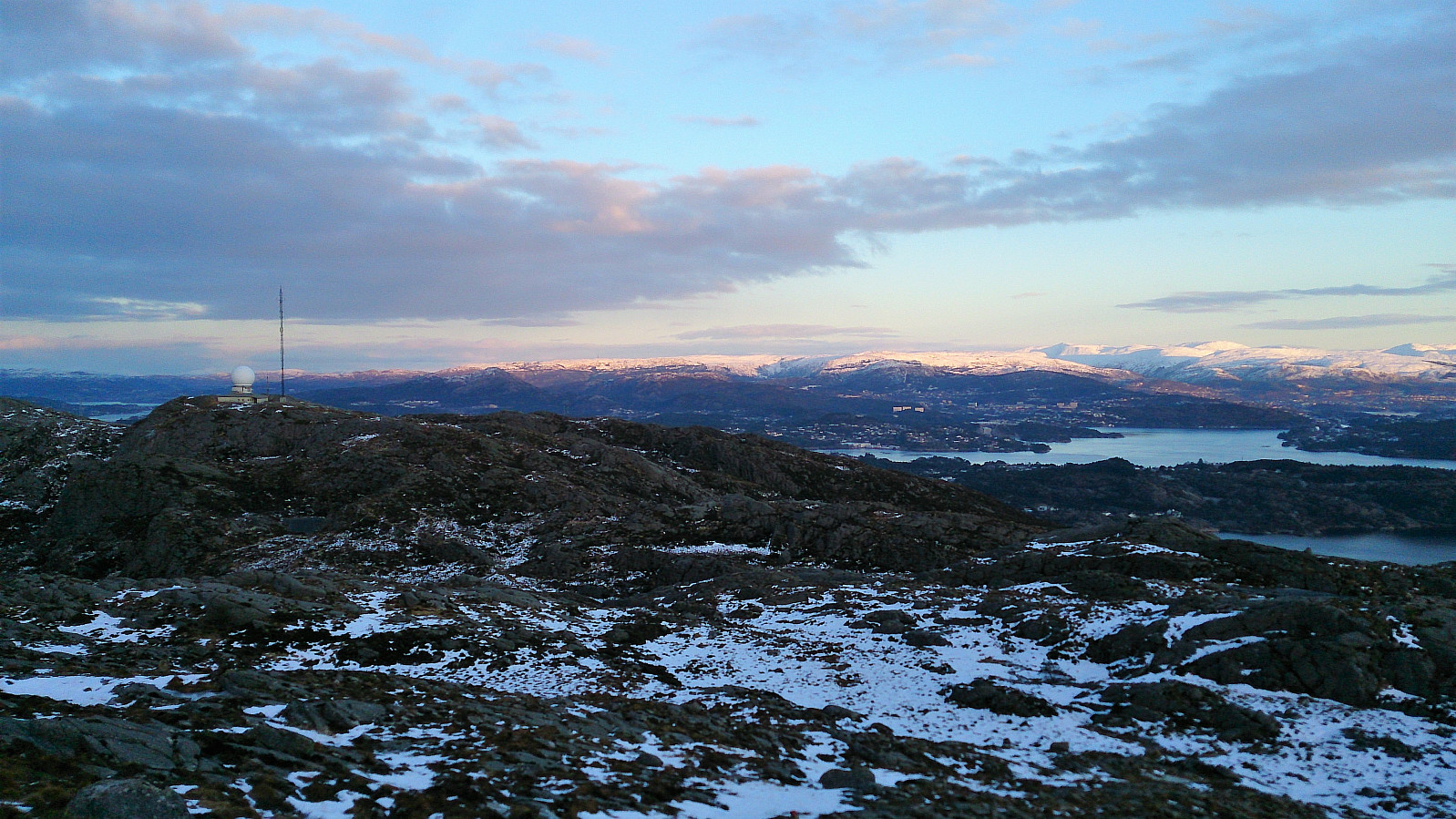
After studying the map, the trail from Li to Liatårnet looked the most promising. The trailhead was easily located, and the trail even had its own name: Nilskløyvo. Overall a very nice trail, with stone steps and small wooden bridges, but today lots of ice made some sections a bit more challenging than usual.
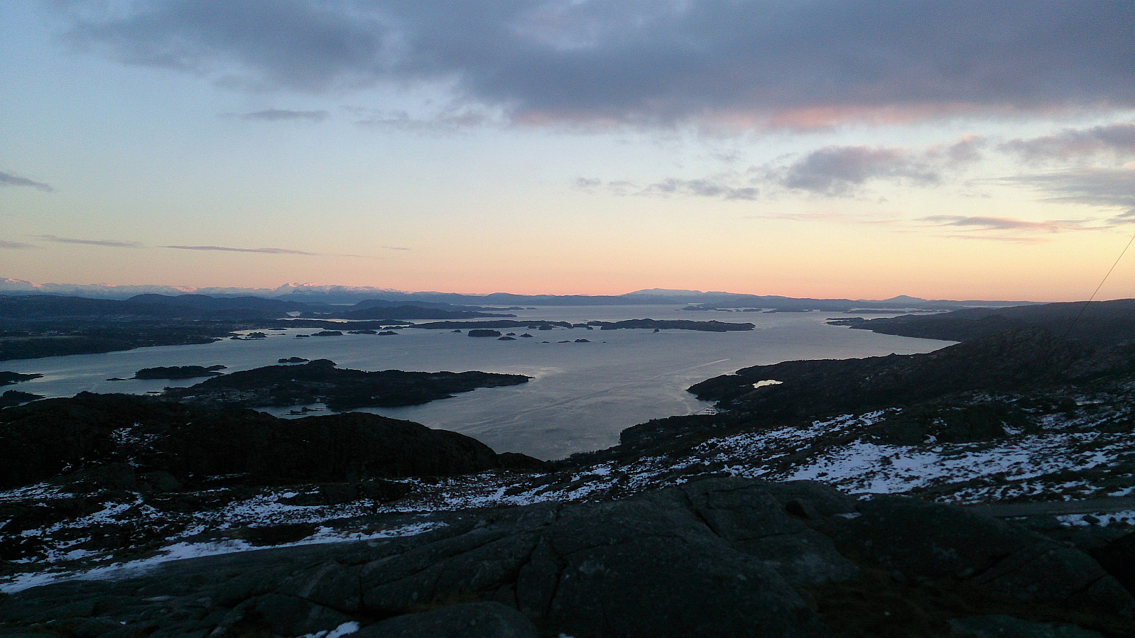
I arrived at Liatårnet as the sun was about to set. Did not stay long and headed for Pyttane via an alternative route, which soon reconnected with the main trail. The ice had been an extra element to tackle throughout the day, and the paved road down from Pyttane was no exception. It did improve significantly as I descended though.
I still decided to take the trail to Døsjeskiftet instead of continuing down the road to Ekrhovda, making it to the paved road by Bildøyvatnet just before it got too dark to hike without extra light. The paved road was then followed down to Døsjeskiftet for the bus back to the city center.


| Start date | 06.01.2018 11:34 (UTC+01:00) |
| End date | 06.01.2018 16:50 (UTC+01:00) |
| Total Time | 5h 15min |
| Moving Time | 5h 00min |
| Stopped Time | 0h 15min |
| Overall Average | 3.2km/h |
| Moving Average | 3.4km/h |
| Distance | 16.9km |
| Vertical meters | 970m |


User comments