
Oksneskletten - the extended version (28.12.2017)

Geschrieben von hbar (Harald Barsnes)

| Startpunkt | Merkesvik (19m) |
|---|---|
| Endpunkt | Vågsbotnen (28m) |
| Tourcharakter | Bergtour |
| Tourlänge | 3h 22min |
| Entfernung | 8,9km |
| Höhenmeter | 360m |
| GPS |
|
| Besteigungen | Kanekletten (60m) | 28.12.2017 |
|---|---|---|
| Oksneskletten (62m) | 28.12.2017 |
Oksneskletten - the extended version
After reading the previous trip reports for Oksneskletten on PB, I concluded that a hike to just the summit would most likely not be the most enjoyable trip (especially given the relatively long travel distance from the Bergen city center). I therefore decided to extend the hike with parts of the Askøy på langs trail to hopefully add some more enjoyable sections.
I therefore started by taking the bus to Merkesvik and from there following the Askøy på langs trail in the southern direction. The marked trailhead was easy to locate from the main road and the trail made it straightforward to progress towards Oksneset.
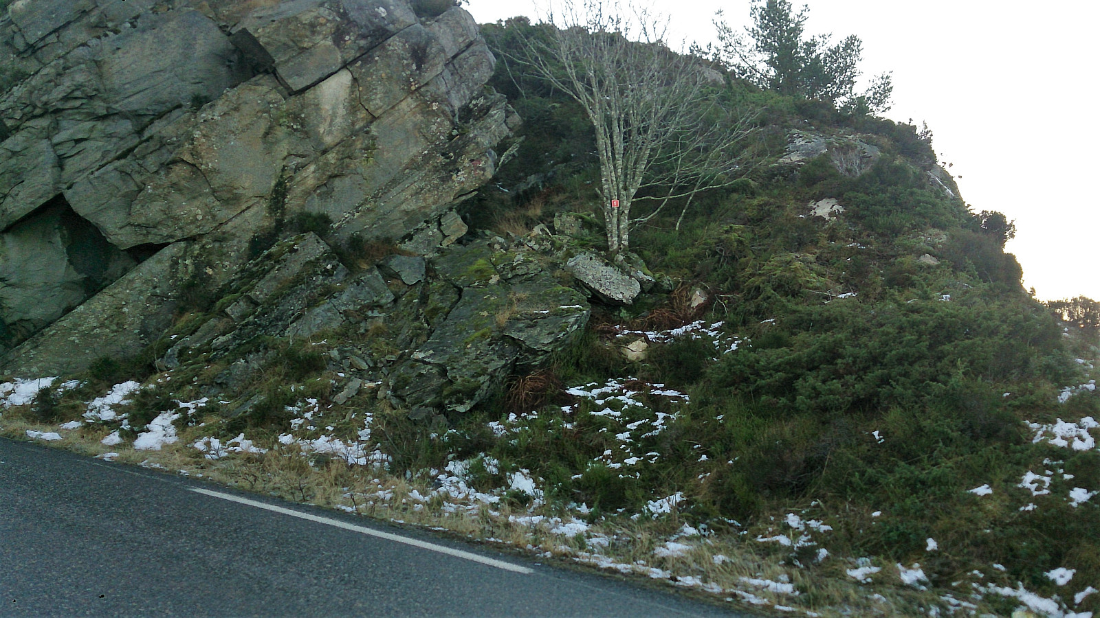
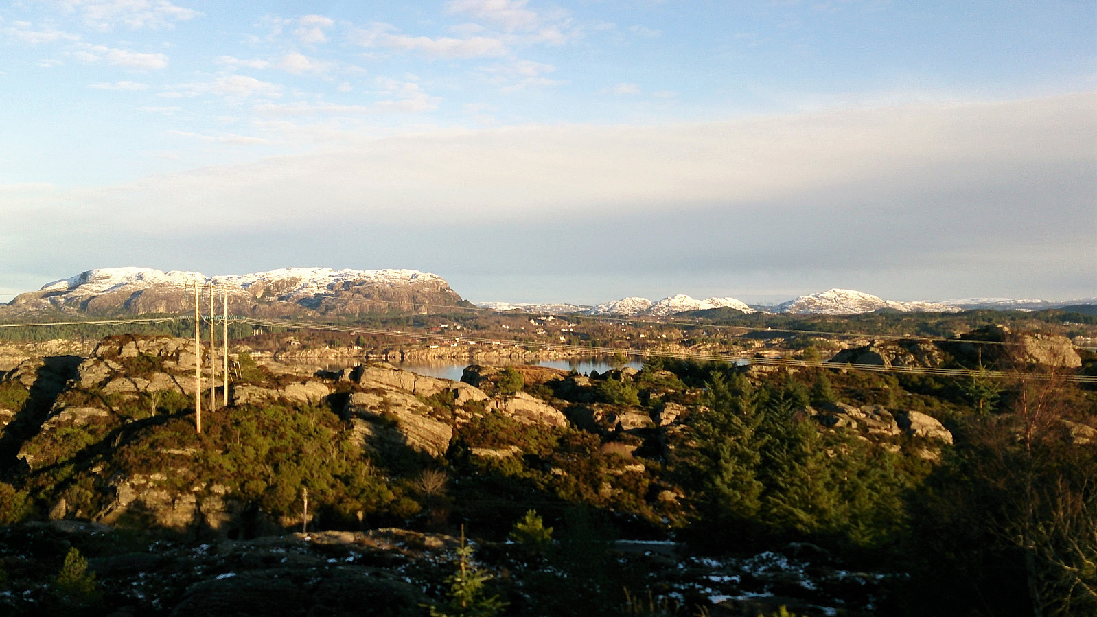
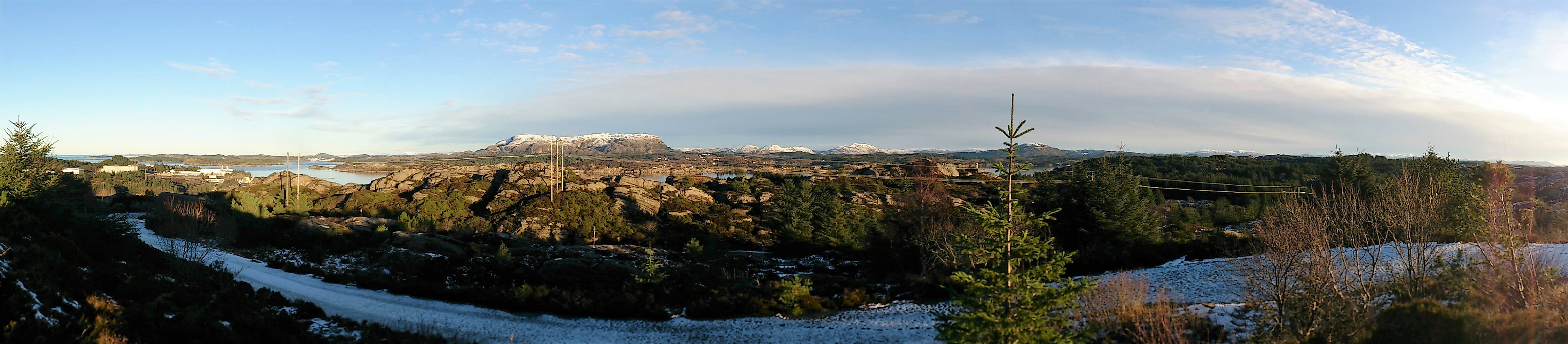
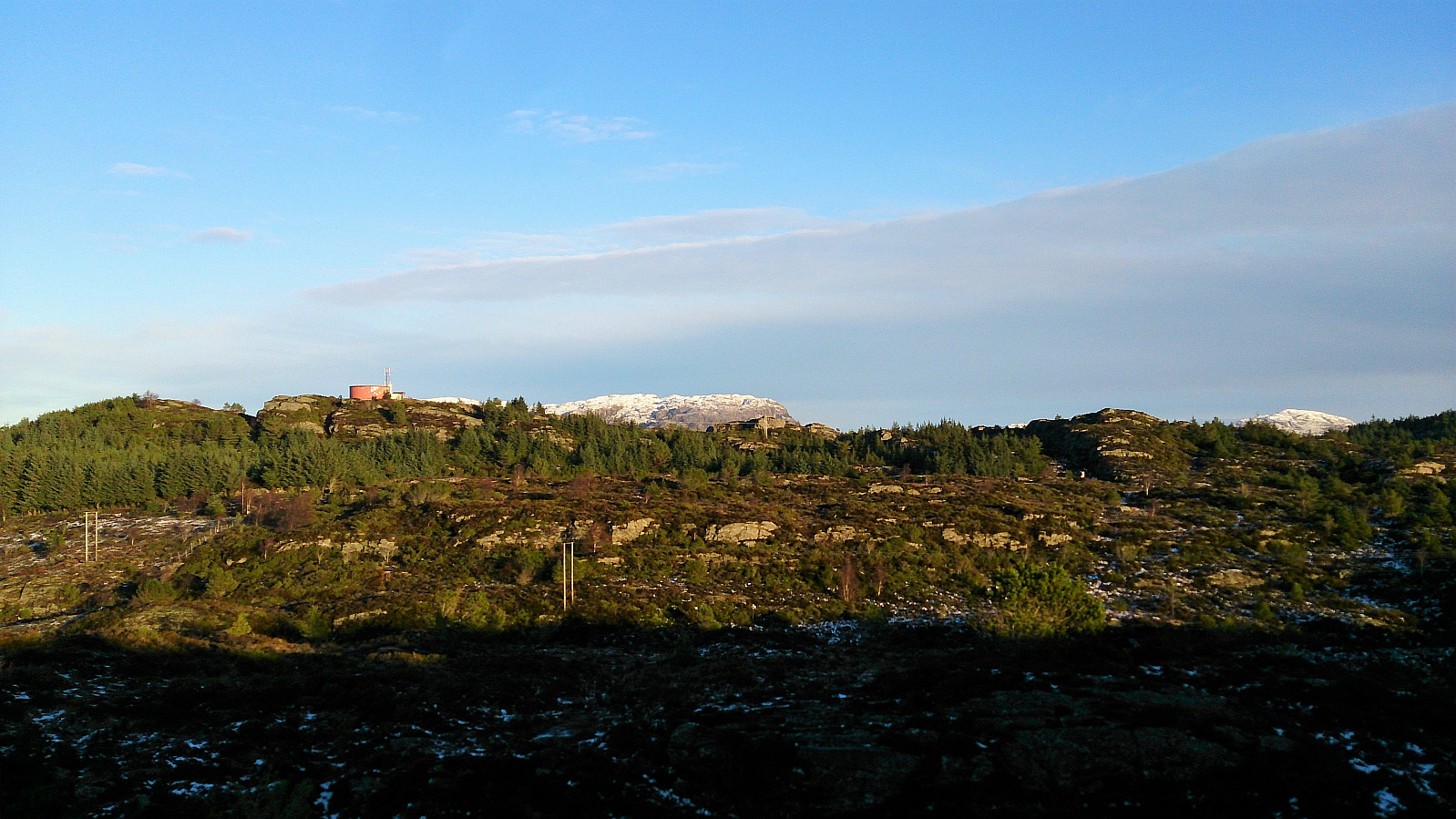
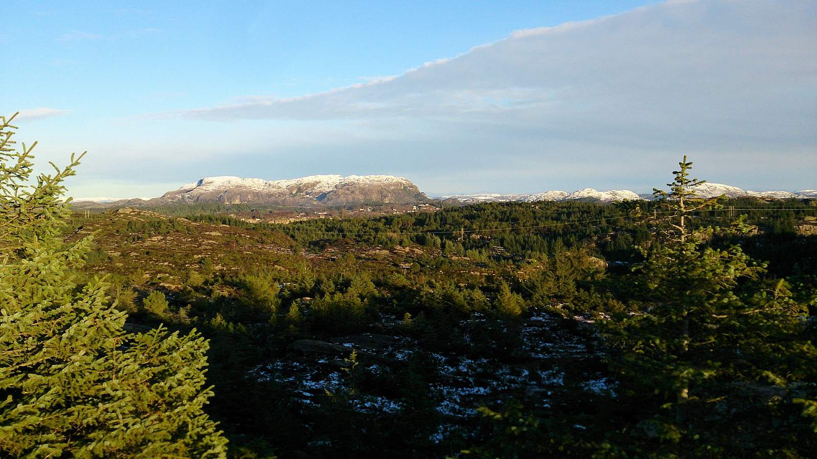
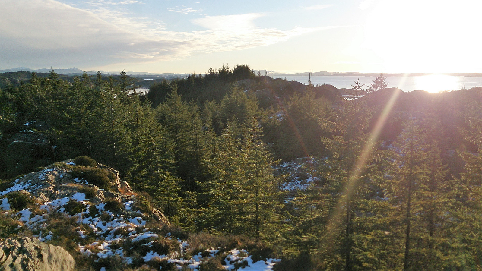
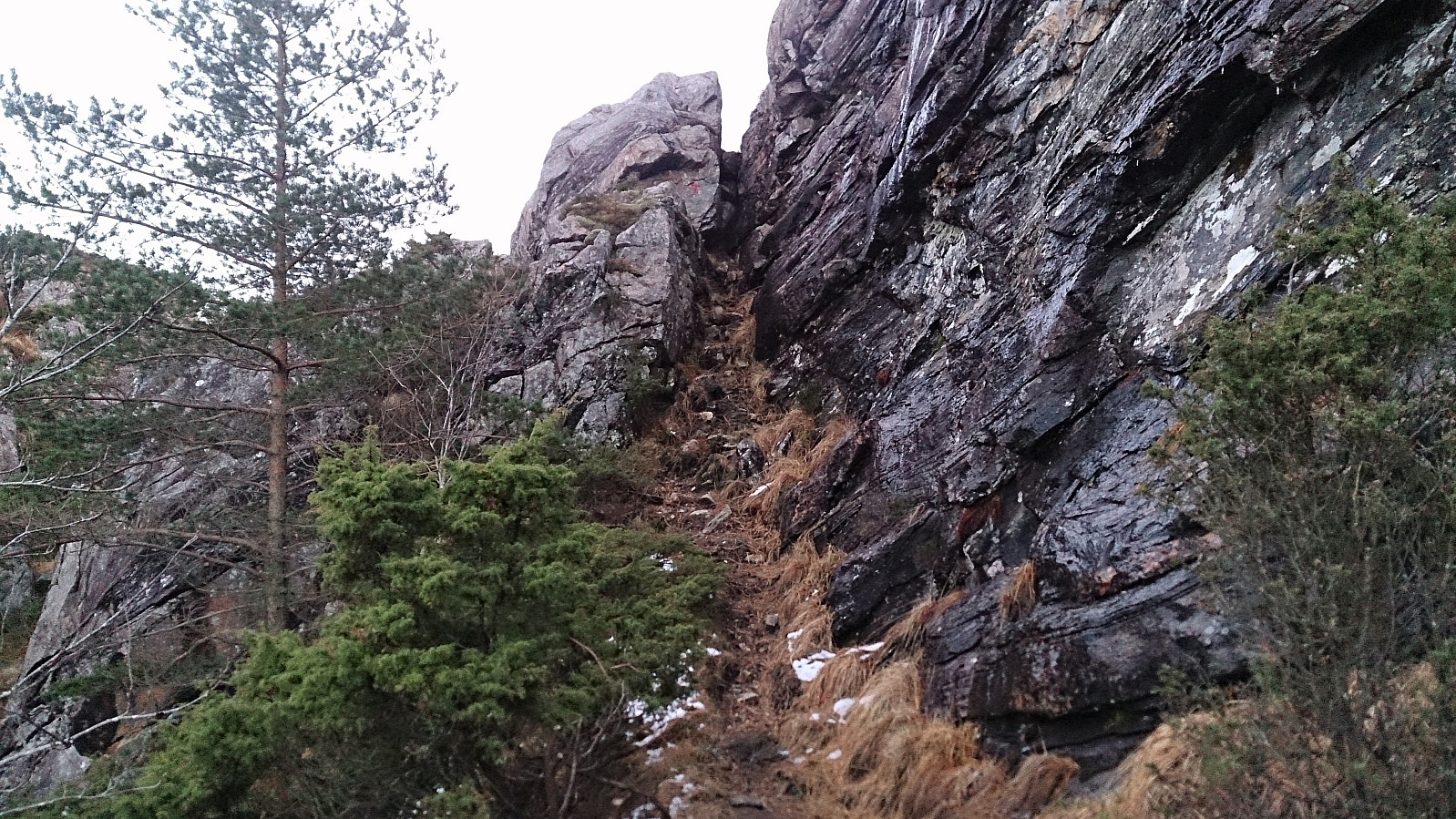
However, I knew that I had to leave the marked trail to get to the summit of Oksneskletten, but this was easier said than done, as the terrain mainly consisted of trees with thick branches blocking the way or slippery/icy areas with drops that could not always be easily traversed. Getting to the summit of Kanekletten was however not too difficult, and provided nice views, particularly towards a snow-covered Eldsfjellet.
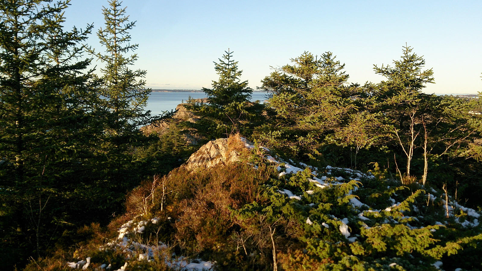
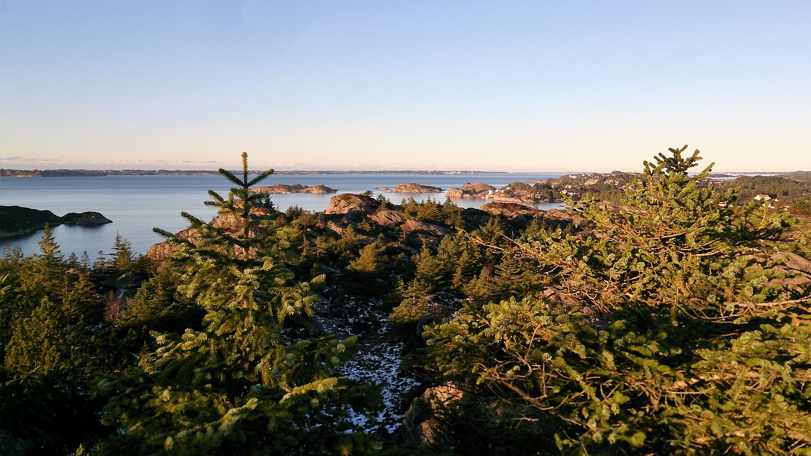
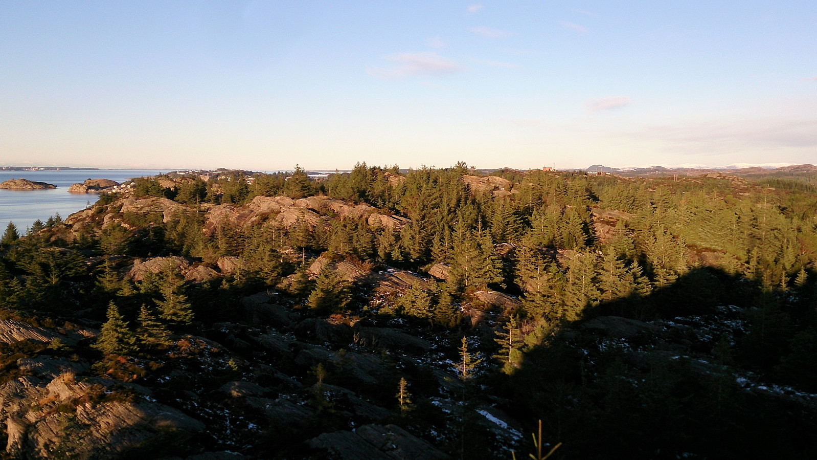
Moving from Hanekletten to Oksneskletten was a bit more challenging, and the path I ended up with required a bit of light climbing. The best views from Oksneskletten were obtained from the slightly lower northwestern peak. So be sure to include a visit to this location as well and not just be satisfied with having reached the highest point.
Reconnecting with the marked trail turned out not to be straightforward, even though the distance was just about 200 meters, as the terrain pretty much decided in which directions I could and could not go. And again a bit of very light climbing was required.
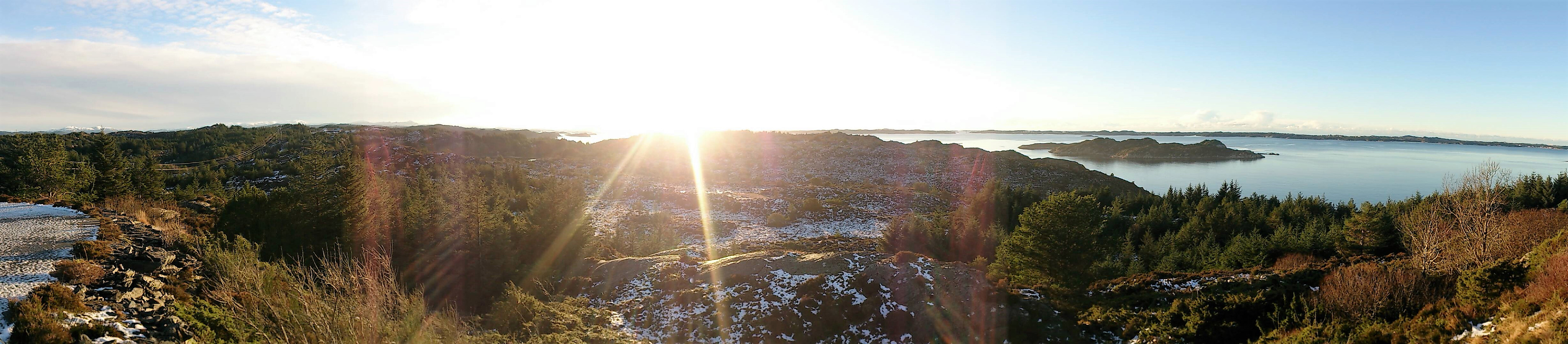
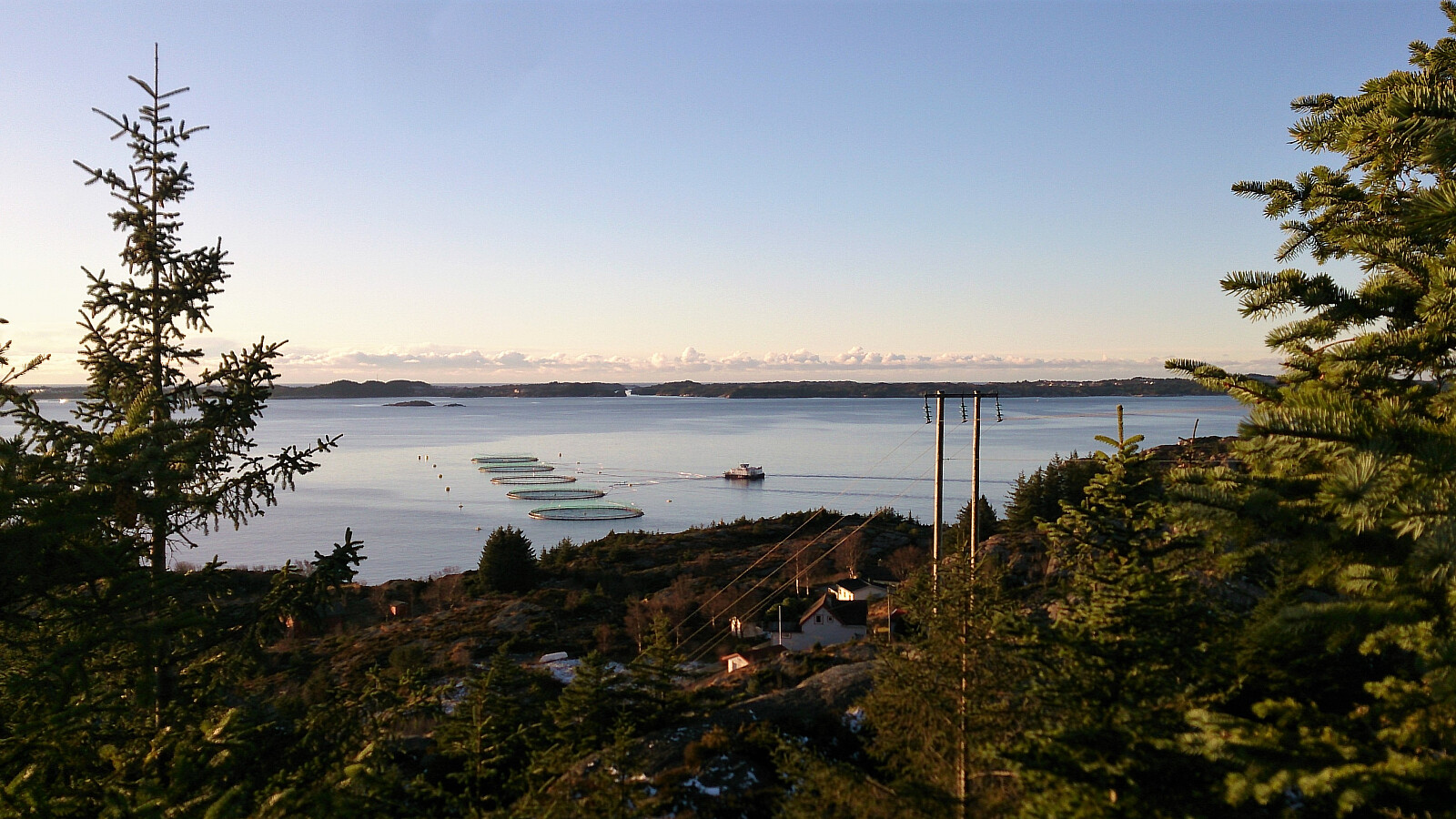
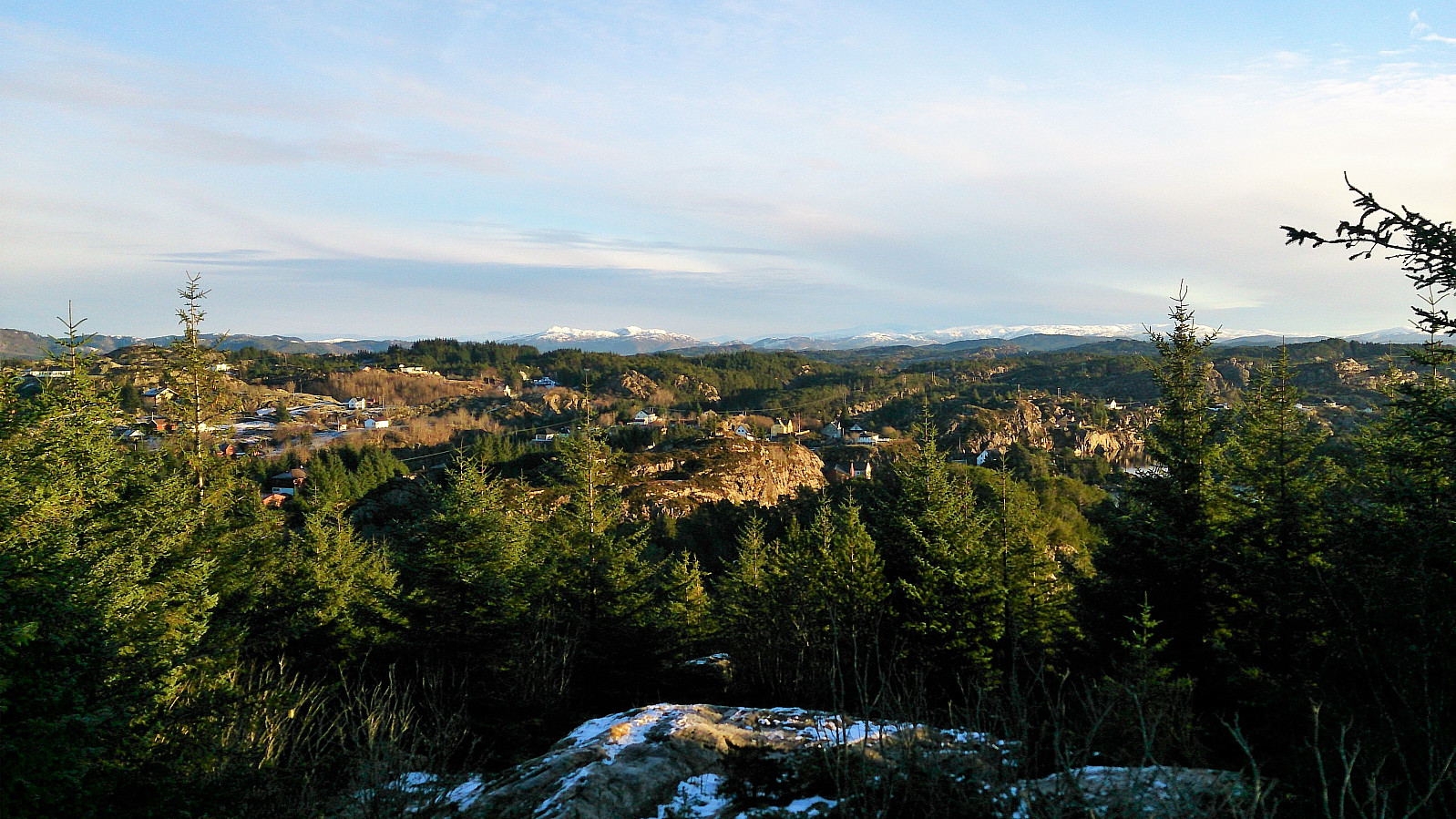
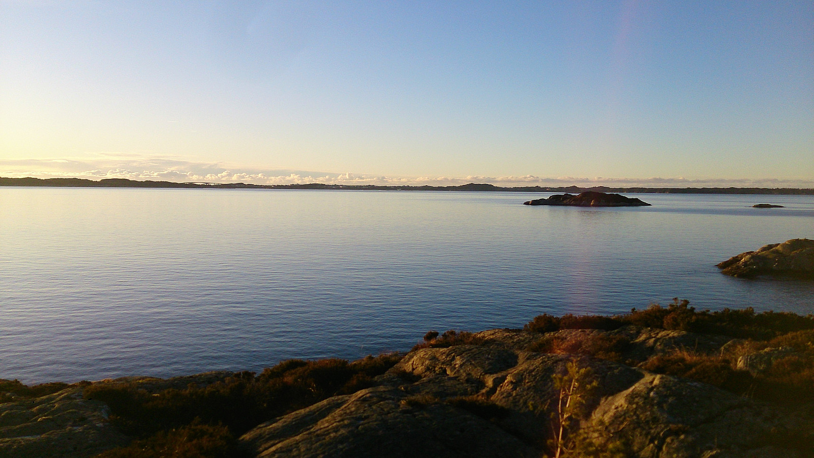
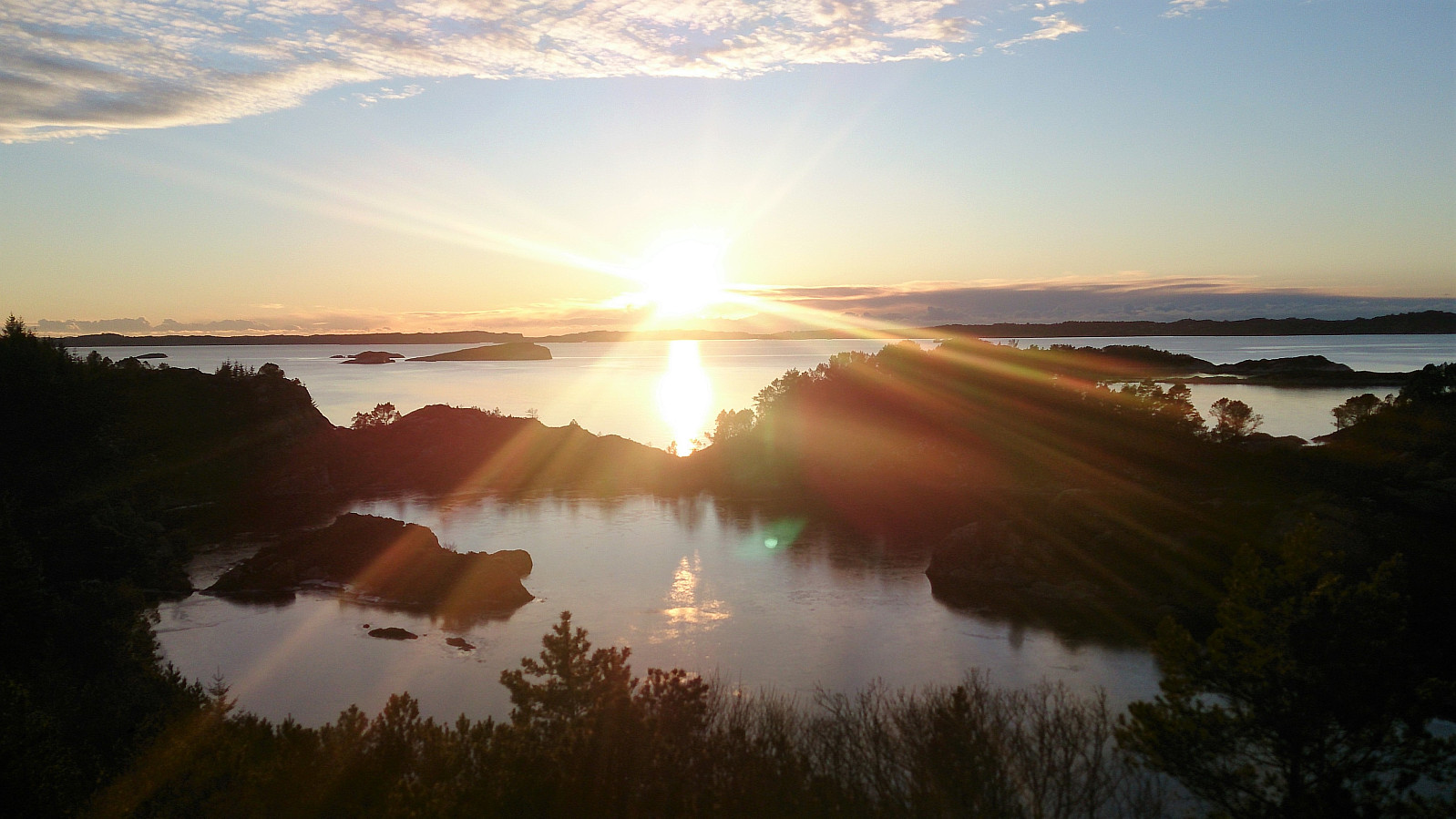
Upon reaching the road, I continued south along the Askøy på langs route all the way to Vågsbotnen, from where I took the bus back to Bergen. This was, as hoped, overall much more enjoyable than the visits to both Kanekletten and Oksneskletten, with the stretch south of Stokkevika being the highlight on a sunny and windless day.
To conclude, even though both Kanekletten and Oksneskletten provided nice views, I'm pretty sure I will not go back due to the difficult terrain. The Askøy på langs route can however be recommended.
See ut.no/tur/2.11026 for a description (with GPS track) of the whole Askøy på langs route.


| Startzeitpunkt | 28.12.2017 12:13 (UTC+01:00) |
| Endzeitpunkt | 28.12.2017 15:36 (UTC+01:00) |
| Gesamtzeit | 3h 22min |
| Zeit in Bewegung | 3h 12min |
| Pausenzeit | 0h 10min |
| Gesamtschnitt | 2,6km/h |
| Bewegungsschnitt | 2,8km/h |
| Entfernung | 8,9km |
| Höhenmeter | 359m |


Benutzerkommentare