
Borgafjellet Roundtrip (10.12.2017)

Skrevet av hbar (Harald Barsnes)

| Startsted | Ulvenskiftet (43moh) |
|---|---|
| Sluttsted | Søfteland (43moh) |
| Turtype | Fjelltur |
| Turlengde | 3t 50min |
| Distanse | 13,7km |
| Høydemeter | 565m |
| GPS |
|
| Bestigninger | Borgafjellet (353moh) | 10.12.2017 |
|---|---|---|
| Andre besøkte PBE'er | Borgafjellet p-lomme (80moh) | 10.12.2017 |
| Knutabruo (37moh) | 10.12.2017 | |
| Tøsdalen parkering (60moh) | 10.12.2017 |
Borgafjellet Roundtrip
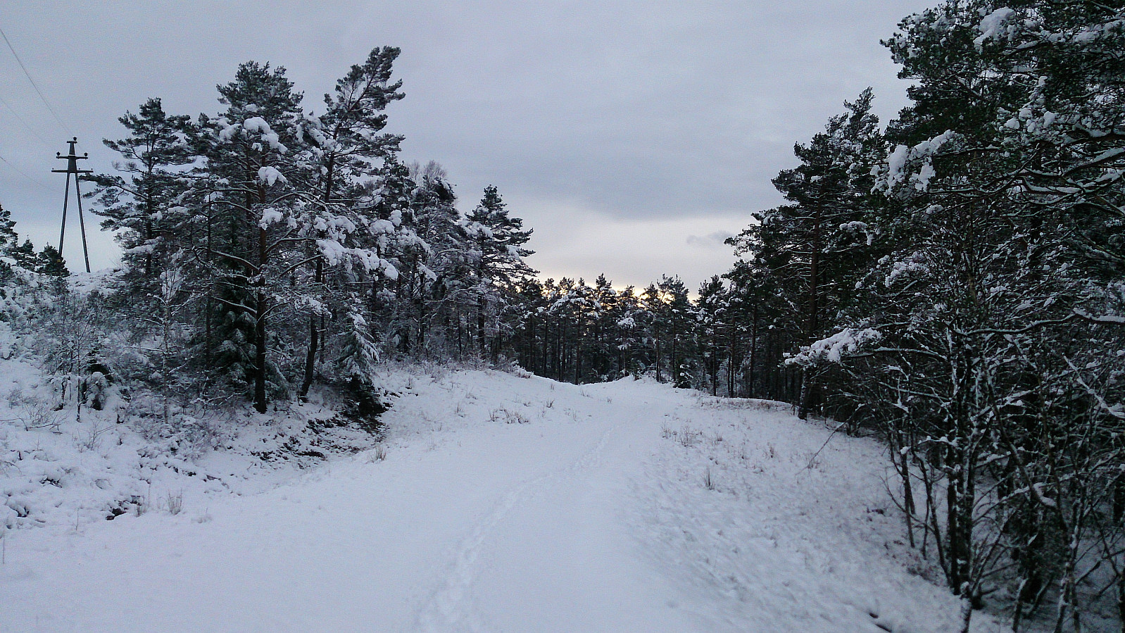
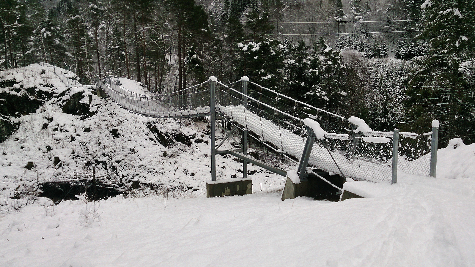
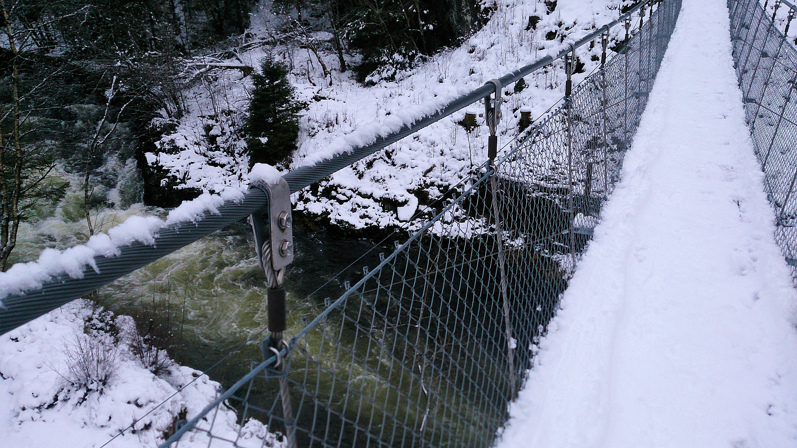
Started by taking the bus to Ulvenskiftet and walking up to Tøsdal from where I followed the relatively new gravel road towards Nordmarka/Hjelle, however today the gravel road could not be seen as it was covered by 10-20 centimeters of snow. I made a quick stop at very nice new suspension bridge called Knutabruo, which I of course had to cross, even though my route did not go in that direction. :)
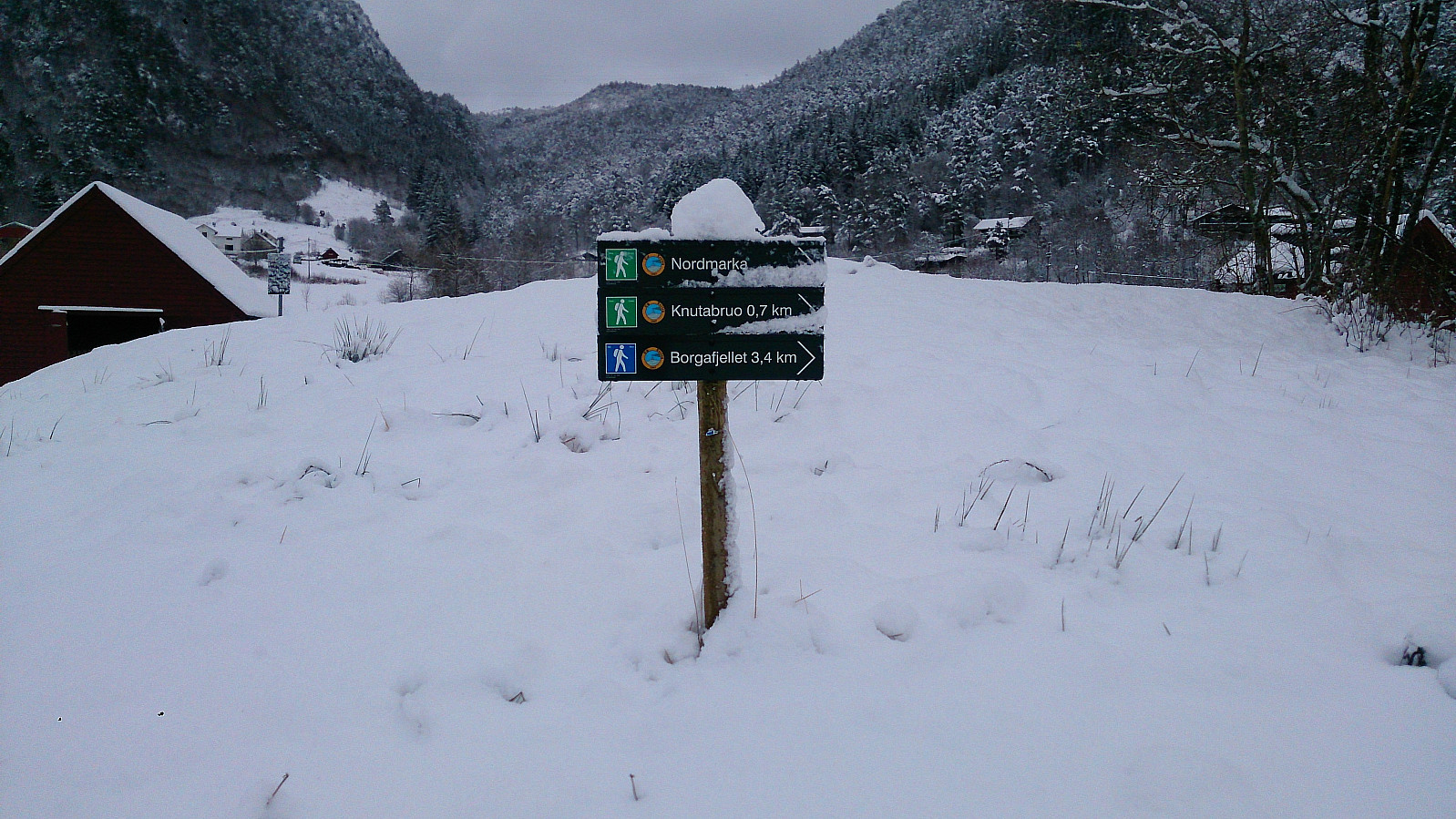
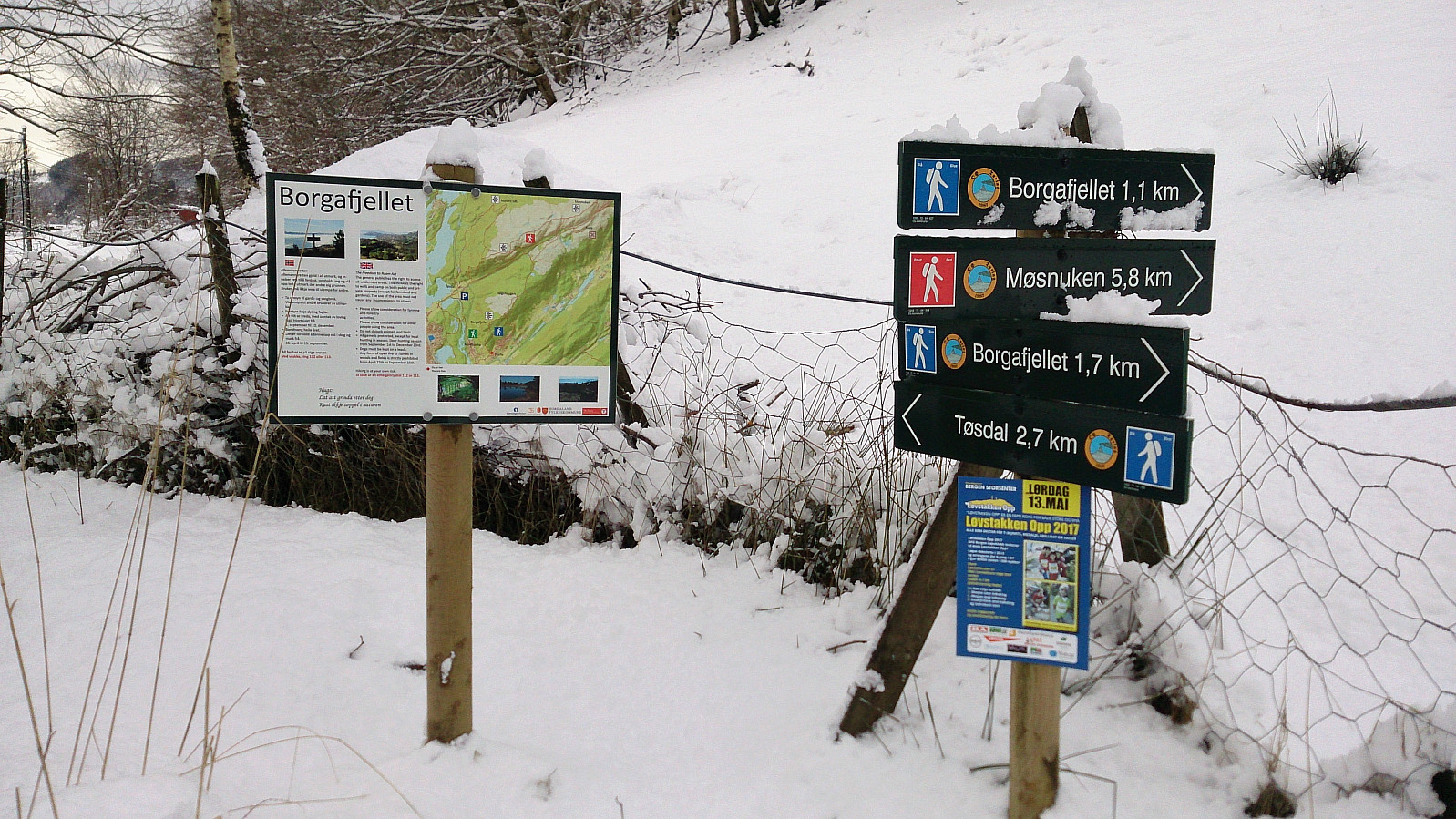
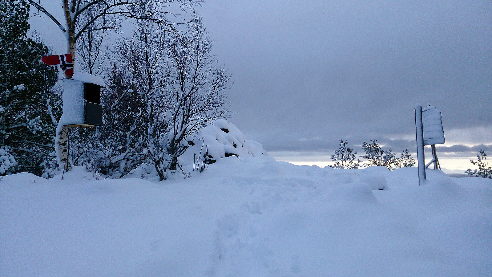
After reaching Hjelle, the trailhead towards Borgafjellet was easily located. Actually, the route to Borgafjellet was marked with signs all the way from Tøsdal. The trail itself was however impossible to see due to all the snow. But as hoped, I was not the only one heading to Borgafjellet this morning, so thankfully there were several of sets of footprints I could follow up the relatively steep incline.
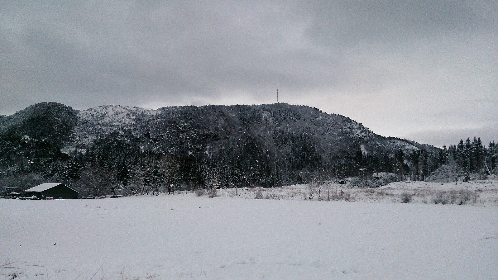
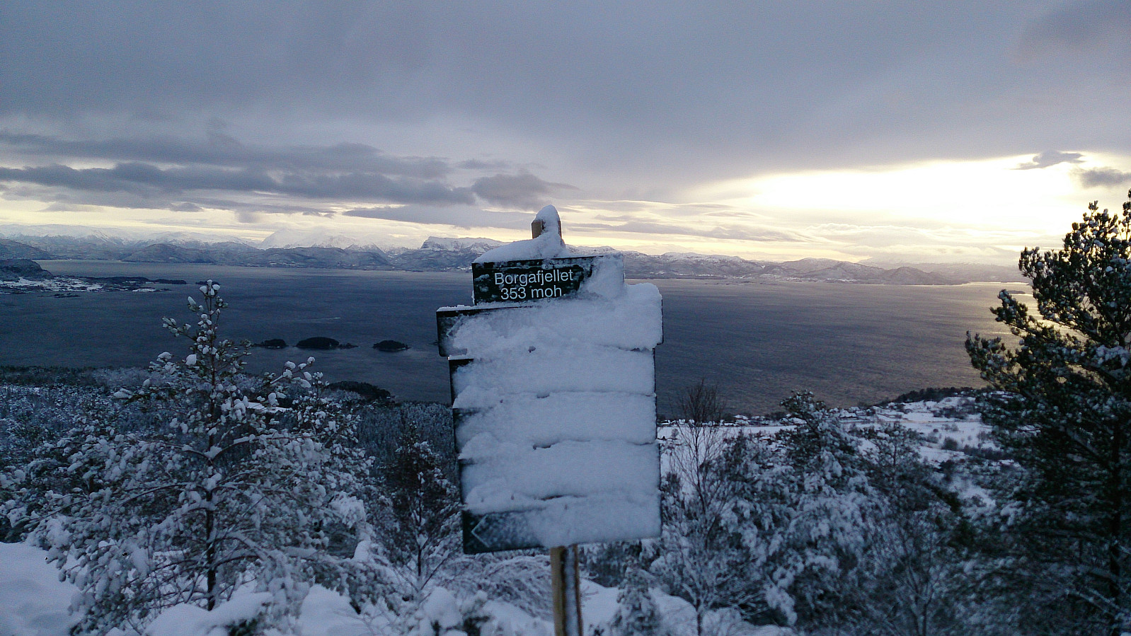
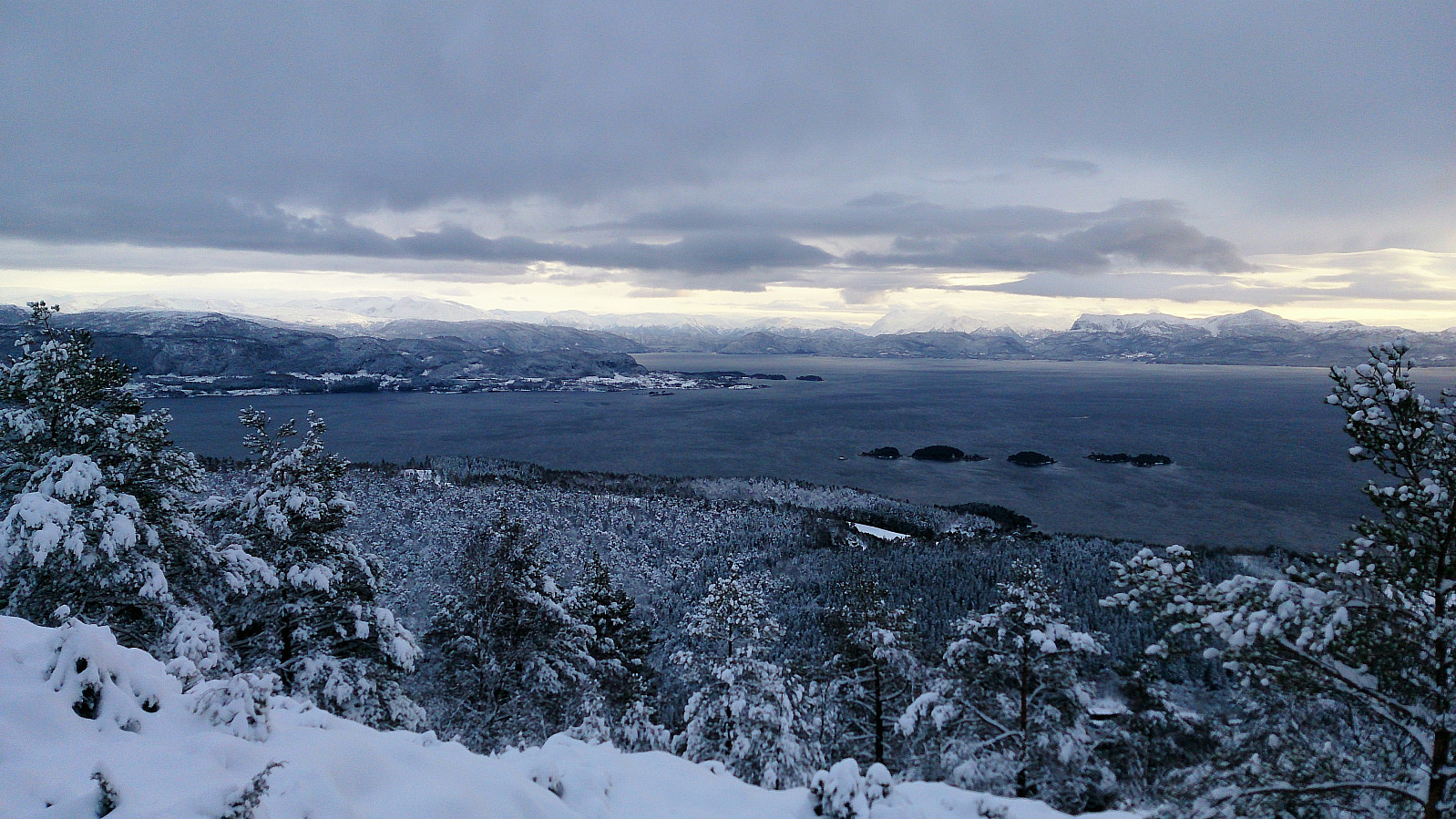
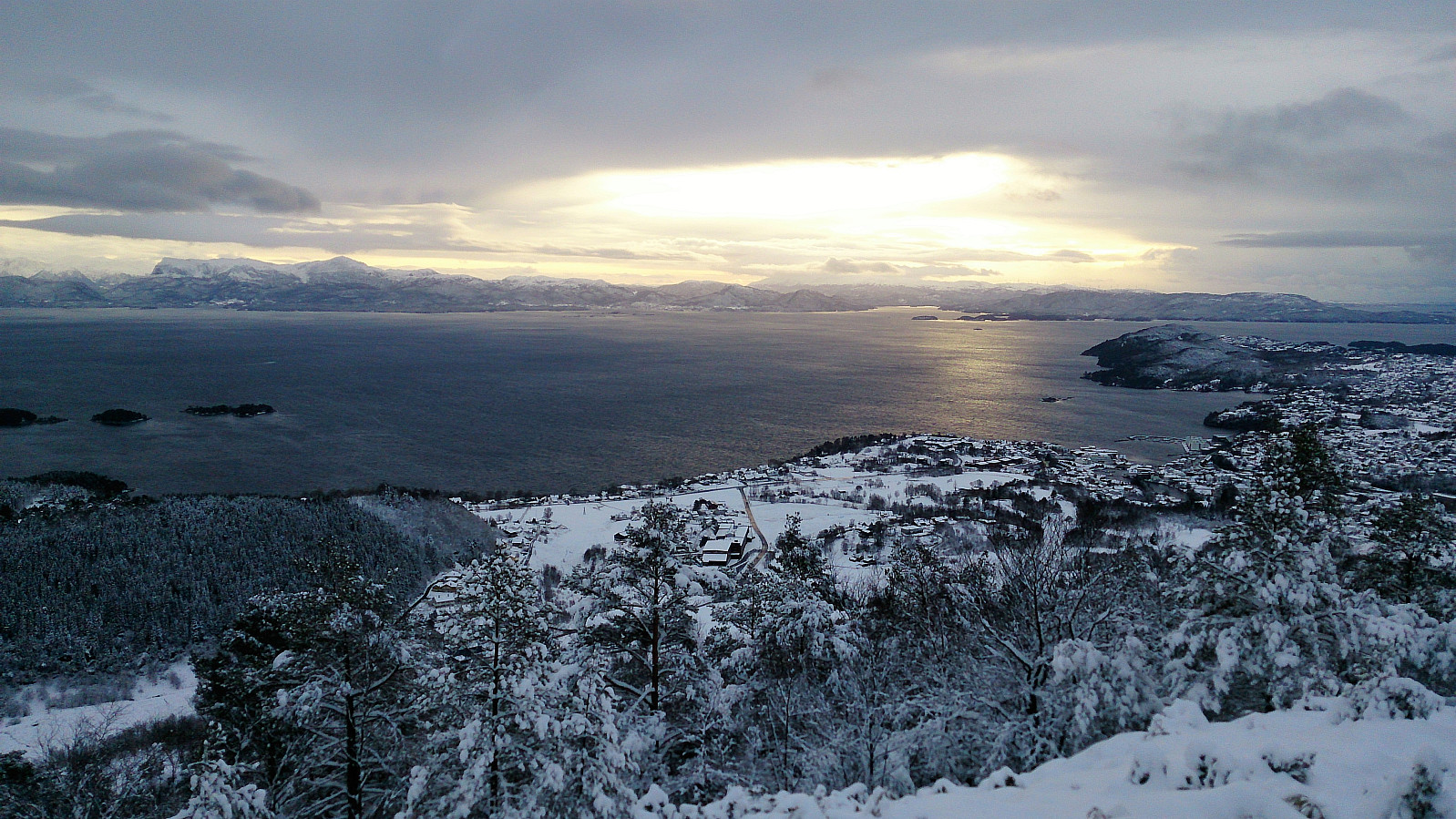
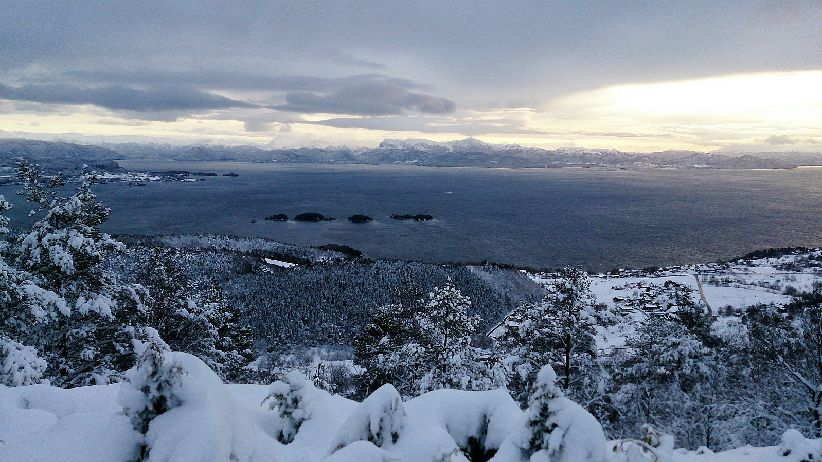
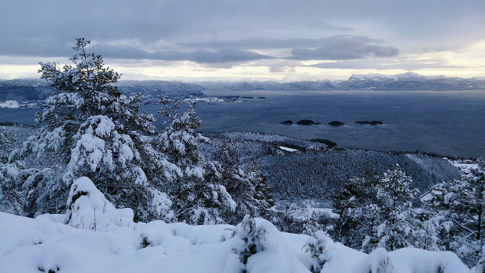
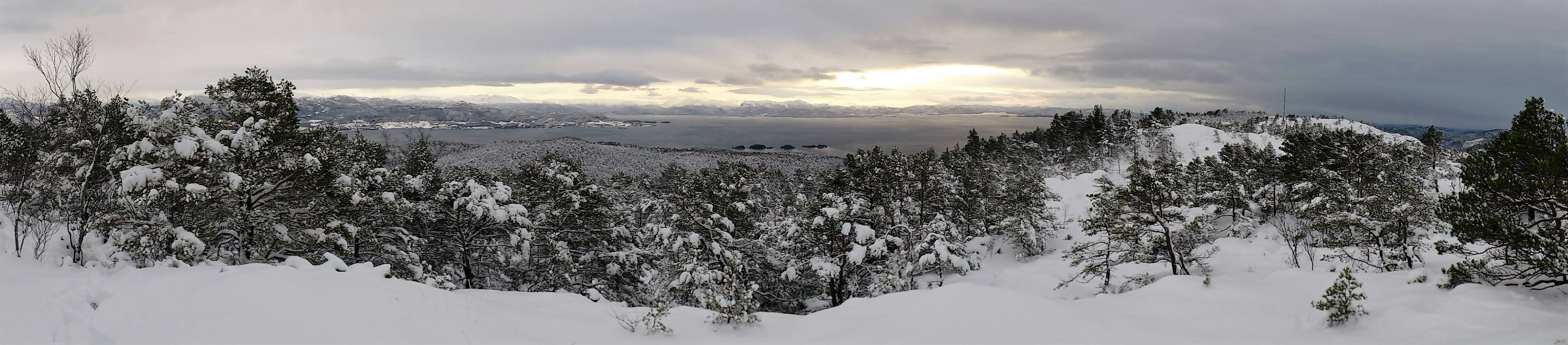
The trail (or I should rather say the footprints) was easy to follow, although the snow made the progress quite slippery. But after not too long I arrived at the summit for the excellent views across Fusafjorden and Bjørnafjorden, and beyond. Highly recommended!
My plan was now to continue northeast along the trail, in the end connecting with the main trail to/from Møsnuken, which I would then follow back down to Tøsdal. But with the current conditions my plan very much depended on there being more footprints to follow after reaching the summit. And again, I was lucky. There was one set of footprints that continued across the summit, seemingly in the right direction.
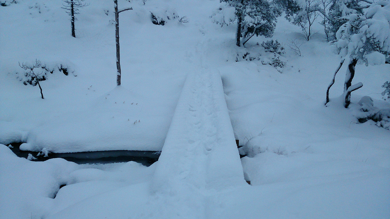
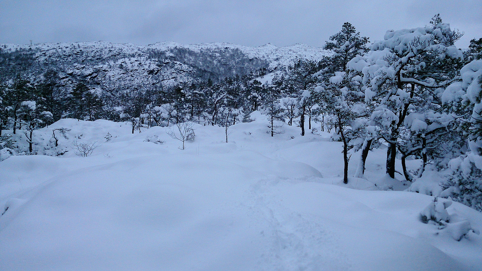
I therefore took the chance and started following these footprints, making sure to check the map to see that I was moving in the right direction. Following the footprints soon took me across several small wooden bridges, thus increasing my confidence that this unknown hiker knew where he/she was going. Which was very welcome, as there were no signs of the trail besides the mentioned bridges.
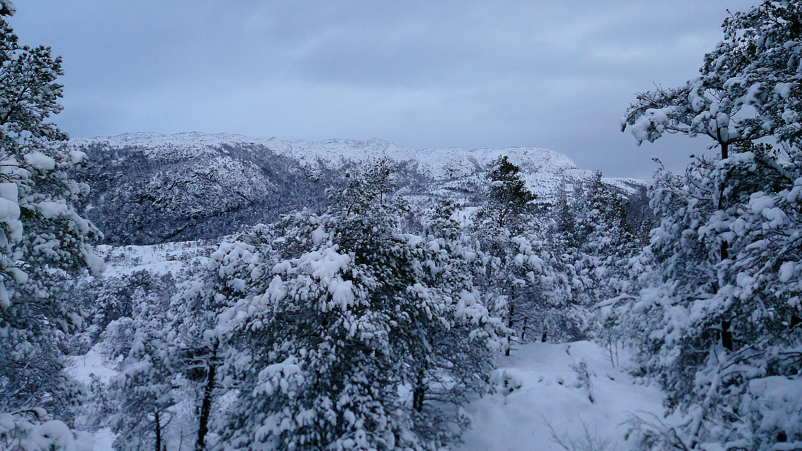
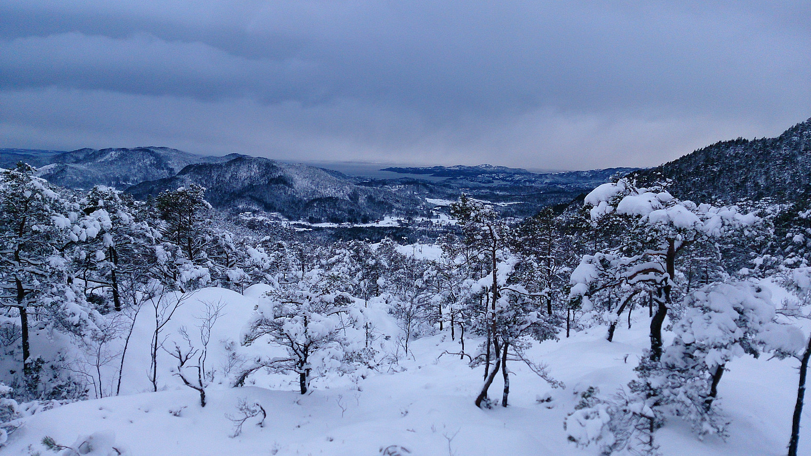
I crossed both Høgehaugen and Snøkkekampen before turning north down Gryteskaret and finally connecting with the main trail to/from Møsnuken along Tøsdalselva. Only one set of footprints here as well, and no footprints heading towards Møsnuken.
The hike was concluded by following the trail down to Tøsdal and the road back to Ulvenskiftet. There I noticed that I had almost half an hour to the next bus, so I continued north along the road, almost reaching Søfteland before taking the bus back to Bergen.
In summary, a very nice hike with excellent views that can be highly recommended. Although it would perhaps have been a lot easier, though perhaps not as beautiful, without all the snow. :)
| Starttidspunkt | 10.12.2017 11:31 (UTC+01:00) |
| Sluttidspunkt | 10.12.2017 15:22 (UTC+01:00) |
| Totaltid | 3t 50min |
| Bevegelsestid | 3t 45min |
| Pausetid | 0t 5min |
| Snittfart totalt | 3,6km/t |
| Snittfart bevegelsestid | 3,7km/t |
| Distanse | 13,7km |
| Høydemeter | 564m |


Kommentarer