
Horsås to Hauge: Burkelandsfjellet and Smålandsfjellet (05.11.2017)

Written by hbar (Harald Barsnes)

| Start point | Valestrand kai (1m) |
|---|---|
| Endpoint | Valestrand kai (1m) |
| Characteristic | Hillwalk |
| Duration | 3h 30min |
| Distance | 13.8km |
| Vertical meters | 589m |
| GPS |
|
| Ascents | Burkelandsfjellet (365m) | 05.11.2017 |
|---|---|---|
| Hallandskletten (245m) | 05.11.2017 | |
| Horsåsfjellet (363m) | 05.11.2017 | |
| Perafjellet (215m) | 05.11.2017 | |
| Smålandsfjellet (252m) | 05.11.2017 |
Horsås to Hauge: Burkelandsfjellet and Smålandsfjellet
Burkelandsfjellet and Horsåsfjellet
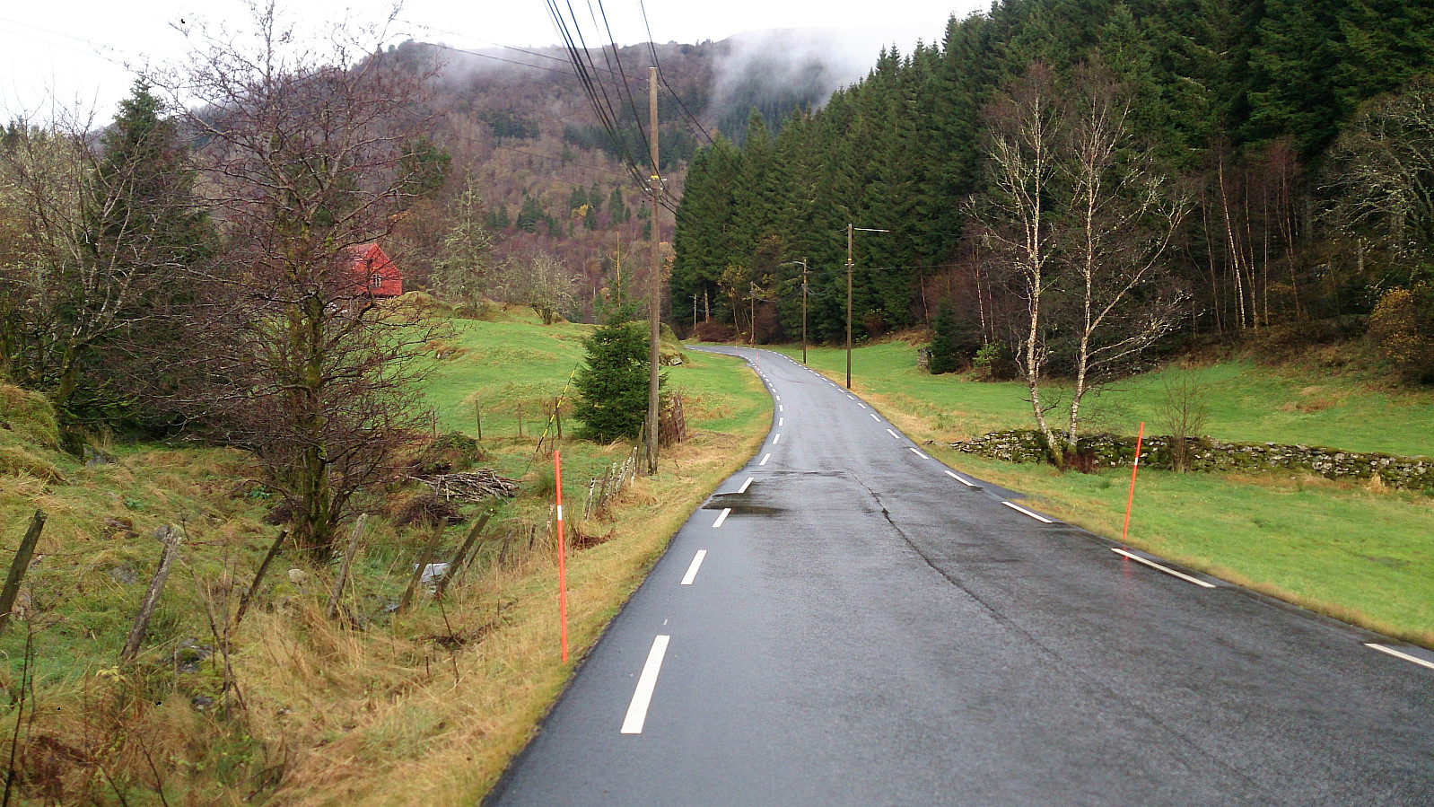
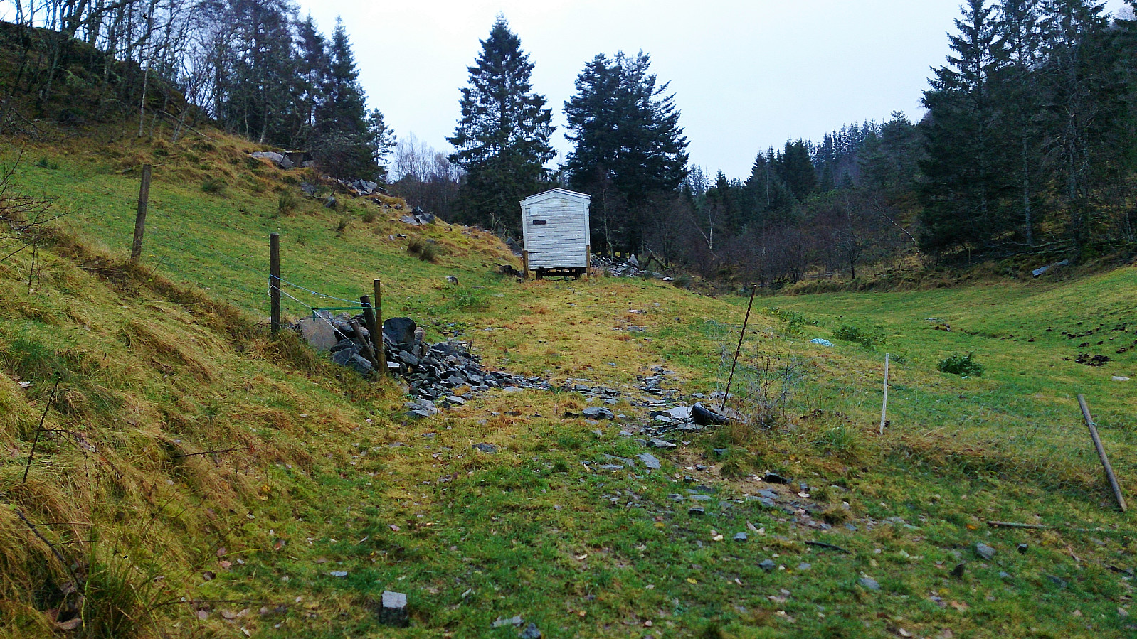
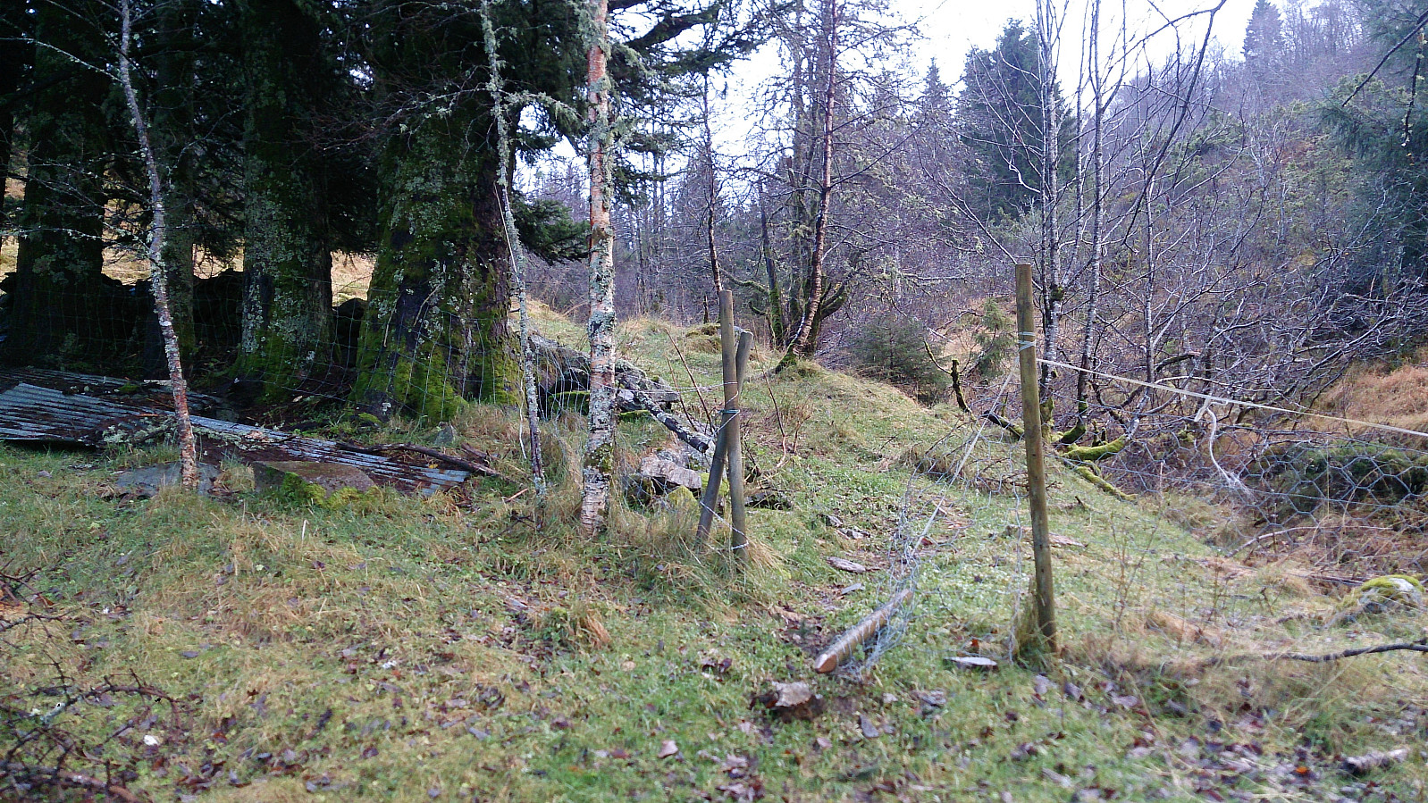
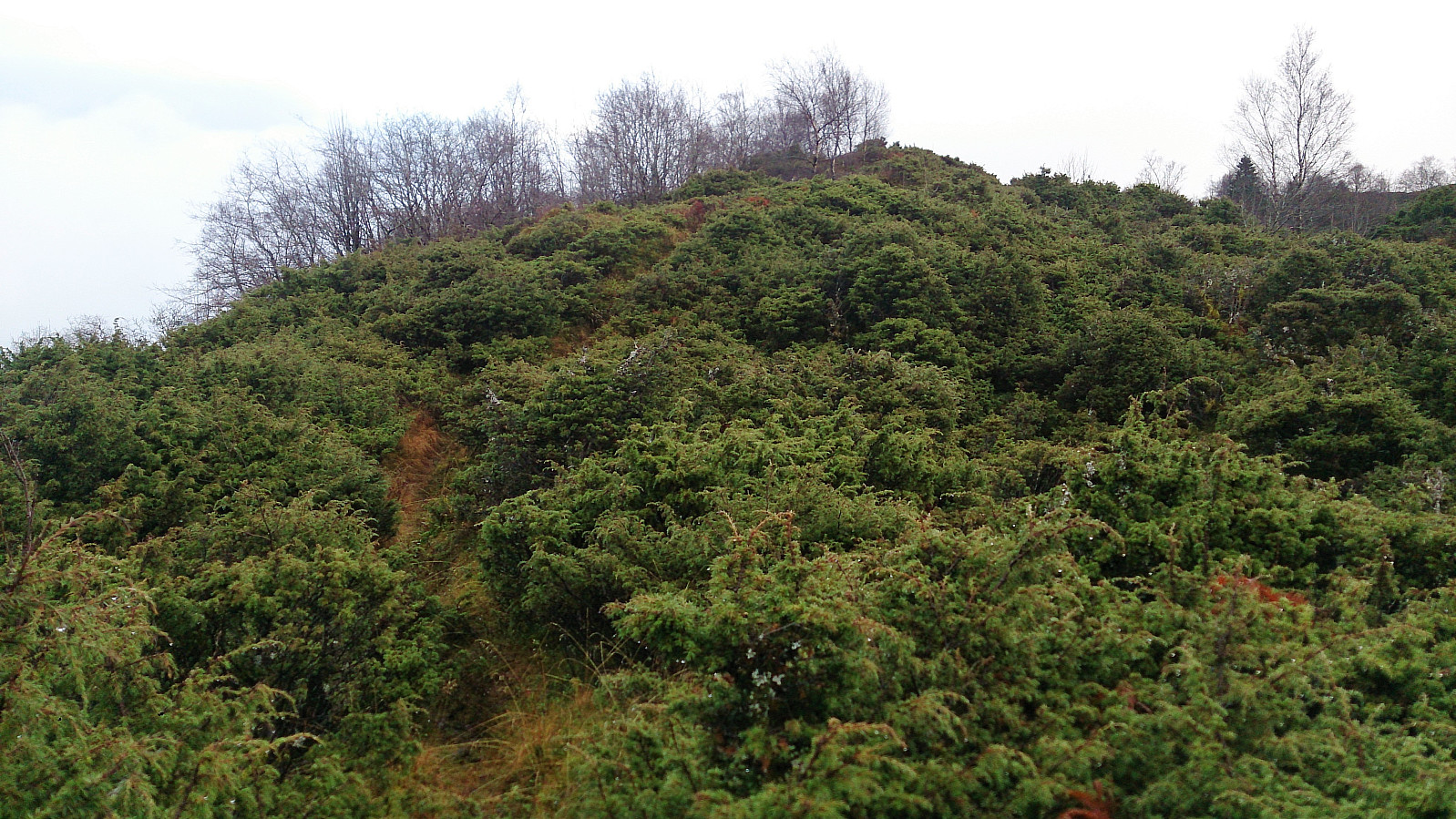
Started by taking the bus and ferry to Valestrand. From Valestrand I walked along the roads up to Horsås to locate the start of the trail towards Burkelandsfjellet. Did not really find any trail at first, but I started in the direction of the trail indicated on the map and after a short while a weak trail did appear.
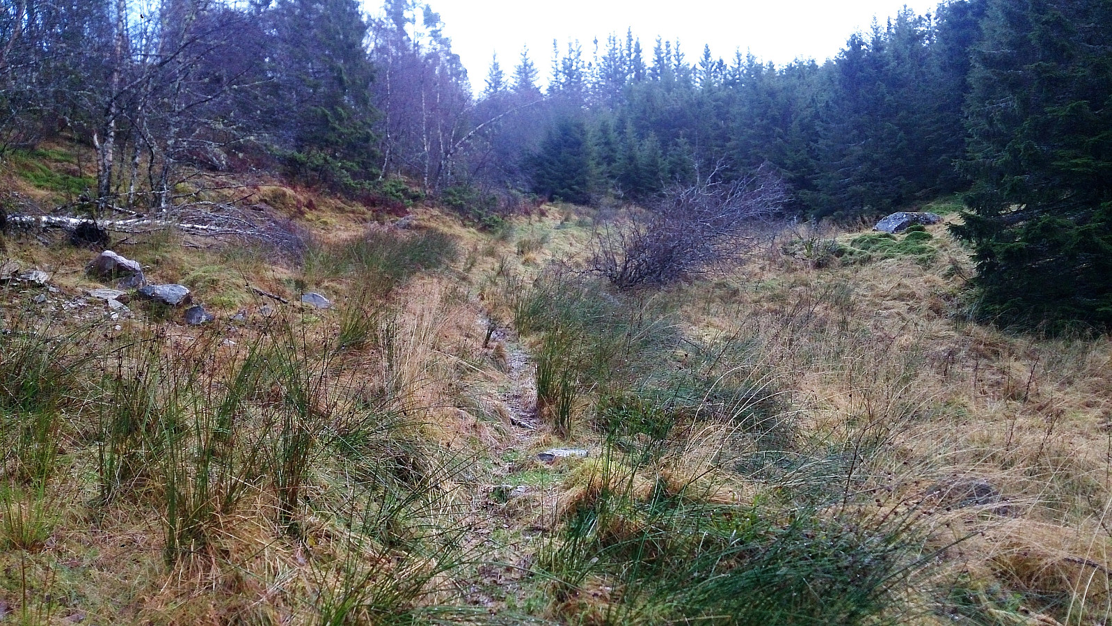
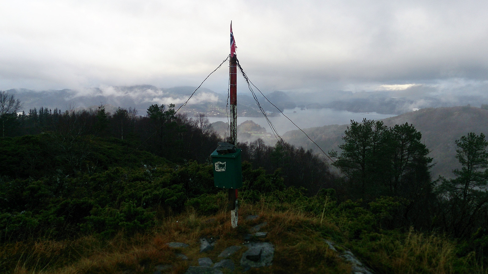
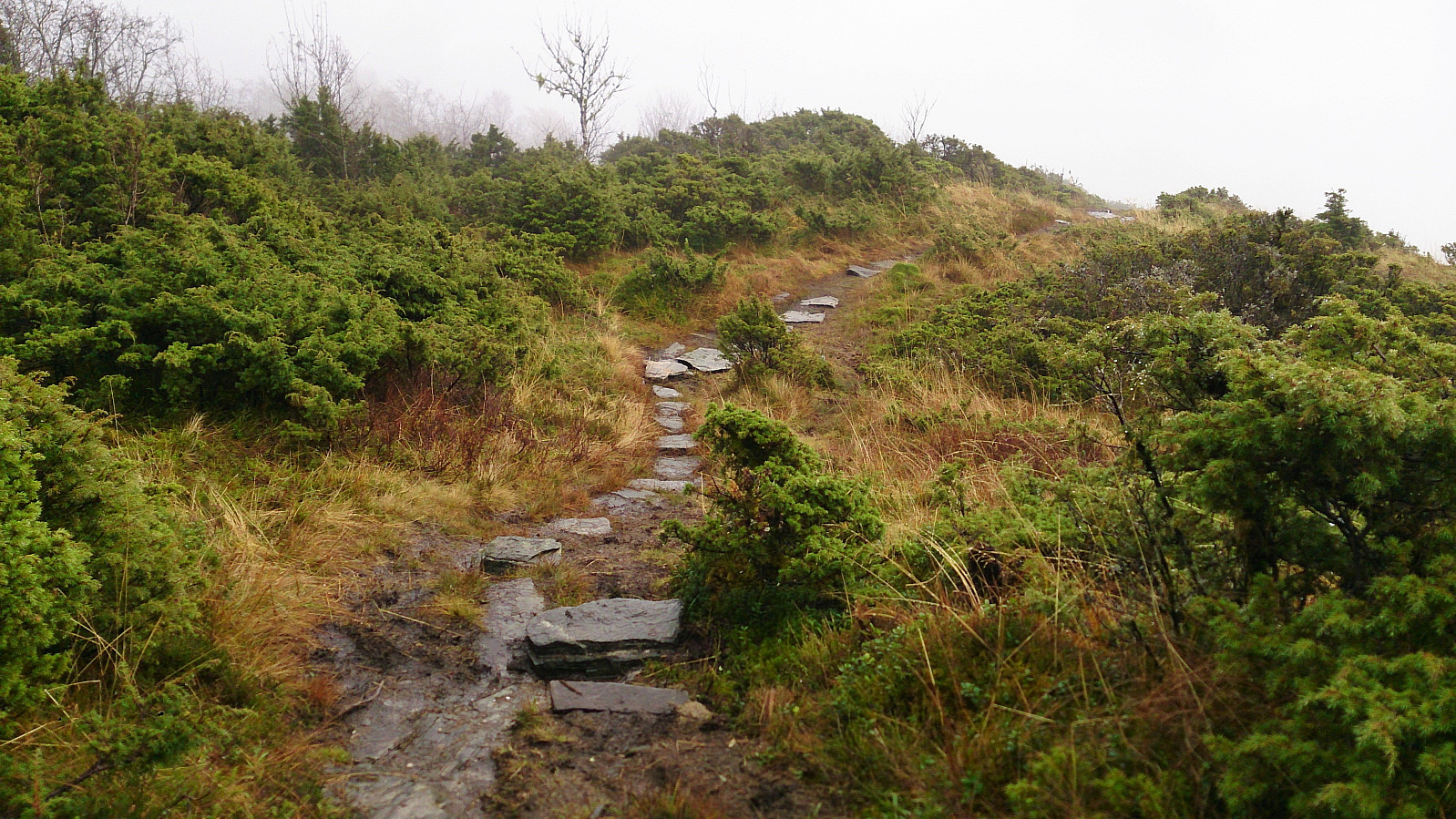
I was still not sure if this was the trail I was looking for until it improved slightly as it reached the first plateau, but even here the trail was quite narrow with low bushes on both sides, making it a rather wet experience. However, having the trail clearly made it a lot easier to progress towards the summit. The summit of Burkelandsfjellet soon appeared in the fog and I made it there without any real difficulties.
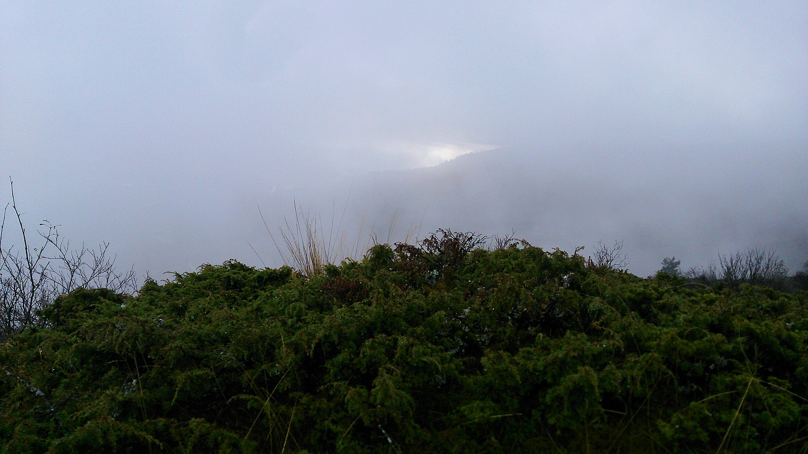
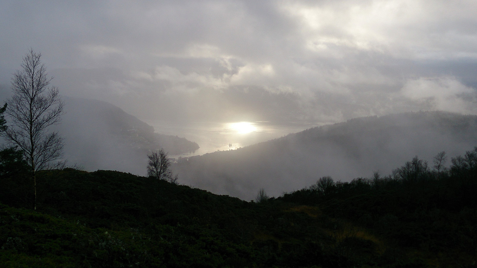
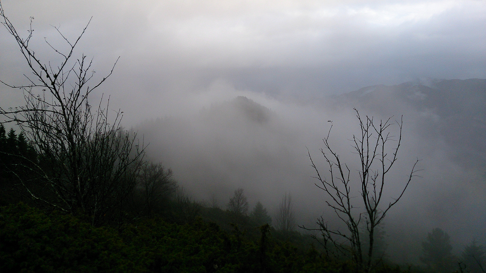
The fog ruined most of the views though, so I decided to take a quick detour west to the summit of Horsåsfjellet, hoping some of the fog would clear before I returned. The trail to Horsåsfjellet was easy to follow, but the summit itself was not marked in any way and the views seemed to be pretty similar as from Burkelandsfjellet. Upon returning to Burkelandsfjellet the fog had cleared just enough to take some slightly better pictures of the view, before continuing southeast along the ridge towards Smålandsskaret.
Smålandsfjellet, Hallandskletten and Perafjellet
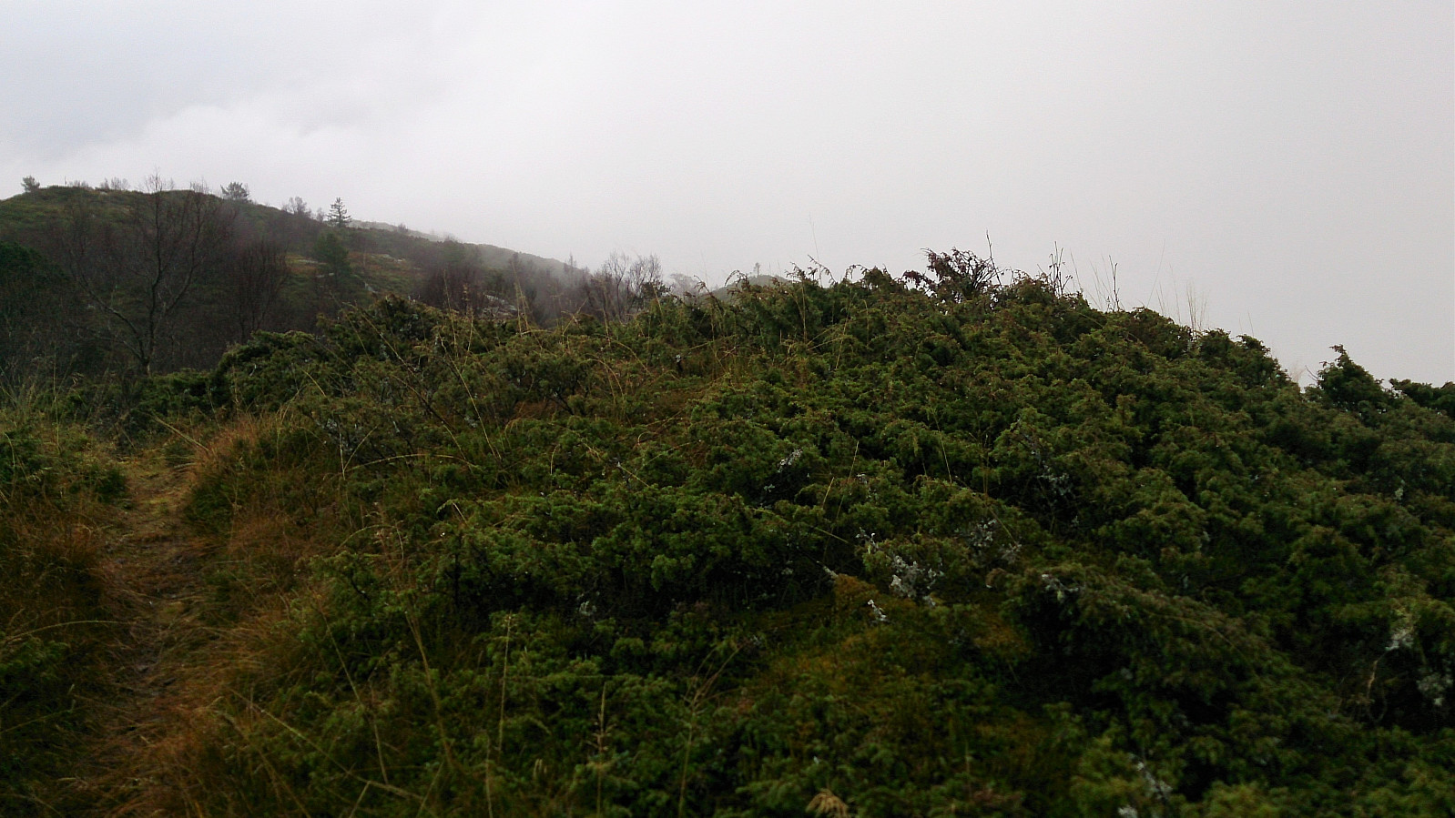
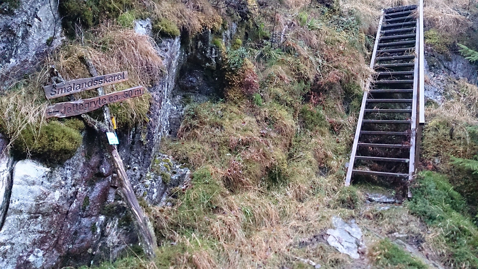
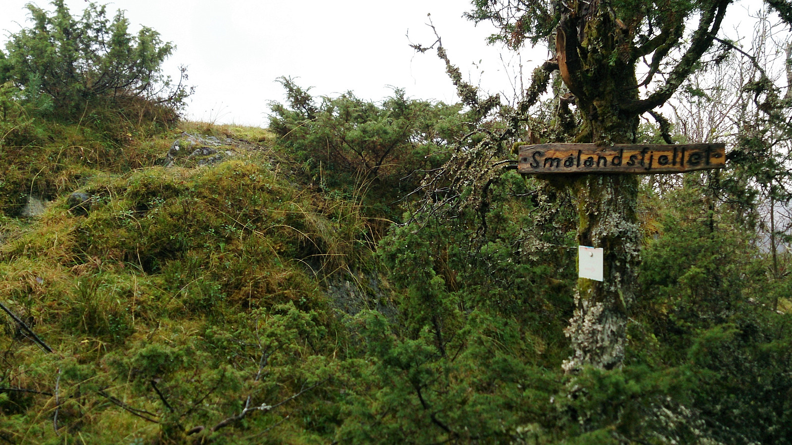
The trail down to Smålandsskaret seemed to be more heavily used than the route I had taken up to Burkelandsfjellet, with lots of rocks to step on to cross the wetter areas. However, on such a wet day as this one, the trail was still full of mud and I had to stay focused in order to avoid sliding or falling. Note that just before reaching Smålandsskaret the trail seemed to take a wrong turn heading east into the woods, but it soon turned southeast again, ending up at the wooden staircase indicating the start of the ascent to Smålandsfjellet.
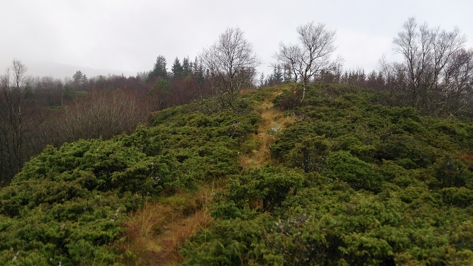
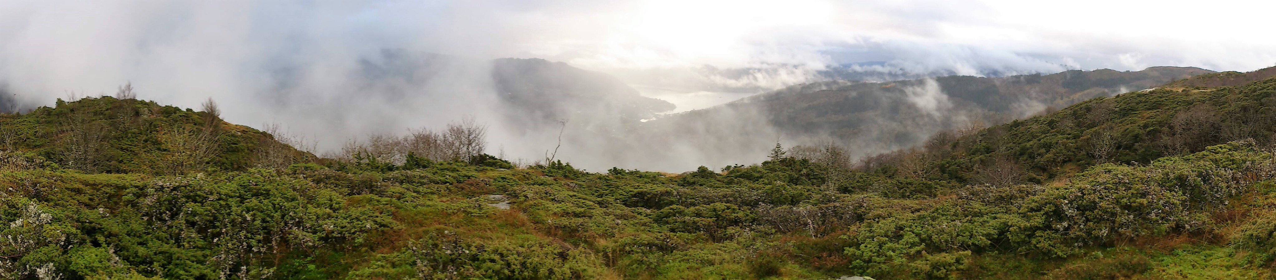
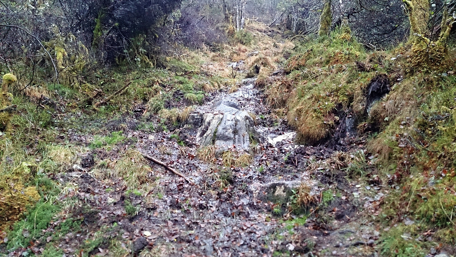
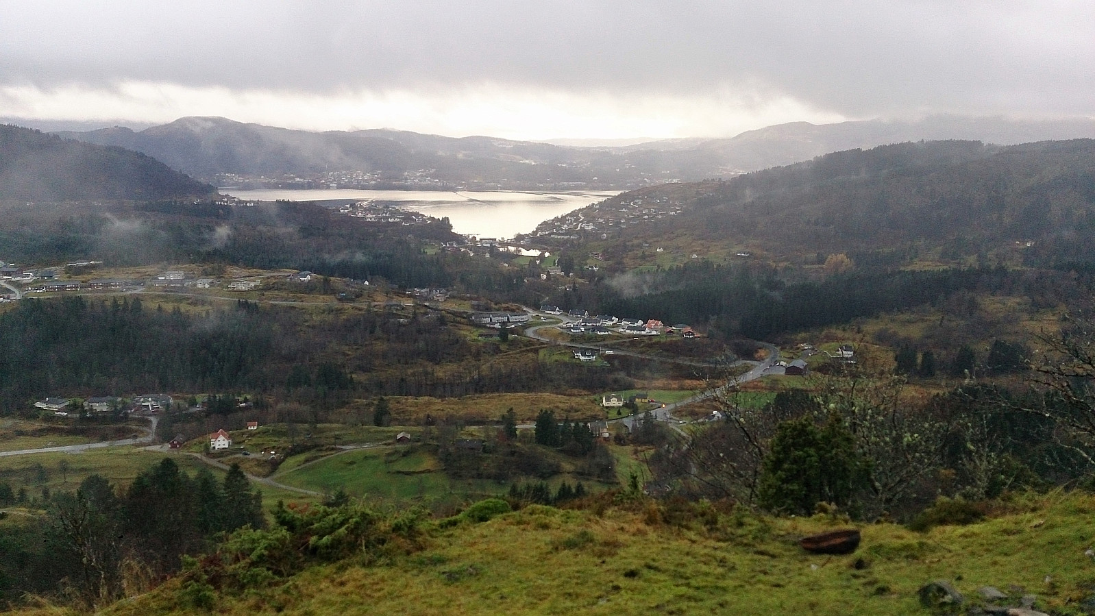
I had assumed that the staircase indicated that the trail would now get better, but actually, the trail after the stairs was perhaps the worst of the day, mainly consisting of lose mud. Hopefully it is better on less wet days. Thankfully the trail improved somewhat upon reaching the summit of Smålandsfjellet, which also provided nice views towards Valestrand.
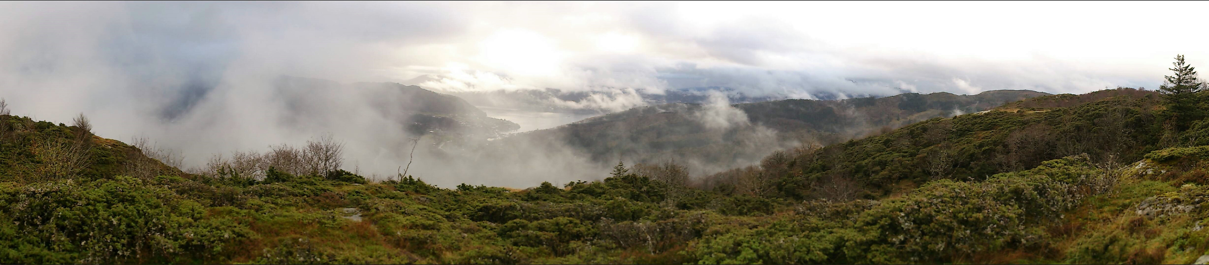
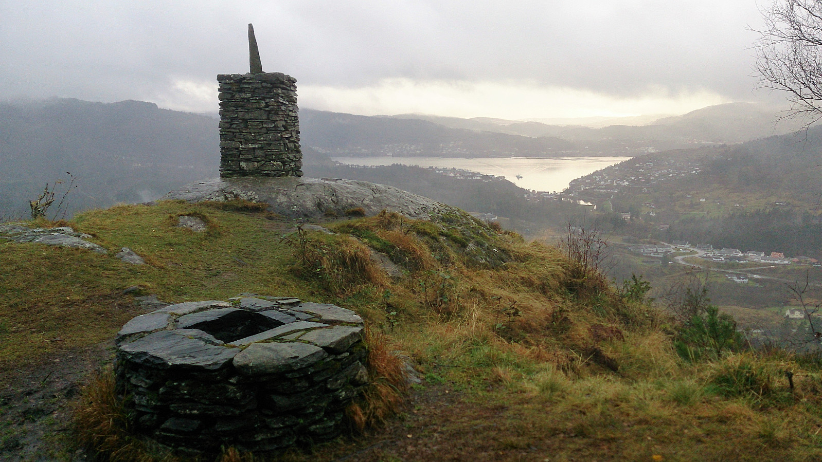
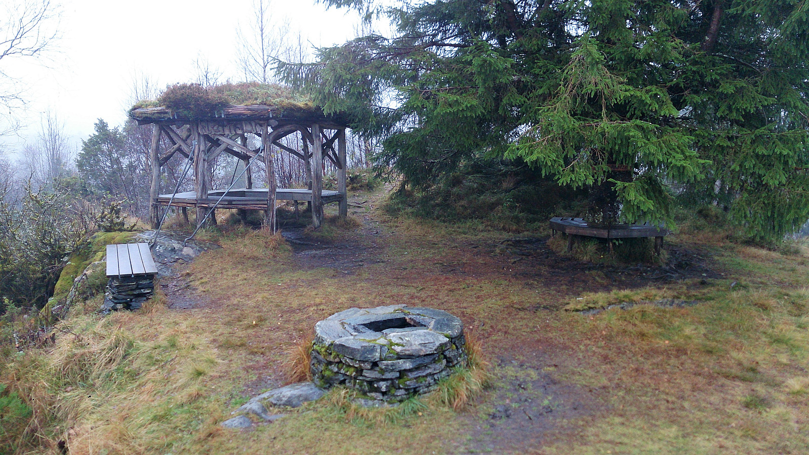
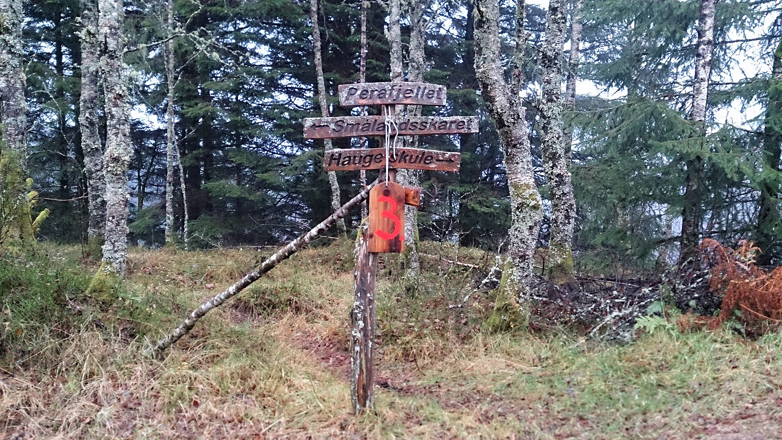
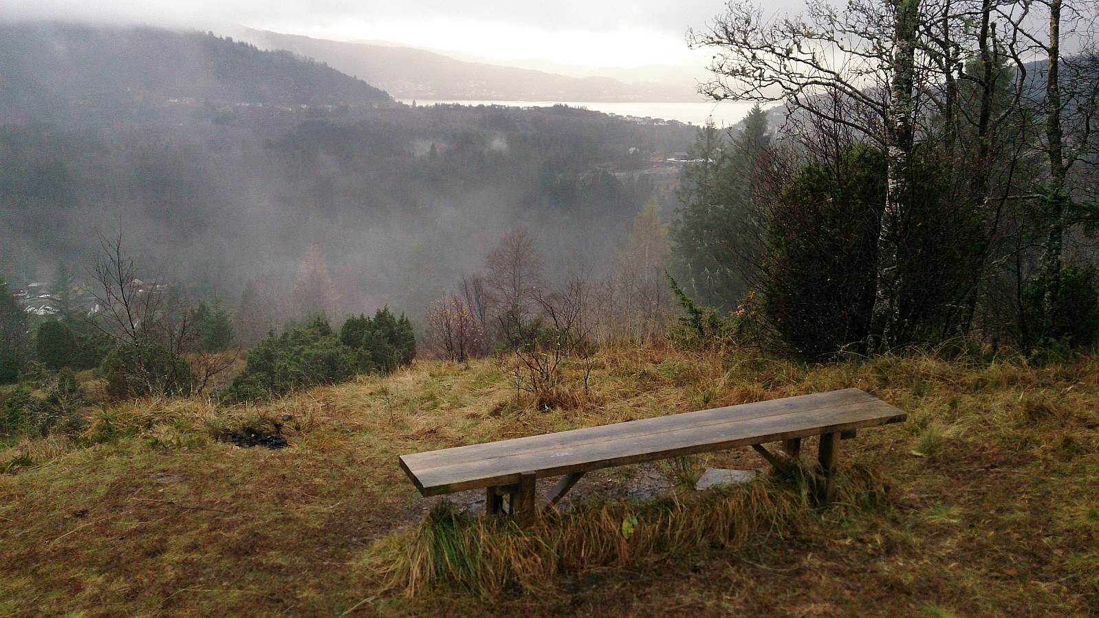
Not long after leaving Smålandsfjellet, I arrived at the next small summit, Hallandskletten, which included both an impressive cairn and a small wooden shelter, again with very nice views towards Valestrand. I continued southeast, passing by various smaller viewpoints with benches, including Perafjellet, before following a trail that took me to Follfotvegen.
The hike was concluded by walking along the roads back to the ferry at Valestrand. Or I should rather say running along the roads, as I very much did not want to spend a wet and cold half hour waiting for the next ferry. So with a bit of running, I made the planned ferry with less than a minute to spare. :)
Conclusion
I'm sure this would have been a much nicer hike in better weather, both with regards to less rain and fog to limit the views, and in terms of less muddy and wet trails. Still quite enjoyable though, but for future visits of Burkelandsfjellet I would probably recommend skipping the trail from Horsås (or perhaps there is a better trail crossing over Horsåsfjellet?) and rather use the trail from Småland in both directions.
| Start date | 05.11.2017 12:12 (UTC+01:00) |
| End date | 05.11.2017 15:42 (UTC+01:00) |
| Total Time | 3h 30min |
| Moving Time | 3h 16min |
| Stopped Time | 0h 13min |
| Overall Average | 4.0km/h |
| Moving Average | 4.2km/h |
| Distance | 13.8km |
| Vertical meters | 589m |


User comments