
Høgelikampen, Vardafjellet and Ulvenfjellet (14.10.2017)

Written by hbar (Harald Barsnes)

| Start point | Ulvenskiftet (43m) |
|---|---|
| Endpoint | Gåssandskiftet (57m) |
| Characteristic | Hillwalk |
| Duration | 5h 24min |
| Distance | 21.0km |
| Vertical meters | 813m |
| GPS |
|
| Ascents | Høgelikampen (266m) | 14.10.2017 |
|---|---|---|
| Ulvenfjellet (316m) | 14.10.2017 | |
| Vardafjellet (305m) | 14.10.2017 | |
| Visits of other PBEs | Nordøst for Vardafjellet (301m) | 14.10.2017 |
| Sør for Høgelikampen (234m) | 14.10.2017 |
Høgelikampen, Vardafjellet and Ulvenfjellet
Høgelikampen
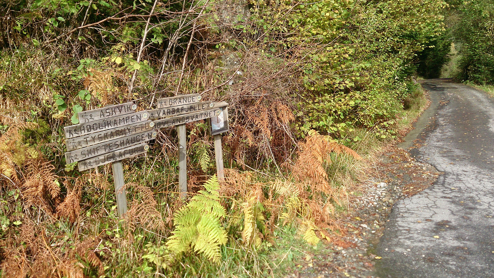
Started by taking the bus to Ulvenskiftet and walking southwest along the roads until reaching Hovland. This was close to 5 km and took around 50 minutes. The start of the trail to Høgelikampen was clearly marked and visible from the main road.
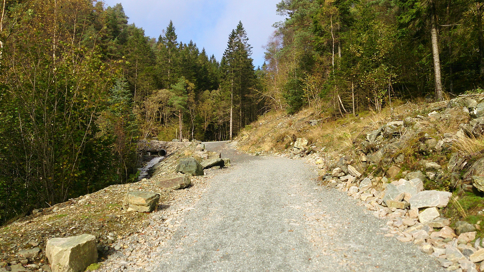
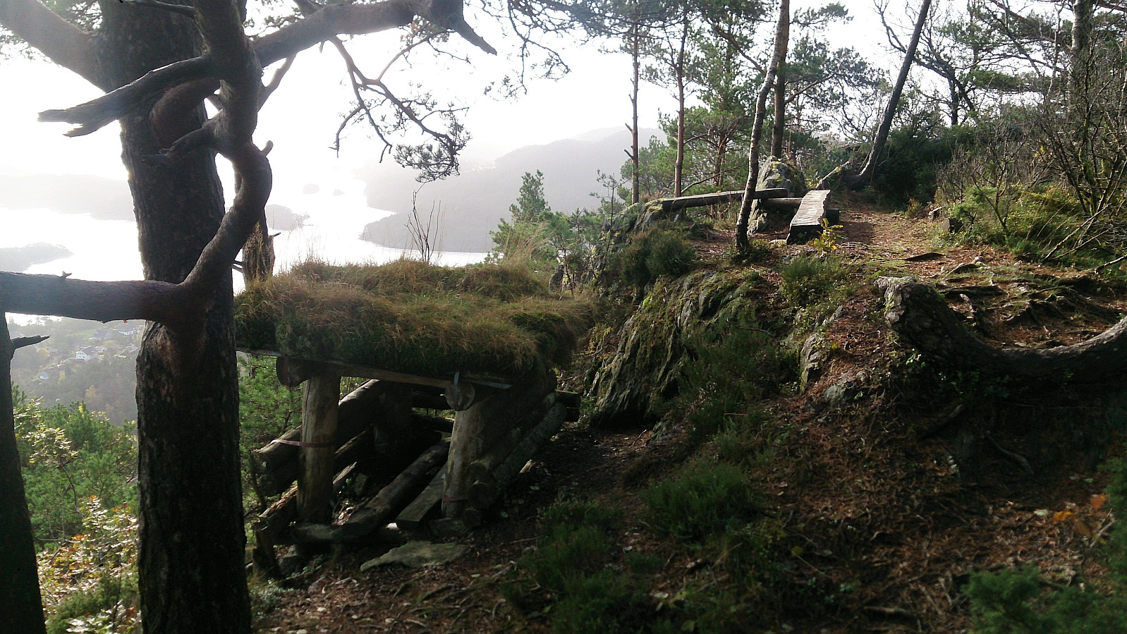
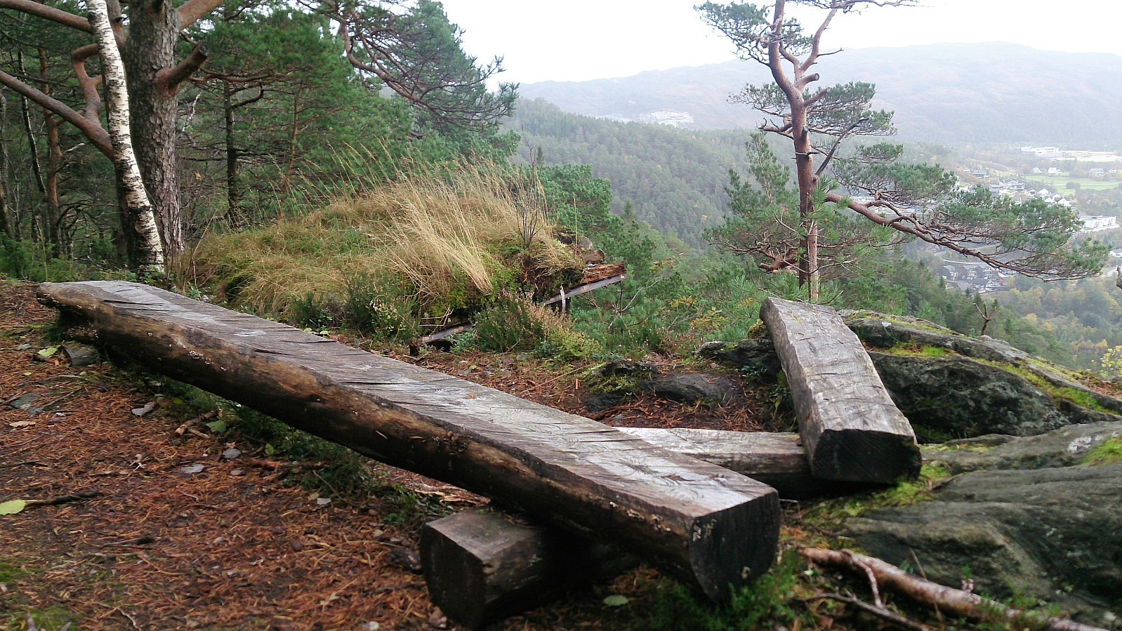
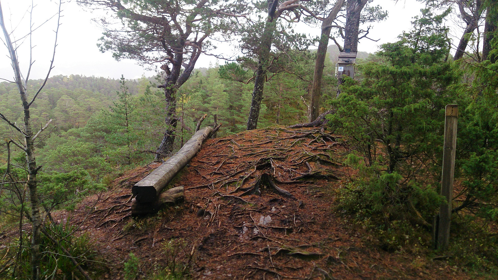
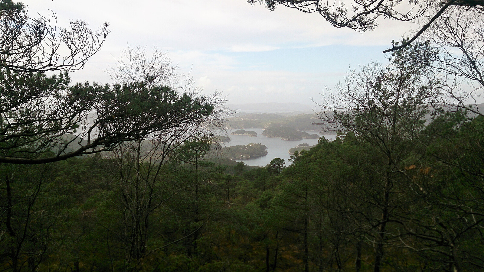
It started out as a newly improved gravel road which later turned into an older, but still quite good, tractor road. Note that my route is perhaps not the quickest one, as it did include a small descent before starting the final climb. As I got closer to the summit I also visited a spot with a very nice southern view, which I added as a new PB element.
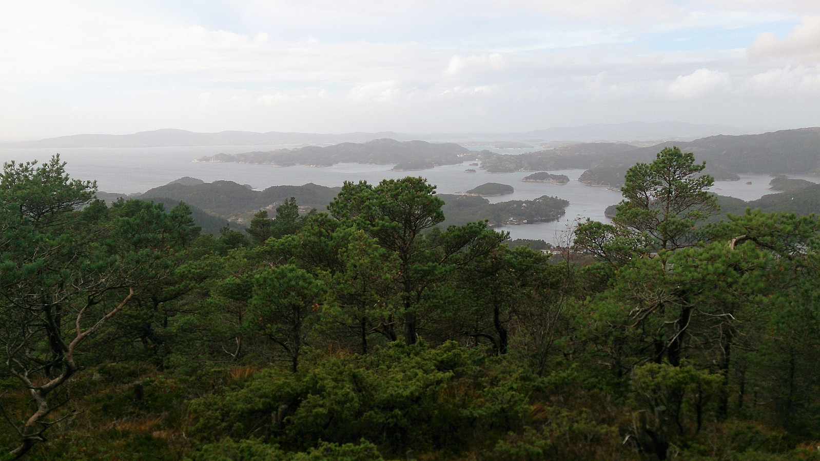
The summit itself provided very limited views, but the views from where the sign and the visitor register is located provided nice views north towards Lysefjorden and Krokeide.
Vardafjellet
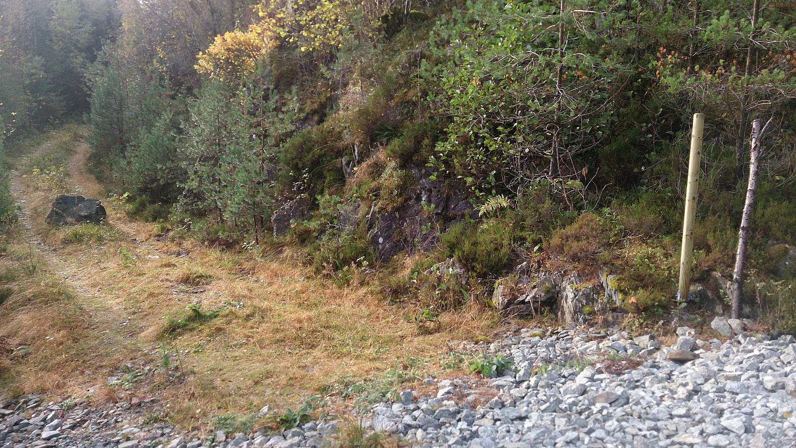
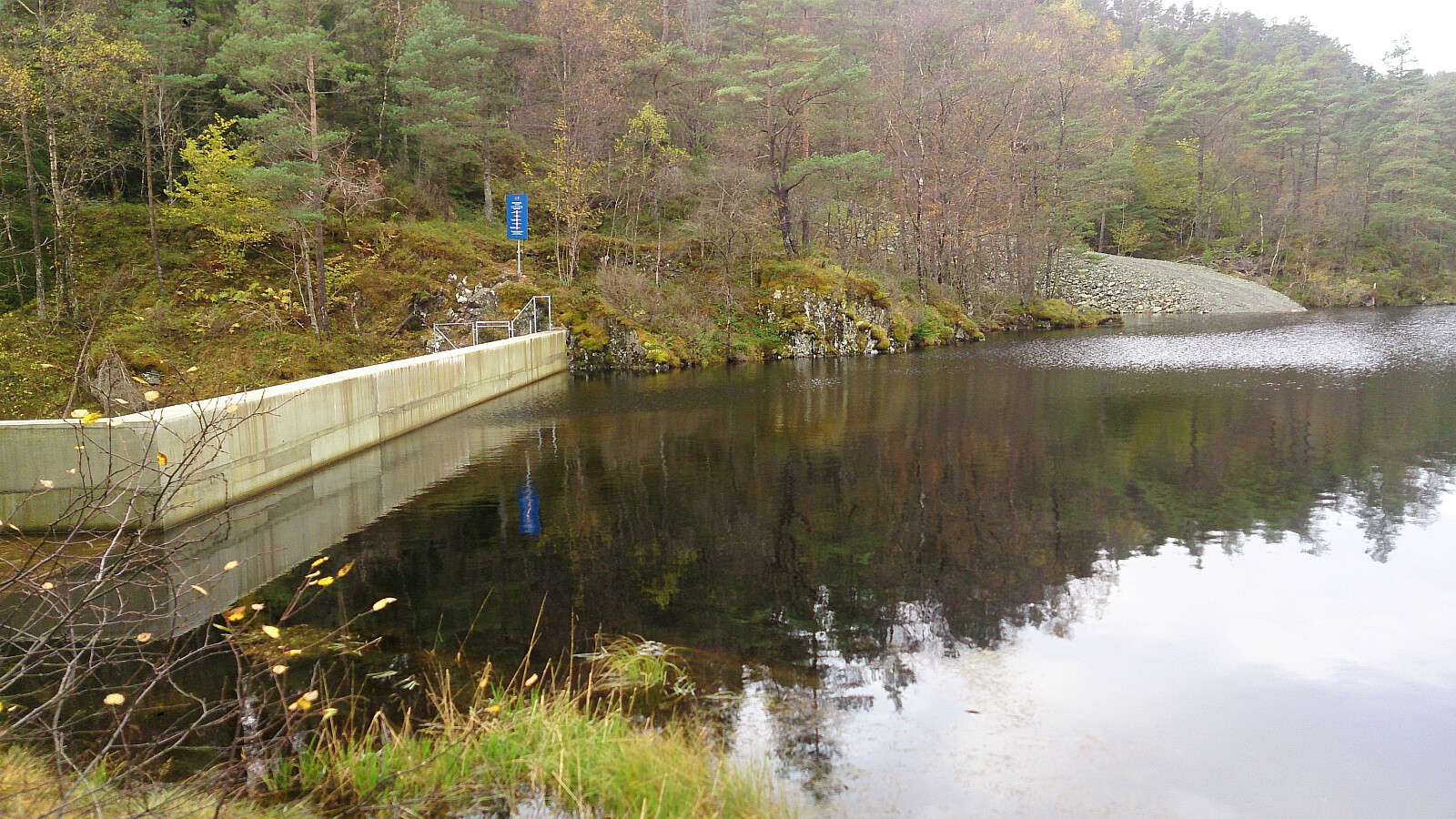
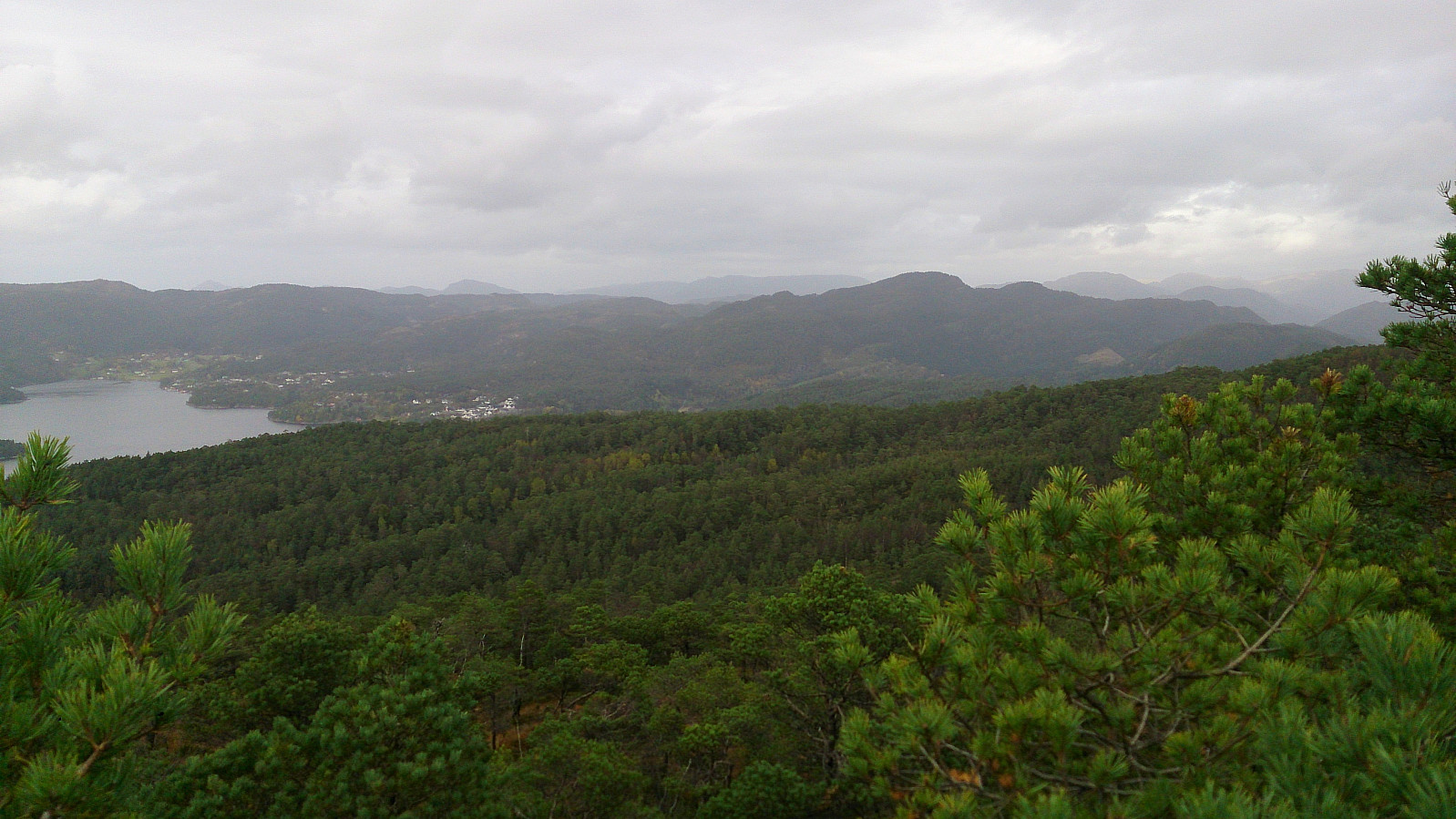
From Høgelikampen I followed a shortcut that took me back to the new gravel road, which I then followed down to Hovlandsvatnet. After crossing south of the dam, I quickly located the marked trail towards Vardafjellet and followed this one north/northeast all the way to the summit. While the quality of the trails/roads had been good until now, this was not the case for, most of, the rest of the hike, mainly consisting of wet and/or muddy areas.
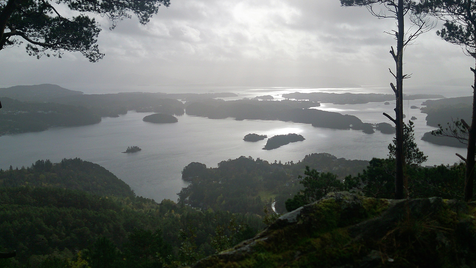
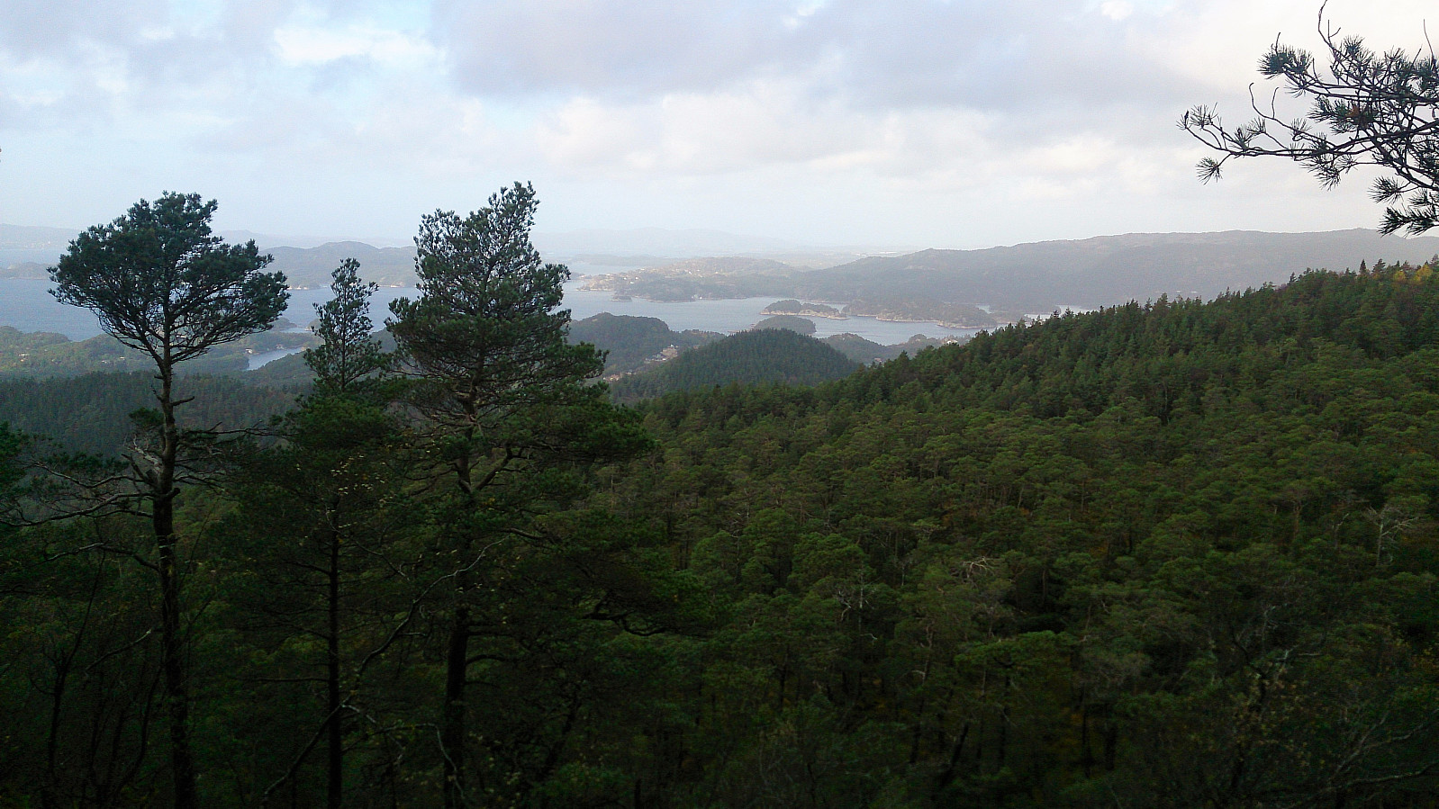
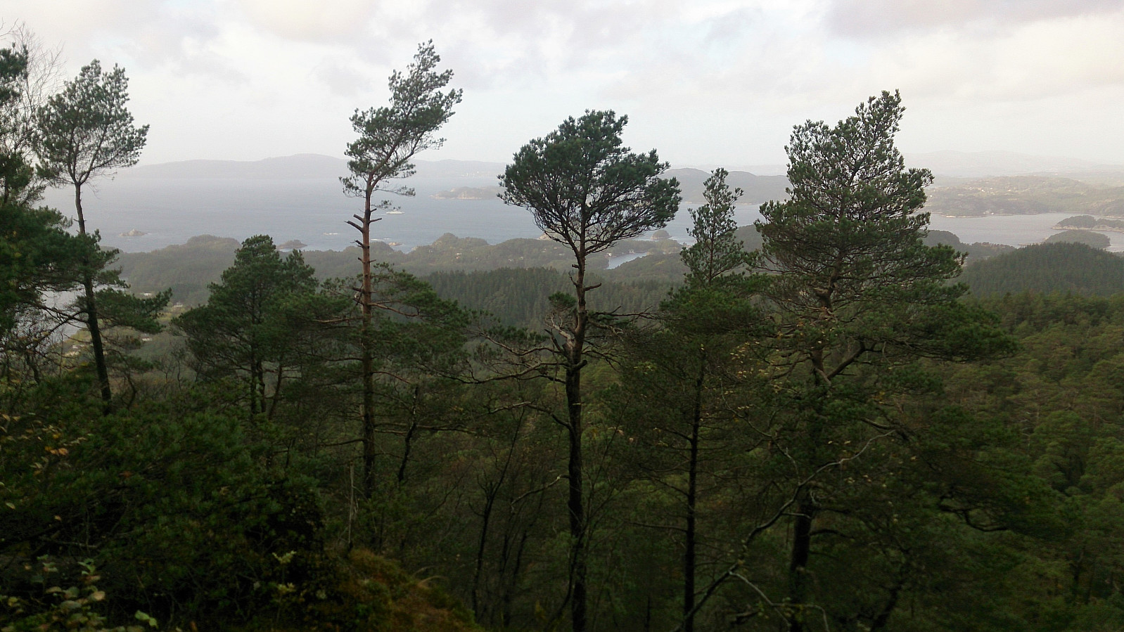
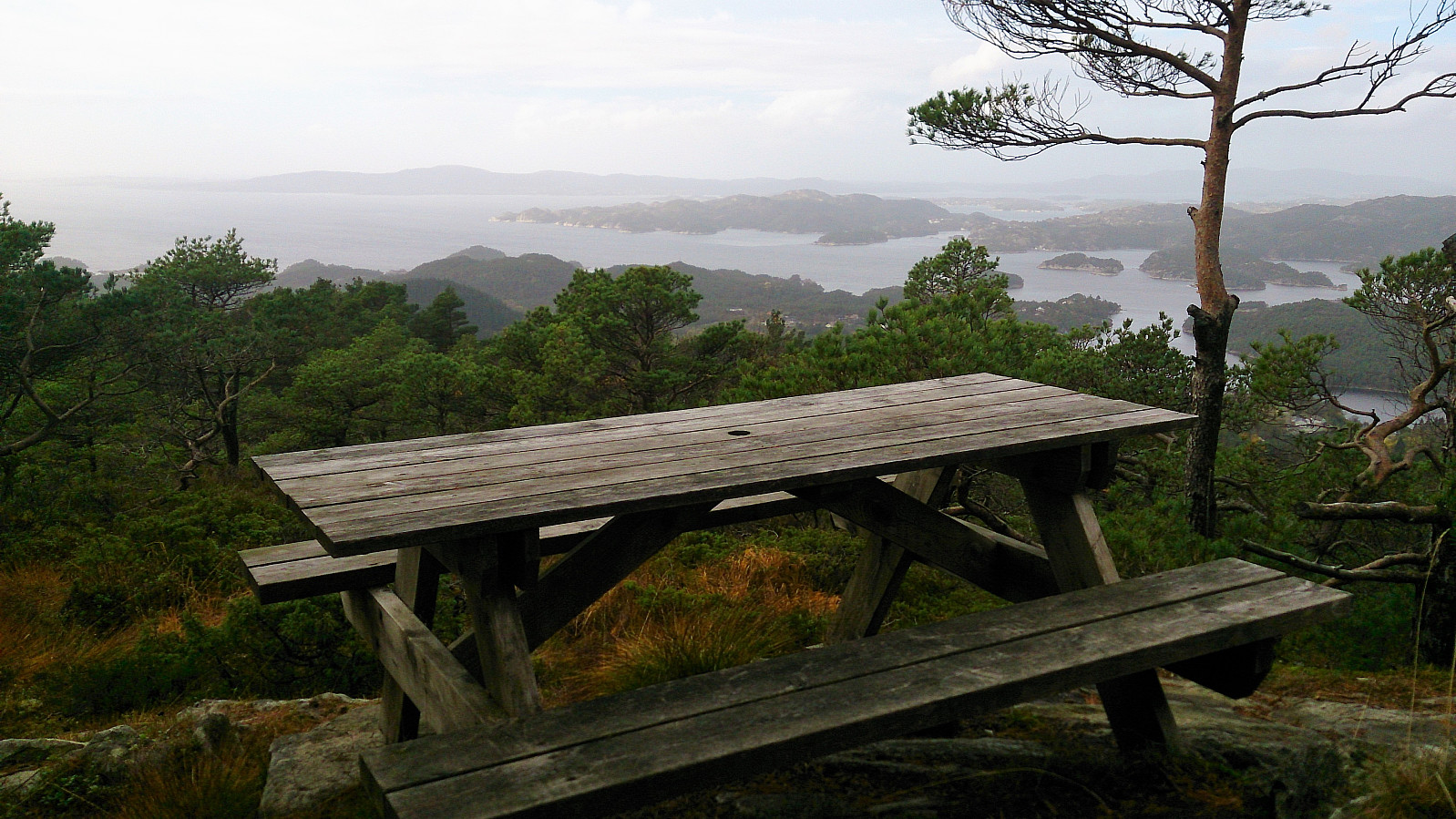
The summit of Vardafjellet really did not provide any views. After a short visit, I therefore continued northeast along a good trail, assuming that the trail would either end up at a better viewpoint, or provide a shortcut towards Ulvenfjellet. The former turned out to be true, providing excellent views towards Lysefjorden, Krokeide and Lyshornet. Another new PB element added. Clearly worth a visit if going to Vardafjellet.
Ulvenfjellet
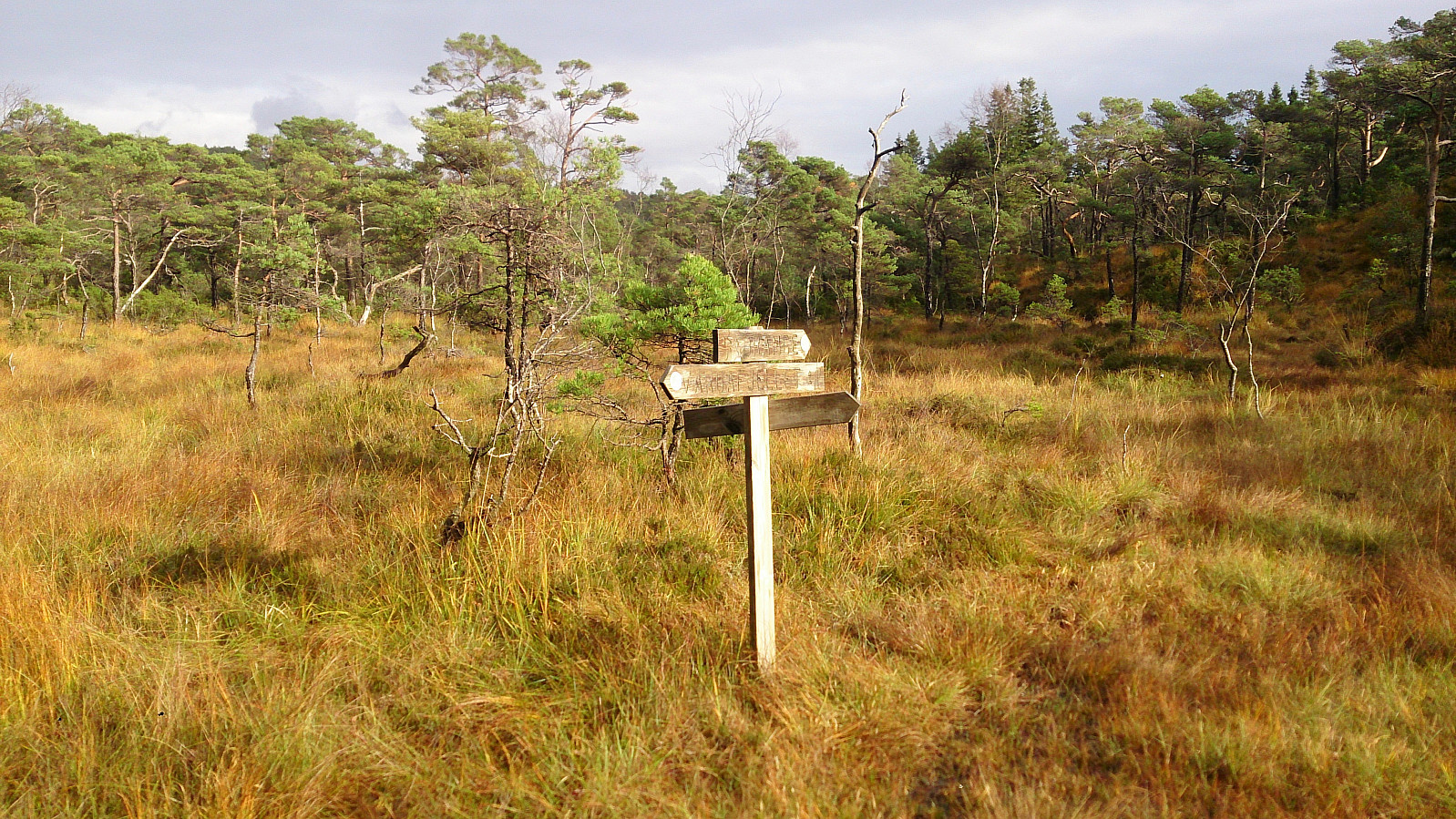
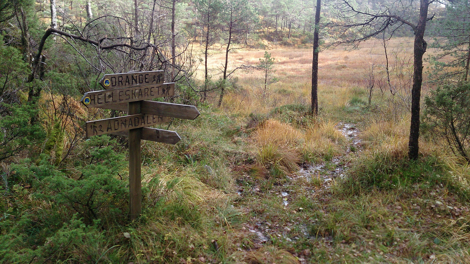
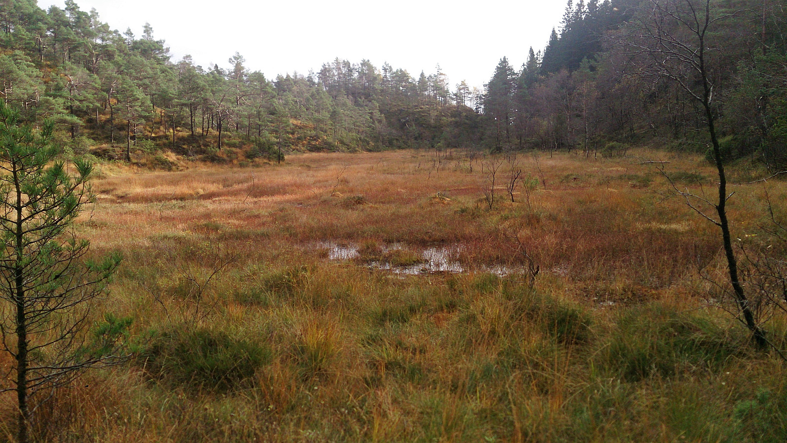
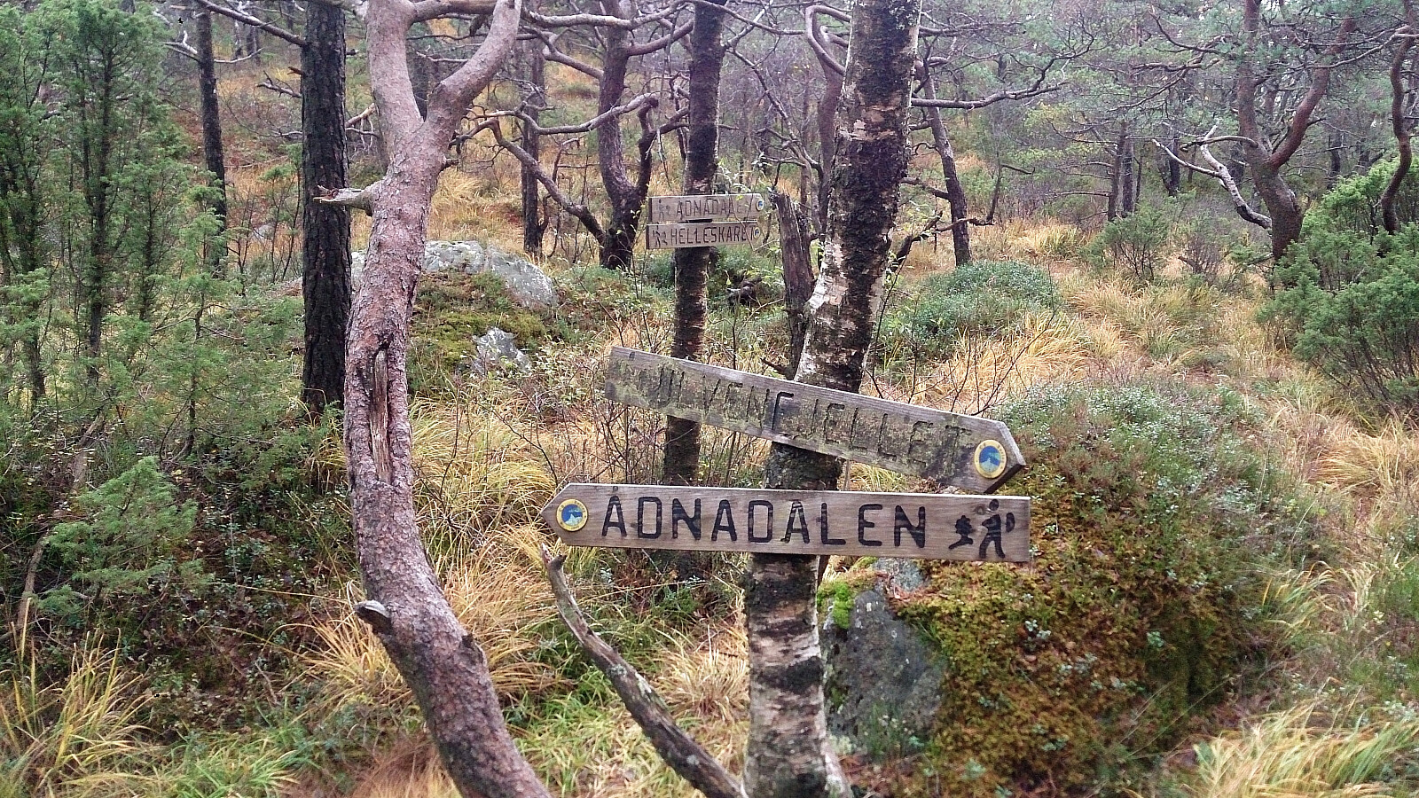
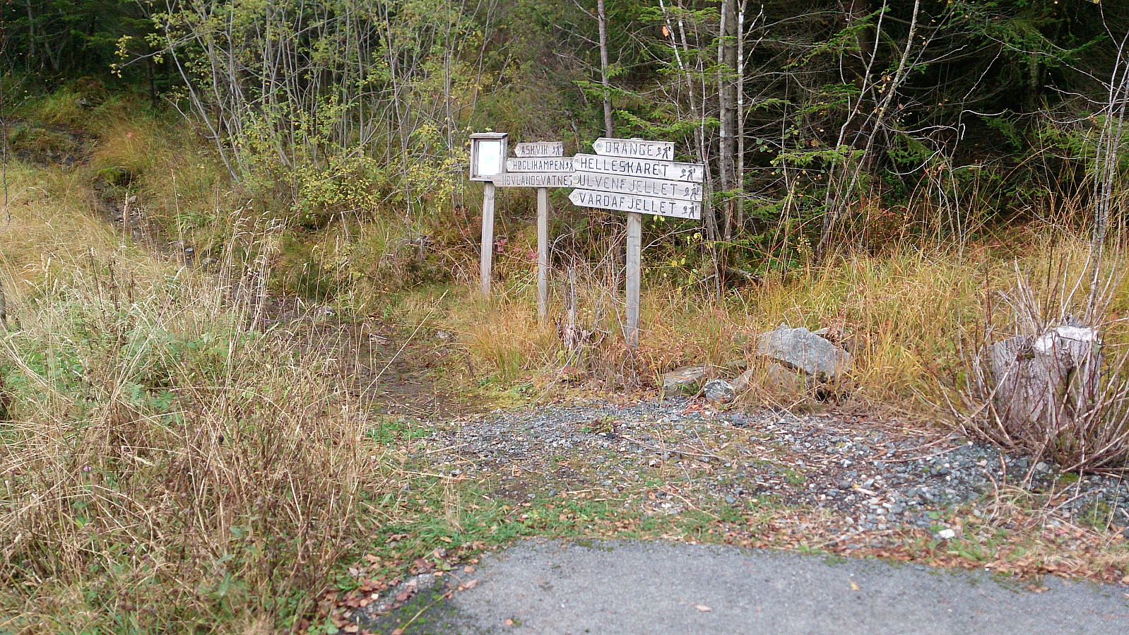
The final goal of the day was Ulvenfjellet. From the viewpoint I retracted my steps back to where the map indicated a trail towards Ådnedalsmyra. This trail was marked with a sign (follow the one towards "Drange"), but the trail itself started out mainly as faint footprints in a marsh. After a while it did improve somewhat though, and I shortly found myself at the northern end of Ådnedalsmyra.
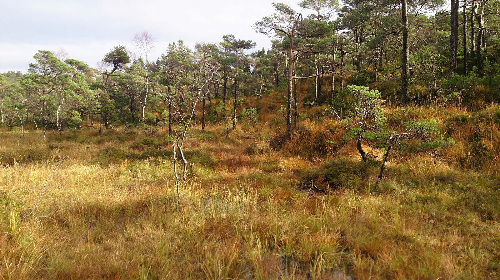
I looked for trail towards Ulvenfjellet, but the only one I could find included heading southwest and having to go down almost 150 meters, which I would then immediately have to regain to get to the summit. I therefore decided to instead make my own way in the direction of Ulvenfjellet. The quality of the trails was quite poor anyway, so I did not have much to lose.
The terrain was a bit wet at the start, but there were few low trees and bushes, which made it fairly easy to progress towards the summit. As a bonus I also happened upon two deer on the way, before finally connecting with the trail towards Ulvenfjellet indicated on the map.
As I was getting closer to the summit, I noticed a marked trail west towards Ådnedalen, maybe indicating that if I had been a bit more patient and continued north from Ådnedalsmyr towards Mikkelsvatnet, instead of taking my own shortcut towards Ulvenfjellet, I could perhaps have followed a trail all the way to the summit.
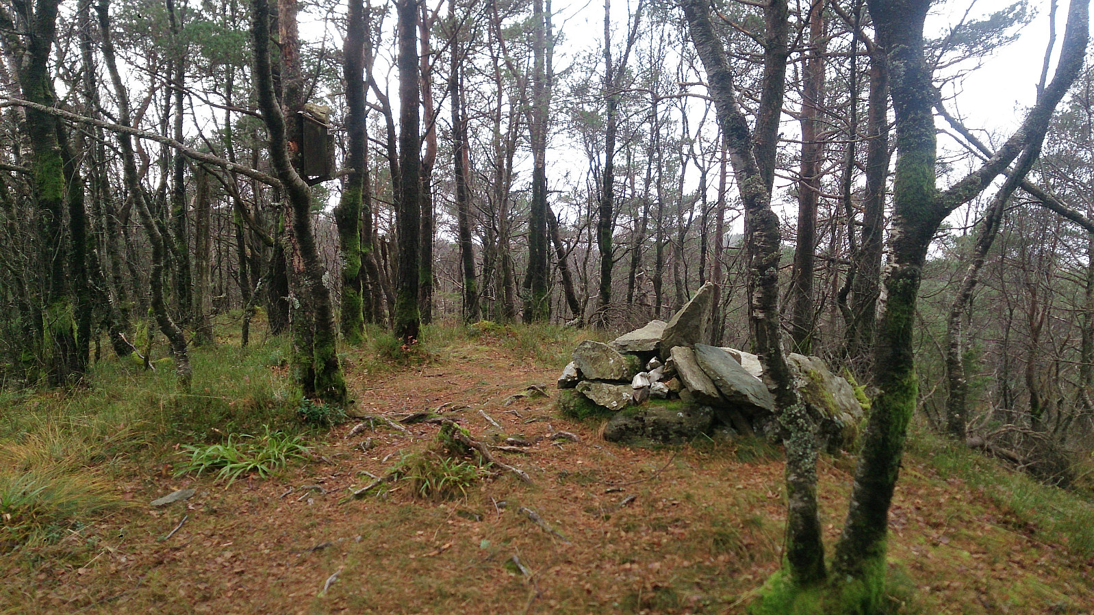
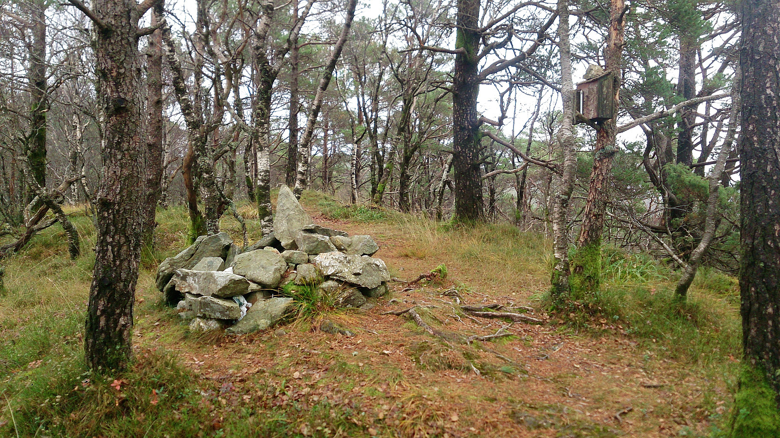
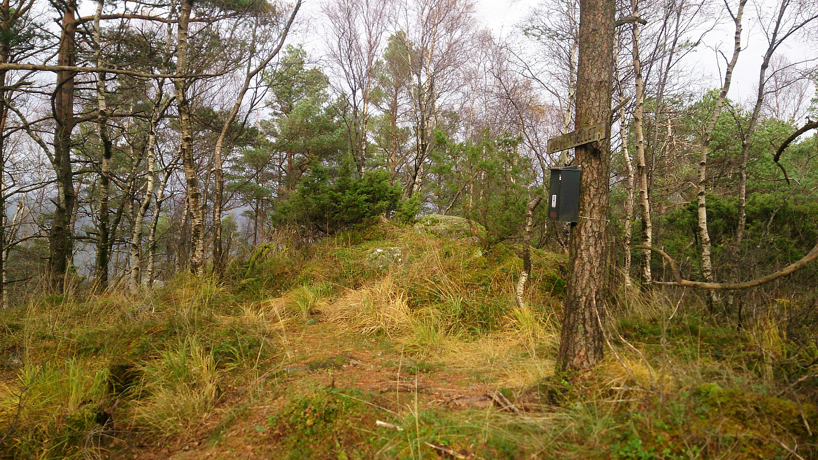
Ulvenfjellet provided close to no views. It did have a sign and a visitor register, but at first I could not find a pen. But as I was about to leave I noticed a pen on the ground next to the visitor register, which I after a while managed to resurrect enough to write my name.
From the summit I turned back south and followed the (at least initially) marked trails back to Rolls Royce and Ulvenvegen, which I then followed back to the start of the hike at Ulvenskiftet. Here I noticed that I had plenty of time until the planned bus and started walking north along road, making it all the way to Søfteland/Gåssandskiftet before taking the bus back to the city center.
Conclusion
In general, this hike contained too many wet and muddy trails, and overall summits with limited views, to be highly recommended. Høgelikampen being the exception, with its very nice gravel roads for most of the ascent.

| Start date | 14.10.2017 11:58 (UTC+01:00 DST) |
| End date | 14.10.2017 17:23 (UTC+01:00 DST) |
| Total Time | 5h 24min |
| Moving Time | 5h 07min |
| Stopped Time | 0h 16min |
| Overall Average | 3.9km/h |
| Moving Average | 4.1km/h |
| Distance | 21.0km |
| Vertical meters | 812m |


User comments