
Vassberget, Kvamsfjellet, Svarthamrane and Tveitavarden (08.10.2017)

Written by hbar (Harald Barsnes)

| Start point | Lindåsvegen (98m) |
|---|---|
| Endpoint | Isdalstø (6m) |
| Characteristic | Hillwalk |
| Duration | 4h 17min |
| Distance | 11.5km |
| Vertical meters | 485m |
| GPS |
|
| Ascents | Kvamsfjellet (230m) | 08.10.2017 |
|---|---|---|
| Tveitavarden (196m) | 08.10.2017 | |
| Vassberget (288m) | 08.10.2017 | |
| Visits of other PBEs | Svarthamrane (200m) | 08.10.2017 |
Vassberget, Kvamsfjellet, Svarthamrane and Tveitavarden
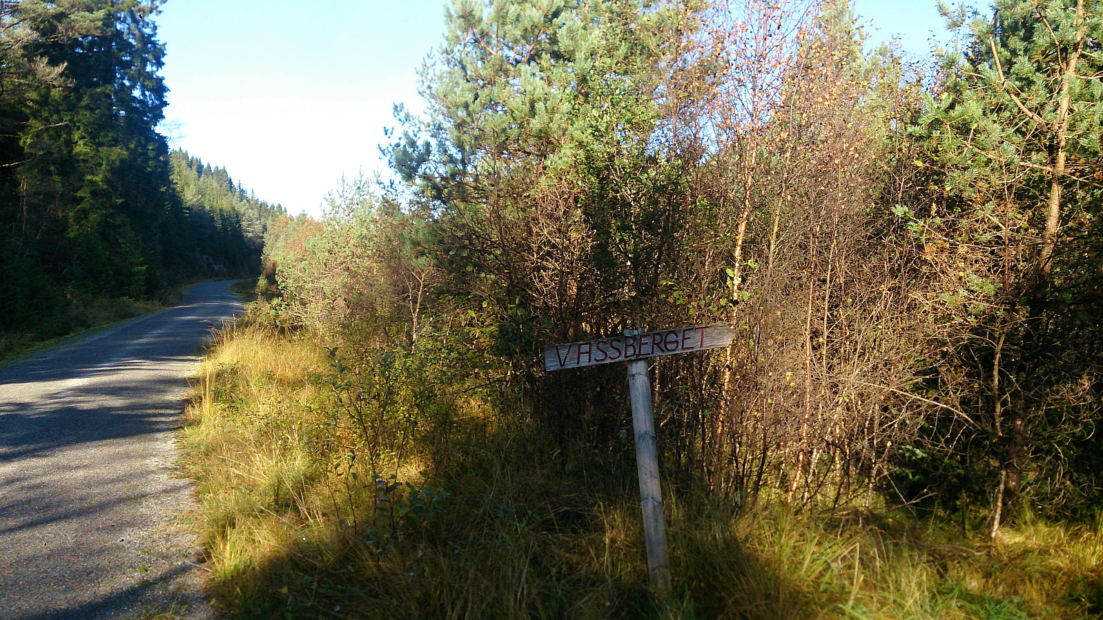
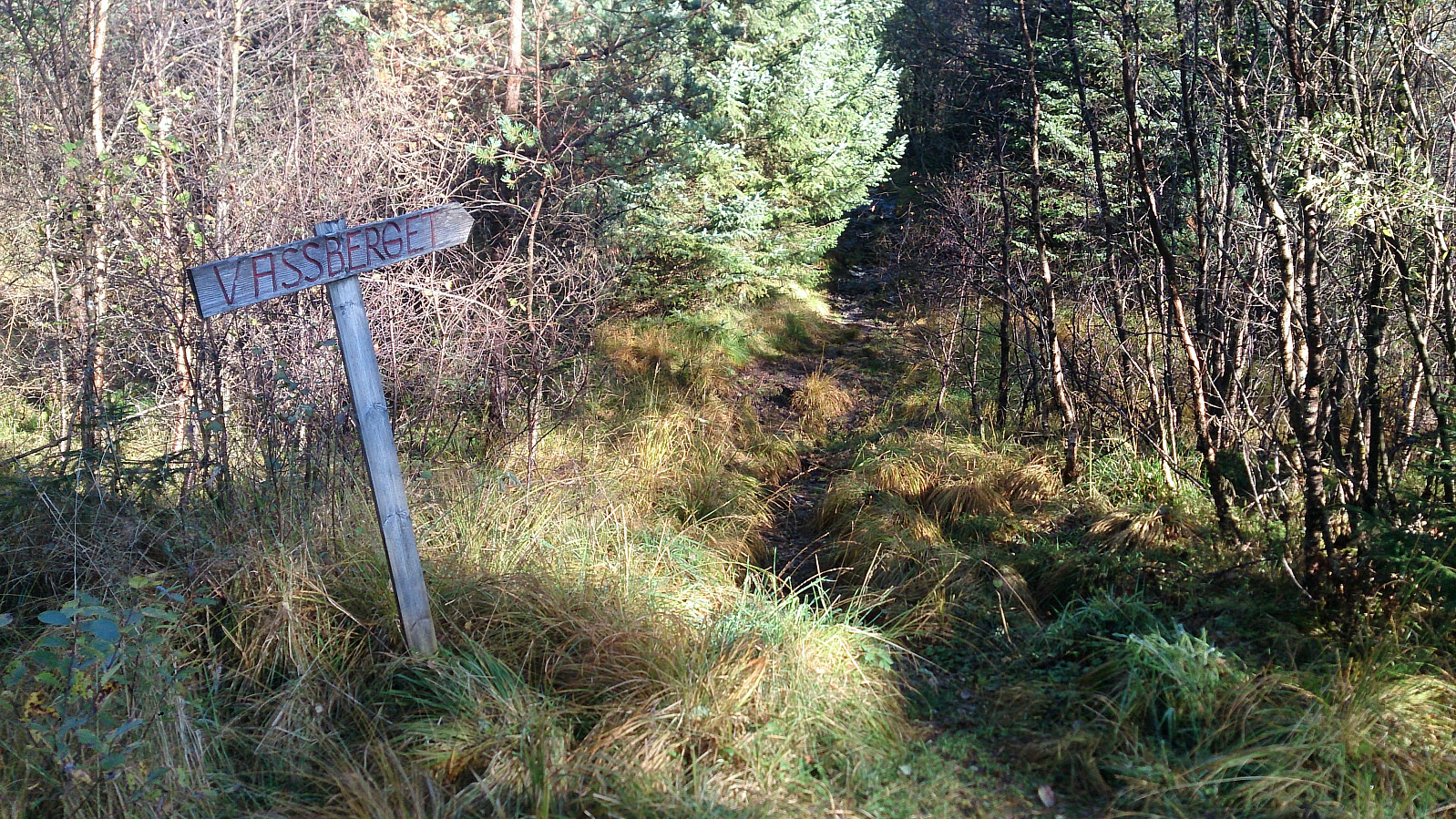
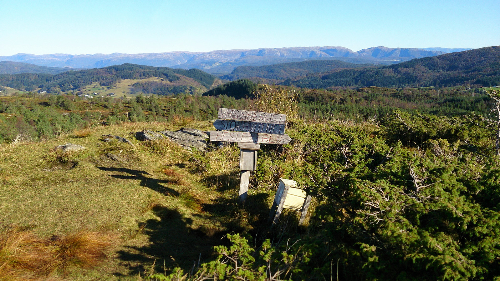

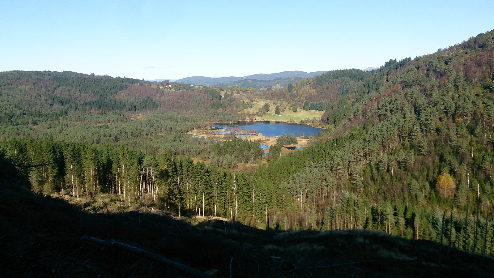
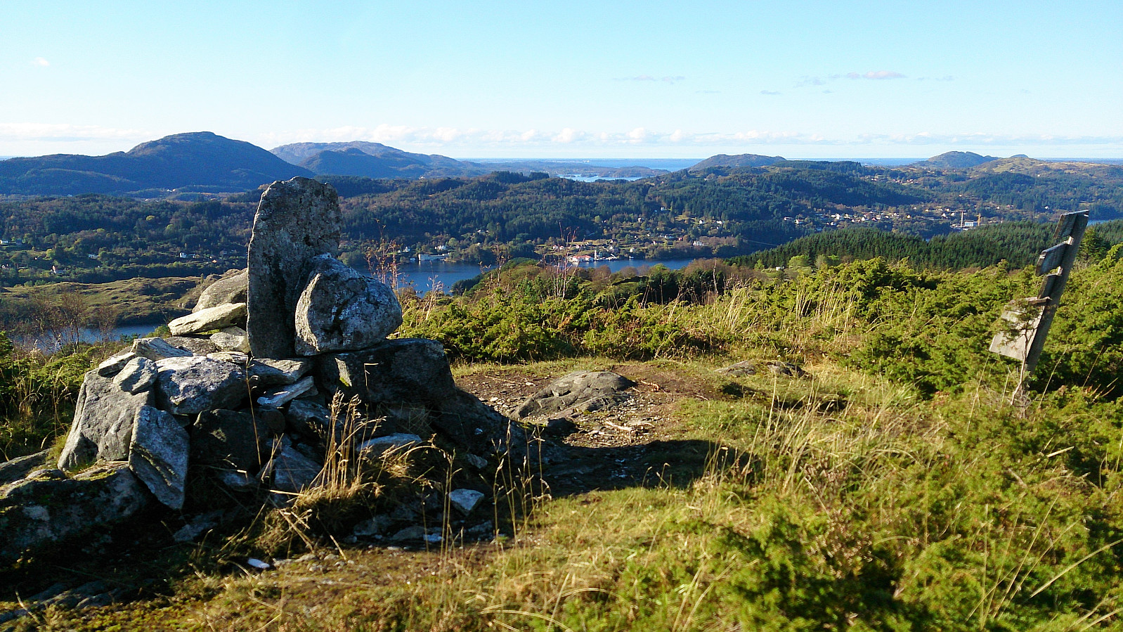
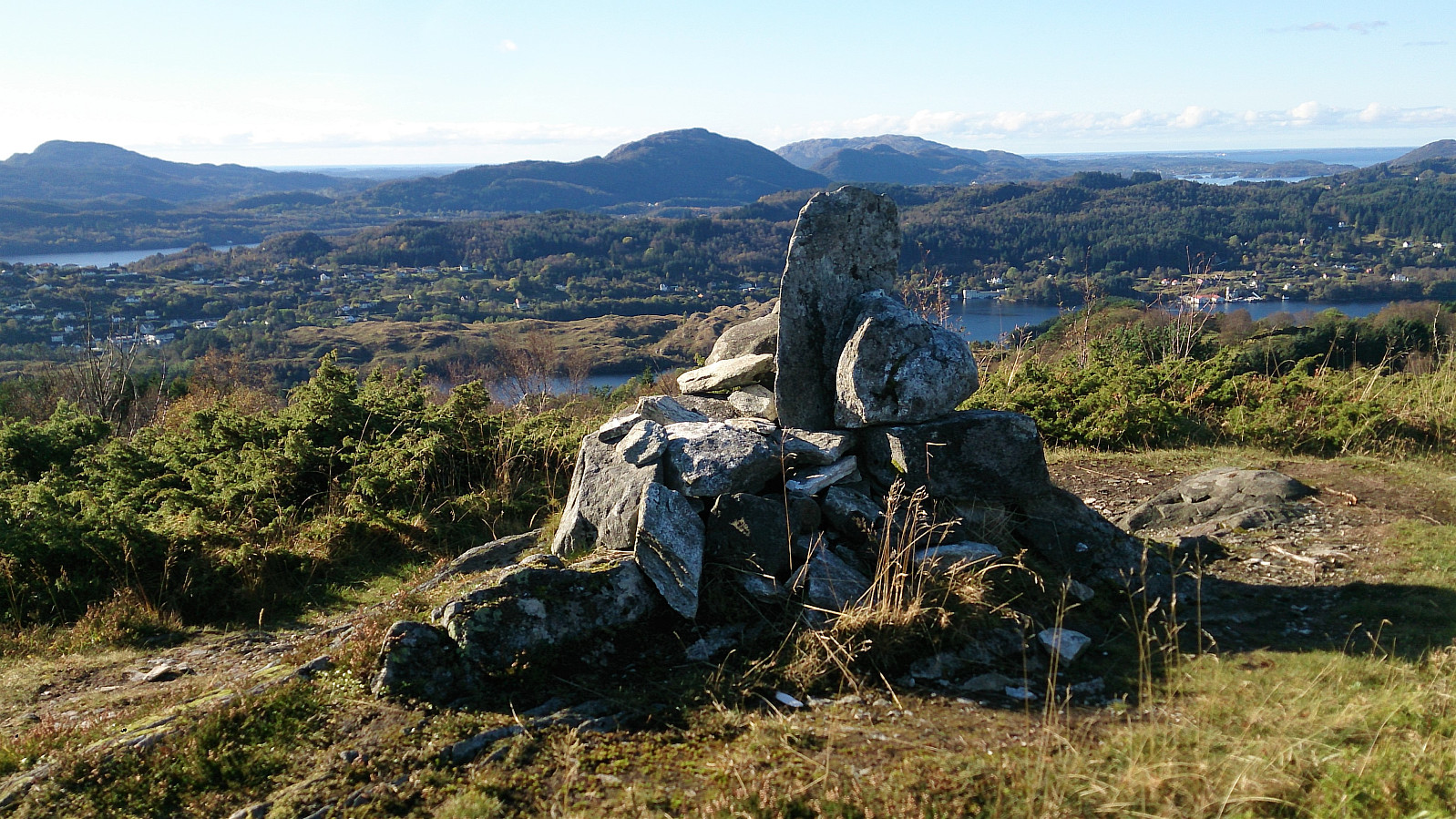
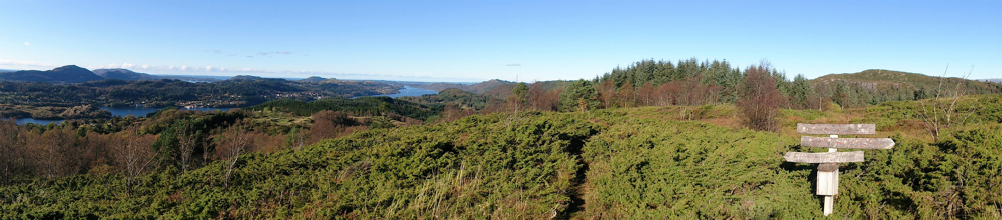
Vassberget
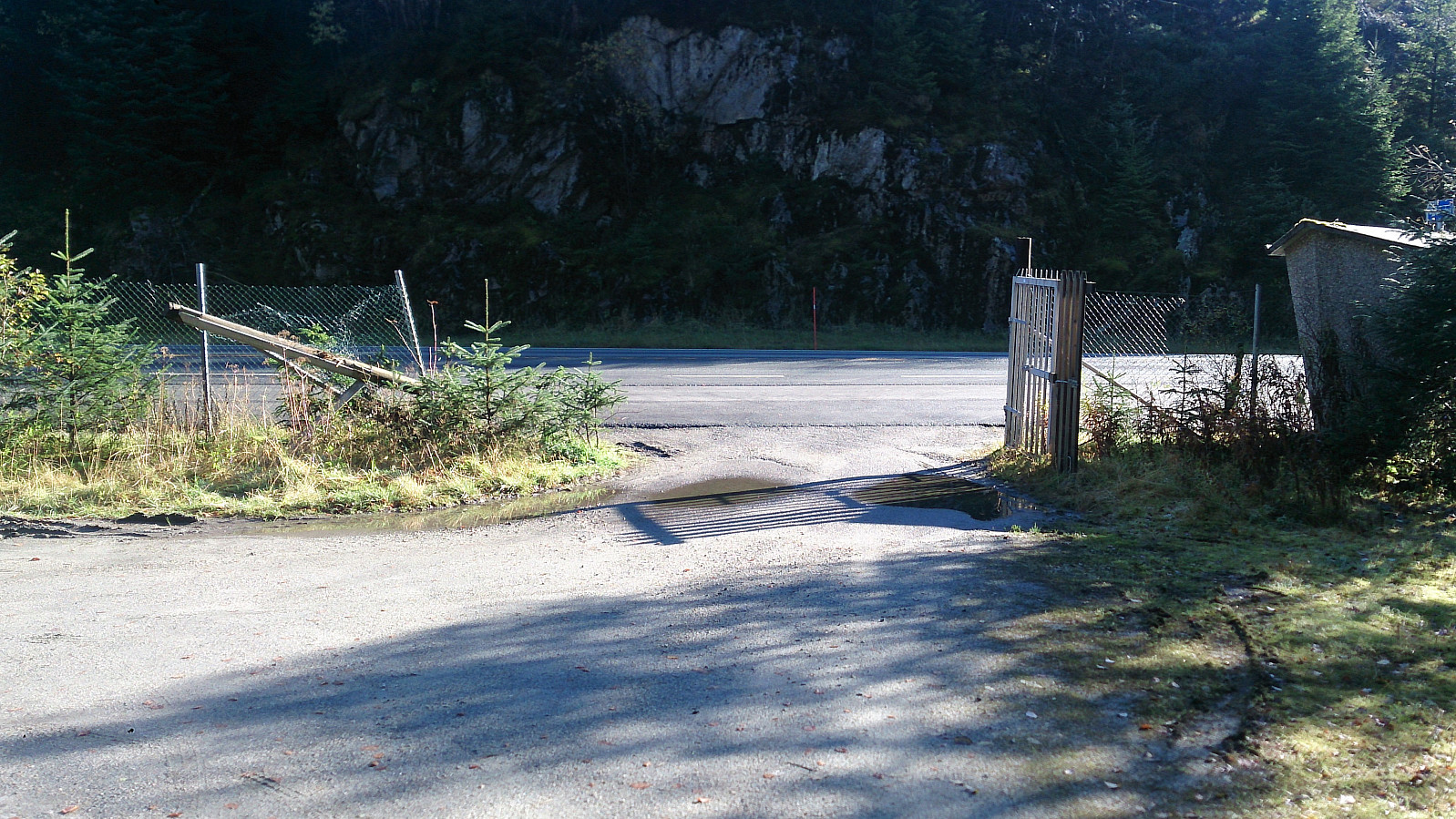
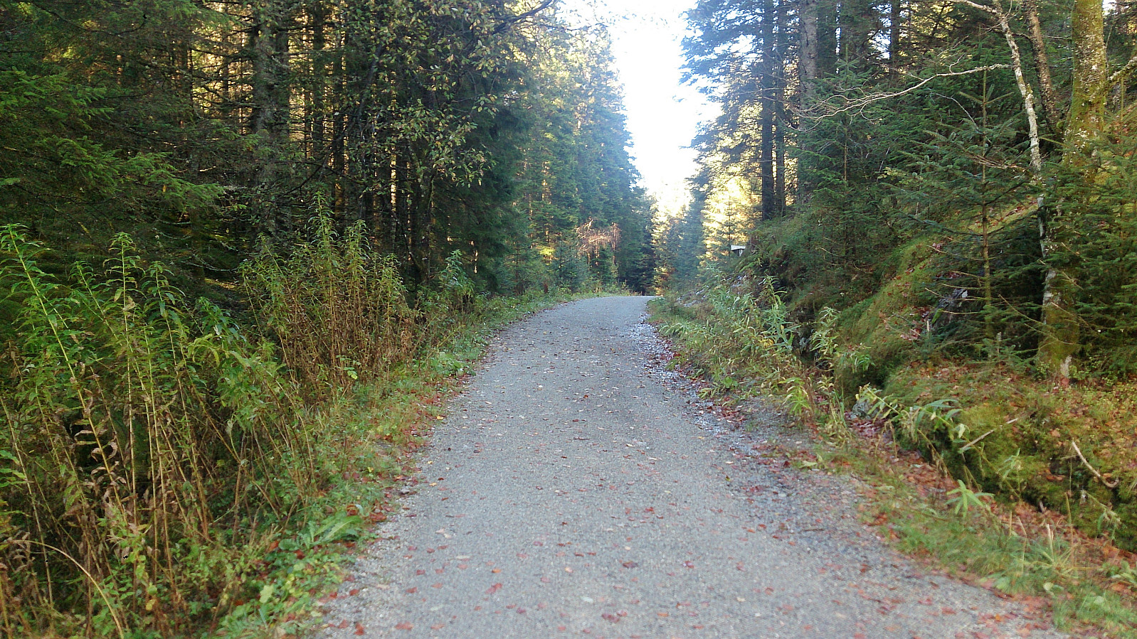
Started by taking the bus to Øvre Isdalen (to the bus stop called Åse) and from there following the unmarked gravel road northeast in the valley between Kvamsfjellet and Vassberget. My original plan was to take the trail that was supposed to start right after the small building on the right side of the road shortly after leaving the main road, but I did not manage to locate this trail, and therefore instead continued to the main trail further up the gravel road.
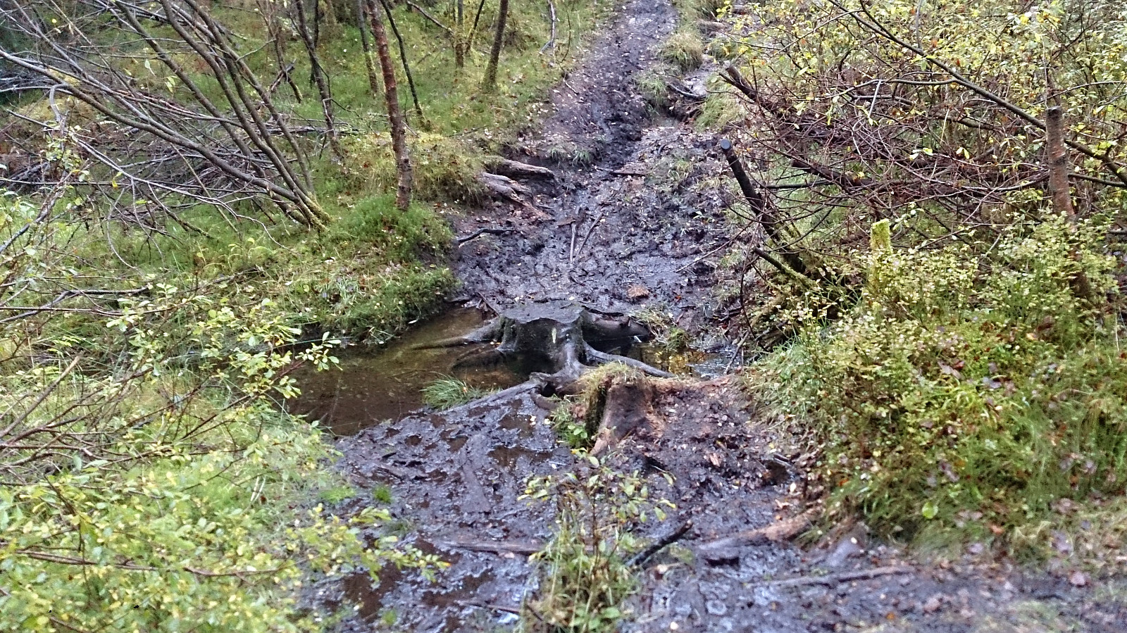
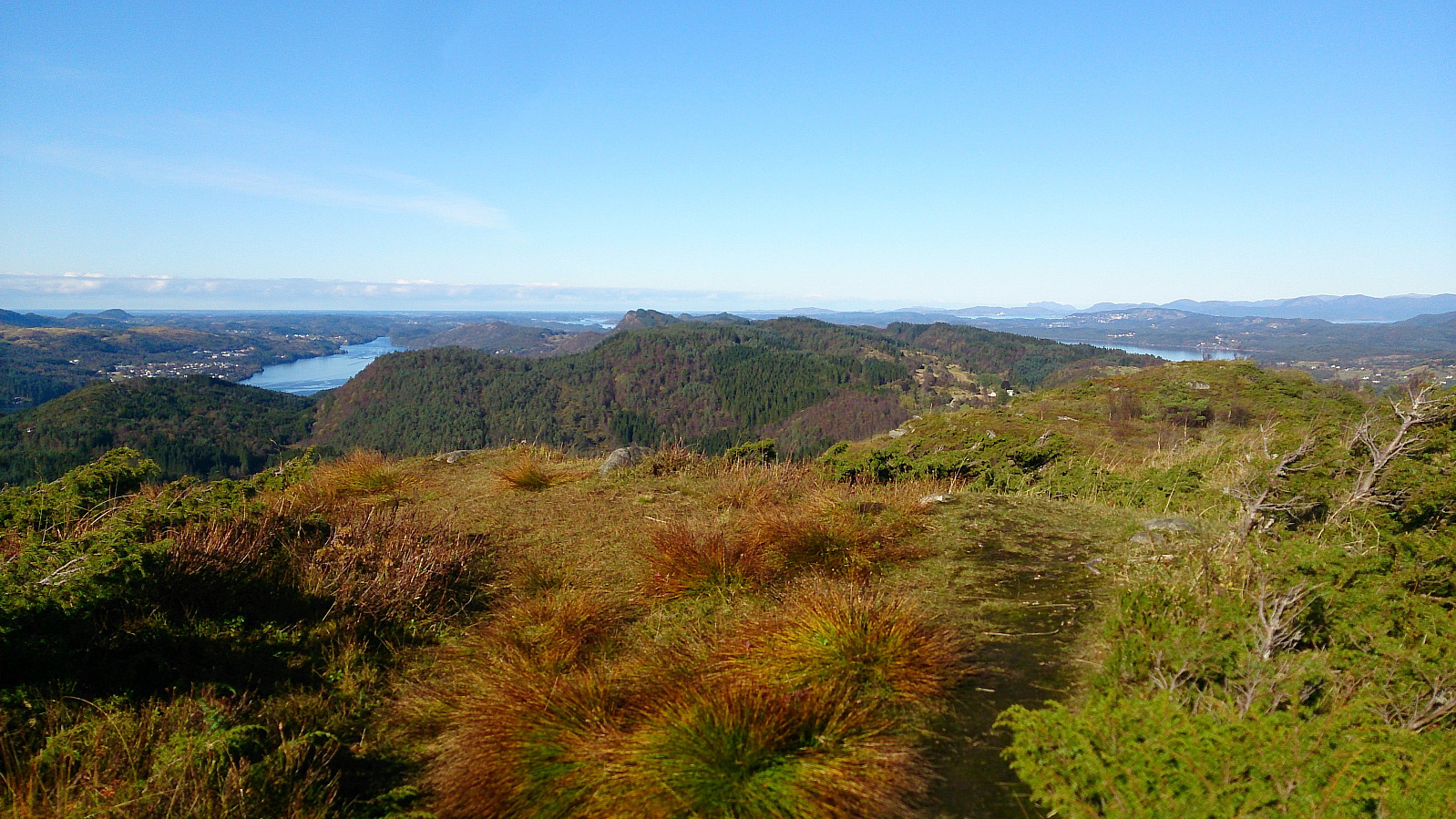
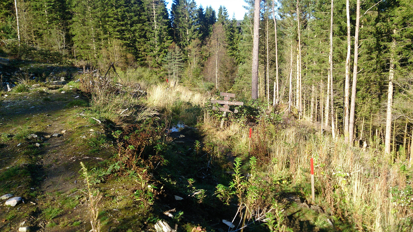
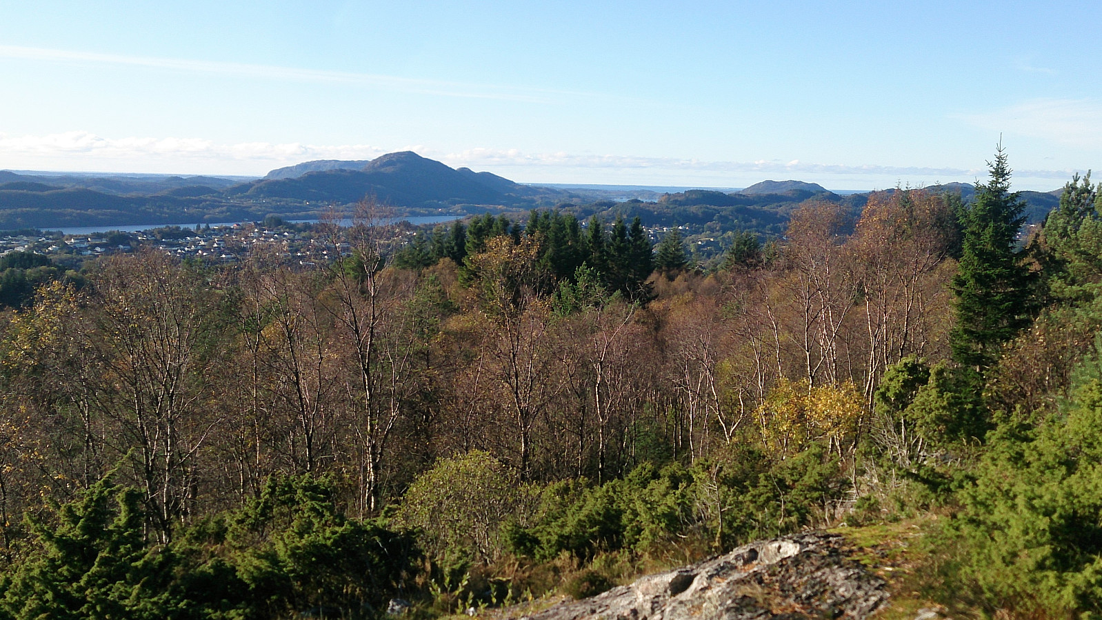
The trailhead was marked, but the quality of the trail was initially very wet and muddy. This improved slightly as the trail started climbing up the mountain, but there were still with lots of muddy areas, which would turn out to be the theme of the day... The views from the summit were excellent though, and I also continued a bit beyond the summit, before doubling back and following the same trail back to the gravel road.
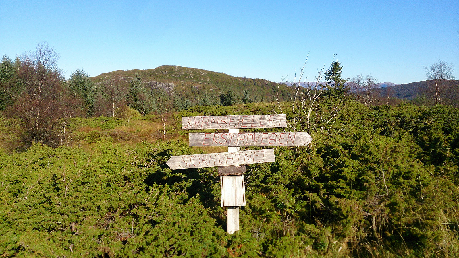
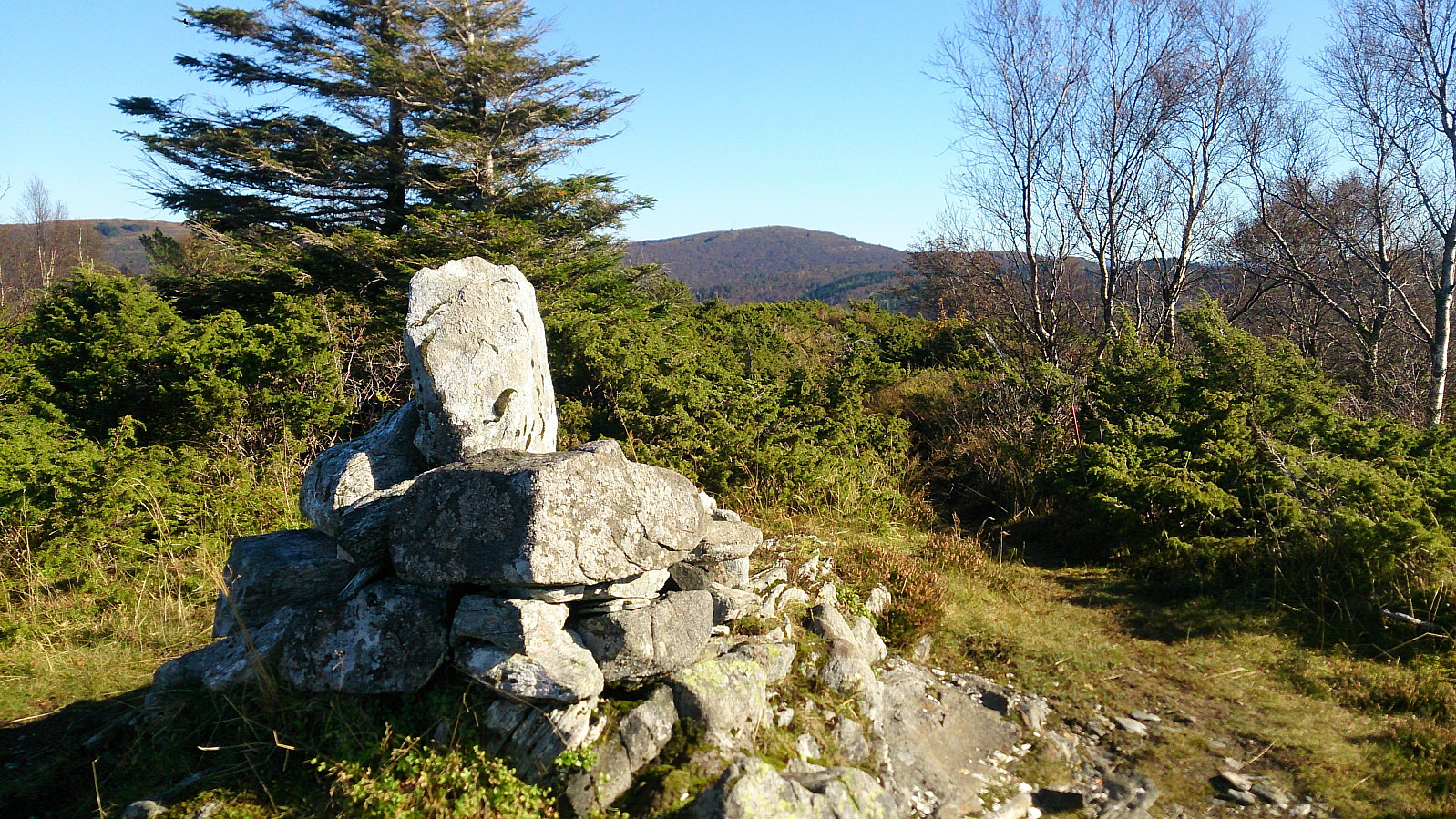
Kvamsfjellet
Upon reaching the gravel road I headed northwest until the gravel road turned into more of a tractor road. The marked trailhead soon appeared on the right side of the road. Here I should have followed the red markers up the hillside. However, I instead continued along the tractor road, thinking it would reconnect with the trail around the next corner.
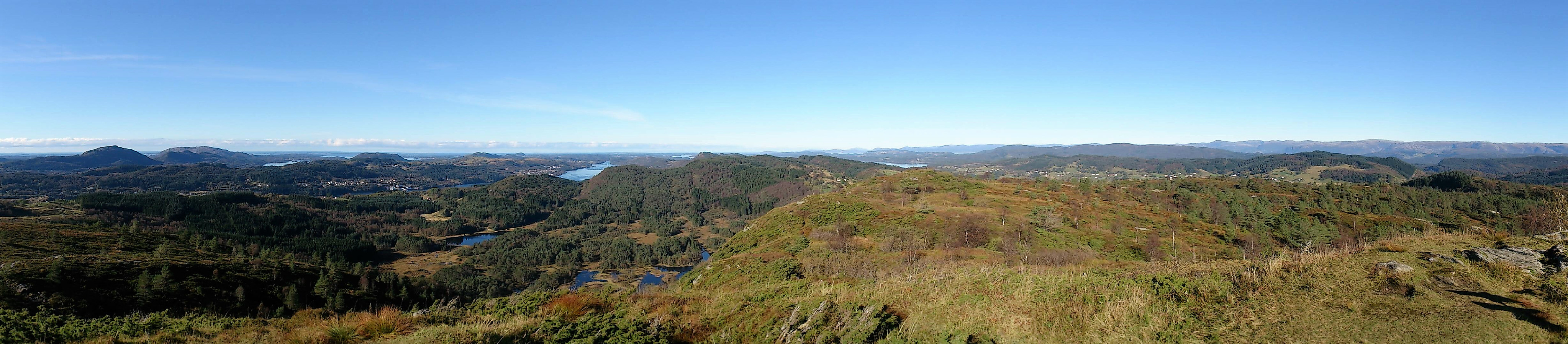
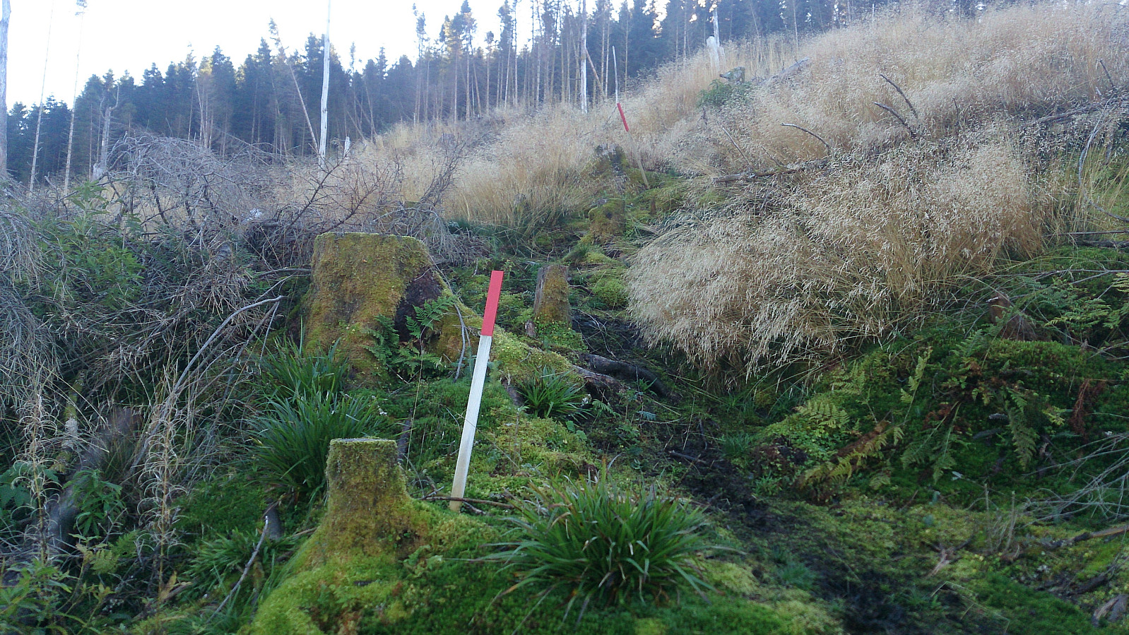
This turned out to be a bad choice, as the tractor road quickly came to an end, and I had to make my way across lots of fallen trees and branches to reconnect with the actual trail. The quality of the trail was not much better though, mainly consisting of mud, but as it reached the ridge it got a bit better, and I quickly arrived at the summit of Kvamsfjellet. Here the views were very nice, especially towards the west, and almost made up for the poor trails.
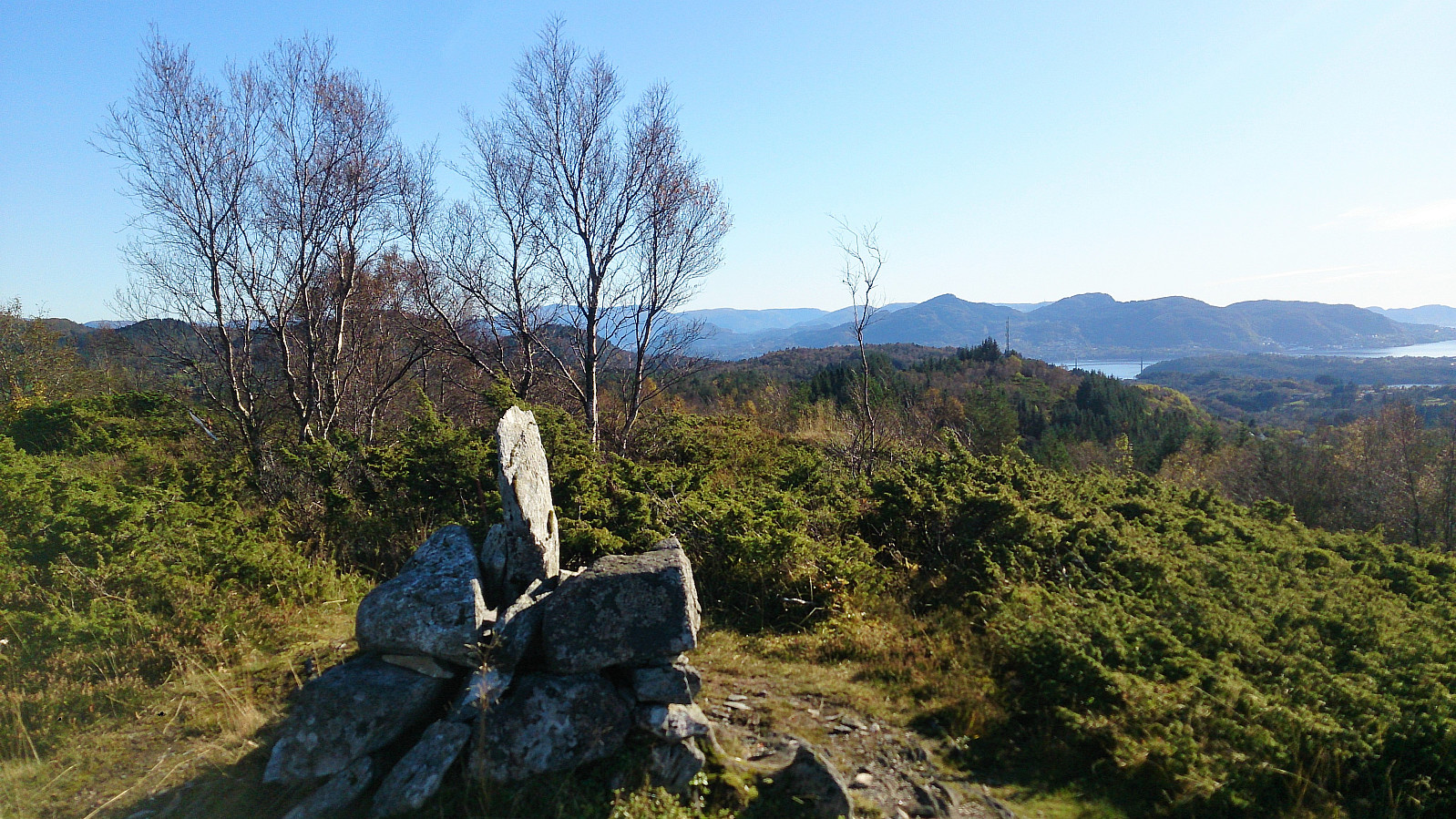
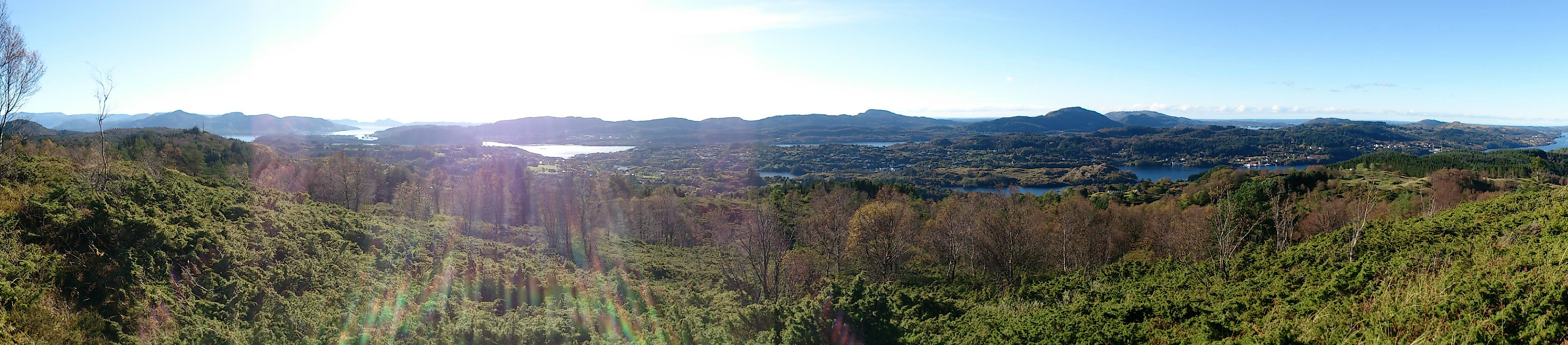
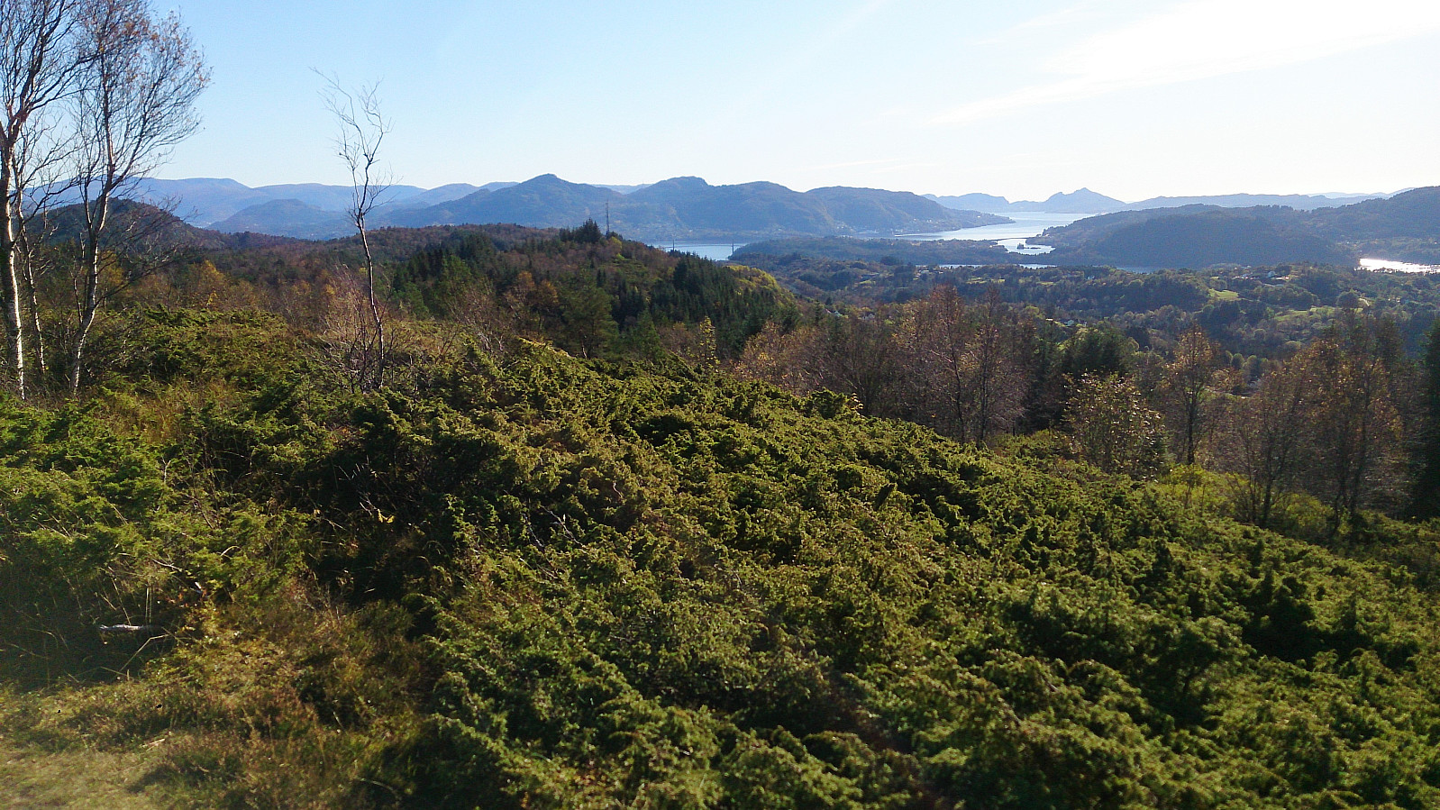
Svarthamrane
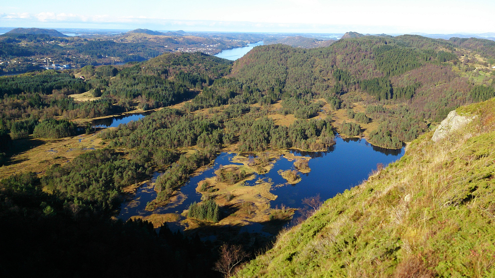
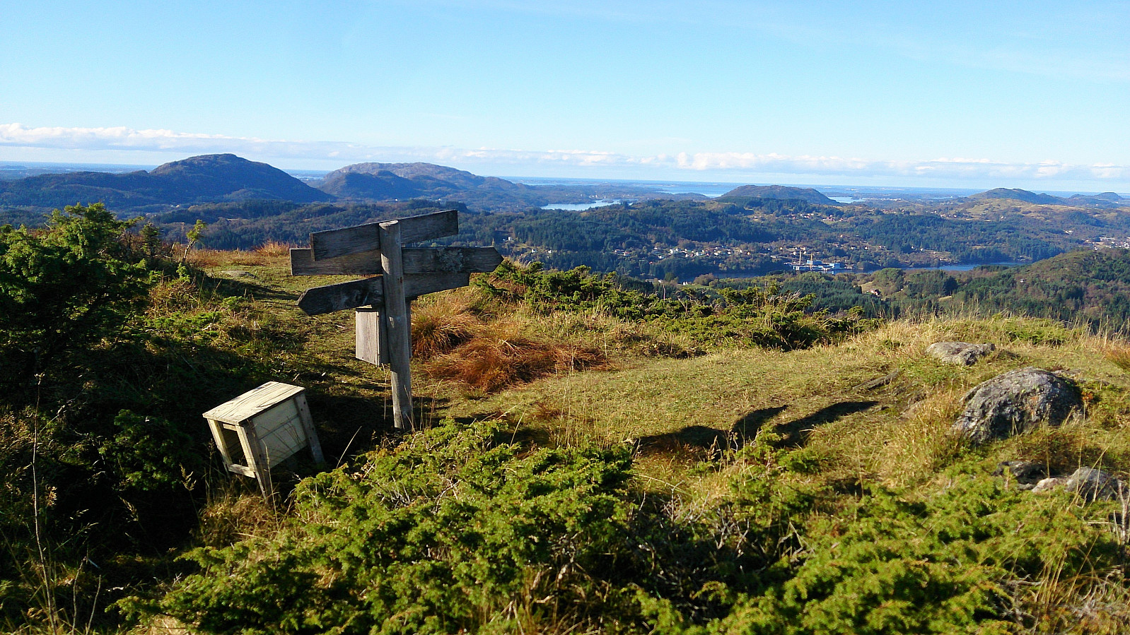
I continued south along more muddy trails towards the viewpoint at Svarthamrane, making a stop at a smaller viewpoint along the way, marked with a separate sign that said "Benk" (i.e. bench in Norwegian), that provided a very nice view towards Kvamme. Svarthamrane itself also provided nice views, but not at the level of Vassberget or Kvamsfjellet.
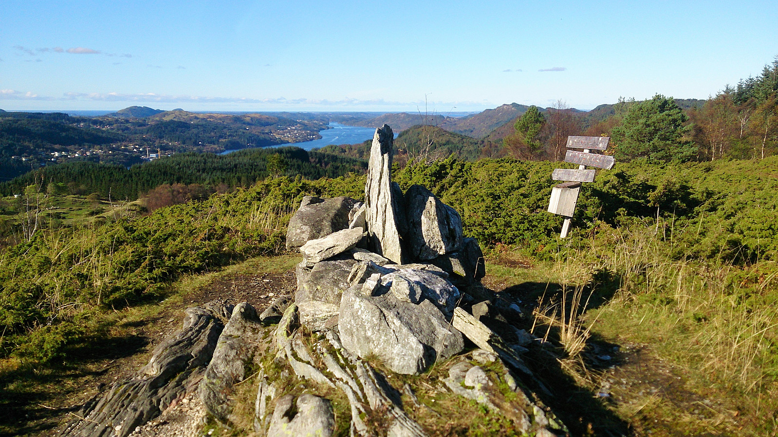
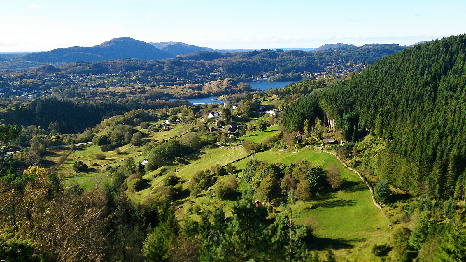
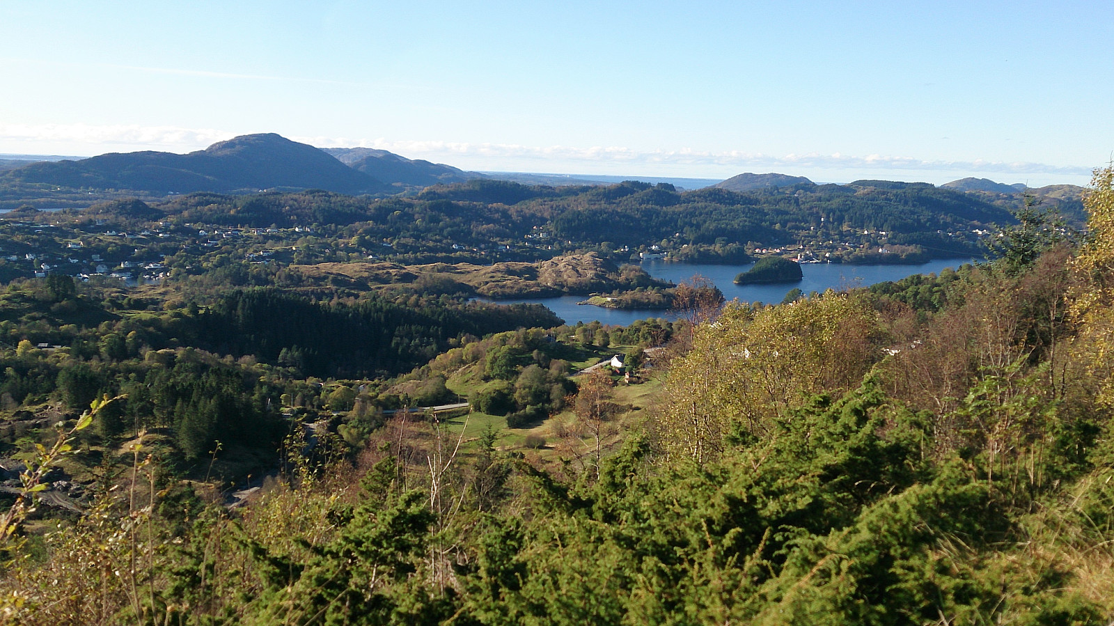
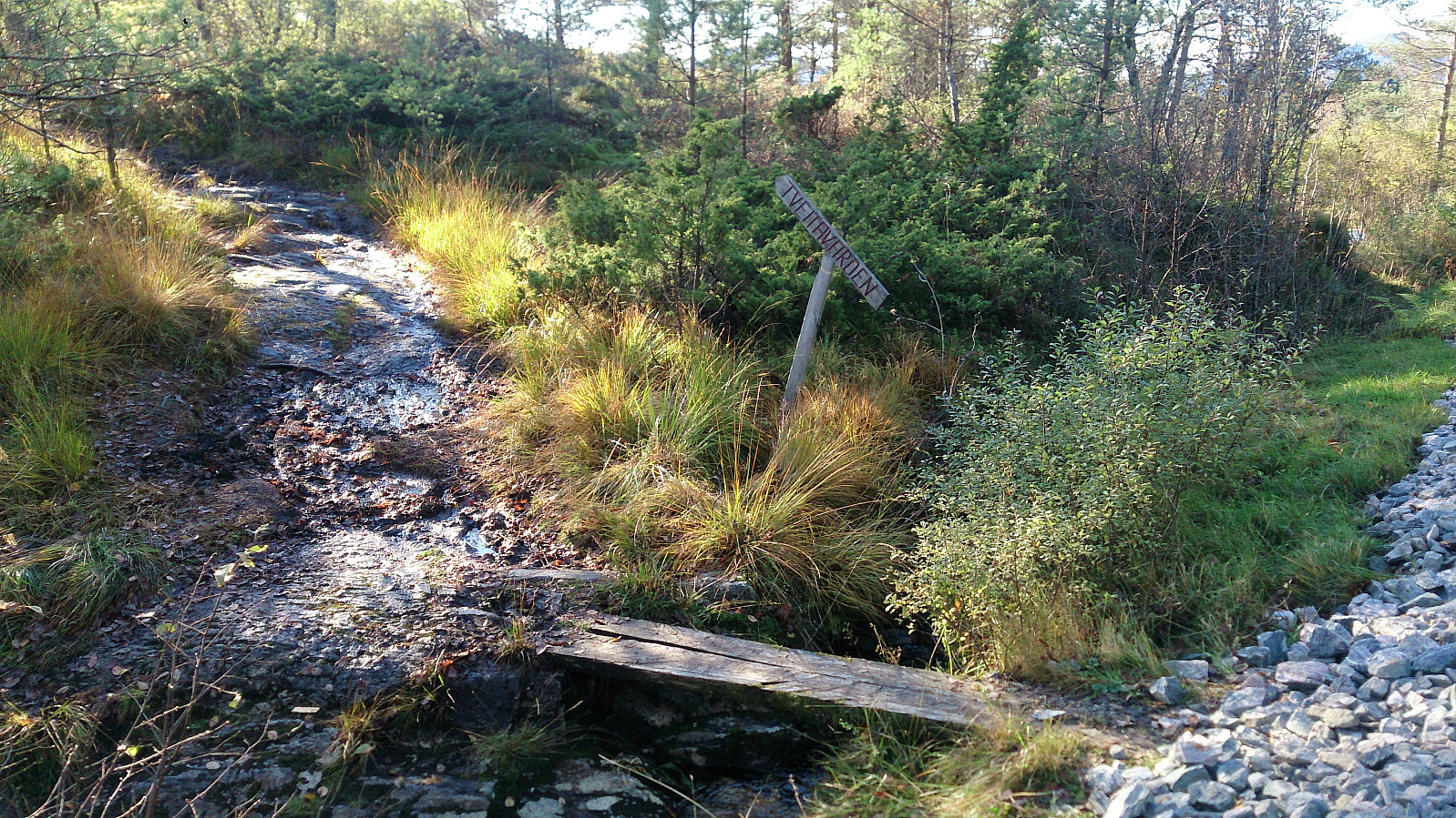
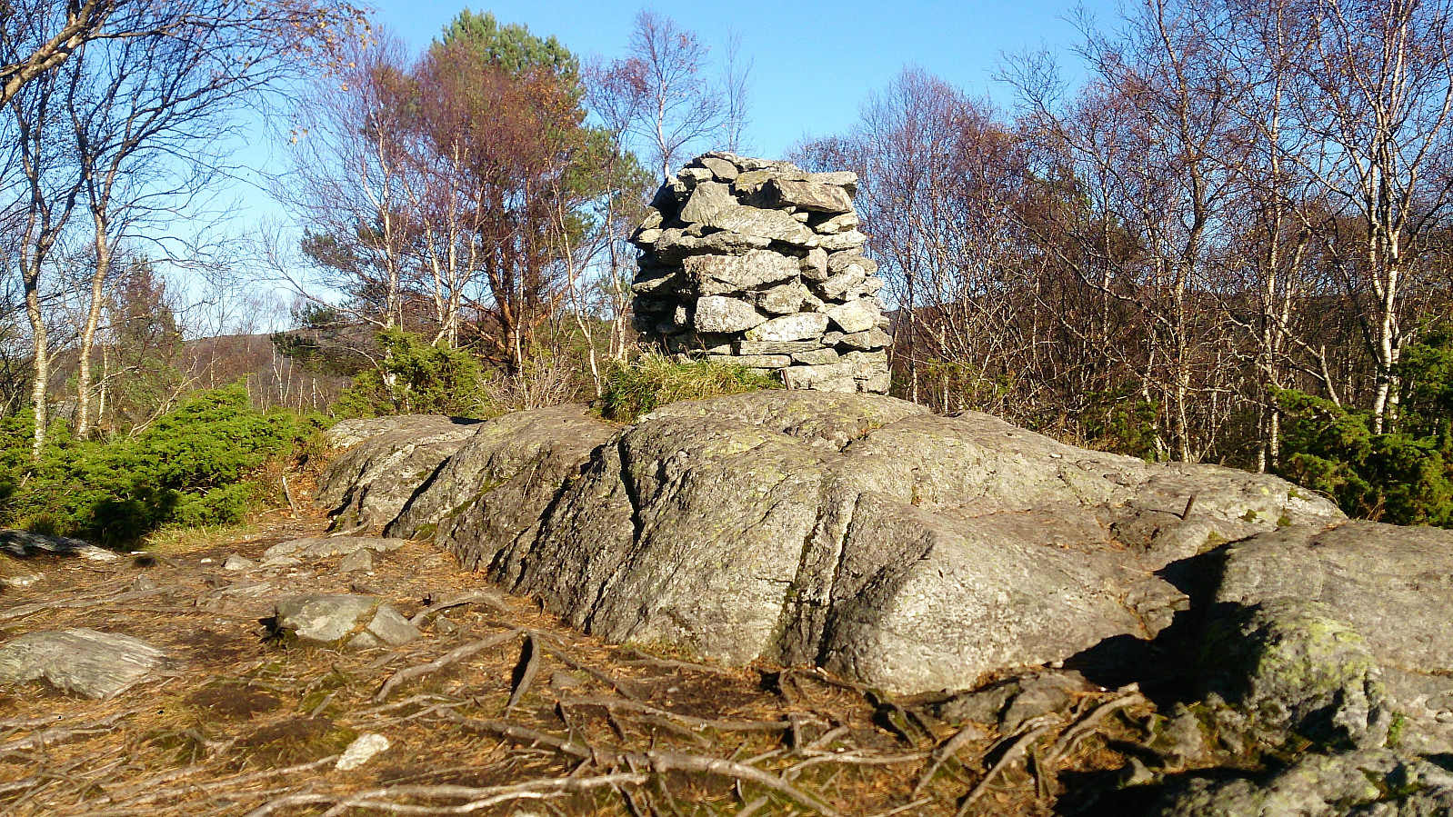
Tveitavarden
From Svarthamrane I followed the (still muddy) trail southeast to Erstadvegen, where I easily located the trail towards Tveitavarden. After a quick visit to Tveitavarden (as I had been there just a couple of months earlier), I continued south along the trails, ending up close to the roundabout north of Isdalstø. From there I followed Isdalstøbakken down to Isdalstø from where I took the bus back toward the city center.
Conclusion
This hike was a mixed bag. Excellent views along the way, but would have been much more enjoyable without the constant wet and muddy trails...
| Start date | 08.10.2017 11:55 (UTC+01:00 DST) |
| End date | 08.10.2017 16:13 (UTC+01:00 DST) |
| Total Time | 4h 17min |
| Moving Time | 3h 45min |
| Stopped Time | 0h 31min |
| Overall Average | 2.7km/h |
| Moving Average | 3.1km/h |
| Distance | 11.5km |
| Vertical meters | 484m |


User comments