
Nukane, Storsåta, Øst for Stangelifjellet and Rundemanen (23.09.2017)

Written by hbar (Harald Barsnes)

| Start point | Hesthaugen (92m) |
|---|---|
| Endpoint | Lønborg (55m) |
| Characteristic | Hillwalk |
| Duration | 5h 33min |
| Distance | 19.5km |
| Vertical meters | 1,102m |
| GPS |
|
| Ascents | Nukane (373m) | 23.09.2017 |
|---|---|---|
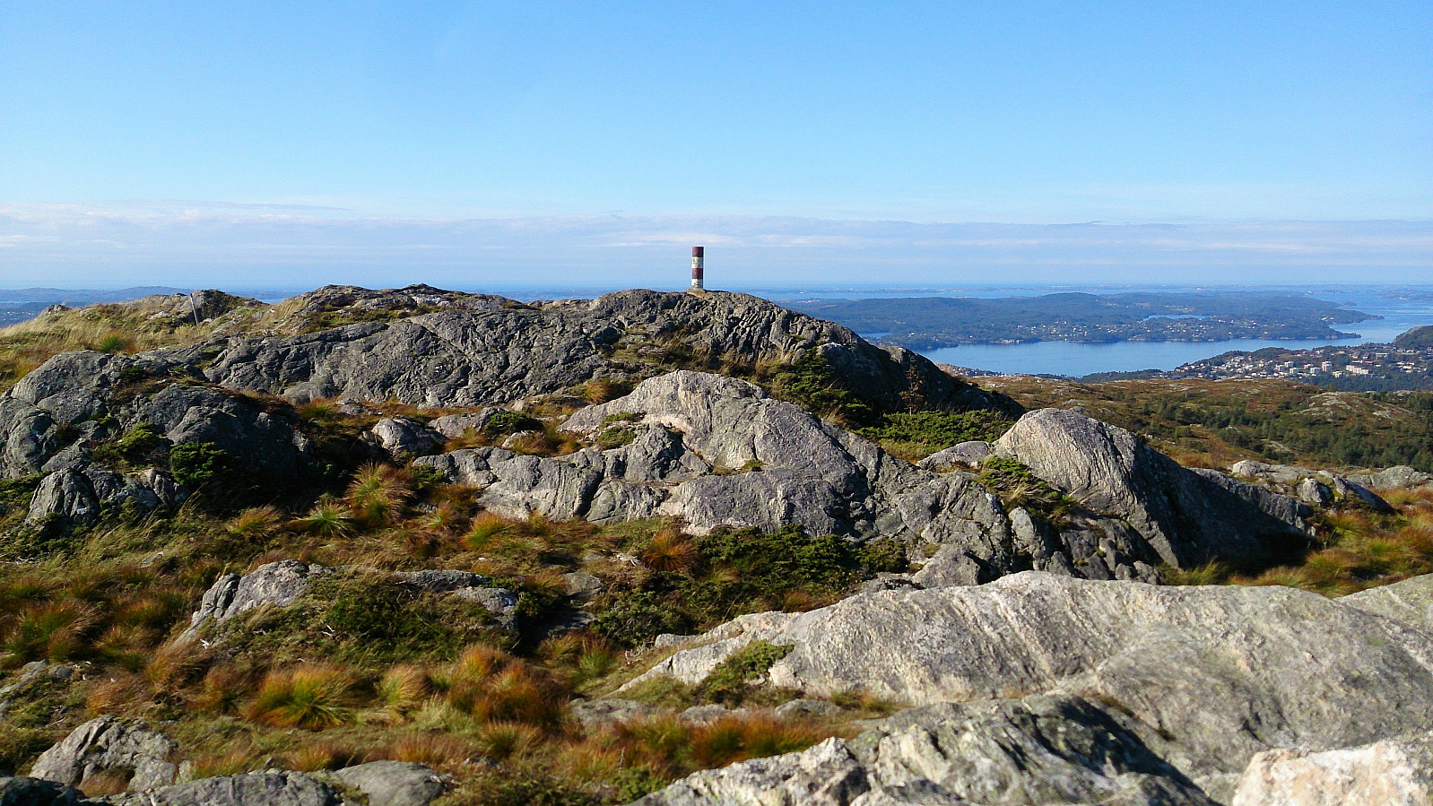
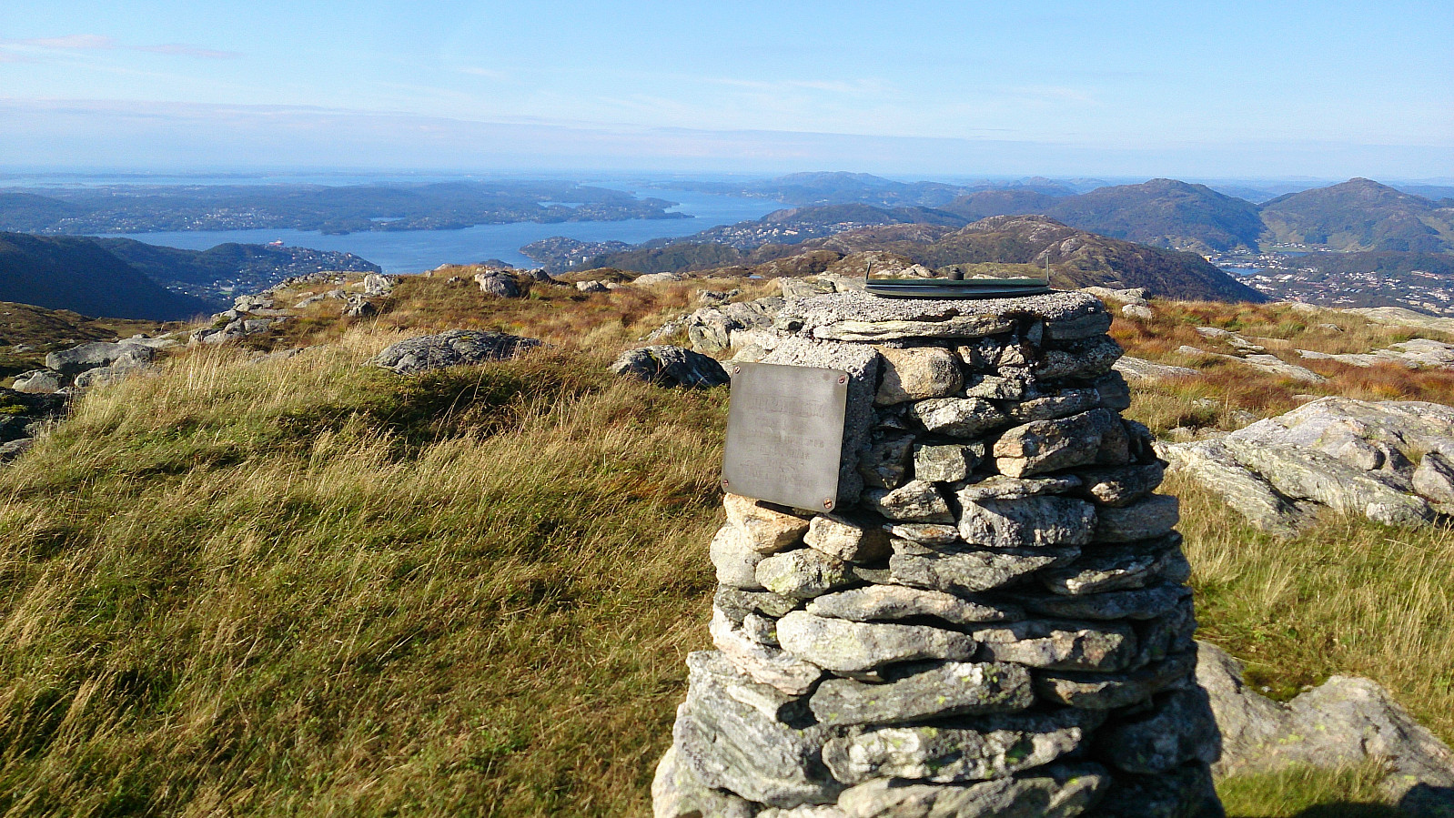
| Rundemanen (568m) | 23.09.2017 | |
| Rundemanen Vest (557m) | 23.09.2017 | |
| Storsåta (434m) | 23.09.2017 | |
| Øst for Stangelifjellet (418m) | 23.09.2017 | |
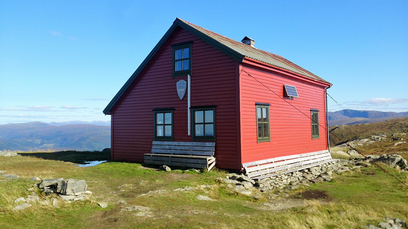
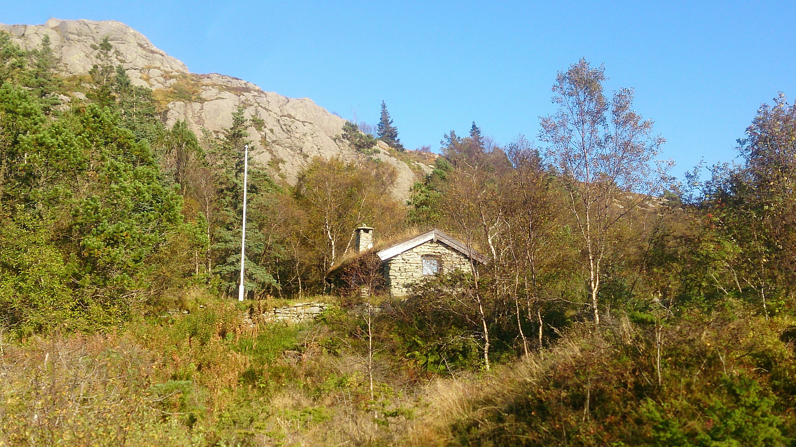
| Visits of other PBEs | Ankerhytten (403m) | 23.09.2017 |
| Bergen Radio Stasjonsbygning (553m) | 23.09.2017 | |
| Henrik Krohns utsikt (590m) | 23.09.2017 | |
| Hus vest for Rundemansmasten (546m) | 23.09.2017 | |
| Ishuset ved Langevatnet (127m) | 23.09.2017 | |
| Vikinghytten (590m) | 23.09.2017 |
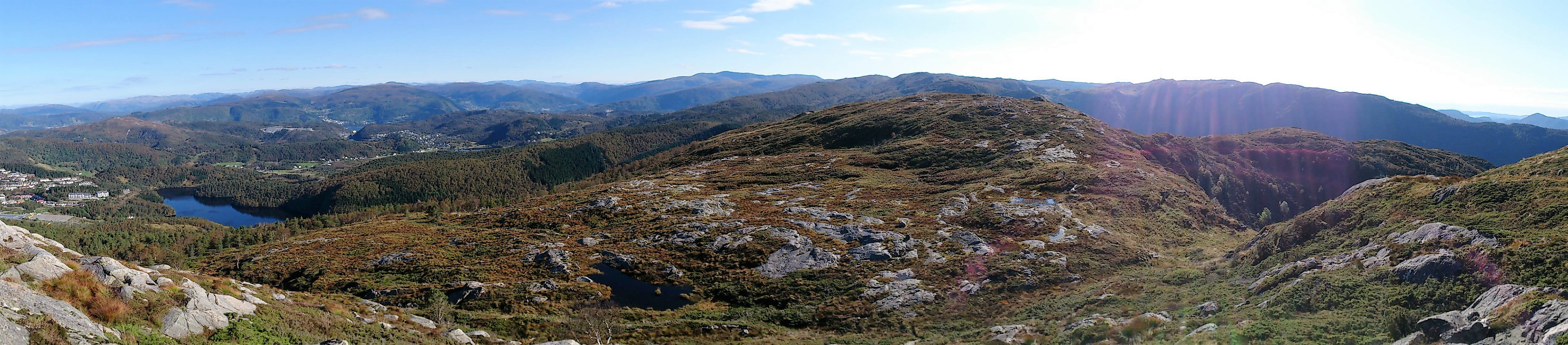
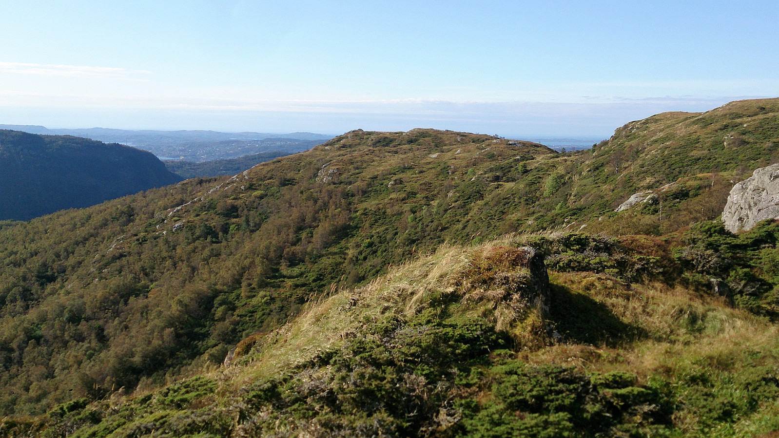
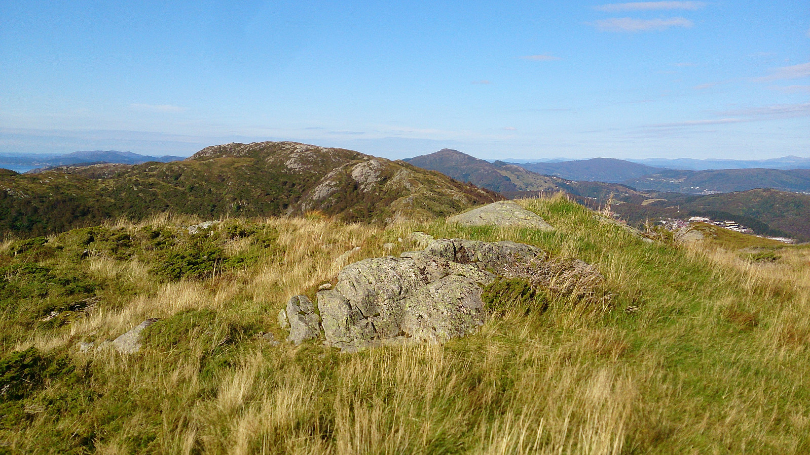
Nukane, Storsåta, Øst for Stangelifjellet and Rundemanen
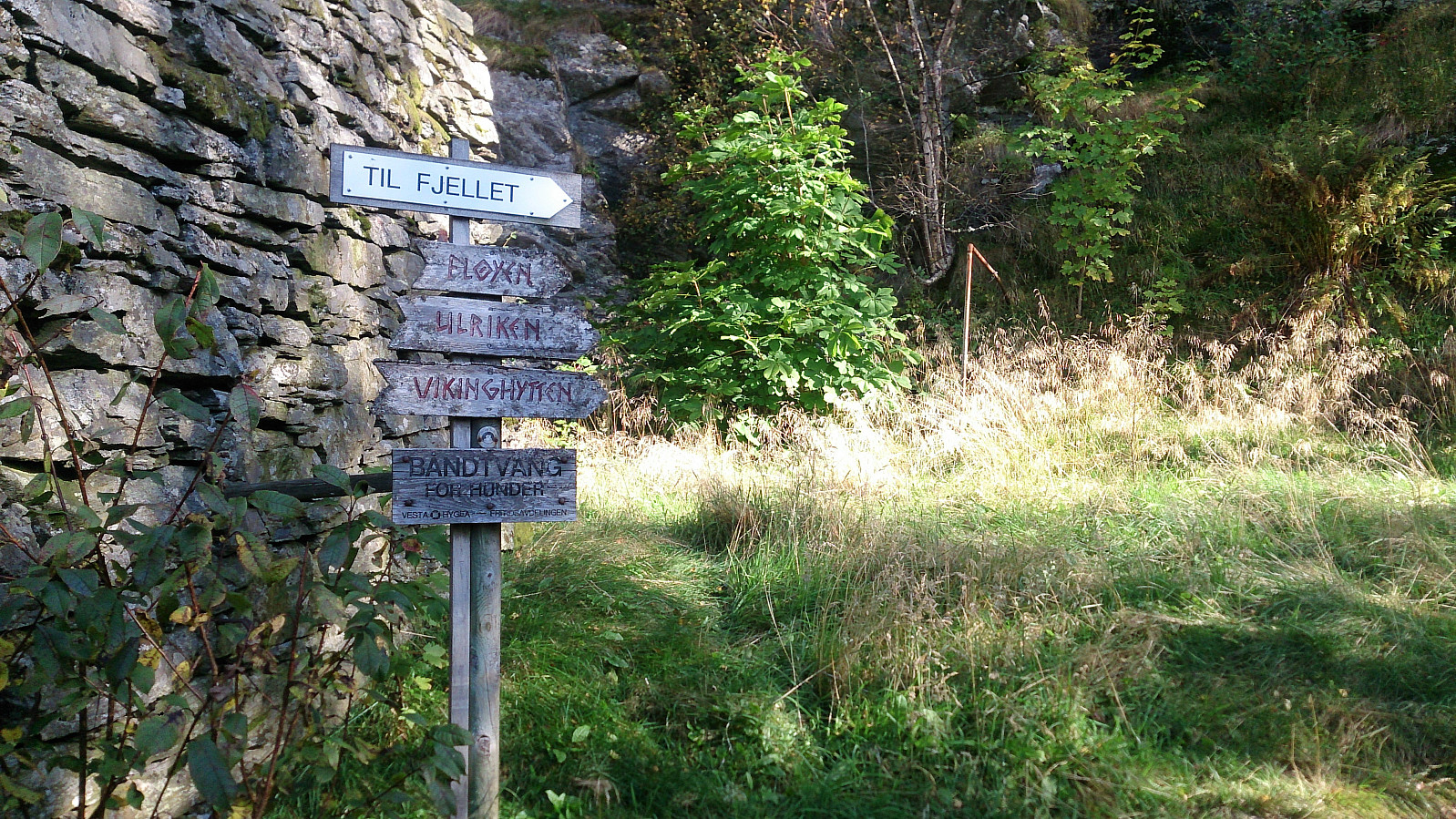
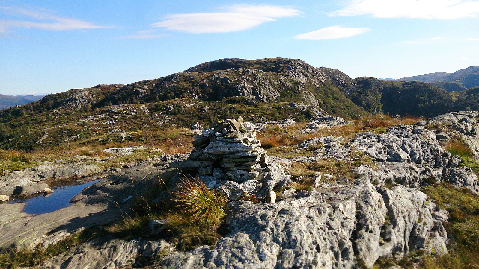
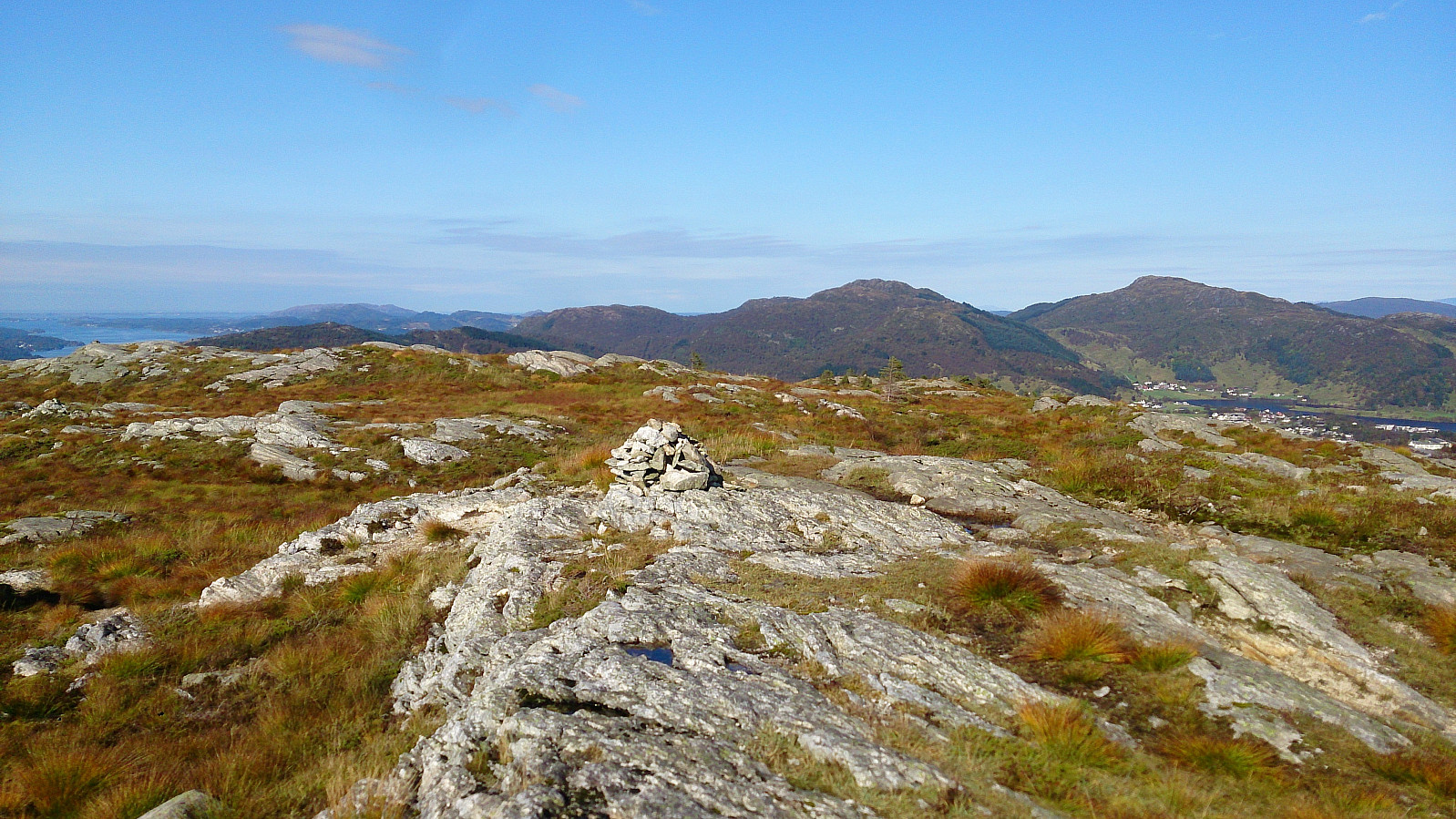
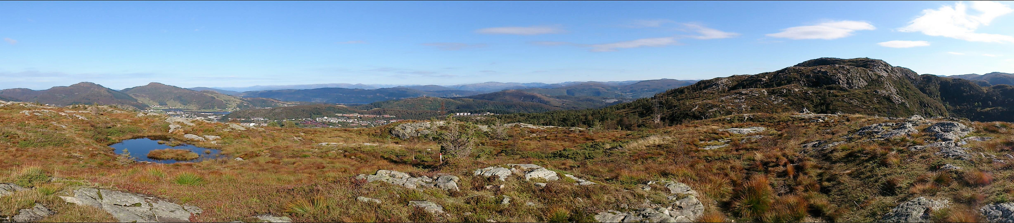
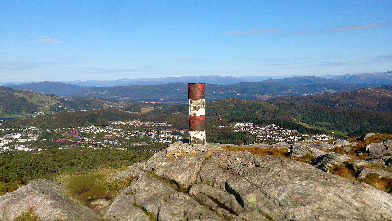
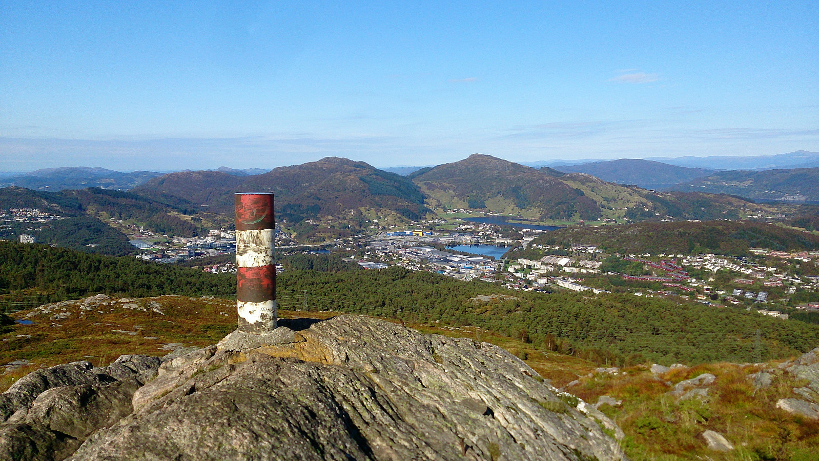
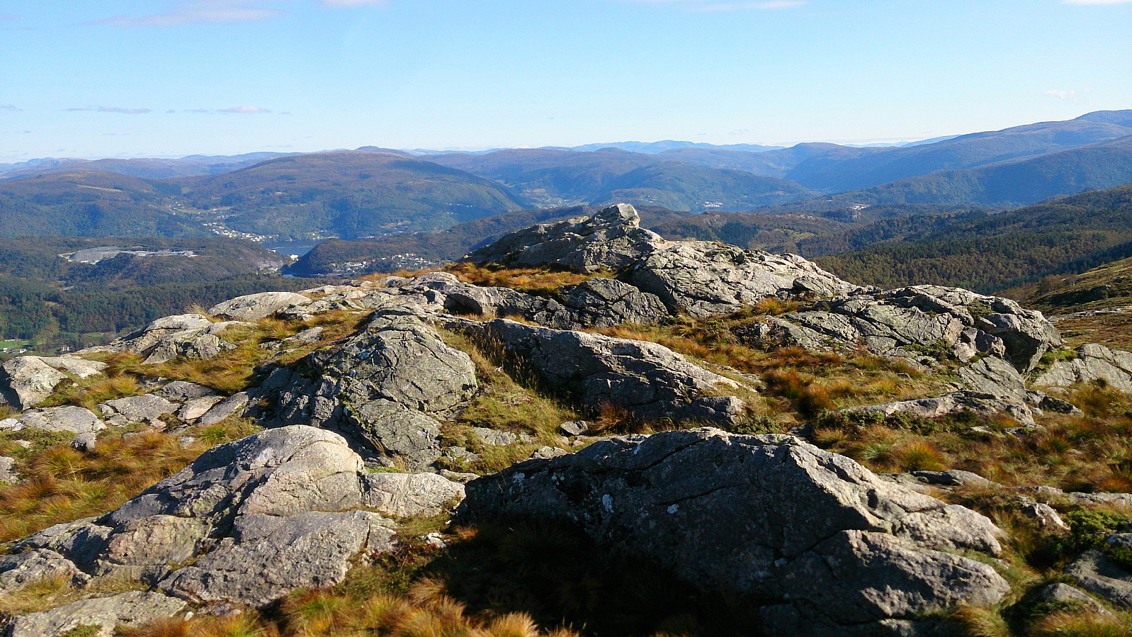
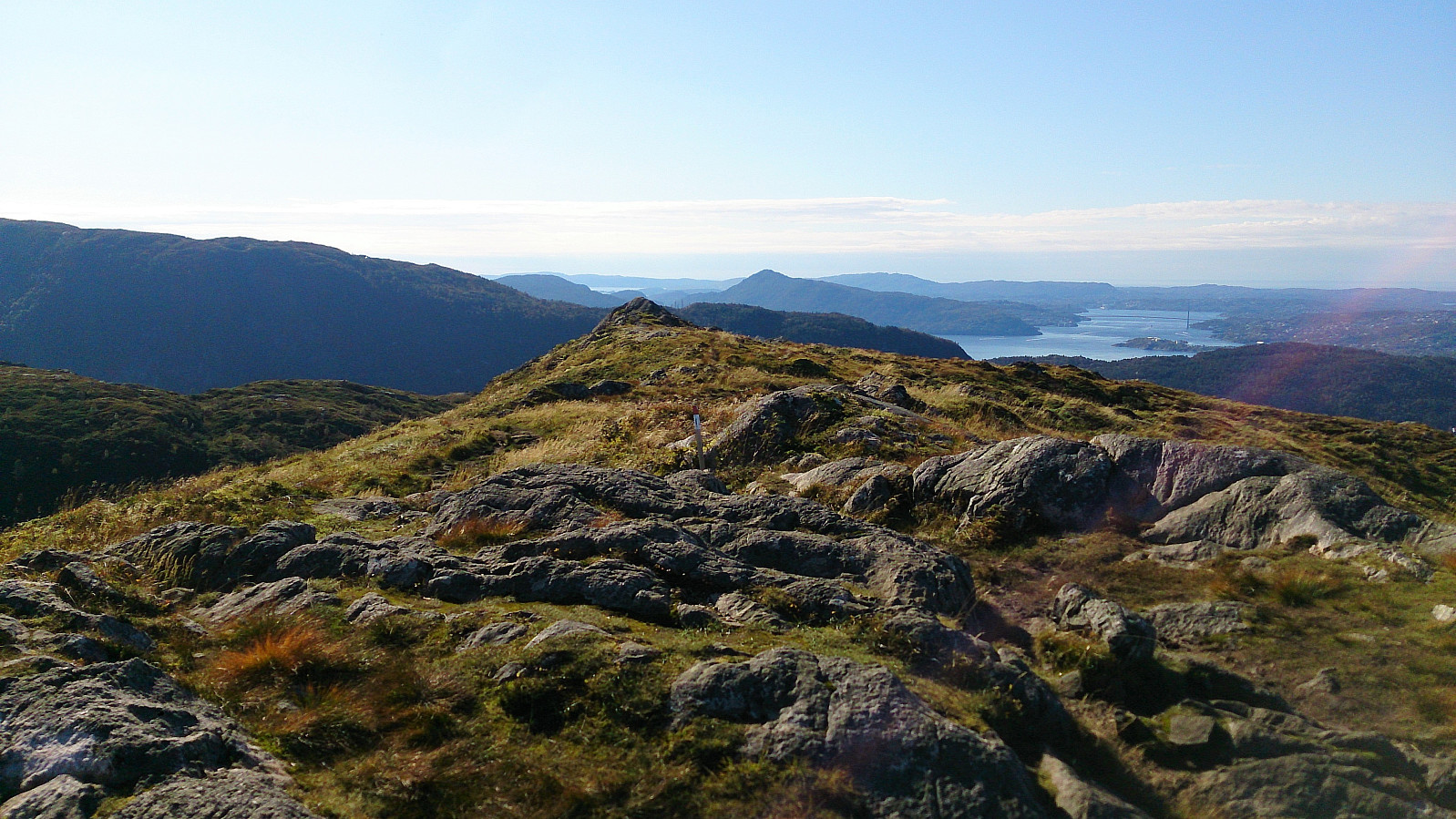
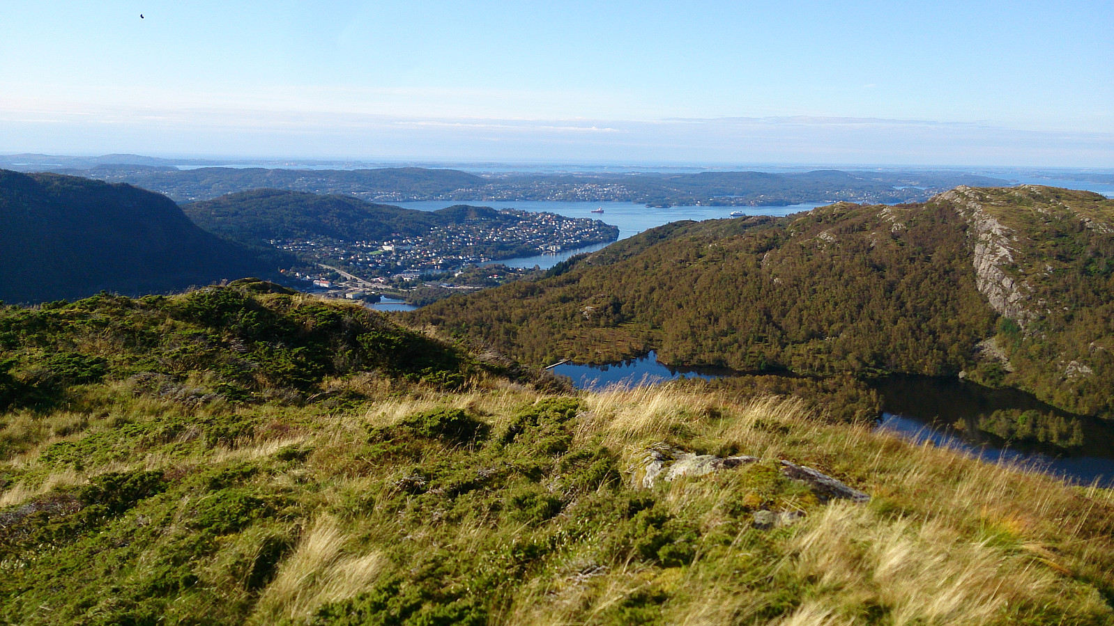
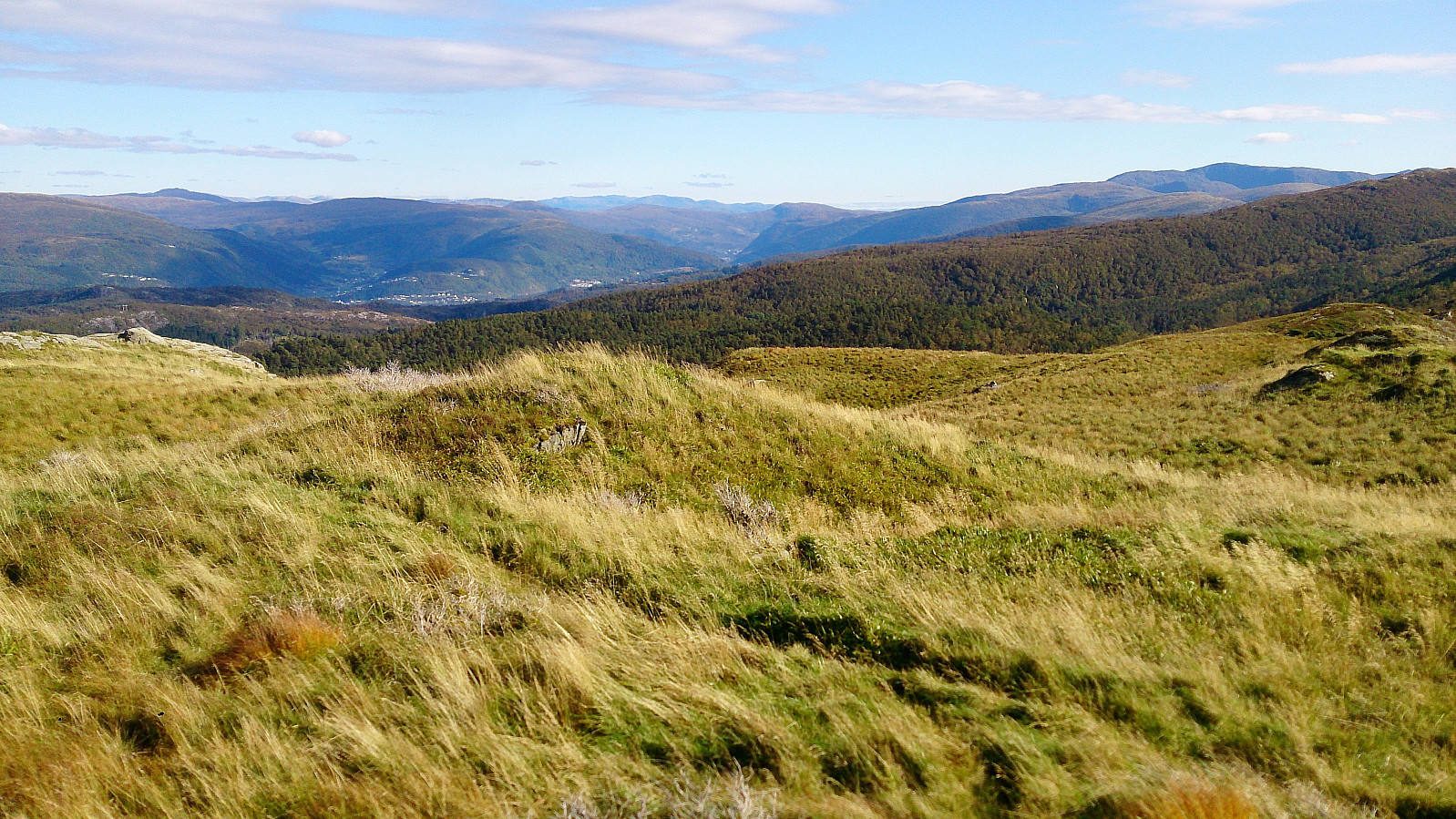
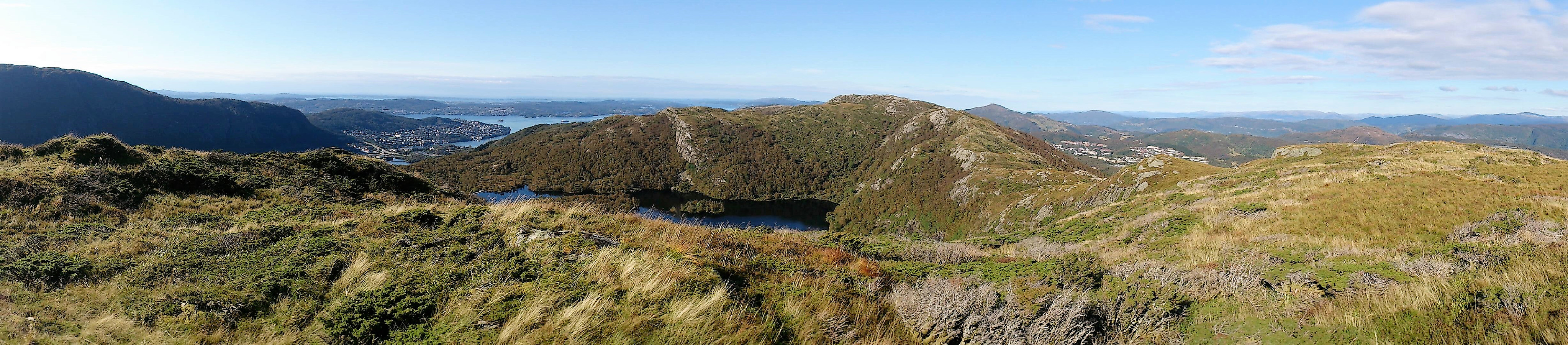
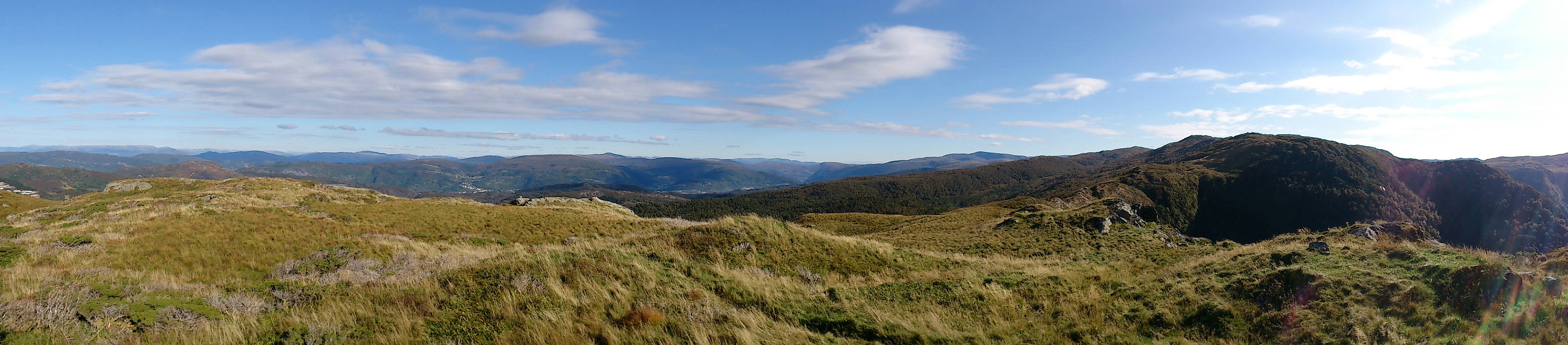
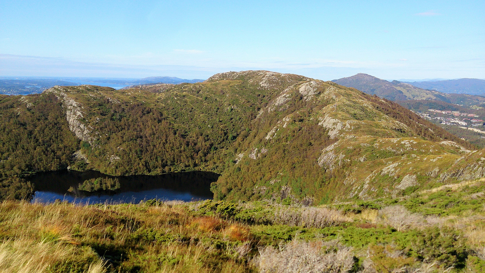
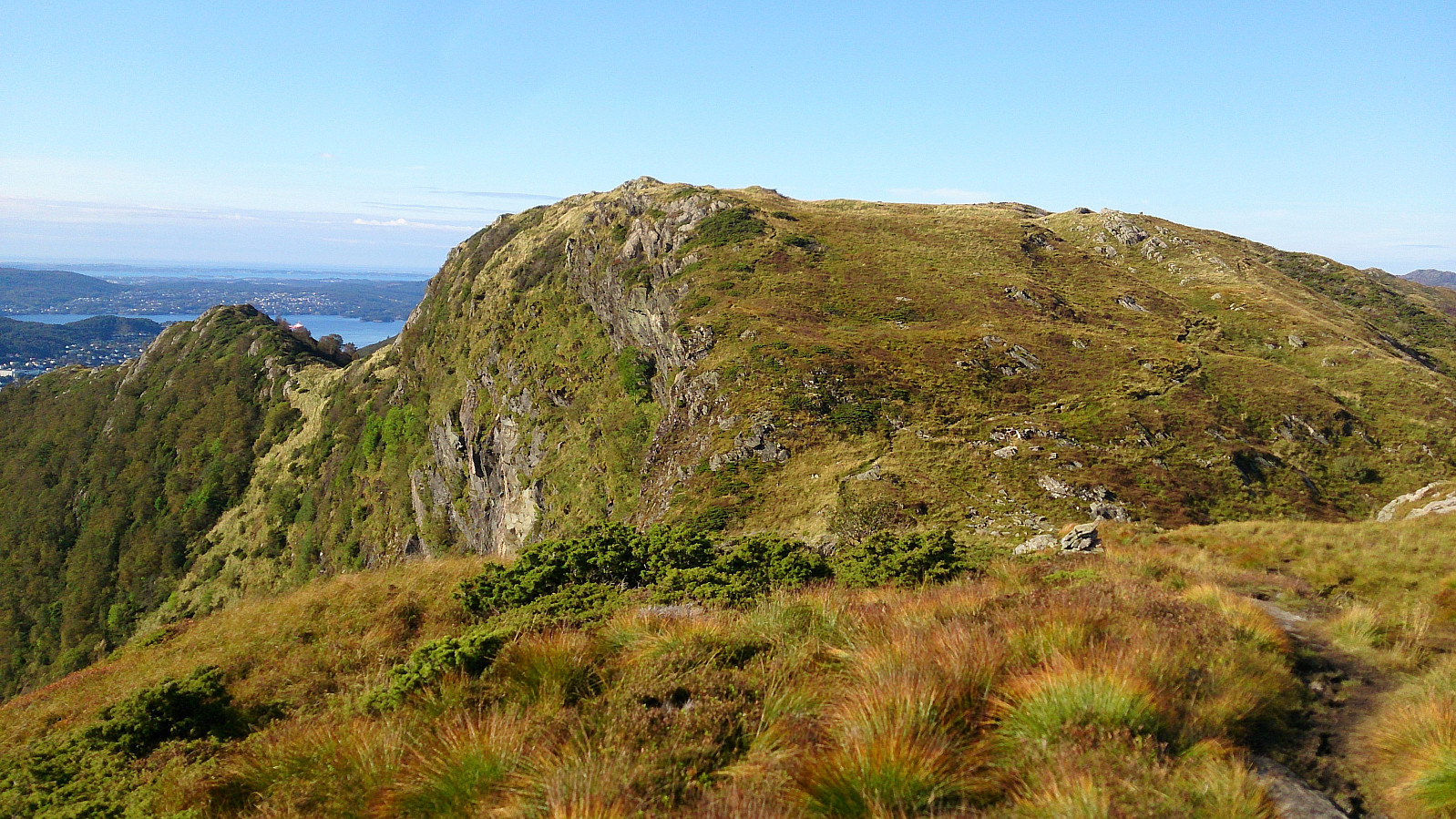
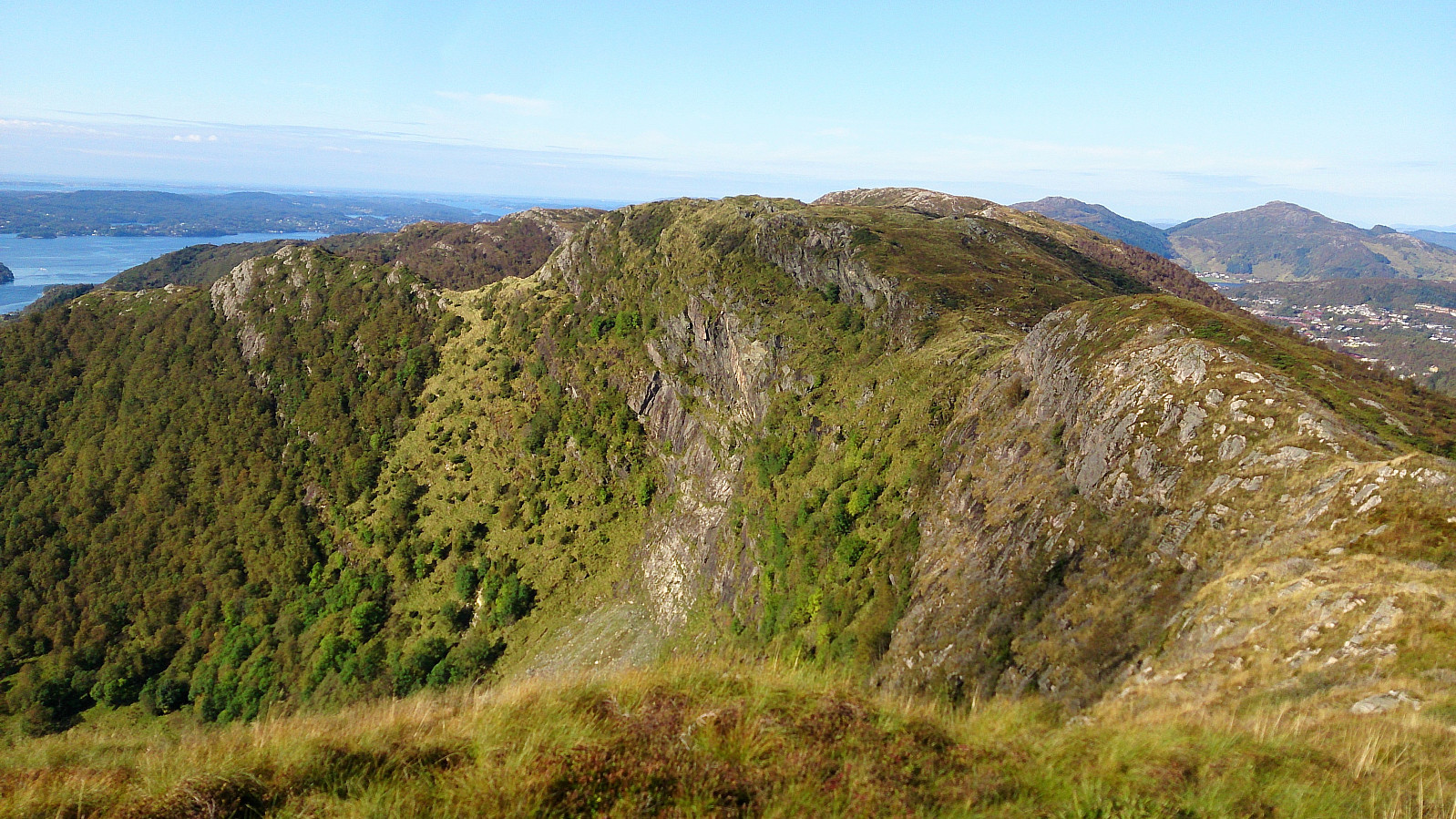
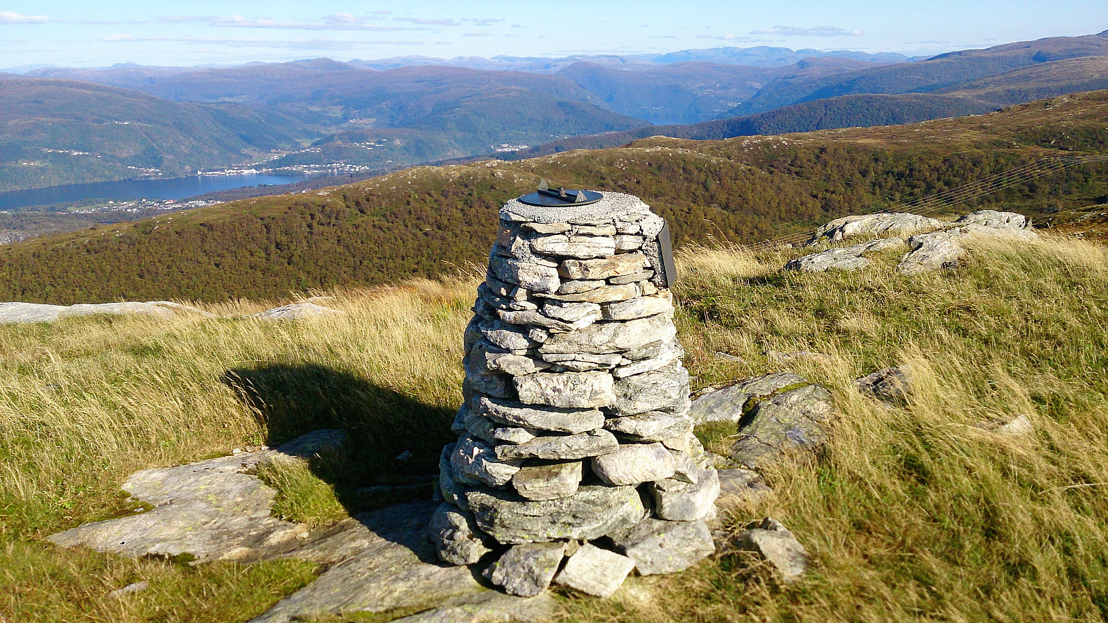
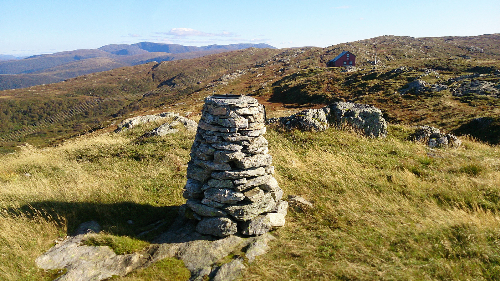
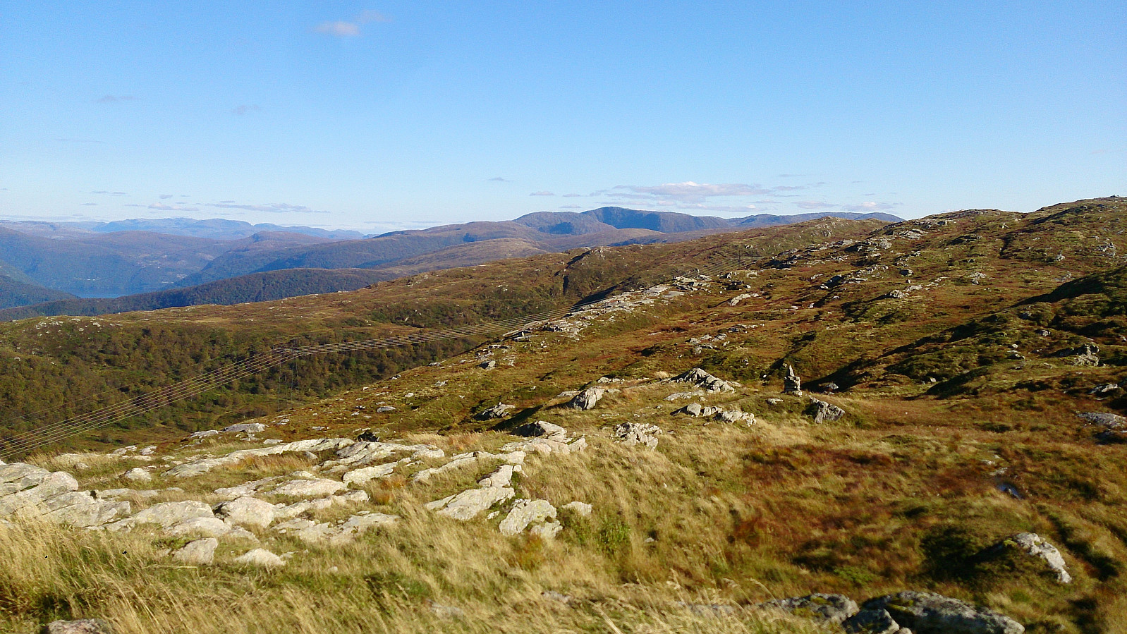
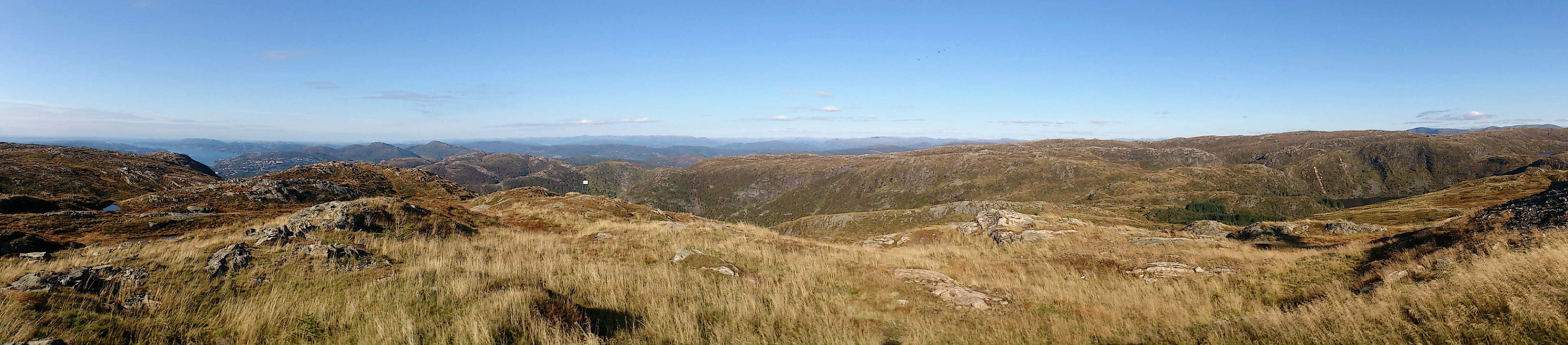
Started by taking the bus to Hesthaugen and from there walked up to Kolåsen to locate the trailhead. (Note the sharp left in between the two buildings that is needed to find the sign and the trailhead. See GPS track for details.) I then followed the trail southeast across Nukane, Storsåta and Stangelifjellet to arrive at Vikinghytten, before turning west to Rundemanen.
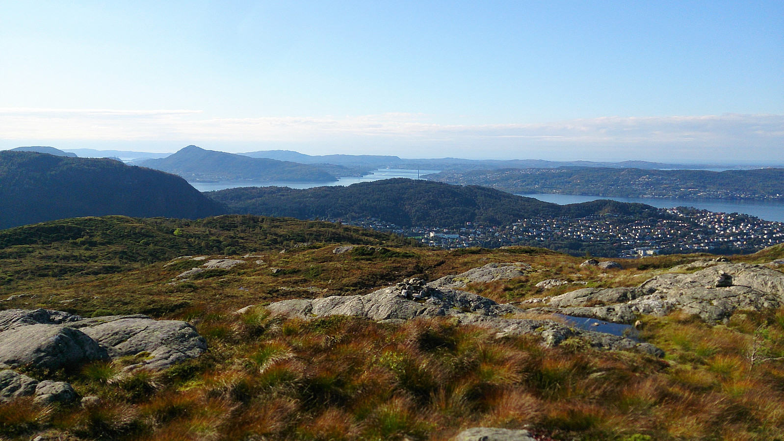
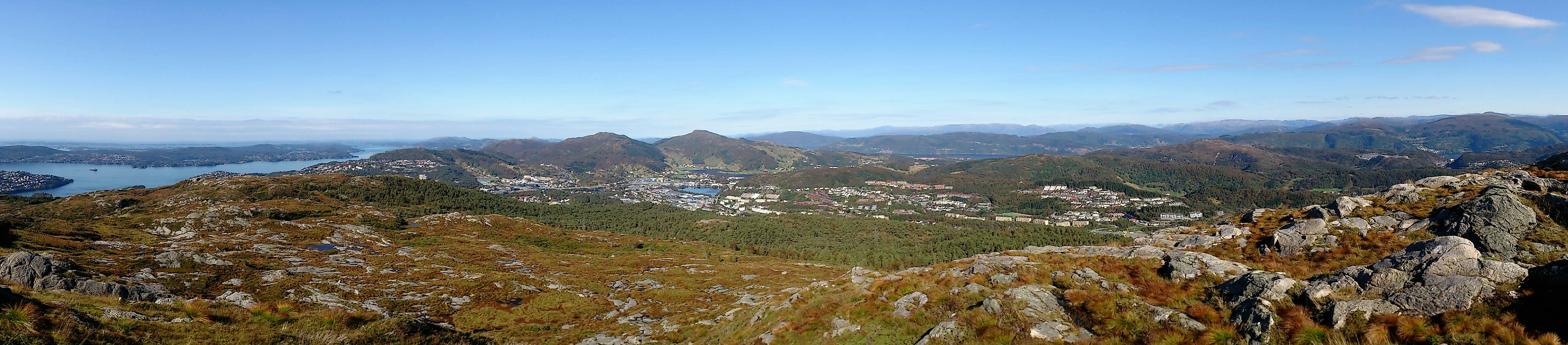
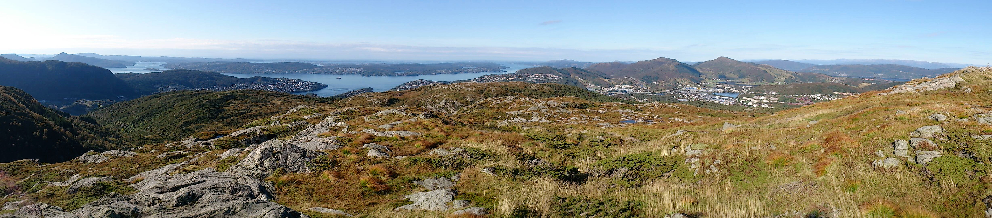
From Rundemanen I headed northwest, passing by Ankerhytten on the way down to Munkebotsvatnet, before following the roads on the Eidsvåg-side of Eidsvågfjellet, ending with walking down Fagerbakken to Helleveien.
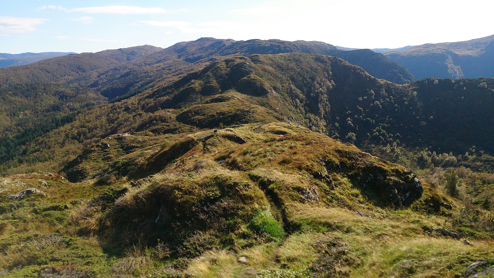
All in all, a very nice hike along overall good trails, the clear exception being the first part of the trail down from Ankerhytten, which on this day felt more like a muddy river than a trail.
| Start date | 23.09.2017 12:19 (UTC+01:00 DST) |
| End date | 23.09.2017 17:52 (UTC+01:00 DST) |
| Total Time | 5h 33min |
| Moving Time | 5h 23min |
| Stopped Time | 0h 10min |
| Overall Average | 3.5km/h |
| Moving Average | 3.6km/h |
| Distance | 19.5km |
| Vertical meters | 1,102m |


User comments