
Hetlebakksåta, Breisteinsåta and Erviknipa (18.09.2017)

Geschrieben von hbar (Harald Barsnes)

| Startpunkt | Myrsæter (58m) |
|---|---|
| Endpunkt | Gaupåsvegen (69m) |
| Tourcharakter | Bergtour |
| Tourlänge | 2h 35min |
| Entfernung | 6,8km |
| Höhenmeter | 381m |
| GPS |
|
| Besteigungen | Breisteinsåta (331m) | 18.09.2017 |
|---|---|---|
| Erviknipa (268m) | 18.09.2017 | |
| Hetlebakksåta (334m) | 18.09.2017 | |
| Besuche anderer PBE | Erviknipa utsiktspunkt (255m) | 18.09.2017 |
| Liafjellet (221m) | 18.09.2017 |
Hetlebakksåta, Breisteinsåta and Erviknipa
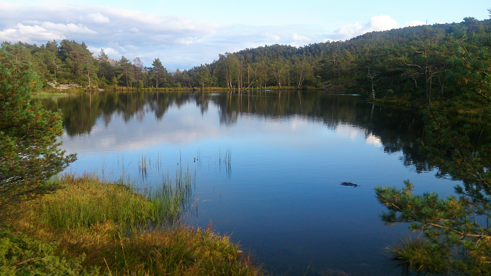
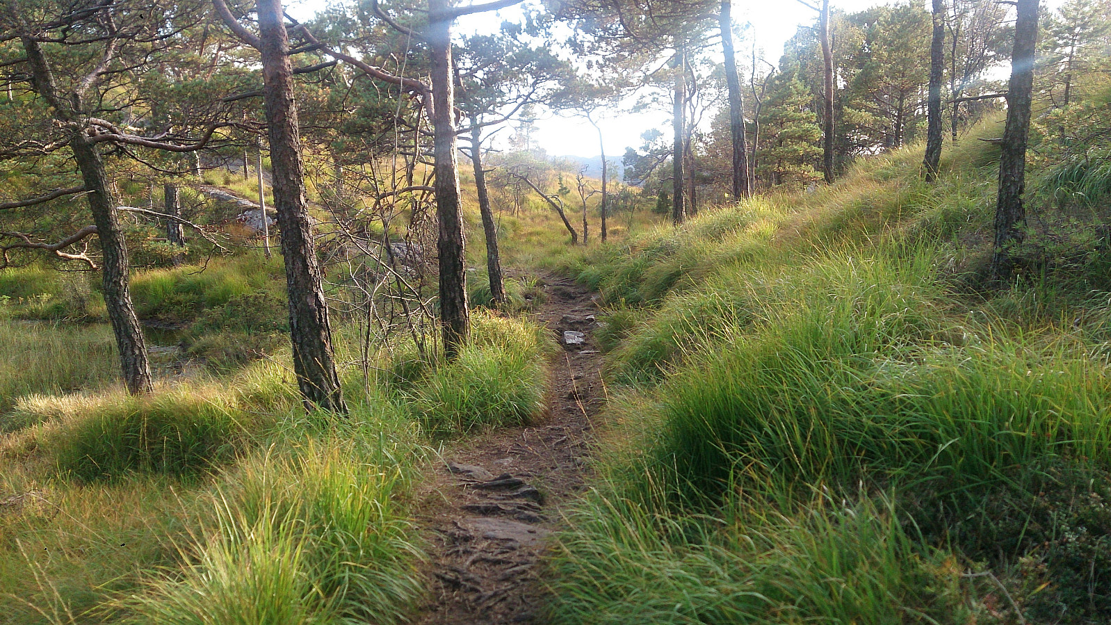
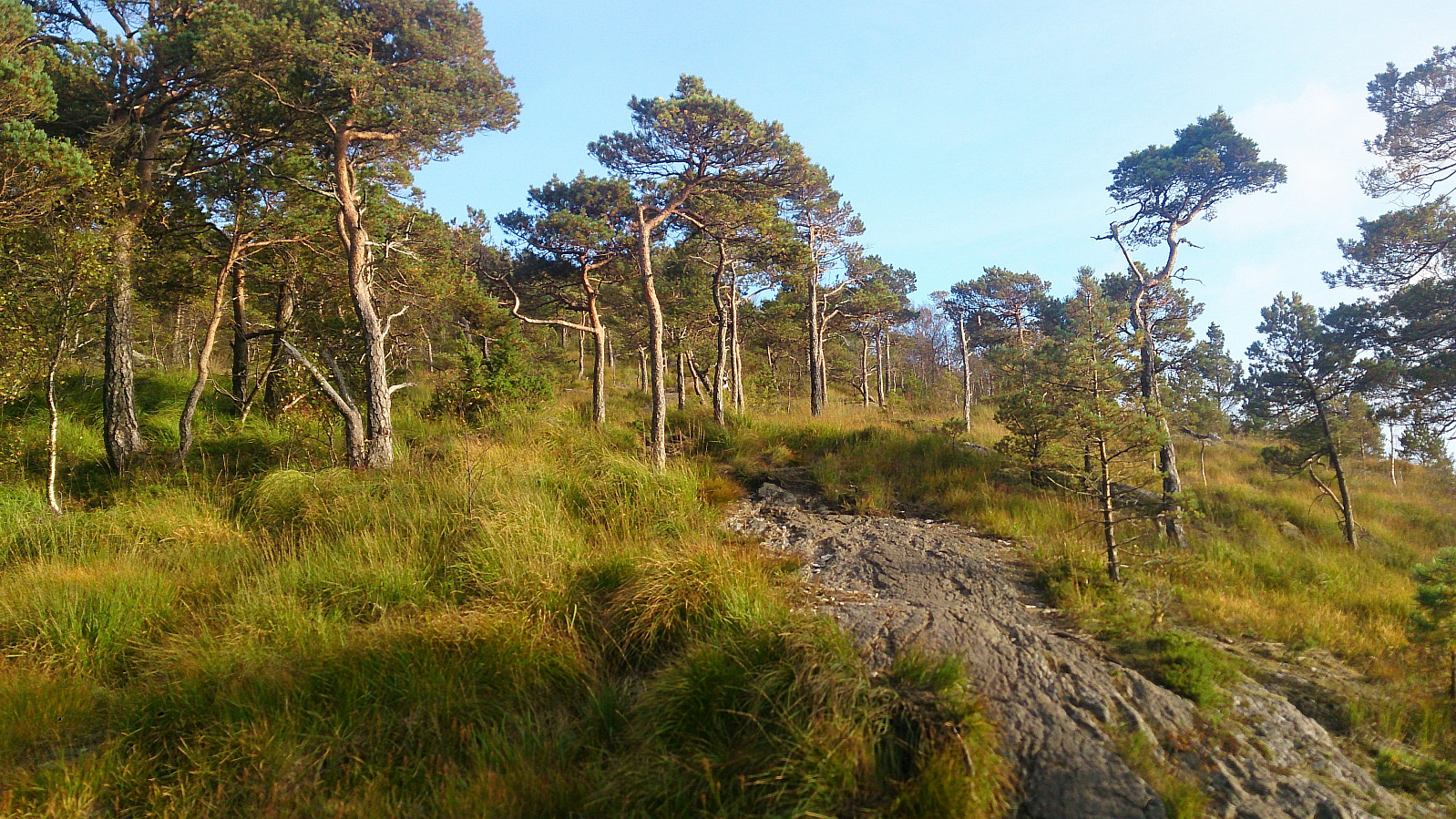
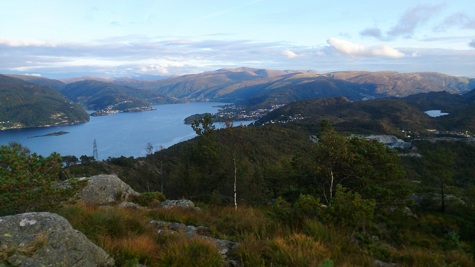
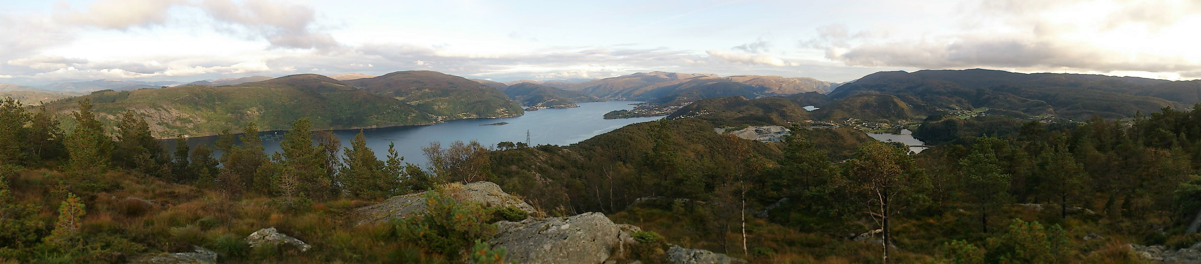
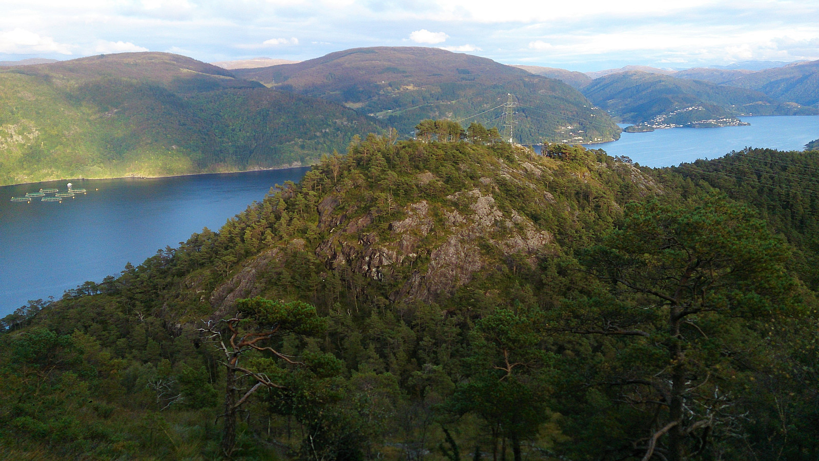
Started by taking the bus to Myrsæther and walking along Breisteinsvegen, Leikvangvegen and finally Litlaskarstien to arrive at the unmarked trailhead. We then followed a nice trail through the pine forrest up to Hetlebakksåta, and also included a quick visit to Breisteinsåta before continuing down the relatively steep trail towards Erviknipa.
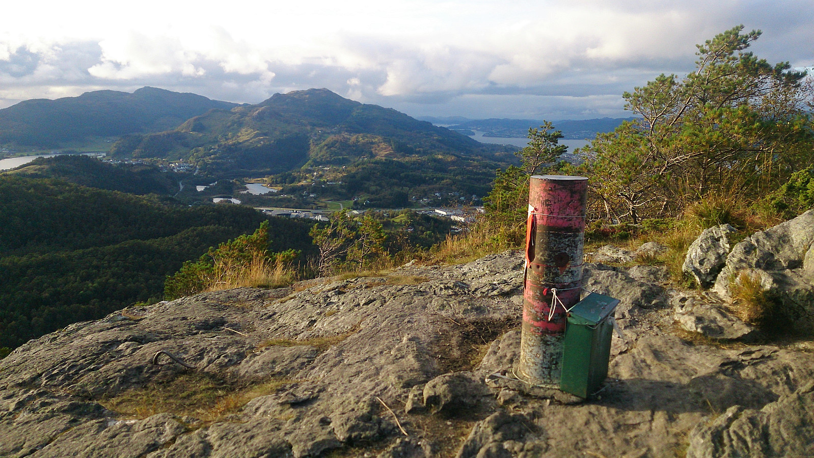
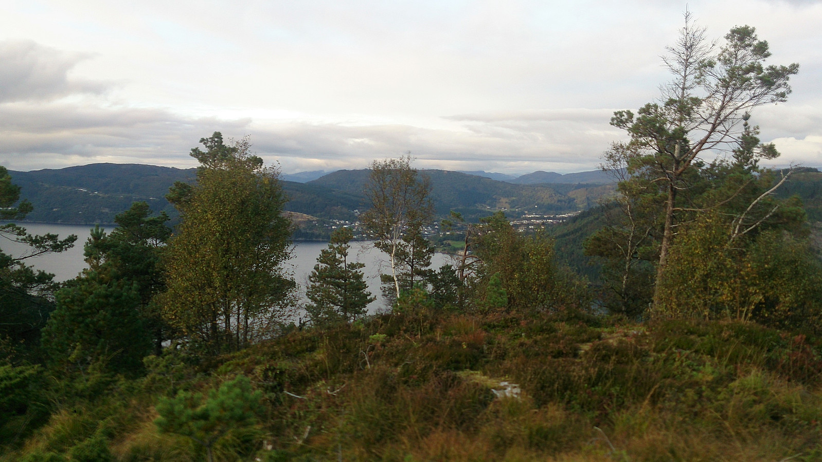
From Erviknipa we followed the trail south, ending up at the top of Tuftadalen, from where we followed the paved road down to Gaupåsvegen for the bus back to the city center. Overall, a nice short hike with great views along the way that can highly recommended.

| Startzeitpunkt | 18.09.2017 16:41 (UTC+01:00 SZ) |
| Endzeitpunkt | 18.09.2017 19:17 (UTC+01:00 SZ) |
| Gesamtzeit | 2h 35min |
| Zeit in Bewegung | 2h 22min |
| Pausenzeit | 0h 13min |
| Gesamtschnitt | 2,6km/h |
| Bewegungsschnitt | 2,9km/h |
| Entfernung | 6,8km |
| Höhenmeter | 380m |


Benutzerkommentare