
Hananipa, Raudnipa, Raudfjell and Krånipa (16.09.2017)

Skrevet av hbar (Harald Barsnes)

| Startsted | Trengereid train station (17moh) |
|---|---|
| Sluttsted | Trengereid train station (17moh) |
| Turtype | Fjelltur |
| Turlengde | 7t 00min |
| Distanse | 20,6km |
| Høydemeter | 1376m |
| GPS |
|
| Bestigninger | Hananipa (717moh) | 16.09.2017 |
|---|---|---|
| Krånipa (707moh) | 16.09.2017 | |
| Krånipa NV (703moh) | 16.09.2017 | |
| Raudfjell (671moh) | 16.09.2017 | |
| Raudnipa (711moh) | 16.09.2017 | |
| Andre besøkte PBE'er | Trengereid stasjon (16moh) | 16.09.2017 |
Hananipa, Raudnipa, Raudfjell and Krånipa

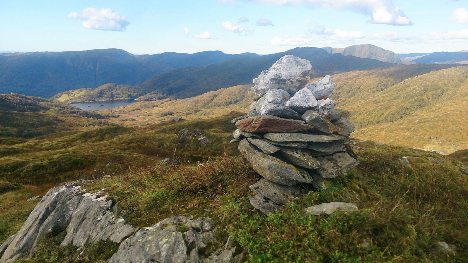
Hananipa
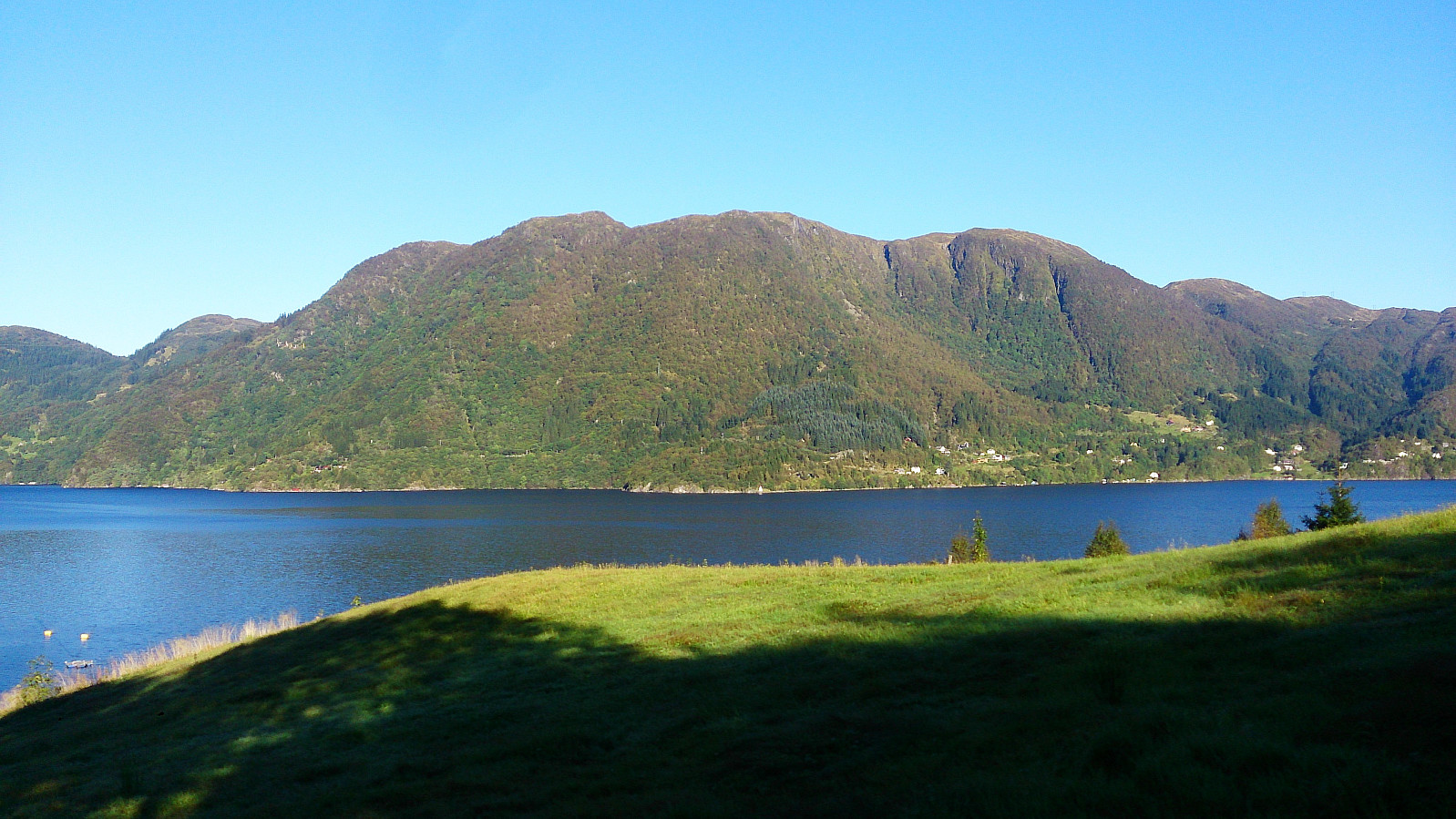
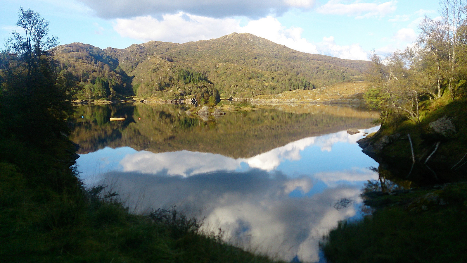
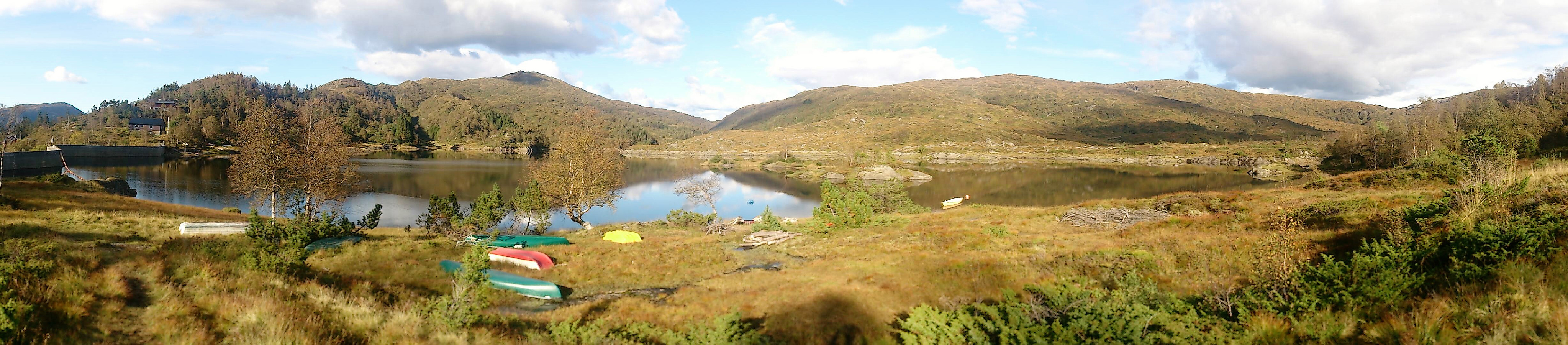
Started by taking the train to Trengereid and from there walking up to the trailhead at Skulstadvatnet. This included an almost 400 meters ascent, but the winding road made it into a quite nice and not too tough start. Note that there are a couple of possible shortcuts at the start, so be sure to look out for these.
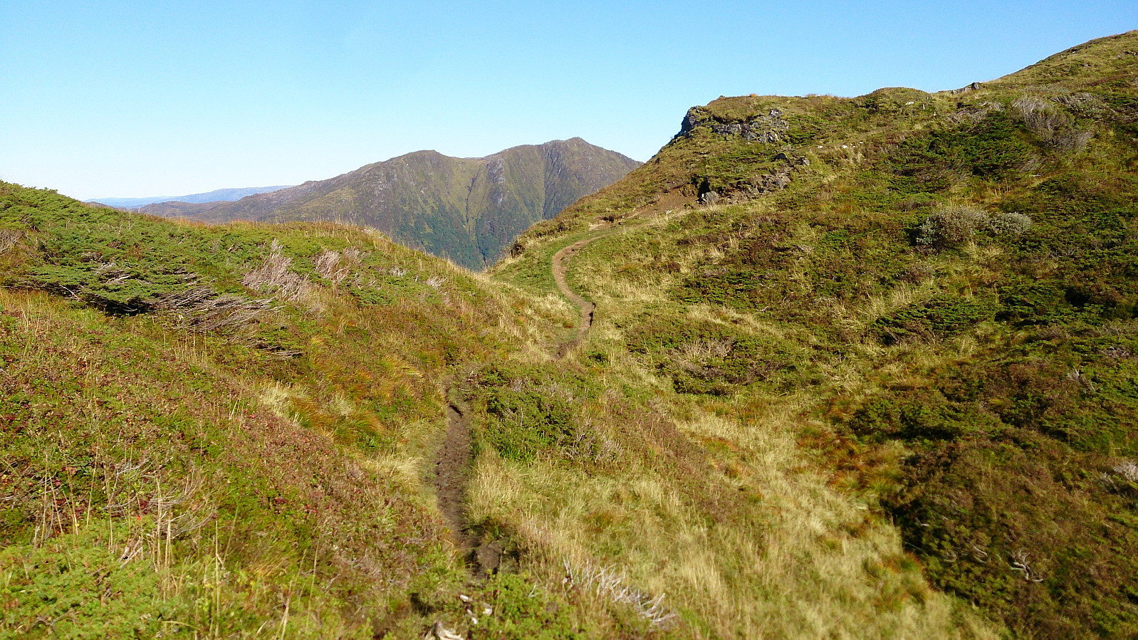
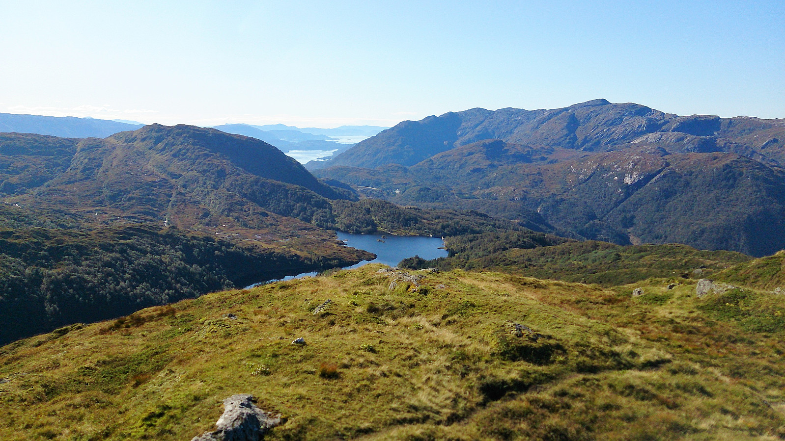
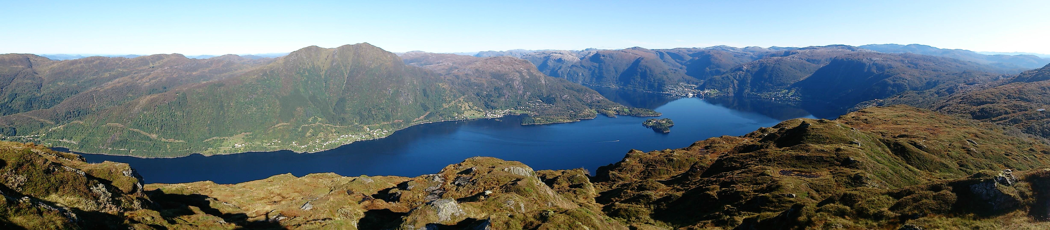
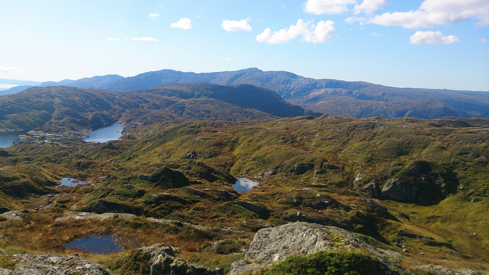
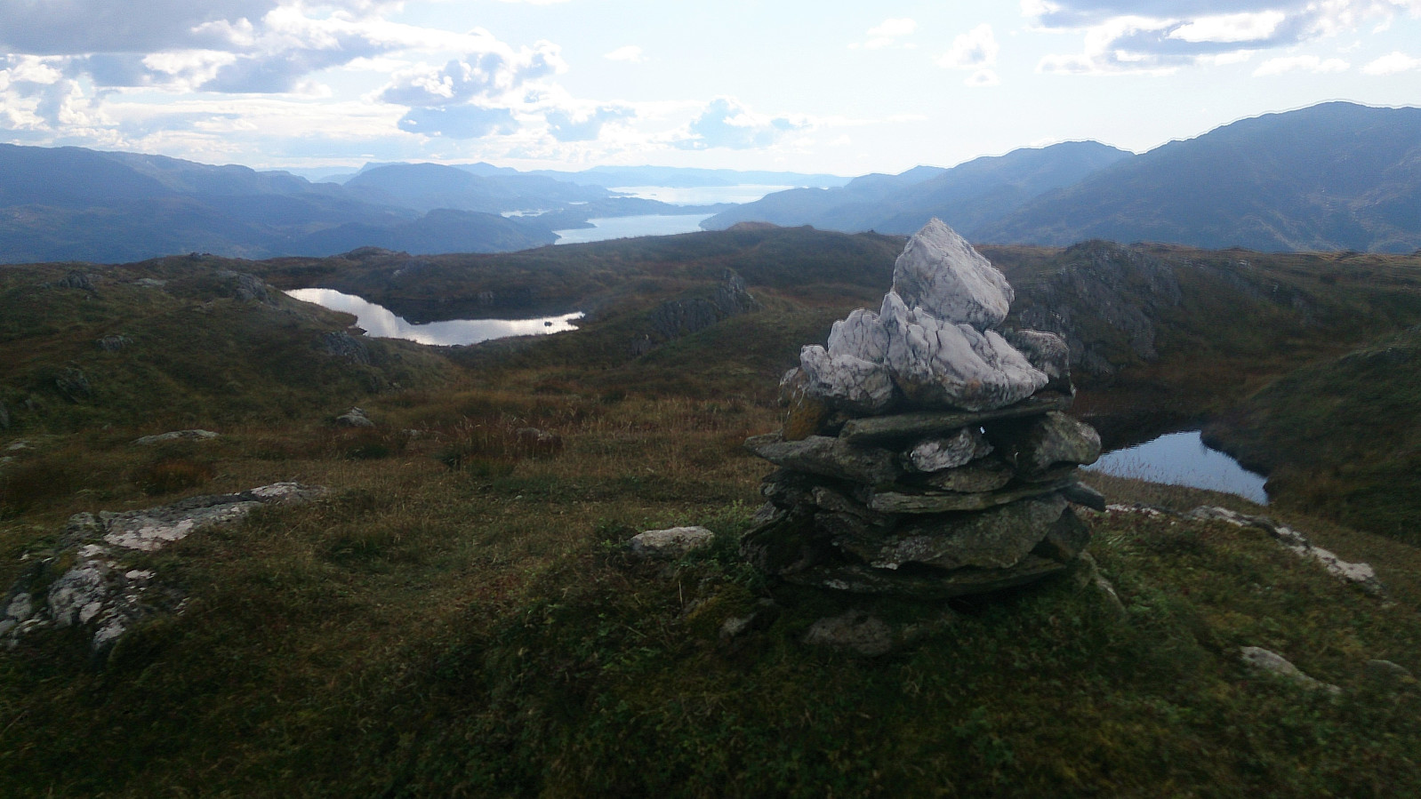
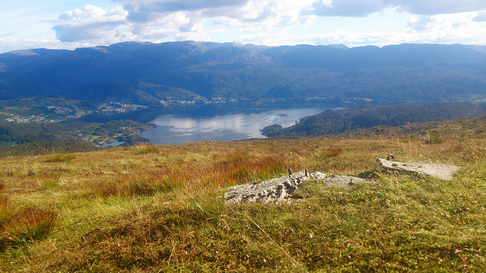
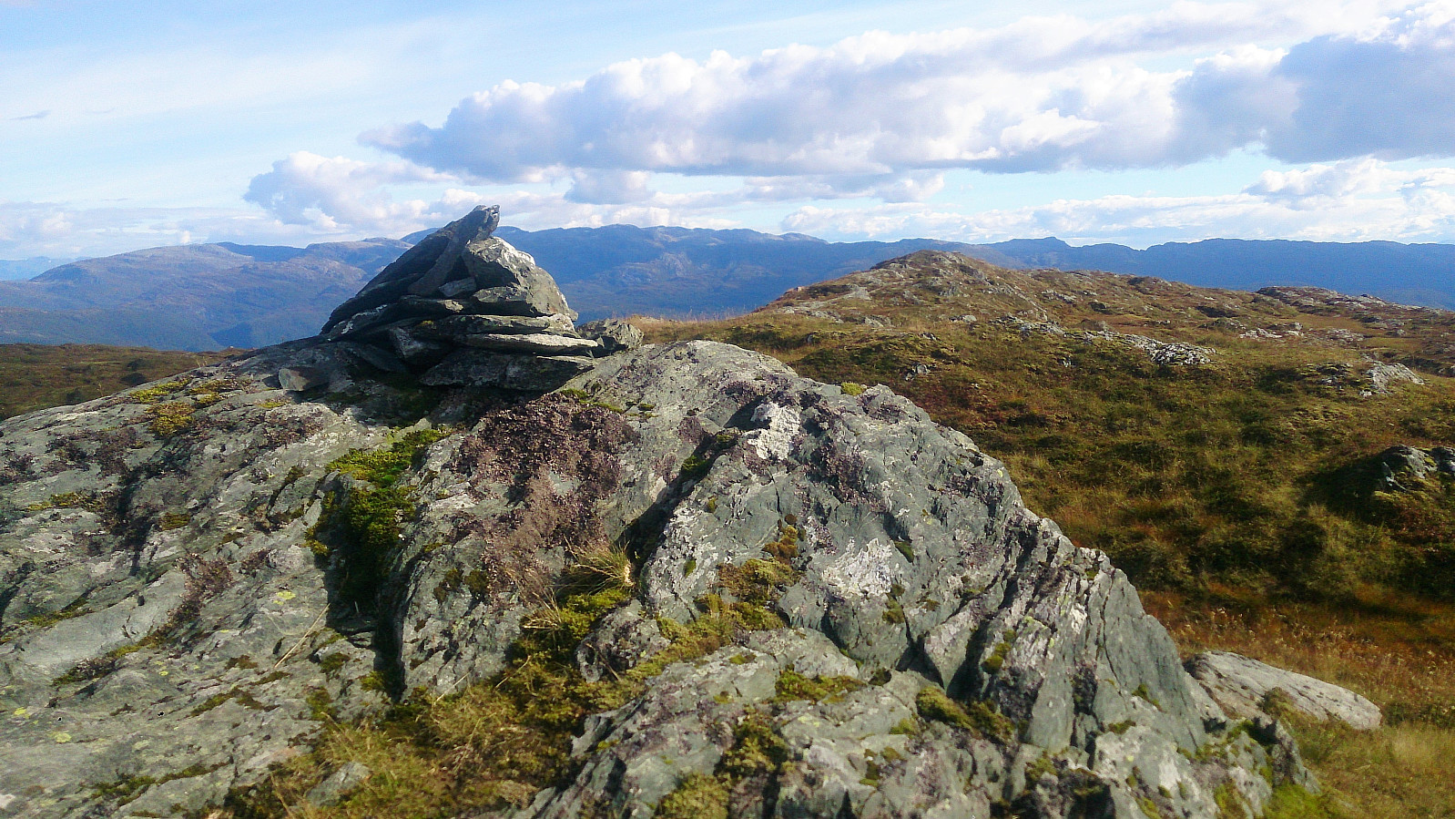
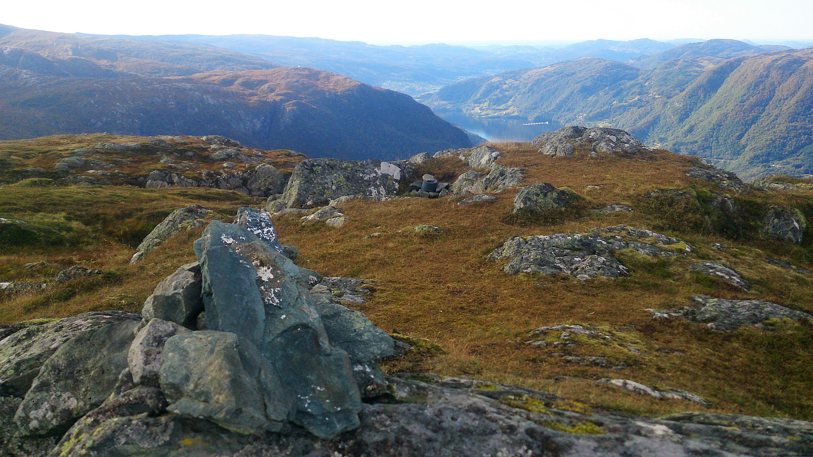
Upon reaching Skulstadvatnet I turned left, and followed the very nice trail towards Hananipa. First alongside Skulstadvatnet and later along the ridge, all the time with excellent views. The quality of the trail was overall very good and I quickly found myself at the summit for spectacular views in all directions. I continued north across the summit to the cairn and some even better views towards Osterøy and Vaksdal.
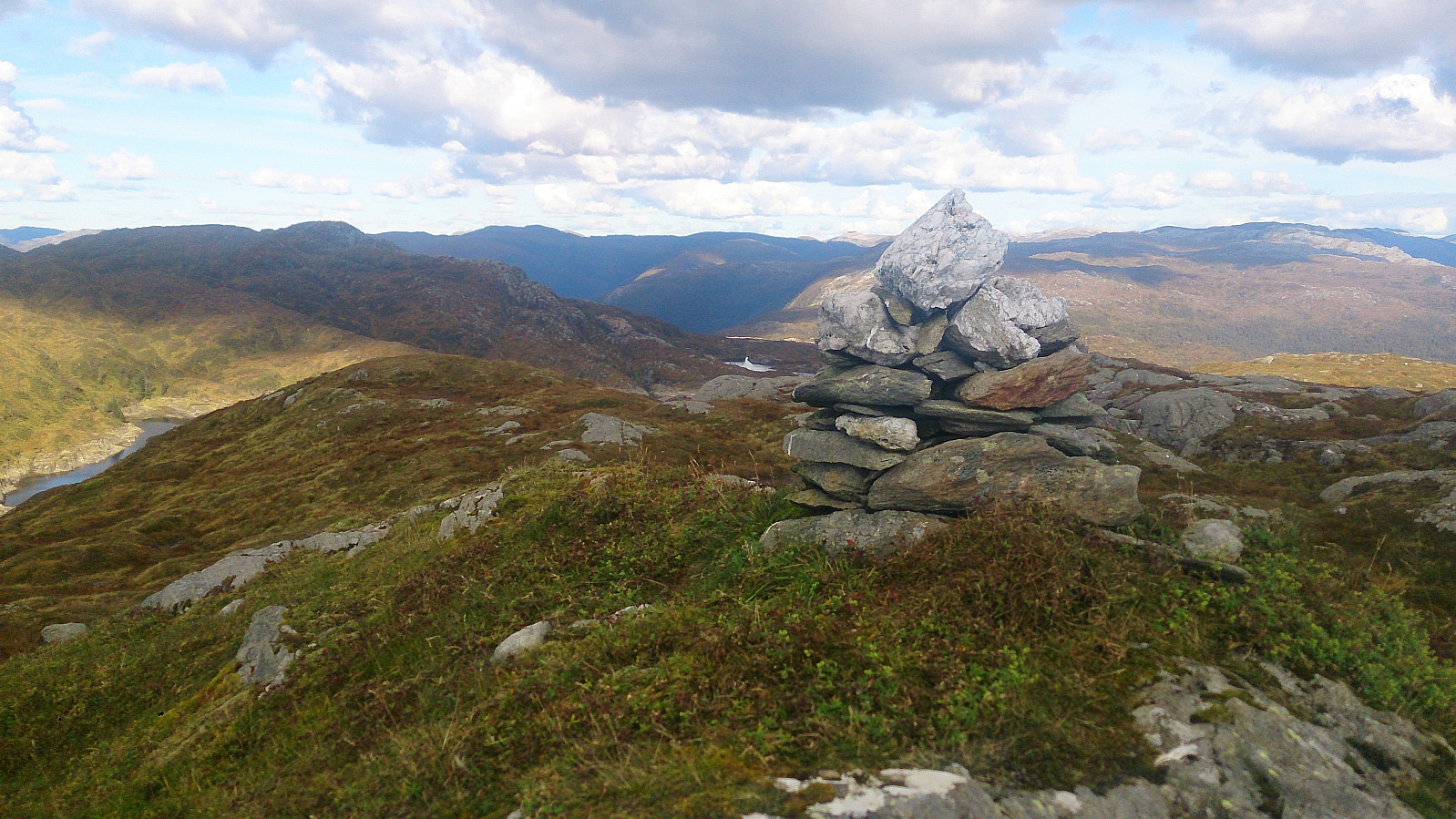
Raudnipa
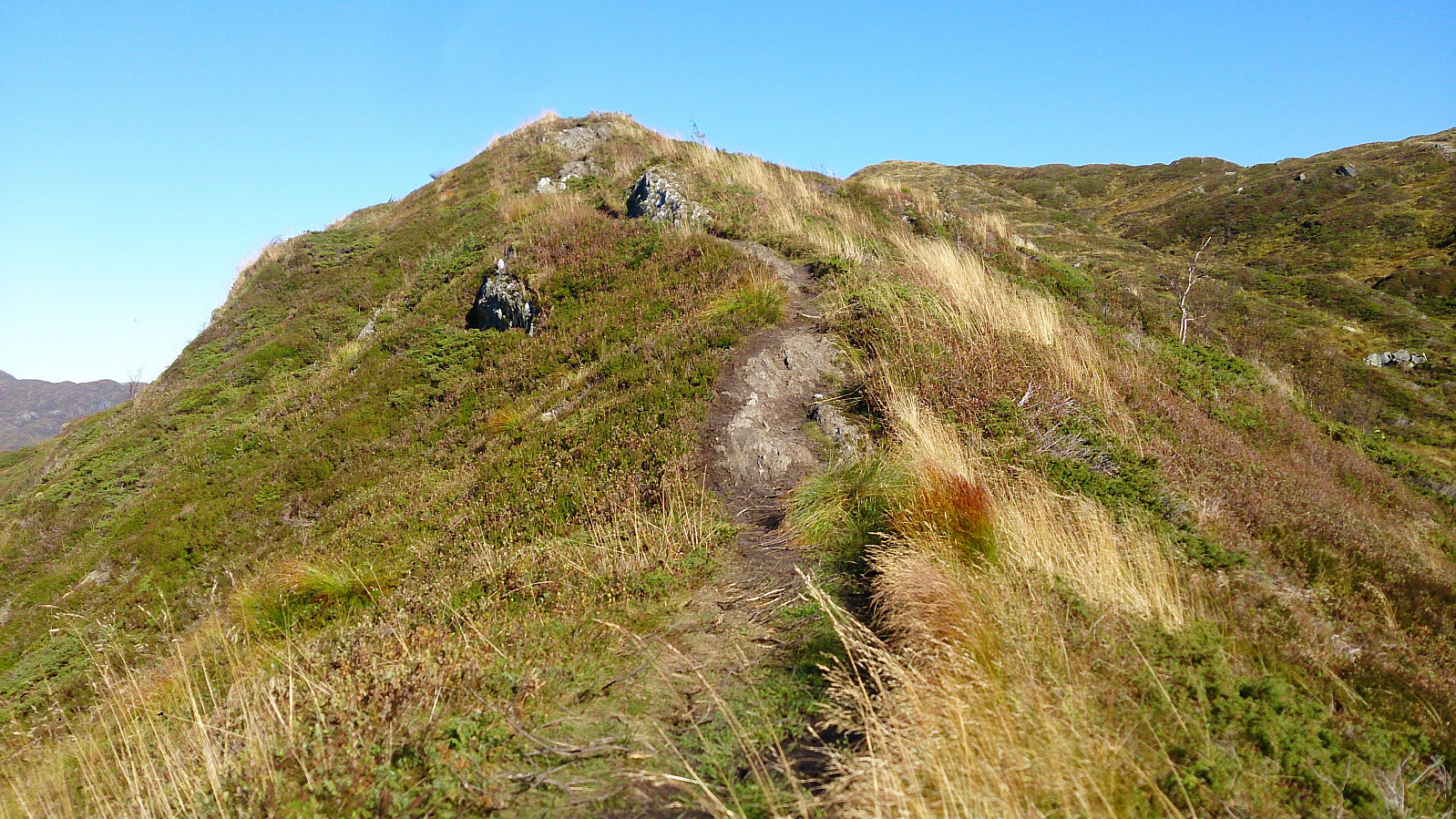
The plan was now to continue to Raudnipa. I therefore started looking for a trail in that direction, and found some weak traces of a trail heading north/northeast. The trail started a bit steep, but nothing difficult, and as it turned towards Raudnipa the quality also got surprisingly good. Don't get me wrong, there were still more hoofprints than footprints, but it was clearly a trail and not just an animal track.
The quality dropped as I approached the bottom of Vindskaret though, and when crossing a wet area I ended up losing the trail completely. After a bit of searching I gave up and instead headed off-trail for the ridge to the east, where I reconnected with the trail (or came across a new trail?), which I then followed up the ridge.
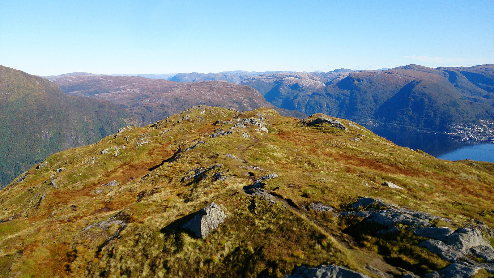
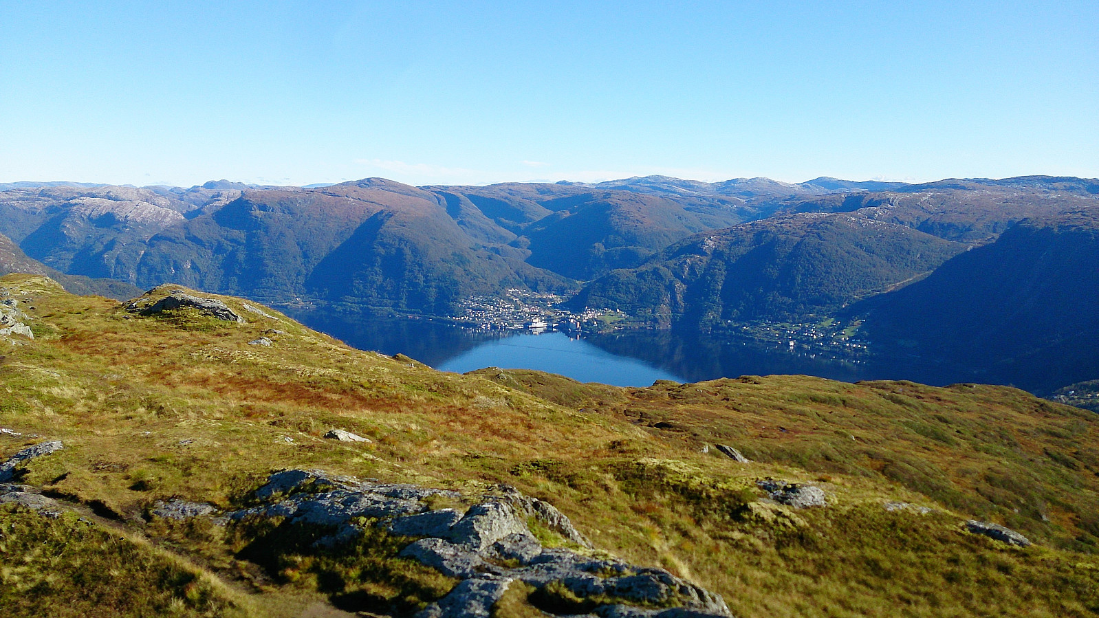
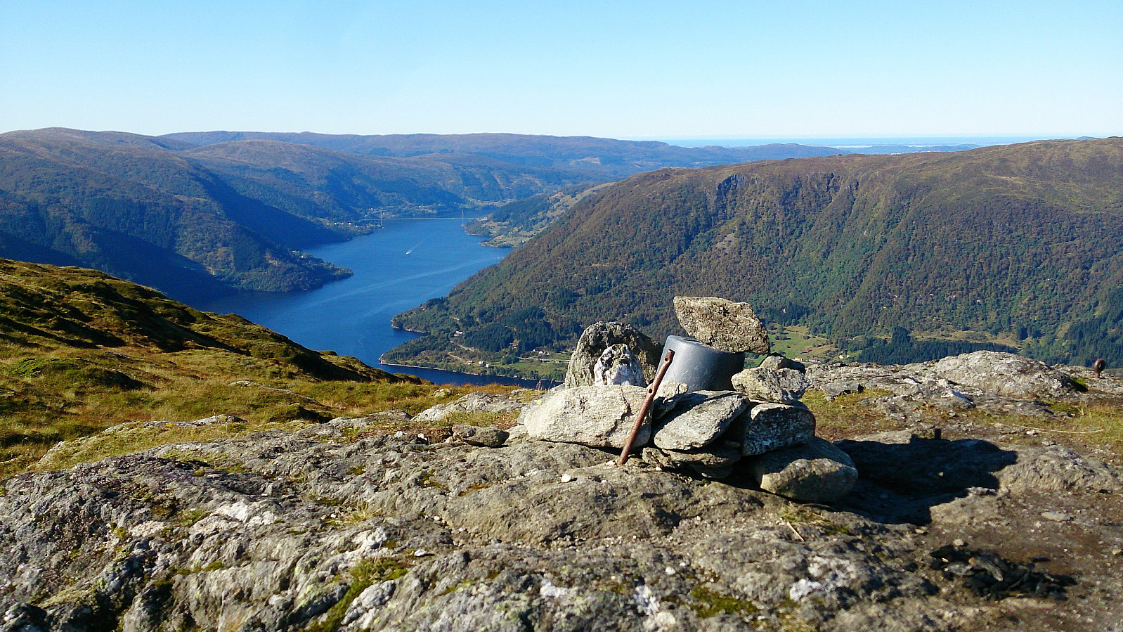
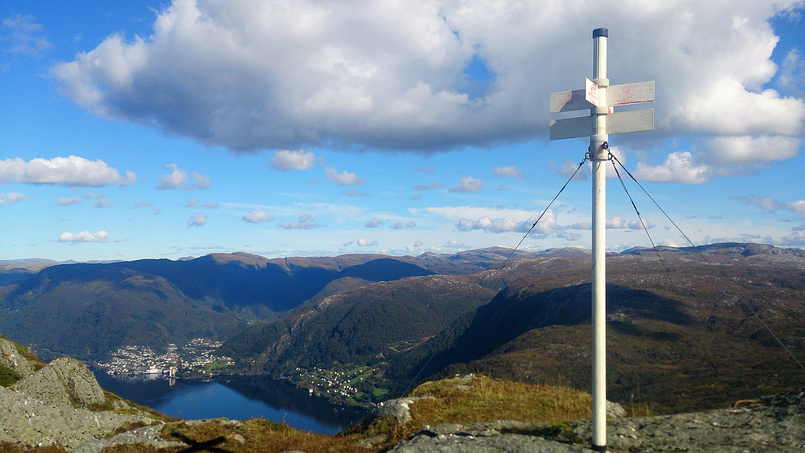
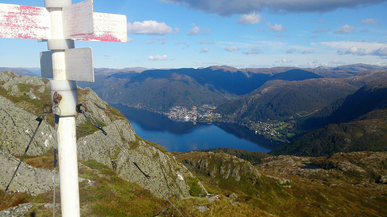
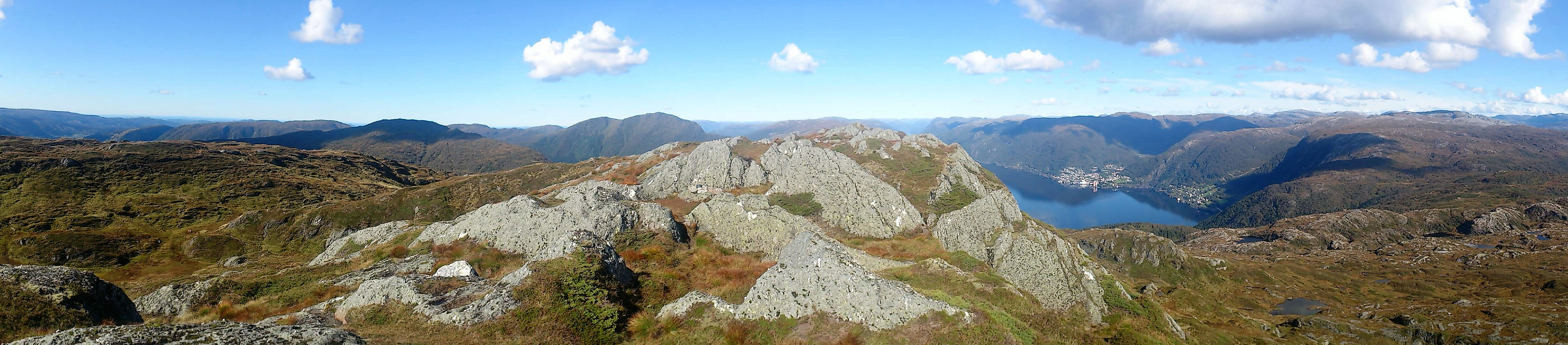
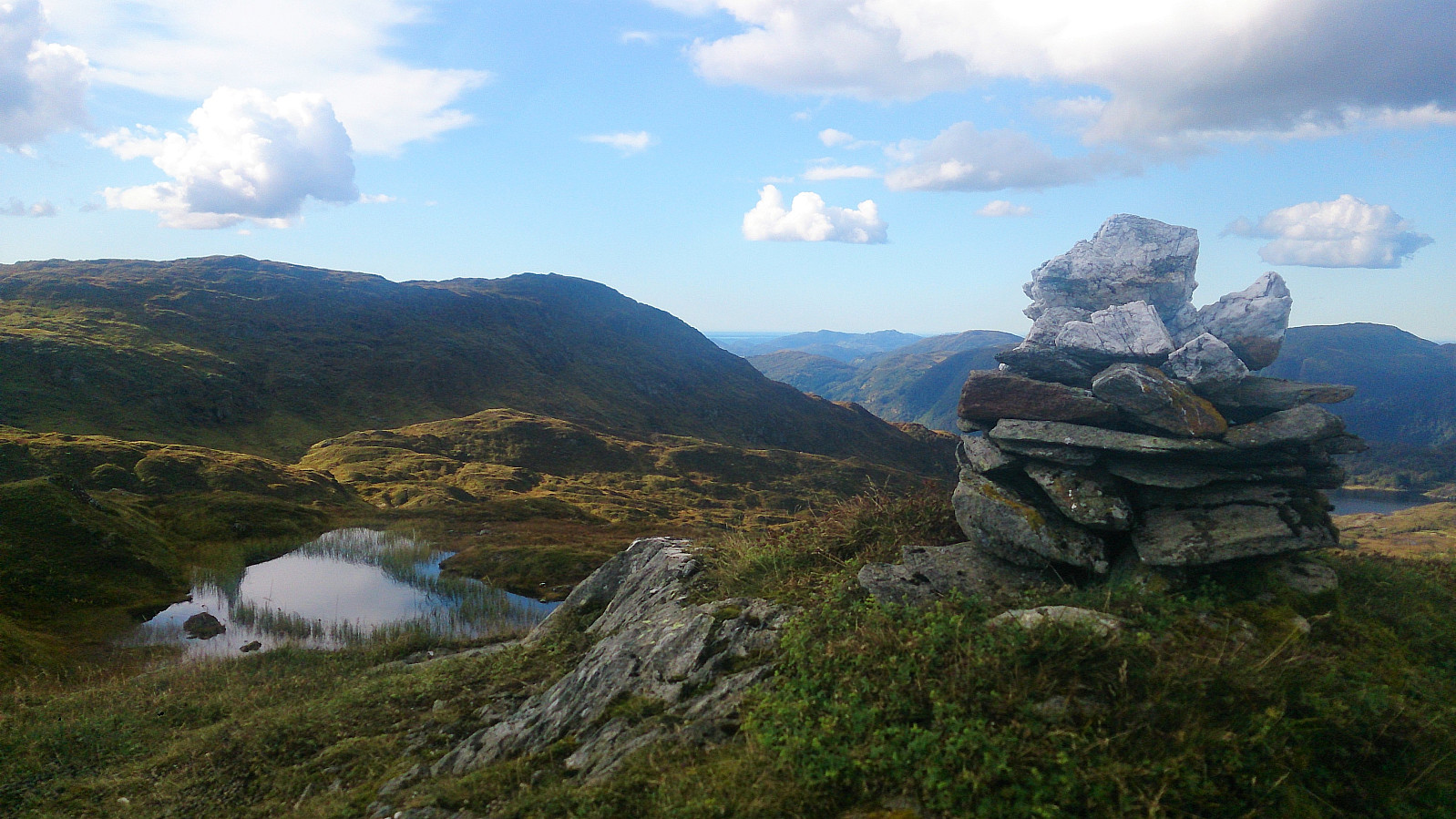
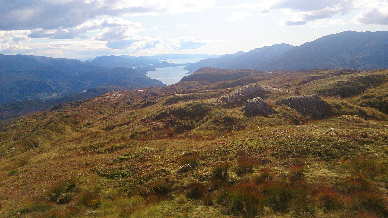
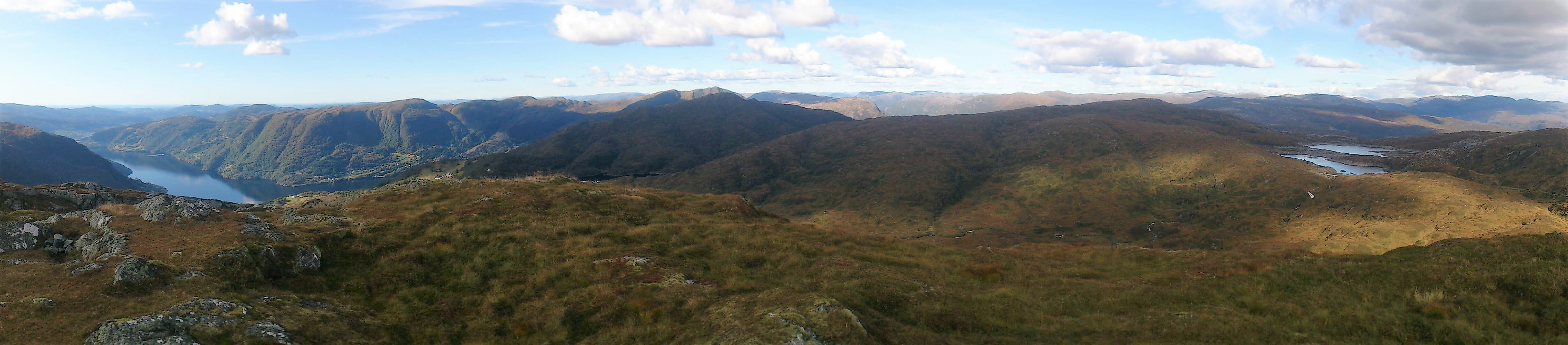
But has it turned out, this trail was not heading for Raudnipa, but rather turned west. I therefore left the trail and headed straight for the summit of Raudnipa. This was easier said than done though, as the terrain consisted of several quite steep ridges, all in the north-south direction, that I had to cross. Getting to the summit was therefore harder than expected, and also included some very light climbing. This is most likely avoidable if paying more attention to the map and maybe leaving the trail at an earlier point. Very nice views from the summit, especially south towards Samnangerfjorden.
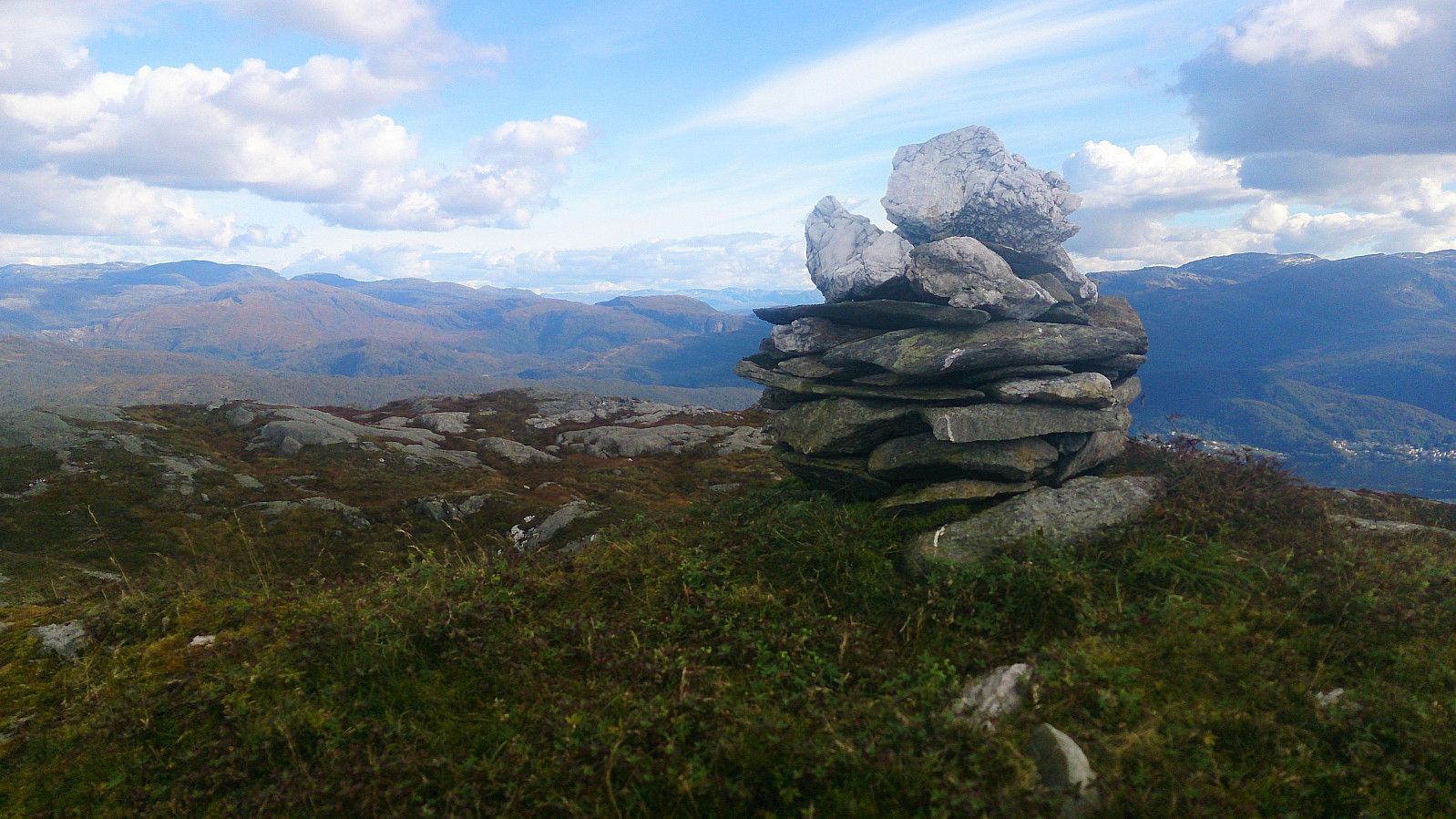
Raudfjell
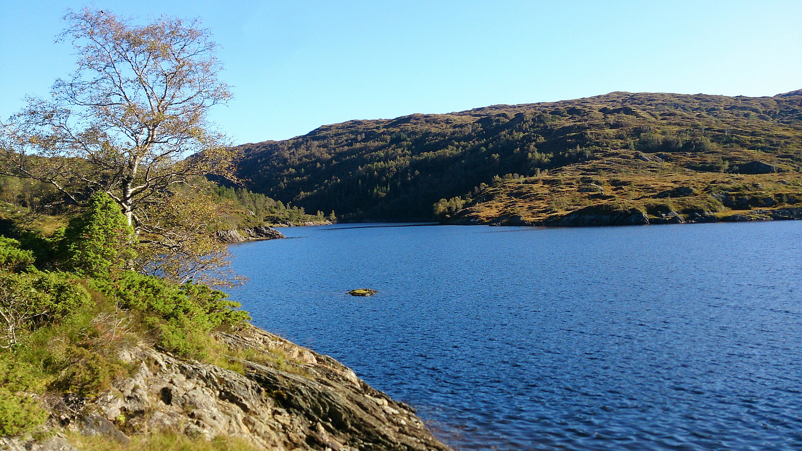
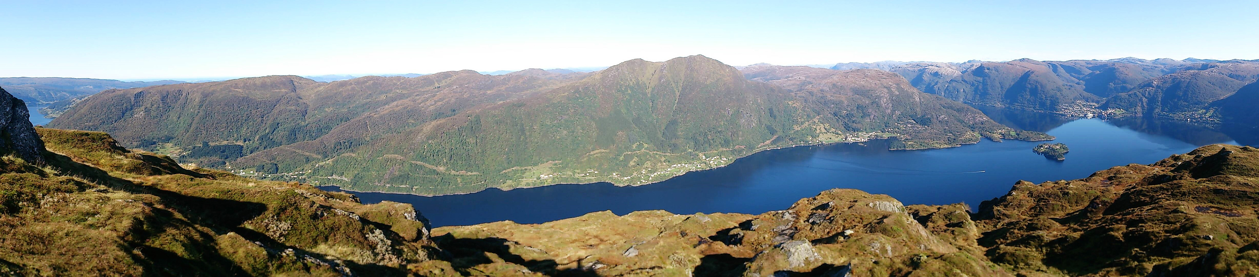
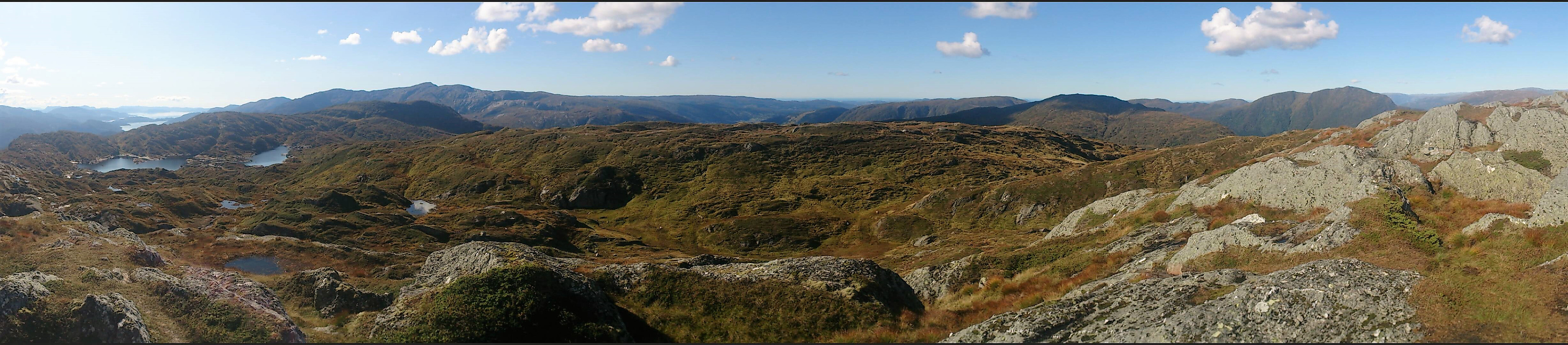
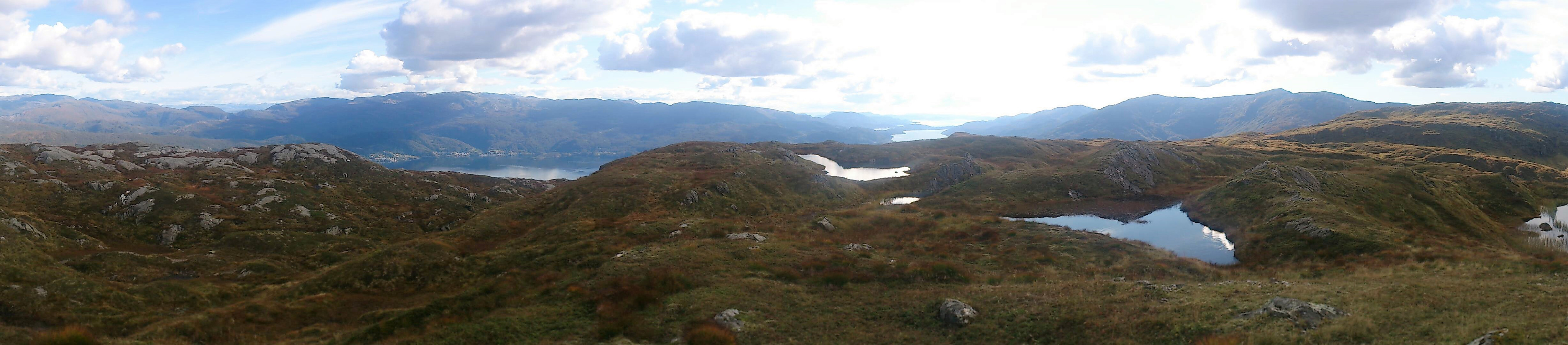
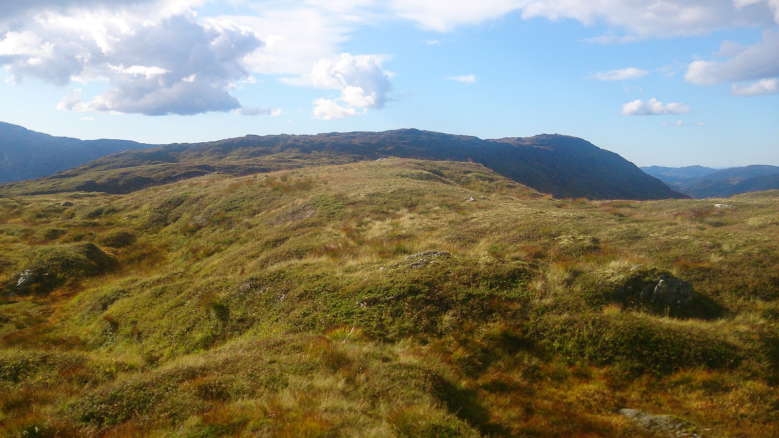
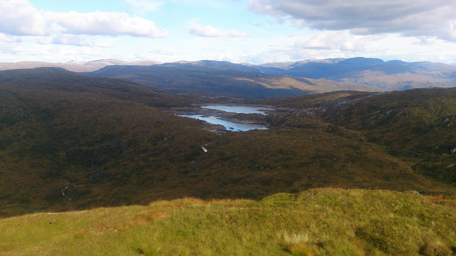
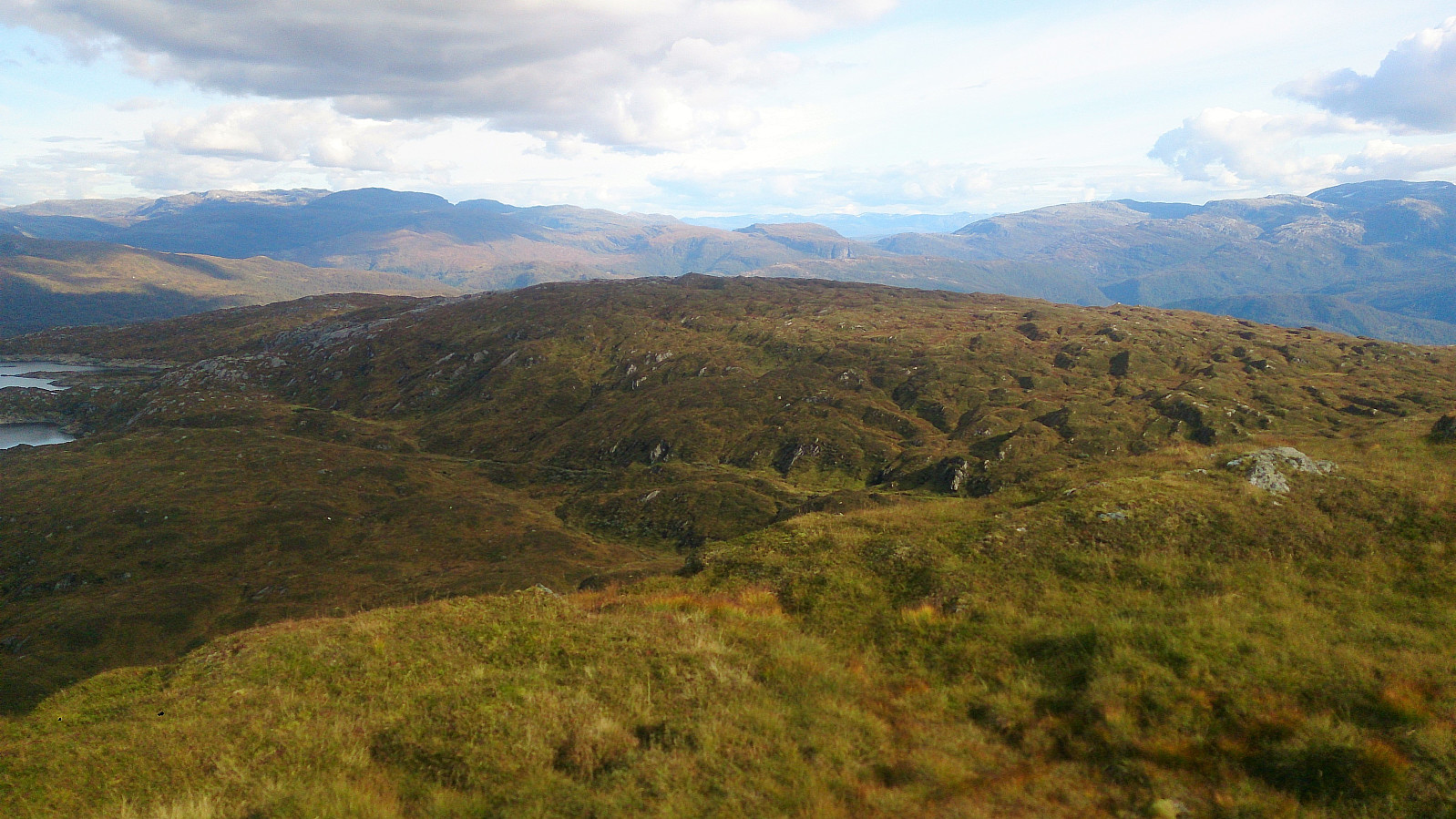
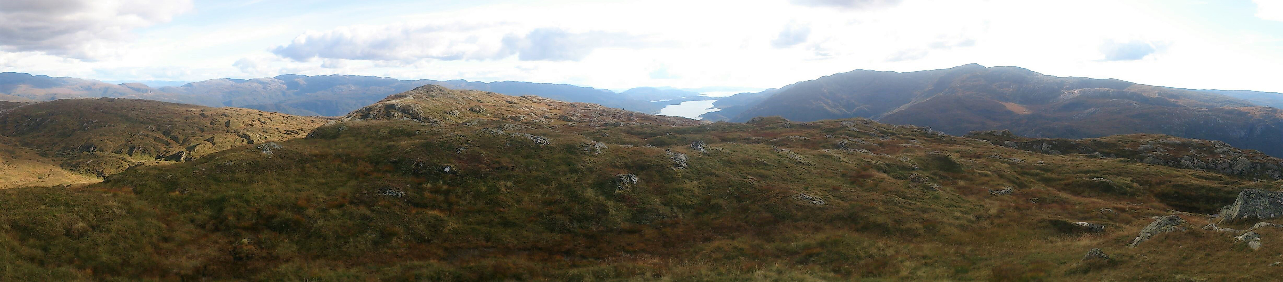
From Raudnipa I followed a decent trail south, taking me down to the west side of Raudvatnet, where I assumed the trail would at some point turn west towards Holmavatnet. However, this turned out not to be the case, or maybe I missed the exit. As soon as I realized this, I turned west and made my own way to Raudfjell, passing over the 624 hill on the way.
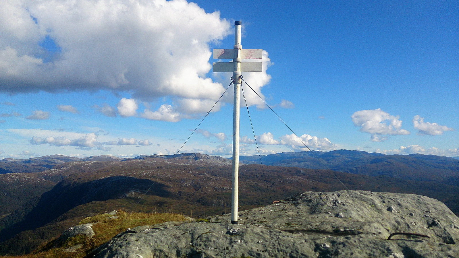
The terrain was again full of north-south ridges that had to be crossed, making the progress slower than expected. Upon finally reaching the summit of Raudfjell, I noticed that the cairn, while located at the highest point, was not where Raudfjell was marked on the map. I therefore continued south, for about 100 meters, where I located a trig bolt at the marked location.
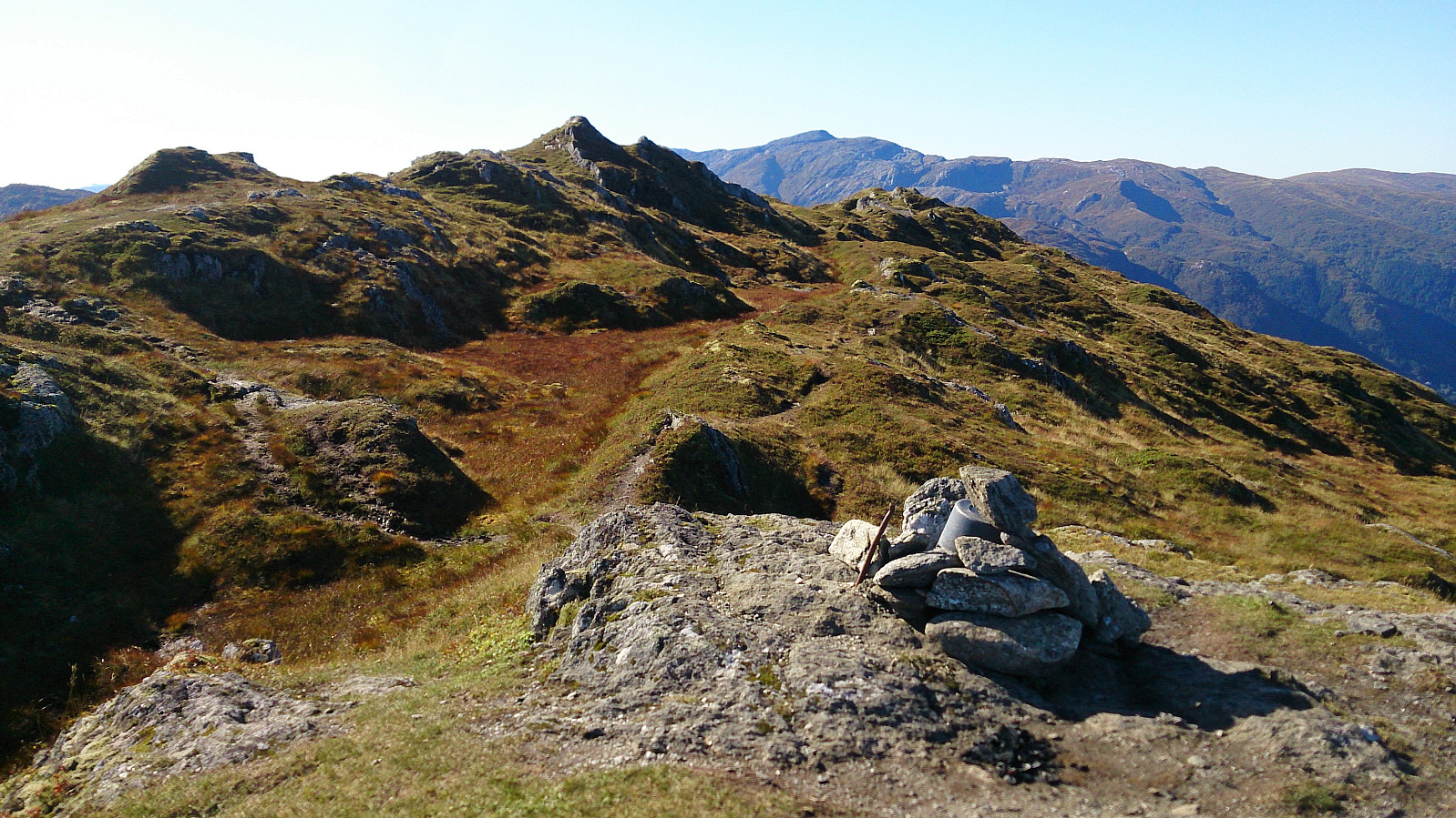
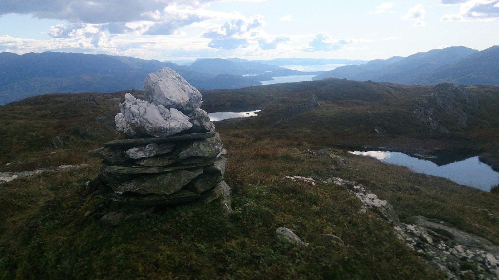
Krånipa
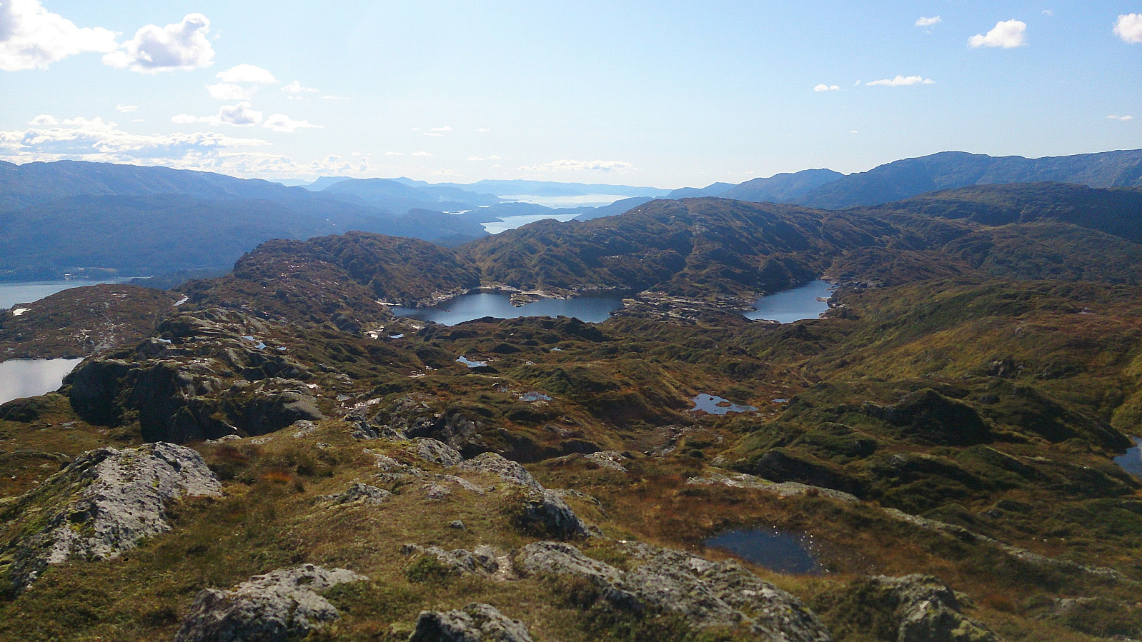
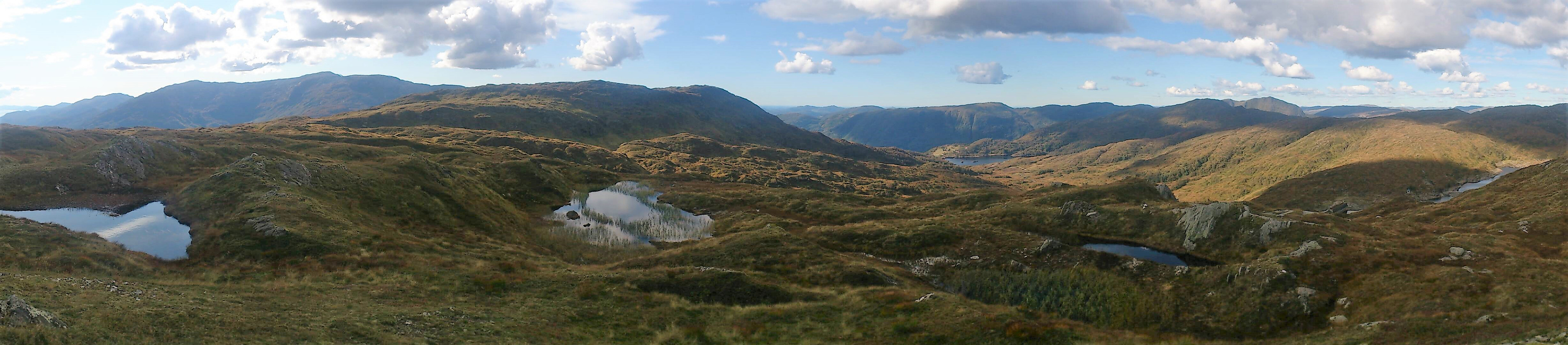
The final goal of the day was Krånipa. From Raudfjell I therefore continued west while scouting for a good place to ascend Krånipa, given that most of the eastern side of Krånipa looked too steep for my taste. I considered heading all the way south to Holdhusfjellet, but decided against this as I had a train to catch, and it was clearly better to be safe than sorry, as the next train for Bergen was not until two hours later.
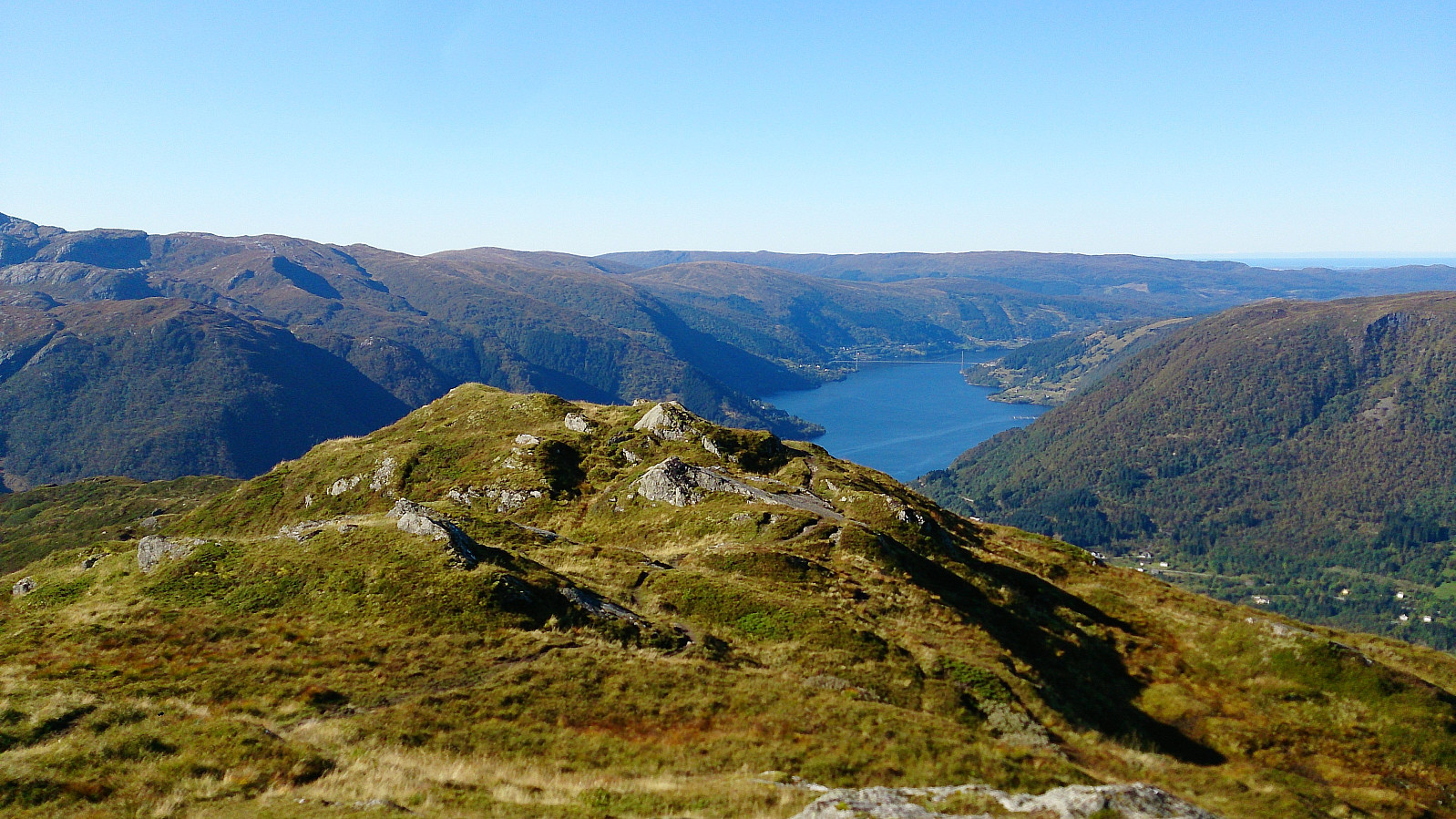
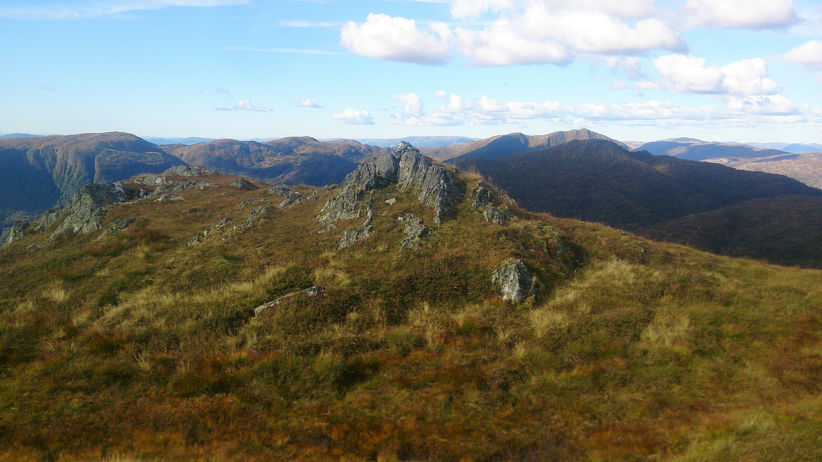
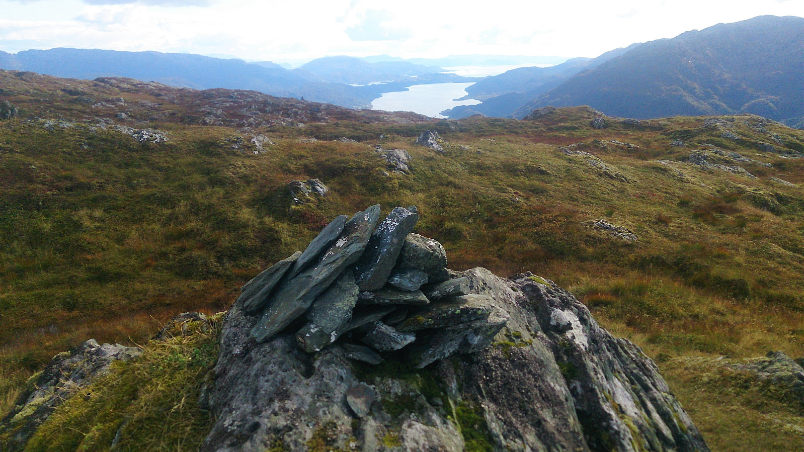
As I got close to the 636 hill just to the east of Krånipa, I spotted a weak trail going north-south in the valley east of Krånipa. I assumed this trail would take me to the summit as well. But shortly after reaching the ridge the trail disappeared. Did not really matter much though, as from there it was straightforward to reach the summit and onwards to the cairn. As expected, the views from Krånipa were at the same high level as the previous summits of the day.
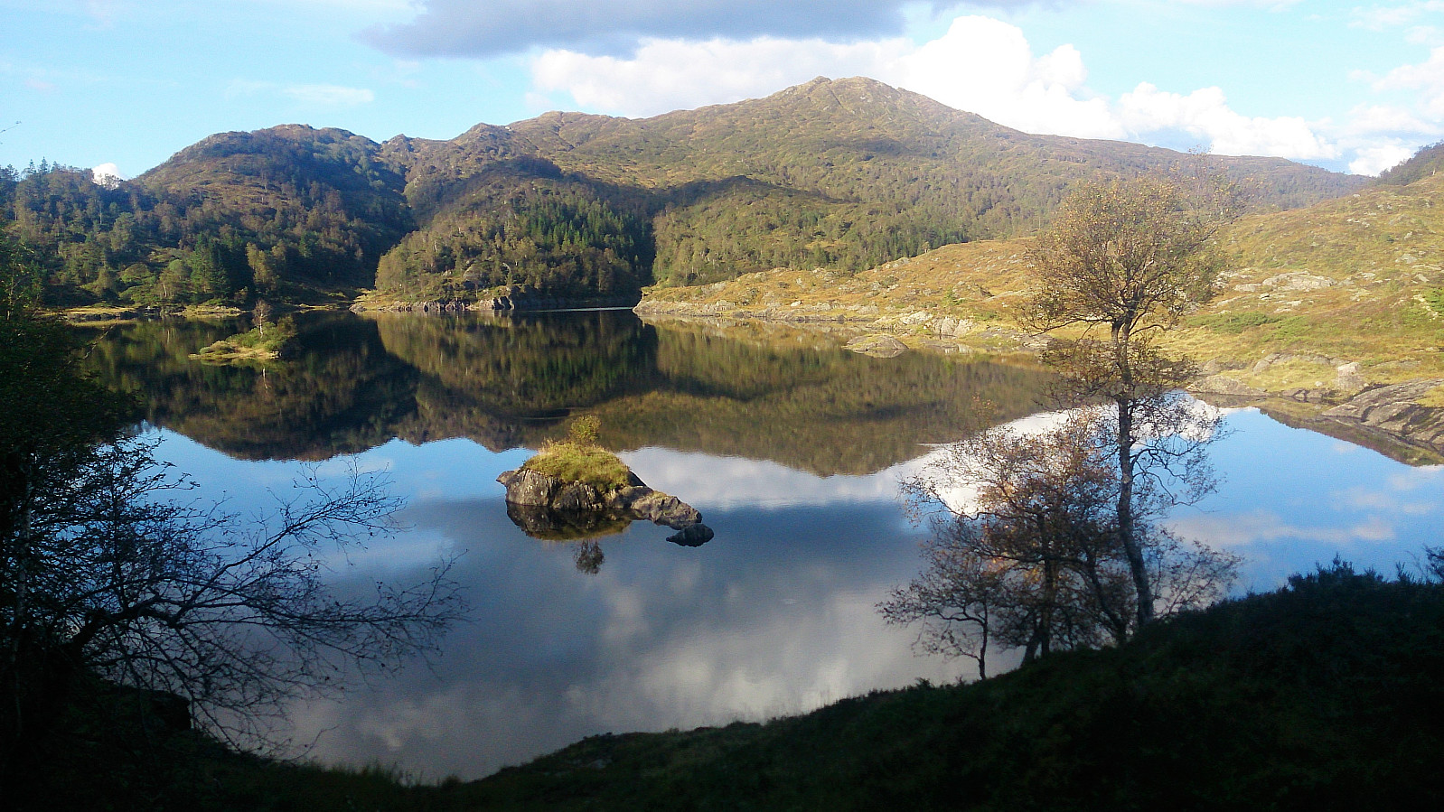
From the summit, I followed a trail north along the ridge. Not the best quality, especially the last part (before reaching the trail coming up from Skulstadvatnet) was very wet. But it did make it straightforward to get from Krånipa to Skulstadvatnet, from where I followed the road back down to the train station, getting there with 20 minutes to spare.
Conclusion
This is a hike that can be very highly recommended! But be aware that the quality of the trails is highly variable, from excellent up to Hananipa to non-existent for large parts of the rest of the hike. However, the overall excellent views more than make up for the lack of trails. Note also that due to the only 20 minutes train ride from the Bergen city center, this area is a lot more accessible for hiking than you might think. But be sure to check the train schedule for the trip home as well! :)


| Starttidspunkt | 16.09.2017 10:17 (UTC+01:00 ST) |
| Sluttidspunkt | 16.09.2017 17:18 (UTC+01:00 ST) |
| Totaltid | 7t 00min |
| Bevegelsestid | 6t 27min |
| Pausetid | 0t 33min |
| Snittfart totalt | 2,9km/t |
| Snittfart bevegelsestid | 3,2km/t |
| Distanse | 20,6km |
| Høydemeter | 1375m |


Kommentarer