
Førdesveten from Stranda (02.09.2017)

Skrevet av hbar (Harald Barsnes)

| Startsted | Stranda (34moh) |
|---|---|
| Sluttsted | Stranda (34moh) |
| Turtype | Fjelltur |
| Turlengde | 3t 11min |
| Distanse | 6,7km |
| Høydemeter | 397m |
| GPS |
|
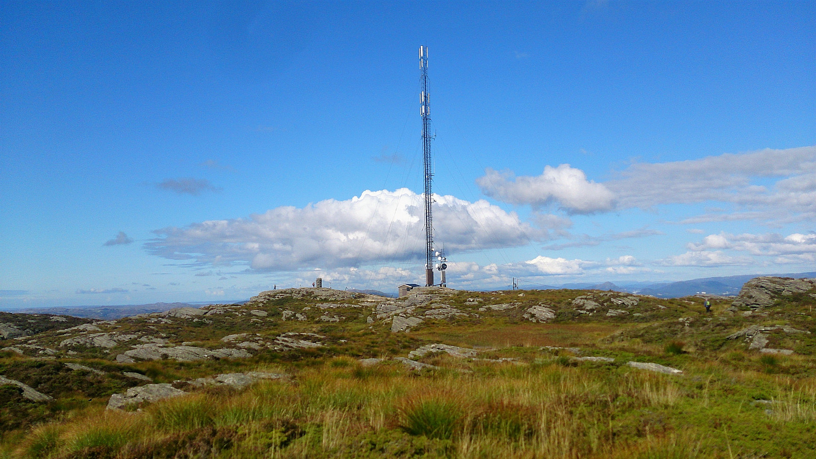
| Bestigninger | Førdesveten (284moh) | 02.09.2017 |
|---|---|---|
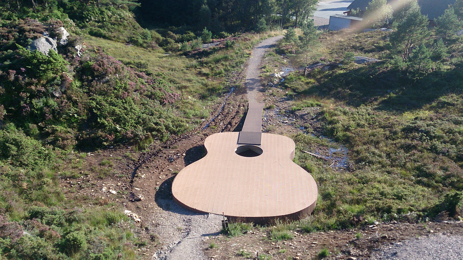
| Andre besøkte PBE'er | Gigantgitaren (50moh) | 02.09.2017 |
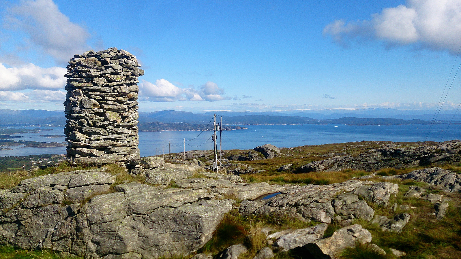
| Minnesmerke etter flystyrten i 1948 (275moh) | 02.09.2017 | |
| Stranda skole parkering (45moh) | 02.09.2017 |
Førdesveten from Stranda
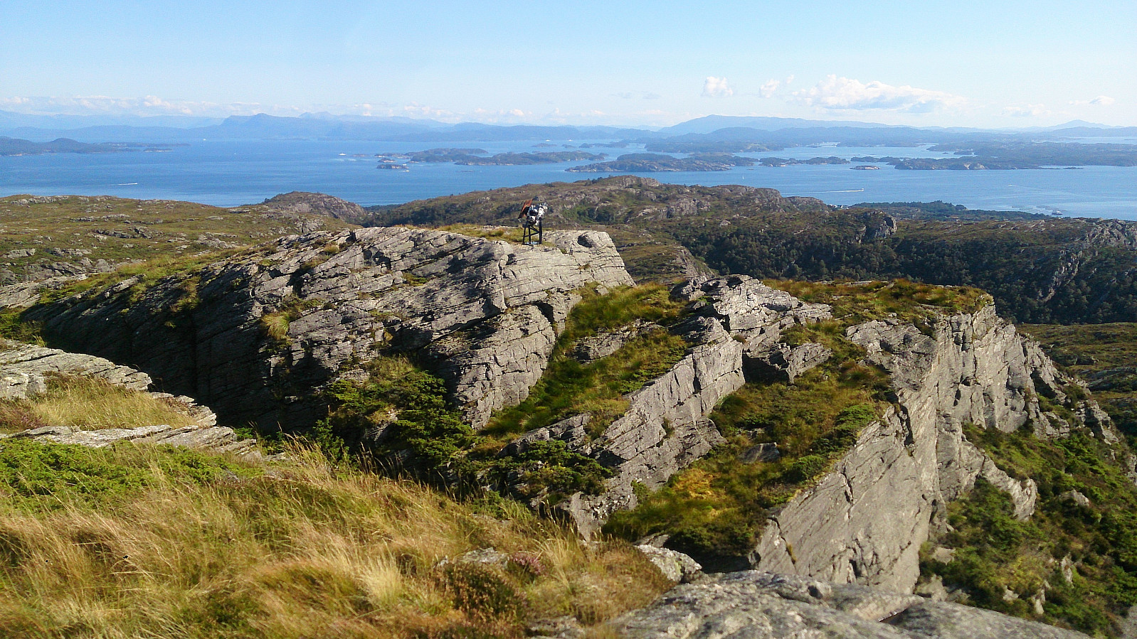

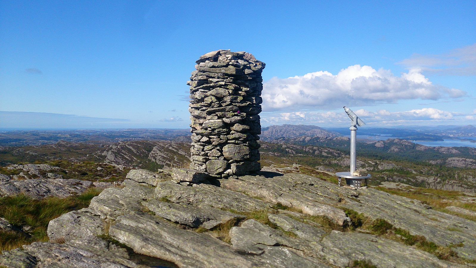
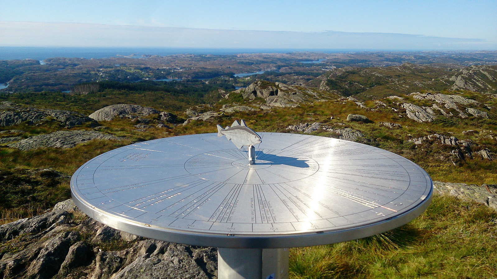
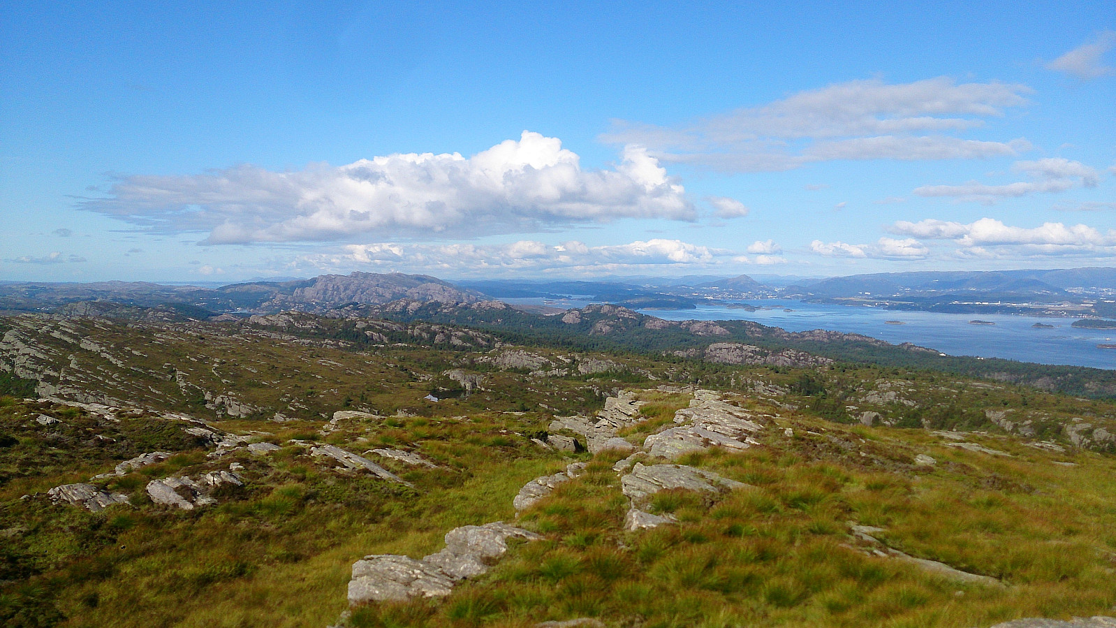
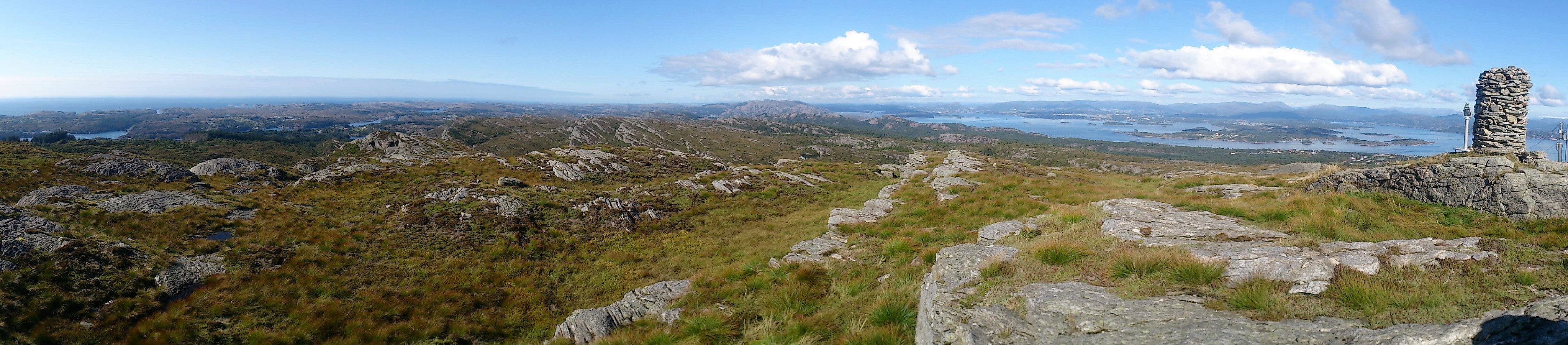
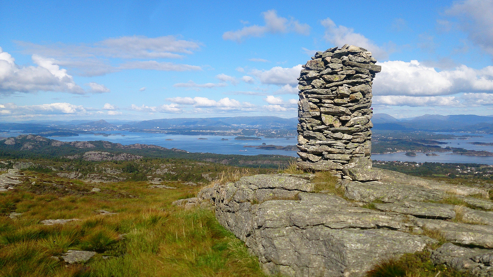
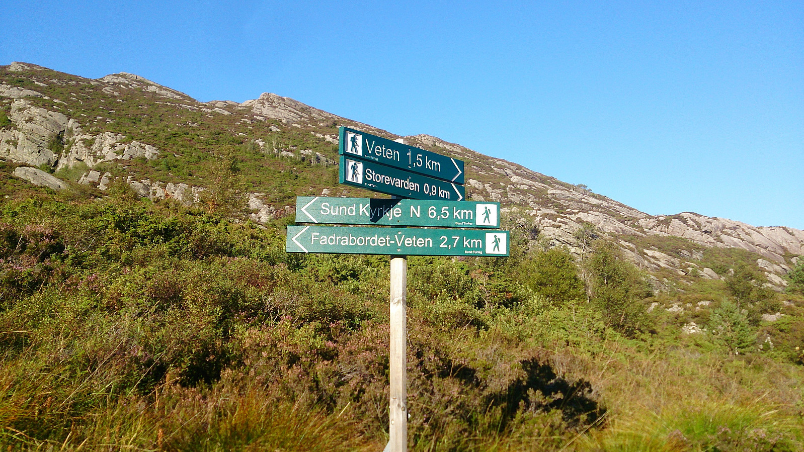
We started from the parking lot at Stranda skole and followed the marked trail all the way to the summit, choosing the shorter route by going east in the first marked crossroads. Decent trail, where most of the wet areas can be easily crossed with little risk of getting wet. The summit provided excellent views in all directions and was very much worth a visit.
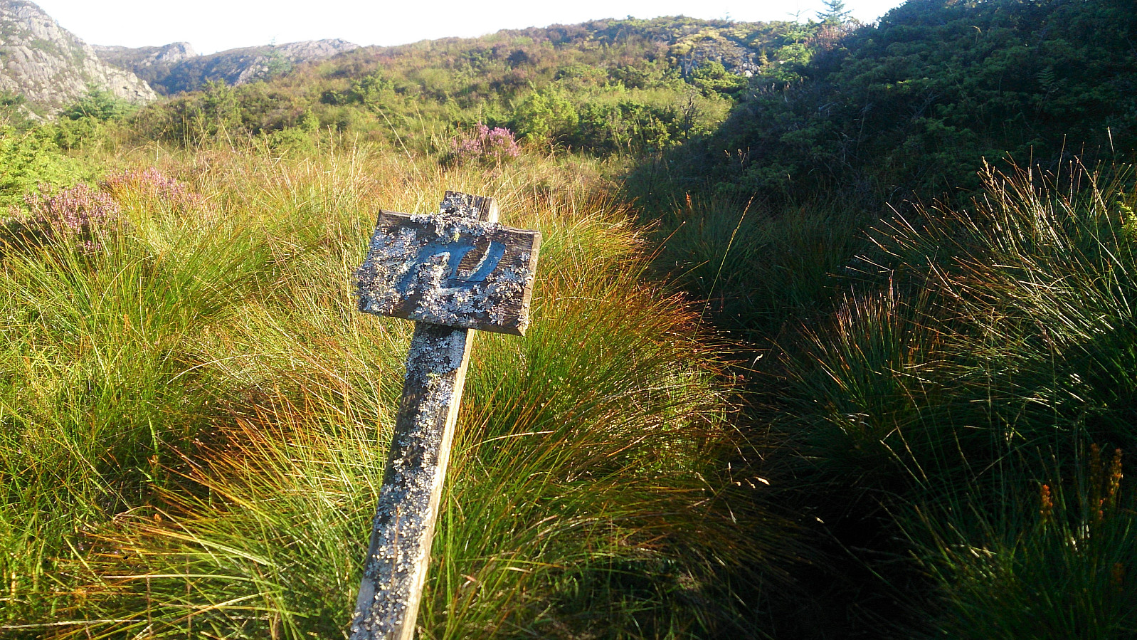
The plan was now to head for Randifjellet to the north, and we therefore followed the path in this direction. However, upon reaching the crossroads at the end of the ridge, the trail heading east did not look very inviting, i.e. wet and muddy. We therefore continued south instead, hoping that the alternative path (which takes off to the west after 100 meters or so along the southern trail) towards Randifjellet would be better.
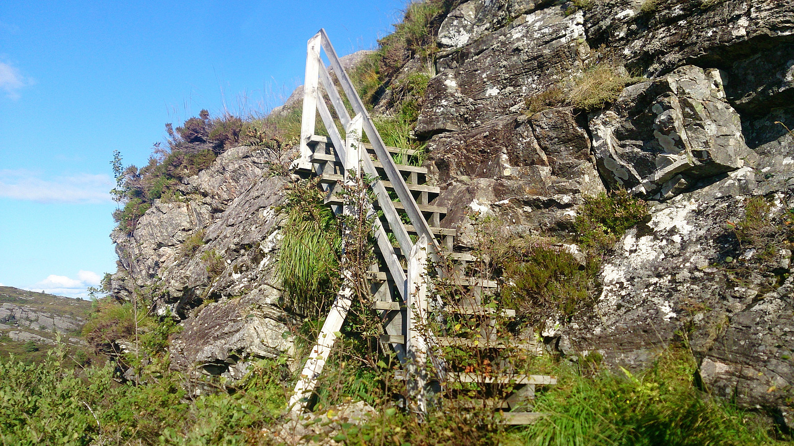
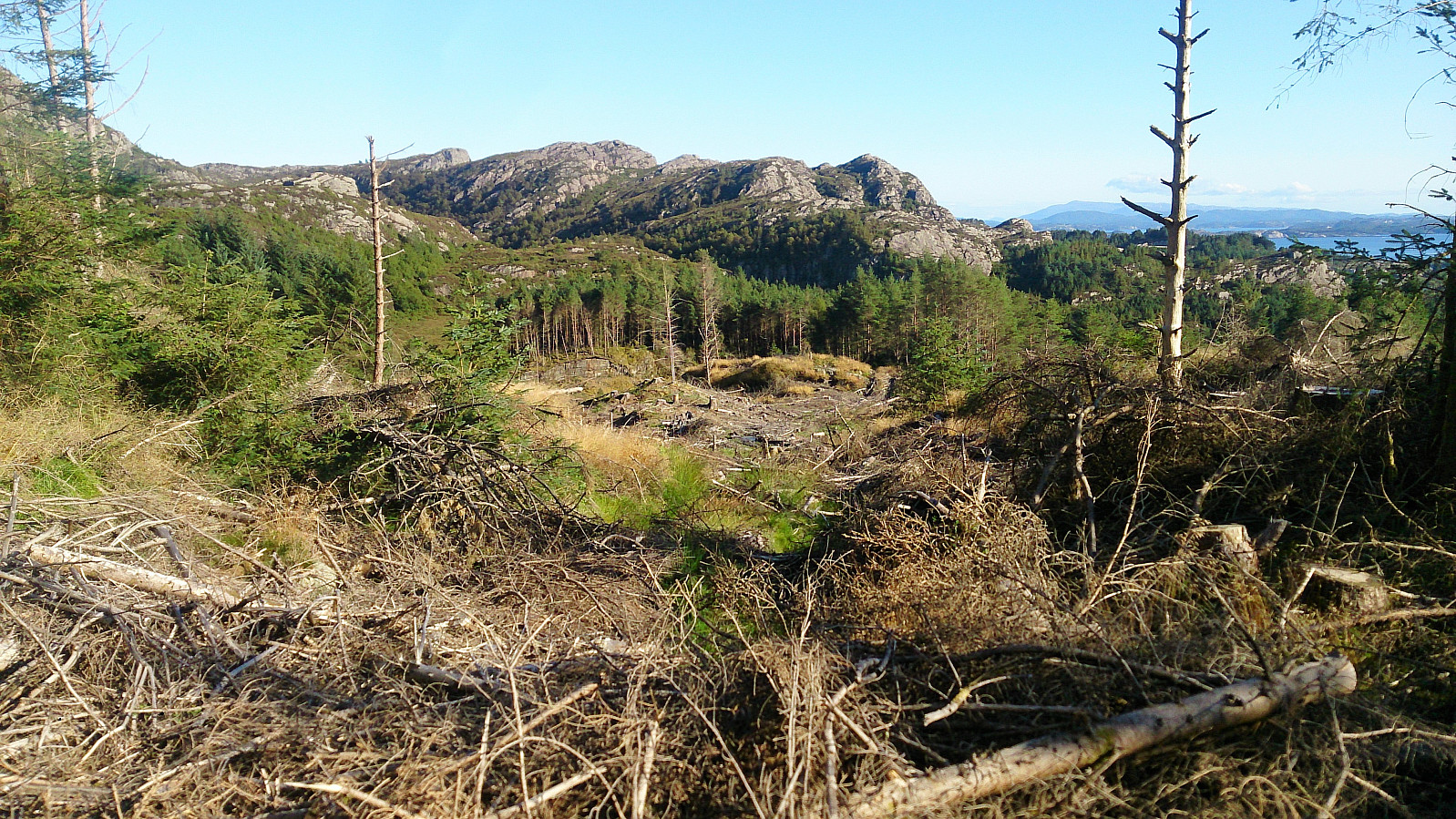
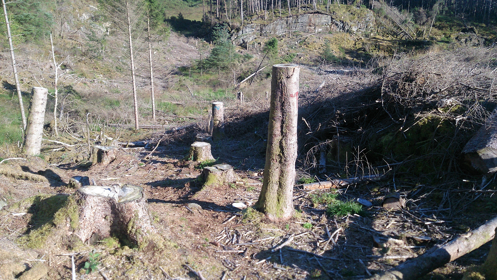
This turned out not to be the case, and we decided to leave Randifjellet for another day and instead headed back to the car. However, this turned out to be easier said than done, as the trail was very poor, mainly consisting of marshes and wet mud. This improved slightly upon reaching an area used for logging, but this only resulted in new challenges in terms of trying to make progress among the leftovers from the logging.
But the trail greatly improved as soon as we left the logging area, and from there we quickly arrived back at the crossroads from the start of the hike. So if it was not clear, it is very much recommended to take the shorter eastern route at this crossroads, and ignore the western longer route.
In summary, Førdesveten provides excellent views, and an overall very enjoyable hike, as long as the right choice is made at the first crossroads!
| Starttidspunkt | 02.09.2017 14:46 (UTC+01:00 ST) |
| Sluttidspunkt | 02.09.2017 17:58 (UTC+01:00 ST) |
| Totaltid | 3t 11min |
| Bevegelsestid | 2t 42min |
| Pausetid | 0t 29min |
| Snittfart totalt | 2,1km/t |
| Snittfart bevegelsestid | 2,5km/t |
| Distanse | 6,7km |
| Høydemeter | 397m |


Kommentarer