
Katlaberget, Liafjellet and Vardafjellet (26.08.2017)

Written by hbar (Harald Barsnes)

| Start point | Lunde (45m) |
|---|---|
| Endpoint | Storestraumen (43m) |
| Characteristic | Hillwalk |
| Duration | 4h 35min |
| Distance | 17.3km |
| Vertical meters | 662m |
| GPS |
|
| Ascents | Katlaberget (102m) | 26.08.2017 |
|---|---|---|
| Liafjellet (260m) | 26.08.2017 | |
| Vardafjellet (117m) | 26.08.2017 | |
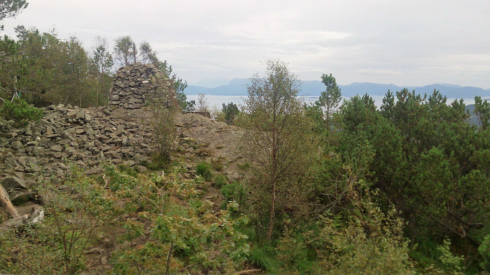
| Visits of other PBEs | Storevarden på Liafjellet (258m) | 26.08.2017 |
Katlaberget, Liafjellet and Vardafjellet
Katlaberget
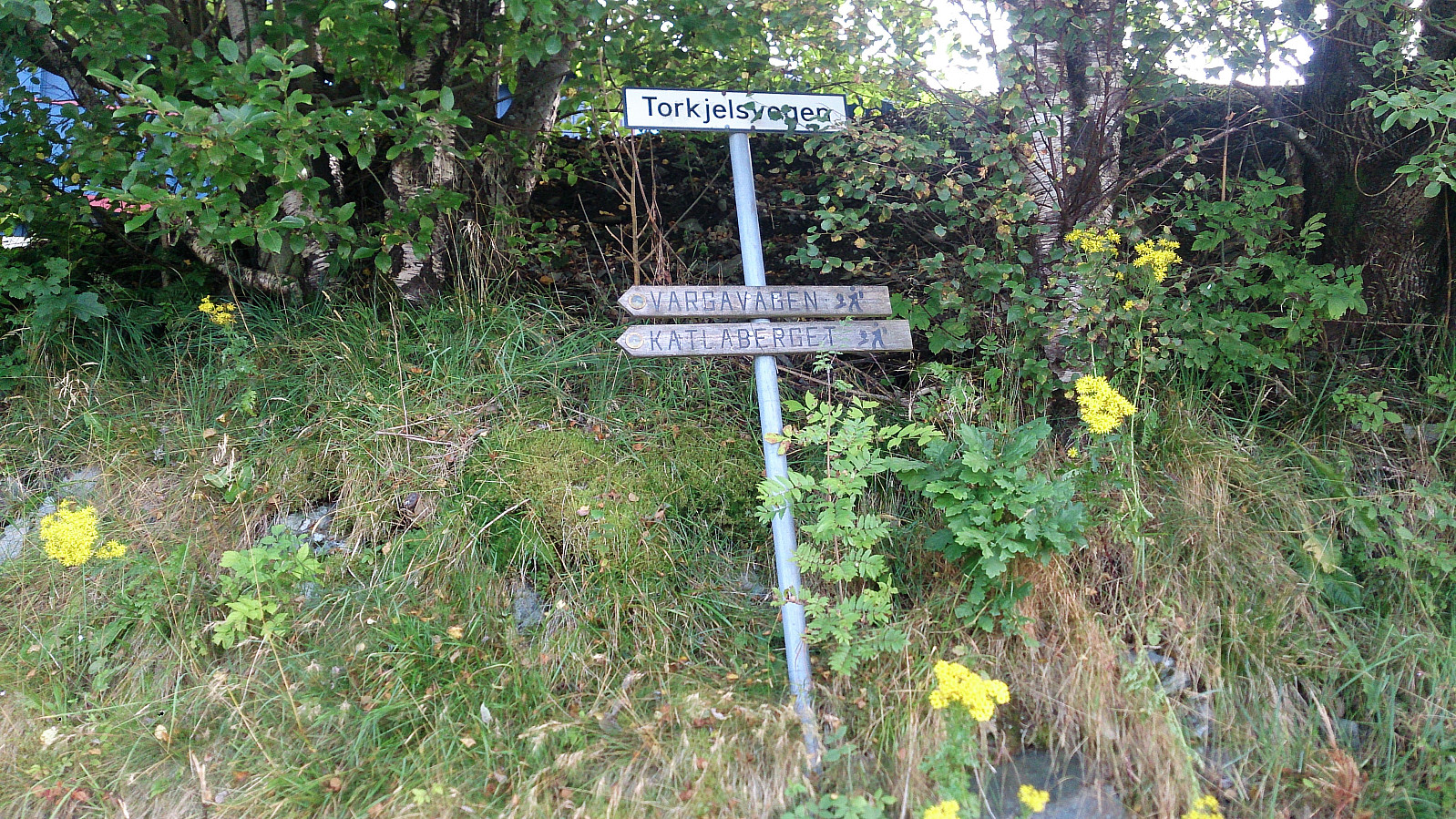
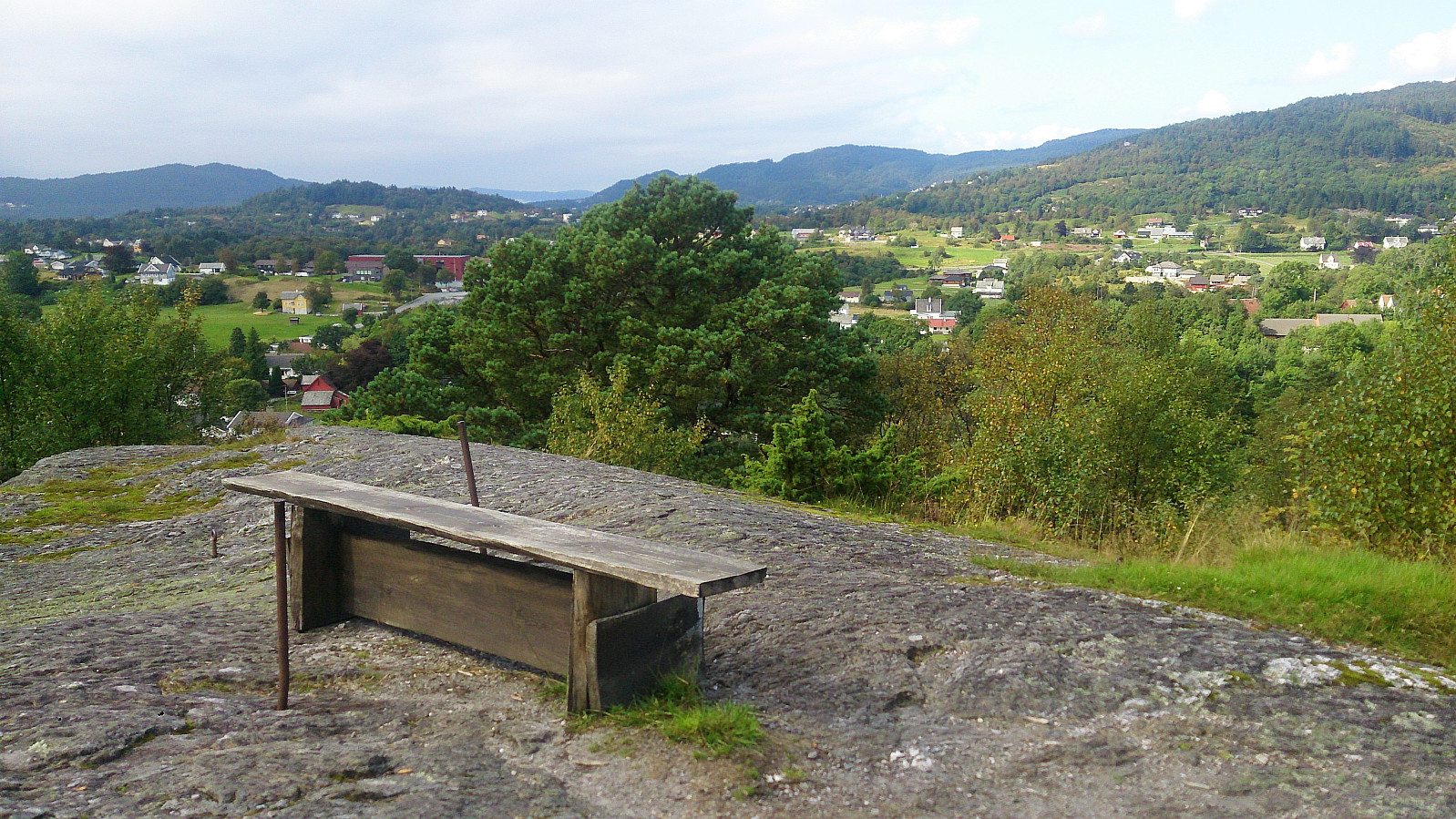
Started by taking the bus to Lunde and following Torkjelsvegen down towards Vargavågen. The trail/road was marked all the way from the start at Torkjelsvegen. The signs felt a bit counterintuitive at times though, sending me both downwards and further northeast than expected, but I decided to stick with them, and quickly arrived at the plateau east of the summit.
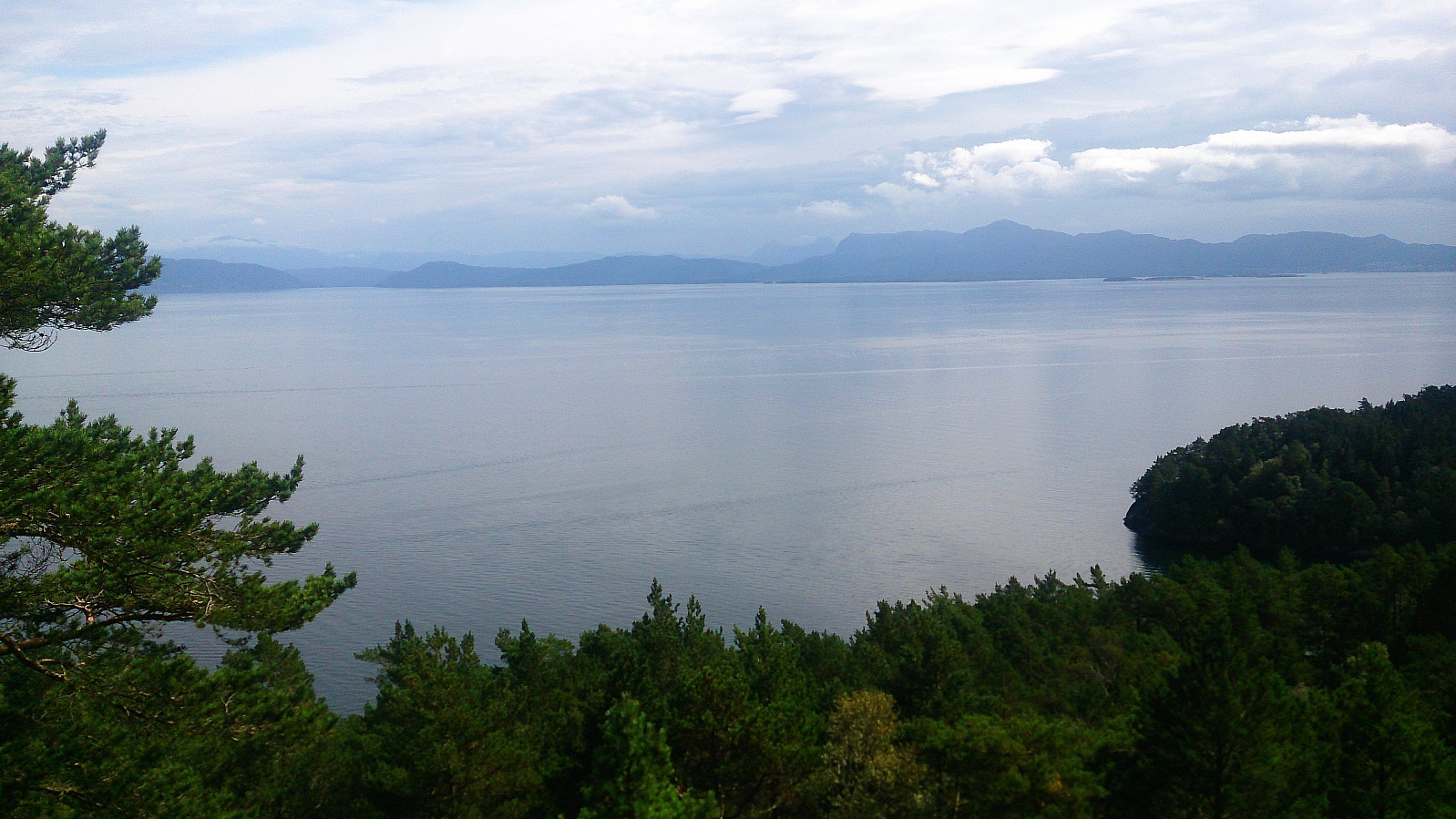
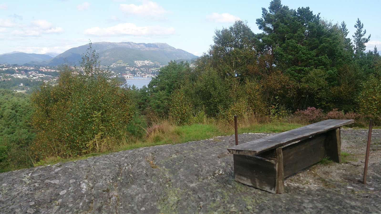
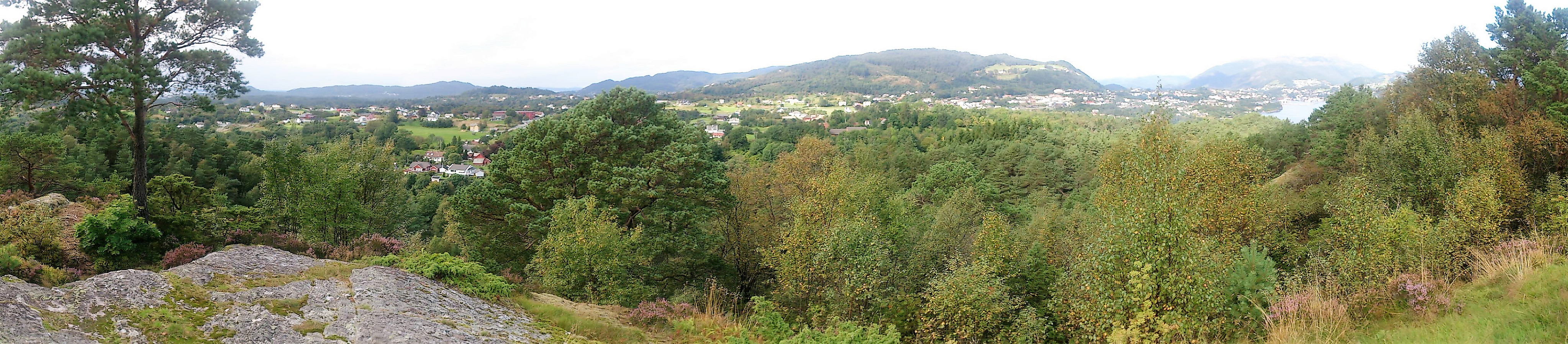
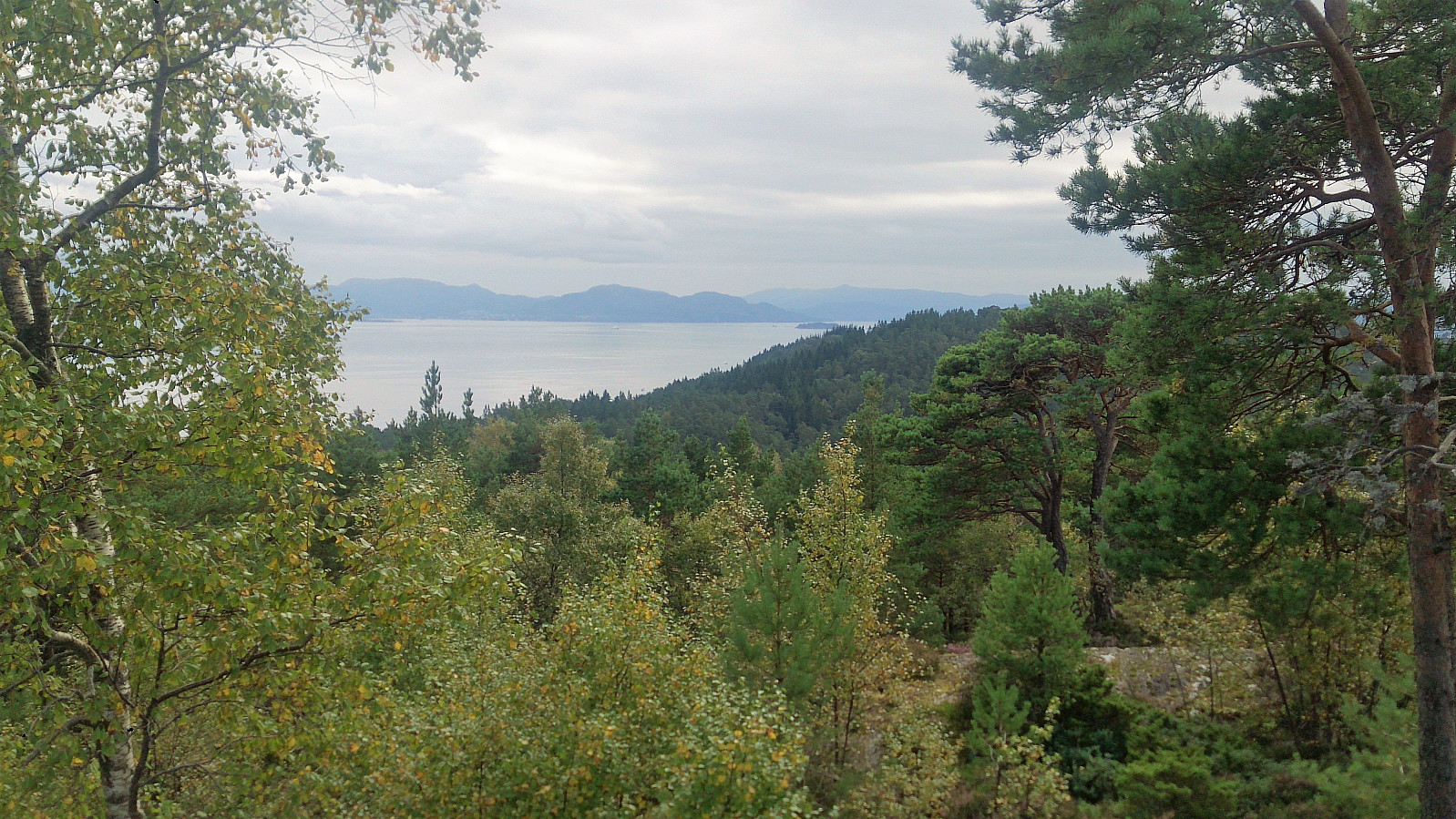
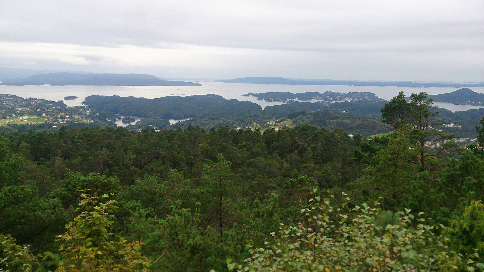
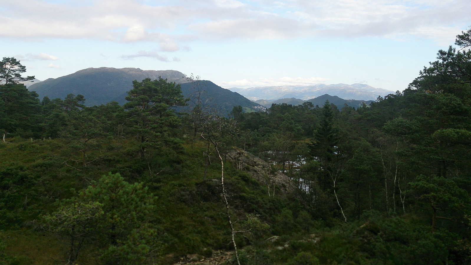
Here I noticed a trail northeast towards Ferstad, with what turned out to be a very nice view across Fusafjorden. From the viewpoint, I turned back and headed for the highest point of Katlaberget. The views here were somewhat limited by trees, especially in the western direction, nothing like what I had seen on the trail towards Ferstad. After the mandatory pictures, I therefore decided to go back to the previous viewpoint and continue northeast along the trail to Ferstad.
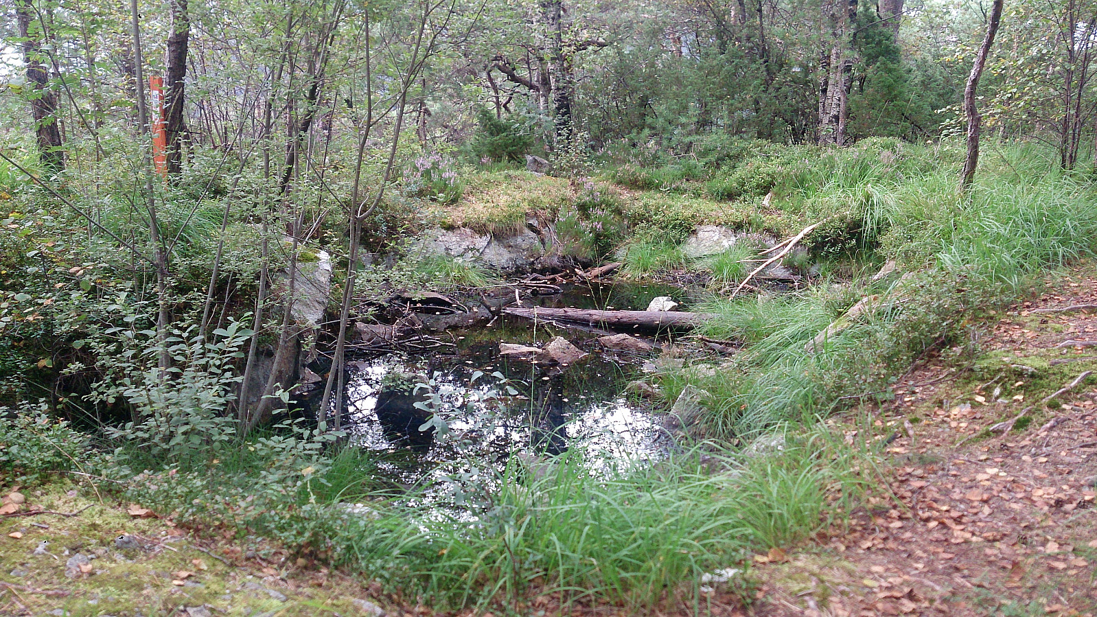
This trail did not seem to be as frequently used as the one from Vargavågen, and included some wetter areas towards the end, but it could be easily followed and I shortly arrived at a gravel road, which I then followed all the way back to the main road. In total this short roundtrip ended up being around 4.5 km and had taken a bit more than an hour. Highly recommended as a hike in itself.
Liafjellet
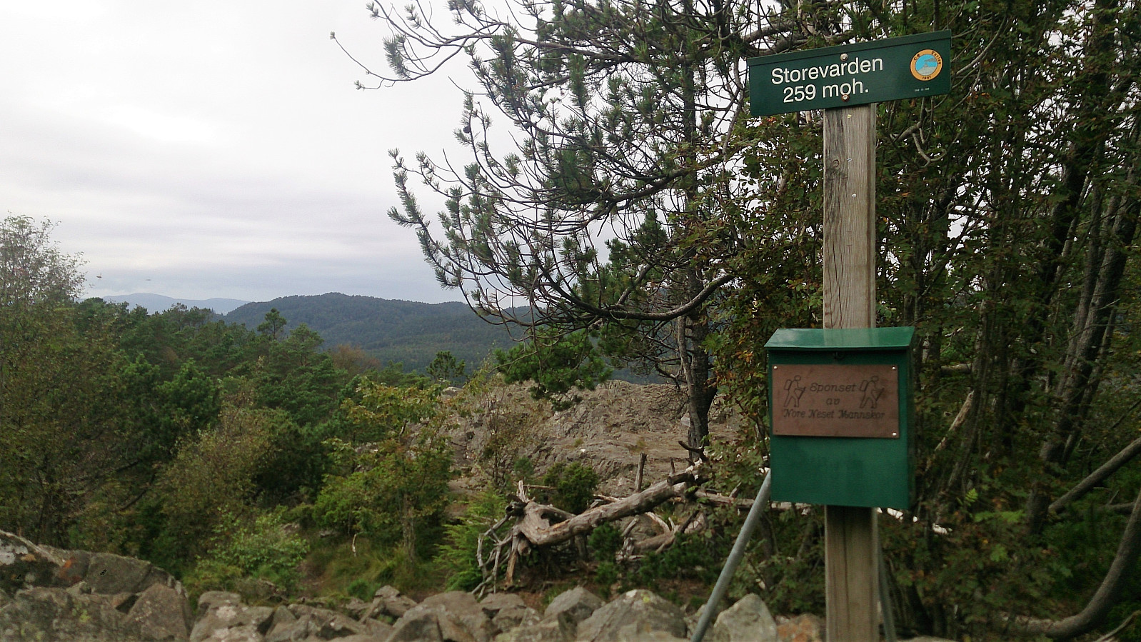
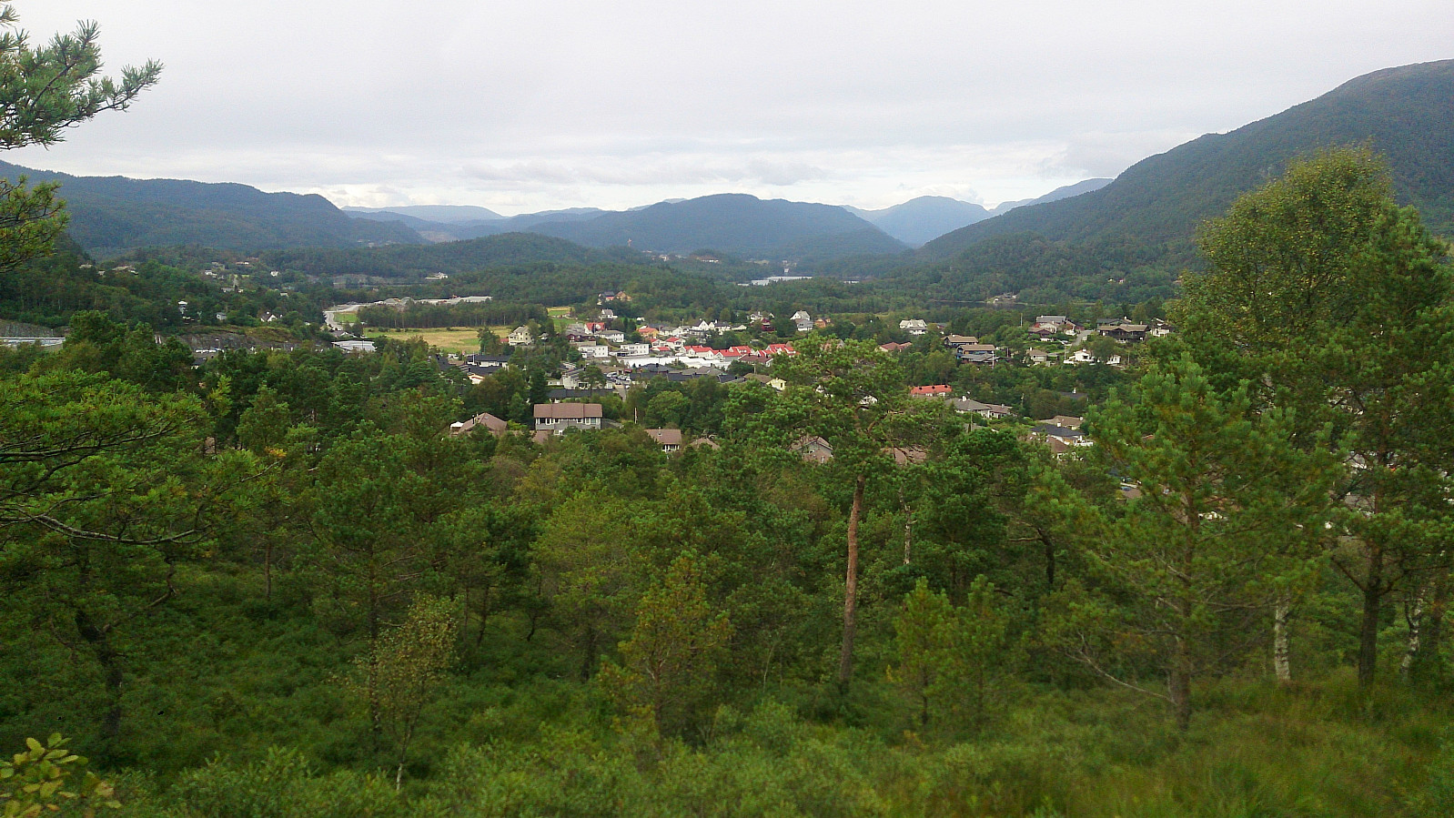
Upon reaching the main road, I headed north along the roads in the direction of the second goal of the day: Liafjellet (or Storevarden as it was called on most of the signs). I located the trailhead shortly after turning northeast on the road called Solbakken, and followed the marked trail all the way to the summit.
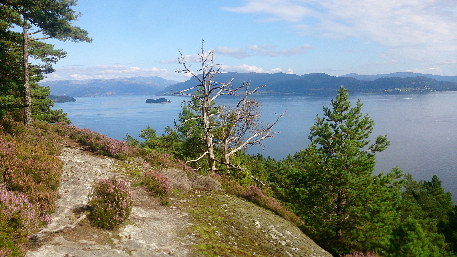
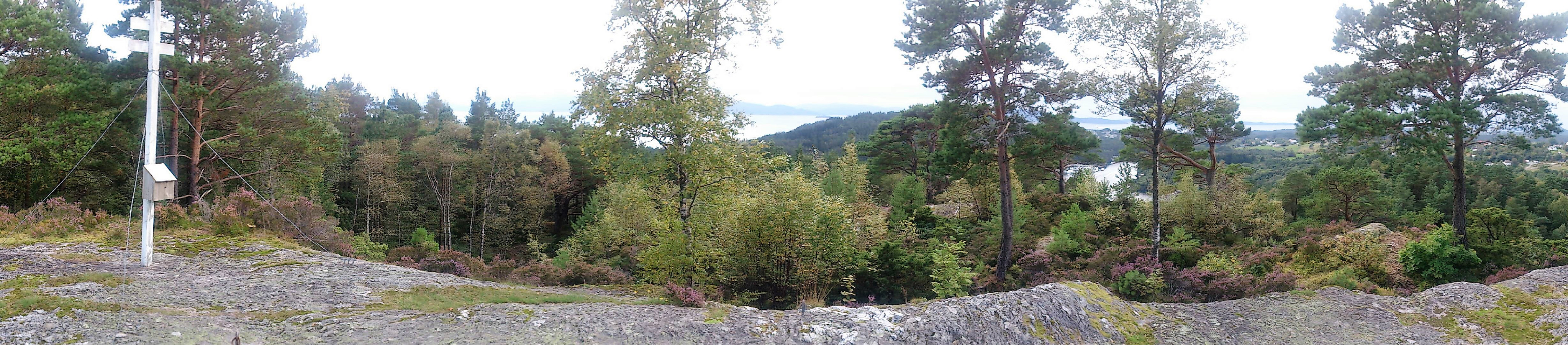
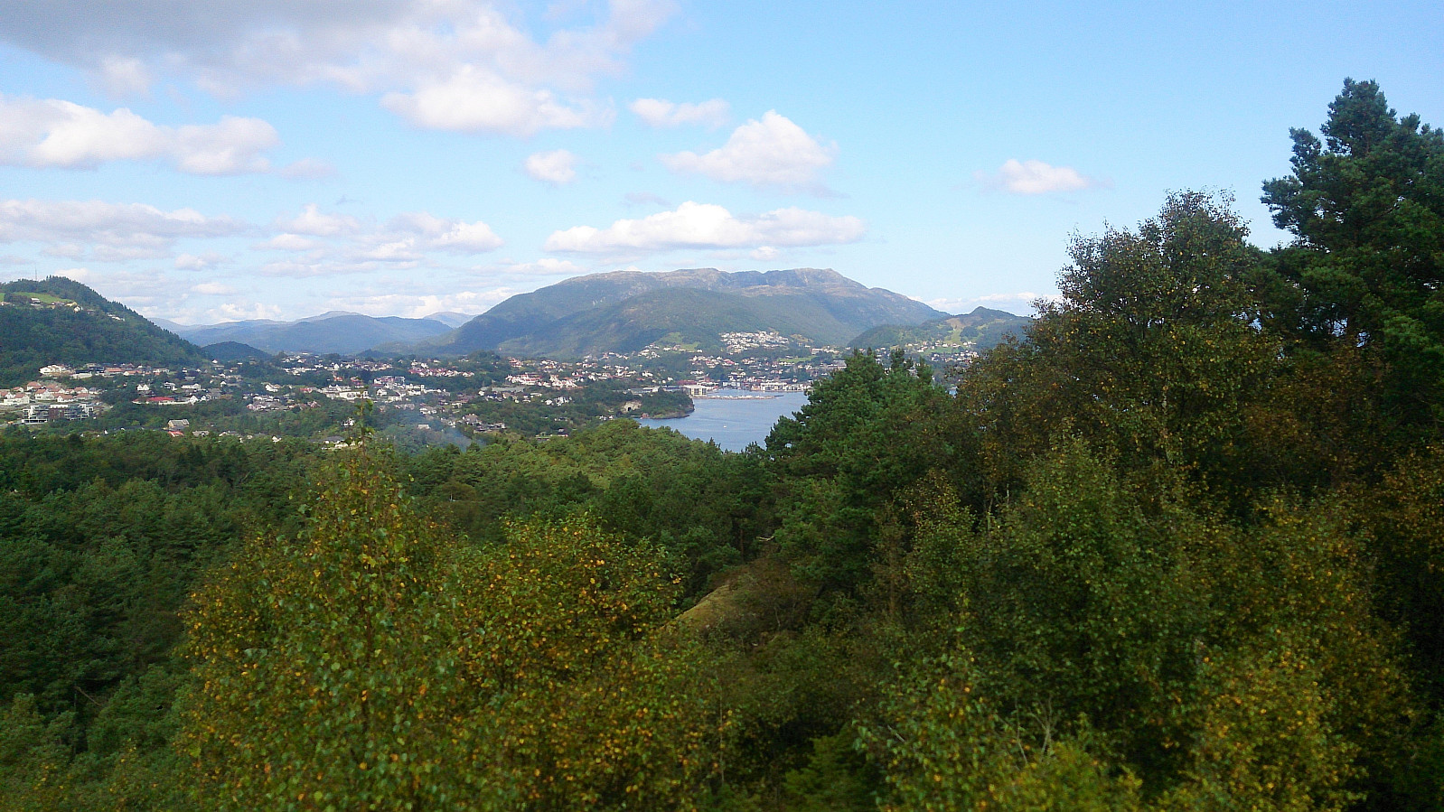
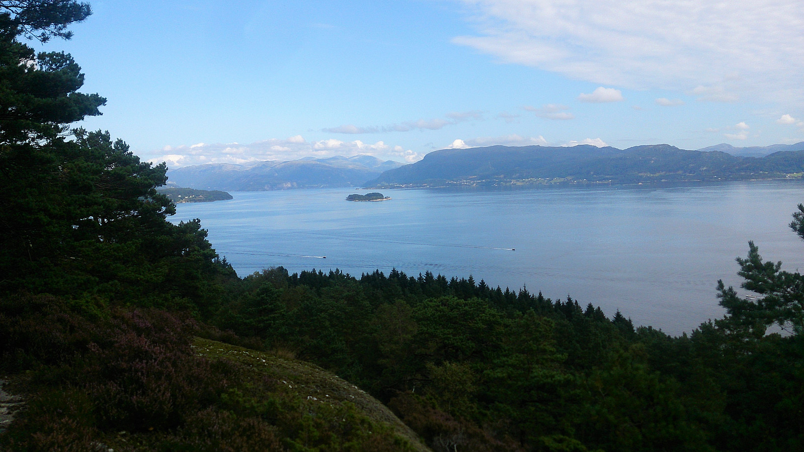
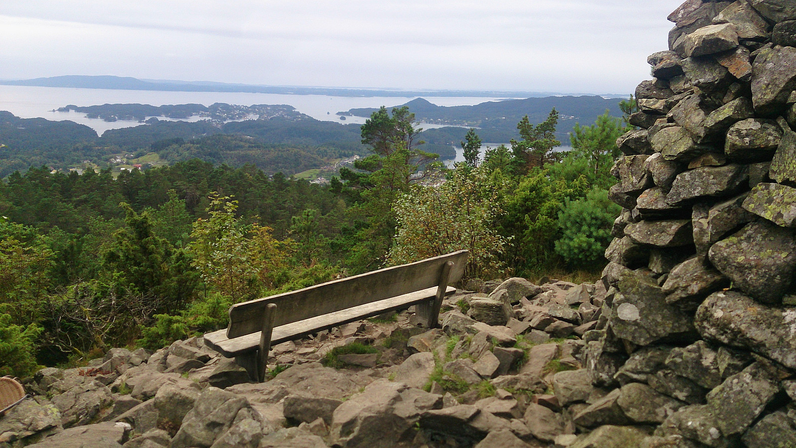
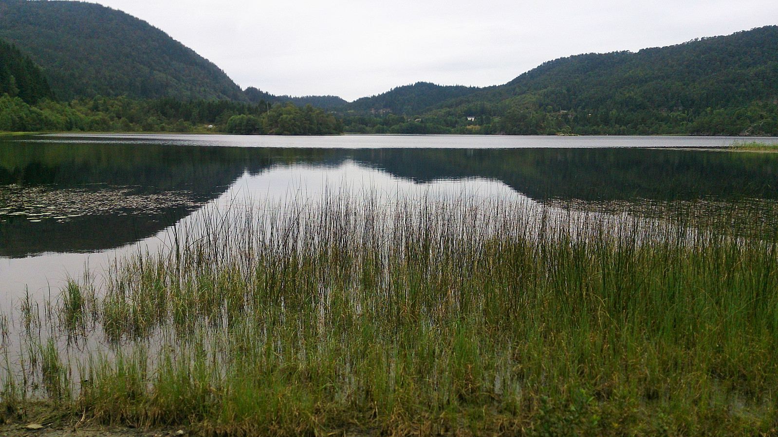
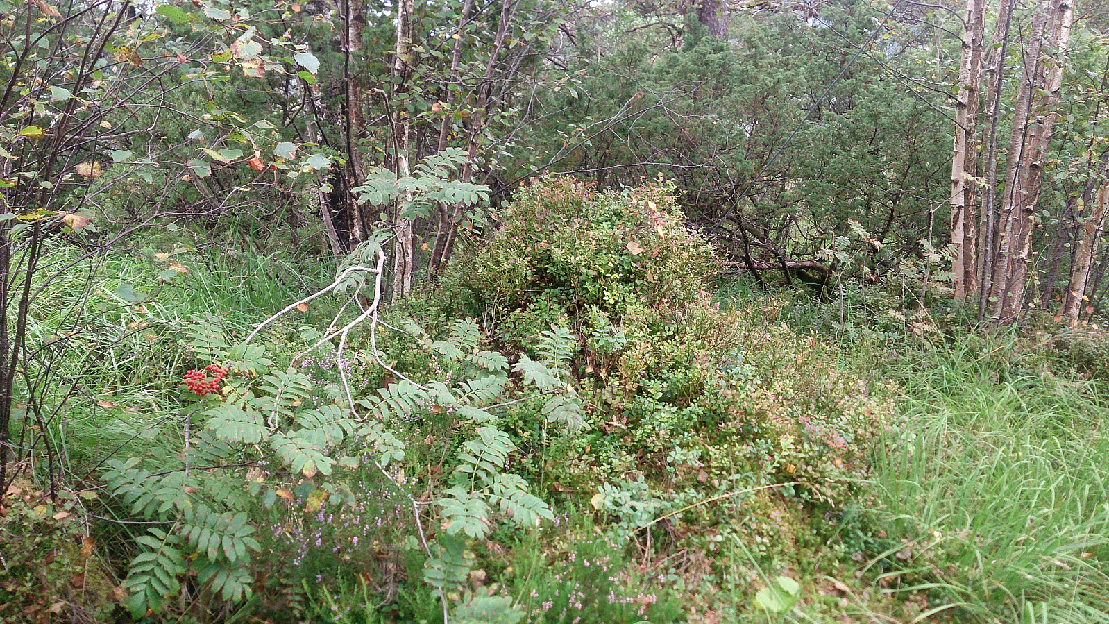
The views were again somewhat limited by trees, but the views towards the southwest were pretty good. From the summit I doubled back and returned to a sign I had seen earlier pointing towards Ulvenvatnet. This trail took me north to Mobergstølane before heading northwest along Ulvenvatnet, and finally ending up at the main road south of Ulven. The walk along Ulvenvatnet, while not bad, was not as nice as hoped. It also ended in a rather wet area and at the outskirts of a shooting range/army training ground, before finally reaching a small airport. I was therefore happy to be back at the main road (Ulvenvegen) again, and followed it northeast to Kolskogen for the final goal of the day: Vardafjellet.
Vardafjellet
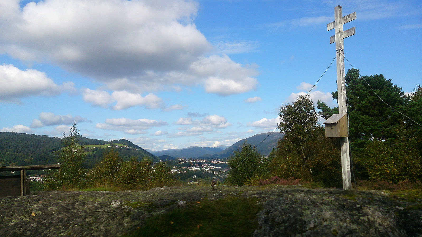
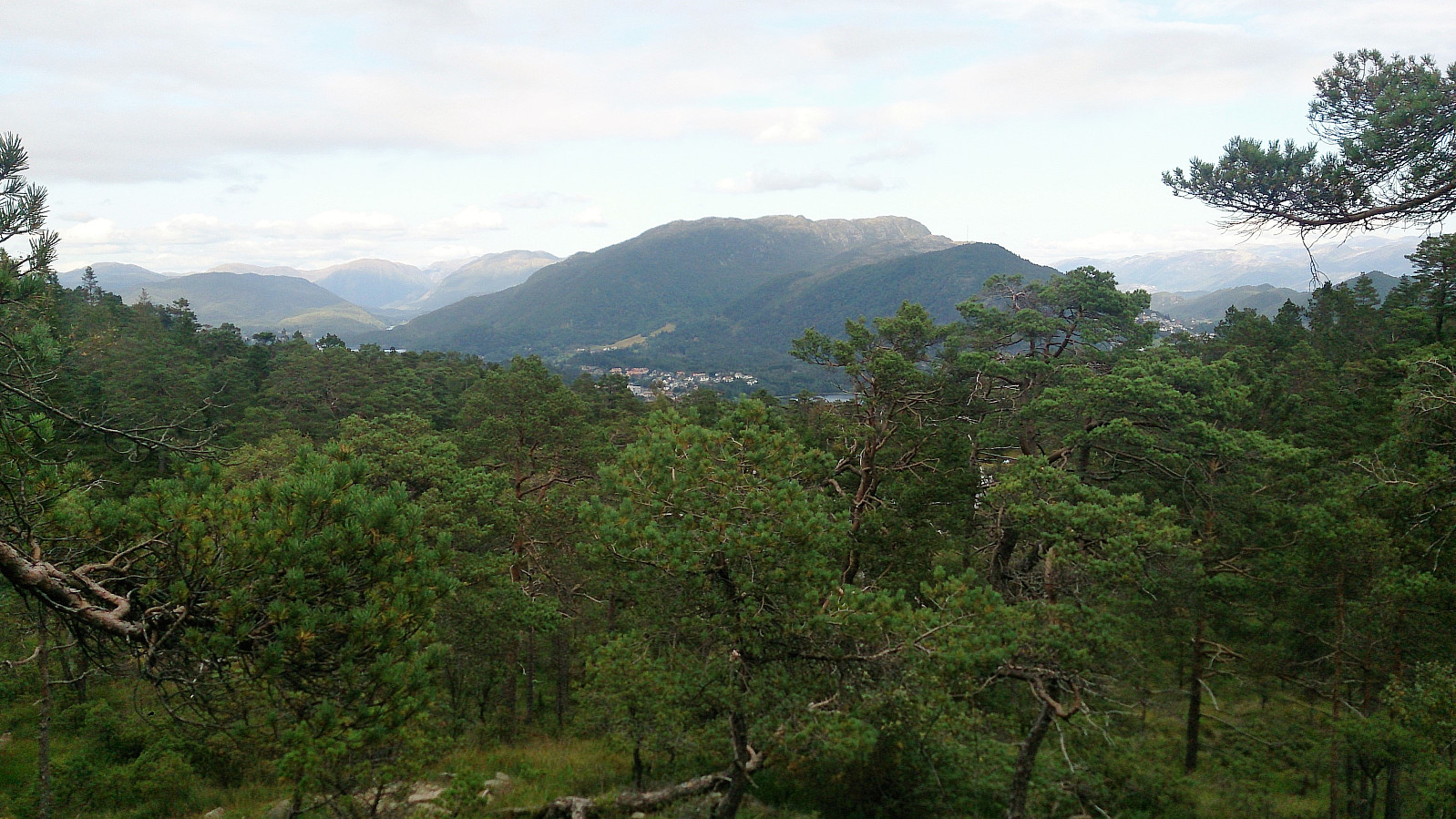
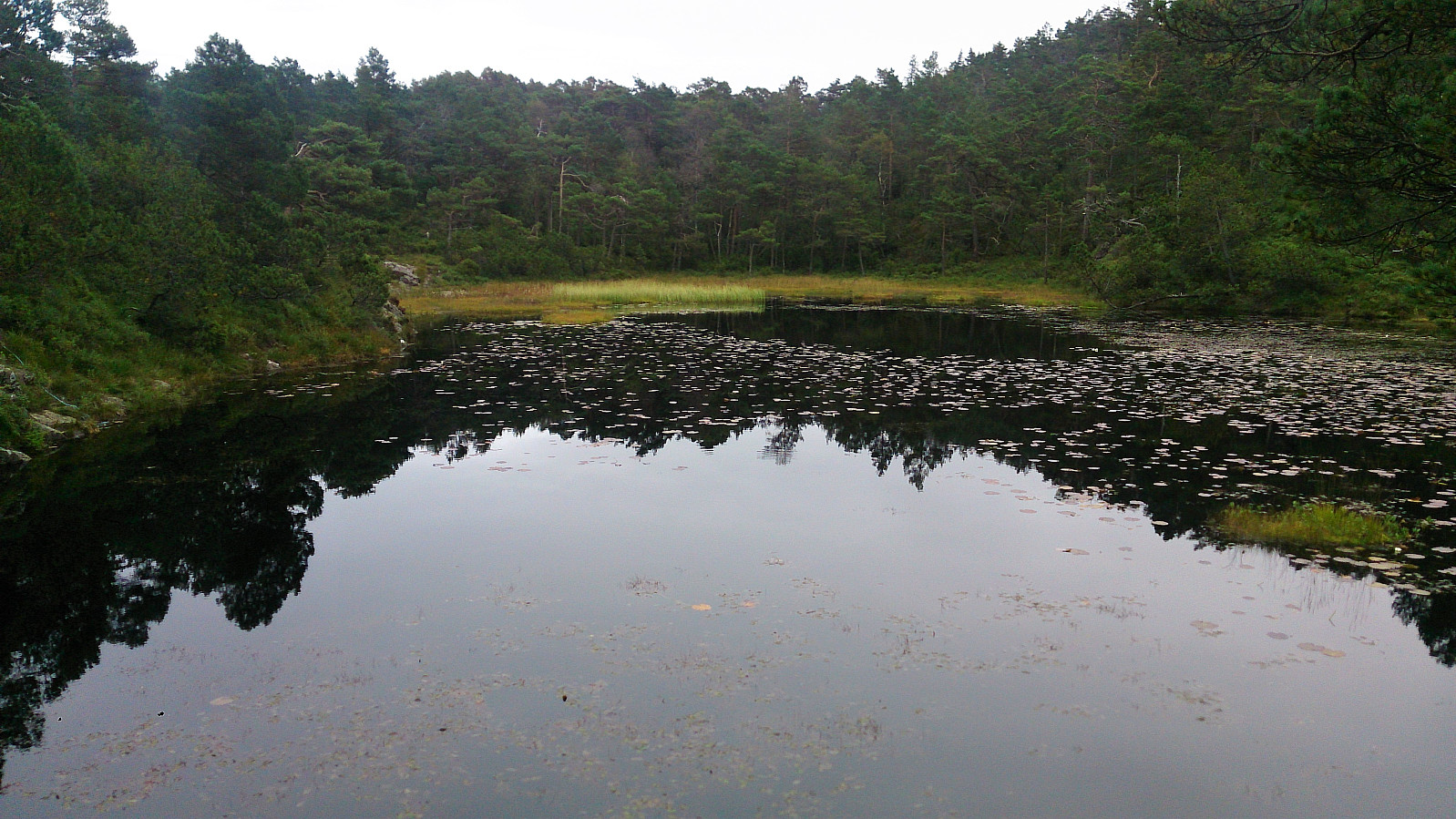
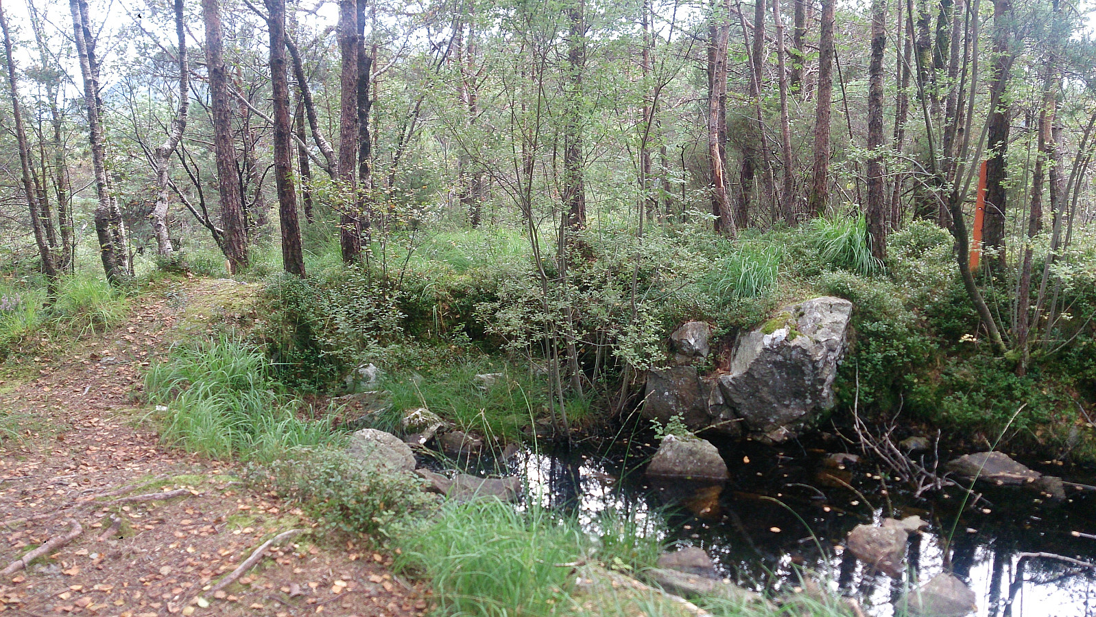
The trail towards Vardafjellet started more or less directly from Industrivegen, first as a gravel road and later as a normal trail, and could easily be followed all the way to the summit. There was no distinct highest point. Rather what would have been the highest point was occupied by a small pond. No views at all from the summit due to lots of trees. However, slightly better views could be obtained north of the highest point.
From the summit of Vardafjellet, I followed a trail north to Varåsgrenda and from there took a shortcut back to Industrivegen. I now had half an hour until the next bus, so I decided to head north, reaching Storestraumen just south of Søfteland before taking the bus back to the city center.
Conclusion
This hike was very much a mixed bag. It started out great with the roundtrip at Katlaberget, and the crossing of Liafjellet was also pretty nice. The walk around Ulvenvatnet was however not as enjoyable as hoped, and Vardafjellet is clearly a summit that most people visit at most one time.

| Start date | 26.08.2017 13:47 (UTC+01:00 DST) |
| End date | 26.08.2017 18:22 (UTC+01:00 DST) |
| Total Time | 4h 35min |
| Moving Time | 4h 19min |
| Stopped Time | 0h 15min |
| Overall Average | 3.8km/h |
| Moving Average | 4.0km/h |
| Distance | 17.3km |
| Vertical meters | 662m |


User comments