
Togga (05.08.2017)

Written by hbar (Harald Barsnes)

| Start point | P-plass Gunvordalen (427m) |
|---|---|
| Endpoint | P-plass Gunvordalen (427m) |
| Characteristic | Hillwalk |
| Duration | 2h 38min |
| Distance | 5.0km |
| Vertical meters | 783m |
| GPS |
|
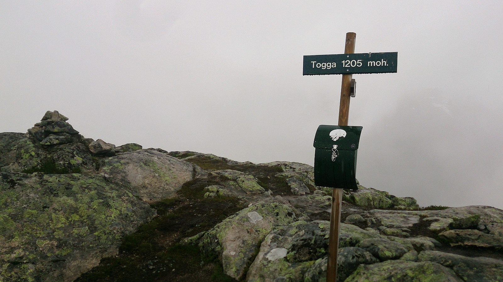
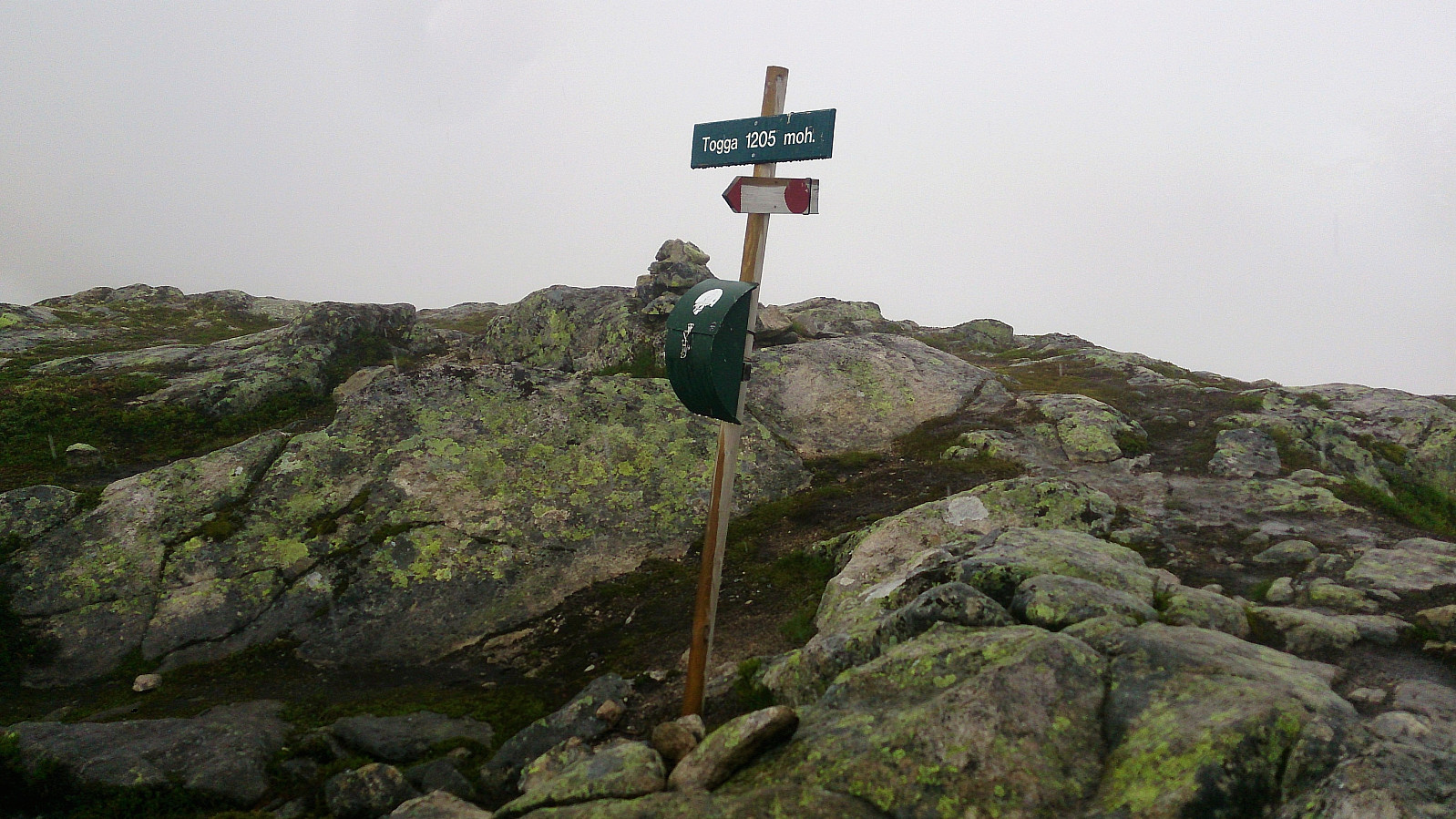
| Ascents | Togga (1,205m) | 05.08.2017 |
|---|---|---|
| Visits of other PBEs | Gunvordalen p-plass (430m) | 05.08.2017 |
| Tursti Togga (430m) | 05.08.2017 |
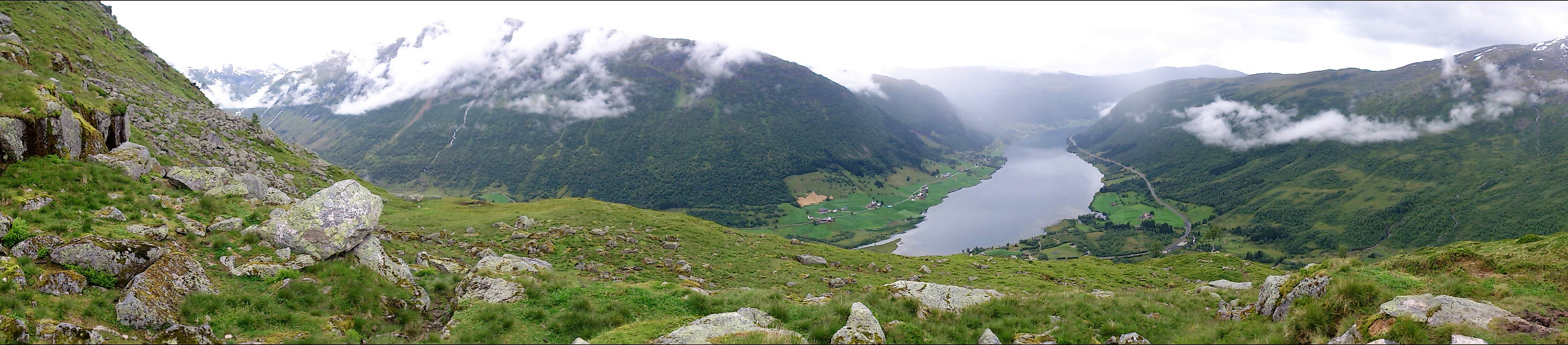
Togga
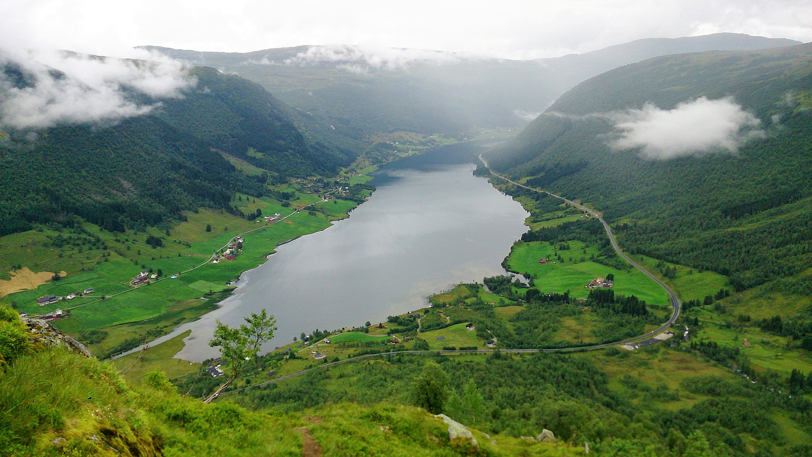
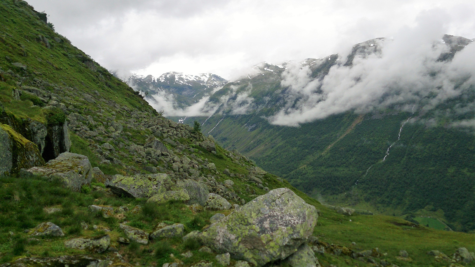
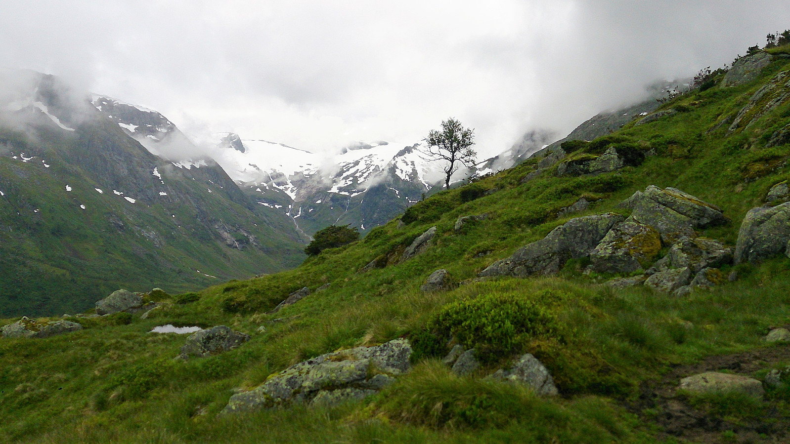
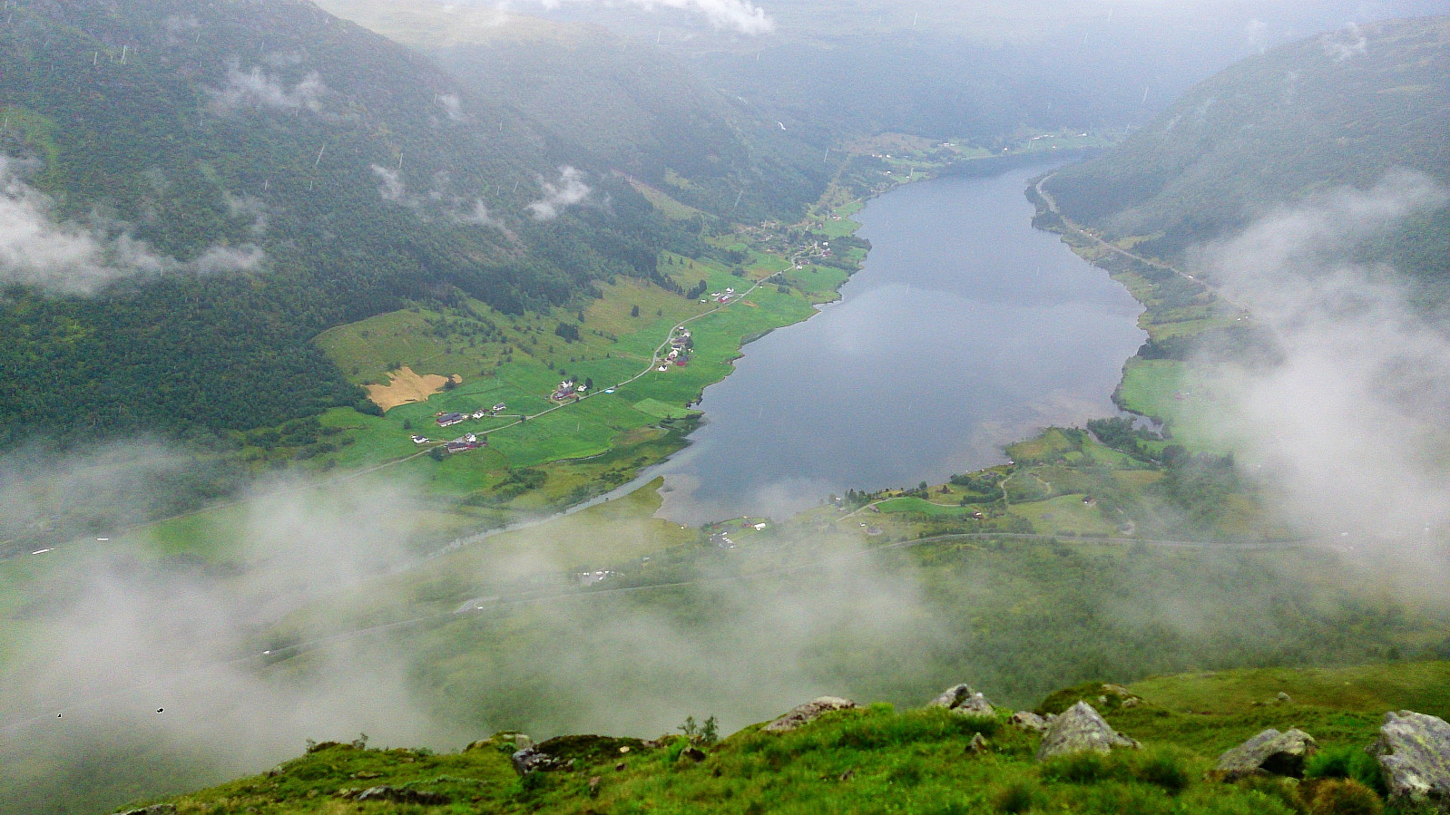
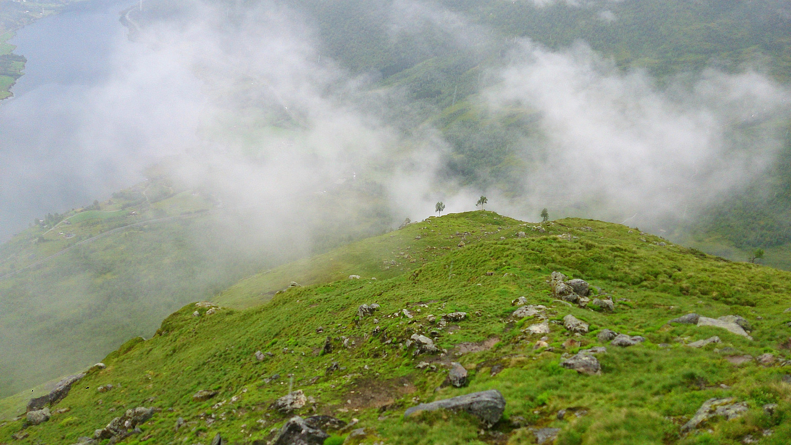
Started from the large parking lot at Gunvordalen and followed the marked trail to the summit. The trail was slightly steeper than expected, but did not contain any difficult sections. However, we had to be a bit careful on the way down as it had started raining and the trail got quite slippery.
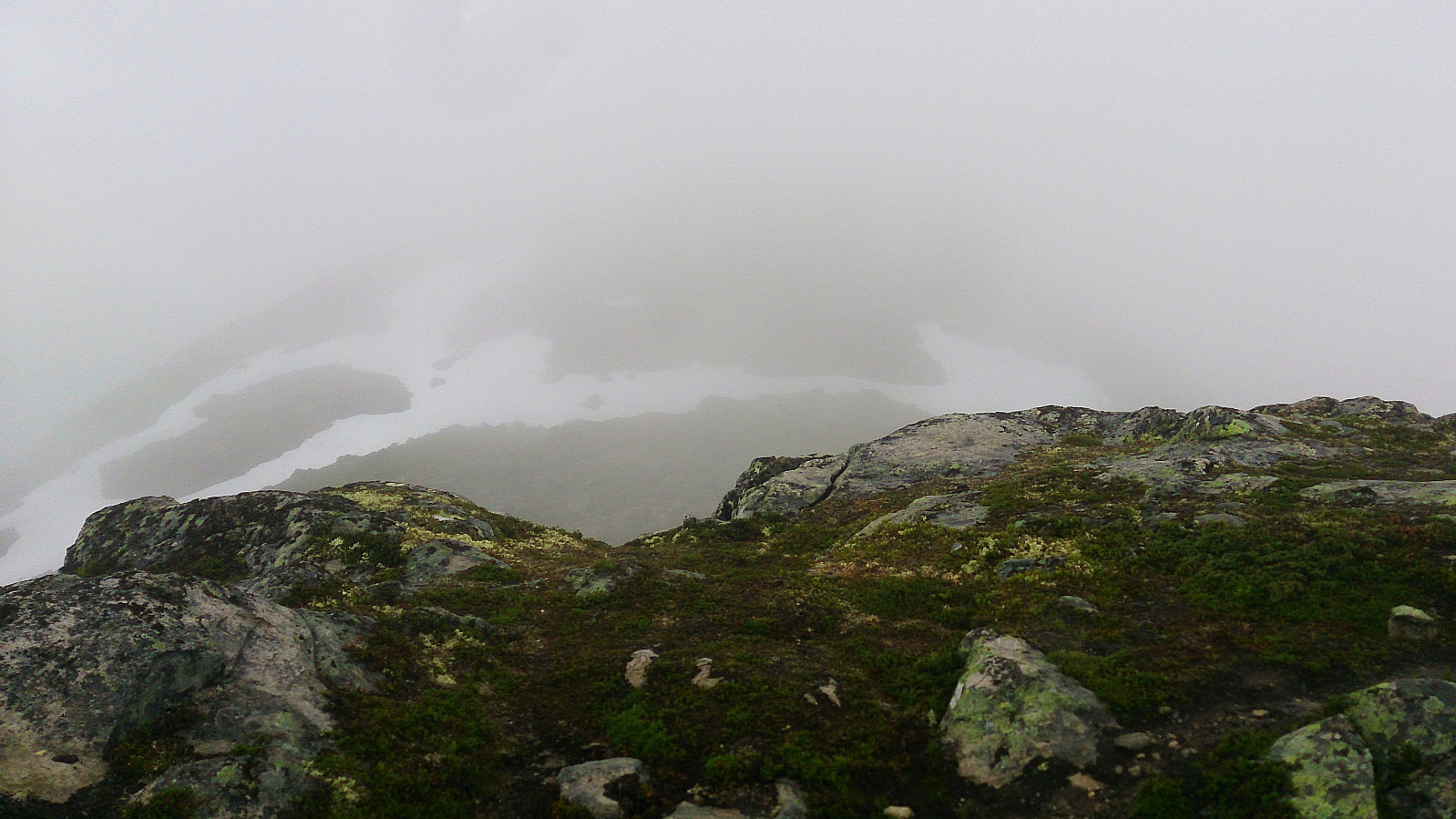
Sadly the rain was also accompanied with quite dense fog, resulting in next to no views from the summit. Clearly a hike to repeat in better weather.
| Start date | 05.08.2017 13:38 (UTC+01:00 DST) |
| End date | 05.08.2017 16:16 (UTC+01:00 DST) |
| Total Time | 2h 38min |
| Moving Time | 2h 25min |
| Stopped Time | 0h 13min |
| Overall Average | 1.9km/h |
| Moving Average | 2.0km/h |
| Distance | 5.0km |
| Vertical meters | 782m |


User comments